The 20 Most Amazing Peaks around Birgland
Best mountain peaks around Birgland are situated in a hilly landscape within the Amberg-Sulzbach district of Bavaria, Germany. This region features an average elevation of 390 meters, characterized by forests and distinctive rock formations. It lies on the edge of the Upper Palatinate Jura and is near the Hirschwald Nature Park, providing a setting for outdoor activities. Birgland offers a varied topography for exploration.
Best mountain peaks around Birgland
- The most popular mountain peaks is View of Happurger See from…
Last updated: September 27, 2026
View of Happurger See from Hohler Fels
Highlight • Viewpoint
Translated by Google •
Tip by

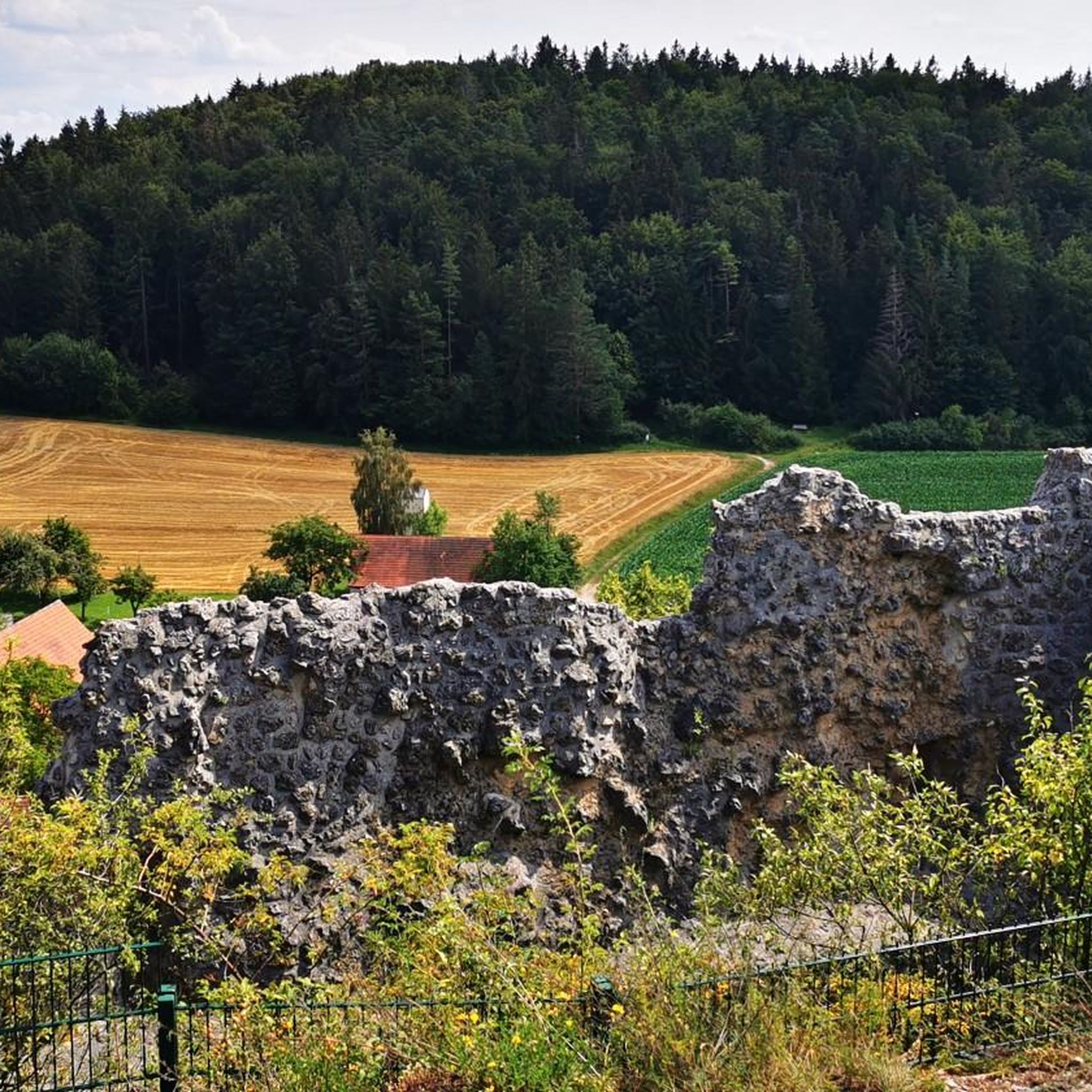
Moss-covered rock formations on the Hochberg
Highlight • Natural Monument
Translated by Google •
Tip by

Sign up now to discover places like this
Get recommendations on the best single tracks, peaks, & plenty of other exciting outdoor places.
View from the Mühlkoppe
Highlight • Viewpoint
Translated by Google •
Tip by

Kreuzberg Summit (586 m)
Highlight • Summit
Translated by Google •
Tip by

Leitenberg summit (616 m) with summit logbook
Highlight • Summit
Translated by Google •
Tip by
Sign up for free to discover even more peaks around Birgland.
Already have an account?
Start today with a free account
Your next adventure awaits.
Popular around Birgland

Nature, the outdoors and adventure – hiking through the VGN's nature parks
11 Days on the Erzweg Quality Hiking Trail
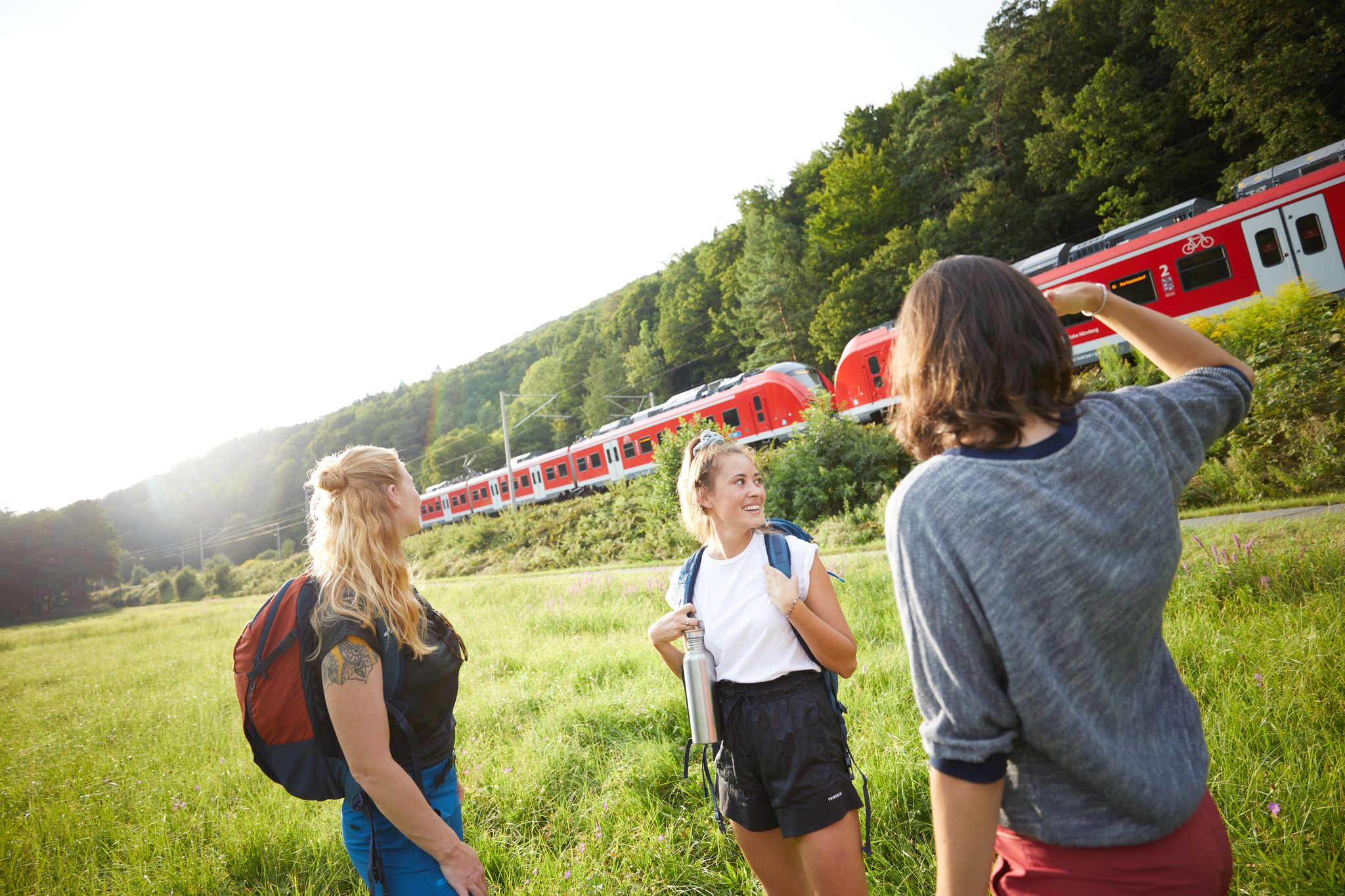
All aboard for summer hiking with Germany’s VGN
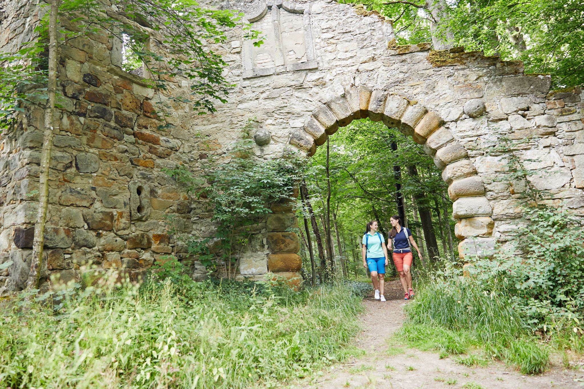
Full of views and fun – VGN leisure tips 2022
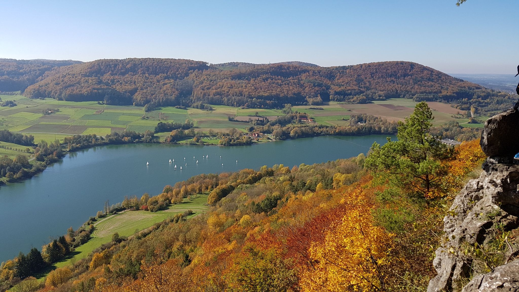
Colourful leaves & gentle hills – hiking in autumn in Franconia
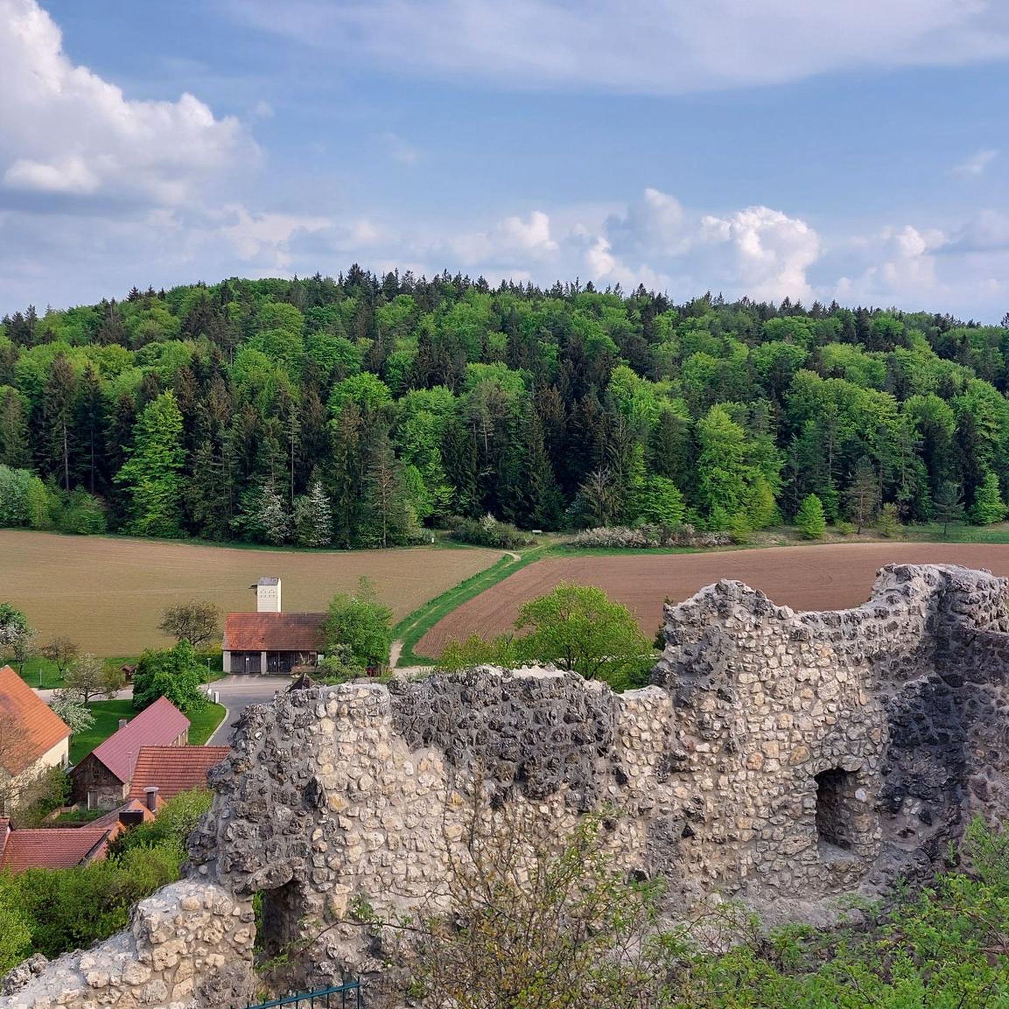
Hiking around Birgland
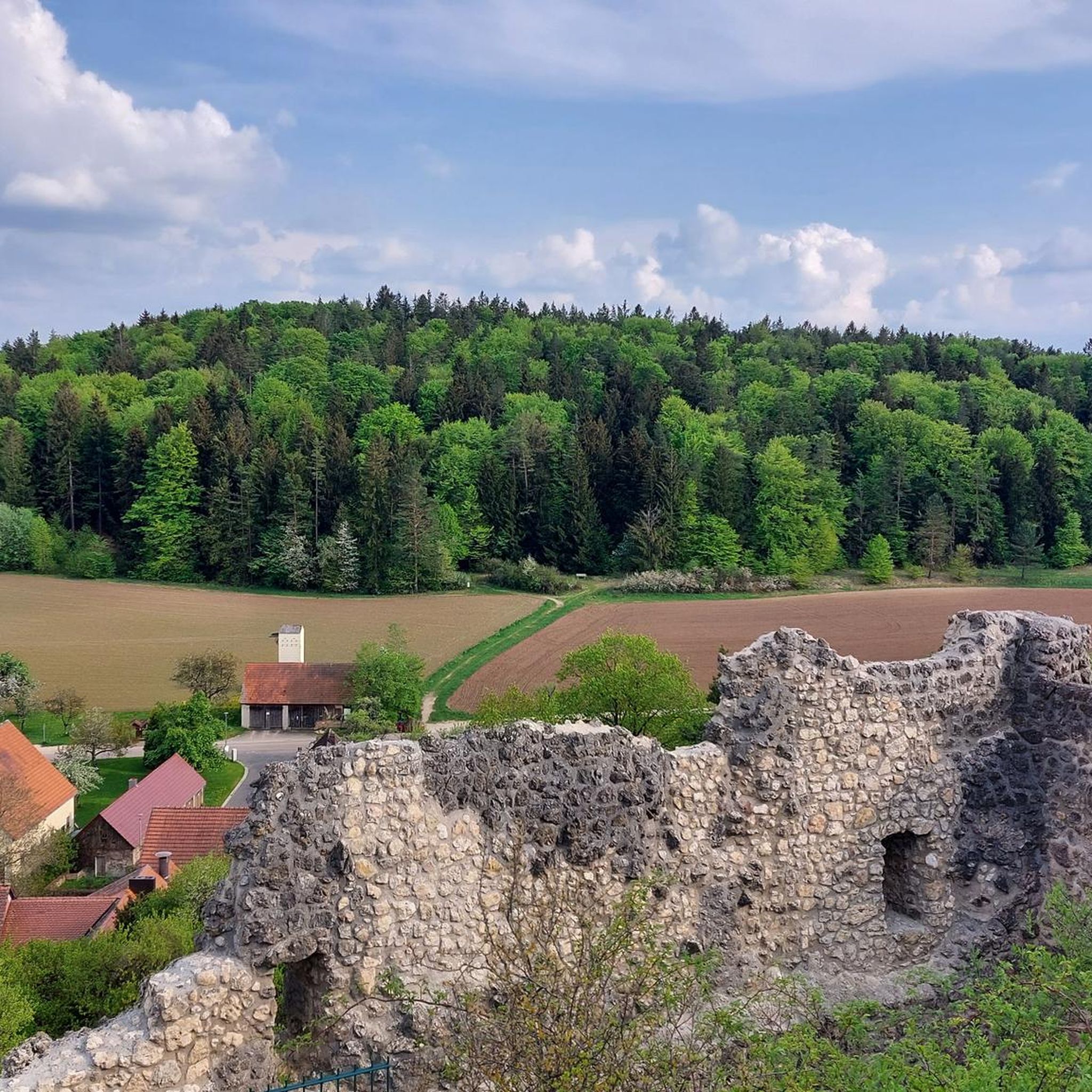
Cycling around Birgland
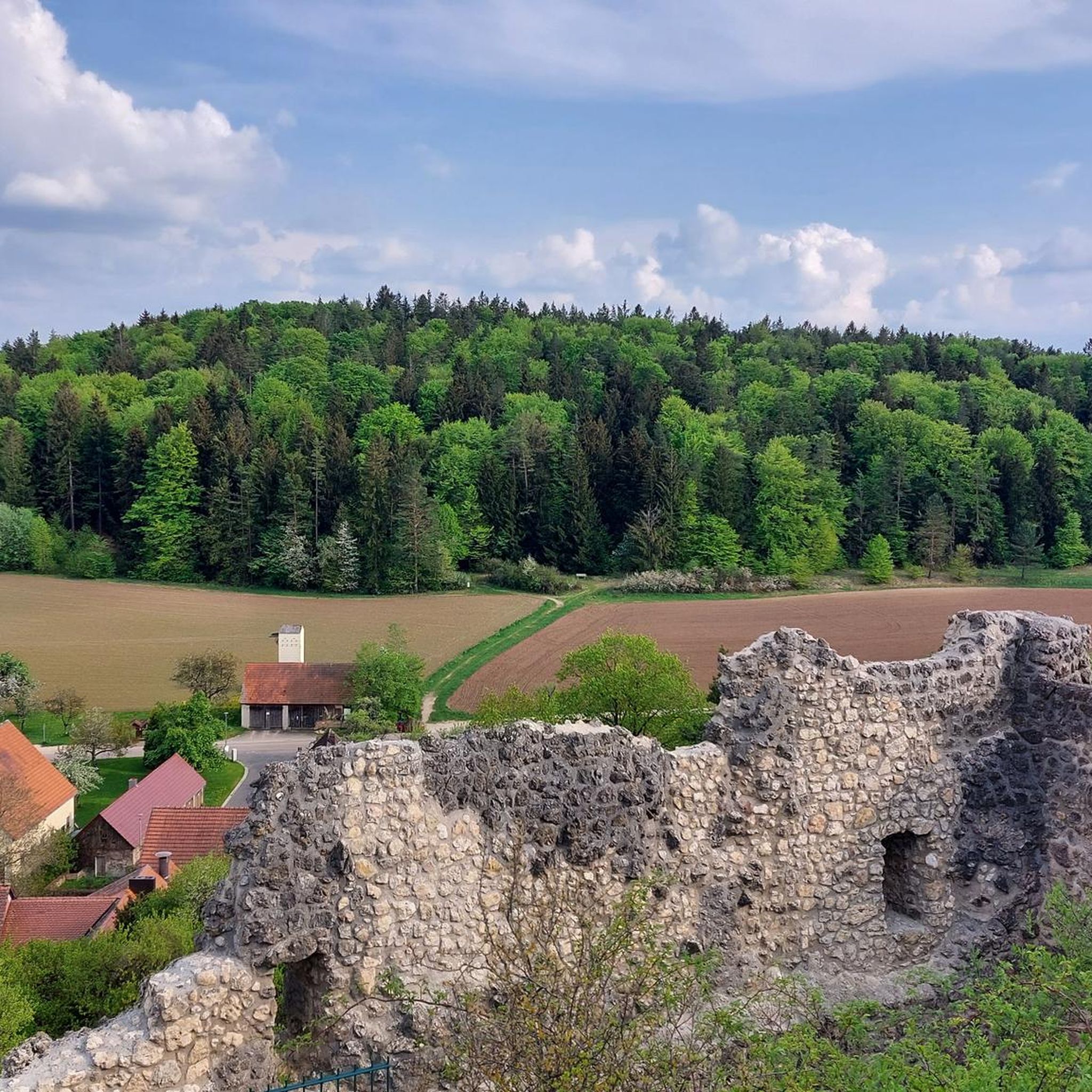
Road Cycling Routes around Birgland
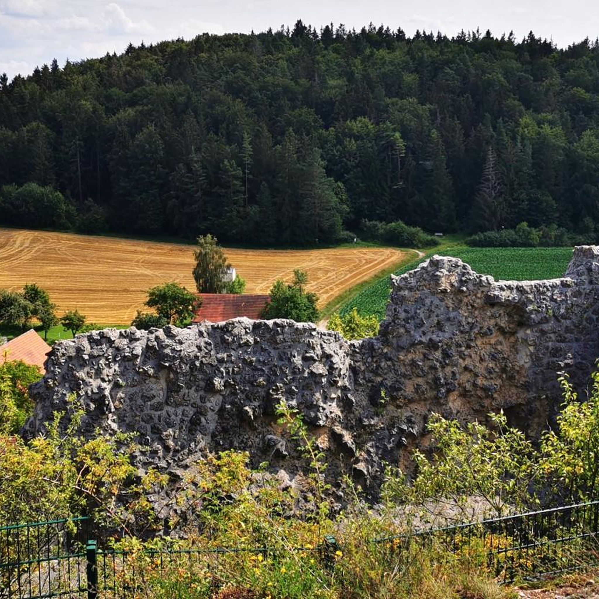
MTB Trails around Birgland
Running Trails around Birgland
Other adventures around Birgland


Tips from the Community

The Leitenberg is one of the 7 summits in the Nuremberg region.
2
0
At the summit of Leitenberg there is a small summit cross
2
0

Caution is required in autumn as the stones can be very slippery due to leaves and moisture.
2
1

Wonderful vantage point with a bench. Further ahead - towards the edge of the rock - there is another small summit cross.
6
0
Magnificent boulders overgrown with moss in the quiet forest.
3
1

Beautiful cross and an additional highlight on the Mühlkoppe.
6
0

There are many impressive large moss covered stones and the artwork "High Mountain Shoes", 2 red high heels carved out of wood.
3
0
I find the Mühlkoppe even more beautiful as a vantage point and photo spot than the Hohle Fels. The energy on the Mühlkoppe is so peaceful. In contrast to the High Rock, there was no one there. There is a summit cross and a bench with the best view of the opposite peaks and the valley to Pommelsbrunn. A few meters further along the path there is a second bench. I will certainly visit the Mühlkoppe again soon. That's how she impressed me.
7
1
Frequently Asked Questions
What kind of "mountain peaks" can I expect to find in the Birgland region?
The Birgland region is characterized by a hilly landscape with an average elevation of 390 meters, rather than towering mountain peaks. You'll discover picturesque settings with mysterious forests, unique rock formations, and numerous viewpoints offering expansive vistas over the surrounding area.
What are some notable natural features or viewpoints in Birgland?
Birgland offers several impressive natural features and viewpoints. Highlights include the View of Happurger See from Hohler Fels, which provides magnificent views of the Happurg reservoir. Another popular spot is the View from the Mühlkoppe, offering vistas of the Högenbachtal and Pommelsbrunn. The region is also known for its bizarre rock formations, such as the Moss-covered rock formations on the Hochberg.
Are there any unique rock formations to explore in Birgland?
Yes, the untouched forest landscape of Birgland is particularly known for its bizarre rock formations. The Moss-covered rock formations on the Hochberg are a natural monument featuring varied hiking trails over a ridge, combined with information on Celtic castle history and interesting geological features. The Viewpoint Rock "Alte Fritz" near Hellberg is another notable formation.
What is the highest point in the Birgland area?
The highest elevation in the municipality of Pommelsbrunn, within the broader Birgland area, is the Leitenberg summit (616 m). While the summit itself doesn't offer a direct view, it features a summit logbook for visitors.
Are there extensive hiking trails available in Birgland?
Birgland boasts over 100 km of marked hiking trails, providing numerous opportunities to explore its diverse topography of rolling hills, dense forests, and idyllic landscapes. Popular routes include sections of the Jurasteig, which offer breathtaking views and access to historical sights.
Can I find trails suitable for families with children?
Yes, Birgland offers several family-friendly options. The Moss-covered rock formations on the Hochberg provide varied trails with opportunities for exciting climbing and playing. Additionally, the Enchanted Forest Orchid Trail near Lichtenegg castle ruins is an easily manageable short hike, and the Spurzlgrub Cave near Hofstetten is a family-friendly natural monument.
Are there any challenging climbs or difficult trails around Birgland?
For those seeking a challenge, the Kreuzberg Summit (586 m) offers a somewhat steep and difficult climb, requiring careful footing due to foliage. Some of the longer running and cycling routes in the area are also rated as difficult, such as the 40 km "Poppberg Village – Poppberg Castle Ruins loop from Schwend" for running, or the 81 km "Upper Market, Hersbruck – Hersbruck Castle loop from Rothsricht" for cycling.
Are there any historical sites or cultural points of interest near the Birgland peaks?
Yes, the region combines natural beauty with historical interest. Near the View of Happurger See from Hohler Fels, you can find the remains of an abandoned Celtic oppidum. The Moss-covered rock formations on the Hochberg feature information on Celtic castle history. The Lichtenegg castle ruins are also a notable historical landmark in the area.
When is the best time of year to visit the Birgland region for outdoor activities?
The best seasons for hiking and exploring Birgland are spring and autumn. During these times, the mild temperatures and vibrant natural colors enhance the outdoor experience, making it ideal for enjoying the trails and viewpoints.
What do visitors particularly enjoy about the mountain peaks and viewpoints in Birgland?
Visitors frequently praise the magnificent views from spots like the View of Happurger See from Hohler Fels and the View from the Mühlkoppe, often noting the inviting seating areas for rest. The varied hiking trails, especially those featuring interesting rock formations and historical context like the Moss-covered rock formations on the Hochberg, are also highly appreciated.
Are there options for running or cycling near the Birgland peaks?
Yes, the Birgland region offers a variety of routes for different activities. You can find numerous running trails, including moderate loops like the "Running loop from Lauterhofen." For cyclists, there are cycling routes and road cycling routes, such as the "View of Houbirg – Happurg Reservoir loop from Fürnried" for touring bikes or the "Post Inn, Haunritz – Happurg Reservoir loop from Alfeld" for road cycling.
Are there any hidden gems or less-known spots to discover in Birgland?
Beyond the well-known viewpoints, the Birgland region holds some lesser-known treasures. The Spurzlgrub Cave near Hofstetten is considered a natural monument and an insider tip for a family-friendly hike. The Kreuzberg Summit (586 m) is also described as a lonely and inconspicuous summit, offering a sense of discovery for those who seek it out.
Most popular routes around Birgland
Most popular attractions around Birgland

Get inspired with the komoot mobile app


Explore more
See even more amazing summits around Birgland with these guides:
