The 17 Most Amazing Peaks around Sarmersbach
Best mountain peaks around Sarmersbach are defined by the unique volcanic landscape of Germany's Vulkaneifel region. This area features elevated terrain formed by ancient volcanic activity, providing numerous scenic high points and hiking opportunities. The landscape includes dense forests, meadow valleys, and distinctive volcanic crater lakes known as Maare. These geological features contribute to varied terrain with significant elevation changes, offering expansive views.
Best mountain peaks around Sarmersbach
- The most popular mountain peaks is Freudenkoppe Castle Ruins, a castle…
Last updated: July 1, 2026
Dronke Tower on the Mäuseberg
Highlight • Viewpoint
Translated by Google •
Tip by

Maarkreuz Schalkenmehren
Highlight • Viewpoint
Translated by Google •
Tip by

Sign up now to discover places like this
Get recommendations on the best single tracks, peaks, & plenty of other exciting outdoor places.
Sign up for free
Millstone Cave at Nerother Kopf
Highlight • Cave
The millstone cave consists of lava boards and is an artificial cave in the Vulkaneifel, Rhineland-Palatinate. It was created by the production of …
Translated by Google •
Tip by

Freudenkoppe Castle Ruins
Highlight • Castle
Translated by Google •
Tip by
Ernstberg
Highlight • Volcano
Translated by Google •
Tip by

Sign up for free to discover even more peaks around Sarmersbach.
Sign up for free
Already have an account?
Start today with a free account
Your next adventure awaits.
Login or Signup
Popular around Sarmersbach


Tips from the Community

The 699 meter high Ernstberg is the highest elevation in the Eifel after the Hohe Acht. Since the summit is covered in forest, you unfortunately don't have a clear view of the surrounding landscape of the Volcanic Eifel from up here. About 500 meters away and about 60 meters lower is the Eifel-Blick Ernstberg, which offers us a wonderful panorama in clear weather.
3
1
The Ernstberg is an old Pleistocene stratovolcano with a distinctive ring-shaped arrangement of welding slag and basalt deposits. Its summit consists of welding slag, which builds up a crater wall that is open to the east. This is where the basalt masses flowed out, forming a semicircle on the eastern slope of the mountain; from the Middle Ages until around 1930, millstones were quarried at the foot of the mountain. Source: Wikipedia
4
0
After the climb to the summit of the Ernstberg, the benches offer a well-deserved breather.
3
0

Strenuous climb to a lot of rocks in the forest, a beautiful piece of unspoilt nature.
2
0

The steep climb to the castle is quite difficult. A real calf biter! But once at the top you forget it all. Beautiful ruin and the cave is more than worth it.
5
0

Nice view with markers for orientation. The tower, which was built in 1902, is only 11m high, but stands on top of the 560m high Mauseberg and is thus 166m above the Gemünder Maar, guaranteeing a magnificent view of the surrounding area.
14
0
Beautiful view with an information board for orientation. The tower, built in 1902, is only eleven meters high, but stands at the top of the 560-meter-high Mäuseberg and is thus 166 meters above the Gemünder Maar. This guarantees a magnificent view over the surrounding area.
19
1
Very nice place and viewing point at the Maarkreuz above the Schalkenmehrener Maar. With its inscription "You are called the Maar Cross, for the salvation of us and this country. Emergency year 1932", the cross commemorates severe thunderstorms and the resulting damage and crop failures.
12
0
Frequently Asked Questions
What kind of elevated terrain can I expect around Sarmersbach?
Sarmersbach is nestled in Germany's Vulkaneifel region, characterized by a unique volcanic landscape rather than traditional towering mountain peaks. You'll find elevated terrain formed by ancient volcanic activity, offering numerous scenic high points, dense forests, picturesque meadow valleys, and distinctive volcanic crater lakes known as Maare. These geological features create varied terrain with significant elevation changes and expansive views.
Which are some of the most notable elevated spots or viewpoints to visit near Sarmersbach?
For panoramic views, visit the Dronke Tower on the Mäuseberg, an 11-meter high observation tower offering stunning vistas over the volcanic landscape and the Gemündener Maar. Another excellent viewpoint is the Maarkreuz — View of the Schalkenmehren Maar, which provides a relaxing spot with fantastic views of the Schalkenmehrener Maar and the vast volcanic landscape.
Are there any historical sites located on elevated points around Sarmersbach?
Yes, the Freudenkoppe Castle Ruins are a must-see. Located on a 610-meter high basalt cone, this hilltop castle ruin features a well-preserved keep and impressive gables from its 15th-century castle house. Nearby, you can also explore the Millstone Cave at Nerother Kopf, an artificial cave created by the production of millstones from volcanic rock.
What is the highest point in the broader Vulkaneifel region near Sarmersbach?
While not directly adjacent to Sarmersbach, the Ernstberg is a significant elevated point in the Vulkaneifel. At almost 700 meters high, it is the second highest mountain in the Eifel, featuring interesting rock formations and dense forests. The summit itself is densely forested and offers no direct view, but the surrounding trails are beautiful.
What are the main hiking trails around Sarmersbach?
Sarmersbach offers a network of well-developed hiking trails, often referred to as "HeimatSpur" routes, which traverse the elevated volcanic landscape. Popular options include the 10-kilometer HeimatSpur Afelskreuzrunde – GesundLand Vulkaneifel, the 8.8-kilometer HeimatSpur Rundweg Alte Eiche, the 12.2-kilometer HeimatSpur Kleelandrunde – GesundLand Vulkaneifel, and the longer 16-kilometer Struthrundweg.
What natural features define the landscape around Sarmersbach?
The landscape around Sarmersbach is primarily defined by its volcanic origins. Key natural features include the distinctive "Maare" – volcanic crater lakes – which are a defining characteristic of the Vulkaneifel. You'll also find dense forests, varied elevated terrain with significant elevation changes, and unique rock formations, especially around volcanic sites like Ernstberg.
Are there family-friendly hiking options near Sarmersbach?
Yes, the region offers trails suitable for families. The Maarkreuz — View of the Schalkenmehren Maar is a family-friendly viewpoint, and many of the HeimatSpur routes offer varying levels of difficulty, with some being suitable for casual walkers. Look for trails that are shorter in distance and have less extreme elevation changes for a more relaxed family outing.
What outdoor activities can I do near these mountain peaks besides hiking?
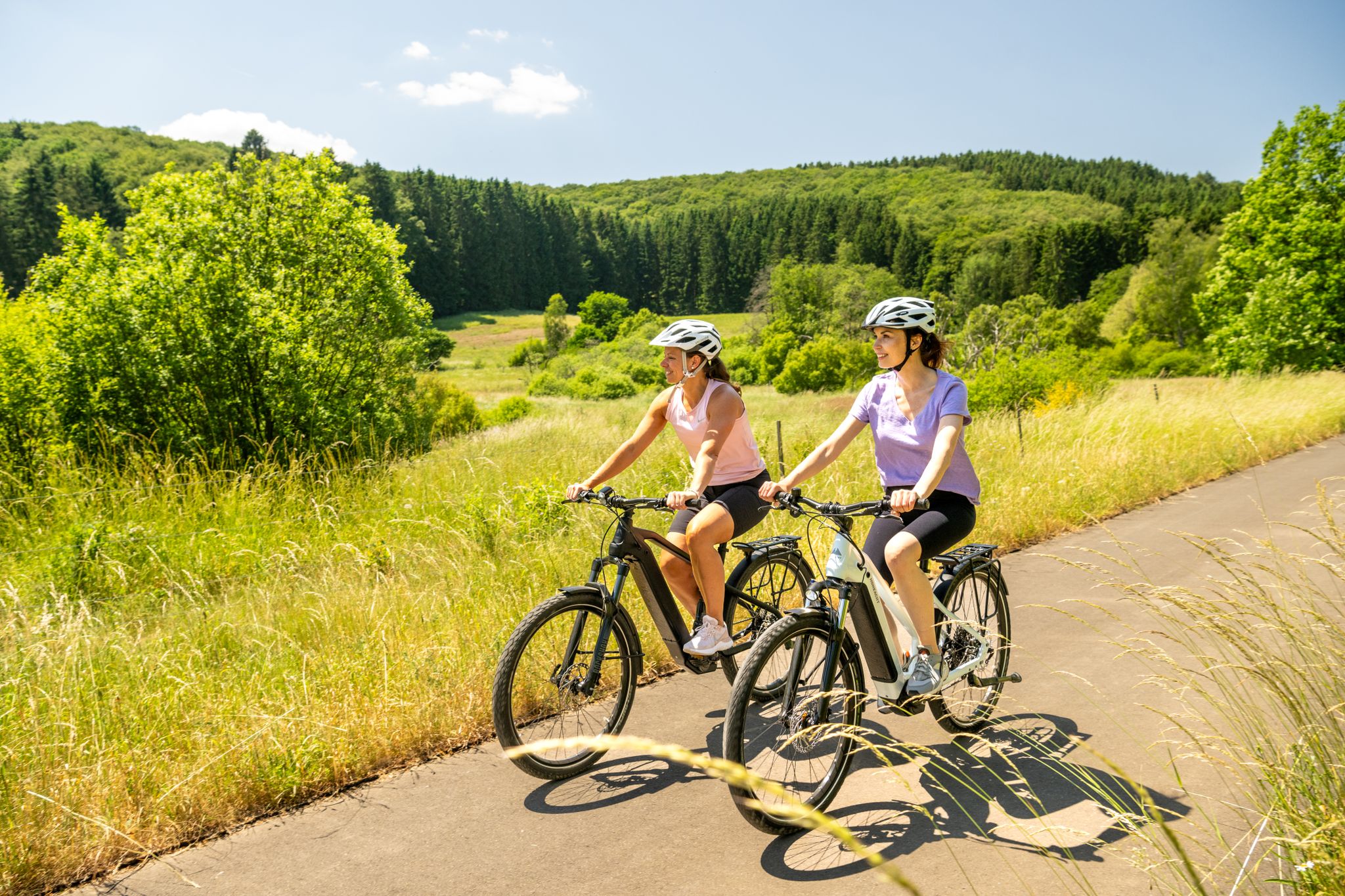
Beyond hiking, the area around Sarmersbach is excellent for various cycling activities. You can explore numerous MTB trails, gravel biking routes, and road cycling routes. For detailed information and routes, check out the komoot guides for MTB Trails around Sarmersbach, Gravel biking around Sarmersbach, and Road Cycling Routes around Sarmersbach.
What is the best time to visit Sarmersbach for hiking and outdoor activities?
The Vulkaneifel region is beautiful year-round, but spring (April-May) and autumn (September-October) are particularly popular for hiking. During these seasons, the weather is generally mild, and the landscapes offer vibrant colors. Summer is also pleasant, though trails can be busier. Winter offers a different charm, but some paths might be challenging due to snow or ice.
What do visitors enjoy most about the elevated areas around Sarmersbach?
Visitors frequently praise the diverse natural settings, including the unique volcanic features and the Maare. The well-maintained paths and the opportunity for active exploration within a distinctive geological setting are highly valued. Many also appreciate the panoramic views from elevated sections of the trails and the combination of natural beauty with historical sites like the Freudenkoppe Castle Ruins.
Are there any specific tips for mountain bikers looking for a challenge near Sarmersbach?
Yes, the paths leading up to the Dronke Tower on the Mäuseberg are described as very beautiful but steep, making them suitable for mountain bikers seeking a challenge. The area around Ernstberg also features beautiful hiking trails through the forest that are popular with mountain bike riders.
Can I find any unique geological formations while exploring the elevated areas?
Absolutely. The volcanic nature of the Vulkaneifel means you'll encounter unique geological formations. For instance, Ernstberg features exciting rock formations that tower out of the forest floor. The Millstone Cave at Nerother Kopf is also a fascinating example of how volcanic rock (lava boards) was utilized historically.
Most popular routes around Sarmersbach
Most popular attractions around Sarmersbach

Get inspired with the komoot mobile app


Explore more
See even more amazing summits around Sarmersbach with these guides:
