The best road cycling routes in Tibacuy
4.7
(10)
365
riders
14
rides
Road cycling in Tibacuy, located in Colombia's mountainous Cundinamarca region, is characterized by challenging terrain and significant elevation changes. The area features continuous ascents and descents, providing an ideal environment for road cyclists seeking demanding routes. While many surfaces are well-paved, some sections may include unpaved segments, adding to the varied riding experience. This topography contributes to a strong cycling culture known for producing skilled climbers.
Best road cycling routes in Tibacuy
- The most popular road cycling route is Alto…
Last updated: October 28, 2026
4.3
(3)
97
riders
81.2km
04:49
2,020m
2,020m
Hard road ride. Very good fitness required. Mostly well-paved surfaces and easy to ride.
5.0
(2)
82
riders
74.5km
04:21
1,790m
1,800m
Hard road ride. Very good fitness required. Mostly well-paved surfaces and easy to ride.

5.0
(1)
30
riders
34.6km
01:56
720m
720m
Moderate road ride. Good fitness required. Mostly well-paved surfaces and easy to ride.
23
riders
31.8km
01:47
620m
620m
Moderate road ride. Good fitness required. Some segments of this route may be unpaved and difficult to ride.
8
riders
18.5km
01:16
460m
470m
Moderate road ride. Good fitness required. Mostly well-paved surfaces and easy to ride.
Get access to more routes and recommendations from other explorers.
Already have an account?
Our route recommendations are based on thousands of hikes, rides, and runs completed by other people on komoot.
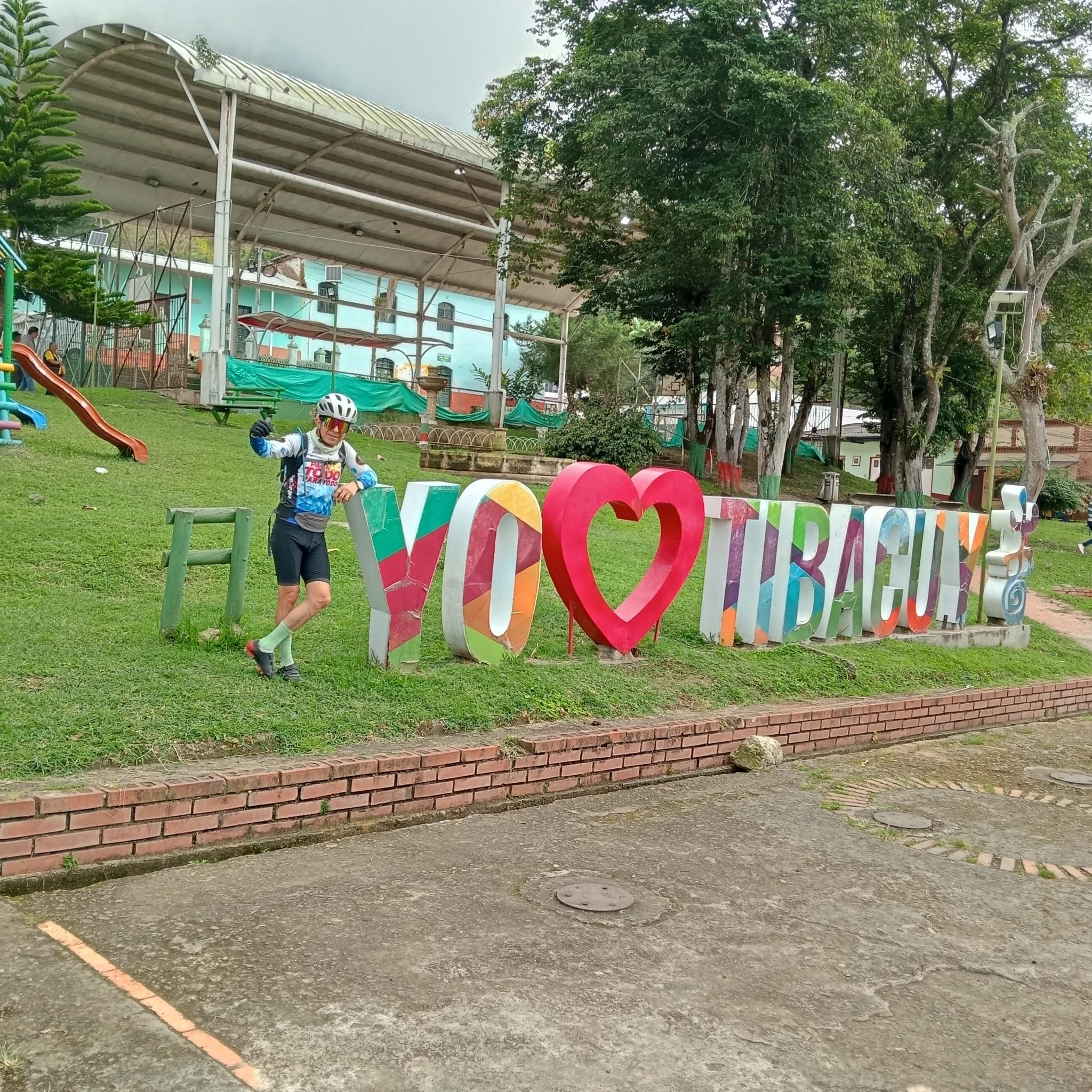
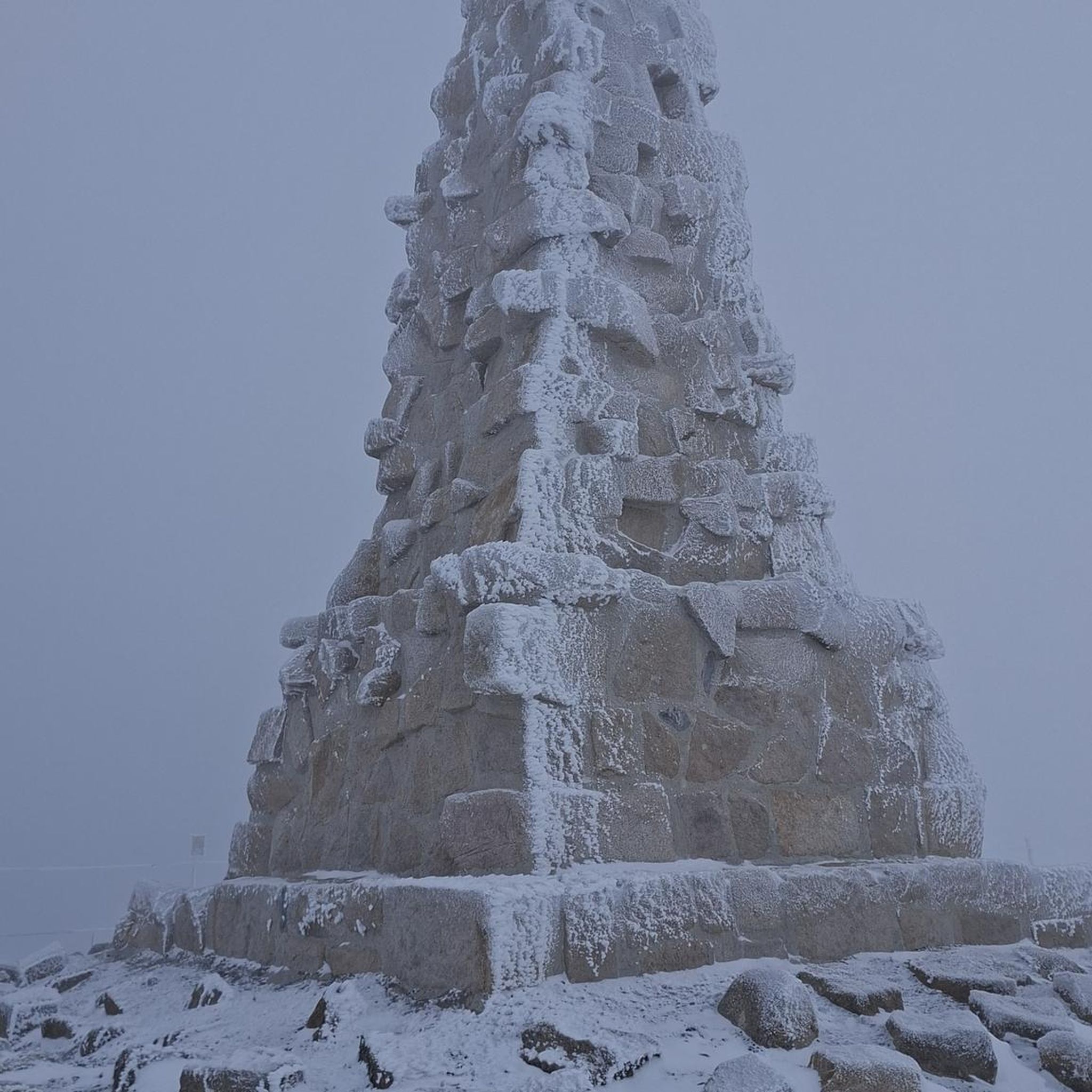
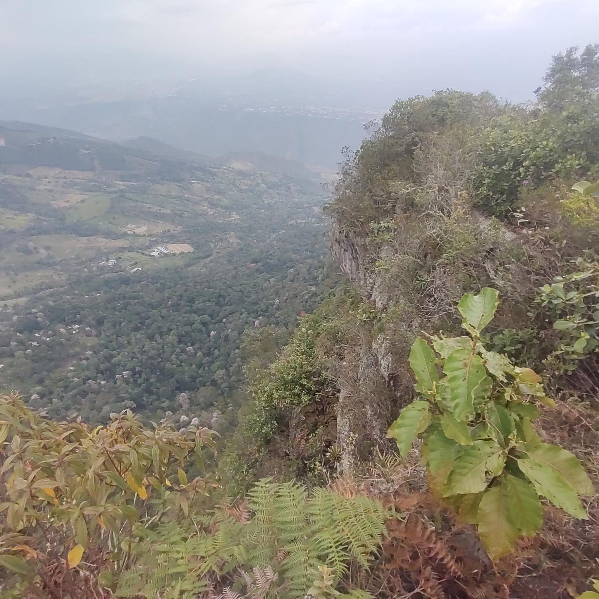

Tips from the Community


Don't forget to bring moisturizer.
0
0

It's a tough route. You need to be in good shape. Those who say it's a walk in the park or an easy climb are the ones who drive cars or ride motorcycles. They sit comfortably, sleep, and don't feel a thing.
0
0

Alto de San Miguel distance from Sibate to the toll 7Km moderate climb. On weekends, the road is very busy so be very careful with vehicles. There are safer alternative routes for making the journey by MTB.
0
0
Weekend very busy no bad early on the morning. To much traffic now a days.
0
0

Beautiful landscapes and delicious desserts
0
0
be careful with the cars now a days is a high busy road.
0
0

It is a good RIDE to go to start shooting and with the family
0
0
Frequently Asked Questions
What is the overall difficulty level of road cycling routes in Tibacuy?
Tibacuy offers a range of road cycling routes, predominantly featuring moderate to difficult terrain. Out of 14 available routes, 7 are classified as moderate and 6 as difficult, with only 1 easy option. This mountainous region is known for its continuous ascents and descents, making it an ideal destination for cyclists seeking a challenge and significant elevation gains.
Are there any beginner-friendly road cycling routes in Tibacuy?
While Tibacuy is largely known for its challenging terrain, there is at least one easy road cycling route available. For those new to the area or seeking a less strenuous ride, it's advisable to check the route profiles on komoot for specific details on distance and elevation gain to find the most suitable option.
What kind of terrain and road conditions can I expect on Tibacuy's road cycling routes?
The terrain in Tibacuy is distinctly mountainous, characterized by consistent uphill and downhill sections. While many routes feature well-paved surfaces, some segments may include unpaved sections, adding to the varied riding experience. This mix contributes to the region's reputation as a challenging training ground for cyclists.
Are there any circular road cycling routes in Tibacuy?
Yes, many of the road cycling routes in Tibacuy are designed as loops. For example, the challenging Alto de San Miguel – Alto de San Miguel loop from Fusagasugá covers 81.4 km with over 2,000 m of elevation gain. Another popular option is the Alto de San Miguel – Alto de San Miguel loop from Alpes, a difficult 74.5 km path with substantial climbing.
What landmarks or points of interest can I see along the road cycling routes in Tibacuy?
Tibacuy's routes offer several interesting landmarks. You can visit the Lucho Herrera Monument, a significant spot for cyclists, which is part of the Lucho Herrera Monument – Fusagasugá loop from Universidad de Cundinamarca. Another unique attraction is the Mono Gourmet & Cyclist Sculpture, featuring diverse sculptures. The prominent Quininí Hill also offers spectacular landscapes.
What do other road cyclists enjoy most about road cycling in Tibacuy?
The road cycling experience in Tibacuy is highly rated by the komoot community, with an average score of 4.6 stars from over 15 reviews. Cyclists frequently praise the challenging mountainous terrain, significant elevation gains, and the rewarding scenic views that characterize the region.
Are there any family-friendly road cycling options in Tibacuy?
Given the predominantly moderate to difficult nature of the routes and the significant elevation changes, Tibacuy's road cycling is generally more suited for experienced cyclists. While there is one easy route, families with younger children or those seeking very flat, easy rides might find options limited. It's best to review individual route profiles for specific details on difficulty and terrain.
What is the best time of year for road cycling in Tibacuy?
The region's mountainous climate means conditions can vary. While specific seasonal recommendations are not provided, it's generally advisable to check local weather patterns before planning your trip. The consistent uphill and downhill sections are present year-round, offering a challenging experience regardless of the season.
Are there cafes or places to stop for refreshments along the road cycling routes?
The region includes charming villages like Arriero de Cumaca and Bateas, which may offer opportunities for refreshments. While specific cafes are not detailed for every route, the presence of towns and a strong cycling culture suggests that stops for hydration and food are generally available, especially in larger towns like Fusagasugá, which serves as a starting point for several loops, including the Casa Fusa – Fusagasugá loop.
What are some of the more challenging road cycling routes in Tibacuy?
For experienced cyclists seeking a significant challenge, the Alto de San Miguel – Alto de San Miguel loop from Fusagasugá stands out, covering 81.4 km with over 2,000 m of elevation gain. Another demanding option is the Fusagasugá loop from Fusagasugá, a 60.7 km route with over 1,500 m of climbing.
Is public transport available to reach the starting points of road cycling routes in Tibacuy?
Tibacuy is located about a two-hour drive from Bogotá. While specific public transport links to every route starting point are not detailed, major towns like Fusagasugá, which is a common starting point for several routes, are generally accessible by regional transport. It is recommended to research local bus services from larger cities for the most up-to-date information on reaching specific trailheads.
Most popular routes in Tibacuy
Most popular attractions in Tibacuy

Get inspired with the komoot mobile app


Explore more
Browse the best Road cycling routes in other regions.
