
The best running trails in Tibacuy
38
runners
5
runs
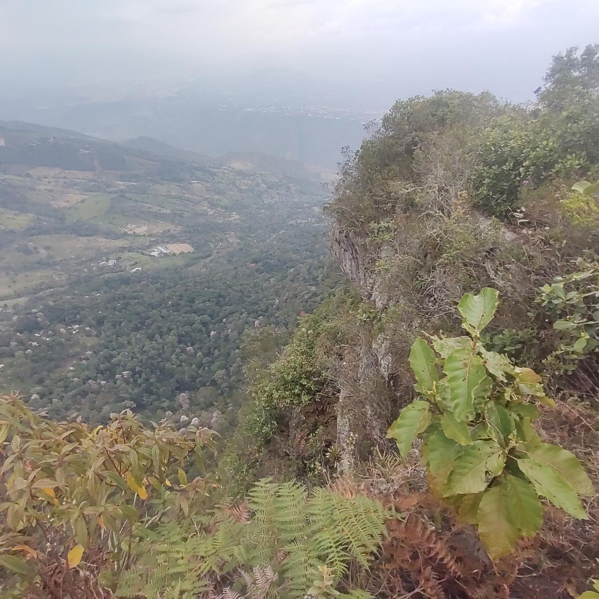
Jogging in Tibacuy offers diverse landscapes, characterized by mountainous regions, humid native forests, and agricultural areas. The municipality features trails and natural attractions like Cerro Quininí, which reaches an elevation of 2,200 meters. Runners can experience varied terrain, from challenging ascents to paths winding through coffee and fruit plantations, providing panoramic views of the Sumapaz River canyon and Magdalena Valley.
Best jogging routes in Tibacuy
- The most popular jogging route is Running loop from Fusagasugá, an 11.8 miles (18.9…
Last updated: September 3, 2026
7
runners
4.60km
00:29
70m
70m
Easy run. Great for any fitness level. Mostly paved surfaces. Suitable for all skill levels.
5
runners
13.3km
01:41
500m
500m
Hard run. Very good fitness required. Mostly accessible paths. Some sure footedness required.
3
runners
4.01km
00:29
110m
110m
Moderate run. Good fitness required. Mostly accessible paths. Some sure footedness required.
Get access to more routes and recommendations from other explorers.
Sign up for free
Already have an account?
Our route recommendations are based on thousands of hikes, rides, and runs completed by other people on komoot.
Start today with a free account
Your next adventure awaits.
Login or Signup
Popular around Tibacuy
Frequently Asked Questions
How many running routes are available in Tibacuy?
Tibacuy offers a selection of 5 dedicated running routes, catering to various preferences and fitness levels. These include easy, moderate, and difficult options to explore the region's diverse landscapes.
What kind of terrain can I expect on Tibacuy's jogging paths?
The running paths in Tibacuy feature diverse terrain, ranging from humid native forests and mountainous regions to scenic coffee and fruit plantations. You can expect varied elevation changes, offering both challenging ascents and more gentle stretches, often with panoramic views of the Sumapaz River canyon and Magdalena Valley.
Are there any circular running routes in Tibacuy?
Yes, all the featured running routes in Tibacuy are designed as loops, allowing you to start and finish at the same point. For example, you can try the Running loop from El Caribe for a moderate experience or the more challenging Running loop from Comuna Sur Oriental.
What are the difficulty levels of running trails in Tibacuy?
Tibacuy's running trails offer a range of difficulty levels. You'll find 1 easy route, 2 moderate routes, and 2 difficult routes. This variety ensures options for beginners looking for a gentle jog, as well as experienced runners seeking a more demanding challenge.
What are some notable landmarks or attractions I might see while running in Tibacuy?
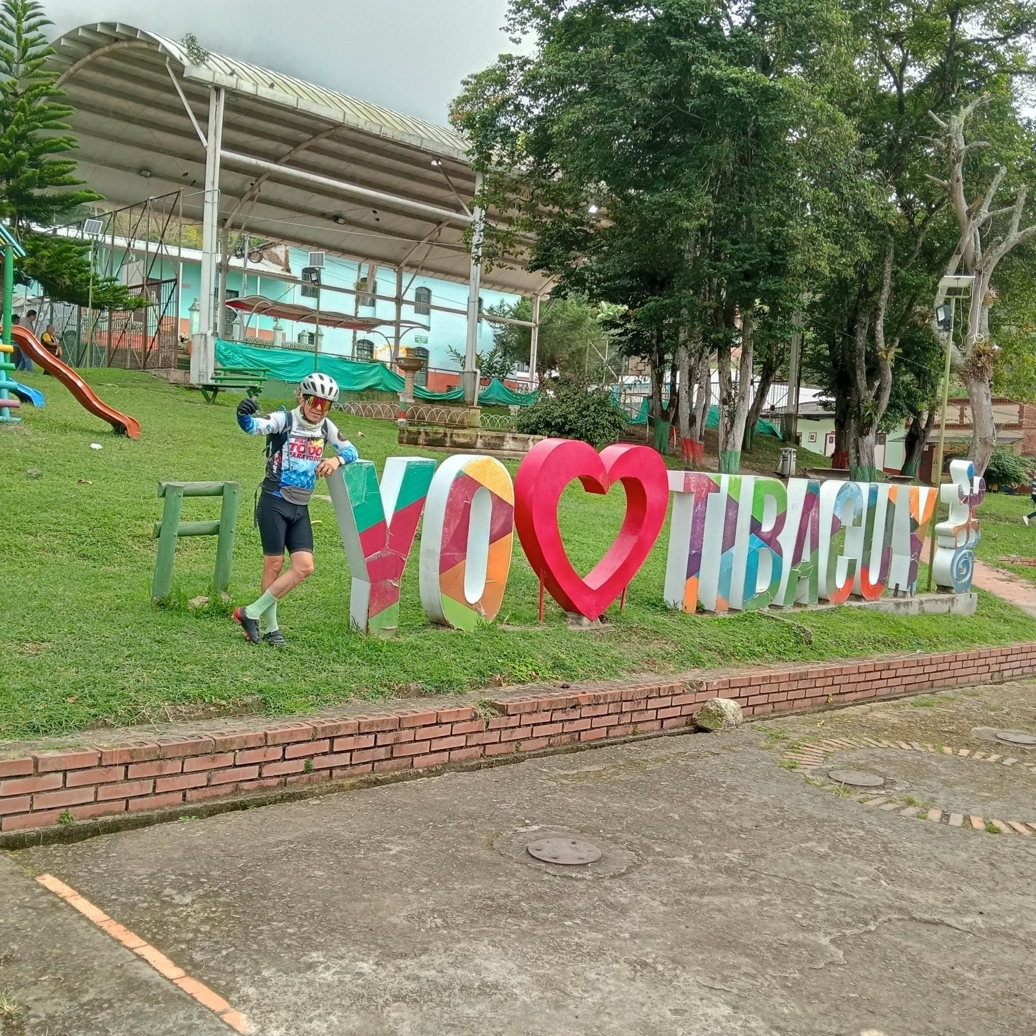
While running in Tibacuy, you might encounter several interesting sights. The iconic Quininí Hill (Cerro Quininí) is a prominent natural feature offering spectacular views. Other points of interest include the Lucho Herrera Monument and the Mono Gourmet & Cyclist Sculpture, which celebrate local culture and sports.
Are there any easy running routes suitable for beginners or a relaxed jog?
Yes, Tibacuy has an easy running route perfect for beginners or those looking for a relaxed jog. The Running loop from San Mateo is a 4.6 km (2.9 miles) trail that leads through varied local scenery and can typically be completed in about 29 minutes.
What is the longest running route available in Tibacuy?
For those seeking a longer challenge, the Running loop from Fusagasugá is the longest route, spanning 18.9 km (11.8 miles). This difficult trail features significant elevation changes through mountainous terrain and typically takes around 2 hours and 5 minutes to complete.
What is the climate like for running in Tibacuy?
Tibacuy generally enjoys a temperate climate, making it pleasant for outdoor activities like running. However, conditions can vary; lower altitudes tend to be warmer, while higher elevations might be cooler or experience more rain. It's always advisable to check the local forecast and dress in adaptable layers.
Are there viewpoints along the running trails in Tibacuy?
Yes, Tibacuy is known as the 'balcón del Sumapaz' (balcony of Sumapaz) due to its numerous viewpoints. Many running routes offer expansive views of the surrounding valleys and mountains, providing motivational breaks with rewarding scenery, especially from higher points like Cerro Quininí.
What do other runners say about jogging in Tibacuy?
More than 30 runners have used komoot to explore Tibacuy's varied terrain. They often praise the region's tranquil environment, diverse landscapes, and the opportunity to run through humid native forests and agricultural areas, enjoying panoramic views away from urban noise.
Is there a moderately challenging running route in Tibacuy?
Absolutely. If you're looking for a moderately challenging run, the Running loop from Universidad de Cundinamarca is a great option. This 4.0 km (2.5 miles) route offers a balanced experience with some elevation changes, typically completed in about 29 minutes.
Most popular routes in Tibacuy
Most popular attractions in Tibacuy

Get inspired with the komoot mobile app


Explore more
Browse the best Running Trails & Routes in other regions.
