The 11 Most Amazing Peaks around Waldlaubersheim
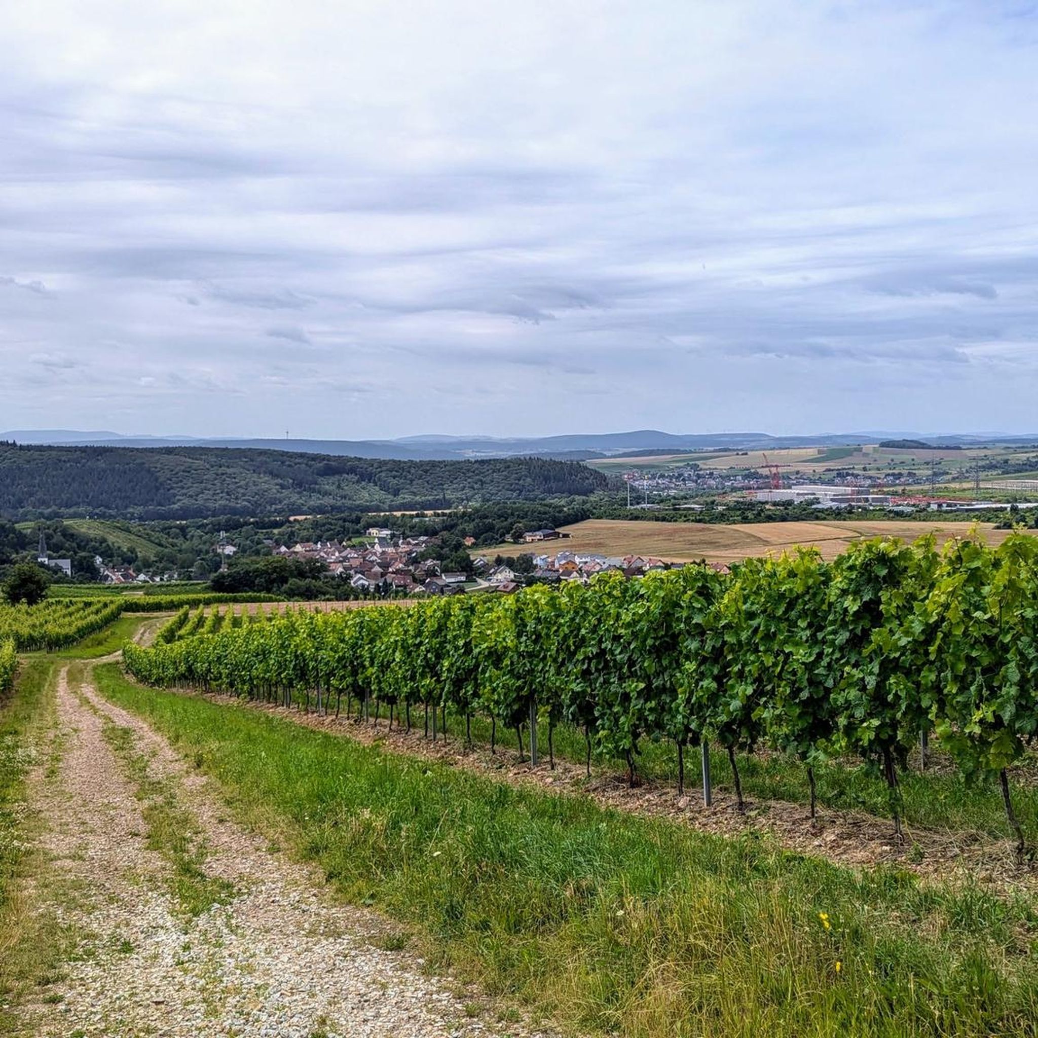
Best mountain peaks around Waldlaubersheim are found in the Hunsrück region of Germany, characterized by rolling hills and elevated areas. Waldlaubersheim itself is approximately 250 meters above sea level. The surrounding landscape offers scenic views and recreational opportunities for those seeking elevated natural experiences. These locations provide opportunities for hiking, nature observation, and panoramic vistas.
Best mountain peaks around Waldlaubersheim
- The most popular mountain peaks is Hochsteinchen lookout tower, a viewpoint that features a steel observation tower built in…
Last updated: July 7, 2026
Salzkopf Tower
Highlight • Viewpoint
Translated by Google •
Tip by

Franzosenkopf
Highlight • Summit
Translated by Google •
Tip by

Sign up now to discover places like this
Get recommendations on the best single tracks, peaks, & plenty of other exciting outdoor places.
Sign up for free
Hochsteinchen lookout tower
Highlight • Viewpoint
Translated by Google •
Tip by
Ohligsberg shelter with views over the Rhine Valley
Highlight • Mountain Hut
The view to the east of the …
Translated by Google •
Tip by
Weissenfels Viewpoint
Highlight • Viewpoint
Translated by Google •
Tip by

Sign up for free to discover even more peaks around Waldlaubersheim.
Sign up for free
Already have an account?
Start today with a free account
Your next adventure awaits.
Login or Signup
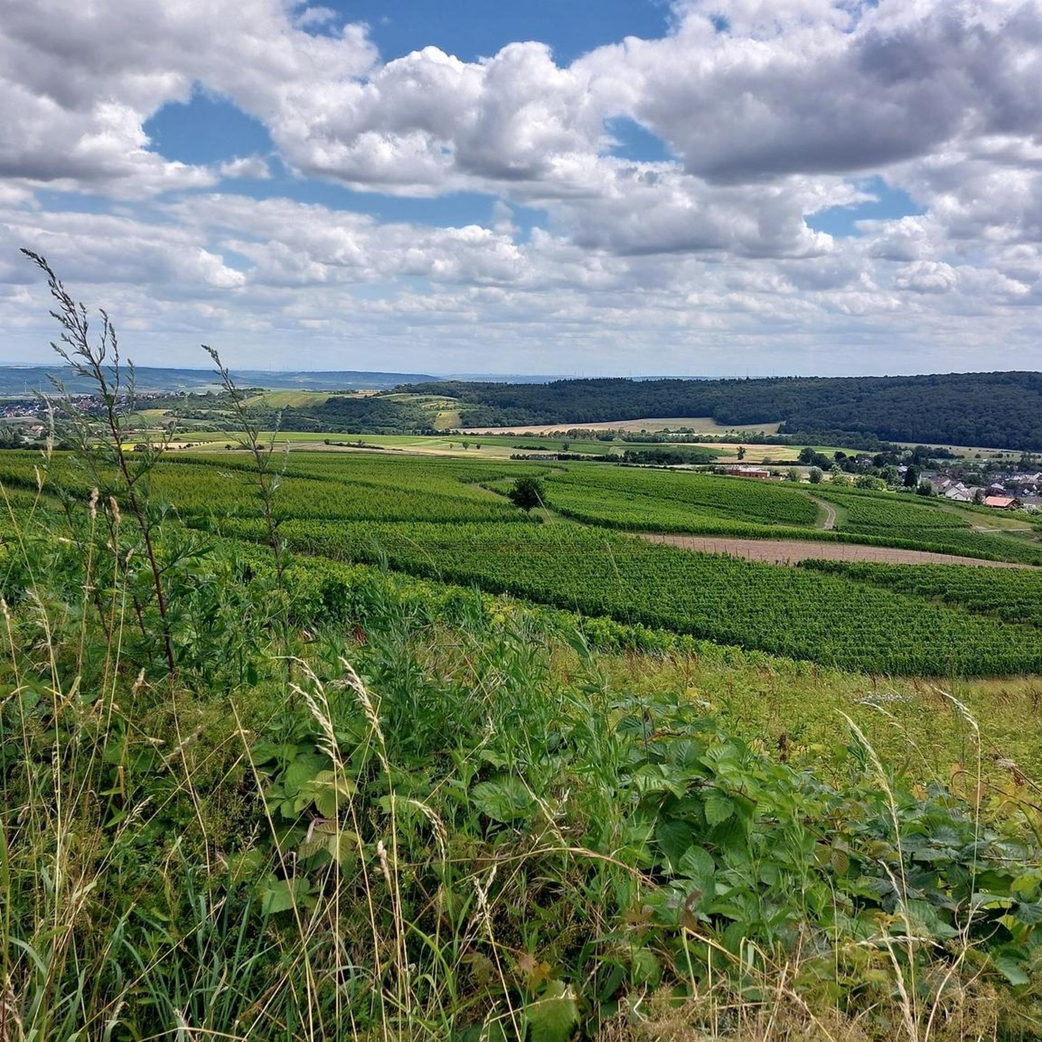
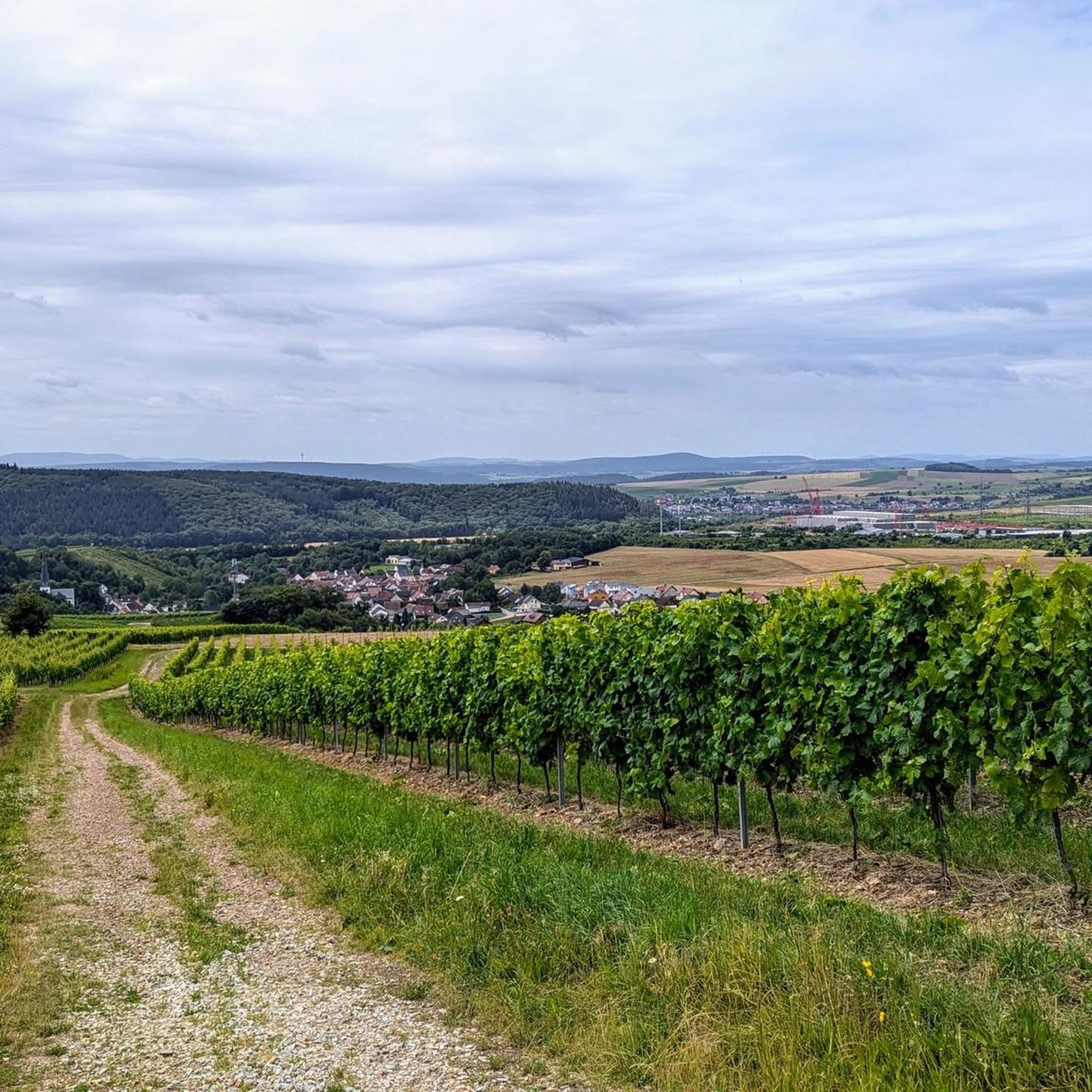
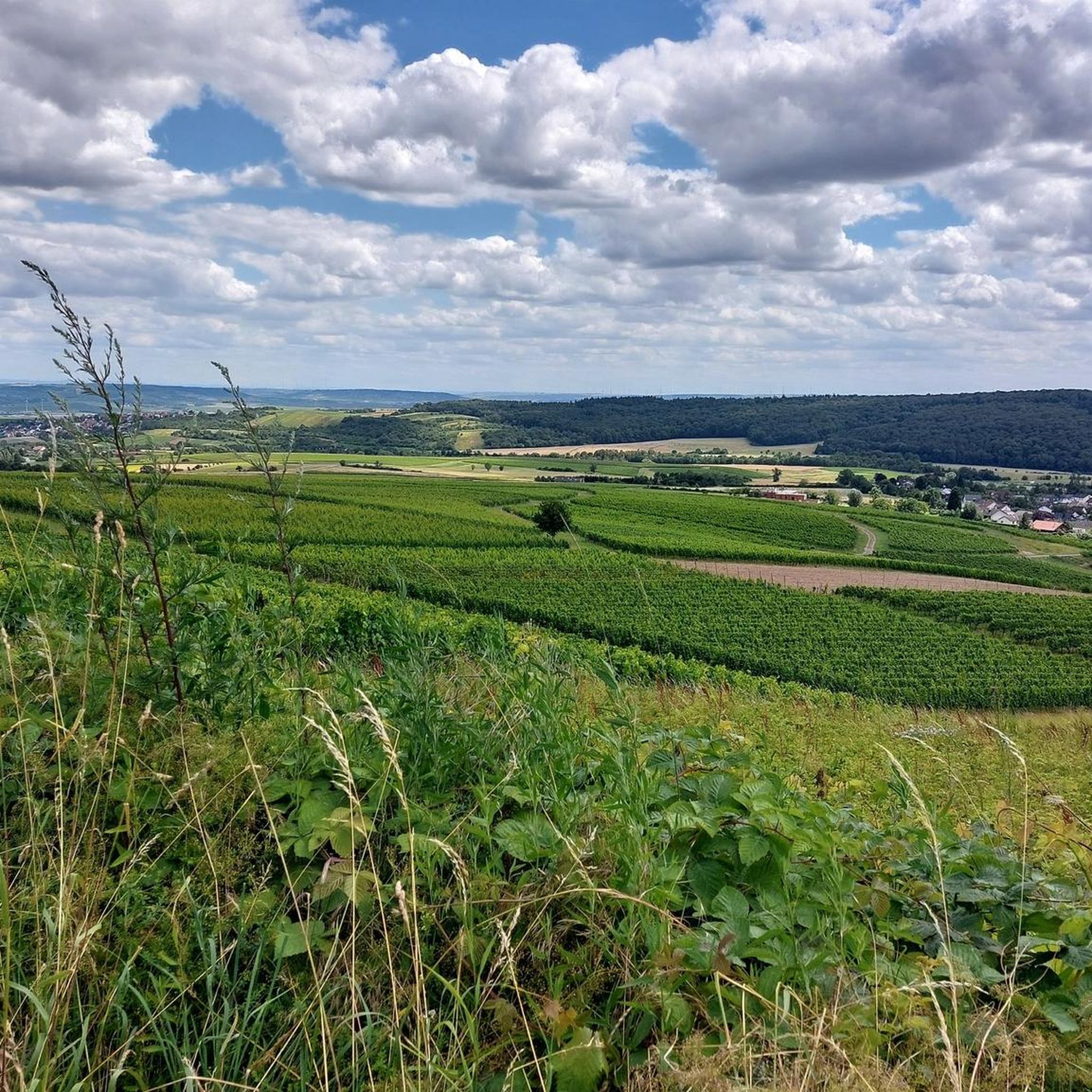
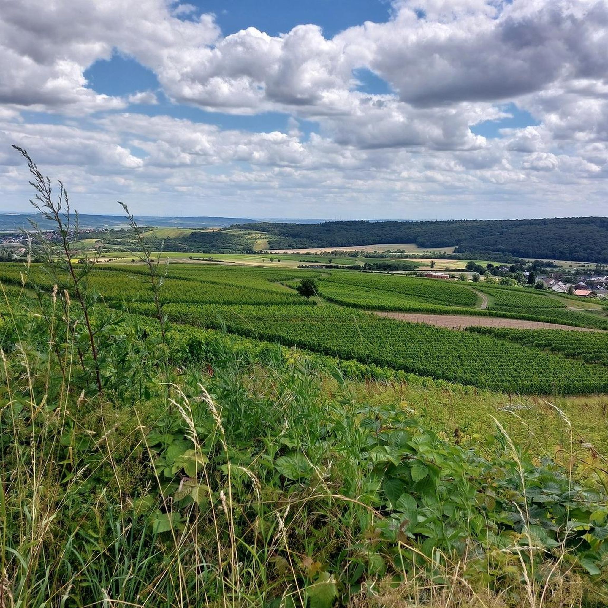

Tips from the Community

When the visibility is good you really have a great view
1
0

When the visibility is good, you can see as far as the Donnersberg. There are even free binoculars installed here!
2
0

As the name suggests, it was the westernmost location of the Franconians in the past. But riding up it on a mountain bike is an experience. 550 meters of elevation gain in one go from Niederheimbach. It's also ideal for runners for a good workout. And also for hikers for the unique views of and across the Rhine.
0
0

beautiful vantage point for a winter hike in the snow
0
0

If the weather is good, great view
2
0


The Donnersberg is usually clearly visible, it is only 40 km away. But the Odenwald (70 km) often has to be guessed in the haze.
1
0
Nice shelter and Rasrplatz outdoor and a great view.
2
0
Frequently Asked Questions
What kind of elevated natural sites can I find around Waldlaubersheim?
The region around Waldlaubersheim, part of the Hunsrück, features rolling hills and elevated areas rather than towering alpine peaks. You'll find scenic viewpoints, nature reserves, and forested elevations offering panoramic vistas and recreational opportunities. Notable sites include the Hochsteinchen lookout tower, the Weissenfels Viewpoint, and the Saukopf und Fichtekopf Nature Reserve.
Are there family-friendly options for experiencing the elevated areas?
Yes, the Weissenfels Viewpoint is categorized as family-friendly, offering a great spot to take a breather and enjoy the peaceful views. Many of the trails in the region are suitable for families, though specific difficulty levels should always be checked for individual routes.
What are some of the best viewpoints for panoramic scenery?
For expansive views, consider the Hochsteinchen lookout tower, which offers views over the Hunsrück, Middle Rhine Valley, and into the Taunus. The Ohligsberg shelter with views over the Rhine Valley also provides an unobstructed and picturesque view to the east of the Binger Forest and the Middle Rhine Valley. Further afield, the Gans viewpoint near Bad Kreuznach (320m altitude) offers magnificent panoramic views over the Salinental and the Nahe Valley.
What outdoor activities can I do near these elevated sites?
The region is excellent for various outdoor activities. You can find numerous routes for mountain biking, road cycling, and gravel biking. For example, there are MTB trails like the 'Celtic Burial Mound with Bench – Mini Flowtrail S1 Lalo Forest loop from Waldlaubersheim' and road cycling routes such as 'Stromburg Castle in Stromberg – Ascent to Seibersbach loop from Waldlaubersheim'. You can explore more options on the dedicated komoot guides for MTB Trails around Waldlaubersheim, Road Cycling Routes around Waldlaubersheim, and Gravel biking around Waldlaubersheim.
Are there any historical or unique natural features to look out for?
Yes, the Gans viewpoint near Bad Kreuznach is notable for its unique geological formations resulting from ancient volcanic activity and the Nahe River. It also supports specific flora and fauna, including plants typically found in Mediterranean climates. The Hochsteinchen lookout tower itself is a historical structure, built in 1893.
What is the highest point in the broader Bad Kreuznach district?
Ellerspring is recognized as the highest point in the broader Bad Kreuznach district. While not an alpine peak, it offers potential for expansive views and challenging hikes within the Hunsrück region.
Can I find any challenging hikes in the area?
While the region is generally characterized by rolling hills, some areas offer more challenging terrain. The Alteburg in the Soonwald, for instance, at around 620 meters, provides a more substantial elevation and is part of a region known for well-developed hiking trails, including sections of the Soonwaldsteig. The Salzkopf Tower is also noted as a challenging highlight.
What do visitors particularly enjoy about the elevated sites around Waldlaubersheim?
Visitors appreciate the peacefulness and the wonderful views. Many enjoy taking a breather at spots like the Weissenfels Viewpoint and the extensive panoramas from lookout towers such as the Hochsteinchen lookout tower. The komoot community has actively shared over 500 photos and given more than 600 upvotes, highlighting the beauty and appeal of these locations.
Is there a place to stay overnight for hikers in the elevated areas?
The Alteburg in the Soonwald features a trekking site, making it a suitable destination for hikers looking for an overnight outdoor experience. This allows for multi-day exploration of the dense forests and trails in the Soonwald region.
Are there any specific nature reserves worth visiting near Waldlaubersheim?
The Saukopf und Fichtekopf Nature Reserve, located just 4 km southeast of Waldlaubersheim, is an important area for conservation. It offers hiking opportunities through natural terrain, allowing visitors to immerse themselves in the local flora and fauna. The Gans viewpoint is also situated within a nature reserve near Bad Kreuznach.
What is the current status of the Salzkopf Tower?
The Salzkopf Tower, which is the highest point in the Bingen Forest and offers a great viewing platform, is currently closed for extensive renovation. It is uncertain when it will reopen.
Can I find any less-known or 'hidden gem' elevated spots?
While not widely publicized as 'hidden gems,' areas like the Saukopf und Fichtekopf Nature Reserve offer a more secluded experience for those looking to immerse themselves in local flora and fauna away from more popular viewpoints. The Franzosenkopf, marked by a stone stele, provides a quiet summit experience with some views of the Middle Rhine Valley and an interesting windthrow area.
Most popular routes around Waldlaubersheim
Most popular attractions around Waldlaubersheim

Get inspired with the komoot mobile app


Explore more
See even more amazing summits around Waldlaubersheim with these guides:
