The best walks and hikes in Yarra Ranges National Park
4.6
(68)
1,028
hikers
17
hikes
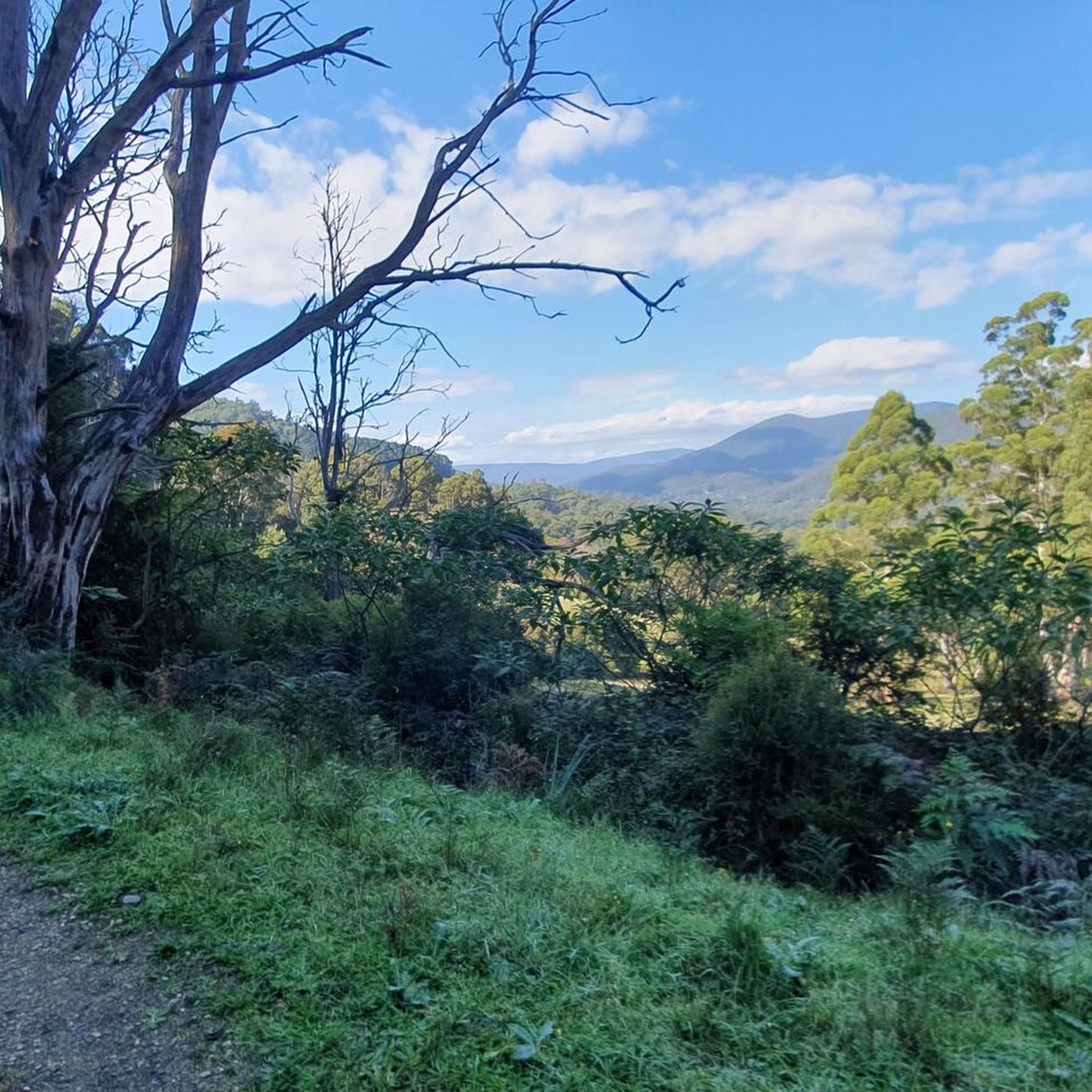
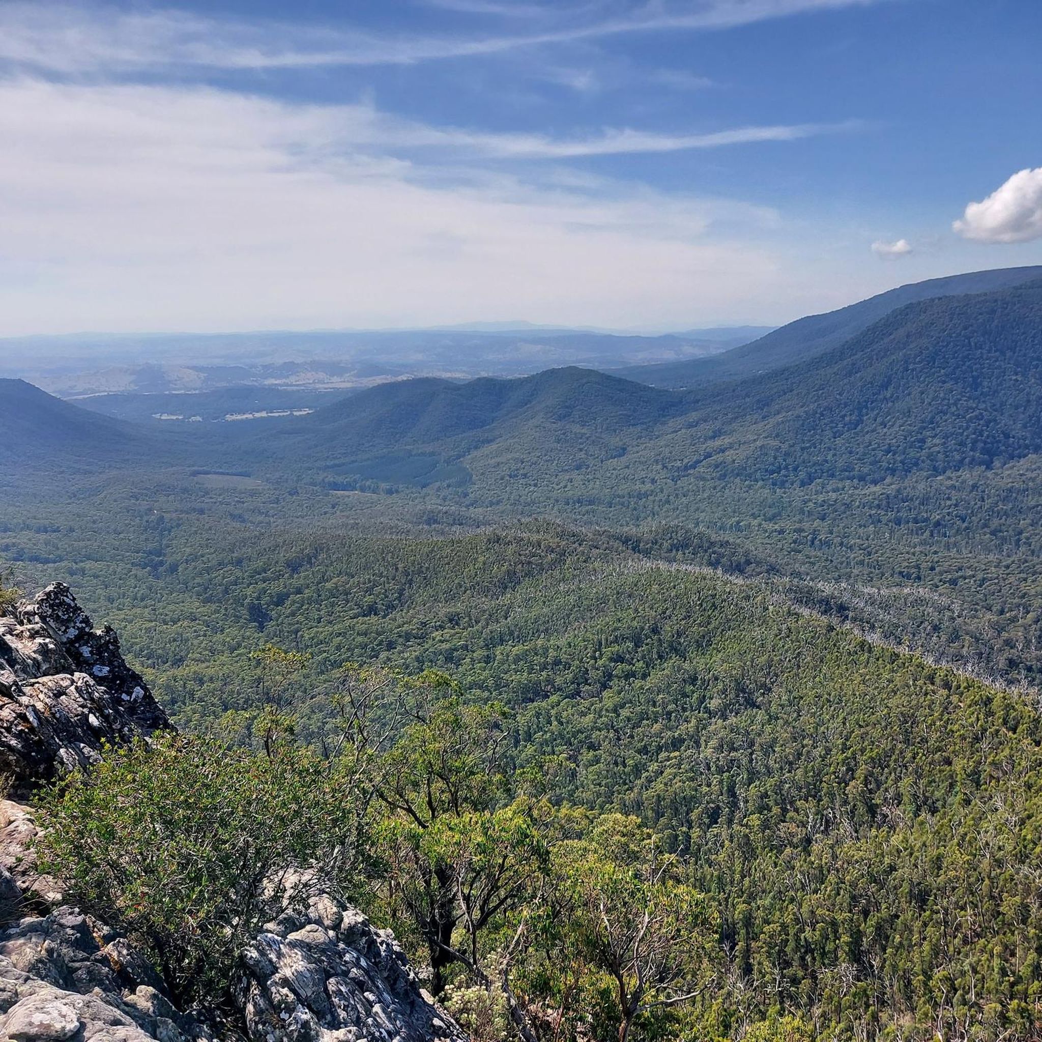
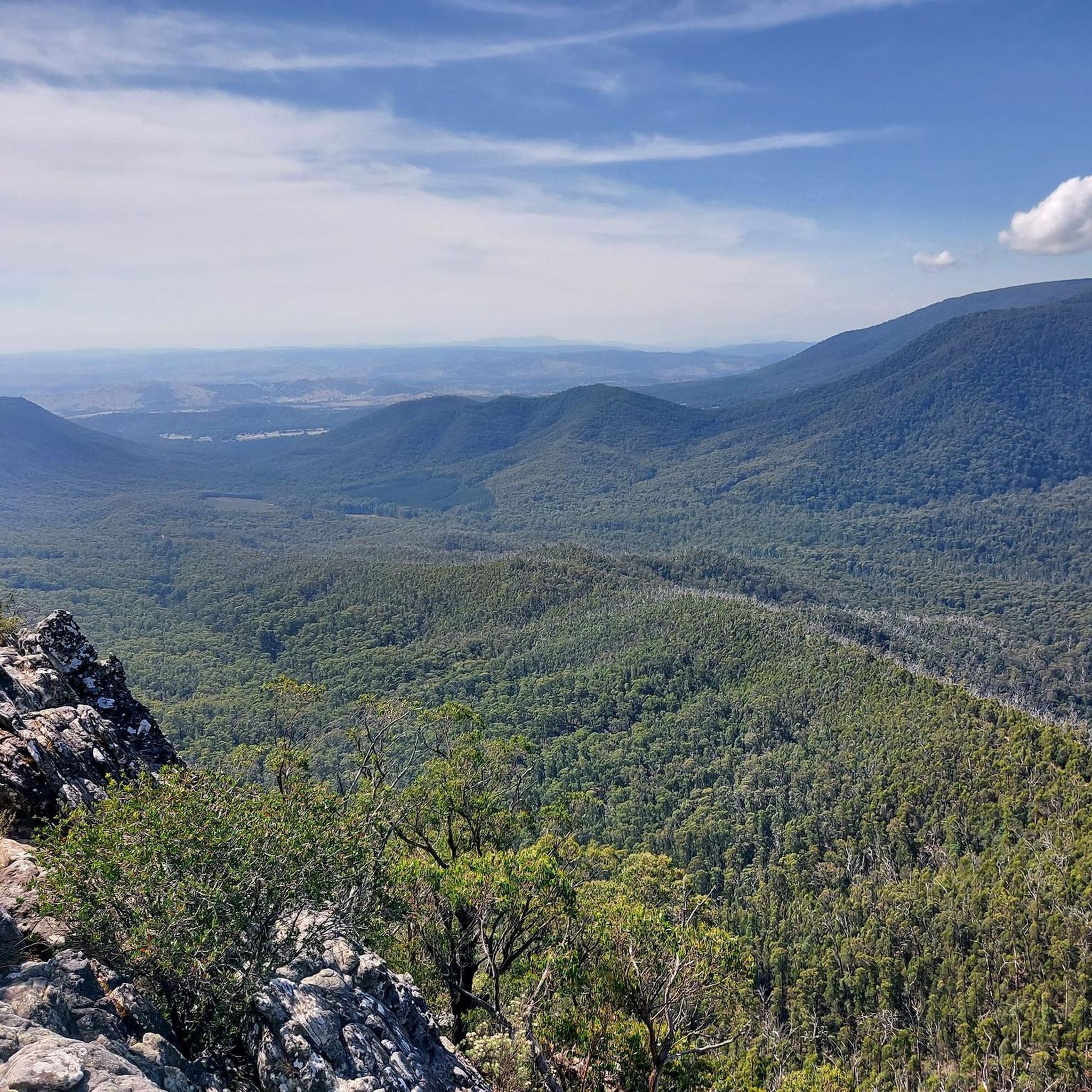
Hiking in Yarra Ranges National Park features a diverse landscape of towering Mountain Ash forests and lush cool temperate rainforests. The park cradles the headwaters of the Yarra River and includes prominent peaks such as Mount Donna Buang, offering panoramic views. Unique natural features include the Californian Redwood Forest, providing varied terrain for hikers. The region is characterized by extensive mountainous areas and clear streams.
Best hiking trails in Yarra Ranges National Park
- The most popular hiking route is View of Yarra Valley – Redwood tree corridors loop from Badger Creek, an 11.3 miles (18.2 km) trail that takes 5 hours to complete. This difficult route leads through the unique Californian Redwood Forest and offers views of the Yarra Valley.
- Another top favourite among local hikers is Mount Victoria loop from Mount Donna Buang, an easy 3.8 miles (6.1 km) path. This trail provides a pleasant walk through the park's natural environment, often completed in about 1 hour 54 minutes.
- Local hikers also love the Redwood Forest loop, a 1.5 miles (2.3 km) trail leading through the unique Californian Redwood Forest, often completed in about 38 minutes.
- Hiking in Yarra Ranges National Park is defined by towering Mountain Ash forests, cool temperate rainforests, and mountain peaks. The network offers options for different ability levels, from easy strolls to challenging day hikes.
- The routes in Yarra Ranges National Park are highly rated by the komoot community with an average score of 4.6 stars from over 50 reviews. More than 900 hikers have used komoot to explore Yarra Ranges National Park's varied terrain.
Last updated: July 24, 2026
5.0
(4)
51
hikers
7.07km
02:03
180m
180m
Moderate hike. Good fitness required. Easily-accessible paths. Suitable for all skill levels.
4.6
(5)
34
hikers
6.08km
01:54
230m
230m
Easy hike. Great for any fitness level. Easily-accessible paths. Suitable for all skill levels.

Sign up for free
4.0
(1)
23
hikers
12.9km
04:11
590m
590m
Moderate hike. Good fitness required. Easily-accessible paths. Suitable for all skill levels.
5.0
(2)
23
hikers
2.81km
00:49
70m
70m
Easy hike. Great for any fitness level. Easily-accessible paths. Suitable for all skill levels.
5.0
(1)
7
hikers
2.34km
00:38
40m
40m
Easy hike. Great for any fitness level. Easily-accessible paths. Suitable for all skill levels.
Get access to more routes and recommendations from other explorers.
Sign up for free
Already have an account?
Our route recommendations are based on thousands of hikes, rides, and runs completed by other people on komoot.
Start today with a free account
Your next adventure awaits.
Login or Signup

Tips from the Community

While Mount Donna Buang draws visitors for its famous lookout, Mount Victoria rewards those seeking a more peaceful walk. Surrounded by Mountain Ash forest and cool temperate vegetation, this lesser-known summit showcases the wild, forested character of the Yarra Ranges, making it an ideal place to slow down and appreciate the park's remarkable alpine environment.
0
0
Mount Victoria Track showcases the quieter side of the Yarra Ranges, leading through towering Mountain Ash forest, pockets of snow gums and lush tree ferns. It's a peaceful contrast to the exposed summit of Mount Donna Buang, offering a chance to slow down and appreciate the cool mountain environment that supports some of Victoria's tallest native trees.
0
0

Mount Donna Buang is one of the easier alpine lookouts to reach near Melbourne. Its name comes from the Woiwurrung word “Donna Buang,” meaning “the body of the mountain.” The summit observation tower rises above the treetops for wide views over the valley and the Yarra Ranges.
1
0

Yarra Ranges National Park protects one of Victoria’s largest areas of cool temperate rainforest, stretching from the Dandenong Ranges to the alpine foothills east of Melbourne. Towering mountain ash, lush fern gullies, cascading waterfalls, and rugged mountain scenery provide habitat for native wildlife, including lyrebirds, wombats, and powerful owls. It’s one of the region's most beautiful areas to explore, whether you’re walking to remote summits, wandering rainforest tracks, or visiting one of its many scenic lookouts.
0
0
Mount Riddell track is a challenging return that is best suited for experienced walkers. The route climbs steadily through mountain ash forest to one of the quieter peaks in Yarra Ranges National Park, following old management roads before narrowing into a steeper bush singletrack, with a sustained climb to the summit. It’s a rewarding trek if you’re in good physical shape, and it makes for a peaceful day in the ranges away from the park’s more popular destinations.
0
0
Mount Riddell is a forested peak in Yarra Ranges National Park, rising to 1009 metres above sea level. Most of the summit itself is enclosed by tall mountain ash forest, but you can catch glimpses of the surrounding ridges through nearby clearings across the Yarra Valley, revealing the park’s rugged landscape. It’s a peaceful bush setting, and the sense of remoteness makes it a rewarding destination after a relatively challenging walk.
0
0
Badger Creek flows through the heart of the Badger Weir picnic area, winding beneath towering Mountain Ash forest and dense fern gullies in one of the wetter parts of the Yarra Ranges. The creek helped shape the surrounding rainforest environment, with clear flowing water, moss-covered rocks, and damp gullies supporting tree ferns and cool temperate forest along its banks.
0
0
Slip Track winds through cool temperate rainforest near Badger Weir, passing towering Mountain Ash, dense fern gullies, and mossy creekside forest beneath a thick canopy. The name comes from the old timber “slip” routes once used to move logged timber down steep slopes in the Yarra Ranges during the early logging era. Today, the track feels far removed from that history, with shaded forest, damp ground, and birdsong dominating the walk through this section of the park.
0
0
Frequently Asked Questions
How many hiking trails are available in Yarra Ranges National Park?
Yarra Ranges National Park offers a wide variety of hiking experiences, with nearly 50 routes available. These range from easy strolls to more challenging day hikes, ensuring options for all skill levels.
Are there any easy, family-friendly walks in Yarra Ranges National Park?
Yes, the park has 14 easy routes perfect for families. For a pleasant walk, consider the Mount Victoria loop from Badger Creek, which is an easy 3.8 miles (6.1 km) path. Another option is the Maroondah Reservoir Lookout loop from Healesville, a shorter 2.3 miles (3.7 km) trail.
What are some notable natural features or landmarks to see while hiking?
The park is renowned for its towering Mountain Ash forests and cool temperate rainforests. You can also discover spectacular waterfalls like Steavenson Falls, Keppel Falls, and Coraline Falls. For panoramic views, head to Mount Donna Buang Observation Tower or Mount St Leonard Summit and Lookout. Don't miss the unique Californian Redwood Forest, which you can experience on routes like the View of Yarra Valley – Redwood tree corridors loop from Badger Creek.
Are there any circular walks in Yarra Ranges National Park?
Yes, many trails in the park are circular. An example is the Maroondah Reservoir Lookout – Henderson's Hill Summit loop from Chum Creek, which is a 3.6 miles (5.7 km) trail through forested areas. Another popular loop is the Maroondah Reservoir Lookout – Henderson's Hill Summit loop from Healesville.
What do other hikers say about the trails in Yarra Ranges National Park?
The trails in Yarra Ranges National Park are highly regarded by the komoot community, with an average rating of 4.7 stars from over 50 reviews. Hikers often praise the diverse landscapes, from the majestic Mountain Ash forests to the serene rainforests, and the well-maintained paths that cater to various fitness levels.
What is the best time of year to hike in Yarra Ranges National Park?
Yarra Ranges National Park offers hiking opportunities year-round. Spring brings vibrant wildflowers, while autumn showcases stunning foliage. Summer is ideal for enjoying the cooler forest trails, and even winter offers unique experiences, with Mount Donna Buang transforming into a ski resort and offering snow play.
Can I see wildlife while hiking in the park?
Yes, Yarra Ranges National Park is a haven for diverse wildlife. Keep an eye out for iconic Australian animals such as kangaroos, koalas, wallabies, wombats, and various bird species. Early mornings or late afternoons are often the best times for wildlife spotting.
Are there any challenging day hikes for experienced hikers?
Absolutely. For those seeking a challenge, the park offers 12 difficult routes. The View of Yarra Valley – Redwood tree corridors loop from Badger Creek is an 11.3 miles (18.1 km) difficult trail that takes approximately 5 hours to complete, offering significant elevation changes and rewarding views.
Where can I find information about parking for trailheads?
Many popular trailheads within Yarra Ranges National Park, such as those near Badger Creek, Healesville, and Chum Creek, offer designated parking areas. Specific parking details are often available on individual route pages on komoot or on the official Parks Victoria website for the Yarra Ranges National Park.
Is public transport available to access hiking trails in Yarra Ranges National Park?
Public transport options to directly access trailheads within the national park can be limited. It is generally recommended to travel by car to reach most starting points. However, some towns bordering the park, like Healesville, are accessible by bus, from which you might arrange local transport or find trails within walking distance of the town.
Are there any trails that feature waterfalls?
Yes, the park is home to several beautiful waterfalls. You can find trails leading to impressive cascades like Steavenson Falls, Keppel Falls, Coraline Falls, Phantom Falls, and Taggerty Cascades. These areas often feature lush rainforest environments, making for a scenic hike.
What kind of trees can I expect to see in Yarra Ranges National Park?
The park is famous for its majestic Mountain Ash trees, which are among the world's tallest flowering trees. You'll also encounter lush cool temperate rainforests with ferns and Myrtle Beech, and a unique, picturesque Californian Redwood Forest, offering a diverse arboreal experience.
Most popular routes in Yarra Ranges National Park
Most popular attractions in Yarra Ranges National Park

Get inspired with the komoot mobile app


Explore more
Browse the best Hikes in other regions.
