The best MTB trails in Aurmoen Landskapsvernområde
4.8
(3)
63
riders
10
rides
Mountain bike trails in Aurmoen Landskapsvernområde traverse a beautiful natural park in Akershus, Norway. The region is characterized by diverse terrain, offering a mix of paths through natural landscapes. Mountain bikers can expect varied trails suitable for different skill levels, with some routes providing scenic viewpoints.
Best mountain bike trails in Aurmoen Landskapsvernområde
- The most popular mountain bike trail is Fugletjernet – Vollnesputten loop from Kopperudmoen, an easy 14.7 miles (23.6 km) trail that takes about 1 hour 53…
Last updated: August 20, 2026
3
riders
32.0km
01:55
250m
250m
Easy mountain bike ride. Great for any fitness level. Suitable for all skill levels.
4
riders
56.1km
03:22
410m
410m
Moderate mountain bike ride. Good fitness required. Suitable for all skill levels.

Sign up for free
7
riders
62.4km
04:42
300m
300m
Moderate mountain bike ride. Good fitness required. Advanced riding skills necessary.
3
riders
63.0km
04:01
720m
720m
Moderate mountain bike ride. Good fitness required. Advanced riding skills necessary.
5.0
(1)
9
riders
Hard mountain bike ride. Very good fitness required. Advanced riding skills necessary.
Get access to more routes and recommendations from other explorers.
Sign up for free
Already have an account?
Our route recommendations are based on thousands of hikes, rides, and runs completed by other people on komoot.
Start today with a free account
Your next adventure awaits.
Login or Signup

Tips from the Community

A 7.5 km forest trail through rolling terrain above Hurdalssjøen, passing old crofter sites, stone ruins and quiet woodland sections. The route combines natural scenery with traces of local history, including viewpoints and remnants of former forest settlements.
0
0
A small beach with a picnic area on the shores of Hurdalssjøen, surrounded by forest and calm waters.
0
0

At the edge of Råholt Woods, you’ll find this barbecue area. It’s the perfect spot to enjoy some quality time together in the nature, just a stone’s throw from the town.
0
0
Tærudåsen is a small hill, 281 metres high, near Råholt. Set in wooded surroundings, it is the perfect place for a walk.
0
0
Råholt is a small town within the municipality of Eidsvoll. Its peaceful atmosphere makes it a delightful place to stroll through its streets, countryside and surrounding woodland. It is served by trains, buses and cycle paths.
0
0

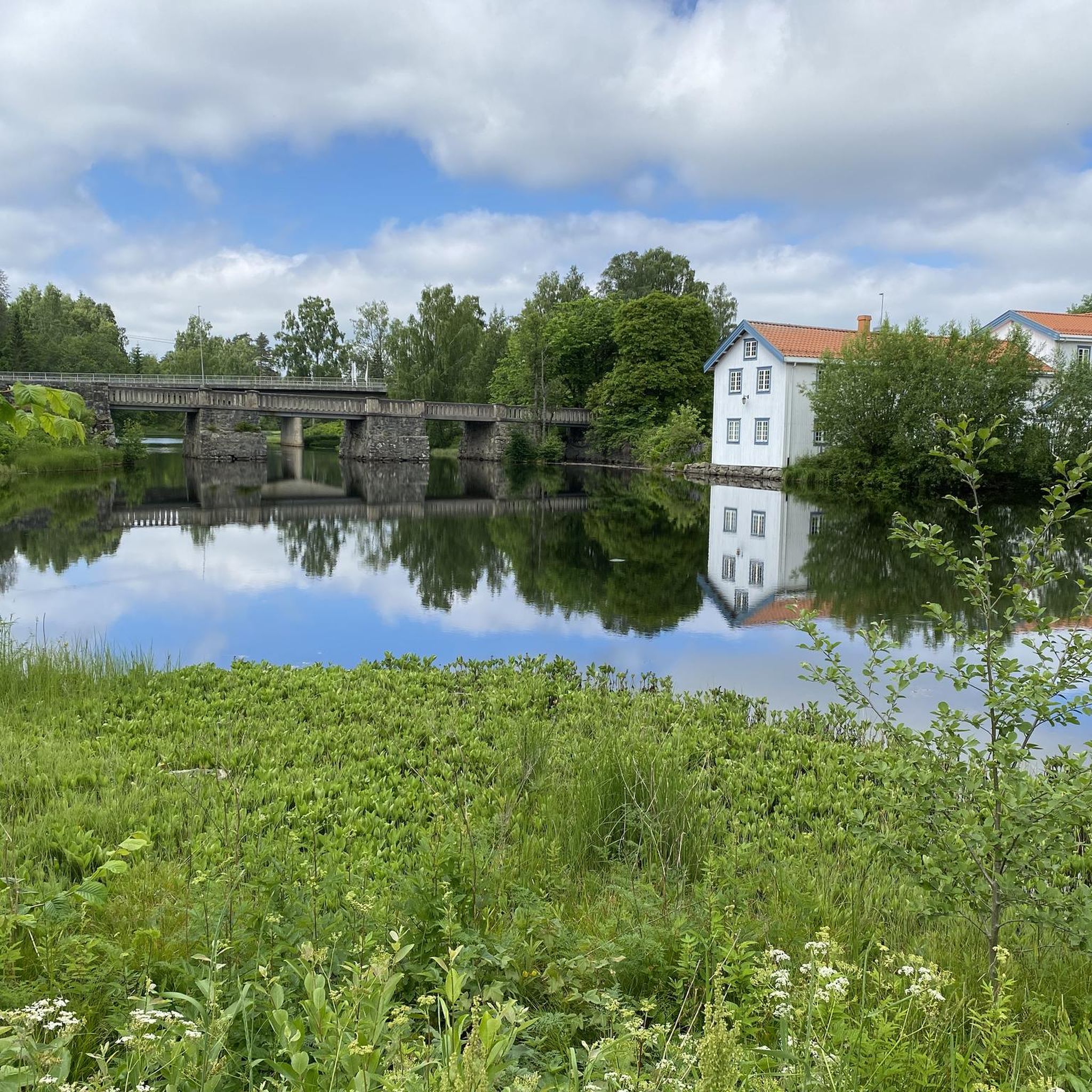
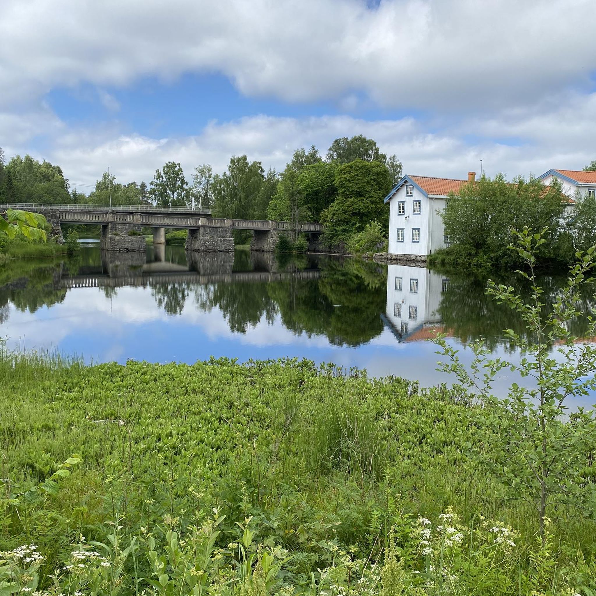
From this location, you can stand close to the lake's shore and admire it from one of its most beautiful angles. Stay calm and watch the birds, especially the swans swimming on the lake.
0
0

The Aurmoen landskapsvernområde is a nature reserve north of Oslo Airport. Here you will find a car park that serves as the starting point for the many paths that criss-cross the area. As it borders a military base, you should check in advance whether any exercises are taking place. You can find the barracks' telephone number here: https://www.forsvaret.no/om-forsvaret/tjenestesteder/sessvollmoen.
0
0
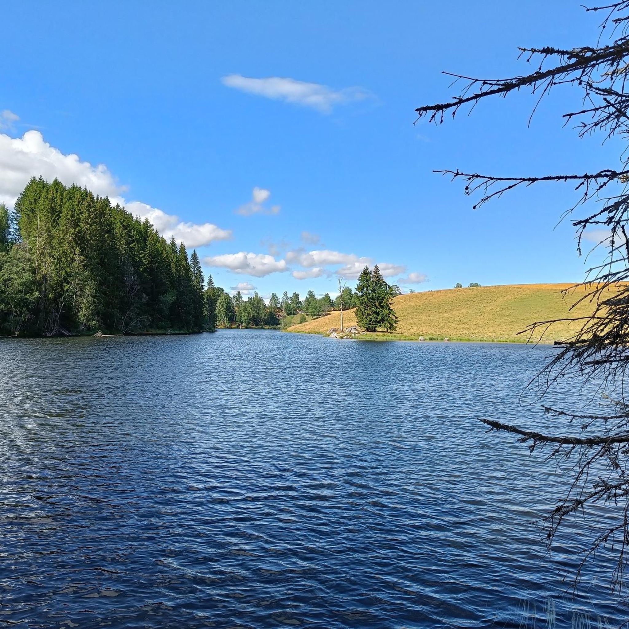
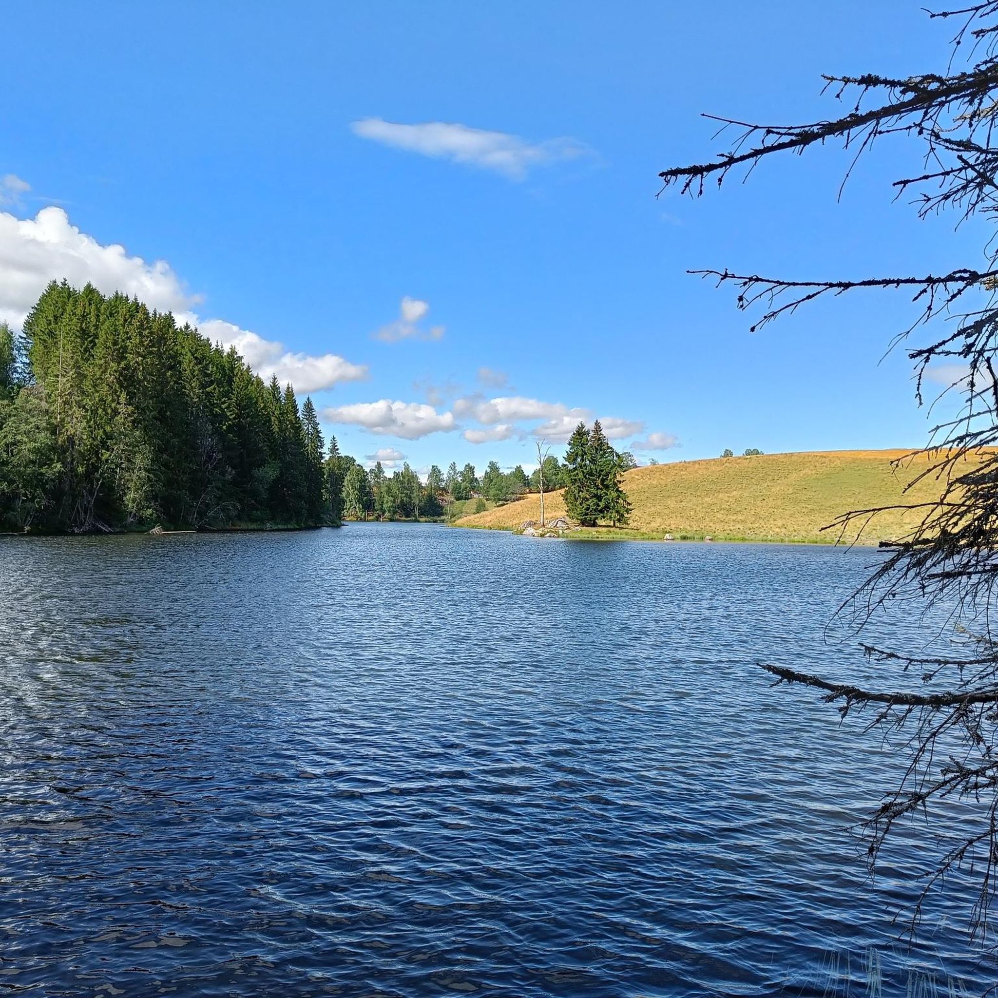
The Aurmoen Landscape Conservation Area north of Oslo Airport is part of a larger network of protected areas in this region. It serves to protect various bird species. The ground is often sandy, which makes for soft but somewhat difficult going!
0
0
Frequently Asked Questions
How many mountain bike trails are available in Aurmoen Landskapsvernområde?
Aurmoen Landskapsvernområde offers a selection of 16 mountain bike trails. These routes cater to various skill levels, from easy paths to more challenging rides.
What are the difficulty levels of the mountain bike trails in Aurmoen Landskapsvernområde?
The trails in Aurmoen Landskapsvernområde are diverse, with 3 easy routes, 12 moderate routes, and 1 difficult route. This variety ensures options for beginners, intermediate riders, and those seeking a more challenging experience.
Are there any family-friendly mountain bike trails in Aurmoen Landskapsvernområde?
Yes, there are several easy routes suitable for families. For instance, the Fugletjernet – Vollnesputten loop from Kopperudmoen is an easy 23.6 km trail that offers a pleasant ride through natural surroundings, ideal for a family outing.
Can I bring my dog on the mountain bike trails?
While the guide data does not specify dog-friendly policies for each trail, Aurmoen Landskapsvernområde is a natural park. It is generally advisable to keep dogs on a leash and check local regulations or specific trail rules before heading out to ensure a safe and enjoyable experience for everyone.
Are there any circular mountain bike routes available?
Yes, many of the trails in Aurmoen Landskapsvernområde are designed as loops. Examples include the Nesfossen loop from Østli, an easy 31.6 km path, and the Ladderudåsen – Cycling Route Sign to Jessheim loop from Eidsvoll verk, a moderate 52.5 km route.
What is the best time of year to go mountain biking in Aurmoen Landskapsvernområde?
The best time for mountain biking in Aurmoen Landskapsvernområde is typically during the warmer months, from late spring to early autumn. This period offers more stable weather conditions and clear trails, allowing for optimal enjoyment of the natural park's diverse terrain.
Are there any scenic viewpoints along the mountain bike trails?
Yes, the region research indicates that scenic viewpoints are available within the area, with one specific natural feature mentioned as "Utsikten (Fjuk)". Many routes offer picturesque views of the beautiful natural park in Akershus.
What do other mountain bikers say about the trails in Aurmoen Landskapsvernområde?
The routes in Aurmoen Landskapsvernområde are highly rated by the komoot community, with an average score of 4.0 stars from 3 reviews. Nearly 100 mountain bikers have used komoot to explore the varied terrain, often praising the natural park setting and diverse trails.
Are there any longer mountain bike routes for experienced riders?
For experienced riders looking for a longer challenge, the Sandy forest trails – Nordbytjern Lake loop from Holkebylia is a moderate 62.4 km route. It features a significant elevation gain and takes approximately 4 hours 42 minutes to complete, offering an extensive ride through varied landscapes.
Are there options for mountain bikers seeking a moderate challenge?
Yes, the majority of trails (12 out of 16) are rated as moderate. An example is the Venjarfossen loop from Eidsvoll verk, a 57.7 km trail that leads through varied landscapes and can be completed in about 3 hours 29 minutes, providing a good workout.
Is there parking available near the trailheads?
While specific parking locations are not detailed in the guide data, routes often start from locations like Kopperudmoen, Østli, and Eidsvoll verk, suggesting that parking facilities are typically available nearby. It's recommended to check the individual route details on komoot for precise starting points and potential parking information.
Are there any cafes or places to eat near the mountain biking trails?
The region research mentions the "Eidsvollbygningen Café – Eidsvoll Manor House loop" as an accessible route nearby. This suggests that cultural points of interest, including cafes, can be found in the vicinity, particularly around Eidsvoll verk, which is a starting point for some trails.
Most popular routes in Aurmoen Landskapsvernområde

Get inspired with the komoot mobile app


Explore more
Browse the best MTB trails in other regions.
