The best cycling routes in Aurmoen Landskapsvernområde
4.6
(17)
240
riders
43
rides
Touring cycling in Aurmoen Landskapsvernområde offers routes through a landscape characterized by distinctive geological features. The terrain is generally flat to gently undulating, featuring kettle holes, dead-ice pits, and drift sand dunes. This area is primarily forested, with some marshy sections and several lakes, providing a varied backdrop for cycling. Ice-contact slopes and meltwater channels further illustrate the region's glacial history.
Best touring cycling routes in Aurmoen Landskapsvernområde
- The most popular touring cycling route is Ringhaugene loop from Eidsvoll verk…
Last updated: July 10, 2026
3
riders
17.7km
01:02
60m
60m
Easy bike ride. Great for any fitness level. Mostly paved surfaces. Suitable for all skill levels.
5
riders
38.2km
02:24
310m
310m
Moderate bike ride. Good fitness required. Mostly paved surfaces. Suitable for all skill levels.

Sign up for free
6
riders
27.7km
01:49
220m
220m
Moderate bike ride. Good fitness required. Mostly paved surfaces. Suitable for all skill levels.
3
riders
45.3km
02:48
230m
230m
Moderate bike ride. Good fitness required. Mostly paved surfaces. Suitable for all skill levels.
3
riders
18.2km
01:07
60m
60m
Easy bike ride. Great for any fitness level. Mostly paved surfaces. Suitable for all skill levels.
Get access to more routes and recommendations from other explorers.
Sign up for free
Already have an account?
Our route recommendations are based on thousands of hikes, rides, and runs completed by other people on komoot.
Start today with a free account
Your next adventure awaits.
Login or Signup

Tips from the Community

Råholt is a small town within the municipality of Eidsvoll. Its peaceful atmosphere makes it a delightful place to stroll through its streets, countryside and surrounding woodland. It is served by trains, buses and cycle paths.
0
0

The lake has several pontoons scattered along this shore. This one also has a small raised diving platform. In winter, holes are even cut in the ice for swimming, and you can climb down directly from the ladder. Provided you have the courage!
0
0

Consider stopping at Lien Hoa Dao Trang Buddhist Temple, the serene Lotus Temple serving the Vietnamese Buddhist community. Guided visits are often available – just contact the temple ahead for availability and schedules. Visitors are asked to dress modestly, arrive a few minutes early, remove shoes before entering, and observe quiet respect while inside.
0
0

From this vantage point on the Vorma river, you have a splendid view of lake Mjøsa and two bridges, one for vehicles and the other for railways. Here, you can cross the river safely thanks to a cycle path.
0
0

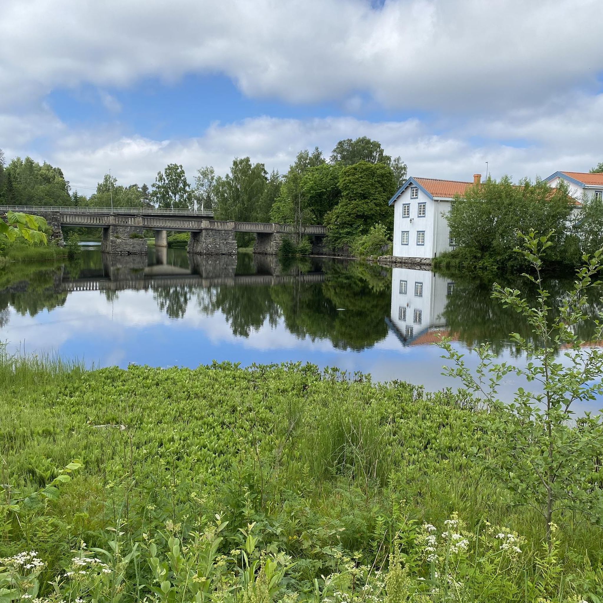
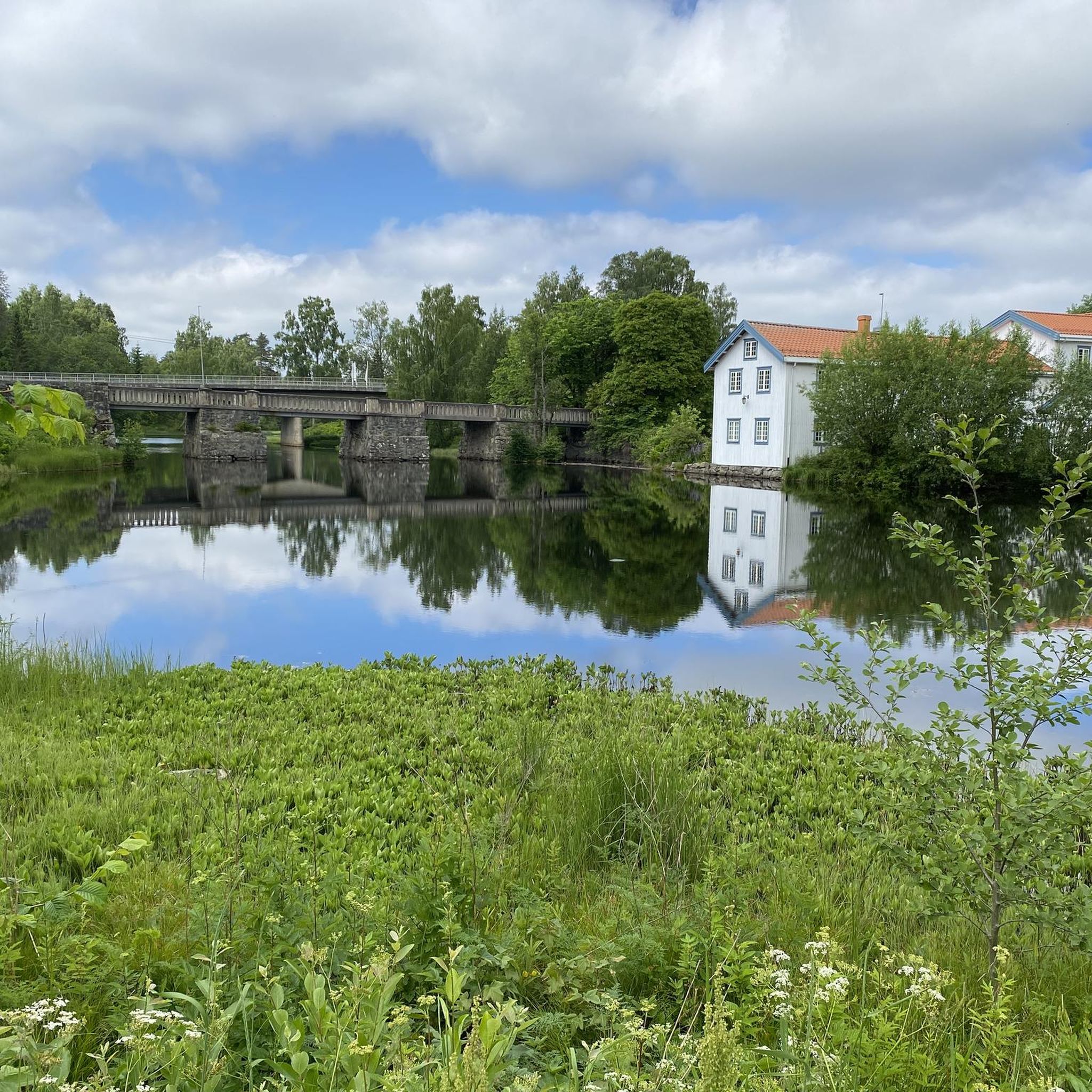
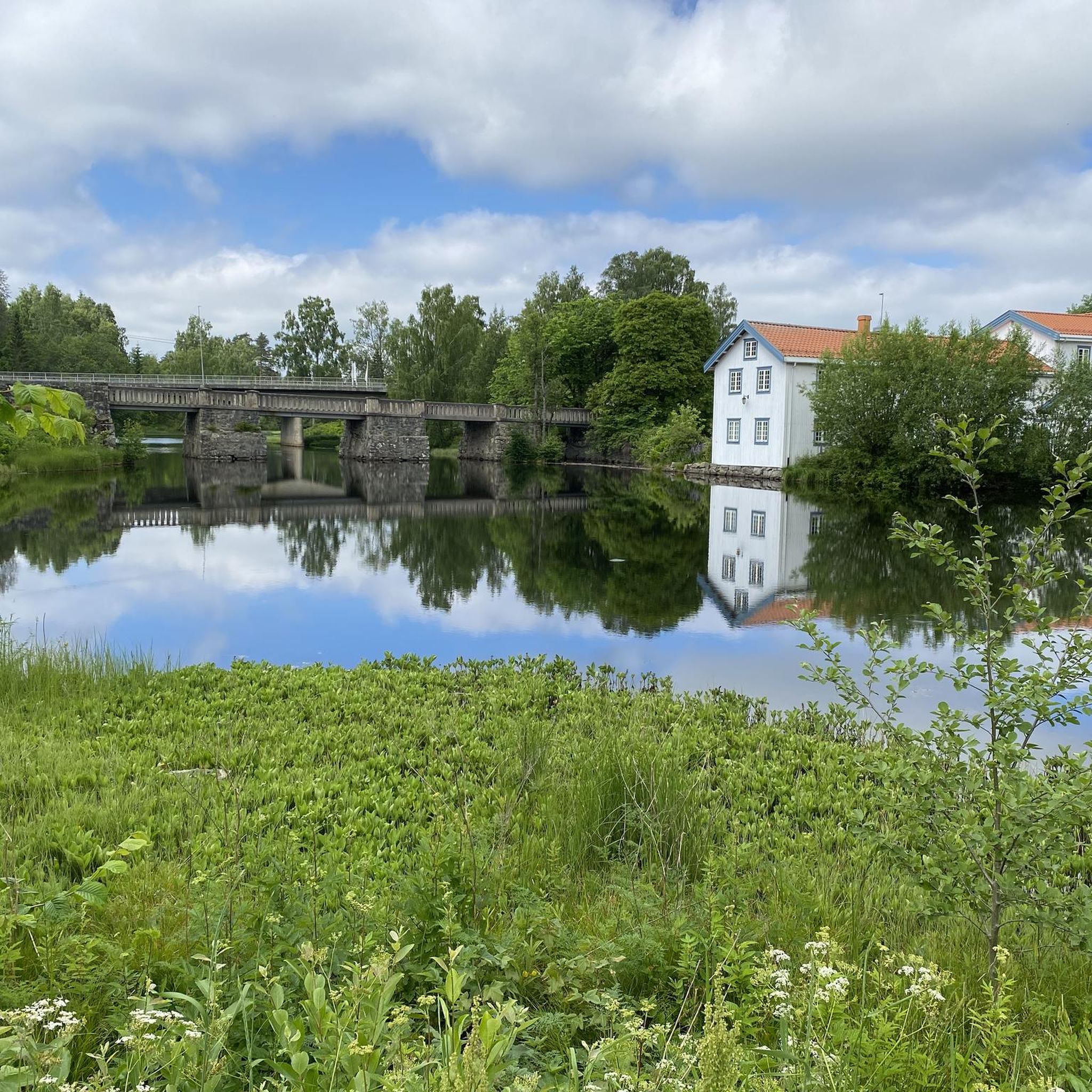
Risebru is a pilgrim hostel located where the Trondhjemske kongeveien crosses the Risa river over an old stone bridge. A farm at this point is described in sources as early as 1594. The stone bridge over the river dates from 1827. The pilgrims' hostel is housed in a building from the beginning of the 19th century which used to house a shoemaker's workshop. Source: https://pilegrimsleden.no/interestpointer/risebru-pilegrimsherberge
1
0

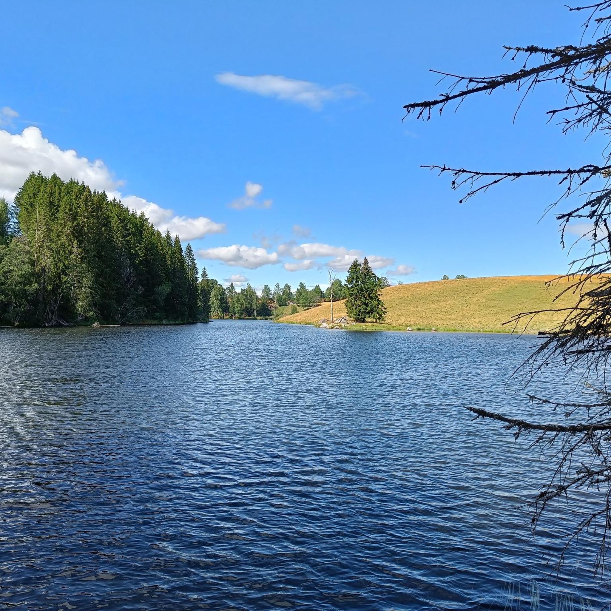
Nordbytjernet is an easy hike for both walking and cycle. Beautiful surroundings and many benches if you need a little rest. Birdlife😍
2
0


Beautiful church. Great stop with little extras for pilgrims
0
0
Frequently Asked Questions
How many touring cycling routes are available in Aurmoen Landskapsvernområde?
There are over 50 touring cycling routes available in Aurmoen Landskapsvernområde. These routes cater to various skill levels, with 18 easy, 22 moderate, and 11 difficult options.
What do other cyclists say about the touring routes in Aurmoen Landskapsvernområde?
The touring cycling routes in Aurmoen Landskapsvernområde are highly rated by the komoot community, with an average score of 4.7 stars from over 16 reviews. More than 250 touring cyclists have explored the area, often praising its unique geological features and varied terrain.
Are there easy touring cycling routes suitable for beginners or families?
Yes, Aurmoen Landskapsvernområde offers 18 easy touring cycling routes, many of which are suitable for beginners and families. An excellent option is the Ringhaugene loop from Aurmoen landskapsvernområde, an easy 10.9-mile (17.5 km) trail that navigates through the protected landscape area.
Are there longer or more challenging touring cycling routes in the area?
Yes, for those seeking a longer ride, there are 22 moderate and 11 difficult touring cycling routes. A popular moderate option is the Bjørke Church – Stensetåsen loop from Aurmoen landskapsvernområde, a 25.3-mile (40.7 km) path traversing varied terrain, including forested sections and open areas.
What unique natural features can I expect to see while cycling in Aurmoen Landskapsvernområde?
Aurmoen Landskapsvernområde is renowned for its distinctive geological features. Cyclists can observe fascinating landforms such as kettle holes (depressions formed by melting ice blocks), dead-ice pits, and large drift sand dunes. Key examples include Aurtjern, a natural blue-green algae kettle lake, and Fugletjern. You'll also encounter ice-contact slopes and meltwater channels, all testaments to the area's glacial history.
Can I spot any wildlife while cycling in Aurmoen Landskapsvernområde?
Yes, Aurmoen Landskapsvernområde is an important winter grazing ground for moose, so you might spot them, especially during colder months. The area is also a habitat for various bird species, including the ortolan and red-backed shrike, making it interesting for birdwatching enthusiasts.
What are the regulations for cycling in Aurmoen Landskapsvernområde?
As a protected landscape area, specific regulations apply. While the general 'allemannsretten' (right to roam) is in effect, cycling is typically restricted to existing roads and may be prohibited on certain trails or in designated nature reserves. Electric bicycles are generally considered motorized vehicles and are usually not permitted in such protected zones. It's advisable to plan your route carefully, focusing on public roads that traverse or border the landscape area.
What is the best time of year for touring cycling in Aurmoen Landskapsvernområde?
The best time for touring cycling in Aurmoen Landskapsvernområde is generally from spring through autumn when the weather is mild and the paths are clear of snow and ice. The forested areas offer pleasant shade in summer, while spring and autumn provide beautiful seasonal colors. Winter cycling might be possible on cleared roads, but conditions can be challenging.
Are there any circular touring cycling routes in the area?
Yes, many of the touring cycling routes in Aurmoen Landskapsvernområde are designed as loops, allowing you to start and end at the same point. For example, the Nordnytjernet Lake loop from Eidsvoll verk is a 25.1-mile (40.4 km) trail leading through forested landscapes.
How can I get to Aurmoen Landskapsvernområde using public transport?
Aurmoen Landskapsvernområde is located north of Oslo Airport, Gardermoen, and has good accessibility from existing roads. While specific public transport routes directly into the protected area might be limited, you can typically reach nearby towns like Eidsvoll verk via regional trains or buses, and then cycle from there. For instance, the Eidsvollbygningen Café loop from Eidsvoll verk starts from a well-known local point.
Is parking available for cyclists visiting Aurmoen Landskapsvernområde?
Given its accessibility from existing roads, parking is generally available in areas bordering or near the protected landscape, particularly in or around starting points for popular routes in nearby towns or villages. Always check local signage for specific parking regulations and designated areas.
Are there any cafes or places to stop for refreshments along the routes?
While the protected landscape itself is primarily natural, routes often pass through or near small communities where you can find cafes or shops for refreshments. For example, the Eidsvollbygningen Café loop from Eidsvoll verk suggests a route that includes a cafe, indicating that such amenities are accessible on some tours.
Most popular routes in Aurmoen Landskapsvernområde

Get inspired with the komoot mobile app


Explore more
Browse the best Cycling routes in other regions.
