The best road cycling routes in Langvassbrenna Naturreservat
4.3
(3)
39
riders
7
rides
Road cycling in Langvassbrenna Naturreservat and its surrounding areas offers routes through a landscape characterized by old-growth forests and varied elevations, with the highest point reaching 663 meters above sea level. The geological foundation consists of deep intrusive rocks, and the region includes features like Langvann lake. While the reserve itself contains unpaved tractor roads, the broader Jevnaker municipality provides road cycling opportunities that combine asphalt and gravel surfaces. These routes often traverse scenic areas, offering views of the surrounding…
Last updated: August 22, 2026
3.0
(1)
8
riders
29.3km
01:23
360m
360m
Moderate road ride. Good fitness required. Mostly well-paved surfaces and easy to ride.
5.0
(1)
7
riders
47.9km
02:23
680m
680m
Moderate road ride. Good fitness required. Some segments of this route may be unpaved and difficult to ride.

Sign up for free
5
riders
71.6km
03:28
960m
960m
Hard road ride. Very good fitness required. Some segments of this route may be unpaved and difficult to ride.
11
riders
70.6km
03:00
560m
560m
Moderate road ride. Good fitness required. Mostly well-paved surfaces and easy to ride.
2
riders
33.4km
01:44
410m
410m
Moderate road ride. Good fitness required. Some segments of this route may be unpaved and difficult to ride.
Get access to more routes and recommendations from other explorers.
Sign up for free
Already have an account?
Our route recommendations are based on thousands of hikes, rides, and runs completed by other people on komoot.
Start today with a free account
Your next adventure awaits.
Login or Signup
Tips from the Community

The two churches Although they stand side by side, they were built for different purposes and have different sizes: St. Nicholas Church (to the right in the picture) is the largest of the two. It is a three-aisled basilica built around 1150, with seating for around 250 people. It was originally built as a county church (main church) for Hadeland, and was dedicated to St. Nicholas — the patron saint of seafarers, travelers, and merchants. The church's towering spire has historically also served as an important landmark and defensive tower. St. Mary's Church (to the left in the picture) is the smallest. This is a smaller, single-aisled long church built around 1160, with seating for around 150 people. It was probably originally built as a local parish church or monastery church, and is dedicated to the Virgin Mary.
0
0

Fun gravel section downhill, but keep aware of traffic if need be :)
0
0

Frequently Asked Questions
How many road cycling routes are available in the Langvassbrenna Naturreservat area?
There are 11 road cycling routes available in the broader Langvassbrenna Naturreservat area and surrounding Jevnaker municipality. These routes offer a variety of experiences, from moderate to challenging rides.
What kind of terrain can I expect when road cycling near Langvassbrenna Naturreservat?
The terrain in the region around Langvassbrenna Naturreservat is characterized by old-growth forests and varied elevations. While the reserve itself contains unpaved tractor roads more suited for off-road cycling, the broader Jevnaker municipality offers road cycling opportunities that often combine asphalt and gravel surfaces. You'll encounter both paved roads and sections that transition to gravel.
Are there routes suitable for beginners or those looking for an easy ride?
While there are no routes specifically classified as 'easy' for road cycling in this area, there are 8 routes considered 'moderate'. These routes offer a good option for those seeking a less strenuous ride compared to the more difficult options available.
What are the most challenging road cycling routes in the region?
For experienced cyclists seeking a challenge, there are 3 difficult routes available. One such route is the Velofoss – Jørnsbrannshaugen loop from Toso, which covers 44.7 miles (72.0 km) and features significant elevation gain.
What do other cyclists say about road cycling in Langvassbrenna Naturreservat?
The road cycling routes in the Langvassbrenna Naturreservat area are highly rated by the komoot community, with an average score of 4.0 stars from over 2 reviews. More than 40 road cyclists have used komoot to explore the varied terrain, often praising the scenic views and diverse landscapes.
Are there any scenic views or landmarks to look out for on these routes?
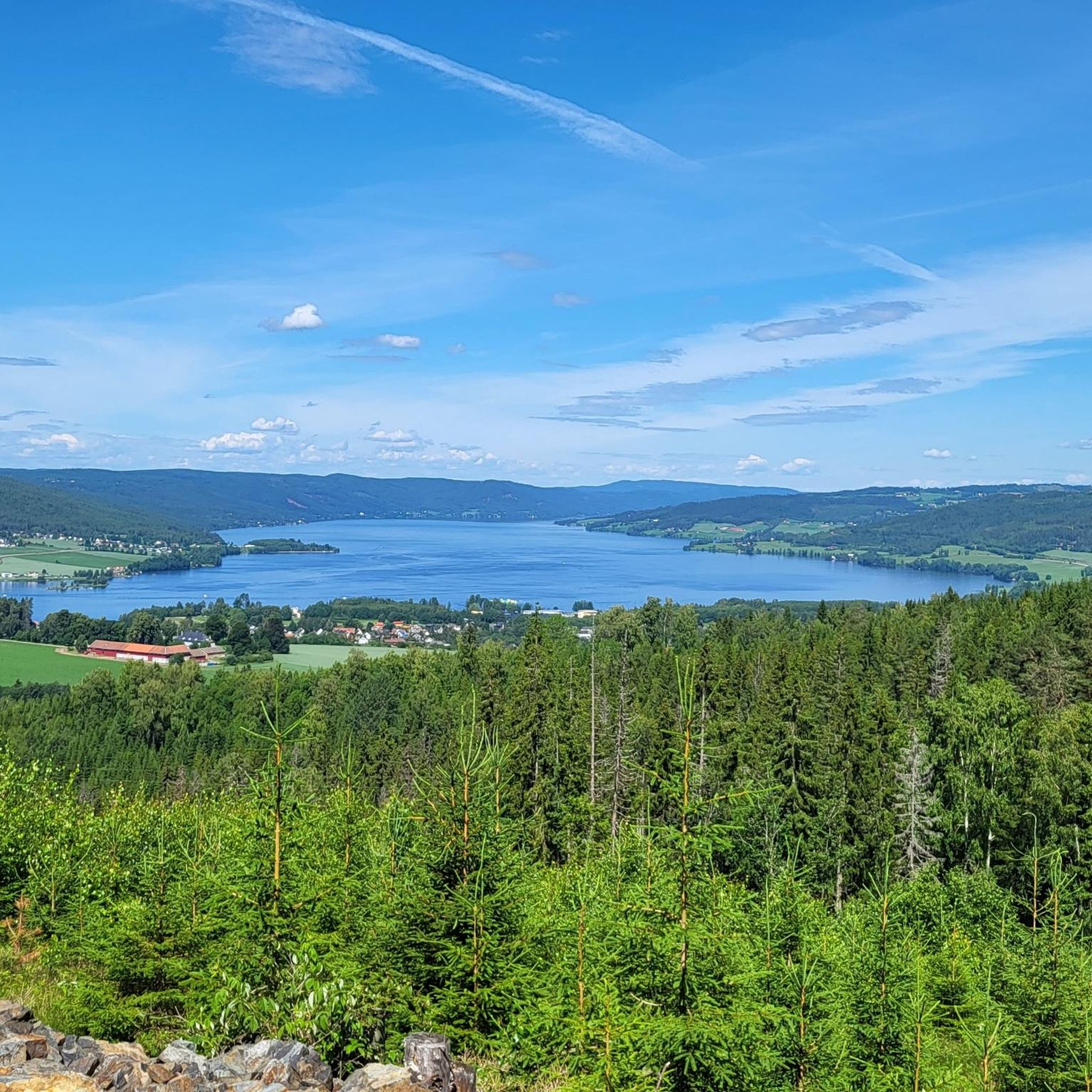
Yes, the region offers scenic views of the surrounding natural environment. The Randsfjord Ferry loop from Jevnaker stasjon, for example, provides views of the Randsfjord. The reserve itself, with its highest point at 663 meters, offers potential views of Rughaugen, Ringkollen, Norefjell, Vikerfjell, Jevnaker, and Svarttjernshøgda (Nordmarka's highest peak).
Can I find circular road cycling routes in the area?
Yes, several routes in the area are loops, allowing you to start and end at the same point. Examples include the Velofoss – Jørnsbrannshaugen loop from Toso and the Velofoss loop from Jevnaker.
What is the best time of year to go road cycling in this region?
The best time for road cycling in the Langvassbrenna Naturreservat area is typically during the warmer months when roads are clear of snow and ice. Winter conditions can make road cycling challenging due to snow and potential ice, especially at higher elevations.
Are there any specific regulations or permits required for cycling in Langvassbrenna Naturreservat?
Langvassbrenna Naturreservat is primarily an old-growth forest reserve. While there is road access to the southern part and some tractor roads within, the reserve itself is not primarily promoted for dedicated road cycling within its boundaries. General road cycling regulations apply on public roads in the surrounding Jevnaker municipality. No specific cycling permits are mentioned for the reserve itself, but cyclists should respect nature reserve rules.
Is there parking available near the road cycling routes?
The region research mentions 'easy access from the road in the south' for Langvassbrenna Naturreservat, implying roadside parking might be available. For specific routes, starting points like 'Toso' or 'Jevnaker stasjon' would typically have parking facilities nearby, though it's always advisable to check local signage.
Are there any cafes or places to stop for refreshments along the routes?
While the reserve itself is a natural area, the broader Jevnaker municipality and towns like Jevnaker, which serve as starting points for some routes, will offer amenities such as cafes and restaurants for refreshments before or after your ride.
What is the typical elevation gain on road cycling routes in this area?
The elevation gain varies significantly depending on the route. For example, the Velofoss – Jørnsbrannshaugen loop from Toso involves over 960 meters of ascent, while the Randsfjord Ferry loop from Jevnaker stasjon has an elevation gain of over 567 meters.
Most popular routes in Langvassbrenna Naturreservat

Get inspired with the komoot mobile app


Explore more
Browse the best Road cycling routes in other regions.
