The best walks and hikes in Skärmarbodabergen
4.6
(84)
312
hikers
34
hikes
Hiking in Skärmarbodabergen offers a range of trails within this natural park in Örebro. The area features varied terrain suitable for different skill levels, with a focus on loop routes. Hikers can find both easy and moderate paths, providing options for shorter walks or longer excursions. The landscape includes natural features typical of a Swedish natural park, with elevation changes present on many routes.
Best hiking trails in Skärmarbodabergen
- The most popular hiking route is Trail Sign – Parking Lot…
Last updated: July 15, 2026
4.7
(3)
25
hikers
2.92km
00:48
50m
50m
Easy hike. Great for any fitness level. Easily-accessible paths. Suitable for all skill levels.
4.7
(3)
9
hikers
7.56km
02:07
140m
140m
Moderate hike. Good fitness required. Easily-accessible paths. Suitable for all skill levels.

Sign up for free
4.0
(1)
4
hikers
8.43km
02:21
160m
160m
Moderate hike. Good fitness required. Easily-accessible paths. Suitable for all skill levels.
4.5
(4)
38
hikers
12.7km
03:29
210m
210m
Moderate hike. Good fitness required. Easily-accessible paths. Suitable for all skill levels.
4.0
(1)
3
hikers
5.25km
01:23
40m
40m
Easy hike. Great for any fitness level. Easily-accessible paths. Suitable for all skill levels.
Get access to more routes and recommendations from other explorers.
Sign up for free
Already have an account?
Our route recommendations are based on thousands of hikes, rides, and runs completed by other people on komoot.
Start today with a free account
Your next adventure awaits.
Login or Signup
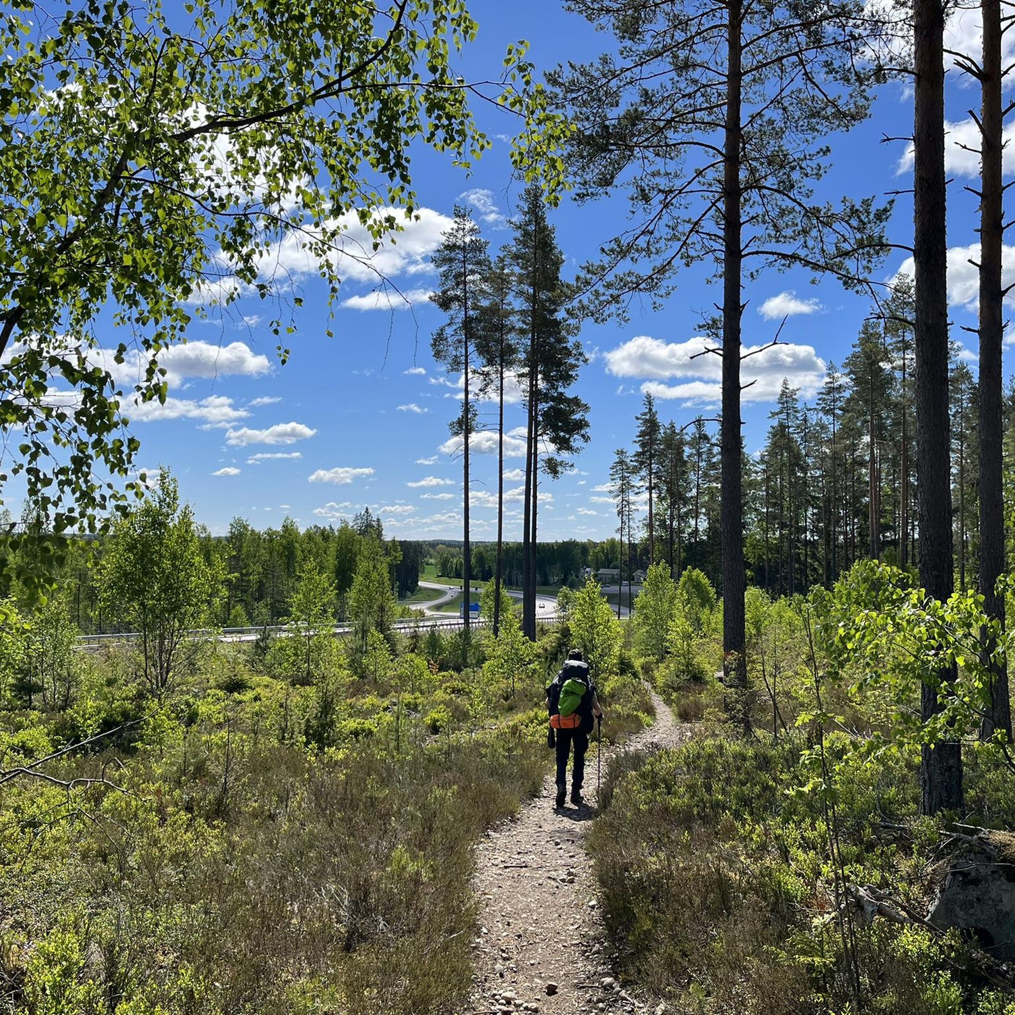
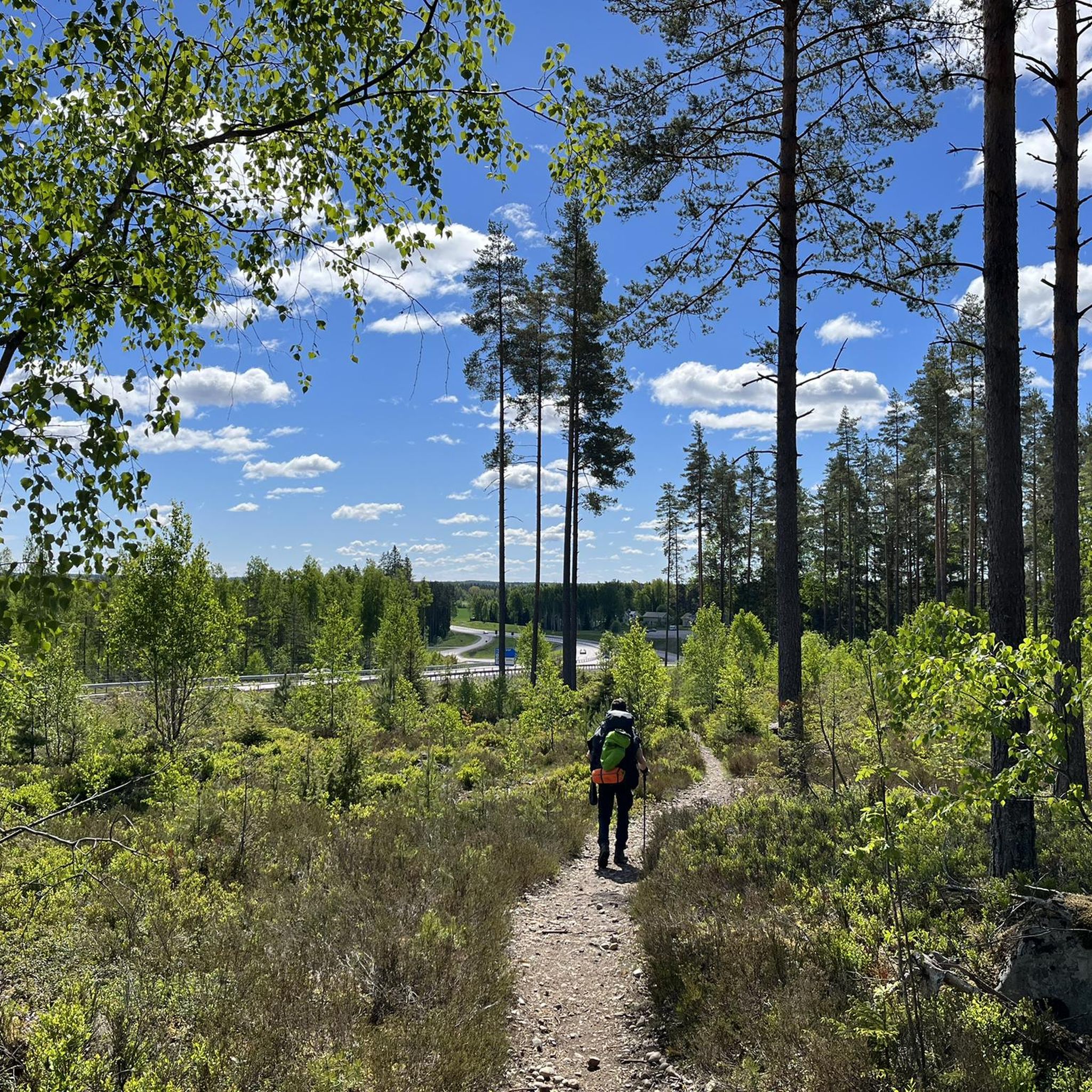

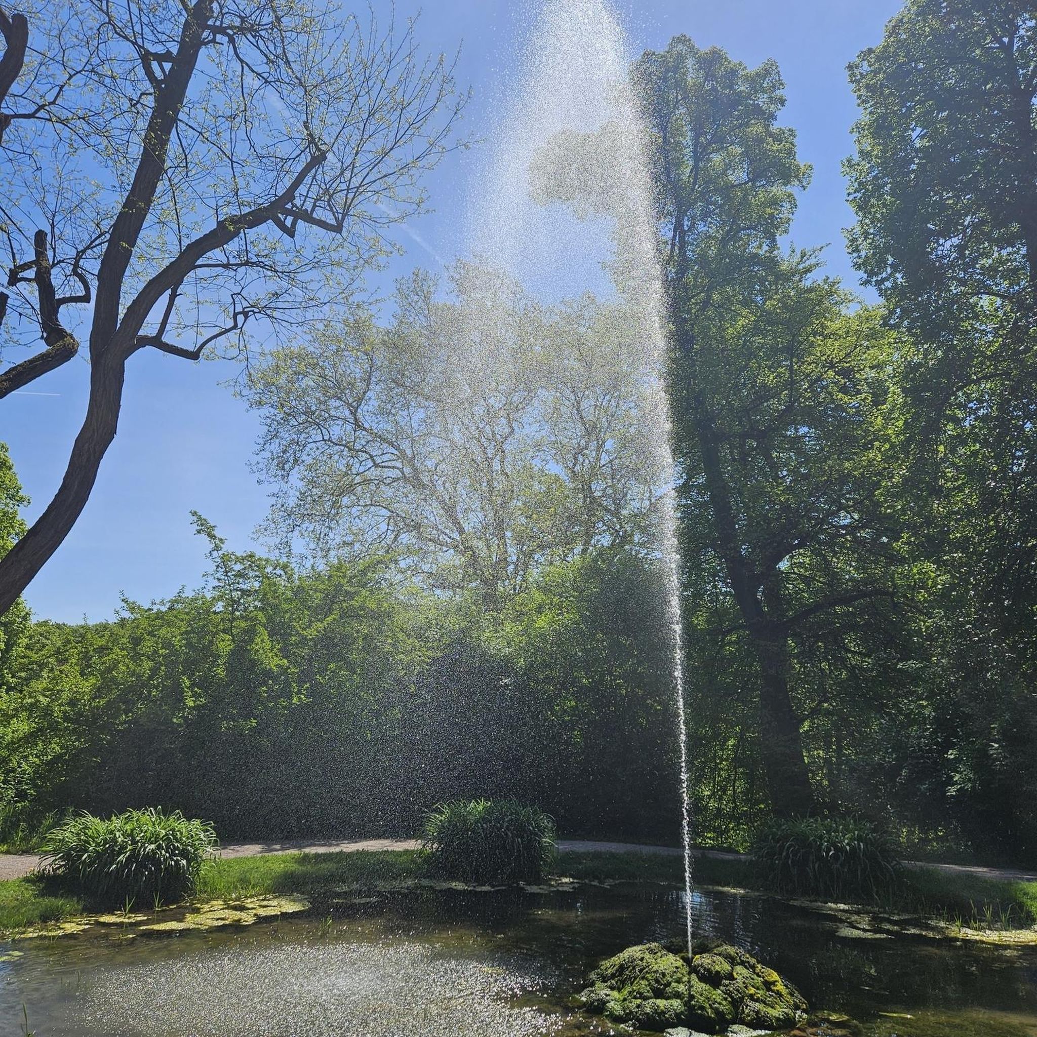
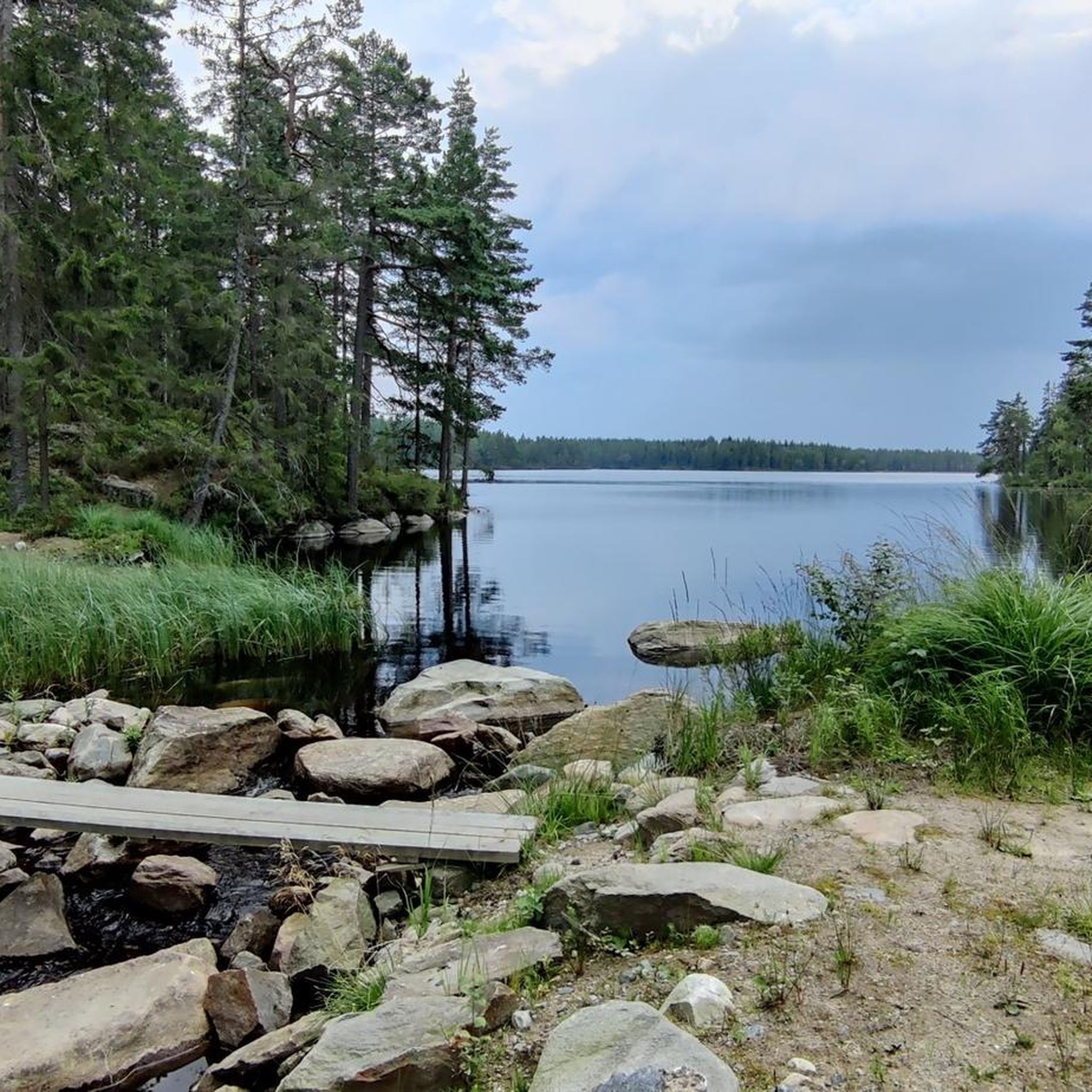
Tips from the Community

Information about the Kilsberge and its sights
0
0
Campfire area with grill next to a parking lot. Plenty of seating, some with tables.
0
0
Vindskydd sleeps 4. A fireplace with benches is located in front.
0
0
The water tap is now located at the red house
0
0

Nice place to quickly fill your water bottle.
1
0

Today's Ramshyttan consists of about ten courtyards. Remains of the old smithy can be seen under the dam.
3
0


If you don't follow the Berglagsleden here, but choose the shortcut over the Amboberget, the ascent is steep but beautiful. Directly at the summit the distant view is overgrown, but a little below you can see what you expect up here.
0
0
Frequently Asked Questions
How many hiking trails are available in Skärmarbodabergen?
Skärmarbodabergen offers around 30 hiking routes. The majority, about two-thirds, are rated as easy, while the remaining trails are moderate. There are no difficult routes in the area, making it accessible for various skill levels.
Are there easy or beginner-friendly hiking routes in Skärmarbodabergen?
Yes, Skärmarbodabergen is very beginner-friendly, with 22 out of 32 routes classified as easy. A great option for a quick, easy walk is the Trail Sign – Parking Lot loop from Skärmarbodabergen, which is 1.8 miles (2.9 km) and takes less than an hour.
What is the typical length and duration of hikes in Skärmarbodabergen?
Hikes in Skärmarbodabergen vary in length and duration. You can find shorter walks like the Trail Sign – Parking Lot loop at 1.8 miles (2.9 km) taking about 48 minutes, up to longer moderate routes such as the Amboberget Nature Reserve loop, which is about 7.8 miles (12.6 km) and takes over 3 hours.
Are there circular hiking routes in Skärmarbodabergen?
Yes, the hiking network in Skärmarbodabergen is characterized by well-defined loop trails. Many routes, such as the Skärmarbodabergen loop from Skärmarbodabergen or the Skärmarbodabergen loop from Lilla Mon, are designed as circular paths, allowing you to start and end at the same point.
Is Skärmarbodabergen suitable for family-friendly hikes?
Absolutely. With a significant number of easy trails and varied terrain, Skärmarbodabergen is well-suited for families. The shorter loop options provide manageable distances for children, and the natural park setting offers an engaging outdoor experience.
Can I bring my dog on the trails in Skärmarbodabergen?
Generally, dogs are welcome on trails in Swedish natural parks, provided they are kept on a leash. Skärmarbodabergen's varied terrain and loop trails offer good opportunities for walks with your canine companion. Always check local signage for any specific restrictions.
What is the best time of year to hike in Skärmarbodabergen?
The best time to hike in Skärmarbodabergen is typically during the spring, summer, and early autumn months (May to September). During these periods, the weather is generally milder, and the trails are clear of snow and ice, offering pleasant conditions for exploring the natural park.
Is winter hiking possible in Skärmarbodabergen?
Winter hiking is possible, but conditions can be challenging with snow and ice. While some trails might be accessible, it's essential to be prepared with appropriate winter gear, including warm clothing and traction devices for your footwear. Always check local weather and trail conditions before heading out.
Are there any viewpoints or scenic spots along the trails?
Skärmarbodabergen is a natural park known for its varied landscape, which includes elevation changes on many routes. This often provides opportunities for scenic views over the surrounding forest and natural features. The trails are designed to showcase the park's natural beauty.
What do other hikers enjoy most about Skärmarbodabergen?
The area is highly rated by the komoot community, with an average score of 4.6 stars from over 70 reviews. Hikers often praise the varied terrain, the well-defined loop trails, and the natural park landscapes that offer options for different ability levels, from easy strolls to more challenging moderate hikes.
Where can I find parking for the Skärmarbodabergen trails?
The guide mentions routes starting from 'Skärmarbodabergen' and 'Lilla Mon', indicating designated starting points likely equipped with parking facilities. For example, the Trail Sign – Parking Lot loop from Skärmarbodabergen explicitly references a parking lot in its name, suggesting convenient access for drivers.
Are there any amenities like cafes or restrooms near the hiking trails?
As a natural park, Skärmarbodabergen focuses on preserving its natural environment. While specific cafes or dedicated restrooms directly on the trails are uncommon, it's advisable to check for facilities at the main trailheads or in nearby villages before or after your hike.
Most popular routes in Skärmarbodabergen

Get inspired with the komoot mobile app


Explore more
Browse the best Hikes in other regions.
