The best walks and hikes in Oberfrauenau
4.6
(14728)
55,735
hikers
15
hikes
Hiking in Oberfrauenau offers diverse landscapes within the Bavarian Forest National Park, characterized by dense, rolling hills and extensive ancient forests. The region features prominent mountain peaks such as Großer Rachel and Großer Falkenstein, alongside picturesque drinking water reservoirs like the Frauenau Drinking Water Reservoir and tranquil lakes such as Rachelsee. This area provides a well-developed network of trails, making it a destination for various outdoor activities.
Best hiking trails in Oberfrauenau
- The most popular hiking route is Rachelsteig –…
Last updated: July 11, 2026
4.6
(141)
615
hikers
14.4km
04:43
680m
680m
Moderate hike. Good fitness required. Mostly accessible paths. Sure-footedness required.
4.6
(13)
49
hikers
17.0km
05:27
710m
710m
Hard hike. Very good fitness required. Mostly accessible paths. Sure-footedness required.

Sign up for free
4.7
(18)
115
hikers
Easy hike. Great for any fitness level. Easily-accessible paths. Suitable for all skill levels.
4.8
(12)
61
hikers
22.5km
07:28
1,090m
1,090m
Hard hike. Very good fitness required. Mostly accessible paths. Sure-footedness required.
4.9
(9)
33
hikers
28.1km
09:14
1,160m
1,160m
Hard hike. Very good fitness required. Mostly accessible paths. Sure-footedness required.
Get access to more routes and recommendations from other explorers.
Sign up for free
Already have an account?
Our route recommendations are based on thousands of hikes, rides, and runs completed by other people on komoot.
Start today with a free account
Your next adventure awaits.
Login or Signup


Tips from the Community


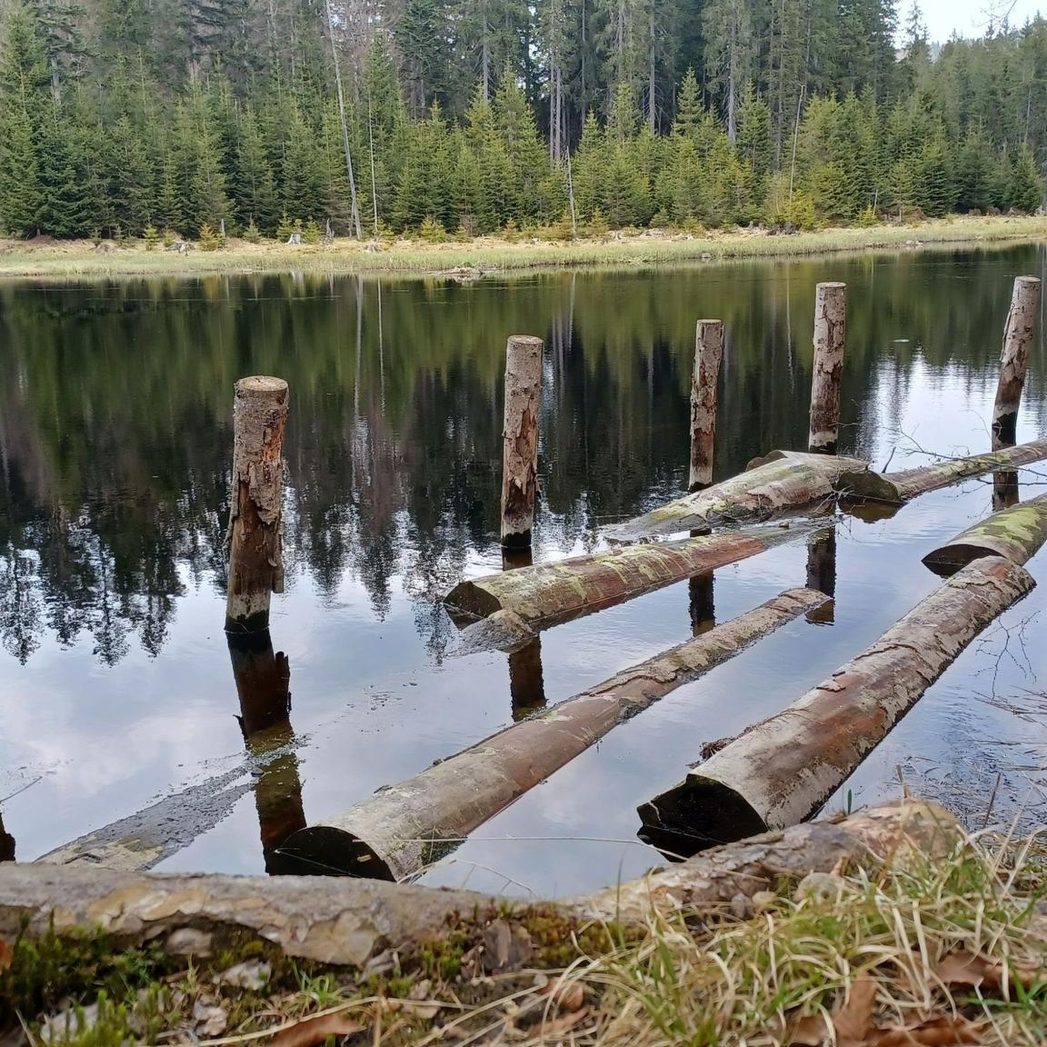
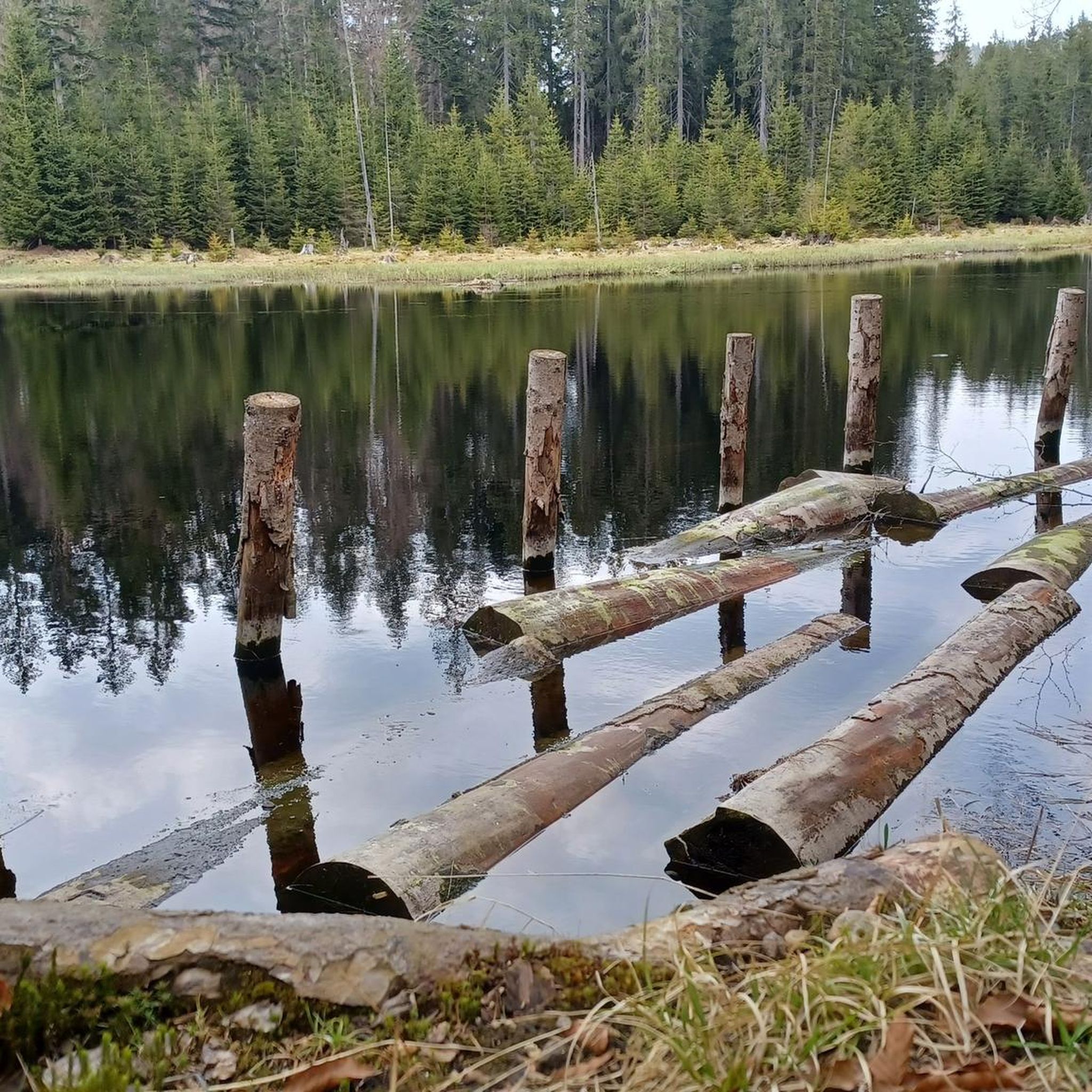
always nice here
0
0
currently very low water level
0
0


A small boulder that you can climb. There's a rope guardrail attached. 🙈. The view is obscured by the trees.
0
0


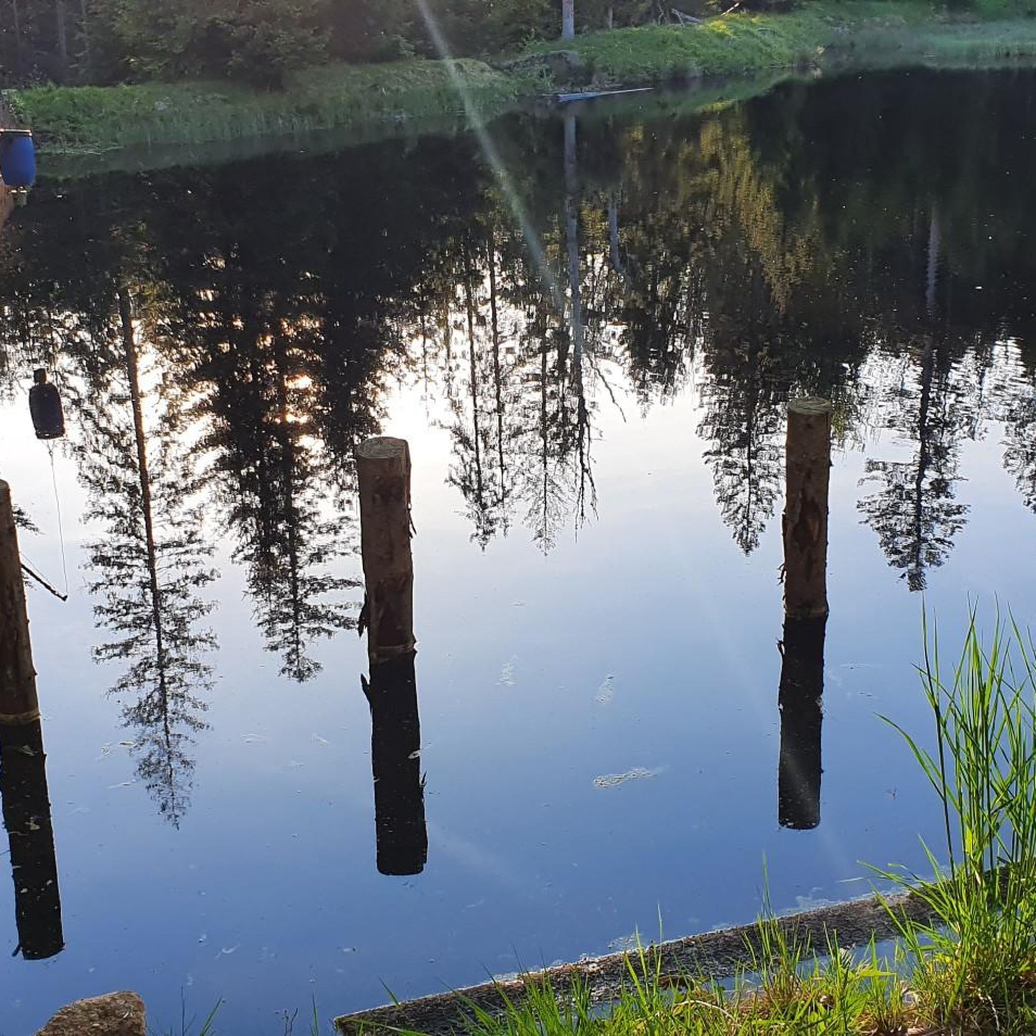
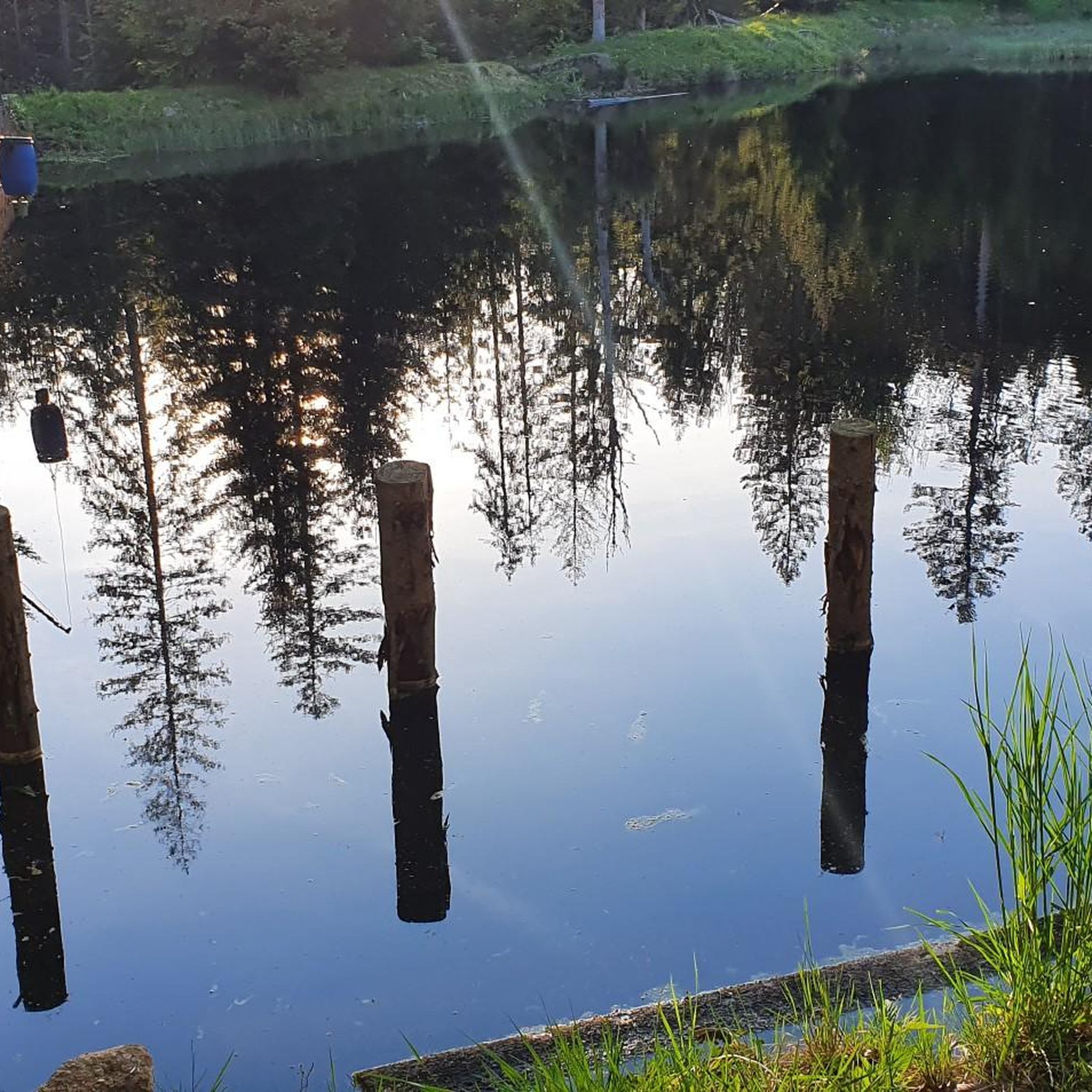
View from the reservoir dam
0
0
Frequently Asked Questions
What kind of hiking trails can I expect in Oberfrauenau?
Oberfrauenau, situated within the Bavarian Forest National Park, offers a diverse range of trails. You'll find paths through dense forests, rolling hills, and routes leading to prominent mountain peaks like Großer Rachel and Großer Falkenstein. The area features everything from easy strolls around reservoirs to challenging mountaineering routes with significant elevation gain.
Are there easy hiking routes suitable for beginners or casual walkers in Oberfrauenau?
Yes, Oberfrauenau has several easy routes. For a relaxed experience, consider the Frauenau Drinking Water Reservoir – Frauenau Reservoir loop from Oberfrauenau, which is just over 4 km long with minimal elevation gain. This trail offers a pleasant walk around the picturesque reservoir.
What are the more challenging hiking options in Oberfrauenau?
For experienced hikers seeking a challenge, routes ascending Großer Rachel are ideal. The View of Lake Rachel – Großer Rachel Summit loop from Oberfrauenau is a difficult 22.5 km trail with over 1000 meters of elevation gain, offering stunning mountain scenery and views of Rachelsee.
Are there any circular hiking routes around the Frauenau Reservoir?
Absolutely. A popular circular route is the View of the Frauenau Reservoir – Frauenau Drinking Water Reservoir loop from Wildschutzgebiet Auwald. This moderate 8.4 km trail takes about 2 hours 20 minutes to complete and provides beautiful views of the reservoir.
What natural landmarks or viewpoints can I discover while hiking in Oberfrauenau?
The region is rich in natural features. You can hike to the summit of Großer Rachel for panoramic views, or visit the scenic Rachelsee. The area also includes the Frauenau Drinking Water Reservoir, which serves as a picturesque starting point or point of interest. The Goldsteig N17 trail, for example, leads past the Rachel Chapel and Rachelsee.
What do other hikers enjoy most about the trails in Oberfrauenau?
Hikers consistently rate the trails in Oberfrauenau highly, with an average score of 4.5 stars from over 4,300 reviews. Many praise the immersive natural experience within the Bavarian Forest National Park, highlighting the dense forests, prominent mountain peaks, and the well-maintained trail network that caters to all fitness levels.
How many hiking trails are available in the Oberfrauenau area?
There are over 15 hiking trails listed for the Oberfrauenau area, ranging from easy to difficult. This includes 2 easy, 6 moderate, and 9 difficult routes, ensuring options for various skill levels and preferences.
Is Oberfrauenau a good destination for family-friendly hikes?
Yes, Oberfrauenau offers trails suitable for families. The diverse range of paths includes easy strolls with minimal elevation, perfect for a leisurely day out with children. The picturesque drinking water reservoirs often serve as accessible and enjoyable starting points for these family-friendly walks.
What is the best time of year to go hiking in Oberfrauenau?
Oberfrauenau is an attractive hiking destination year-round. Spring brings vibrant floral displays, while autumn transforms the forests into a rich palette of colors, enhancing the hiking experience. Summer offers pleasant temperatures for longer treks, and winter provides opportunities for snowshoeing or winter hiking, though conditions can be challenging.
Are there any specific attractions or points of interest near the hiking trails in Oberfrauenau?
Yes, beyond the trails themselves, you can explore several points of interest. These include the National Park Cycle Route, the Bavarian Forest National Park itself, and the Altposchingerhütte. There's also a Wooden Shelter Near Frauenau which can be a nice stop during your hike.
Are dogs allowed on the hiking trails in Oberfrauenau?
Generally, dogs are welcome on many hiking trails in the Bavarian Forest National Park area, including around Oberfrauenau. However, it's always recommended to keep dogs on a leash, especially within the National Park boundaries, to protect wildlife and ensure a pleasant experience for all hikers. Check specific trail regulations if you plan to venture into core wilderness zones.
What is the typical duration for a moderate hike in Oberfrauenau?
The duration for moderate hikes in Oberfrauenau can vary. For example, the Rachelsteig – Großer Rachel Summit loop from Oberfrauenau, a moderate 14.4 km trail, typically takes around 4 hours 43 minutes to complete, depending on your pace and stops.
Most popular routes in Oberfrauenau
Most popular attractions in Oberfrauenau

Get inspired with the komoot mobile app


Explore more
Browse the best Hikes in other regions.
