The best MTB trails in Rauner- Und Haarbachtal
4.8
(279)
419
riders
56
rides
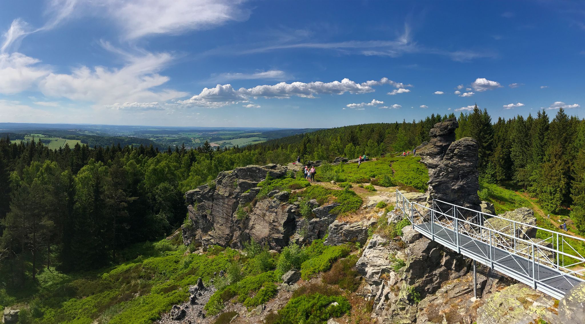
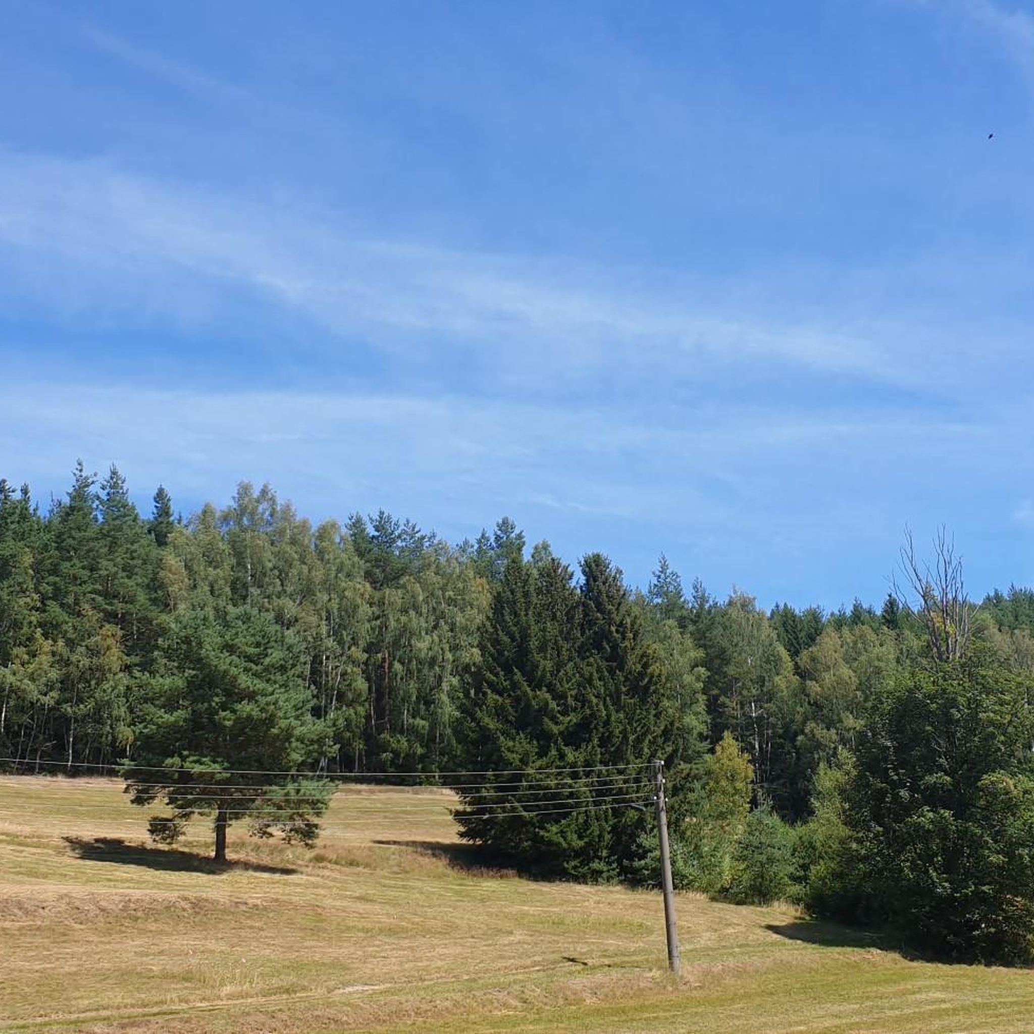
Mountain biking in Rauner- Und Haarbachtal offers diverse landscapes within a nature reserve in Vogtlandkreis, Saxony. The region is characterized by the Rauner Bach and Haarbach streams, which contribute to a varied topography ideal for mountain bike trails. Riders will find a mix of forests, meadows, and natural features that create a scenic and engaging backdrop for outdoor pursuits. The terrain includes significant elevation gains, providing a good workout for riders of different skill levels.
Best mountain bike trails in…
Last updated: October 1, 2026
4.6
(43)
41
riders
51.3km
03:19
510m
510m
Hard mountain bike ride. Good fitness required. Advanced riding skills necessary. Some portions of the route may require you to push your bike.
4.7
(9)
24
riders
37.7km
02:54
540m
540m
Moderate mountain bike ride. Good fitness required. Advanced riding skills necessary.

4.6
(32)
39
riders
39.8km
02:42
490m
480m
Moderate mountain bike ride. Good fitness required. Suitable for all skill levels.
4.7
(73)
26
riders
42.1km
03:02
580m
580m
Moderate mountain bike ride. Good fitness required. Advanced riding skills necessary.
5.0
(6)
19
riders
Moderate mountain bike ride. Good fitness required. Advanced riding skills necessary.
Get access to more routes and recommendations from other explorers.
Already have an account?
Our route recommendations are based on thousands of hikes, rides, and runs completed by other people on komoot.
Start today with a free account
Your next adventure awaits.

Other adventures in Rauner- Und Haarbachtal

Tips from the Community

The mineral spring (Kyselka Dolní Paseky) was already mentioned in the 12th century, and since the 16th century, the healing properties of the "Niederreuther Säuerling" have been highlighted. The spring is attributed with positive effects on potency and longevity. Locals who drank the water are said to have reached a very old age. The water from the spring, located about one and a half kilometers west of the Bohemian-Saxon border, is highly mineralized and contains Glauber's salt; its composition is similar to the healing water of Franzensbad (Františkovy Lázně). It is recommended for rheumatism and metabolic problems. In 1870, the businessman Gustav Geipel from Aš had the mineral water analyzed and a wooden pavilion built above the spring, which was converted into an Art Deco-style brick building in 1930. In 2015 and 2017, the spring temporarily dried up, presumably due to a damaged collection pipe that had been improperly repaired with brittle concrete in previous years. In 2018, the town of Aš renovated the collection pipe, the pavilion, and the immediate surroundings. A new bridge was built over the stream Bílý Halštrov (Weiße Elster). Near the spring, there are benches, and the facility is currently maintained by residents and holiday home owners.
8
0

Beautiful view from the border onto the village of Gürth
0
0
The war memorial of the disappeared place Mähring. The village school stood nearby. An old school desk is a reminder of it.
0
0
This is only the cemetery of the former village. The village itself was located further down.
0
0

Beautiful, well-maintained old buildings surround the square. Add to that the lovely parks. A real holiday feeling.
0
0
The castle is sadly falling into ruin. It belonged to the von und zu Zwernitz family, who were expelled from the Sudetenland after the Second World War. After the fall of the Iron Curtain, there was still a restaurant here. Now, some of the windows are missing. Nevertheless, the grounds are under video surveillance.
1
1
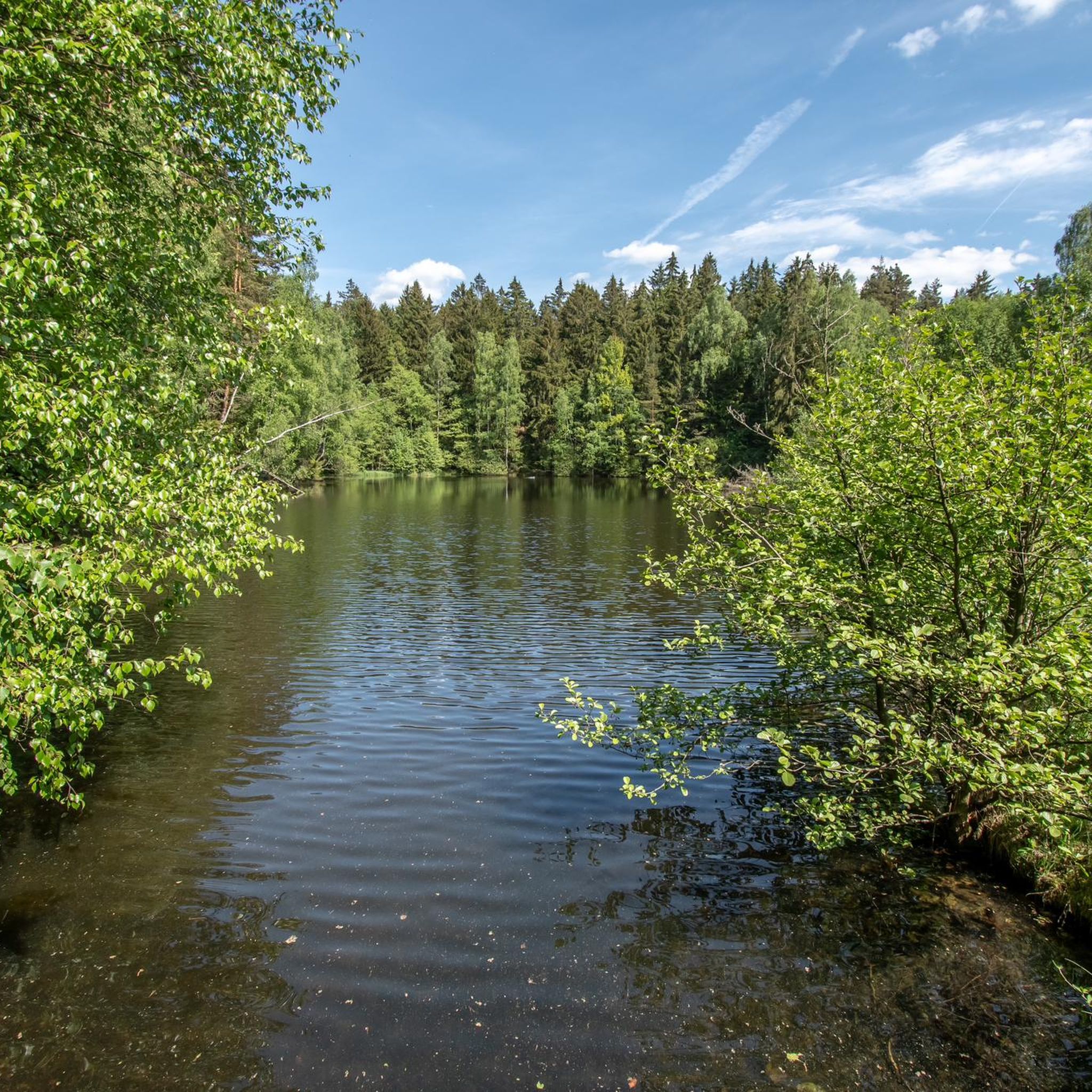
A quiet spot for a short break with a view of the reservoir.
0
0

Frequently Asked Questions
What kind of mountain biking terrain can I expect in Rauner- Und Haarbachtal?
The Rauner- Und Haarbachtal nature reserve offers diverse mountain biking terrain, characterized by the flowing Rauner Bach and Haarbach streams, dense forests, and open meadows. The varied topography includes significant elevation gains, providing a scenic and engaging backdrop for your rides. You'll encounter a mix of natural features that make for a dynamic experience.
What are the typical difficulty levels for mountain bike trails in this region?
Mountain bike trails in Rauner- Und Haarbachtal cater to various skill levels, predominantly ranging from moderate to difficult. While there is one easy route, the majority of the 57 available trails are either moderate (43 routes) or difficult (13 routes), offering a good workout for riders with some experience.
Are there any long-distance mountain bike routes in Rauner- Und Haarbachtal?
Yes, several routes offer extensive riding. For example, the Pirk Dam – Bench with a view of Pirk Dam loop from Bad Elster is a challenging 51.3 km trail. Other routes like the Alberti Hut – Bankerlweg Trail loop from Bad Elster cover over 42 km, providing a substantial ride.
What are some notable natural features or landmarks to look out for while mountain biking?
The region, being a nature reserve, is rich in natural beauty. You can discover features like the Rauner Forest Spring and the Former Sohler Springs. Additionally, the Holzmühle Pond Schönlind-Landwüst offers a tranquil spot, and the Grill Hut Mühlhausen can be a convenient stop.
What do other mountain bikers say about the trails in Rauner- Und Haarbachtal?
The mountain biking experience in Rauner- Und Haarbachtal is highly regarded by the komoot community, with an average rating of 4.8 stars from over 200 reviews. Riders often praise the diverse landscapes, the challenging yet rewarding elevation gains, and the well-maintained trails that wind through forests and along streams.
Are there mountain bike routes with significant elevation gain?
Yes, many routes in Rauner- Und Haarbachtal feature significant elevation gains, providing a good physical challenge. For instance, the Dreirainsteine — Boundary Stones – Kegelberg MTB Trails loop from Bad Elster includes over 680 meters of ascent, and the Sleepy Hollow Bridge – Fox Trail loop from Bad Elster has over 630 meters of climbing.
Can I find circular mountain bike routes in Rauner- Und Haarbachtal?
Most of the mountain bike routes in Rauner- Und Haarbachtal are designed as loops, allowing you to start and finish at the same point. Examples include the Europabrücke Rehau–Mähring – Alberti Hut loop from Bad Elster and the Pirk Dam – Bench with a view of Pirk Dam loop from Bad Elster.
What is the best time of year to go mountain biking in Rauner- Und Haarbachtal?
The diverse natural landscape of Rauner- Und Haarbachtal makes it enjoyable for mountain biking through much of the year. Spring and autumn offer pleasant temperatures and vibrant scenery, while summer provides longer daylight hours. Winter riding is possible, but trail conditions may vary due to snow or ice, so checking local conditions is advisable.
Are there any routes suitable for advanced mountain bikers seeking a challenge?
Absolutely. The region offers several challenging routes for experienced riders. The Pirk Dam – Bench with a view of Pirk Dam loop from Bad Elster is classified as difficult, spanning over 51 km with significant elevation, and some sections may require advanced riding skills or even pushing your bike.
How long do mountain bike tours typically take in Rauner- Und Haarbachtal?
The duration of mountain bike tours varies depending on the route length and your pace. Many of the moderate to difficult loops, which range from 35 km to over 50 km, typically take between 3 to 4 hours to complete. For example, the Alberti Hut – Bankerlweg Trail loop from Bad Elster is often completed in about 3 hours.
Most popular routes in Rauner- Und Haarbachtal
Most popular attractions in Rauner- Und Haarbachtal

Get inspired with the komoot mobile app


Explore more
Browse the best MTB trails in other regions.
