The best gravel rides in Rauner- Und Haarbachtal
4.6
(18)
62
riders
14
rides
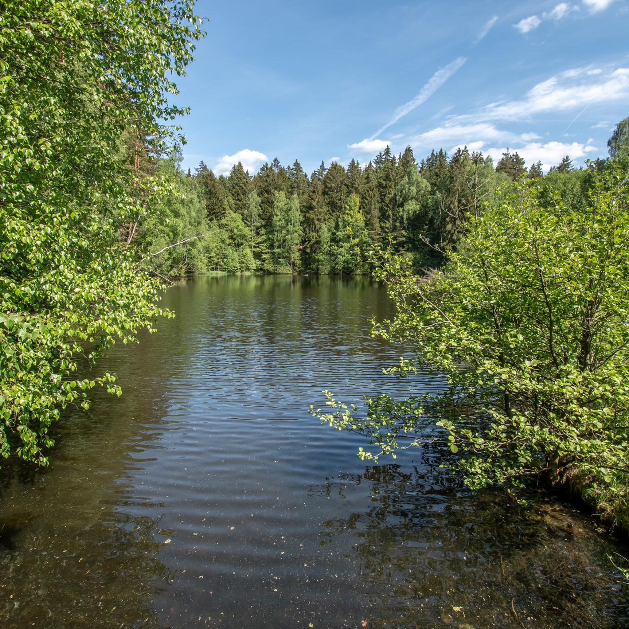
Gravel biking in Rauner- Und Haarbachtal offers varied terrain within the Vogtlandkreis region of Saxony, Germany. The area is characterized by the valley plains of the Rauner Bach and Haarbach streams, featuring diverse geological formations including Cambrian rocks, phyllites, and schist. Riders can expect a mix of forest paths, unpaved roads, and hilly sections, with elevations ranging from approximately 452 to 600 meters above sea level. This natural reserve provides a suitable environment for gravel biking due to its network of unpaved surfaces and natural landscapes.
Best gravel bike trails in Rauner- Und Haarbachtal
- The most popular gravel bike trail is Eger River in Wellertal – Old Avenue Asch–Neuhausen loop from Bad Elster, a 46.9 miles (75.5 km) trail that takes 5 hours 55 minutes to complete. This difficult route explores the Eger River valley and historic avenues.
- Another top favourite among local gravel bikers is View of the Zeidelweide Valley – Drei-Bistums-Eck Monument loop from Bad Elster, a moderate 19.3 miles (31.1 km) path. This route offers views of the Zeidelweide Valley and passes by the Drei-Bistums-Eck Monument.
- Local gravel bikers also love the Old Avenue Asch–Neuhausen – Tree-Lined Avenue loop from Bad Elster, a 26.3 miles (42.3 km) trail leading through historic avenues and tree-lined sections, often completed in about 2 hours 36 minutes.
- Gravel biking in Rauner- Und Haarbachtal is defined by valley plains, forest paths, and unpaved roads. The network offers options for different ability levels, from moderate to difficult routes.
- The routes in Rauner- Und Haarbachtal are highly rated by the komoot community with an average score of 4.8 stars from over 10 reviews. More than 60 gravel bikers have used komoot to explore Rauner- Und Haarbachtal's varied terrain.
Last updated: October 6, 2026
4.7
(3)
19
riders
Hard gravel ride. Very good fitness required. Mostly paved surfaces. Suitable for all skill levels.
5.0
(1)
5
riders
Moderate gravel ride. Good fitness required. Mostly paved surfaces. Suitable for all skill levels.

5.0
(1)
5
riders
Hard gravel ride. Very good fitness required. Mostly paved surfaces. Suitable for all skill levels.
4.0
(1)
2
riders
53.1km
03:13
640m
640m
Hard gravel ride. Very good fitness required. Mostly paved surfaces. Suitable for all skill levels.
5.0
(1)
9
riders
61.8km
05:02
950m
950m
Hard gravel ride. Very good fitness required. You may need to push your bike for some segments of this route.
Get access to more routes and recommendations from other explorers.
Already have an account?
Our route recommendations are based on thousands of hikes, rides, and runs completed by other people on komoot.
Start today with a free account
Your next adventure awaits.
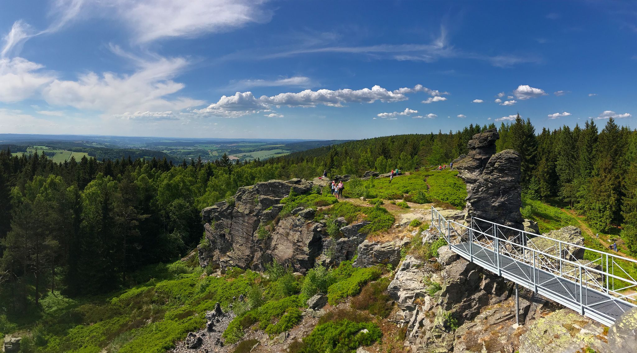
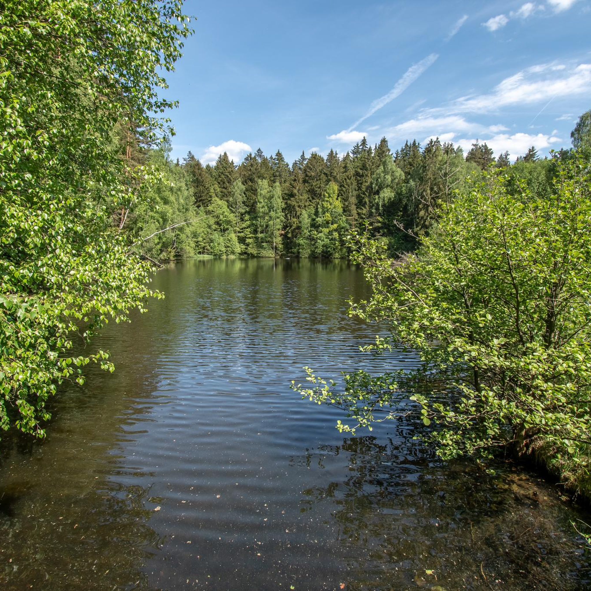
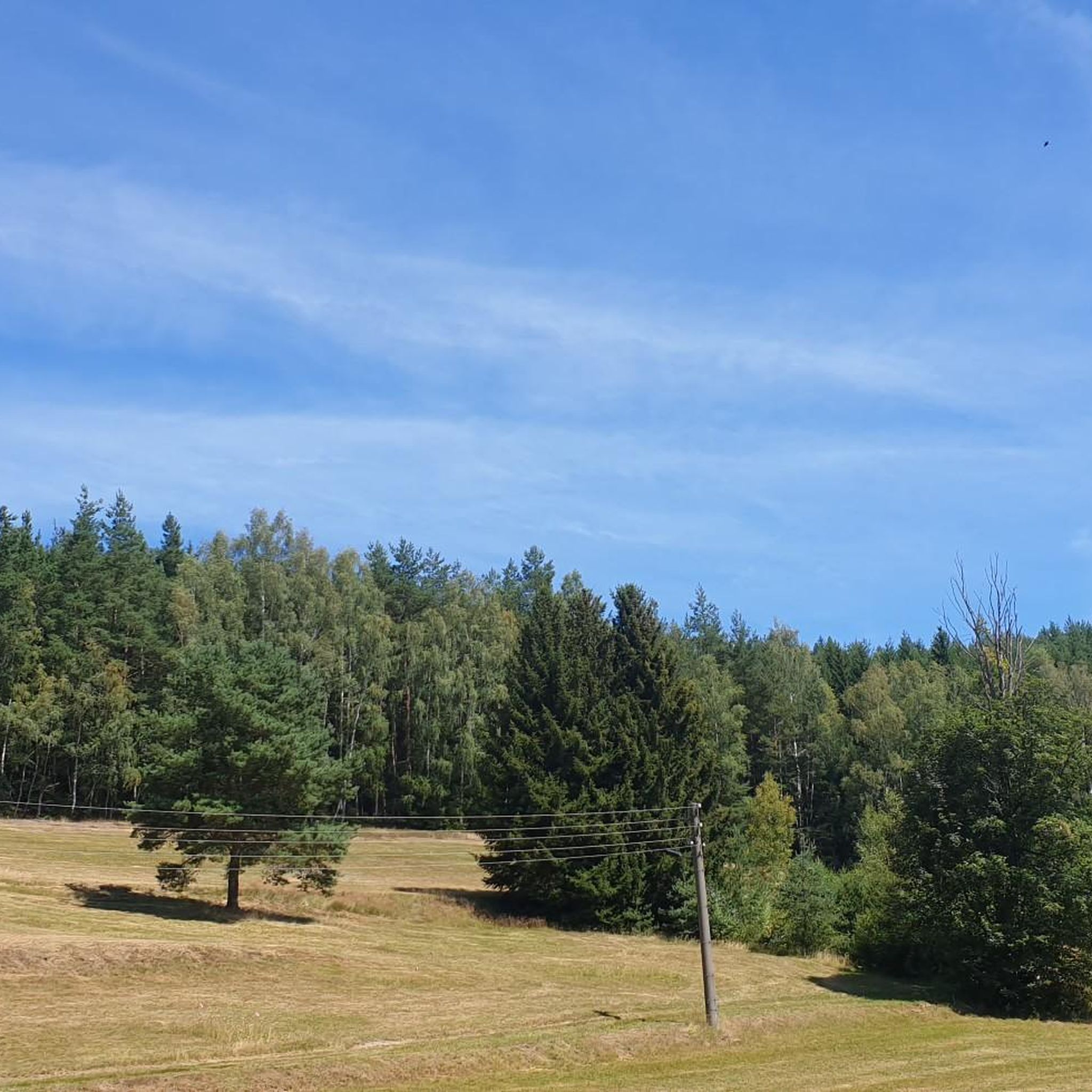
Other adventures in Rauner- Und Haarbachtal

Tips from the Community

Former railway depot and locomotive shed. The Vogtländische Eisenbahnverein Adorf is active there today.
0
0

Above the town's main square, the white horse from the place name towers, drinking from a stream made of metal. Next to it, you can look into the city center from a viewing platform. Below there are benches and a fountain.
15
0
The single-nave church in Rossbach, perched on a rock, rests on a chapel of Saint Martin. In the 14th century, there was a wooden chapel here, which was burned down by the Hussites in 1430, but reconsecrated in 1432. The chapel was a branch of St. Ägidien in Regnitzlosau; the common mother parish was St. Lorenzkirche in Hof. Rossbach did not become an independent parish church until 1502. In 1719, the old church gave way to a baroque church.
17
0

A great museum! Allow 2-4 hours.
0
0
A quiet spot for a short break with a view of the reservoir.
0
0

Between water and forest, mostly beautifully meandering
1
0

Small path with beautiful views.
3
0
Frequently Asked Questions
What kind of terrain can I expect on gravel bike trails in Rauner- Und Haarbachtal?
The Rauner- Und Haarbachtal region offers a diverse gravel biking experience. You'll encounter a mix of forest paths, unpaved roads, and hilly sections. The landscape is characterized by the valley plains of the Rauner Bach and Haarbach streams, with elevations ranging from approximately 452 to 600 meters above sea level. This varied terrain, shaped by Cambrian rocks, phyllites, and schist, provides both challenging climbs and rewarding descents.
How many gravel bike trails are available in Rauner- Und Haarbachtal?
There are over 20 gravel bike trails available in Rauner- Und Haarbachtal, offering a range of options for different skill levels. You can find routes from moderate to difficult, ensuring there's something for every gravel biker.
Are there any family-friendly gravel bike routes in Rauner- Und Haarbachtal?
While the region offers routes with varied difficulty, some of the moderate trails can be suitable for families with older children or those comfortable with some elevation gain. For example, the View of the Zeidelweide Valley – Drei-Bistums-Eck Monument loop from Bad Elster is a moderate 31.1 km path that offers scenic views without extreme technical challenges.
What are some notable natural features or landmarks to look out for along the trails?
The nature reserve itself is a key attraction, with its picturesque valley plains carved by the Rauner Bach and Haarbach streams. You can also discover specific points of interest like the Rauner Forest Spring, the Former Sohler Springs, and the Holzmühle Pond Schönlind-Landwüst. The broader Vogtland region is also home to the impressive Göltzschtalbrücke, a massive brick railway bridge, which can be a worthwhile detour.
What is the best time of year for gravel biking in Rauner- Und Haarbachtal?
The region is generally suitable for gravel biking from spring through autumn. The varied terrain and forest paths are particularly enjoyable during these seasons. While winter biking is possible, be prepared for potentially challenging conditions due to snow and ice, especially on unpaved sections and higher elevations.
Are there any circular gravel bike routes available?
Yes, many of the gravel bike routes in Rauner- Und Haarbachtal are designed as loops, allowing you to start and end at the same point. An example is the Musikantenradweg (Musicians' Cycle Route) - southern loop from Bad Elster, which is a challenging 61.8 km loop.
What do other gravel bikers say about the trails in Rauner- Und Haarbachtal?
The gravel biking routes in Rauner- Und Haarbachtal are highly rated by the komoot community, with an average score of 4.8 stars from over 10 reviews. Riders often praise the varied terrain, the scenic natural landscapes, and the well-maintained unpaved paths that make for an engaging experience.
Are there any cafes or places to eat near the gravel bike trails?
While the nature reserve itself focuses on natural beauty, the nearby town of Bad Elster and other communities in the Vogtlandkreis offer various cafes, pubs, and restaurants where you can refuel. You might also find a Grill Hut Mühlhausen for a quick stop.
Is it possible to combine gravel biking with public transport in the Vogtlandkreis region?
The Vogtlandkreis region generally has public transport options, and some services may accommodate bicycles. It's advisable to check specific train or bus schedules and their bicycle policies in advance, especially if you plan to use public transport to reach your starting point or for longer distances.
Are the mountain biking trails in Rauner- Und Haarbachtal suitable for gravel bikes?
Many mountain biking trails, particularly those designated for easier or moderate difficulty, often share characteristics with gravel routes, featuring unpaved surfaces and forest paths. Given the region's network of forestry and service roads, it's likely that some MTB trails could be suitable for gravel bikes, though more technical singletrack might be challenging. Always assess the trail conditions and your bike's capabilities.
Where can I find parking for gravel biking in Rauner- Und Haarbachtal?
Specific parking areas are typically available near trailheads or in nearby towns like Bad Elster, which serve as common starting points for many routes. Look for designated parking lots or roadside parking where permitted, especially when accessing the nature reserve.
Are there any longer, more challenging gravel bike routes for experienced riders?
Yes, for experienced riders seeking a challenge, routes like From Markneukirchen along the Czech borders offer significant distances and elevation gains. This particular route is a difficult 33 km path with substantial climbing, providing a demanding experience for advanced gravel bikers.
Most popular routes in Rauner- Und Haarbachtal
Most popular attractions in Rauner- Und Haarbachtal

Get inspired with the komoot mobile app


Explore more
Browse the best Gravel rides in other regions.
