The best walks and hikes in Rezerwat Bajory
5.0
(6)
72
hikers
7
hikes
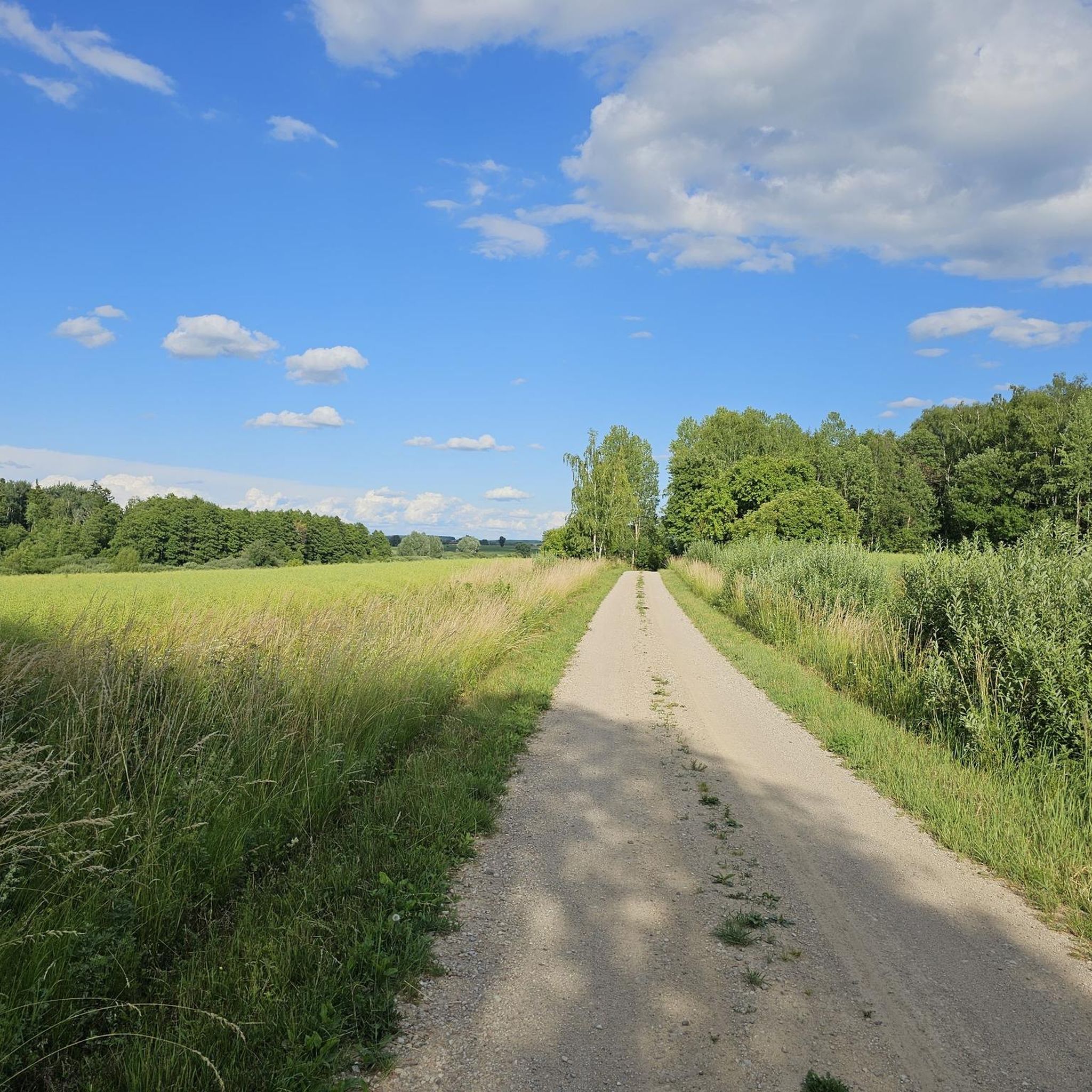
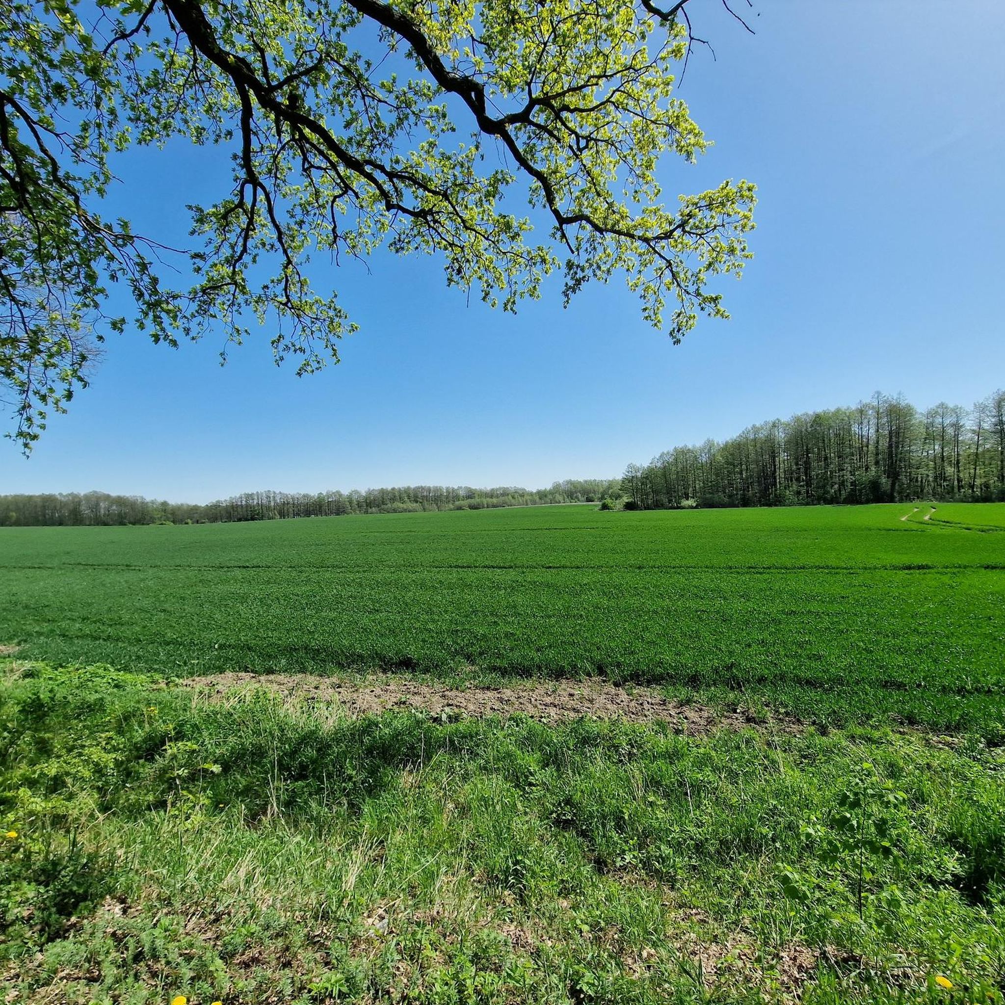
Hiking in Rezerwat Bajory offers exploration through a unique wetland-rich landscape, characterized by bogged meadows and forests. This nature reserve, located north of Srokowo, features a section of the historic Masurian Canal and numerous peat pits, contributing to its varied terrain. The area's naturalne cechy Rezerwat Bajory support diverse ecosystems, making it a significant destination for outdoor activities.
Best hiking trails in Rezerwat Bajory
- The most popular hiking route is Upper Leśniewo Lock – Lock loop from Guja, a…
Last updated: July 9, 2026
1
hikers
14.0km
03:39
90m
90m
Moderate hike. Good fitness required. Easily-accessible paths. Suitable for all skill levels.
3
hikers
16.8km
04:25
140m
140m
Moderate hike. Good fitness required. Easily-accessible paths. Suitable for all skill levels.

Sign up for free
1
hikers
23.1km
06:03
160m
160m
Hard hike. Very good fitness required. Easily-accessible paths. Suitable for all skill levels.
5.0
(1)
2
hikers
21.5km
05:33
110m
110m
Hard hike. Very good fitness required. Easily-accessible paths. Suitable for all skill levels.
5.0
(6)
21
hikers
18.8km
04:51
90m
90m
Moderate hike. Good fitness required. Easily-accessible paths. Suitable for all skill levels.
Get access to more routes and recommendations from other explorers.
Sign up for free
Already have an account?
Our route recommendations are based on thousands of hikes, rides, and runs completed by other people on komoot.
Start today with a free account
Your next adventure awaits.
Login or Signup
Popular around Rezerwat Bajory
Tips from the Community

From here you can explore Mauerwald or just chill, great water and a snack await you. Nice little camp spot..
7
0

The bunker museum in Mamerki (Mauerwald) houses one of the best-preserved German headquarters from World War II, whose huge concrete colossi survived the war completely unscathed. Exploring the gloomy bunker facilities and reconstructed exhibitions – such as a replica of the legendary Amber Room – you will delve deep into the oppressive history of this protected forest area.
1
0

The Okw was stationed here the bunkers are in very good condition were not blown up
4
0

Good access to the bunkers from the MPR route
0
0

You can't really get any further here, so back we go and along the road.
0
0
You can walk around behind the Fürstenau upper lock, but you should wear sturdy shoes. It can be a bit slippery on the slope. Caution: Pigeons live in the lock; don't be alarmed, they only flutter around when disturbed.
0
0

No entry, as on any railway bridge ;-)
0
0

To get from the left side of the canal to the right, you have to carry bicycles or other devices up a steep embankment.
0
0
Frequently Asked Questions
How many hiking trails are available in Rezerwat Bajory?
Rezerwat Bajory offers a selection of 6 hiking routes, ranging from moderate to difficult, allowing you to explore its unique wetland landscapes and diverse ecosystems.
What is the general difficulty level of hiking trails in Rezerwat Bajory?
The hiking trails in Rezerwat Bajory are primarily rated as moderate to difficult. For example, the Upper Leśniewo Lock – Lock loop from Guja is a moderate route, while the View of the Masurian Lake District – Lock loop from Guja is considered difficult due to its length and varied terrain.
Are there any circular hiking routes in Rezerwat Bajory?
Yes, several routes in Rezerwat Bajory are designed as loops, offering a complete exploration experience. Examples include the Rozlewisko Pasternak loop from Guja and the Leśniewo Górne Lock – Masurian Canal loop from Leśniewo.
What kind of natural features can I expect to see while hiking in Rezerwat Bajory?
Hikers in Rezerwat Bajory will encounter a unique landscape of bogged meadows and forests, shaped by natural processes and beaver activity. The historic Masurian Canal also runs through the reserve, alongside numerous peat pits, creating a varied and interesting terrain to explore.
Is Rezerwat Bajory a good place for wildlife spotting?
Absolutely. Rezerwat Bajory is dedicated to protecting breeding biotopes for numerous aquatic and marsh animals. You might spot beavers, moose, deer, wild boars, foxes, and otters. It's also an ornithological paradise, with a high density of bird species, including the river warbler, various ducks, marsh harriers, and birds of prey.
What is the best time of year to hike in Rezerwat Bajory?
While the reserve offers beauty year-round, spring and autumn are particularly rewarding. Spring brings abundant birdlife and fresh greenery, while autumn showcases vibrant foliage. Be aware that the bogged meadows can be wetter during periods of heavy rain or snowmelt.
Are there family-friendly hiking options in Rezerwat Bajory?
Given the moderate to difficult nature of most trails and the wetland environment, some routes might be challenging for very young children. However, families with older children who are accustomed to longer walks can enjoy the unique natural setting and wildlife observation opportunities. Always check the route details for distance and elevation before setting out.
Can I bring my dog on the hiking trails in Rezerwat Bajory?
While the region is generally welcoming to dogs, specific regulations for nature reserves can vary. It's advisable to keep dogs on a leash to protect the sensitive wildlife and natural habitats, especially during bird breeding seasons. Always check local signage for any specific restrictions within the reserve.
Where can I park when visiting Rezerwat Bajory for hiking?
Access points to the reserve, such as those near Guja or Leśniewo, typically offer parking facilities. It's recommended to check specific starting points for routes like the Lock loop from Leśniewo for the most convenient parking options.
Is public transport available to reach Rezerwat Bajory?
Rezerwat Bajory is located in a more rural area, approximately 11 km north of Srokowo. Public transport options might be limited. It is generally recommended to travel by car to reach the various trailheads and explore the reserve effectively.
What do other hikers enjoy most about Rezerwat Bajory?
The area is highly rated by the komoot community, with an average score of 5.0 stars. Reviewers often praise the unique wetland landscapes, the tranquility of the bogged meadows and forests, and the excellent opportunities for wildlife observation, particularly birdwatching.
Are there any scenic viewpoints along the trails in Rezerwat Bajory?
While not characterized by dramatic mountain vistas, the reserve offers unique scenic viewpoints over its wetland areas, the Masurian Canal, and the diverse ecosystems. The View of the Masurian Lake District – Lock loop from Guja, for instance, provides expansive views of the broader region's natural beauty.

Get inspired with the komoot mobile app


Explore more
Browse the best Hikes in other regions.
