The best walks and hikes around Höchstberg
4.5
(5334)
18,508
hikers
669
hikes
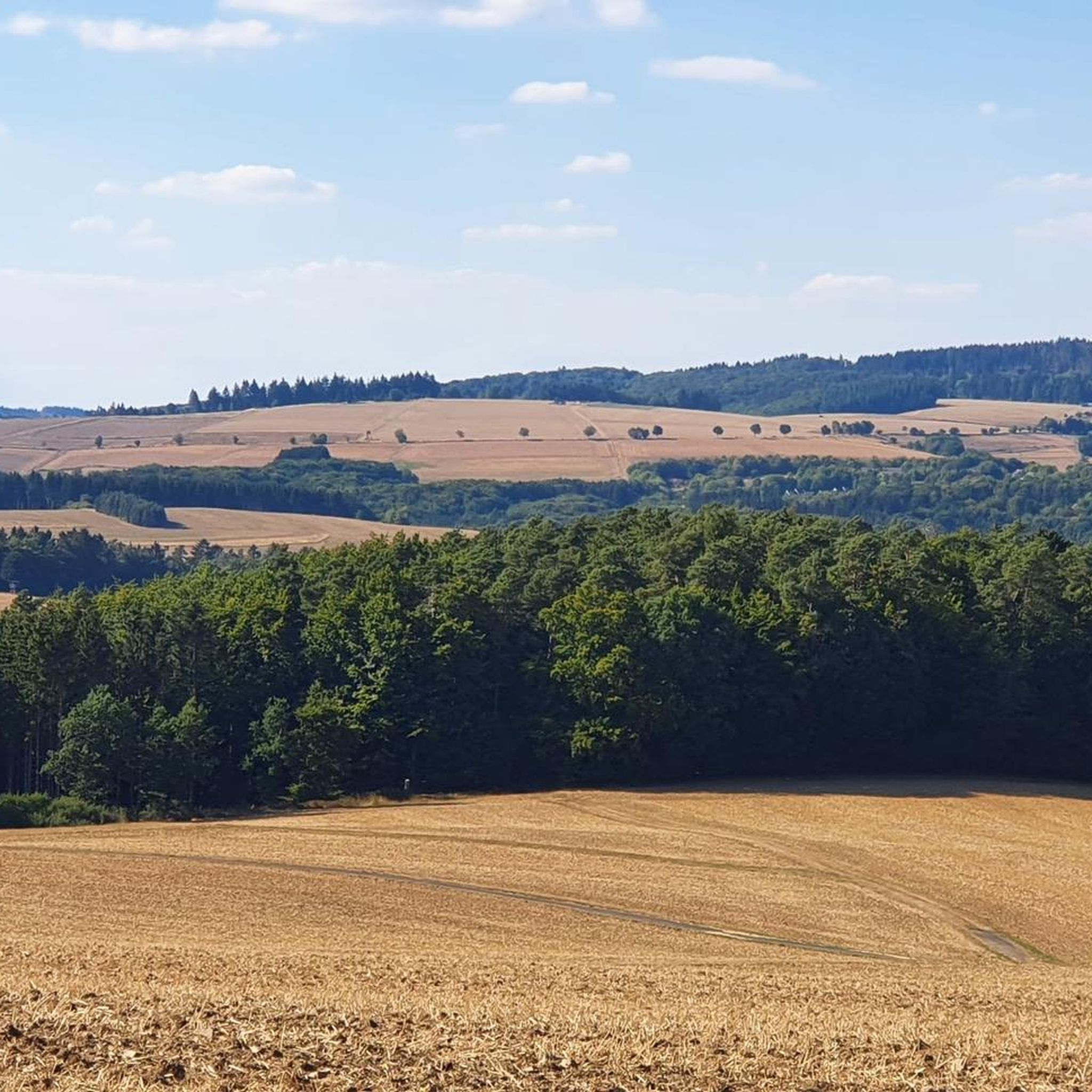
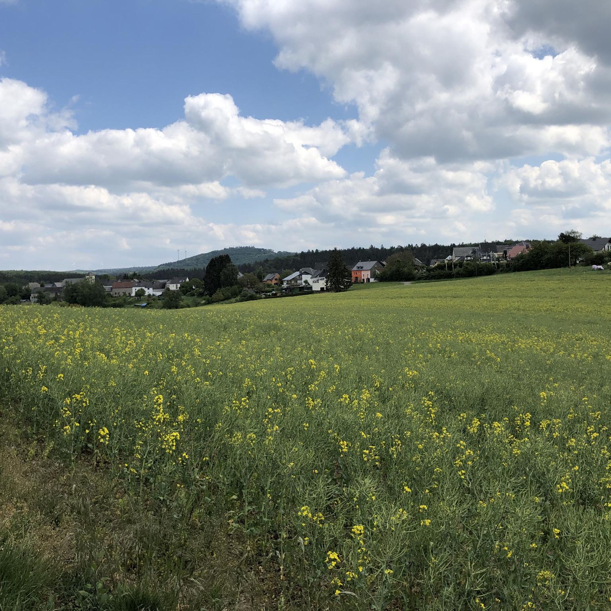
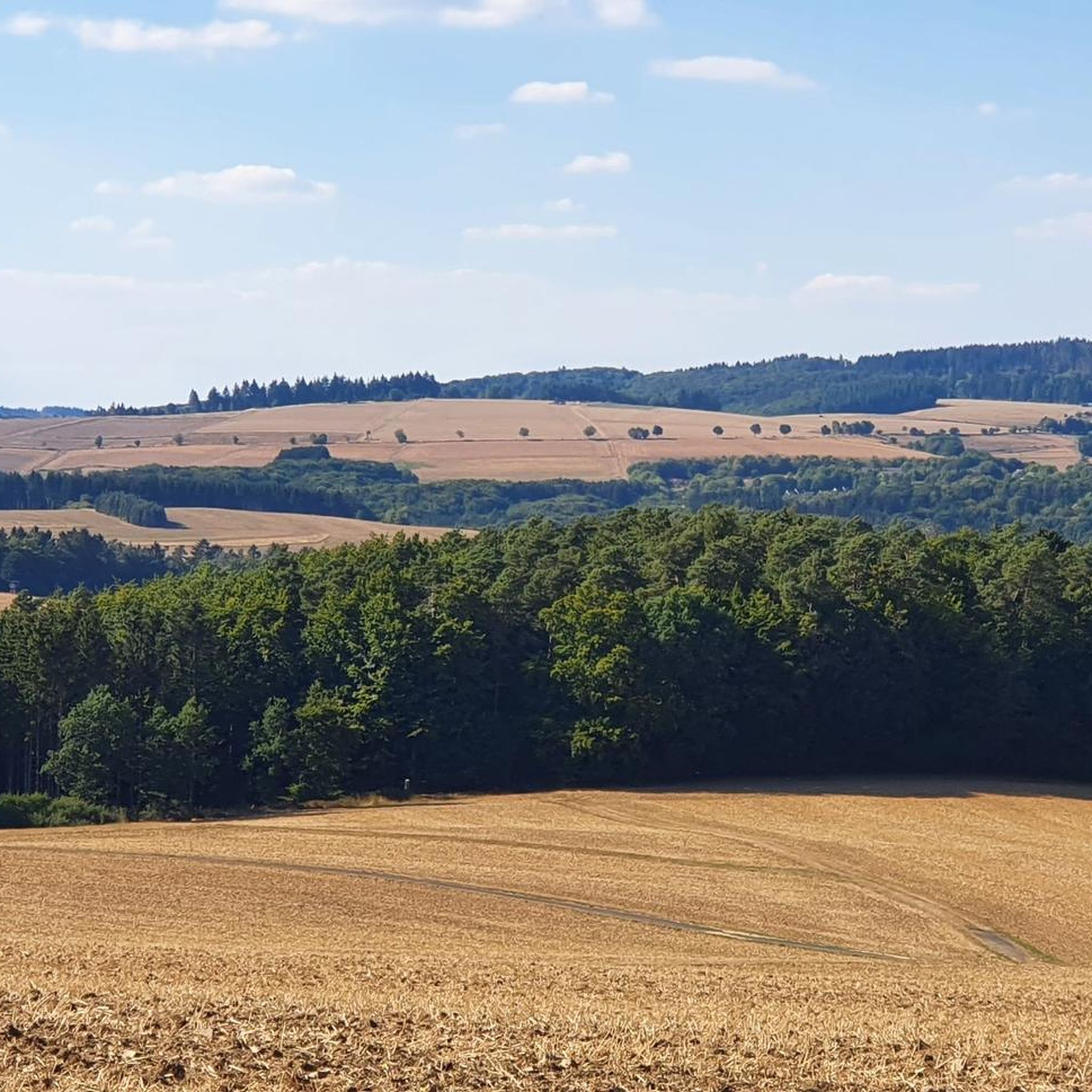
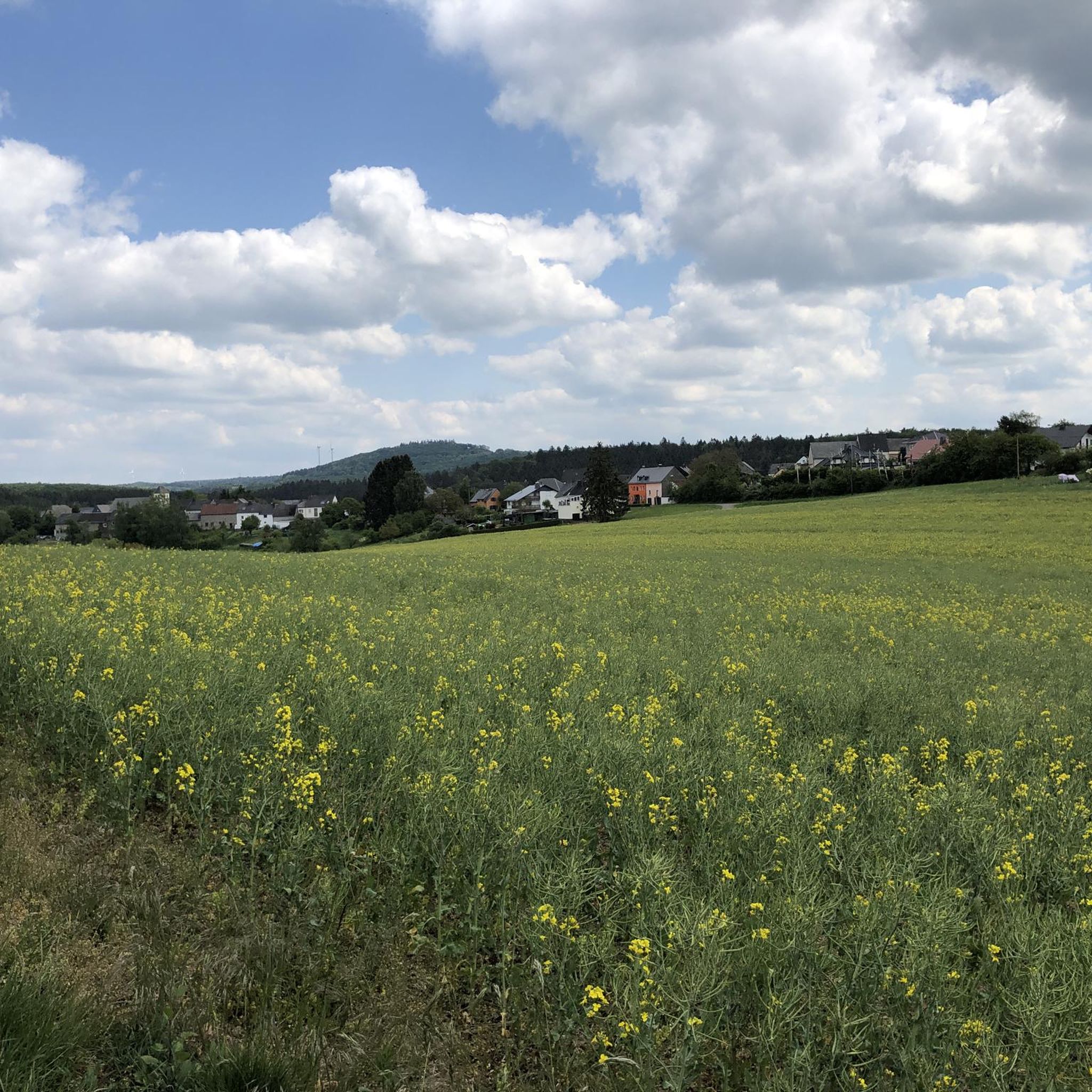
Hiking around Höchstberg offers a diverse experience within the Volcanic Eifel region of Rhineland-Palatinate, Germany. The area is characterized by its distinctive volcanic landscape, featuring volcanic cones, maars, and basalt formations. Höchstberg mountain itself stands at 616.4 meters, providing elevated perspectives. Several streams, including the Ahlsbach and Eppertsbach, originate here, and natural bodies of water like Jungfer Pond and Heilbachsee are integrated into many hiking routes.
Best hiking trails around Höchstberg
- The most popular hiking route is Playhouse by the Lake – Heilbachsee loop from Uersfeld, a 4.7 miles (7.6 km) trail that takes 2 hours 4 minutes to complete, circling the scenic Heilbachsee lake.
- Another top favourite among local hikers is Jungfer Pond – Maiden Pond loop from Höchstberg, a moderate 7.3 miles (11.7 km) path. This route explores the area around Jungfer Pond, offering views of the Eifel landscape.
- Local hikers also love the Balance Course Playground – Playhouse by the Lake loop from Uersfeld, a 5.8 miles (9.3 km) trail leading through the varied Eifel landscape, often completed in about 2 hours 36 minutes.
- Hiking around Höchstberg is defined by its volcanic landscape, maars, and basalt formations, with routes often incorporating streams and natural lakes. The network offers options for different ability levels, from easy strolls to more challenging treks.
- The routes in Höchstberg are highly rated by the komoot community with an average score of 4.6 stars from over 5,000 reviews. More than 18,000 hikers have used komoot to explore Höchstberg's varied terrain.
Last updated: June 28, 2026
4.7
(65)
222
hikers
7.59km
02:04
110m
110m
Moderate hike. Good fitness required. Easily-accessible paths. Suitable for all skill levels.
4.5
(12)
31
hikers
11.7km
03:07
130m
130m
Moderate hike. Good fitness required. Easily-accessible paths. Suitable for all skill levels.

Sign up for free
5.0
(4)
27
hikers
9.25km
02:36
180m
180m
Moderate hike. Good fitness required. Easily-accessible paths. Suitable for all skill levels.
4.4
(5)
43
hikers
6.40km
01:46
110m
110m
Easy hike. Great for any fitness level. Easily-accessible paths. Suitable for all skill levels.
4.6
(11)
29
hikers
4.95km
01:21
70m
70m
Easy hike. Great for any fitness level. Easily-accessible paths. Suitable for all skill levels.
Get access to more routes and recommendations from other explorers.
Sign up for free
Already have an account?
Our route recommendations are based on thousands of hikes, rides, and runs completed by other people on komoot.
Start today with a free account
Your next adventure awaits.
Login or Signup
Tips from the Community

Very beautiful artificial lake created, for big and small, what
1
0

From 13:00 o'clock many people are out and about when the sun ☀️ shines
0
0

A true paradise stretches out on the edge of the village of Ulmen on a plateau beneath the Steimelskopf, where a volcano once erupted with a tremendous bang, forming a deep crater with a maar lake, which now serves as a renowned bird sanctuary. The exact age of the Jungferweiher lake cannot be determined, but its morphological shape suggests it is several hundred thousand years old. In early modern times, the Lords of Ulmen used the lake as a fishpond for carp breeding, until it gradually silted up over time, and the residents of Ulmen harvested peat from the former maar for heating purposes. However, in 1942, the decision was made to flood the area again by damming the Ulmener Bach to secure the drinking water supply for the Cochem-Zell district. Today, the Jungferweiher lake, located at an altitude of 428 meters above sea level, covers an area of approximately 170,000 square meters with a depth of 0.8 meters. The pond, along with the Ulmener Maar, is protected for its rare flora and fauna. Many endangered species, such as the snipe and the meadow pipit, breed in the reed-rich banks, while ospreys have been observed hunting. Migratory birds such as cranes, teals, and great grey shrikes roost in the meadows near the Ulmener Jungferweiher every year. Therefore, a walk along the approximately 3-kilometer loop is a must, especially during the migration periods in spring and autumn. At the bird observatory on the western bank, you can observe the birds in their natural habitat. Nowadays, a wide variety of fish species thrive in the shallow waters of the Ulmener Weiher, which can be fished from a fishing pier on the southern bank. Swimming and other water sports are prohibited, however. Fishing permits are issued by the local municipal administration in Ulmen. Since 2023, the Ulmener Maar Tunnel has connected the Jungferweiher underground to the Ulmener Maar. A visit to the 126-metre-long tunnel is highly recommended!
7
0

It's a really beautiful lake
1
0

Bird watching point on the left (western) bank of the Jungferweiher
1
0

For brave adventurers. With a little luck, you might spot fish in the water and ducks on the shore.
0
0
Beautiful partially paved path between natural flora and fauna.
0
0

Here at the Jungfernweiher in Ulmen you can go for a lovely walk. The Ulmener Stollen connects the Ulmener Maar with the Jungfernweiher.
3
0
Frequently Asked Questions
How many hiking trails are available in Höchstberg?
Höchstberg offers a wide variety of hiking experiences, with over 670 trails available. These range from easy strolls to more challenging treks, catering to all fitness levels.
What kind of terrain can I expect when hiking in Höchstberg?
The terrain in Höchstberg is characterized by its distinctive volcanic landscape, being part of the Volcanic Eifel region. You'll encounter volcanic cones, maars (volcanic lakes), and basalt formations. Many routes also feature picturesque streams like the Ahlsbach and Eppertsbach, and natural bodies of water such as Jungfer Pond and Heilbachsee.
Are there easy hiking trails suitable for beginners or casual walkers?
Yes, Höchstberg has plenty of options for beginners and those looking for a relaxed walk. Over 330 of the trails are rated as easy. For example, the Sonneneck – Wooden Bear Sculpture loop from Höchstberg is an easy 5.4 km path, and the Balance Course Playground loop from Uersfeld is another accessible 6.4 km option.
Are there any circular hiking routes in Höchstberg?
Many of the popular hiking routes in Höchstberg are circular, allowing you to start and end at the same point. A great example is the Playhouse by the Lake – Heilbachsee loop from Uersfeld, which circles the scenic Heilbachsee lake, or the Jungfer Pond – Maiden Pond loop from Höchstberg.
What are some natural features or landmarks to look out for on the trails?
Höchstberg's volcanic past means you'll find unique natural features. The mountain itself offers elevated perspectives. You might also encounter the basalt quarry, streams like the Ahlsbach, and natural lakes such as Jungfer Pond and Heilbachsee. For specific points of interest, consider visiting the Rausch Waterfall or the Boos Eifel Observation Tower for panoramic views.
Are there any family-friendly hiking options in Höchstberg?
Yes, Höchstberg offers several family-friendly routes. Many of the easier trails are suitable for families, often featuring manageable elevation gains and accessible paths. The presence of natural lakes and playgrounds along some routes, like the Balance Course Playground – Playhouse by the Lake loop from Uersfeld, makes them enjoyable for children.
Can I bring my dog on the hiking trails in Höchstberg?
Generally, dogs are welcome on hiking trails in Höchstberg. The natural landscape with its streams and lakes provides a great environment for walks with your canine companion. However, it's always advisable to keep dogs on a leash, especially in nature reserves or areas with livestock, and to check local regulations for specific trails.
What do other hikers enjoy most about hiking in Höchstberg?
The komoot community highly rates the hiking experience in Höchstberg, with an average score of 4.6 stars from over 5,000 reviews. Hikers often praise the diverse volcanic landscape, the well-integrated natural lakes, and the variety of trails suitable for different skill levels. The scenic beauty and the peaceful atmosphere are frequently highlighted.
Are there any viewpoints offering panoramic views of the Eifel landscape?
Absolutely. The Höchstberg mountain itself, at 616.4 meters, provides elevated perspectives of the surrounding Eifel scenery. For a dedicated viewpoint, the Boos Eifel Observation Tower is a notable spot to take in the panoramic views of the Volcanic Eifel region.
What is the best time of year to go hiking in Höchstberg?
Höchstberg offers enjoyable hiking experiences throughout much of the year. Spring brings blooming nature, while summer provides warm weather for exploring lakes. Autumn showcases vibrant fall foliage across the volcanic landscape. Even winter hiking can be beautiful, though some trails might require more appropriate gear due to potential snow or ice.
Are there any places to eat or find accommodation near the hiking trails?
While the guide focuses on trails, the region around Höchstberg, being part of the Volcanic Eifel, has various villages and towns that offer amenities. You can typically find cafes, pubs, and accommodation options in nearby communities, especially in larger towns within the Eifel region. It's recommended to check local listings for specific establishments.
Where can I find parking for the hiking trails in Höchstberg?
Parking is generally available at trailheads or in the nearby villages that serve as starting points for hikes, such as Uersfeld or Höchstberg itself. Look for designated parking areas near popular attractions or trail access points. Specific parking details often accompany individual route descriptions on komoot.
Most popular routes around Höchstberg
Most popular attractions around Höchstberg

Get inspired with the komoot mobile app


Explore more
Browse the best Hikes in other regions.
