The best MTB trails in Untere Wümme
4.6
(507)
2,021
riders
263
rides
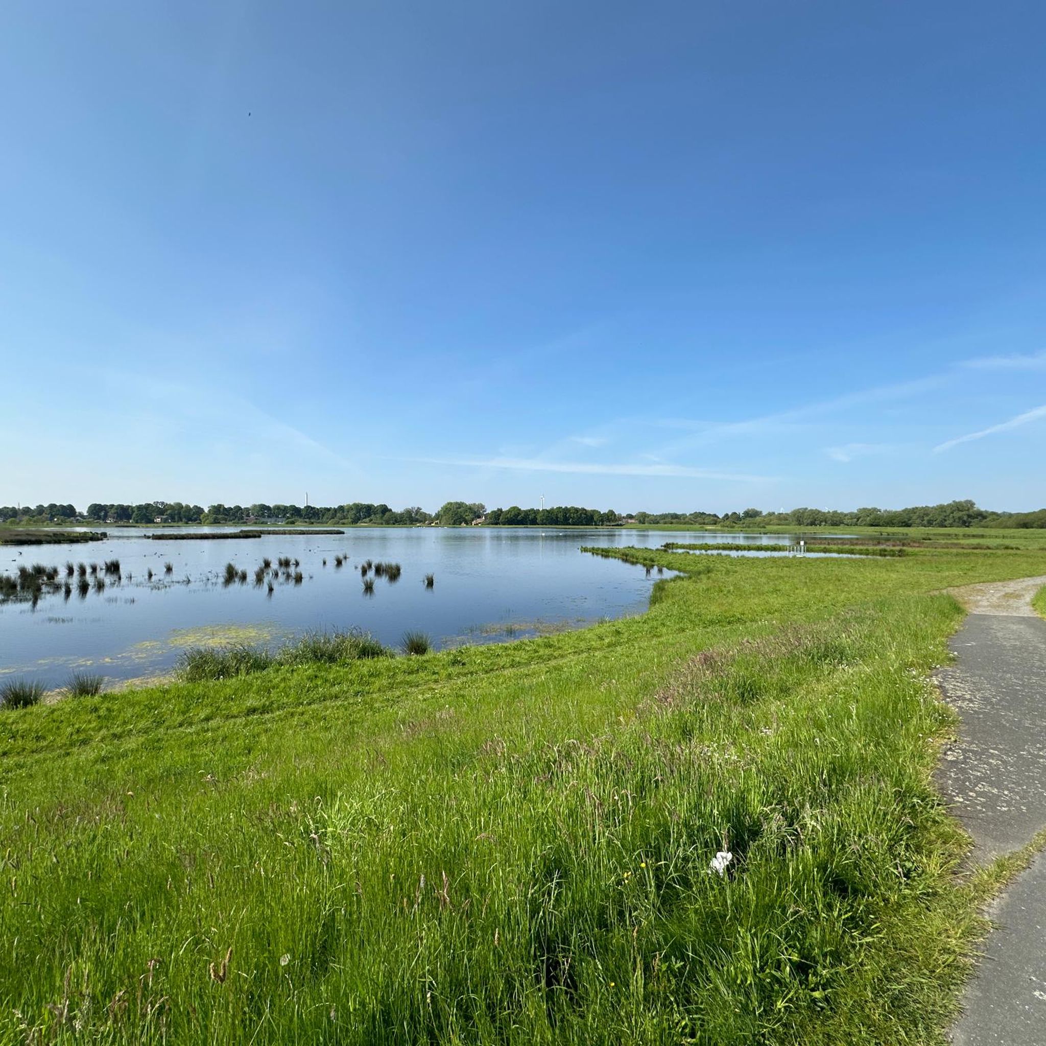
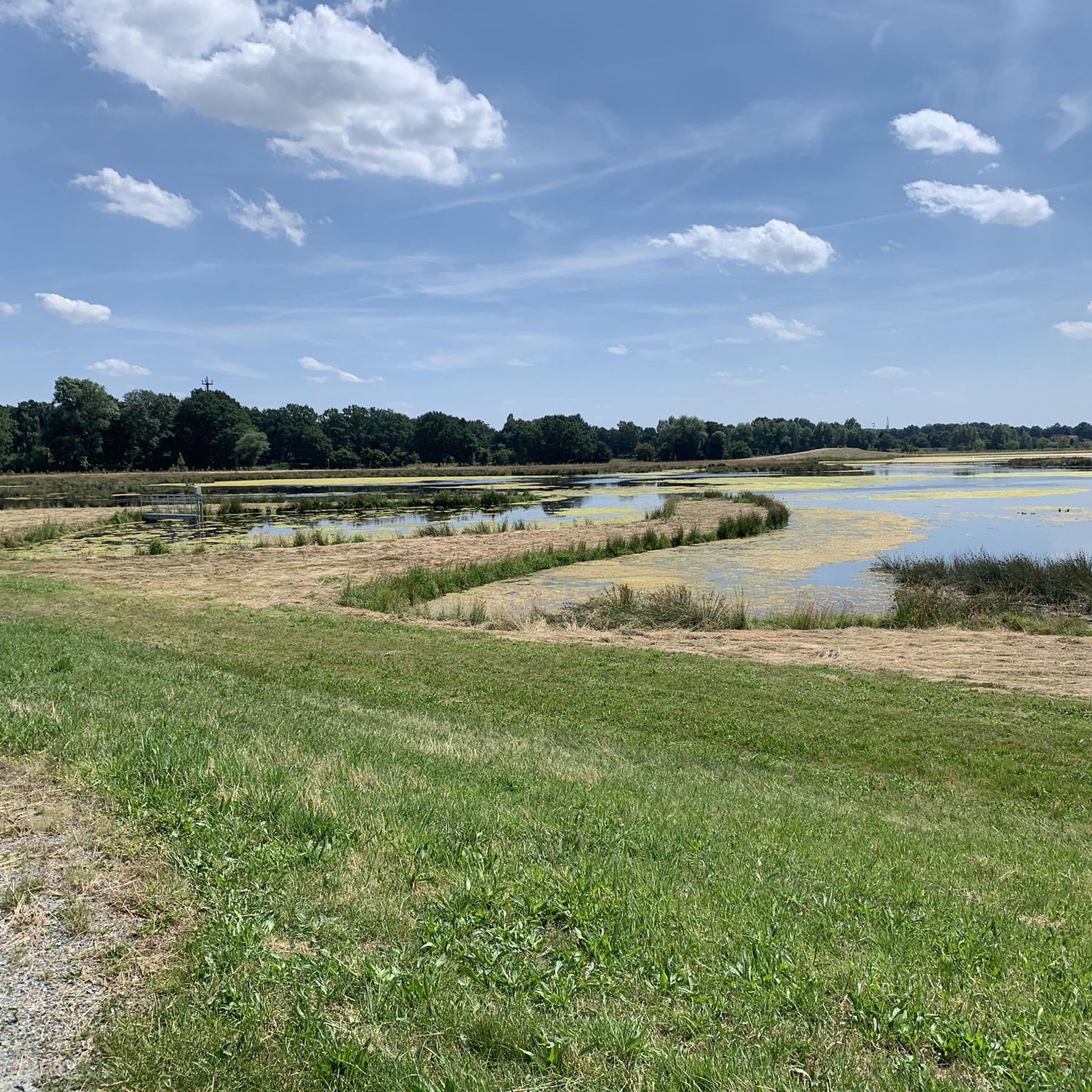
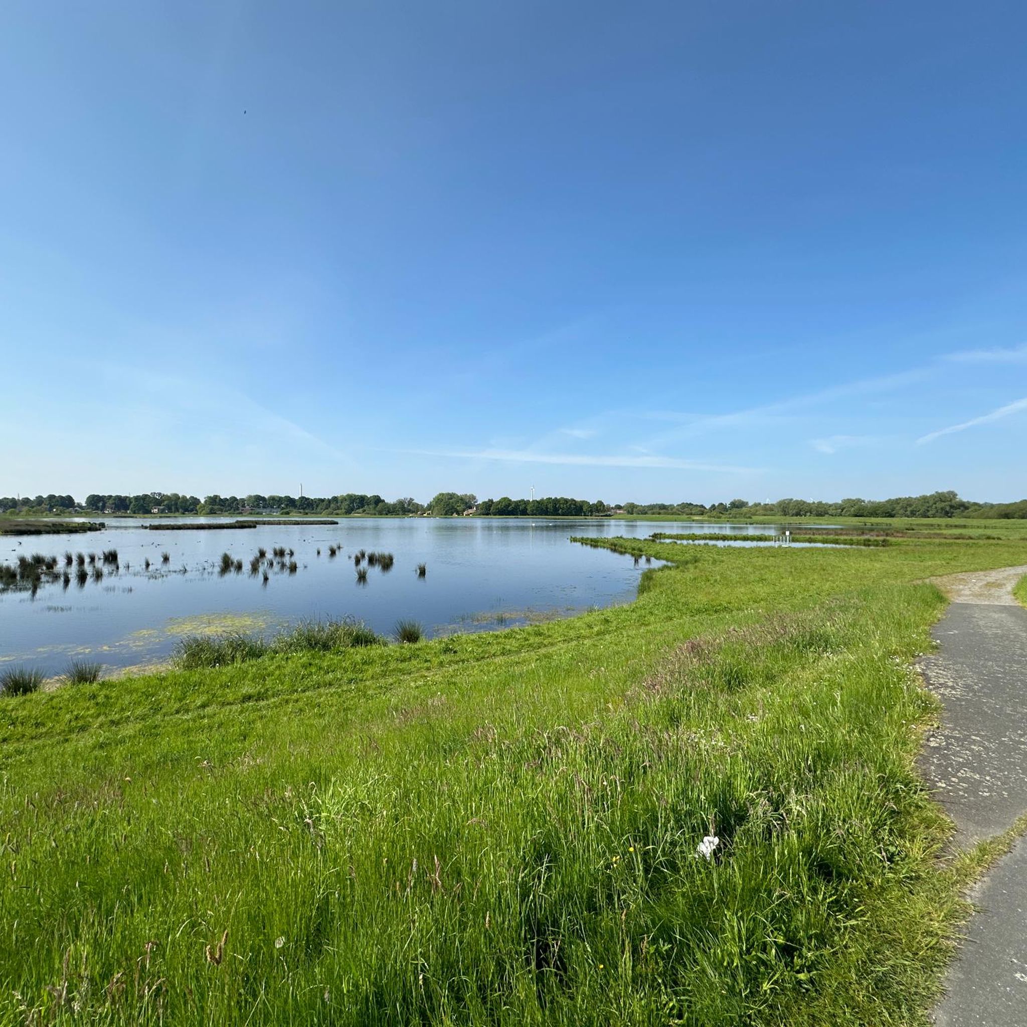
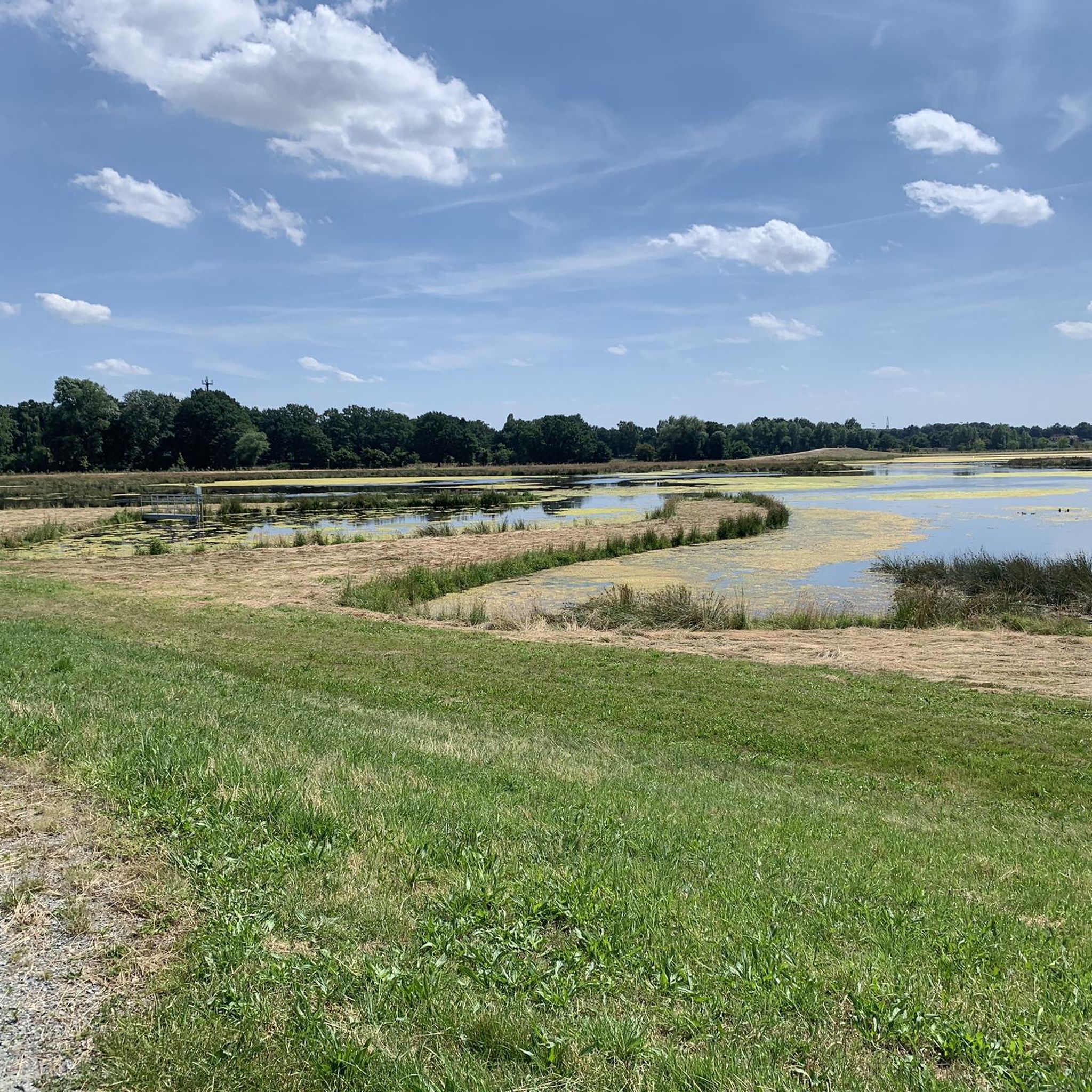
Mountain bike trails in Untere Wümme are characterized by a flat to gently rolling landscape, ideal for cross-country and gravel biking. The region is defined by the meandering Wümme River, extensive floodplains, and meadows, particularly within the Blockland area. Prominent dikes, such as the Blockland river dike, offer elevated routes with views of the surrounding wetlands. This natural reserve provides accessible paths for various skill levels without extreme technical demands.
Best mountain bike trails in Untere Wümme
- The most popular…
Last updated: July 15, 2026
4.5
(15)
49
riders
45.5km
03:00
230m
230m
Moderate mountain bike ride. Good fitness required. Advanced riding skills necessary.
5.0
(3)
21
riders
Moderate mountain bike ride. Good fitness required. Advanced riding skills necessary.

Sign up for free
5.0
(1)
20
riders
45.7km
02:31
90m
90m
Moderate mountain bike ride. Good fitness required. Suitable for all skill levels.
5.0
(1)
7
riders
31.5km
01:56
30m
30m
Moderate mountain bike ride. Great for any fitness level. Advanced riding skills necessary.
5.0
(2)
9
riders
36.9km
02:14
40m
40m
Moderate mountain bike ride. Good fitness required. Advanced riding skills necessary.
Get access to more routes and recommendations from other explorers.
Sign up for free
Already have an account?
Our route recommendations are based on thousands of hikes, rides, and runs completed by other people on komoot.
Start today with a free account
Your next adventure awaits.
Login or Signup
Tips from the Community

It's always lovely to cycle through nature and observe the animals, whether it's spring, summer, autumn or winter.
0
0


One of the many ways to cross the Wümme. It's a bit off the beaten track and therefore usually a quiet spot for a break.
1
0
Wümme always beautiful in the morning
0
0


Be careful with roots and tight corners
0
0

Here you can walk along the river and enjoy nature.
0
0
Frequently Asked Questions
How many mountain bike trails are available in Untere Wümme?
The Untere Wümme region offers a wide selection of routes, with over 270 mountain bike trails available on komoot. These range from easy, leisurely rides to more challenging moderate routes, ensuring options for various skill levels.
What kind of terrain and difficulty can I expect on mountain bike trails in Untere Wümme?
The terrain in Untere Wümme is generally flat to gently rolling, making it ideal for cross-country and gravel biking. You'll find paths along dikes, through expansive meadows, and alongside the meandering Wümme River. While there are no steep mountain climbs, the routes offer varied surfaces. Out of the 276 available trails, 96 are rated as easy, 174 as moderate, and 6 as difficult, providing options for all experience levels.
Are there any family-friendly mountain bike trails in Untere Wümme?
Yes, the predominantly flat and gently rolling landscape of Untere Wümme is well-suited for family outings. Many of the 96 easy trails are perfect for families, offering scenic rides along dikes and through meadows without significant technical demands. These routes allow riders of all ages to enjoy the natural beauty of the region.
Can I bring my dog on the mountain bike trails in Untere Wümme?
Many trails in the Untere Wümme region are suitable for cycling with dogs, especially the wider paths along dikes and through open meadows. As much of the area is a nature reserve, it's important to keep dogs on a leash to protect local wildlife and respect other users. Always check specific trail regulations before you go.
What natural features or landmarks can I see along the mountain bike trails?
The trails in Untere Wümme offer views of the meandering Wümme River, expansive floodplains, and the distinctive Blockland area. You can encounter various natural features and man-made landmarks. Notable points of interest include the Kuhsiel Lock, the scenic Wümme bend in Blockland, and the Höftdeich Pumping Station. These provide excellent opportunities to experience the region's unique ecosystem and history.
Are there any circular mountain bike routes in Untere Wümme?
Yes, many of the mountain bike trails in Untere Wümme are designed as circular routes, allowing you to start and end at the same point. For example, the Wümme River – Wümme North Arm loop from Lilienthal is a moderate 31.6 km trail that offers a great circular experience through the river landscape.
What is the best time of year for mountain biking in Untere Wümme?
The Untere Wümme region is enjoyable for mountain biking throughout much of the year. Spring and autumn offer pleasant temperatures and vibrant scenery. Summer is also popular, though some paths might be busier. Due to the tidal influence on the lower Wümme and the extensive floodplains, some areas might be wet or muddy after heavy rainfall, especially in winter. Always check local conditions before heading out.
Are there places to stop for refreshments or food along the trails?
Yes, particularly along the Blockland dike, you'll find various farm cafes and guesthouses that invite visitors to take a break and enjoy local refreshments. These establishments are often popular stops for cyclists and provide a chance to experience local hospitality.
How long are the mountain bike trails in Untere Wümme typically?
Trail lengths vary significantly, catering to different preferences. For instance, the Wümme North Arm – Hilly Singletrack Trail loop from Borgfeld is a moderate 33.9 km route, while the Broad Water – Melchers Hütte on the Hamme loop from Ritterhude covers 45.7 km. You can find routes ranging from shorter, easy rides to longer, more extensive tours.
What do other mountain bikers say about the trails in Untere Wümme?
The mountain bike trails in Untere Wümme are highly rated by the komoot community, with an average score of 4.6 stars from over 480 reviews. Riders often praise the serene natural surroundings, the well-maintained dike paths, and the accessibility for various fitness levels, making it a popular destination for enjoying the outdoors.
Is public transport or parking available near the mountain bike trails?
The Untere Wümme region is generally accessible. Many routes, especially those in the Blockland area, are reachable by public transport from Bremen. Additionally, various starting points, such as Schleuse Kuhsiel, offer parking facilities, making it convenient for those traveling by car. It's advisable to check specific starting points for detailed parking and public transport information.
Most popular routes in Untere Wümme
Most popular attractions in Untere Wümme

Get inspired with the komoot mobile app


Explore more
Browse the best MTB trails in other regions.
