The best running trails in Untere Wümme
4.5
(1701)
38,416
runners
1,167
runs
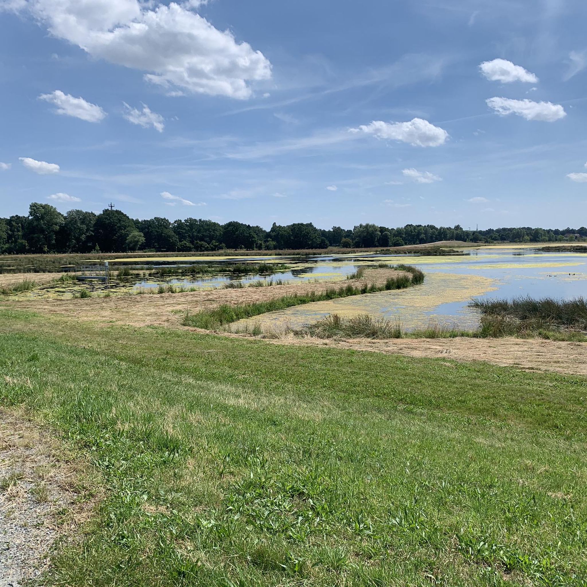
Jogging routes in Untere Wümme traverse a predominantly flat landscape characterized by the meandering Wümme River and its extensive floodplains. The region features wide meadows, elevated dike paths, and diverse natural habitats including reed beds and willow bushes. This area offers accessible paths suitable for various running intensities, providing a tranquil and scenic outdoor experience.
Best jogging routes in Untere Wümme
- The most popular jogging route is View of Tenter See – Borgfelder Deich loop from Borgfeld, a 3.7…
Last updated: July 15, 2026
4.4
(14)
90
runners
5.97km
00:37
10m
10m
Moderate run. Good fitness required. Mostly paved surfaces. Suitable for all skill levels.
5.0
(2)
49
runners
Easy run. Great for any fitness level. Mostly paved surfaces. Suitable for all skill levels.

Sign up for free
5.0
(1)
50
runners
26.8km
02:46
30m
30m
Hard run. Very good fitness required. Mostly paved surfaces. Suitable for all skill levels.
32
runners
8.99km
00:56
10m
10m
Moderate run. Good fitness required. Mostly paved surfaces. Suitable for all skill levels.
5.0
(2)
25
runners
11.0km
01:11
20m
20m
Moderate run. Good fitness required. Mostly paved surfaces. Suitable for all skill levels.
Get access to more routes and recommendations from other explorers.
Sign up for free
Already have an account?
Our route recommendations are based on thousands of hikes, rides, and runs completed by other people on komoot.
Start today with a free account
Your next adventure awaits.
Login or Signup
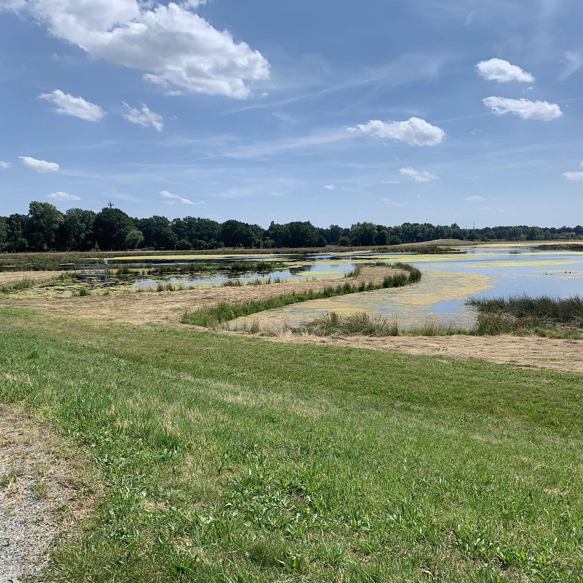
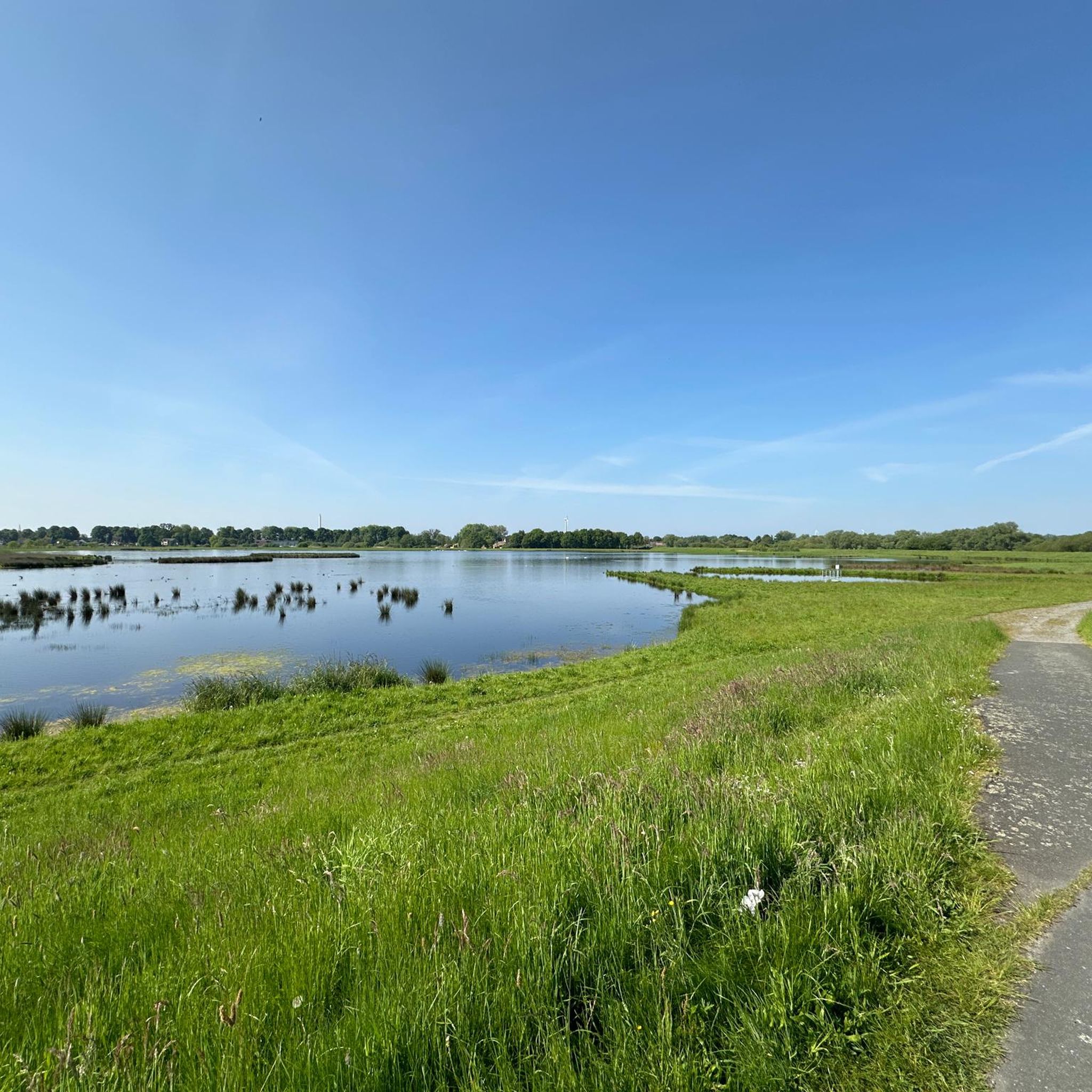
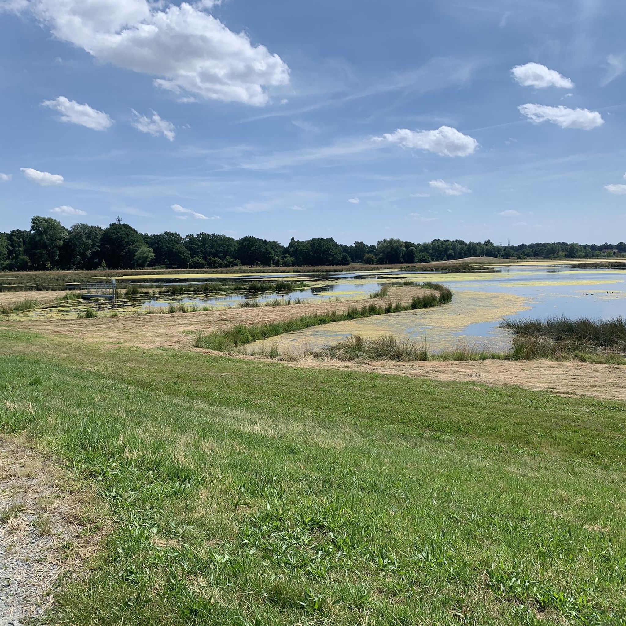
Tips from the Community

On the Wümme, there are currently two main operational points for shipping: the Dammsiel lock and the Kuhsiel lock, while other historical weir structures have been replaced by ecological ramps. Kuhsiel lock: A self-service lock in Kuhsiel (Lilienthal), which was renovated in 1997. It is available from April to November, daily from 07:00 to 22:00 (lunch break 13:00–14:00) and has a passage width of 3.50 meters. However, it is temporarily closed for the 2026 season.
0
0

Nice to ride the bike!
4
0

How much oomph do you need for a highlight?
0
1

The bridge monument "Jan Reiners Bridge" is located on the Jan Reiners cycle path and commemorates the historic railway bridge that once crossed the Wümme. The Jan Reiners Railway, a narrow-gauge railway, ran between Bremen and Tarmstedt from 1900 to 1956. Part of the original bridge has been preserved as a monument and is now a popular resting place for cyclists and hikers on the cycle path. The original bridge had to make way for the construction of a bypass in 2008. However, a fragment of the bridge was erected as a monument on the initiative of the Borgfeld Citizens' Association to commemorate the historical significance of the Jan Reiners Railway.
1
0
The Wümme is a 121-kilometer-long river in northern Germany that flows through the federal states of Lower Saxony and Bremen. Its source is in the Lüneburg Heath, and it eventually flows into the Lesum, which in turn flows into the Weser. The Wümme partially marks the border between Lower Saxony and Bremen and is the main tributary of the Lesum. Together with the Lesum, the Wümme reaches a total length of 131.2 kilometers. The Wümme flows through several towns and villages, including Lauenbrück, Scheeßel, Rotenburg an der Wümme, Ottersberg, Fischerhude, Lilienthal and Bremen. It is known for its clean water quality and the picturesque landscapes along its course, which are characterized by wide meadows and floodplains.
3
0

Telescopeium Lilienthal Observatory
3
0

Although there are no trains running here anymore, the stations used to be more beautiful
0
0
Frequently Asked Questions
What kind of terrain can I expect on running routes in Untere Wümme?
The running routes in Untere Wümme are predominantly flat, characterized by the meandering Wümme River and its extensive floodplains. You'll find well-maintained multi-use paths, elevated dike paths (Wümmedeich) offering panoramic views, and trails through wide meadows and diverse natural habitats like reed beds and willow bushes. The terrain is generally easy to moderate, making it suitable for various running intensities.
Are there easy running routes suitable for beginners in Untere Wümme?
Yes, Untere Wümme offers many easy running routes perfect for beginners. Out of over 1100 routes, more than 150 are classified as easy. These paths are generally accessible and provide a tranquil experience without significant elevation changes. A good example is the View of Tenter See – Borgfelder Deich loop from Borgfeld, which is a moderate 3.7-mile (6.0 km) trail with minimal elevation gain.
Can I bring my dog on the running trails in Untere Wümme?
Many of the running trails in Untere Wümme are suitable for dogs, especially those through open meadows and along dike paths. However, as parts of the region are nature reserves, it's important to keep dogs on a leash to protect local wildlife, particularly ground-nesting birds. Always check local signage for specific regulations in certain areas.
Are the jogging routes in Untere Wümme suitable for families?
Yes, the predominantly flat and well-maintained paths in Untere Wümme make many jogging routes family-friendly. The serene environment and opportunities for nature observation, such as spotting grey herons or fish otters, can enhance the experience for families. Routes through areas like the Blockland, with its charming cultural landscape, are particularly pleasant for a family outing.
What natural features or landmarks can I see while jogging in Untere Wümme?
While jogging in Untere Wümme, you can experience diverse natural features and landmarks. Highlights include the expansive Borgfelder Wümmewiesen Nature Reserve, the meandering Wümme River, and the elevated Wümmedeich paths offering panoramic views. You might also pass by historic structures like the Dammsiel Lock or the Kuhsiel Lock, and enjoy the pastoral scenery of the Blockland.
Are there any specific viewpoints along the running routes?
Yes, the elevated Wümmedeich paths provide excellent panoramic viewpoints over the flat, green landscape, including the Borgfelder Wümmewiesen. While not explicitly on a route, observation towers like the one at Hollerdeich offer impressive vistas over the nature reserve, which can be incorporated into a longer run or visited nearby.
Is parking available near the running routes in Untere Wümme?
Yes, parking is generally available at various access points to the running routes throughout Untere Wümme. Many popular starting points, especially near villages or recreational areas, offer designated parking facilities. It's advisable to check specific route descriptions on komoot for detailed parking information for your chosen trail.
How can I reach the jogging trails in Untere Wümme using public transport?
Untere Wümme, bordering Bremen, is accessible via public transport. Depending on your starting point, you can use local bus services from Bremen to reach areas like Borgfeld, Lilienthal, or parts of the Blockland, which serve as gateways to the running trails. Check local transport schedules for the most convenient connections to your desired route.
Are there places to stop for refreshments along the running routes?
Yes, especially in areas like the Blockland, you'll find charming Hofcafés (farm cafes) and traditional inns (Gaststätten) such as Gaststätte Dammsiel. These establishments offer opportunities for refreshment and relaxation, often with scenic views of the Wümme River, making them perfect spots for a break during or after your run.
What do other runners enjoy the most about jogging in Untere Wümme?
The running routes in Untere Wümme are highly rated by the komoot community, with an average score of 4.5 stars from over 1500 reviews. Runners frequently praise the tranquil and scenic outdoor experience, the well-maintained paths, and the diverse natural landscapes, including the Wümme River and the expansive Wümmewiesen. The flat terrain is also often highlighted as ideal for uninterrupted runs.
Are there any long-distance running options in Untere Wümme?
Yes, Untere Wümme offers options for longer runs. For example, the Dammsiel Lock – Kuhsiel Lock loop from Grambker Feldmarksee is a challenging 16.6-mile (26.8 km) path that explores the river landscape between two historic locks, providing a substantial distance for endurance training.
What is the best time of year to go running in Untere Wümme?
Untere Wümme is suitable for running year-round, but each season offers a unique experience. Spring brings blooming marsh marigolds and active birdlife. Summer provides lush green landscapes. Autumn showcases beautiful colors, and in winter, the flooded meadows can transform the landscape into a serene, unique environment. The well-maintained paths generally remain accessible.
Most popular routes in Untere Wümme
Most popular attractions in Untere Wümme

Get inspired with the komoot mobile app


Explore more
Browse the best Running Trails & Routes in other regions.
