Naturschutzgebiet Untere Seeveniederung Und Over Plack
Naturschutzgebiet Untere Seeveniederung Und Over Plack
The best road cycling routes in Naturschutzgebiet Untere Seeveniederung Und Over Plack
4.5
(850)
11,549
riders
12
rides
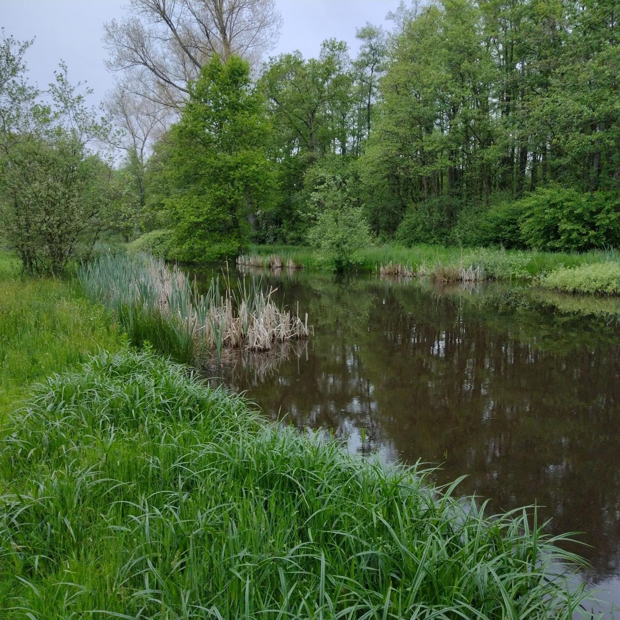
Road cycling in Naturschutzgebiet Untere Seeveniederung Und Over Plack is characterized by its flat lowland landscape within the Elbe marsh, offering accessible routes. The region is crisscrossed by the Seeve river, the Ashäuser Mühlenbach, and numerous water channels. This terrain includes species-rich wet meadows, large lakes, and areas of dry grasslands, providing a diverse environment for cyclists. Routes often feature mostly paved surfaces, suitable for road cycling.
Best road cycling routes in Naturschutzgebiet Untere Seeveniederung Und Over Plack
- The most…
Last updated: September 28, 2026
4.4
(27)
97
riders
37.8km
01:34
50m
50m
Moderate road ride. Great for any fitness level. Some segments of this route may be unpaved and difficult to ride.
5.0
(1)
22
riders
Hard road ride. Very good fitness required. Some segments of this route may be unpaved and difficult to ride.

3.0
(1)
17
riders
53.2km
02:19
310m
310m
Moderate road ride. Good fitness required. Mostly well-paved surfaces and easy to ride.
46
riders
79km
03:06
120m
120m
Moderate road ride. Good fitness required. Mostly well-paved surfaces and easy to ride.
13
riders
49.0km
02:07
140m
140m
Moderate road ride. Good fitness required. Some segments of this route may be unpaved and difficult to ride.
Get access to more routes and recommendations from other explorers.
Already have an account?
Our route recommendations are based on thousands of hikes, rides, and runs completed by other people on komoot.
Start today with a free account
Your next adventure awaits.
Popular around Naturschutzgebiet Untere Seeveniederung Und Over Plack
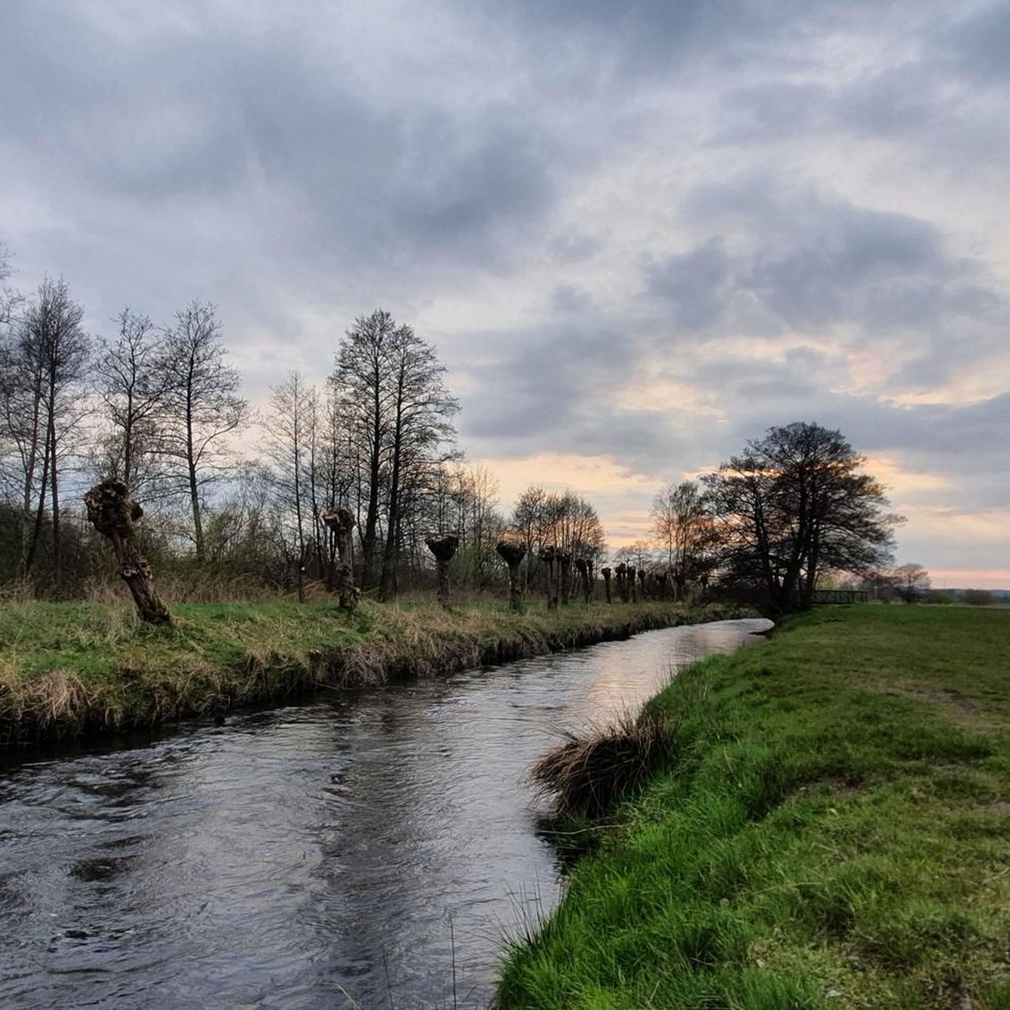
Cycling in Naturschutzgebiet Untere Seeveniederung Und Over Plack
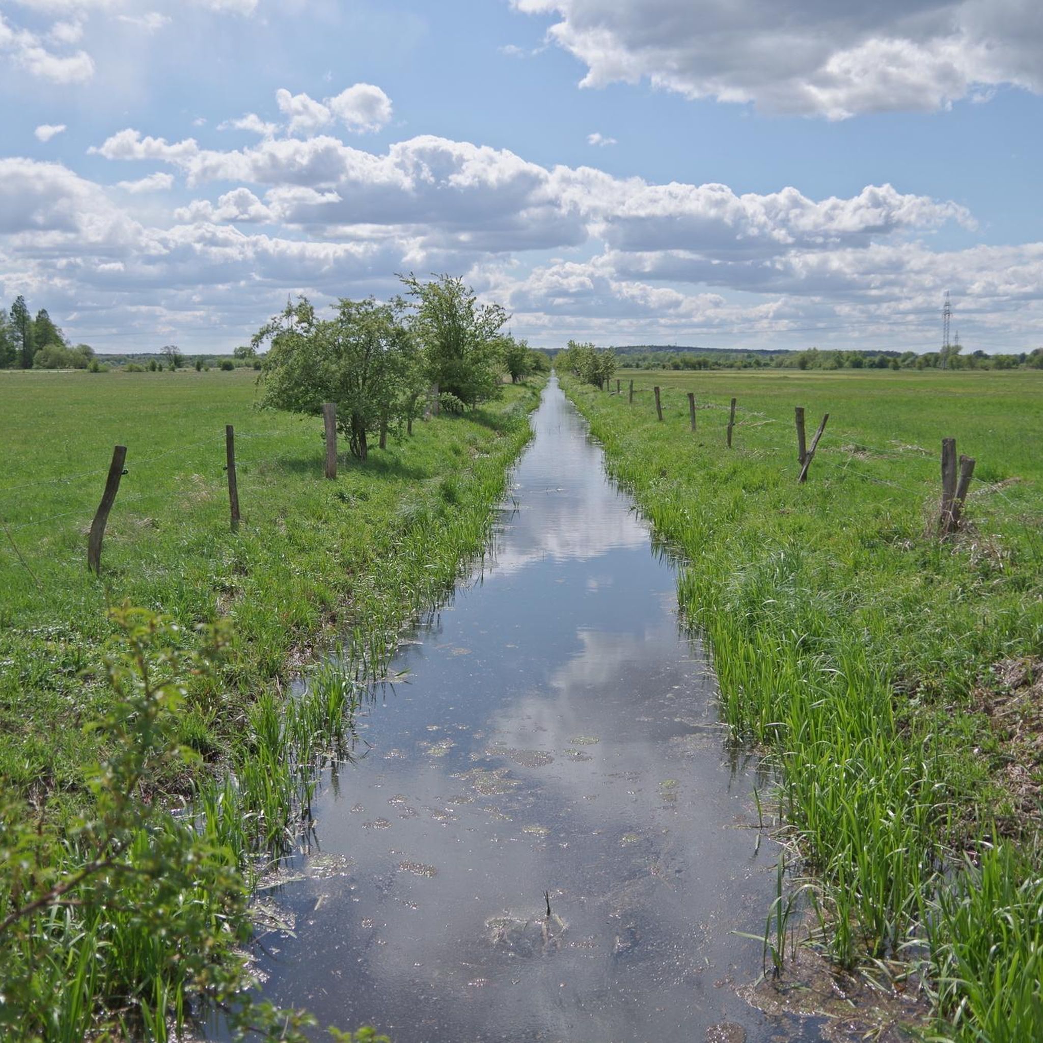
Running Trails in Naturschutzgebiet Untere Seeveniederung Und Over Plack
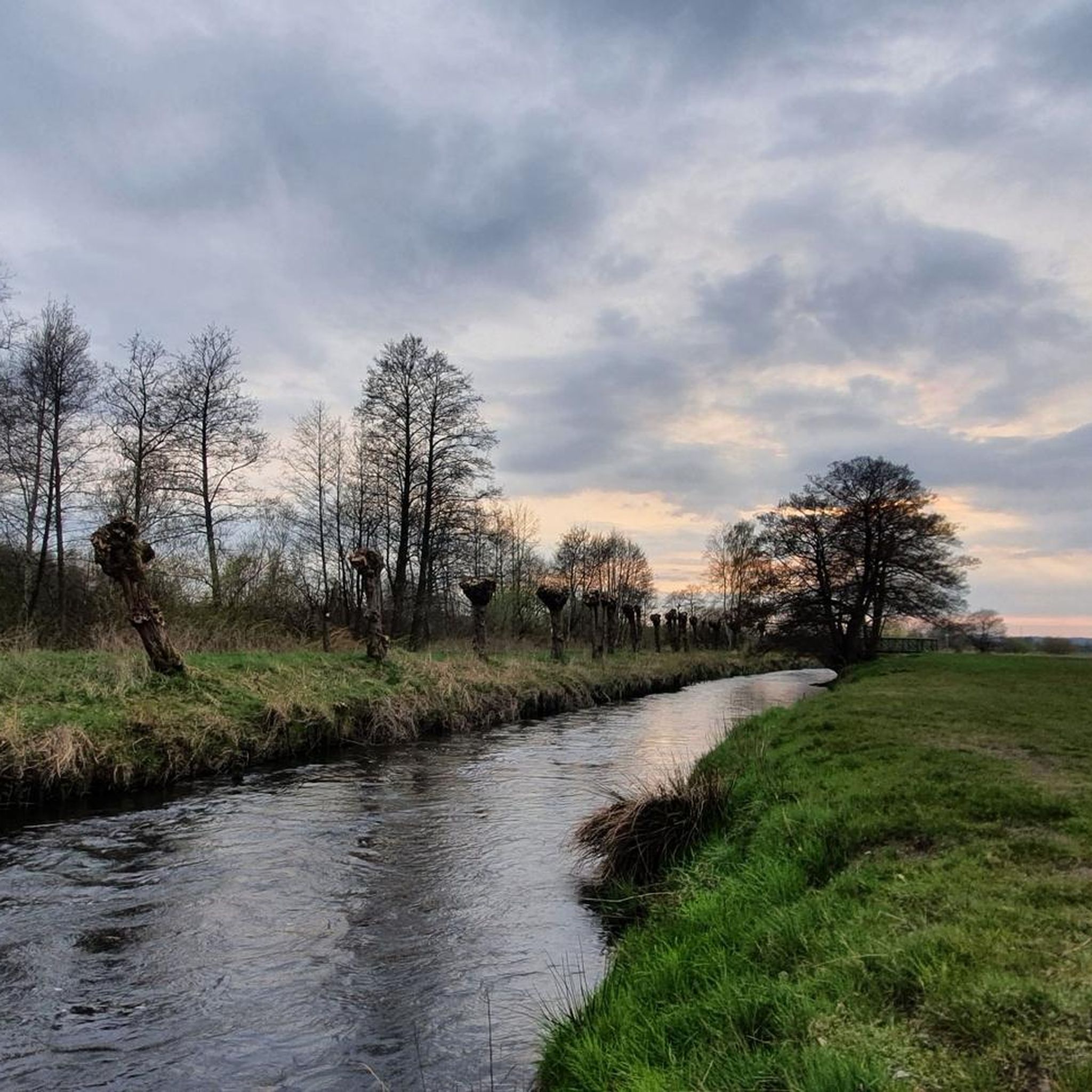
Hiking in Naturschutzgebiet Untere Seeveniederung Und Over Plack
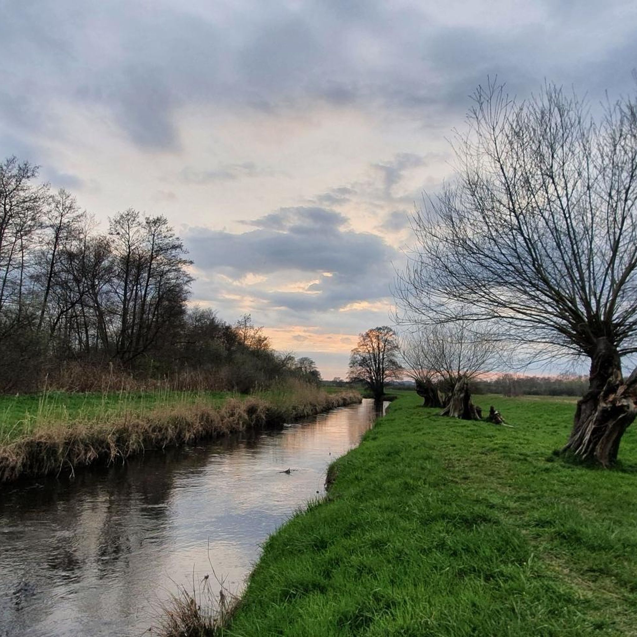
MTB Trails in Naturschutzgebiet Untere Seeveniederung Und Over Plack
Gravel biking in Naturschutzgebiet Untere Seeveniederung Und Over Plack
Tips from the Community

Always beautiful to look at.
0
0
It's always busy here at the Hoopter Fähranleger ferry terminal. There's also a great snack stand.
0
0
You can get into the water very well here at the bathing spot. Also for children, as the water is very shallow at the beginning.
0
0

This is a wonderful place to relax.
0
0

With its red battlements, the water tower looks like a fortress tower.
0
0

Very nice quiet path
0
0
Great road without traffic
0
0
Mega cool road for lots of speed
0
0
Frequently Asked Questions
How many road cycling routes are available in Naturschutzgebiet Untere Seeveniederung Und Over Plack?
There are over 10 road cycling routes available in Naturschutzgebiet Untere Seeveniederung Und Over Plack, offering diverse experiences for cyclists. The komoot community has explored more than 14 routes in the area.
What kind of terrain can I expect when road cycling in Naturschutzgebiet Untere Seeveniederung Und Over Plack?
The region is characterized by a flat lowland landscape within the Elbe marsh, crisscrossed by the Seeve river and other water channels. You'll encounter species-rich wet meadows, large lakes, and areas of dry grasslands. Routes often feature mostly paved surfaces, making them ideal for road cycling.
What are the difficulty levels of road cycling routes in the region?
Most road cycling routes in Naturschutzgebiet Untere Seeveniederung Und Over Plack are classified as moderate, with 12 such routes. There are also 2 difficult routes for those seeking a greater challenge.
What natural features or landmarks can I see along road cycling routes?
You can discover various natural features and landmarks. Notable sights include the Seeve Estuary and Seeve Sluice, the Junkernfeld chess flower meadow, and Lake Junkernfeld. The region is also known for its unique fritillary flowers and diverse birdlife.
Are there any specific viewpoints along the road cycling routes?
Yes, you can find several viewpoints. The Seevengeti Observation Platform and the Birdwatching Platform at Steller See offer excellent opportunities to observe the landscape and its abundant bird species.
What do other road cyclists enjoy the most about road cycling in Naturschutzgebiet Untere Seeveniederung Und Over Plack?
The area is highly rated by the komoot community, with an average score of 4.5 stars from over 290 reviews. Cyclists often praise the flat, accessible terrain, the scenic beauty of the Elbe marsh, and the well-maintained paths that make for enjoyable rides.
Are there any long-distance road cycling routes for experienced riders?
Yes, for experienced riders, the Elbe Dike – Moorwerder Main Dike loop from Stelle is a challenging 76.1-mile (122.5 km) route that explores an extensive dike system through the lowland landscape.
Can I find routes that combine natural scenery with cultural landmarks?
Absolutely. The St. Gertrude's Church, Pattensen – Stelle Water Tower loop from Stelle is a 32.9-mile (52.9 km) trail that leads through varied scenery and past cultural landmarks, offering a blend of nature and history.
Are there road cycling routes suitable for a moderate day trip?
For a moderate day trip, consider the Lake in the Großen Moor – Elbe Dike loop from Stelle. This 23.5-mile (37.8 km) route features the Elbe Dike and flat, open terrain, typically completed in about 1 hour 35 minutes.
What is the best time of year for road cycling in Naturschutzgebiet Untere Seeveniederung Und Over Plack?
The flat terrain makes it enjoyable for much of the year. Spring is particularly beautiful when the fritillary flowers are in bloom. The area is also a vital habitat for many bird species, making spring and autumn excellent for birdwatching while cycling.
Are there any routes that pass by significant water bodies?
Many routes in the region are crisscrossed by the Seeve river and other water channels. The View of the Seeve River – St. Gertrude's Church, Pattensen loop from Stelle offers scenic views of the Seeve River, and you'll also encounter large lakes like the Jägermeisterbrack and Lake Junkernfeld.
Are there any road cycling routes that explore the marsh railway embankment?
Yes, the Altengamme Marsh Railway Embankment – Zollenspieker Ferry loop from Stelle is a moderate 79.4-mile (127.8 km) route that allows you to cycle along the historic marsh railway embankment.
Most popular routes in Naturschutzgebiet Untere Seeveniederung Und Over Plack
Most popular attractions in Naturschutzgebiet Untere Seeveniederung Und Over Plack

Get inspired with the komoot mobile app


Explore more
Browse the best Road cycling routes in other regions.
