The best road cycling routes in Hardt
4.5
(1642)
18,227
riders
282
rides
Road cycling routes in Hardt are situated within the Rheinisch-Bergischer Kreis, a region characterized by its natural park landscape. The area features a mix of rolling hills, river valleys, and former rail trails, providing varied terrain for cyclists. Elevations are generally moderate, with routes often connecting historical sites and scenic viewpoints.
Best road cycling routes in Hardt
- The most popular road cycling route is Bensberg Palace – Hoffnungsthal loop from Hardt, a 13.1 miles (21.1 km) trail that takes…
Last updated: October 7, 2026
4.8
(5)
61
riders
20.6km
01:00
210m
210m
Easy road ride. Great for any fitness level. Mostly well-paved surfaces and easy to ride.
5.0
(1)
53
riders
42.9km
02:14
660m
660m
Moderate road ride. Good fitness required. Mostly well-paved surfaces and easy to ride.

5.0
(4)
33
riders
23.4km
01:18
320m
320m
Moderate road ride. Good fitness required. Mostly well-paved surfaces and easy to ride.
4.9
(10)
90
riders
51.5km
02:22
500m
500m
Moderate road ride. Good fitness required. Mostly well-paved surfaces and easy to ride.
29
riders
42.3km
02:01
470m
470m
Moderate road ride. Good fitness required. Mostly well-paved surfaces and easy to ride.
Get access to more routes and recommendations from other explorers.
Already have an account?
Our route recommendations are based on thousands of hikes, rides, and runs completed by other people on komoot.
Start today with a free account
Your next adventure awaits.
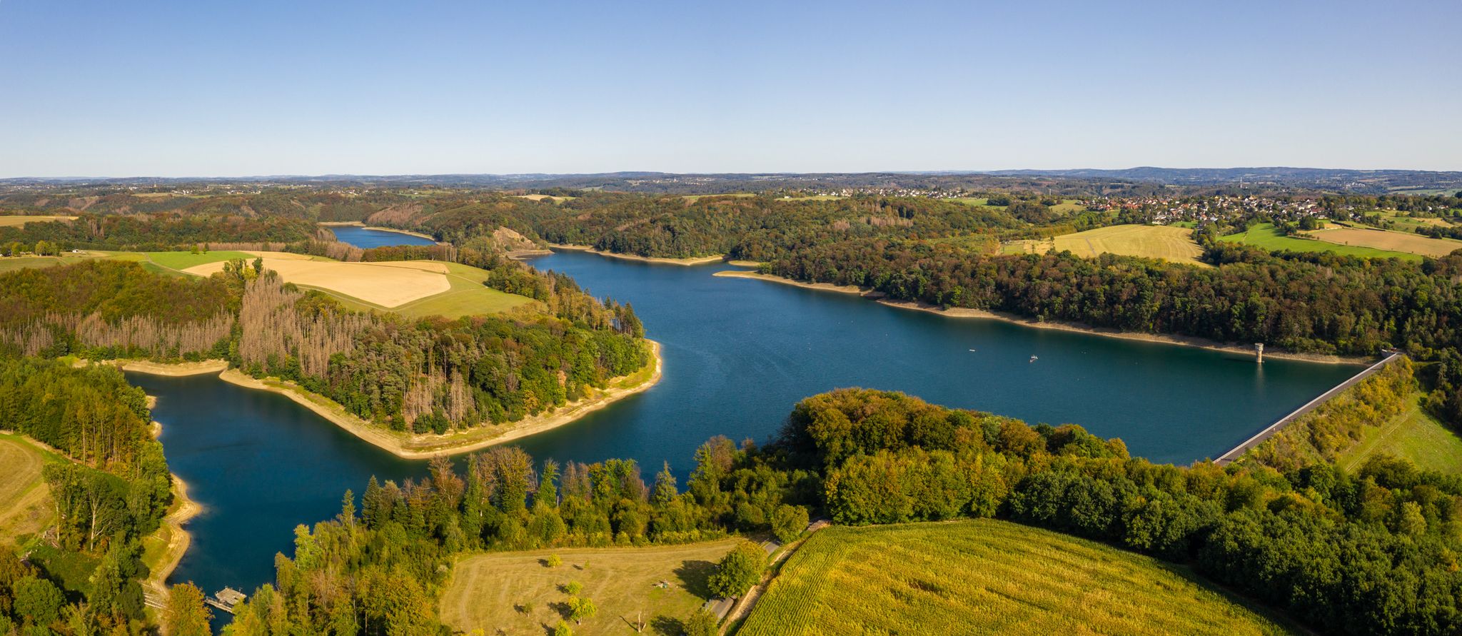
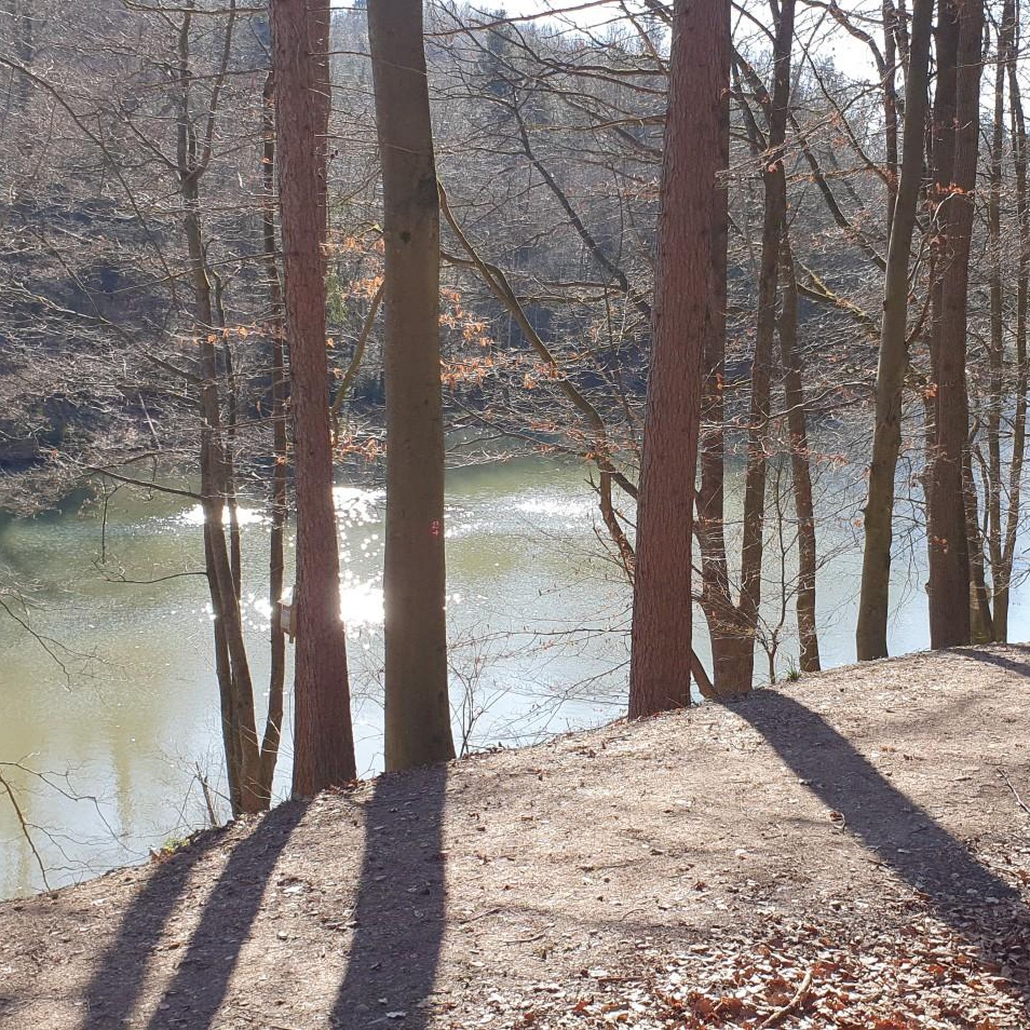
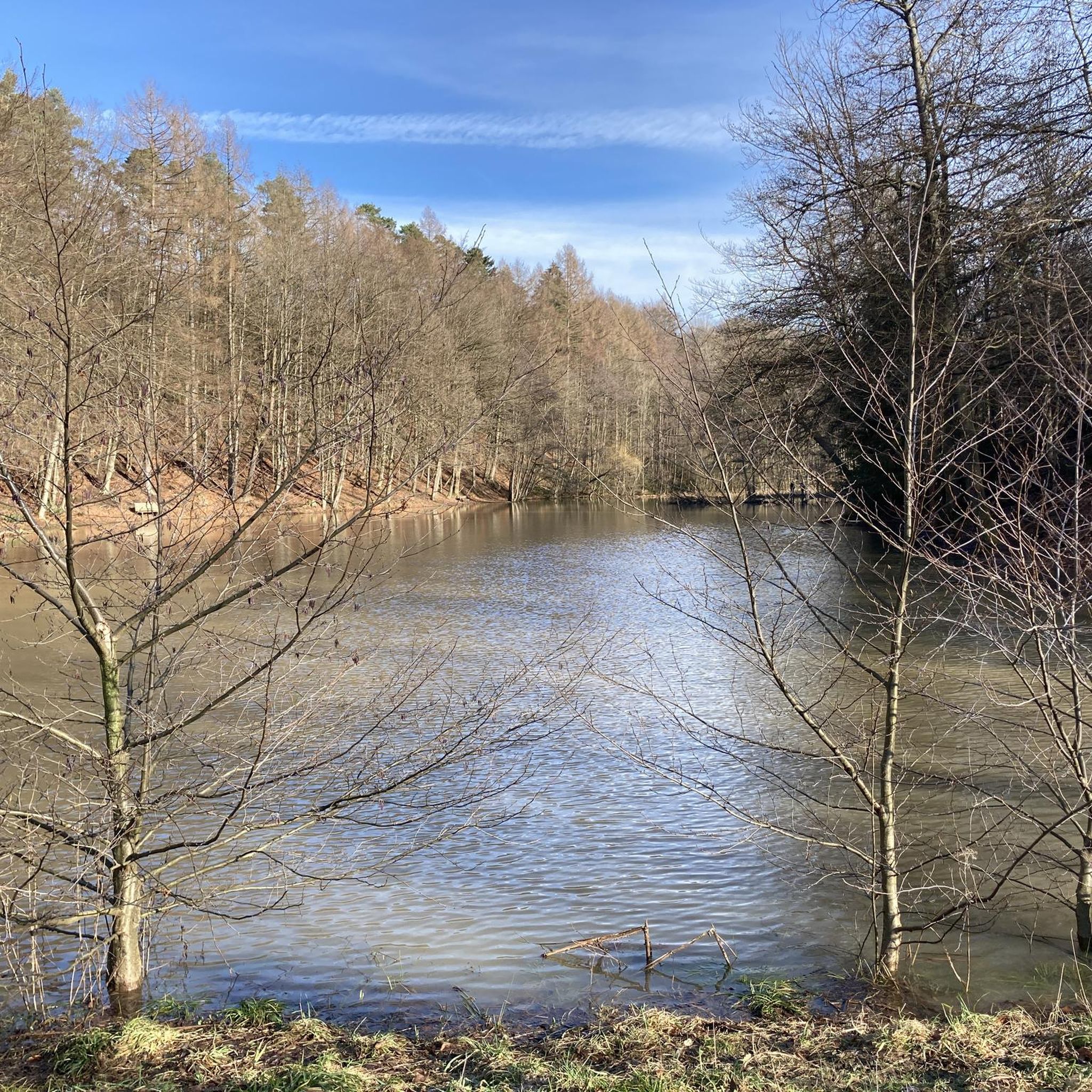
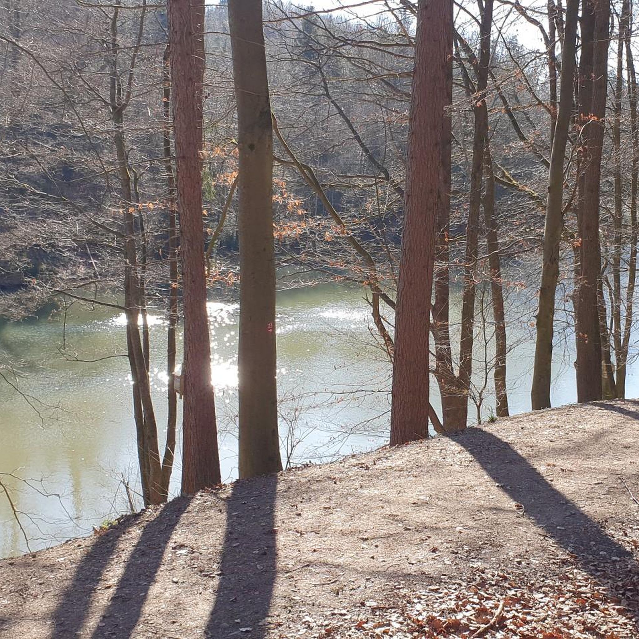
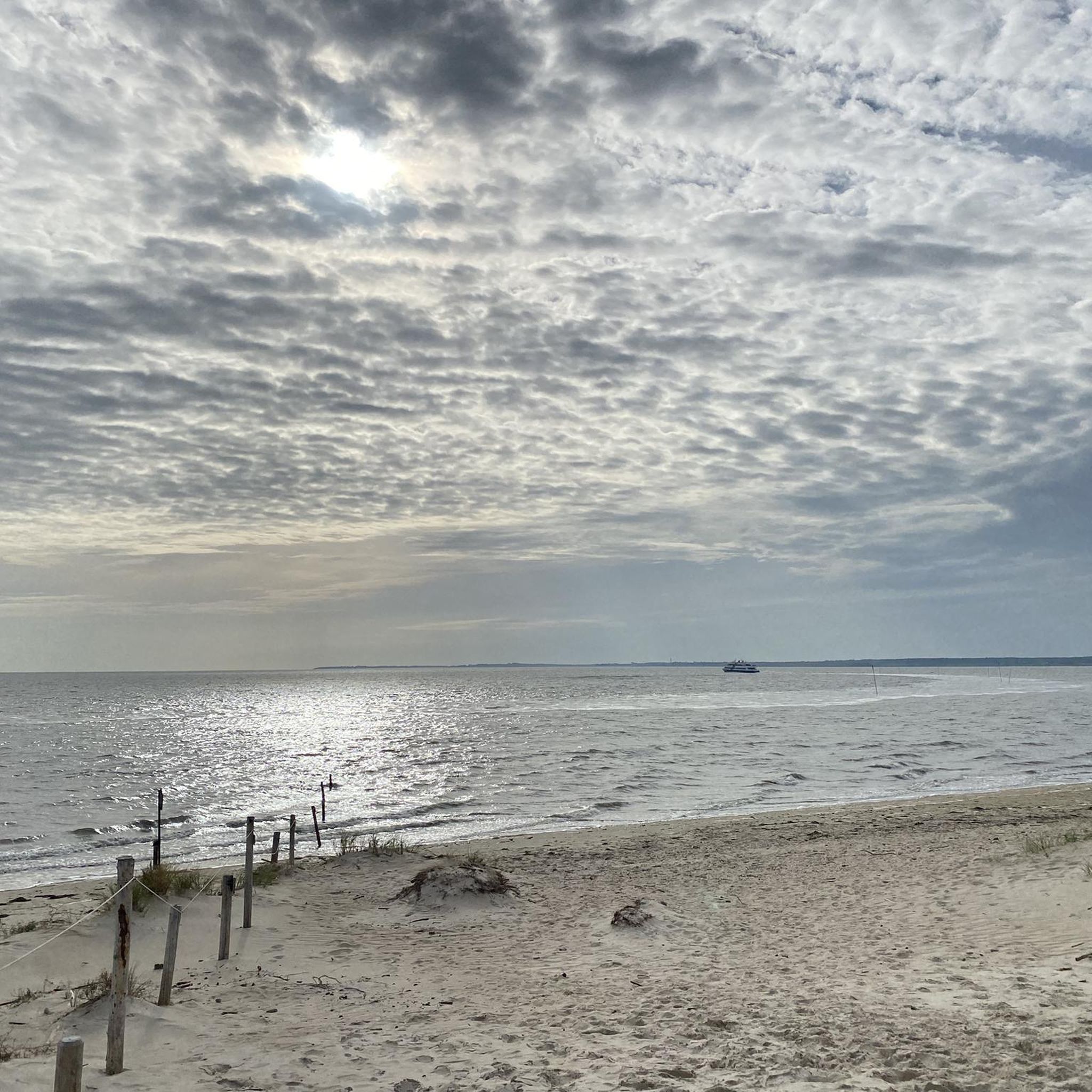
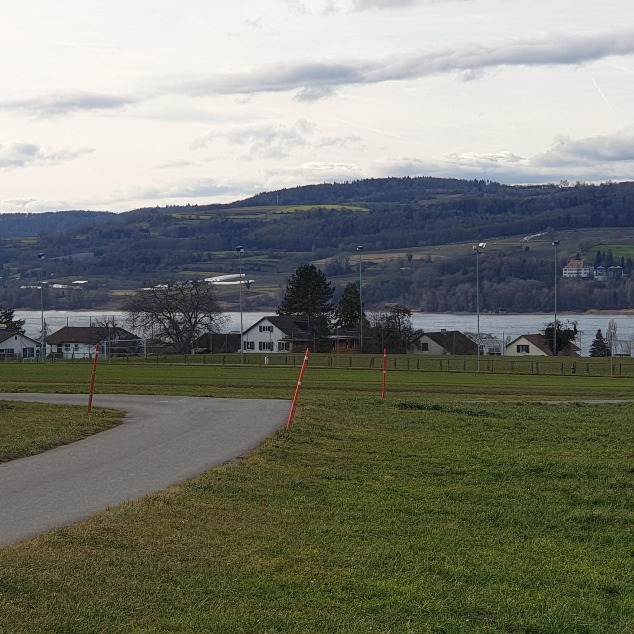
Other adventures in Hardt

Tips from the Community

yes, a highlight, nice to ride, great view
0
0

short carbohydrates loaded and a nice chat with other cyclists
0
0

From the Sülz river, the newly paved road climbs steeply through wooded terrain 🥵
1
0
The Sülztalbahn was a historic railway line in the Bergisches Land region, running along the Sülz valley and representing an important connection for passenger and freight traffic, especially in the 19th and 20th centuries. It connected towns and villages around the Sülz valley, including Bergisch Gladbach, Rösrath, and Overath, to the wider rail network.
0
0

At Hauptstraße 310-312 in Rösrath, you can view the historic site of the Reusch Villas (exterior only). The Karl Reusch Villa (built in 1896) and the Kurt Reusch Villa (built in 1894) stand together in a large English-style park with mature trees. These two villas are among a total of four villas owned by the Reusch brothers. The other pink villa can still be admired on "Am Hammer," a street branching off the main street.
1
0

Here is a great panorama on the way to Hoffnungsthal.
0
0

Find yourself a fast rear wheel and head down to the Schmitzebud - coffee & cake ☕🥮
0
0

Hottest street in Cologne and surroundings. Here I can still get the 13 around nicely
0
0
Frequently Asked Questions
How many road cycling routes are available in Hardt?
Hardt offers a wide selection of road cycling routes, with over 280 tours available. These include 66 easy routes, 172 moderate routes, and 50 difficult routes, catering to various skill levels.
What kind of terrain can I expect on road cycling routes in Hardt?
The road cycling routes in Hardt, located within the Rheinisch-Bergischer Kreis, feature a diverse landscape of rolling hills, scenic river valleys, and sections along former rail trails. Elevations are generally moderate, providing varied terrain for cyclists.
Are there road cycling routes suitable for beginners in Hardt?
Yes, Hardt has 66 easy road cycling routes perfect for beginners. These routes often feature moderate elevations and pleasant scenery, allowing for a comfortable introduction to road cycling in the region. An example is the Bensberg Palace – Hoffnungsthal loop from Hardt, which is 13.1 miles (21.1 km) long with manageable climbs.
Are there challenging road cycling routes for experienced riders in Hardt?
Absolutely. For experienced road cyclists, Hardt offers 50 difficult routes with more significant climbs and longer distances. An example of a challenging route is the Bergisches Land Rail Trail – Balkantrasse loop from Hardt, which covers 68.8 miles (110.8 km) with over 1,100 meters of elevation gain.
What interesting landmarks or attractions can I see along the road cycling routes in Hardt?
Many road cycling routes in Hardt connect historical sites and scenic viewpoints. You can pass by significant landmarks such as Bensberg Palace and Altenberg Cathedral. The region also features natural attractions like the Cadets' Pond in the Milchborn Valley and the Milchbornbach Stream, offering picturesque stops along your ride.
Are there any loop road cycling routes in Hardt?
Yes, many road cycling routes in Hardt are designed as loops, allowing you to start and finish at the same point. Examples include the Bärbroich – Cols of Cologne – Bensberg Castle loop from Grube Cox and the View of Altenberg Cathedral – Bensberg Castle loop from Hardt, providing convenient options for exploration.
What do other road cyclists enjoy most about cycling in Hardt?
The road cycling routes in Hardt are highly rated by the komoot community, with an average score of 4.5 stars from over 1,200 reviews. Cyclists often praise the varied terrain, which includes rolling hills and scenic valleys, as well as the connections to historical landmarks like Bensberg Palace and Altenberg Cathedral.
Can I find routes that incorporate former rail trails in Hardt?
Yes, Hardt's road cycling network includes routes that utilize former rail trails, offering smooth and often flatter sections. These trails provide a unique cycling experience, connecting different parts of the region's natural park landscape.
What is the longest road cycling route available in Hardt?
One of the longest routes is the Bergisches Land Rail Trail – Balkantrasse loop from Hardt, which spans 68.8 miles (110.8 km). This route is classified as difficult and involves significant elevation changes, making it suitable for long-distance riders.
Are there any natural monuments to see while cycling in Hardt?
Yes, Hardt features several natural monuments that can be explored. You might encounter the Remarkable Root Trees or the tranquil Maiden's Pond. These natural highlights add to the scenic beauty of the cycling experience.
What is the typical duration for a moderate road cycling route in Hardt?
Moderate road cycling routes in Hardt vary in length and duration. For example, the Bärbroich – Cols of Cologne – Bensberg Castle loop from Grube Cox is 14.6 miles (23.4 km) and typically takes around 1 hour 17 minutes to complete, while the Bensberg Palace – Steep Ascent from Immekeppel loop from Grube Weiß is 32.0 miles (51.5 km) and takes about 2 hours 21 minutes.
Most popular routes in Hardt
Most popular attractions in Hardt

Get inspired with the komoot mobile app


Explore more
Browse the best Road cycling routes in other regions.
