The best running trails in Hardt
4.4
(2546)
25,366
runners
1,210
runs
Jogging routes in Hardt are situated on a plateau at the eastern edge of Germany's Black Forest, offering an elevated location ideal for outdoor activities. The region features varied terrain, including extensive forest paths and clear trails, providing a natural and serene environment for runners. These routes often incorporate dense woodlands of fir and pine trees, characteristic of the Black Forest, ensuring shade and clean air. Hardt's position within this area provides access to a network of trails suitable for…
Last updated: September 29, 2026
4.6
(40)
243
runners
9.59km
01:04
160m
160m
Moderate run. Good fitness required. Mostly paved surfaces. Suitable for all skill levels.
4.2
(6)
73
runners
16.1km
01:44
190m
190m
Hard run. Very good fitness required. Mostly paved surfaces. Suitable for all skill levels.

4.0
(3)
45
runners
7.17km
00:52
160m
160m
Moderate run. Good fitness required. Mostly paved surfaces. Suitable for all skill levels.
4.0
(8)
90
runners
8.43km
00:57
130m
130m
Moderate run. Good fitness required. Mostly paved surfaces. Suitable for all skill levels.
5.0
(3)
33
runners
Moderate run. Good fitness required. Mostly paved surfaces. Suitable for all skill levels.
Get access to more routes and recommendations from other explorers.
Already have an account?
Our route recommendations are based on thousands of hikes, rides, and runs completed by other people on komoot.
Start today with a free account
Your next adventure awaits.
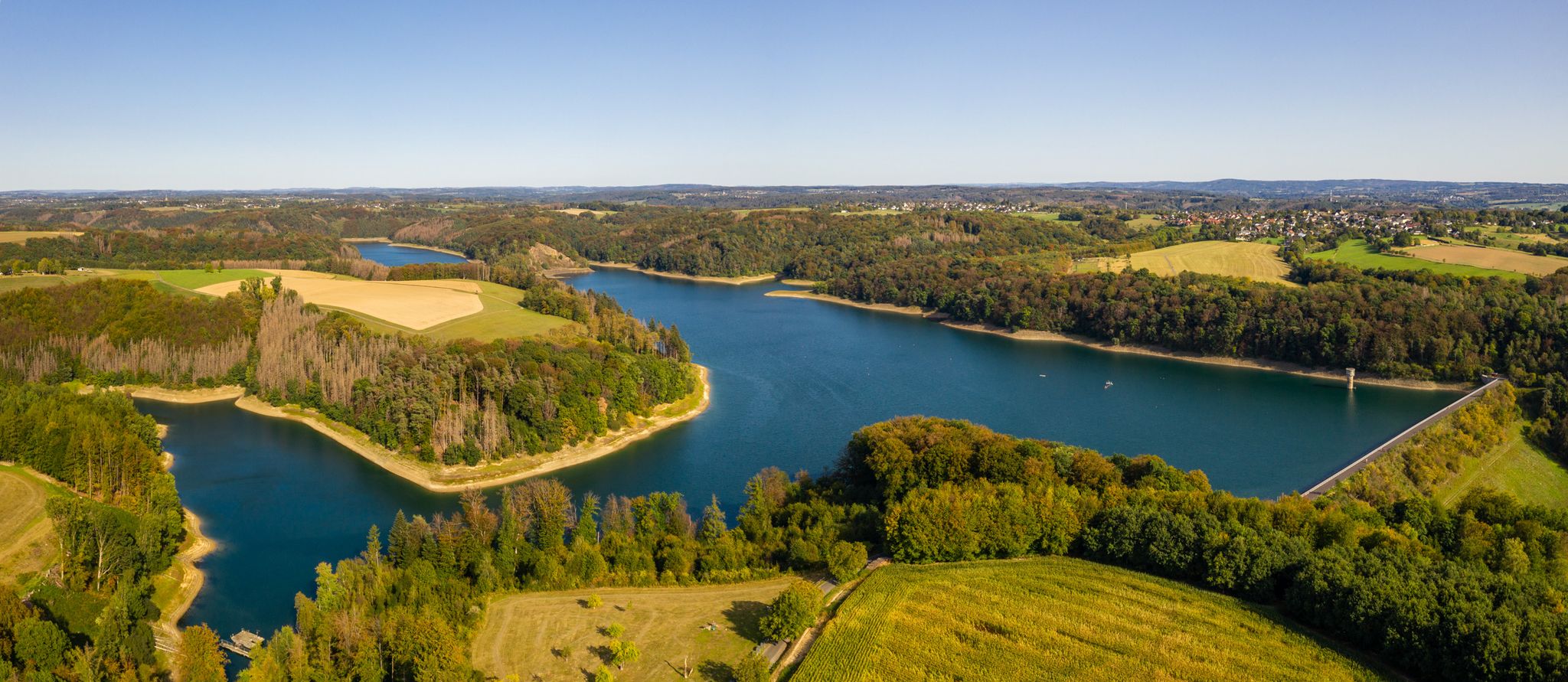
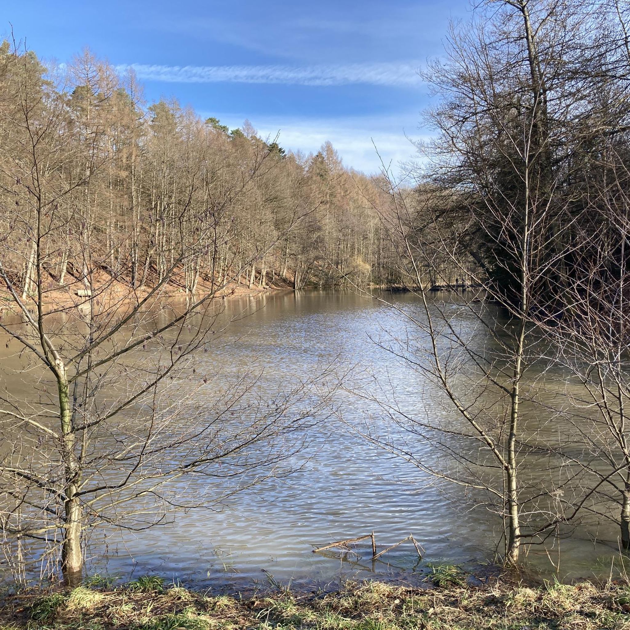
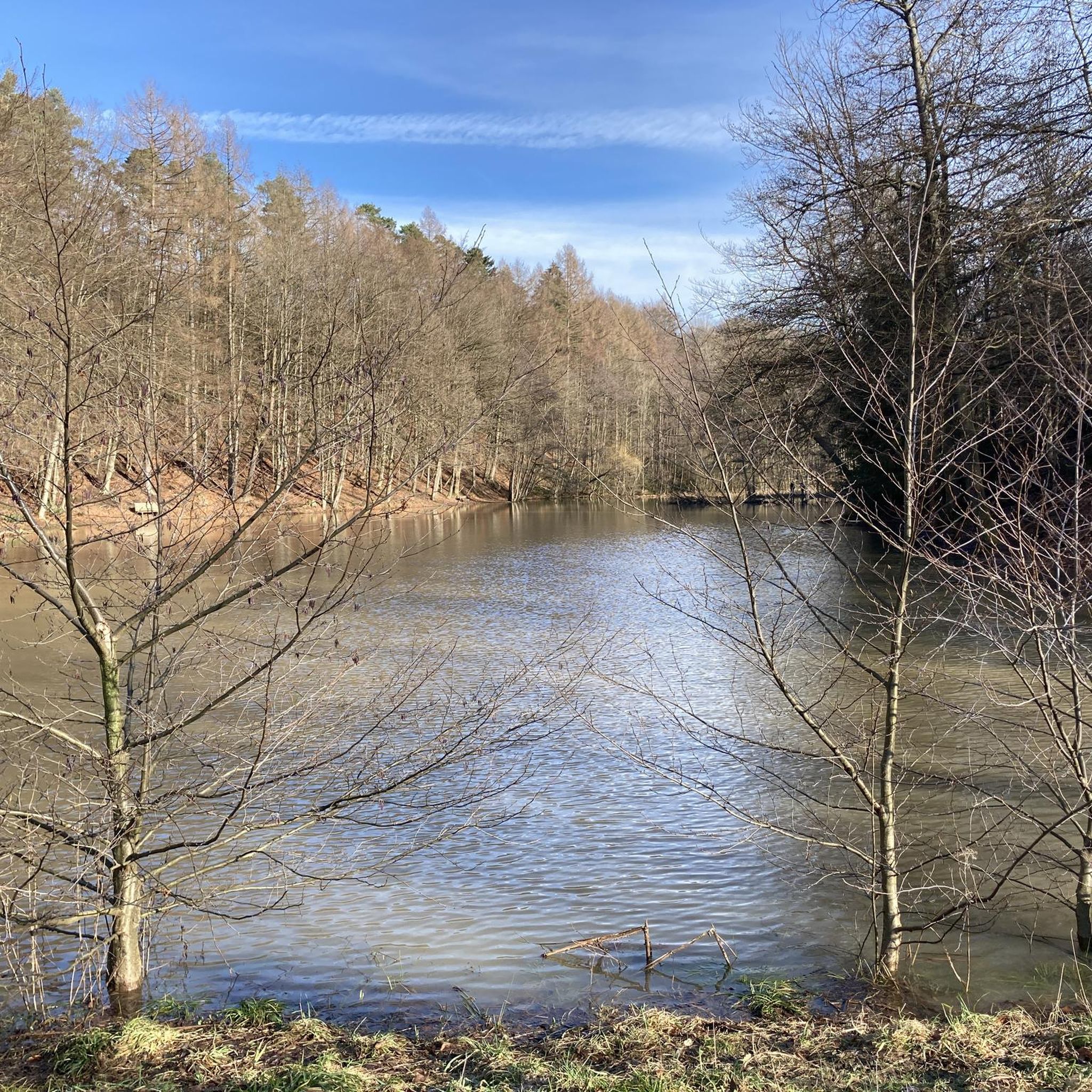
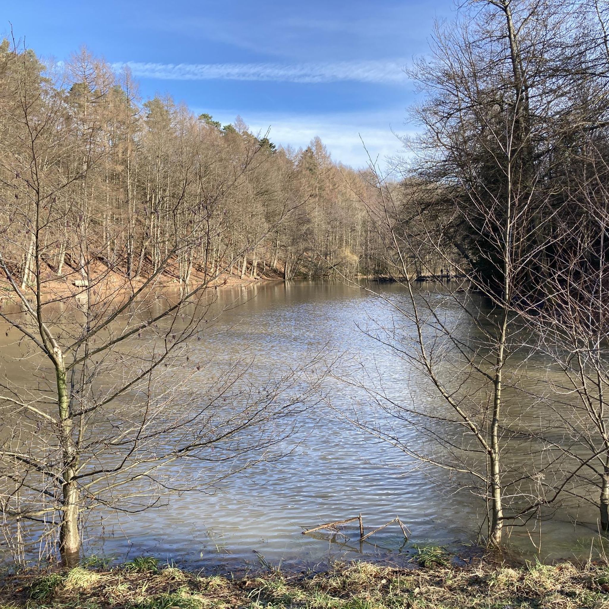
Other adventures in Hardt

Tips from the Community

😯Impressive nature😮 🌳🌳Extreme & very interesting exposed roots... -and the trees are alive☝🏼😮😮 🌳An impressive natural photo motif 🌳📸-🤔🤔 reminded us somehow of Treebeard from the movie 🎬 "The Lord of the Rings".... with its Ents from Fangorn Forest🌳
0
0
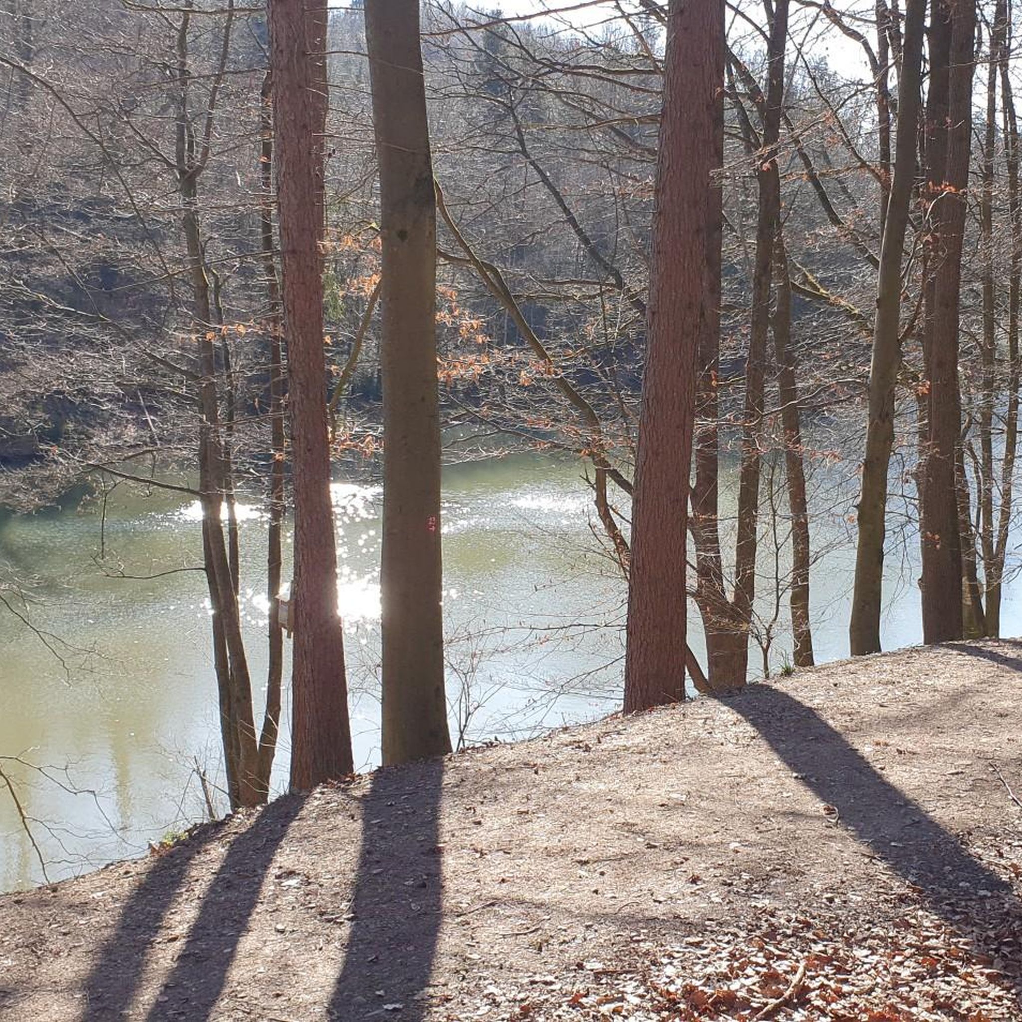
Former Cox dolomite quarry. After the end of mining, a piece of nature worth protecting has emerged💚🌲🌳⛰️. Where pickaxes and hammers once swung, 🐍🦎grass snakes and solitary wild bees🐝 frolic today. A beautiful, quiet local recreation area- which offers a changing scenery in every season 🍃🍂🍁🌿. In addition, the magnificent reflections in the lake- a great photo location 🎨🖌📸.
1
0

The pond was originally a swimming lake for the cadets of the cadet institute, which was housed in the nearby Bensberg Castle from 1840 to 1918. Today it is a popular destination for nature lovers, hikers, and anyone who wants to escape the stress of everyday life. 🏞️🚶♂️
0
0

The Kadettenweiher was a swimming lake for the cadets of Bensberg Castle.
0
0

The views are not spectacularly open, but they do offer small, charming panoramas between the trees – especially in autumn or when the sun is low in the sky.
10
0
The view from the Tütberg, which at 212 meters is the highest elevation in the Königsforst forest, offers a beautiful panoramic view over the Bergisches Land region on a clear day. The view towards Bensberg Castle and the surrounding hills is particularly impressive.
10
0

"But perhaps the time is not yet ripe for it (...) lest one day they bring disaster upon one another and their peoples. And if they should do so nevertheless, may the good Lord in his counsel decree that at least afterwards, when the disaster has already befallen them all, they will find their way back to one another and make peace in this world once and for all." Thus writes Otfried Preußler (born 1923 in Reichenberg, Bohemia), best known as a children's book author, in his work "The Flight to Egypt. Royal Bohemian Part." While his lines are about the German and Czech inhabitants of the Kingdom of Bohemia in the context of the story, his statement is actually universally and timelessly valid.
9
0
"The hiker is immersed in the history of the old castle [Bensberg Castle] during the Franco-Prussian Wars when visiting the French and Prussian-Austrian military cemeteries in the neighboring Hardt Forest," reads the description of this section of the Bergisches Land Trail No. 13, which covers 10 kilometers and also includes the two military cemeteries (though the graves themselves are no longer preserved). For the complete route description, see =>> https://www.bergisches-wanderland.de/bergische-streifzuege/alle-streifzuege/13-bensberger-schlossweg-bergisch-gladbach-101-km
9
0
Frequently Asked Questions
How many running routes are available in Hardt?
Hardt offers a wide selection of running routes, with over 1,100 trails documented on komoot. This includes options for various fitness levels and preferences, ensuring there's a suitable path for almost every runner.
What kind of terrain can I expect on the running trails in Hardt?
The running trails in Hardt, particularly within the Hardter Wald in Mönchengladbach, primarily feature extensive forest paths and varied natural surfaces. You can expect a mix of clear, well-maintained paths and more natural, undulating terrain, providing a pleasant and diverse running experience.
Are there running routes suitable for beginners or those looking for an easy jog?
Yes, Hardt has plenty of options for easier runs. There are over 120 routes classified as easy, perfect for beginners or those seeking a relaxed jog through the scenic Hardter Wald. These trails typically have less elevation gain and are shorter in distance.
Can I find challenging running trails in Hardt for more intense training?
Absolutely. For runners seeking a more strenuous workout, Hardt offers over 100 difficult routes. An example is the View from Tütberg – Königsforst Forest Trail loop from Hardt, a challenging 10.1-mile (16.3 km) path through the Königsforst Forest, providing significant elevation changes and a demanding experience.
Are there any circular running routes in Hardt?
Many of the running routes in Hardt are circular, allowing you to start and finish at the same point. For instance, the popular Naturfreundehaus Hardt – View of Bensberg Palace loop from Hardt is a 6.1-mile (9.8 km) loop that offers scenic views.
What do other runners enjoy most about jogging in Hardt?
The running routes in Hardt are highly rated by the komoot community, with an average score of 4.4 stars from over 1,700 reviews. Runners often praise the serene forest environment of Hardter Wald, the varied terrain, and the clear paths that make for an enjoyable outdoor exercise experience.
Are there any interesting landmarks or natural features to see along the running routes?
Yes, several routes pass by notable landmarks and natural features. You might encounter the Cadets' Pond in the Milchborn Valley, the Milchbornbach Stream, or even catch a glimpse of Bensberg Palace. The Remarkable Root Trees – View of Bensberg Palace loop from Hardt specifically highlights unique natural monuments.
Are the running trails in Hardt suitable for families?
Many of the easier and moderate trails in Hardt are suitable for families, offering a pleasant way to enjoy the outdoors together. The forest environment provides a safe and engaging setting for all ages. Look for routes with lower difficulty ratings for a family-friendly experience.
Can I bring my dog on the running trails in Hardt?
Generally, dogs are welcome on the running trails in Hardt, especially within the Hardter Wald. It's always recommended to keep your dog on a leash, particularly in nature protection areas or when encountering other trail users, to ensure a safe and enjoyable experience for everyone.
Are there parking facilities near the running trails in Hardt?
Yes, there are usually designated parking areas near popular access points to the Hardter Wald and its running trails. Specific parking information can often be found on individual route descriptions or local signage.
What is the best time of year for running in Hardt?
Hardt offers enjoyable running conditions throughout much of the year. Spring and autumn provide pleasant temperatures and beautiful scenery with changing foliage. Summer mornings and evenings are ideal to avoid the midday heat, while winter running can be picturesque, though some paths might be slippery or muddy.
Are there any running routes that pass by places to eat or drink?
Some routes, like those near the Nature Friends House Hardt, may offer opportunities to find refreshments. While not every trail has direct access to cafes, many start or pass near areas where you can find dining options before or after your run.
How long do the running routes in Hardt typically take to complete?
The duration of running routes in Hardt varies widely depending on their length and difficulty. For example, the Remarkable Root Trees – View of Bensberg Palace loop from Hardt, a 3.9-mile (6.3 km) trail, can be completed in about 41 minutes, while longer, more difficult routes can take over an hour.
Most popular routes in Hardt
Most popular attractions in Hardt

Get inspired with the komoot mobile app


Explore more
Browse the best Running Trails & Routes in other regions.
