The best walks and hikes in Rhönwald-Grabenberg
4.6
(19337)
66,867
hikers
910
hikes
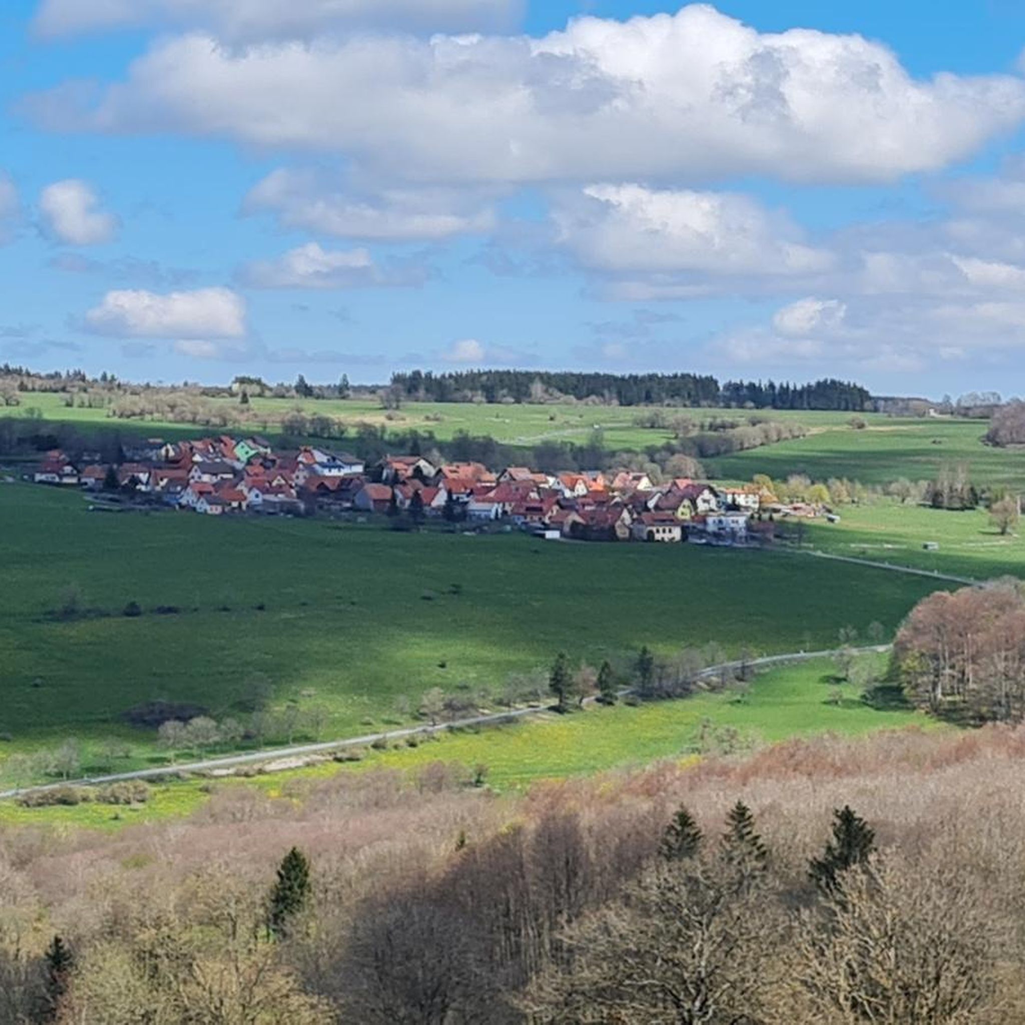
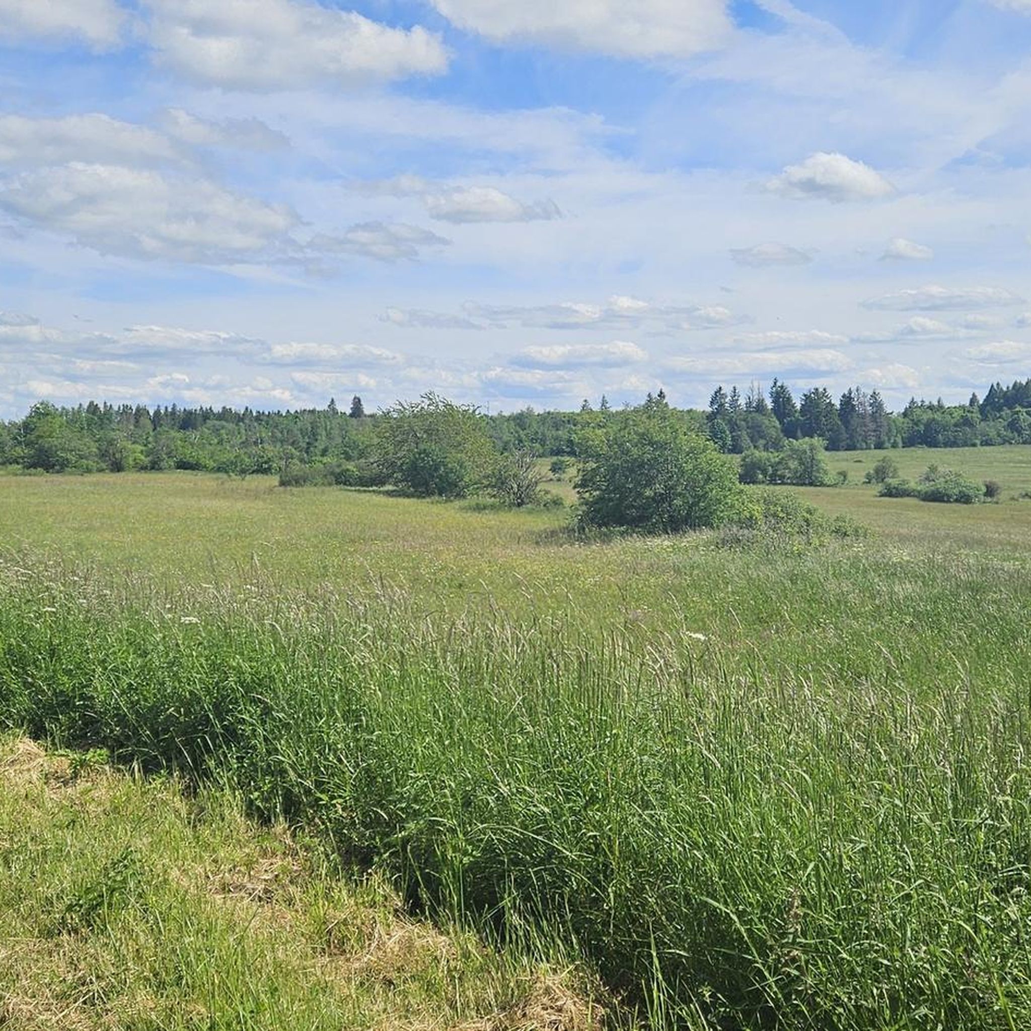
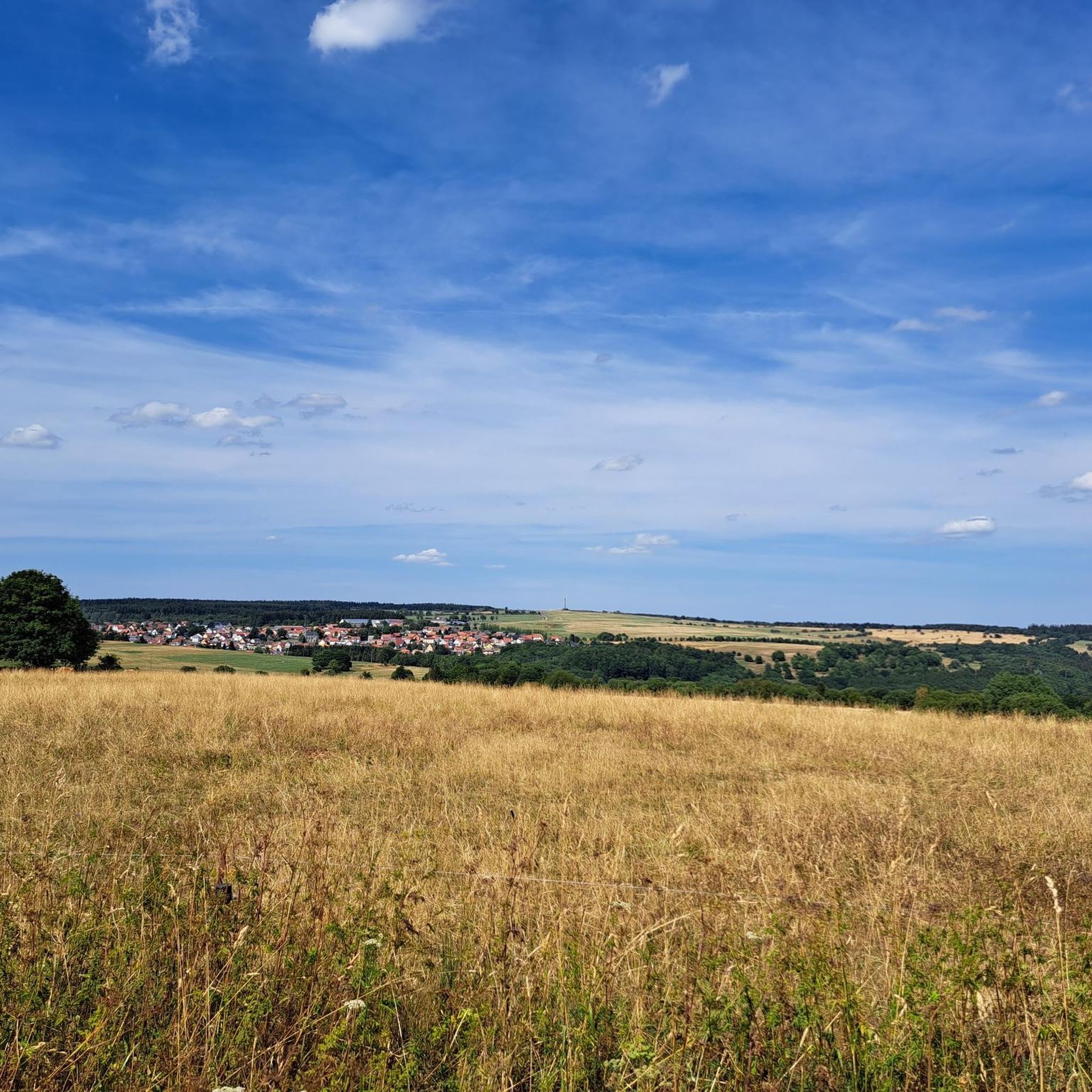
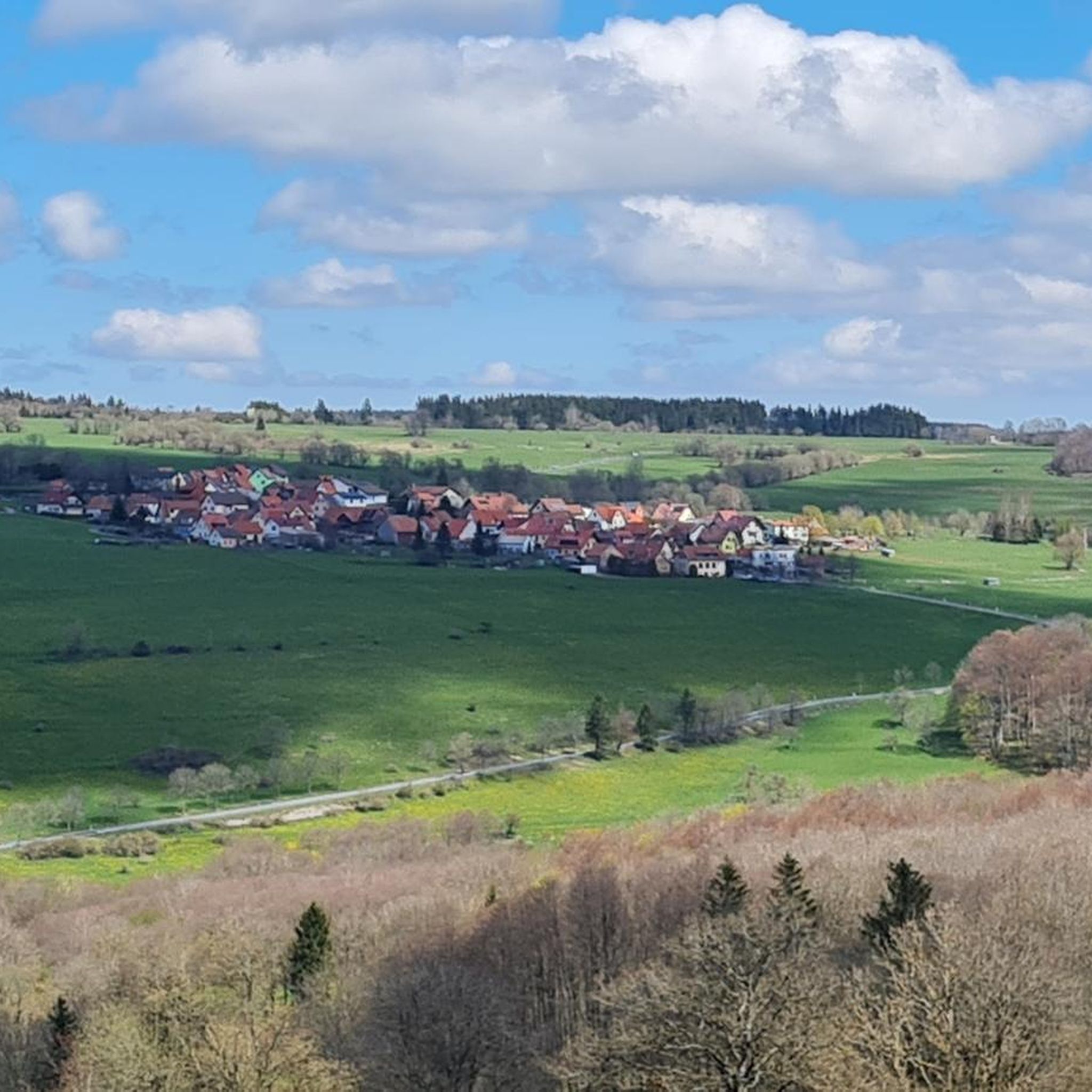
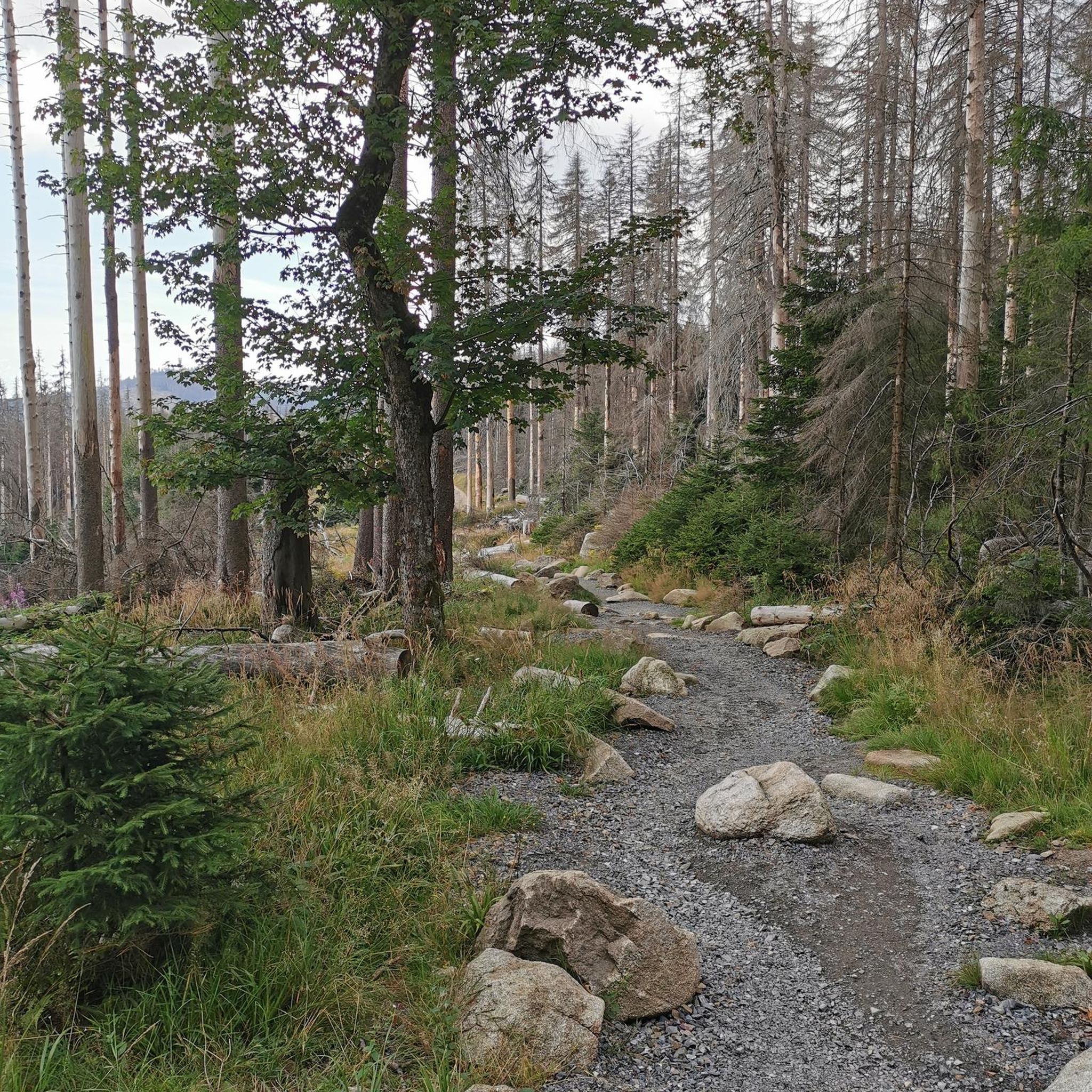
Hiking in Rhönwald-Grabenberg offers diverse terrain within the Rhön Mountains, known as the "Land of Open Vistas." The region features open plateaus, cool valleys, and shady beech forests, shaped by its volcanic past. Notable natural features include raised bogs like the Schwarzes Moor, providing unique ecosystems for exploration. This varied landscape ensures a range of hiking experiences for different ability levels.
Best hiking trails in Rhönwald-Grabenberg
- The most popular hiking route is Schwarzes Moor Nature Trail – nature and knowledge…
Last updated: July 4, 2026
4.8
(995)
4,086
hikers
Easy hike. Great for any fitness level. Easily-accessible paths. Suitable for all skill levels.
4.6
(407)
1,225
hikers
10.5km
02:51
150m
150m
Moderate hike. Good fitness required. Easily-accessible paths. Suitable for all skill levels.

Sign up for free
4.8
(204)
733
hikers
5.81km
01:29
20m
20m
Easy hike. Great for any fitness level. Easily-accessible paths. Suitable for all skill levels.
4.8
(265)
931
hikers
13.5km
03:38
170m
170m
Moderate hike. Good fitness required. Easily-accessible paths. Suitable for all skill levels.
4.8
(67)
298
hikers
8.73km
02:17
70m
70m
Moderate hike. Good fitness required. Easily-accessible paths. Suitable for all skill levels.
Get access to more routes and recommendations from other explorers.
Sign up for free
Already have an account?
Our route recommendations are based on thousands of hikes, rides, and runs completed by other people on komoot.
Start today with a free account
Your next adventure awaits.
Login or Signup
Popular around Rhönwald-Grabenberg


Other adventures in Rhönwald-Grabenberg


Tips from the Community


The "Moor Eye" is a stop on the nature trail. It focuses on the formation of the small lakes in the moor. Along the walkway, 23 information panels provide fascinating insights into the formation of the raised bog and its flora and fauna.
1
0

Kingdom of Bavaria
0
0

Impressive landscape - only your own fault if you do it on a sunny holiday when it is very busy
0
0

On the nature trail through the moor – a two-kilometer-long boardwalk – you can discover rare animal and plant species. The Black Moor is the best-preserved and still-growing raised bog in Germany's low mountain ranges. The moor is located in the Rhön Biosphere Reserve, in the border triangle of Bavaria, Hesse, and Thuringia – a unique cultural landscape in the heart of Germany. The area offers a wealth of exciting outdoor excursions. You can find more information here: https://nationale-naturlandschaften.de/gebiete/biosphaerenreservat-rhoen.
2
0

The moss-covered stones lie right next to the hiking trail. A truly beautiful sight!
7
0

Frequently Asked Questions
How many hiking trails are available in Rhönwald-Grabenberg?
Rhönwald-Grabenberg offers a vast network of hiking trails, with over 900 routes recorded on komoot. This extensive network ensures a diverse range of experiences for all hikers.
What kind of terrain and difficulty levels can I expect on the hiking trails in Rhönwald-Grabenberg?
The region, part of the Rhön Mountains, is known as the 'Land of Open Vistas,' featuring open plateaus, cool valleys, and shady beech forests. You'll find a good mix of difficulty levels: over 400 easy routes, more than 400 moderate routes, and around 70 challenging trails, catering to various fitness levels.
What unique natural features can I explore while hiking in Rhönwald-Grabenberg?
A significant highlight is the distinctive raised bog of the Schwarzes Moor, which you can explore via boardwalks. The region's volcanic past contributes to its unique topography, and the 'Land of Open Vistas' provides expansive panoramic views across rolling hills, sometimes reaching as far as the Thuringian Forest.
Are there many circular hiking routes in Rhönwald-Grabenberg?
Yes, the Rhönwald-Grabenberg area is well-suited for circular walks. For example, the Rhön Circular Trail 1 Schwarzes Moor is a moderate 6.5-mile loop traversing the raised bog. Another option is the Circular trail Schwarzes Moor and Grabenberg border tower, an easy 3.6-mile route.
What are some interesting landmarks or points of interest to see along the trails?
You can discover several notable landmarks. The Grabenberg Border Tower offers historical insight, while the Three-State Point Hesse–Bavaria–Thuringia marks a unique geographical spot. The Birxgraben Stream and Wooden Bridge also provide scenic points of interest.
Are there any trails that feature waterfalls in the Rhönwald-Grabenberg area?
Yes, you can find routes that include waterfalls. The Grabenberg Border Tower – Eisgraben Waterfall loop from Birx is a moderate 8.7 km (5.4 miles) hike that takes you past the Eisgraben Waterfall.
What do other hikers enjoy most about hiking in Rhönwald-Grabenberg?
The area is highly rated by the komoot community, with an average score of 4.6 stars from over 17,000 reviews. Hikers often praise the diverse landscapes, from open plateaus to shady beech forests, and the unique experience of exploring the Schwarzes Moor.
Are there family-friendly hiking options in Rhönwald-Grabenberg?
Absolutely. With over 400 easy routes, many trails are suitable for families. The Schwarzes Moor Nature Trail – nature and knowledge in the Rhön is an easy 2.0-mile (3.2 km) path, perfect for a leisurely family outing to explore the unique raised bog.
What is the best time of year to go hiking in Rhönwald-Grabenberg?
The Rhönwald-Grabenberg region offers beautiful hiking experiences throughout the warmer months, typically from spring through autumn. These seasons provide pleasant temperatures for exploring the open vistas, forests, and unique moor landscapes. Winter hiking is also possible, though conditions may vary.
Are there trails suitable for advanced hikers looking for a challenge?
While the region is known for its accessible trails, there are approximately 70 difficult routes available for more experienced hikers seeking a challenge. These trails often feature more significant elevation changes and longer distances, providing a rewarding experience within the diverse Rhön landscape.
Can I find trails that offer panoramic views in Rhönwald-Grabenberg?
Yes, the Rhön Mountains are famously known as the 'Land of Open Vistas.' Many trails, especially those on the open plateaus, offer breathtaking panoramic views across rolling hills. You can often see far into the surrounding regions, including the Thuringian Forest and Steigerwald.
Most popular routes in Rhönwald-Grabenberg
Most popular attractions in Rhönwald-Grabenberg

Get inspired with the komoot mobile app


Explore more
Browse the best Hikes in other regions.
