The best mountain hikes in Tal Der Brend
3.0
(3)
14
hikers
5
hikes
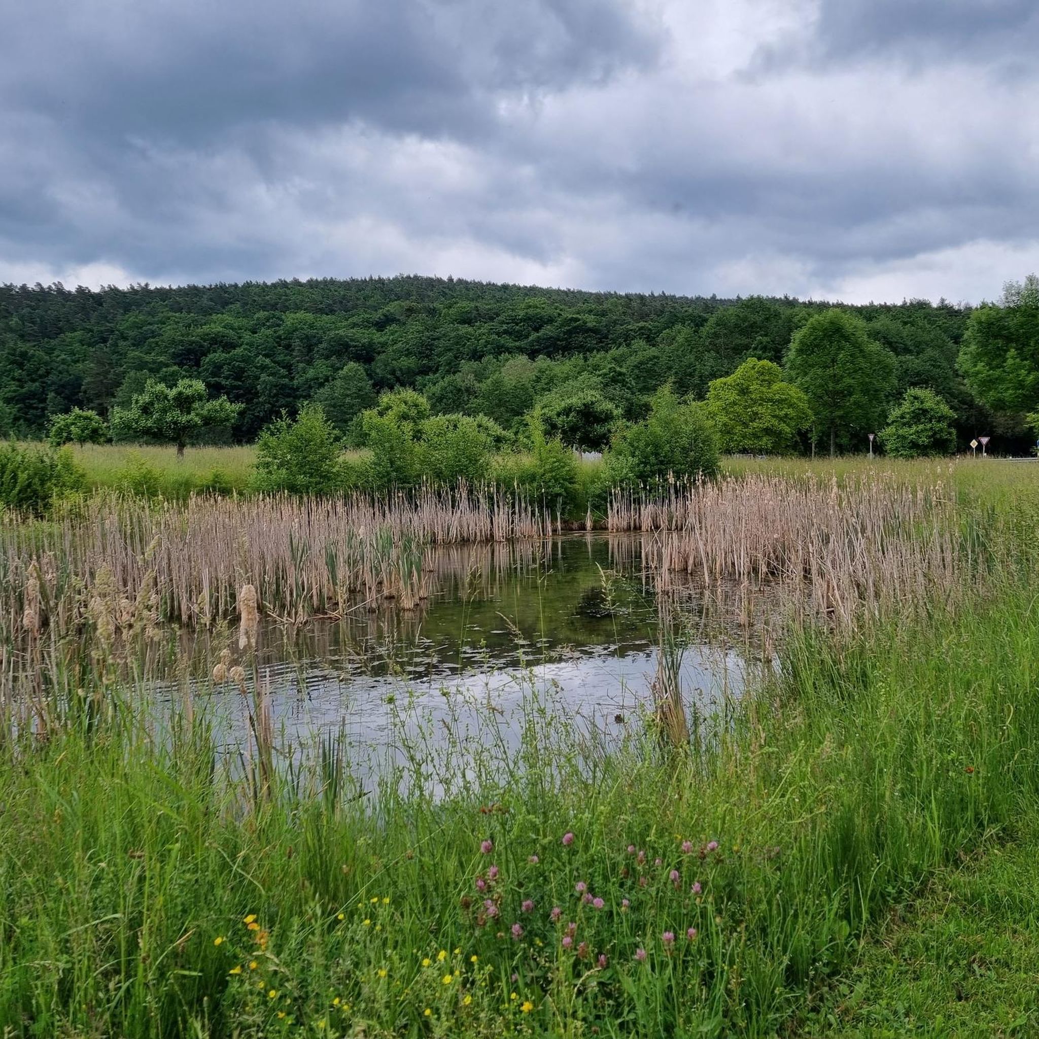
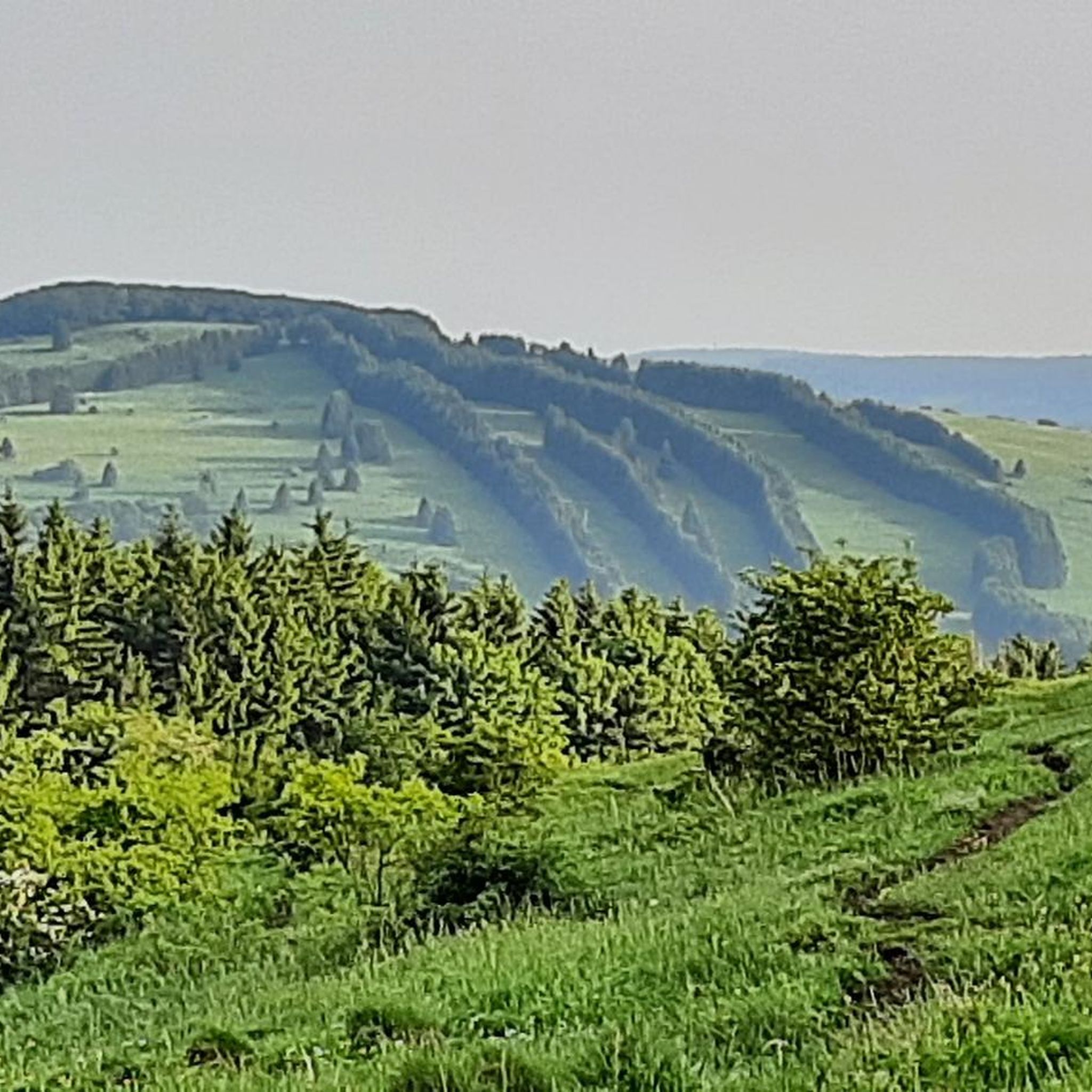
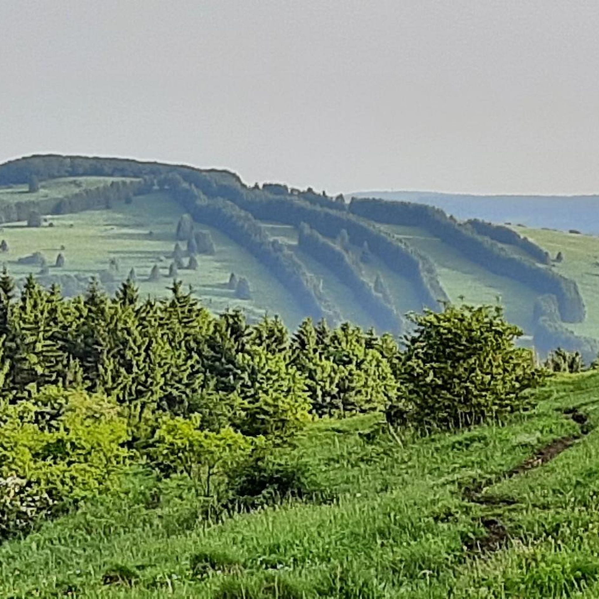
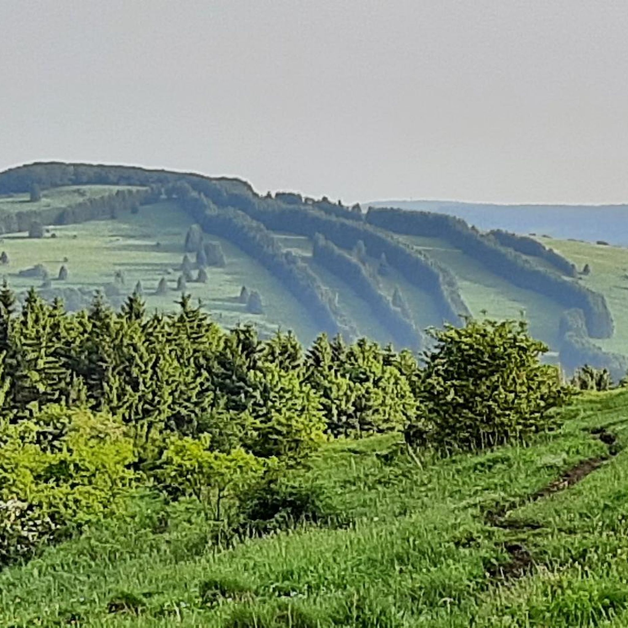
Mountaineering routes in Tal Der Brend traverse the varied landscape of the Rhön region, characterized by rolling hills, forested slopes, and prominent features like Kreuzberg. The area features a mix of open terrain and sheltered valleys, offering diverse conditions for ascents and descents. Water features such as the Brend river and Cascade Gorge add to the topographical interest.
Best mountaineering routes in Tal Der Brend
- The most popular mountaineering route is View from the summit of Kreuzberg – Kreuzberg Monastery loop from Bischofsheim in der Rhön, a 9.3 miles (15.0 km) trail that takes 4 hours 34 minutes to complete. This route offers expansive views from the Kreuzberg summit and passes by the historic Kreuzberg Monastery.
- Another top favourite among local mountaineers is Marienbrünnlein – Kreuzberg Summit loop from Unterweißenbrunn, a moderate 8.5 miles (13.6 km) path. It features varied terrain leading to the Kreuzberg Summit, starting near Marienbrünnlein.
- Local mountaineers also love the Osterburg castle ruins – Kreuzberg Monastery loop from Bischofsheim in der Rhön, a 6.9 miles (11.1 km) trail leading through historical sites and forested areas, often completed in about 3 hours 38 minutes.
- Mountaineering in Tal Der Brend is defined by forested slopes, prominent hills, and historical landmarks. The network offers options for different ability levels, with all routes in this guide rated as moderate.
- The routes in Tal Der Brend are highly rated by the komoot community with an average score of 3.0 stars from over 3 reviews. More than 14 mountaineers have used komoot to explore Tal Der Brend's varied terrain.
Last updated: July 15, 2026
1.0
(1)
1
hikers
Moderate mountaineering route. Good fitness required. Easily-accessible paths. Suitable for all skill levels.
5.0
(2)
6
hikers
13.6km
04:12
490m
490m
Moderate mountaineering route. Good fitness required. Easily-accessible paths. Suitable for all skill levels.

Sign up for free
2
hikers
Moderate mountaineering route. Good fitness required. Easily-accessible paths. Suitable for all skill levels.
2
hikers
Moderate mountaineering route. Good fitness required. Easily-accessible paths. Suitable for all skill levels.
3
hikers
7.31km
02:05
170m
170m
Moderate mountaineering route. Good fitness required. Easily-accessible paths. Suitable for all skill levels.
Our route recommendations are based on thousands of hikes, rides, and runs completed by other people on komoot.
Start today with a free account
Your next adventure awaits.
Login or Signup

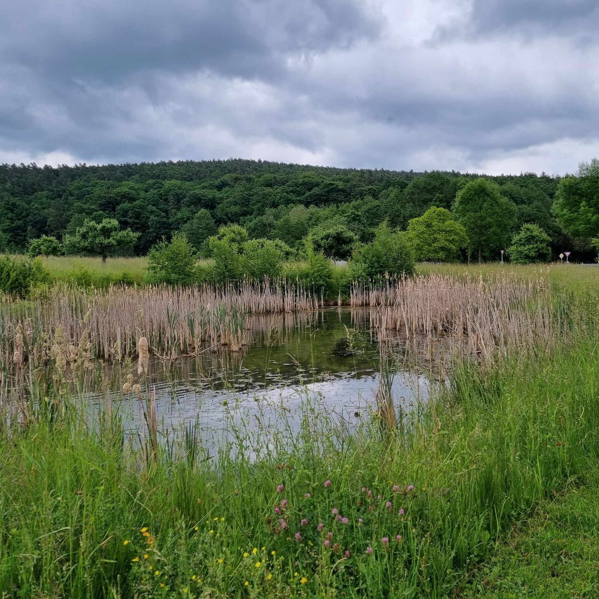
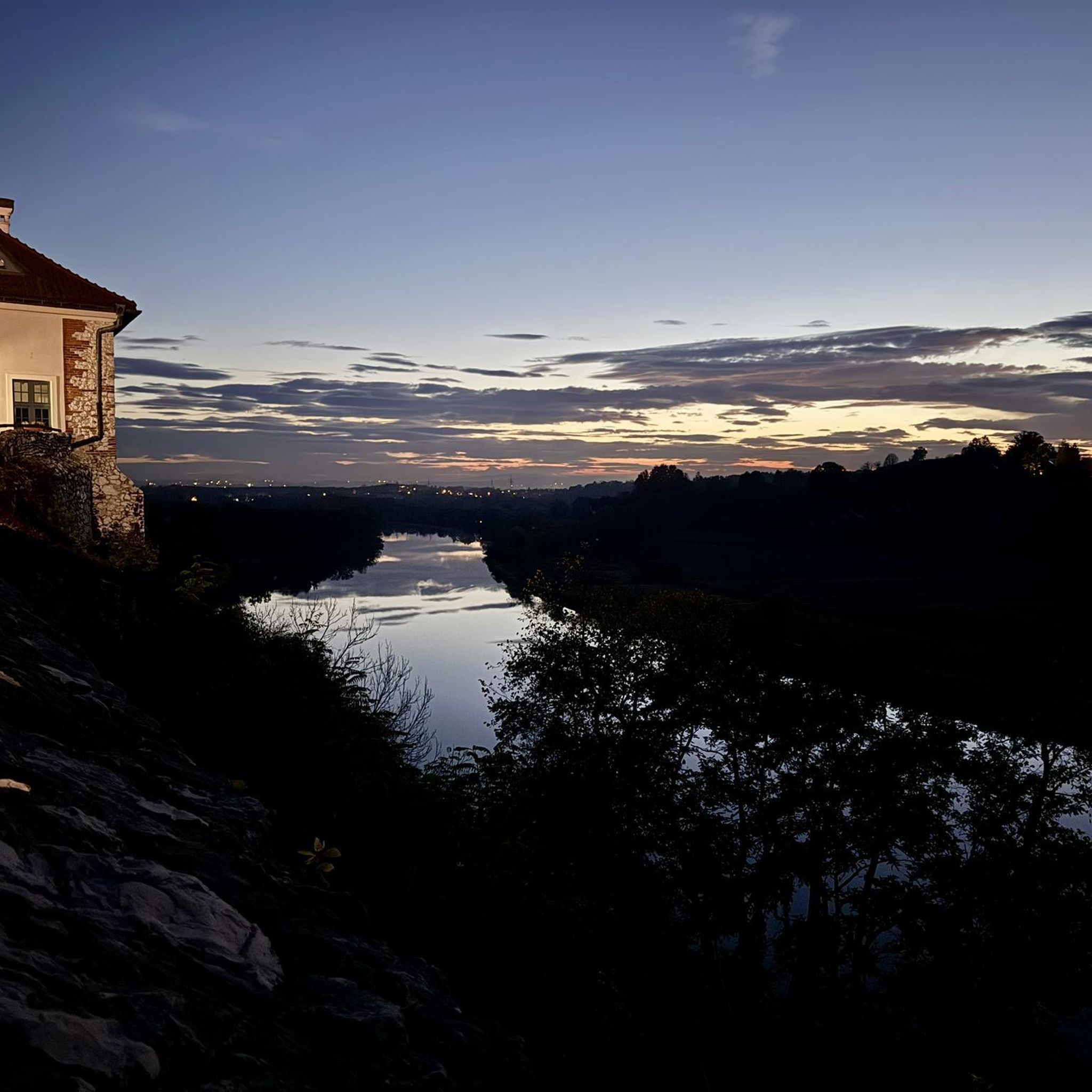
Other adventures in Tal Der Brend

Tips from the Community

Great view from the Osterburg
0
0


One of the last raised bogs in Hesse. Peat mining was stopped here in 1986… Today, renaturation is the magic word
13
0

You can stop by
3
0

Really nice and quiet in the morning. From 12pm onwards it is often very busy.
1
1

This small fountain is located on the way down from Kreuzberg to Neustädter Haus.
0
0

Very nice town with town hall.
5
0
Frequently Asked Questions
What is the typical difficulty level for mountaineering routes in Tal Der Brend?
All mountaineering routes in Tal Der Brend featured in this guide are rated as moderate. They offer a good balance of challenge and accessibility, suitable for those with a reasonable level of fitness.
What kind of terrain can I expect on mountaineering routes in Tal Der Brend?
The routes traverse the varied landscape of the Rhön region, characterized by rolling hills, forested slopes, and prominent features like Kreuzberg. You'll encounter a mix of open terrain and sheltered valleys, with water features such as the Brend river and Cascade Gorge adding to the topographical interest.
Are there any circular mountaineering routes in Tal Der Brend?
Yes, all the mountaineering routes highlighted in this guide are circular. For example, you can explore the View from the summit of Kreuzberg – Kreuzberg Monastery loop from Bischofsheim in der Rhön, which offers expansive views and passes the historic monastery.
What are some of the longer mountaineering routes in Tal Der Brend?
For a longer outing, consider the View from the summit of Kreuzberg – Kreuzberg Monastery loop from Bischofsheim in der Rhön, which is about 9.3 miles (15.0 km) and typically takes around 4 hours 34 minutes. Another option is the Marienbrünnlein – Kreuzberg Summit loop from Unterweißenbrunn, spanning 8.5 miles (13.6 km).
Are there any shorter mountaineering options in Tal Der Brend?
Yes, if you're looking for a shorter mountaineering experience, the Cascade Gorge – View of the Wasserkuppe loop from Rotes Moor is about 4.5 miles (7.3 km) and can be completed in approximately 2 hours 5 minutes. Another good choice is the 4.4 miles (7.08 km) View from the summit of Kreuzberg – Kreuzberg Monastery loop from Bischofsheim in der Rhön.
What historical sites or landmarks can I see along the mountaineering routes?
The region is rich in history. You can encounter the historic Kreuzberg Monastery on several routes, and the Osterburg castle ruins – Kreuzberg Monastery loop from Bischofsheim in der Rhön specifically leads through historical sites. Other notable landmarks in the area include the Bischofsheim Town Wall and the Kreuzmühle Hydroelectric Mill on the Brend.
What do other mountaineers enjoy most about Tal Der Brend?
The area is highly rated by the komoot community, with an average score of 3.0 stars. Mountaineers often praise the varied terrain, the expansive views from prominent features like Kreuzberg, and the blend of natural beauty with historical landmarks.
Are there any cafes or pubs near the mountaineering routes in Tal Der Brend?
While specific cafes directly on the trails are not detailed, the region offers options for refreshments. The Braunsmühle Restaurant & Beer Garden is a local highlight where you can find food and drinks after your hike.
Is Tal Der Brend suitable for family-friendly mountaineering?
Given that all routes in this guide are rated as moderate, they are generally suitable for families with older children or those accustomed to longer walks. The varied landscapes and historical points of interest can make for an engaging experience for active families.
What is the best time of year for mountaineering in Tal Der Brend?
The Rhön region, including Tal Der Brend, is generally best for mountaineering from spring through autumn. During these seasons, the weather is typically milder, and the trails are clear, allowing for comfortable exploration of the forested slopes and open views.
Are there any specific water features or gorges to see?
Yes, the Brend river flows through the valley, and you can specifically explore the Cascade Gorge – View of the Wasserkuppe loop from Rotes Moor, which highlights this natural feature.
Most popular routes in Tal Der Brend
Most popular attractions in Tal Der Brend

Get inspired with the komoot mobile app


Explore more
Browse the best Mountain Hikes & Routes in other regions.
