The best walks and hikes in Untere Murg (Lsg)
4.5
(26529)
101,357
hikers
79
hikes
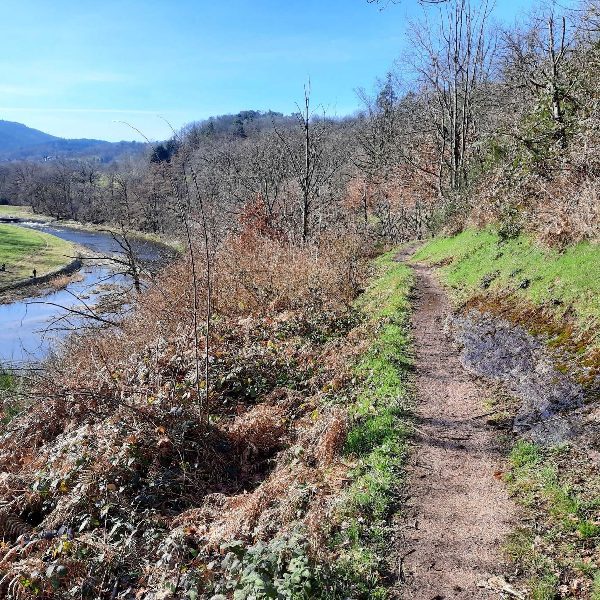
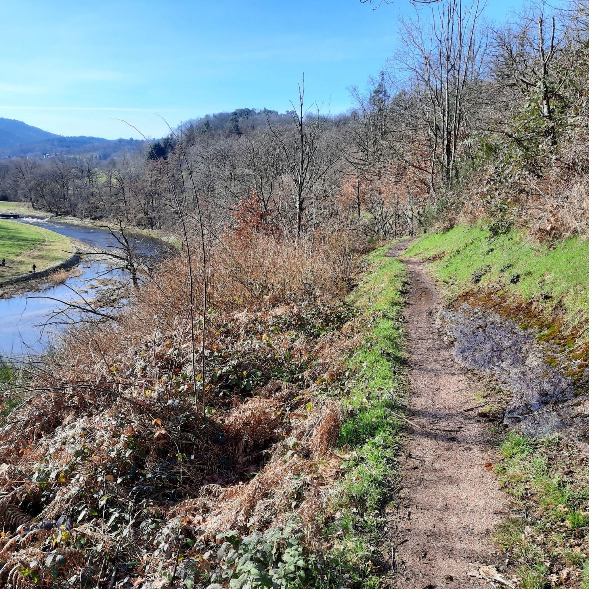
Hiking in Untere Murg (Lsg) offers diverse landscapes within Germany's northern Black Forest, characterized by the Murg River valley and its surrounding mountain basin terrain. The region features thick forests, unique geological formations, and the notable Murg lakes, including the Lower Murg Lake surrounded by ancient Swiss pine forests. Hikers can expect varied elevations and natural features shaped by glacial activity, providing a range of experiences from gentle riverside paths to more challenging mountain trails.
Best hiking trails in Untere…
Last updated: July 16, 2026
4.3
(22)
73
hikers
Easy hike. Great for any fitness level. Easily-accessible paths. Suitable for all skill levels.
4.8
(21)
65
hikers
5.69km
01:39
140m
140m
Moderate hike. Great for any fitness level. Mostly accessible paths. Sure-footedness required.

Sign up for free
4.8
(25)
111
hikers
Hard hike. Very good fitness required. Easily-accessible paths. Suitable for all skill levels.
4.7
(11)
66
hikers
Hard hike. Very good fitness required. Mostly accessible paths. Sure-footedness required.
4.6
(29)
73
hikers
10.00km
02:48
200m
200m
Moderate hike. Good fitness required. Easily-accessible paths. Suitable for all skill levels.
Get access to more routes and recommendations from other explorers.
Sign up for free
Already have an account?
Our route recommendations are based on thousands of hikes, rides, and runs completed by other people on komoot.
Start today with a free account
Your next adventure awaits.
Login or Signup
Popular around Untere Murg (Lsg)
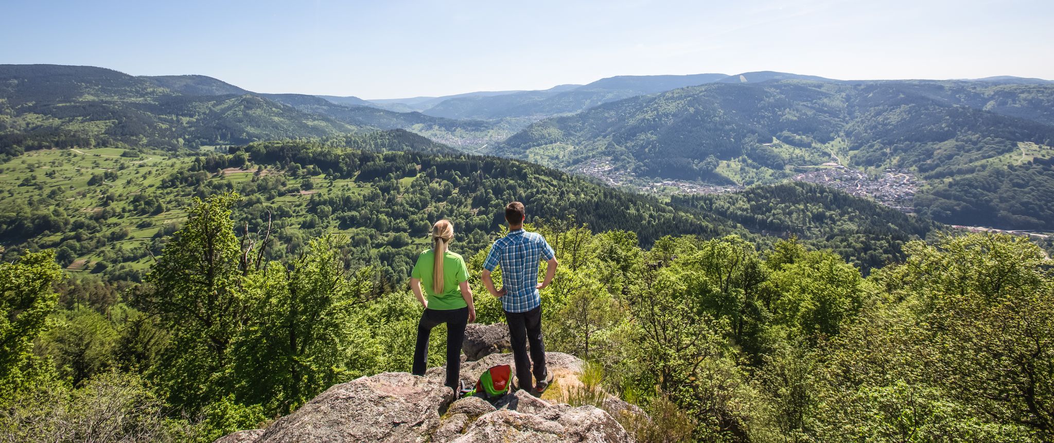
Murgleiter Trail – Experience the diverse Murg Valley in 5 stages
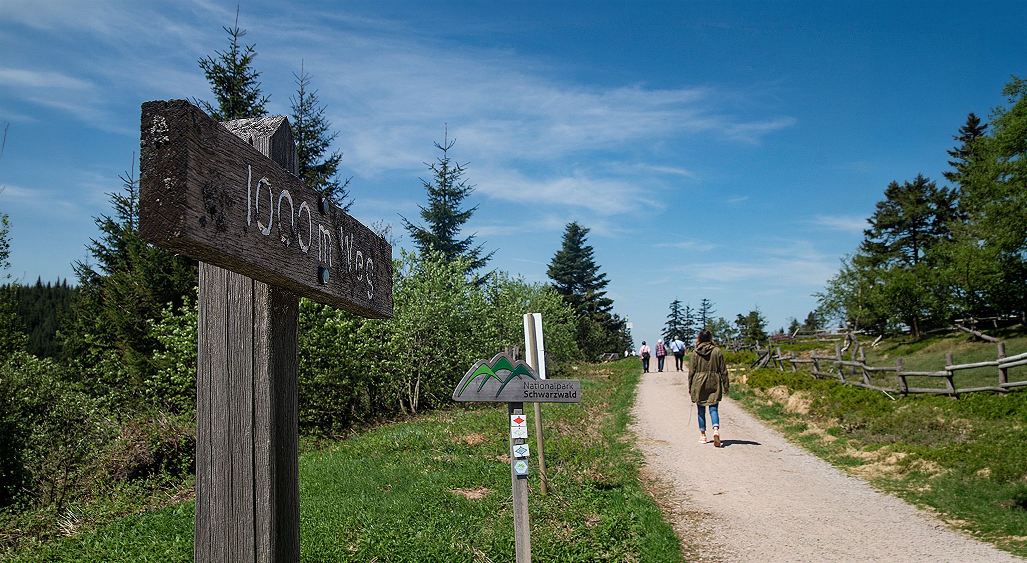
Barrier-free hikes in the Black Forest National Park

Coolcation in the Black Forest – hiking and cooling off in summer

#GoFurther – discover the views of Germany!

Discover premium and quality long-distance hiking in southern Germany
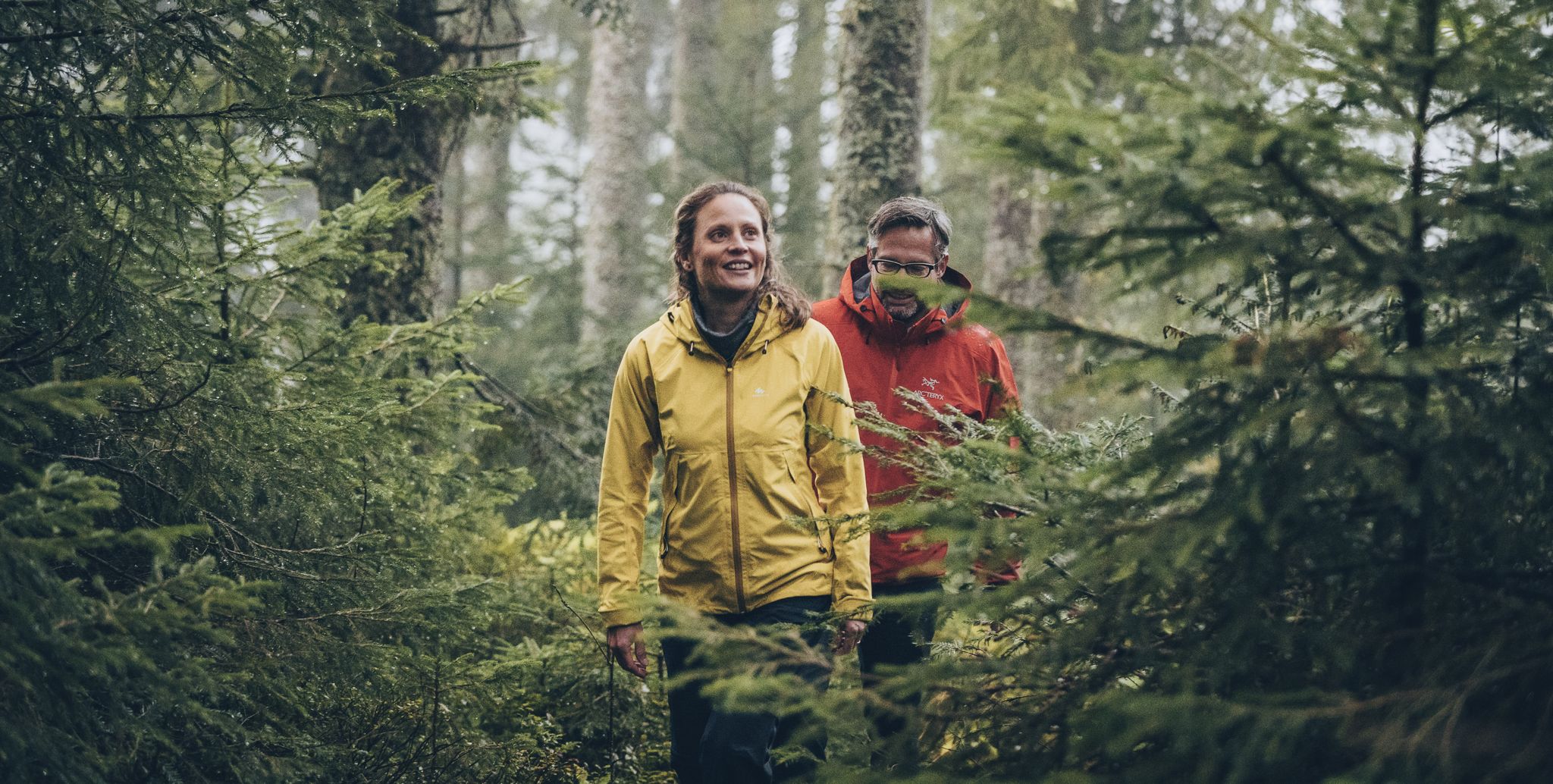
The Murgleiter – 5 days on the move in the northern Black Forest
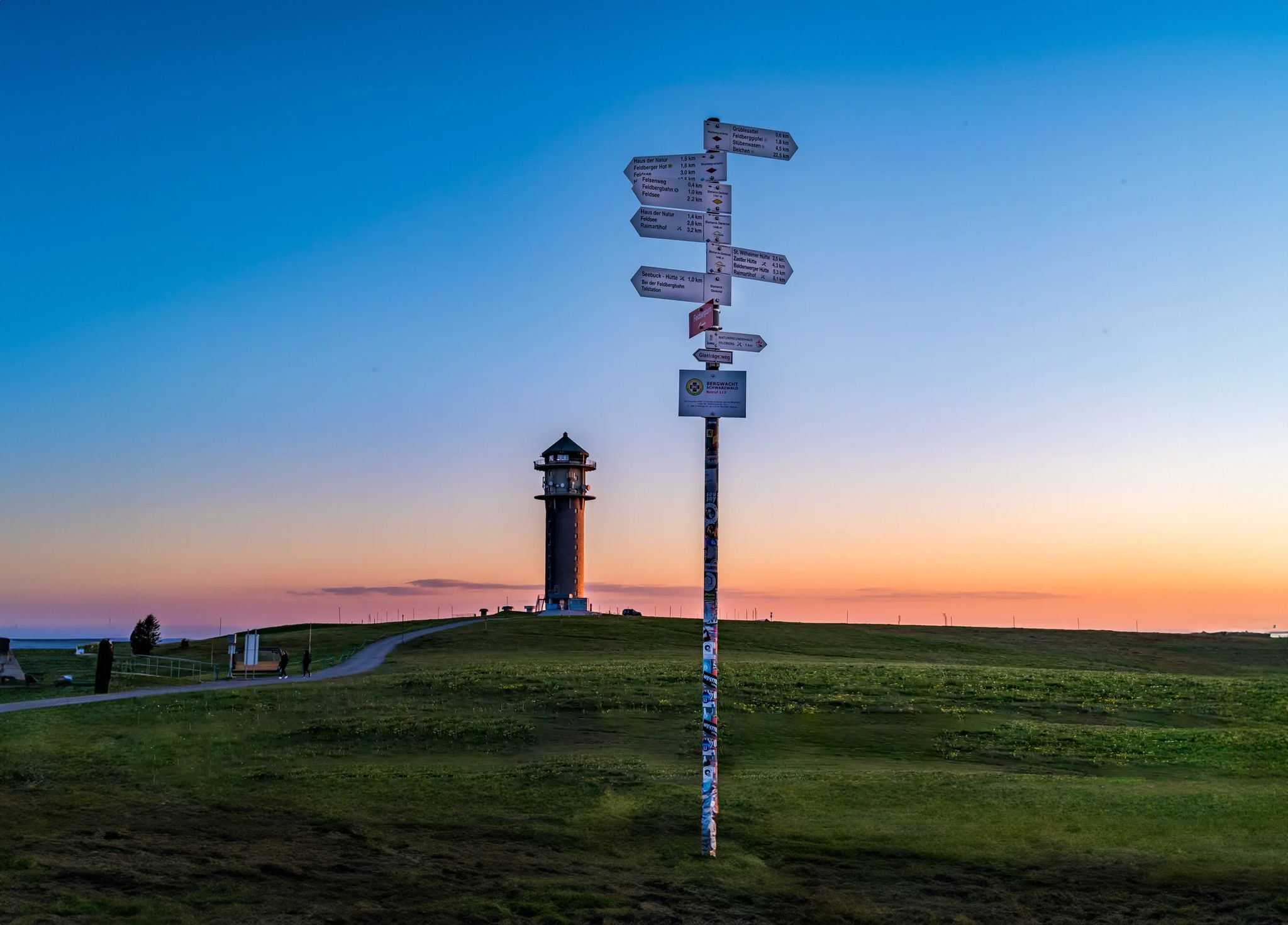
The most beautiful long-distance hiking trails in the Black Forest
MTB Trails in Untere Murg (Lsg)
Road Cycling Routes in Untere Murg (Lsg)
Cycling in Untere Murg (Lsg)
Other adventures in Untere Murg (Lsg)


Tips from the Community

Beautiful 360° view, a little further down there is a bar/restaurant and right next to it you can see the paragliders taking off.
0
0

coming from Lichtental via the Eckhöfe to the Friedrich-Ebert-Arboretum
0
0

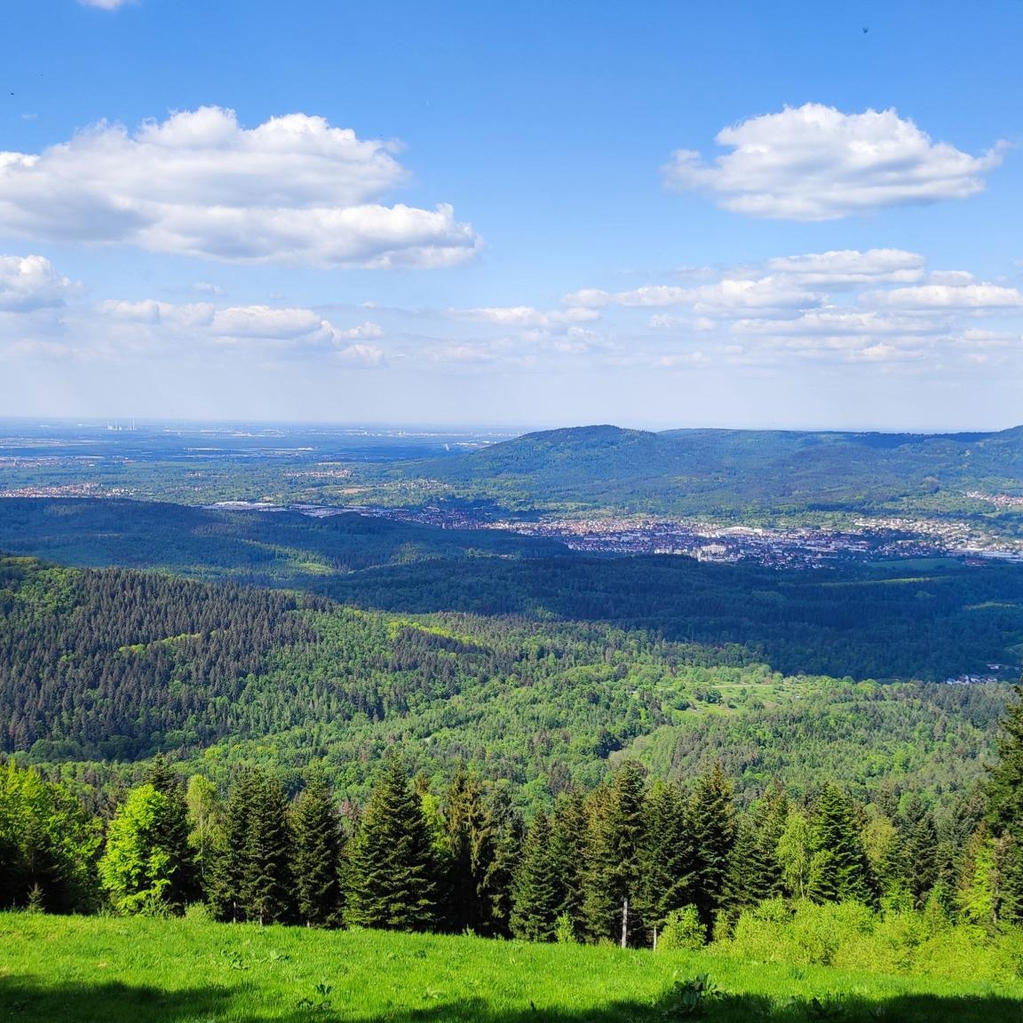
Very beautiful view from the Merkur, located 668 m above sea level, into the Rhine plain, the Vosges and the Black Forest
0
0
The tower, built in 1905, today serves as both an observation point and a transmission mast for SWR. A free glass elevator leads to the viewing platform at a height of 23 meters. From there, a panorama of approximately 700 meters above sea level offers views ranging from the Rhine plain across the Murg valley to the French Vosges. In addition to the view, the summit plateau is a center for hikers and a well-known starting point for paragliders.
0
0
The tower, built in 1905, today serves as both an observation point and a transmission mast for SWR. A free glass elevator leads to the viewing platform at a height of 23 meters. From there, a panorama of approximately 700 meters above sea level offers views ranging from the Rhine plain and the Murg valley to the French Vosges. In addition to the view, the summit plateau is a center for hikers and a well-known launch site for paragliders.
0
0
Very beautiful view from the Merkur, located at 668 m, into the Rhine plain, Vosges and Black Forest
0
0
Very beautiful view from the Merkur, located at 668 m altitude, over the Rhine plain, the Vosges and the Black Forest.
0
0

The view from the Merkur mountain is fantastic, even in foggy conditions when the city is shrouded in clouds and the sun is shining on the Merkur.
2
0
Frequently Asked Questions
What kind of terrain can I expect on hiking trails in Untere Murg (Lsg)?
Untere Murg (Lsg) offers a diverse range of terrain, from gentle riverside paths along the Murg River to more challenging mountain trails within the Black Forest. You'll encounter thick forests, unique geological formations shaped by glaciers, and areas with rugged mountains and rocky peaks. Some routes, like those around the Murg lakes, can include relatively steep ascents and rooty paths, sometimes with almost alpine conditions.
Are there any easy or beginner-friendly hiking trails in Untere Murg (Lsg)?
Yes, the region provides options for various skill levels, including easy walks. For a gentle experience, consider the Mini Summit of Ottenau – Mümmelmann Hut loop from Gaggenau, an easy 2.5-mile trail through forested areas. Another easy option is the Favorite Palace Park – Pond at Schloss Favorite Park loop from Kuppenheim, which is just over 3 miles with minimal elevation gain.
What are some notable natural features or landmarks to see while hiking?
The region is rich in natural beauty. A highlight is the Murg River and its valley, along with the captivating Murg lakes (Oberer, Mittler, and Unterer Murgsee), which are set within a wild mountain basin. The lower Murg lake is particularly striking, surrounded by ancient Swiss pine forests. You can also find numerous brooks and waterfalls, including one that dramatically crashes into the lower Murg lake. For panoramic views, consider visiting the Merkur Tower (Merkurturm).
Are there any waterfalls in Untere Murg (Lsg)?
Yes, the area around the Murg lakes is dotted with brooks and waterfalls. Notably, there is a waterfall that dramatically crashes into the lower Murg lake. The Murg Trail, a prominent long-distance path in the region, also features the Stralbrusch Waterfall, offering picturesque scenes along its route.
Can I find circular hiking routes in Untere Murg (Lsg)?
Many of the popular hiking routes in Untere Murg (Lsg) are circular, allowing you to start and end at the same point. Examples include the Waldsee Natural Swimming Area – Echle Hut loop from Gaggenau and the Bench With a View of Gaggenau loop from Lieblingsfelsen. The Murgsee Loop Hike is also a popular circular option around the Murg lakes.
What is the best time of year to go hiking in Untere Murg (Lsg)?
Untere Murg (Lsg) offers hiking opportunities throughout much of the year. Spring and autumn are particularly pleasant for their mild temperatures and vibrant scenery. Late spring can be ideal for wildlife viewing, especially around the Murgsee, where you might spot Ibex. While some trails might be accessible in winter, conditions can vary, so it's always best to check local weather and trail reports.
Are there family-friendly hiking options in Untere Murg (Lsg)?
Yes, the region offers several family-friendly walks. Many trails are suitable for families, especially the easier routes with less elevation gain. The diverse trail network includes paths that are less strenuous, allowing families to enjoy the natural beauty of the Murg Valley and its forests together.
Are dogs allowed on the hiking trails in Untere Murg (Lsg)?
Generally, dogs are welcome on hiking trails in Untere Murg (Lsg). However, it's always advisable to keep them on a leash, especially in nature protection areas, near wildlife, or when passing through agricultural land. Please ensure you clean up after your dog to maintain the natural environment for everyone.
Where can I find parking for hiking trails in Untere Murg (Lsg)?
Parking is generally available near trailheads and popular starting points in towns like Gaggenau, Kuppenheim, and other villages within the Untere Murg (Lsg) area. Specific parking information can often be found on local tourist information websites or detailed hiking maps for individual routes.
Can I reach hiking trails in Untere Murg (Lsg) using public transport?
Yes, the Murg Valley region is reasonably well-connected by public transport, particularly by train and bus services that run through the valley. This allows access to various starting points for hikes. It's recommended to check local public transport schedules for specific routes and connections to your desired trailhead.
Are there places to eat or stay near the hiking trails?
Yes, you'll find various options for refreshments and accommodation. Along some trails, such as the Murgleiter, there are mountain huts providing regional delicacies. Towns like Gernsbach and Forbach, located within or near Untere Murg (Lsg), offer cafes, pubs, and guesthouses. You can also find specific huts like the Fee-Schlapper Hut on the Binsenwasen or the Schweinlach Hut.
What do other hikers enjoy most about hiking in Untere Murg (Lsg)?
The komoot community highly rates hiking in Untere Murg (Lsg), with an average score of 4.6 stars from over 2,600 reviews. Hikers often praise the diverse landscapes, the wild and romantic mountain basin terrain, and the picturesque Murg River valley. The well-maintained trails and the stunning views, especially from viewpoints like the Merkur Tower, are frequently highlighted.
Most popular routes in Untere Murg (Lsg)
Most popular attractions in Untere Murg (Lsg)

Get inspired with the komoot mobile app


Explore more
Browse the best Hikes in other regions.
