Easy hikes and walks in Untere Murg (Lsg)
4.5
(26529)
101,357
hikers
79
hikes
Easy hiking trails in Untere Murg (Lsg) traverse a diverse landscape within the Northern Black Forest of Germany. The region is characterized by the Murg river valley, dense Black Forest woodlands, and unique geological formations shaped by past glacial activity. Hikers will find a range of terrains, from gentle riverside paths to routes through forest gorges and around reservoirs. This area offers varied natural features, including the Murg river, ancient pine forests, and the Schwarzenbach Dam.
Best easy hiking trails…
Last updated: July 16, 2026
4.3
(22)
73
hikers
Easy hike. Great for any fitness level. Easily-accessible paths. Suitable for all skill levels.
4.5
(18)
117
hikers
Easy hike. Great for any fitness level. Easily-accessible paths. Suitable for all skill levels.

Sign up for free
4.2
(10)
45
hikers
Easy hike. Great for any fitness level. Easily-accessible paths. Suitable for all skill levels.
4.7
(12)
41
hikers
6.24km
01:43
110m
110m
Easy hike. Great for any fitness level. Easily-accessible paths. Suitable for all skill levels.
5.0
(2)
29
hikers
Easy hike. Great for any fitness level. Easily-accessible paths. Suitable for all skill levels.
Get access to more routes and recommendations from other explorers.
Sign up for free
Already have an account?
Our route recommendations are based on thousands of hikes, rides, and runs completed by other people on komoot.
Start today with a free account
Your next adventure awaits.
Login or Signup
Popular around Untere Murg (Lsg)
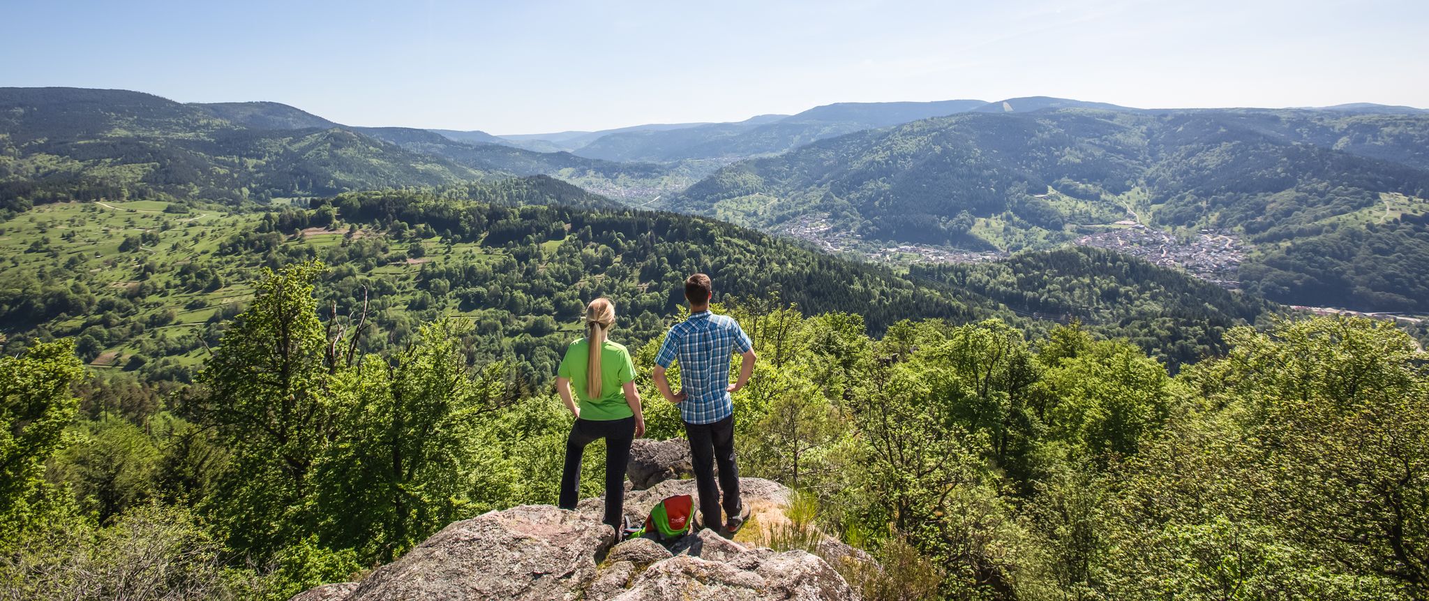
Murgleiter Trail – Experience the diverse Murg Valley in 5 stages
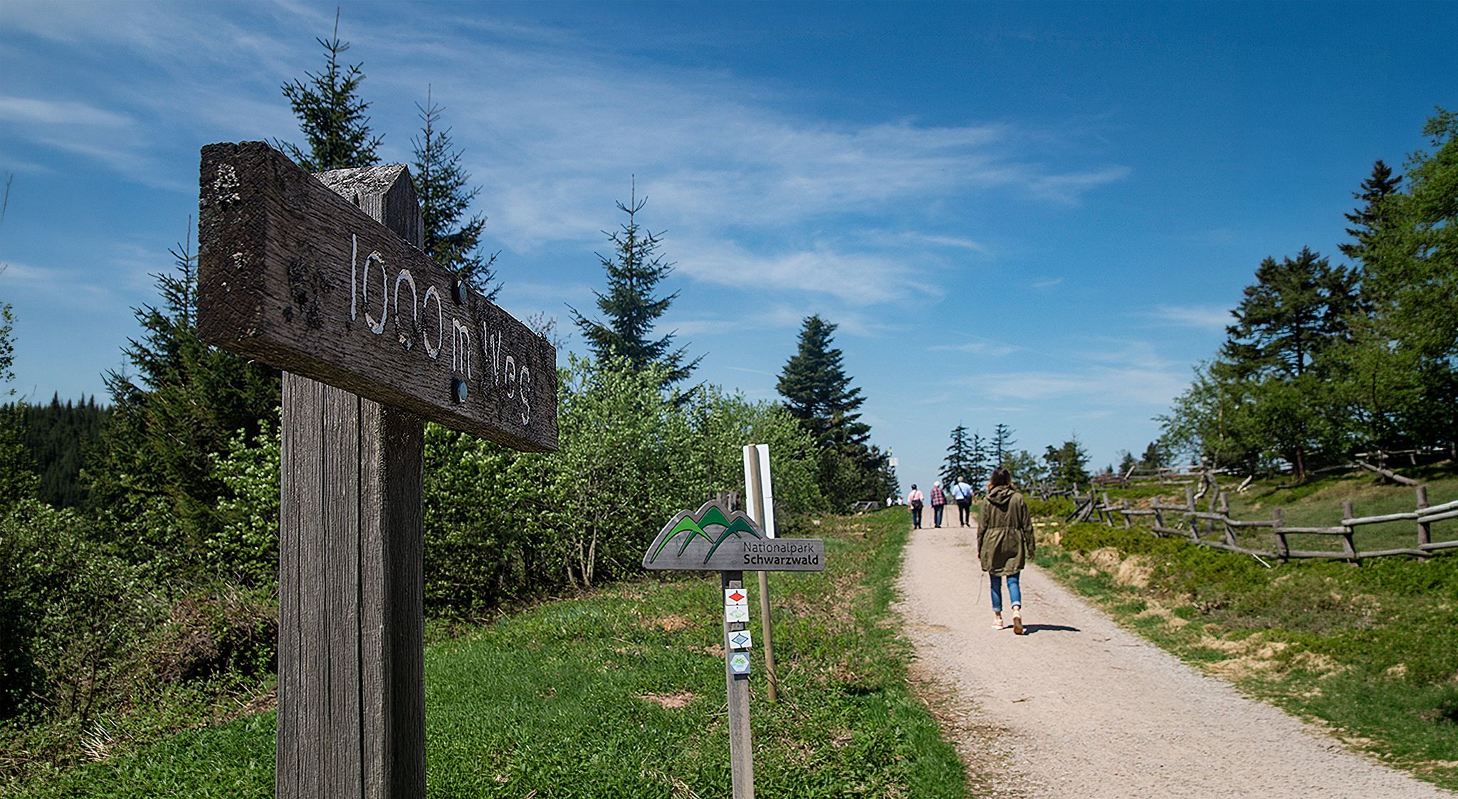
Barrier-free hikes in the Black Forest National Park

Coolcation in the Black Forest – hiking and cooling off in summer

#GoFurther – discover the views of Germany!

Discover premium and quality long-distance hiking in southern Germany
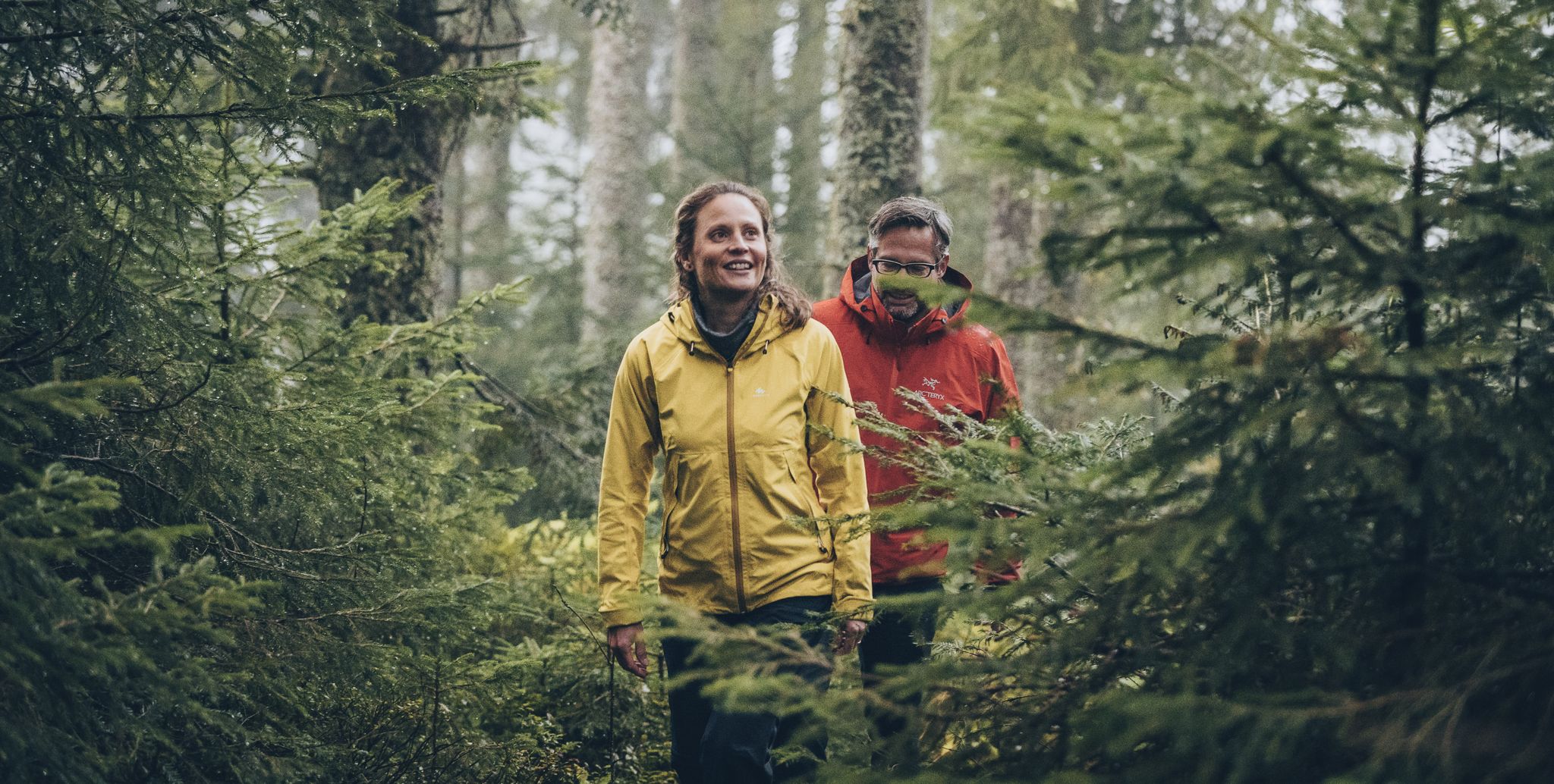
The Murgleiter – 5 days on the move in the northern Black Forest
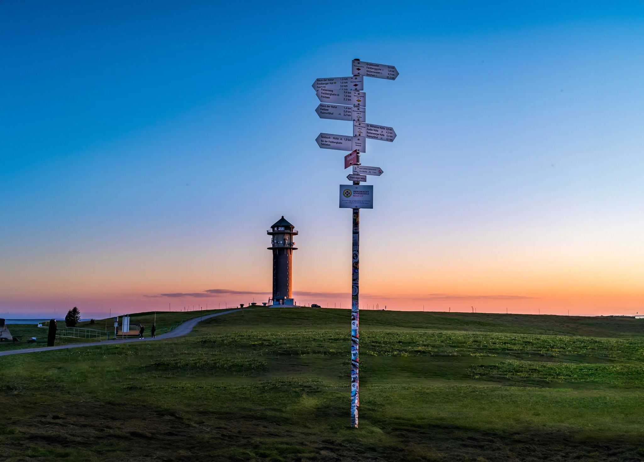
The most beautiful long-distance hiking trails in the Black Forest
Other adventures in Untere Murg (Lsg)


Tips from the Community

Beautiful 360° view, a little further down there is a bar/restaurant and right next to it you can see the paragliders taking off.
0
0

Very beautiful view from the Merkur, located 668 m above sea level, into the Rhine plain, the Vosges and the Black Forest
0
0
The tower, built in 1905, today serves as both an observation point and a transmission mast for SWR. A free glass elevator leads to the viewing platform at a height of 23 meters. From there, a panorama of approximately 700 meters above sea level offers views ranging from the Rhine plain across the Murg valley to the French Vosges. In addition to the view, the summit plateau is a center for hikers and a well-known starting point for paragliders.
0
0
The tower, built in 1905, today serves as both an observation point and a transmission mast for SWR. A free glass elevator leads to the viewing platform at a height of 23 meters. From there, a panorama of approximately 700 meters above sea level offers views ranging from the Rhine plain and the Murg valley to the French Vosges. In addition to the view, the summit plateau is a center for hikers and a well-known launch site for paragliders.
0
0
Very beautiful view from the Merkur, located at 668 m, into the Rhine plain, Vosges and Black Forest
0
0
Very beautiful view from the Merkur, located at 668 m altitude, over the Rhine plain, the Vosges and the Black Forest.
0
0

Small, beautiful and quiet park with recreational and leisure facilities and a little gastronomy.
3
0
Large thermal bath in the spa park with many sports, leisure and wellness offers and a large sauna landscape. Popular.
3
0
Frequently Asked Questions
How many easy hiking trails are available in Untere Murg (Lsg)?
There are over 35 easy hiking trails in Untere Murg (Lsg), offering a variety of experiences from riverside paths to forest strolls. The komoot community has explored more than 60 routes in total, with a significant portion being easy.
What do other hikers say about the easy trails in Untere Murg (Lsg)?
The easy trails in Untere Murg (Lsg) are highly rated by the komoot community, with an average score of 4.6 stars from over 2,700 reviews. Hikers often praise the diverse landscapes, well-maintained paths, and the opportunity to immerse themselves in the Black Forest's natural beauty.
Are there easy circular hiking routes in Untere Murg (Lsg)?
Yes, many easy trails in Untere Murg (Lsg) are circular, making them convenient for day trips. For example, the Favorite Palace Park – Pond at Schloss Favorite Park loop from Kuppenheim is a pleasant 5.1 km circular route, and the Mini Summit of Ottenau – Mümmelmann Hut loop from Gaggenau offers a 4.1 km forested loop.
What kind of natural features or landmarks can I see on easy hikes in Untere Murg (Lsg)?
Easy hikes in Untere Murg (Lsg) often lead through dense Black Forest woodlands and along the Murg river. You can also find impressive viewpoints like the Merkur Tower (Merkurturm), offering panoramic views, or explore unique natural monuments such as the Galgenberg, Lieblingsfelsen, and Scheibenberg Nature Reserve.
Are the easy hiking trails in Untere Murg (Lsg) suitable for families with children?
Many easy trails in Untere Murg (Lsg) are ideal for families, featuring gentle terrain and shorter distances. Routes like the Kuppener Dreieck Junction – Brünnele Natural Spring loop from Kuppenheim are relatively short and offer an enjoyable outdoor experience for all ages.
Can I bring my dog on the easy hiking trails?
Yes, the easy hiking trails in Untere Murg (Lsg) are generally dog-friendly. The region's extensive forest paths and riverside trails provide ample opportunities for you and your canine companion to enjoy nature together. Always keep your dog on a leash where required and be mindful of other hikers and wildlife.
Are there easy trails with good viewpoints in Untere Murg (Lsg)?
Absolutely. While many easy trails focus on forest and river scenery, some offer rewarding views. The region around Merkur Mountain provides several viewpoints, including the View from Merkur Mountain and the View of the Rhine Valley from Merkur, which can be incorporated into longer, easy-to-moderate routes.
What is the best time of year to go on easy hikes in Untere Murg (Lsg)?
The Untere Murg (Lsg) region is beautiful year-round. Spring brings blooming flora, summer offers lush green forests and pleasant temperatures, and autumn showcases vibrant fall colors. Even in winter, easy trails can be enjoyed, especially those on lower elevations or well-maintained paths, though some higher routes might require appropriate gear for snow or ice.
Are there easy trails accessible by public transport in Untere Murg (Lsg)?
The Murgtal region has a good public transport network, including the Murgtalbahn, which runs along the Murg river. Many trailheads for easy hikes are accessible from towns and villages served by these connections, making it convenient to reach your starting point without a car. Check local transport schedules for specific route access.
Are there easy trails near the Schwarzenbach Dam?
Yes, the area around the Schwarzenbach Dam, the largest reservoir in the northern Black Forest, offers beautiful walking opportunities. While the full Murgleiter trail passes by, there are easier sections and paths around the lake that provide scenic views of the dam and surrounding forests, perfect for a relaxed stroll.
Are there options for short, easy walks in Untere Murg (Lsg)?
Yes, the region offers numerous short and easy walks. Many routes are under 5 km, perfect for a quick outing. For instance, the Hiking loop from Staufenberg is just under 4 km, providing a gentle and enjoyable experience.
Are there easy hikes with cafes or restaurants nearby?
Yes, several easy hikes in Untere Murg (Lsg) are close to towns and villages where you can find cafes and restaurants. Some routes might even pass by specific establishments like the Merkurstüble Restaurant or the Fee-Schlapper Hut on the Binsenwasen, offering a convenient stop for refreshments during or after your walk.
Most popular routes in Untere Murg (Lsg)
Most popular attractions in Untere Murg (Lsg)

Get inspired with the komoot mobile app


Explore more
Browse the best Hikes in other regions.
