The best mountain hikes in Geschützter Landschaftsteil Rellstal Und Lünerseegebiet
4.8
(32)
318
hikers
14
hikes
Mountaineering routes in Geschützter Landschaftsteil Rellstal Und Lünerseegebiet traverse the Rätikon mountain range in Vorarlberg, Austria. This region is characterized by rugged peaks, diverse alpine landscapes, and the prominent Lünersee, an alpine lake situated at 1,970 meters above sea level. The Rellstal valley, accessible primarily by foot, offers tranquil surroundings with forests, meadows, and streams, providing varied terrain for mountaineering. The area's geology includes dramatic mountain scenery, making it a significant destination for alpine activities.
Best mountaineering routes in Geschützter…
Last updated: September 27, 2026
4.9
(10)
57
hikers
11.3km
05:59
890m
890m
Hard mountaineering route. Very good fitness required. Sure-footedness, sturdy shoes and alpine experience required.
4.6
(8)
62
hikers
9.24km
03:51
500m
500m
Moderate mountaineering route. Good fitness required. Mostly accessible paths. Sure-footedness required.

41
hikers
Hard mountaineering route. Very good fitness required. Sure-footedness, sturdy shoes and alpine experience required.
5.0
(5)
34
hikers
4.51km
03:09
540m
540m
Hard mountaineering route. Good fitness required. Sure-footedness, sturdy shoes and alpine experience required.
5.0
(4)
26
hikers
4.10km
02:20
380m
380m
Hard mountaineering route. Good fitness required. Sure-footedness, sturdy shoes and alpine experience required.
Get access to more routes and recommendations from other explorers.
Already have an account?
Our route recommendations are based on thousands of hikes, rides, and runs completed by other people on komoot.
Start today with a free account
Your next adventure awaits.
Popular around Geschützter Landschaftsteil Rellstal Und Lünerseegebiet
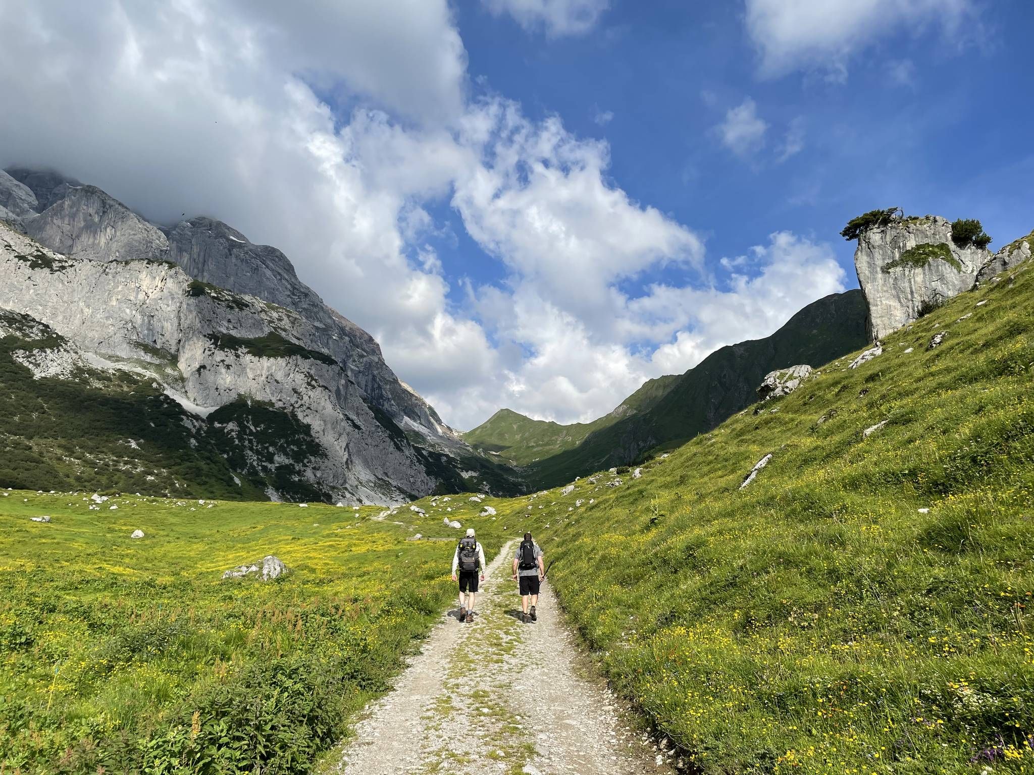
Montafon Hut-to-Hut Hiking Trail – 13 days in Western Austria
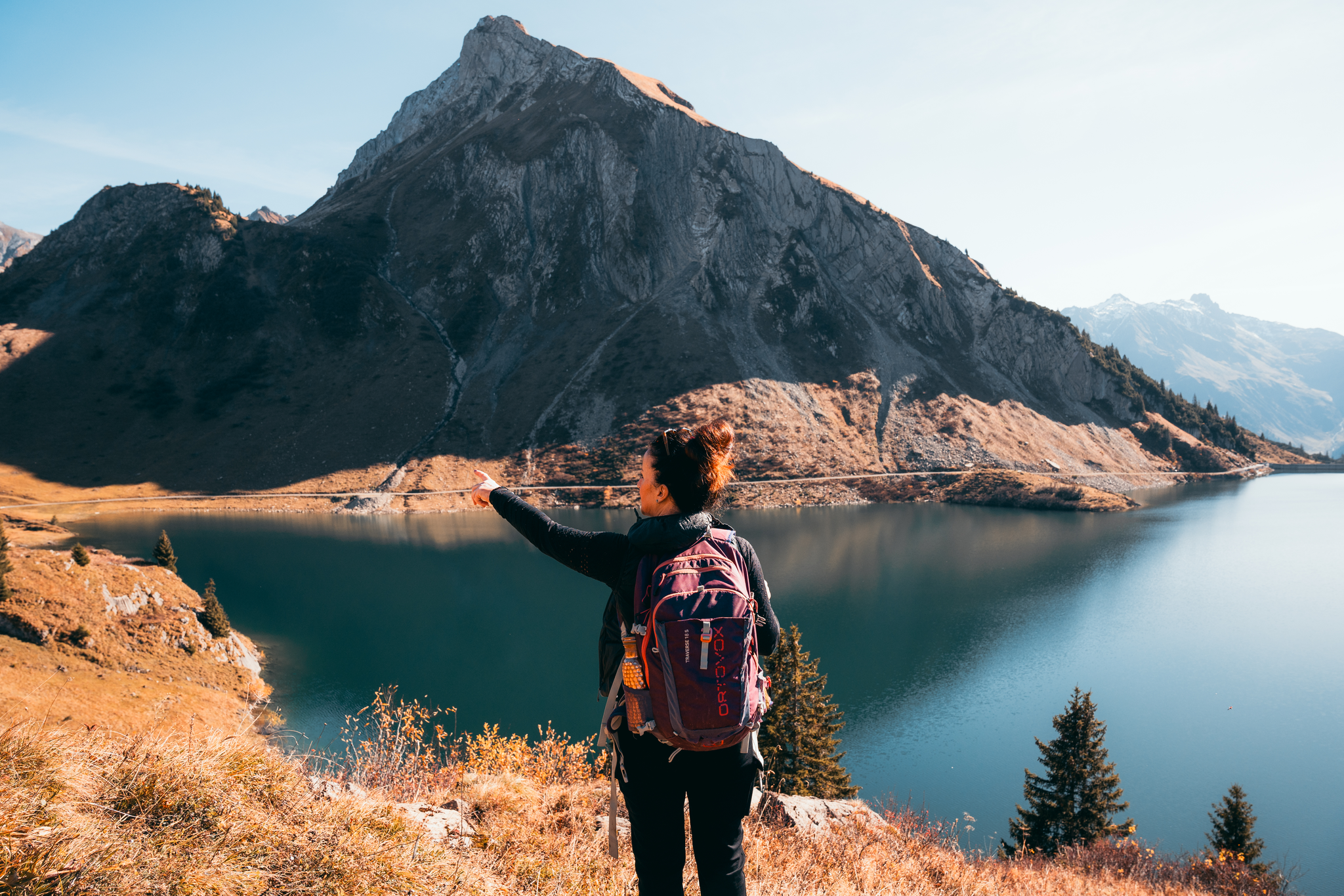
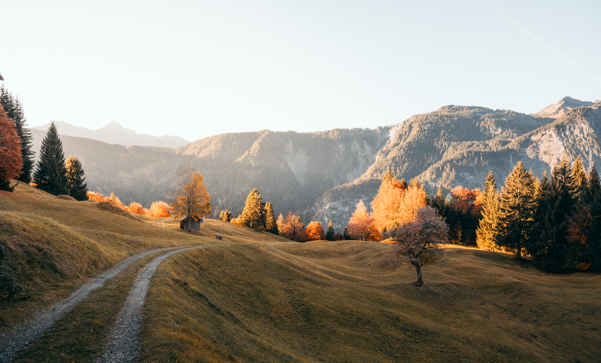
Alpine autumn hikes – when the peaks around Bludenz turn golden
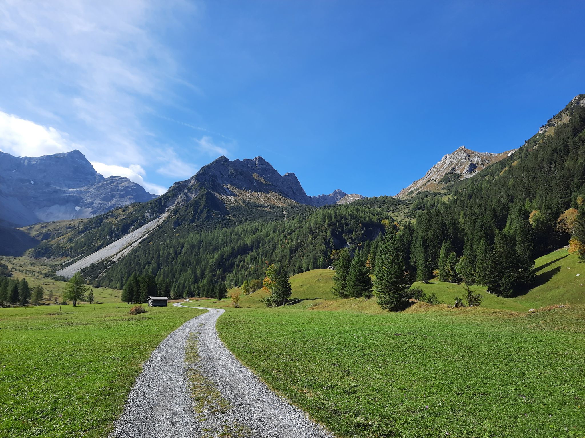
Autumn magic in Brandnertal – 6 hikes for the golden season
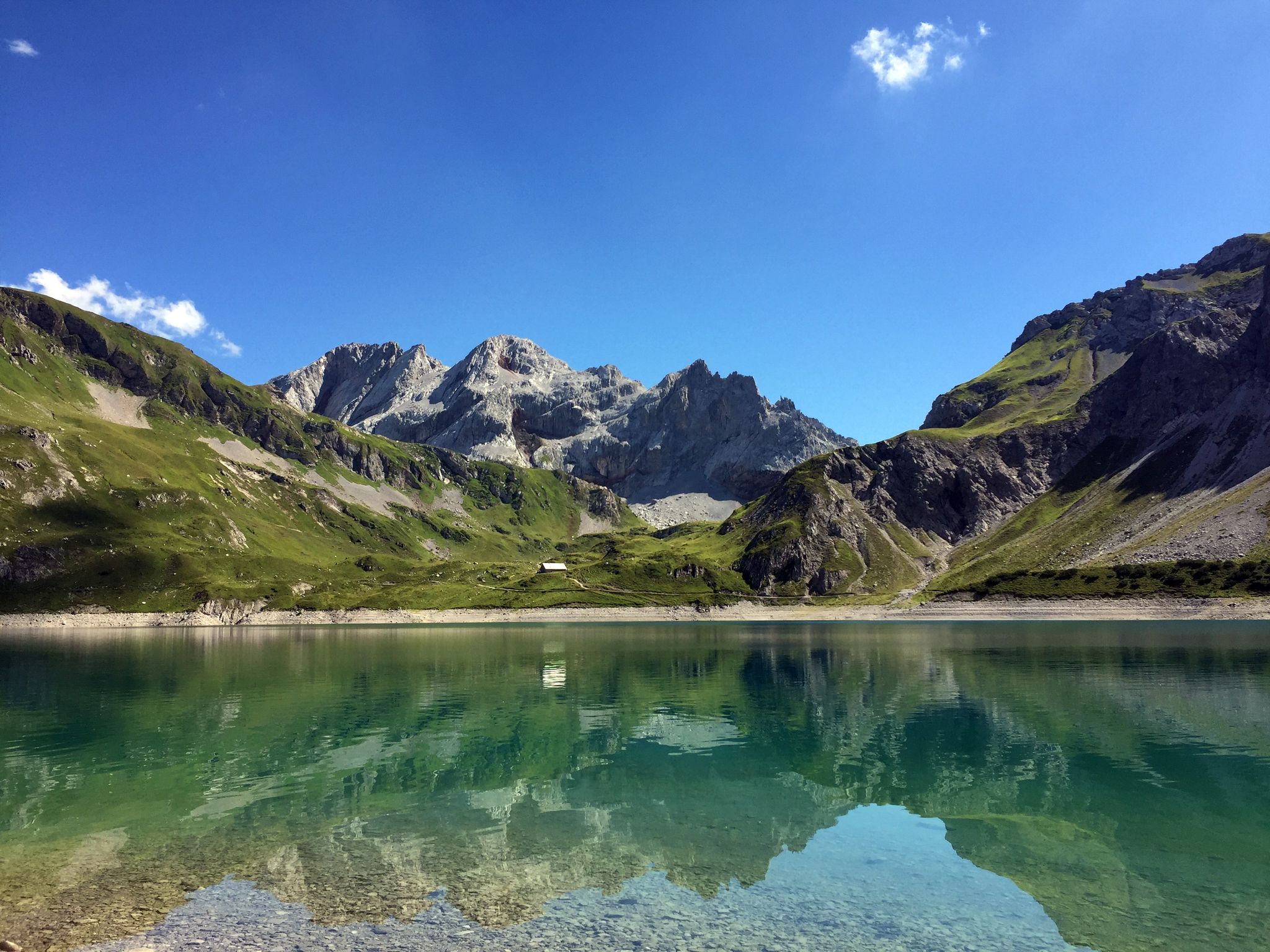
Mighty mountains and historic cities – hiking in Austria
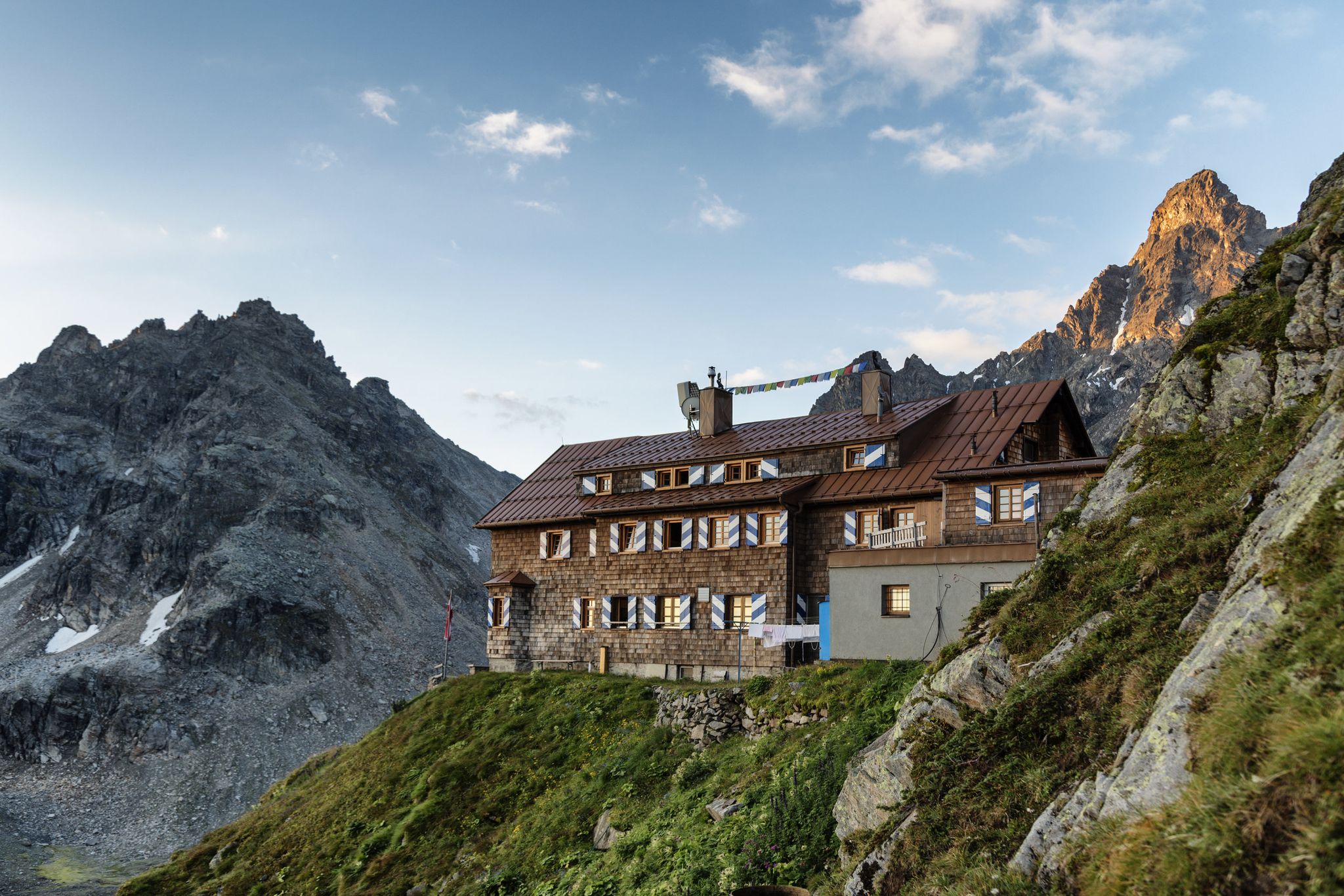
Alpenmosaik Montafon - The Montafoner Hüttenrunde
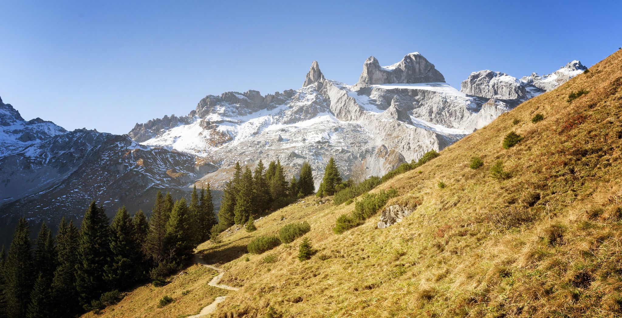
Alpine Mosaic Montafon — Austria’s Rätikon adventure area
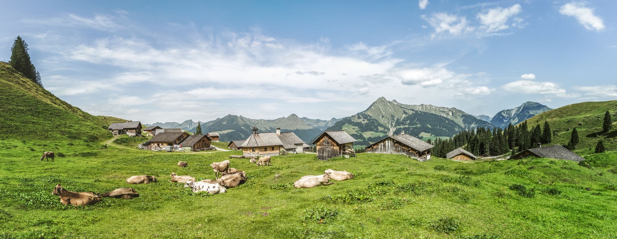
Fun on every path – alpine hiking in Austria’s Vorarlberg

An alpine adventure – from east to west through Austria
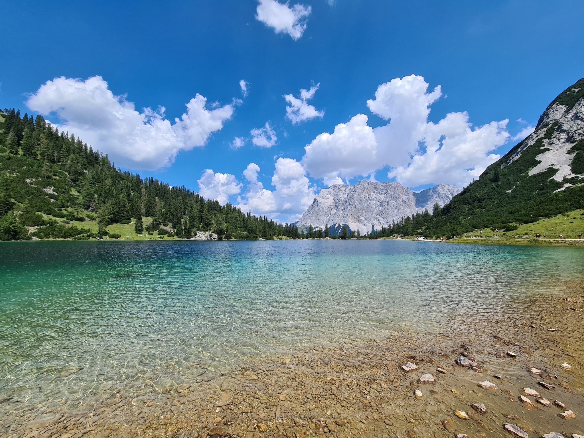
The most wonderful Alpine lakes
Leicht durch den Herbst - Wandern rund um Bludenz
Other adventures in Geschützter Landschaftsteil Rellstal Und Lünerseegebiet


Tips from the Community

End station of the Rellstal hiking bus. The Rellstal hiking bus takes you comfortably to and from the Rellstal from June to early October. The Rellstal is the starting point for mountain tours to the Saula and Zimba and offers many hiking possibilities, such as: Alpe Platzis-Golm, Alpe Lün-Lünerkrinne-Lünersee, Alpe Salonien-Schweizertor-Öfapass-Gauertal, to name just a few. The hiking bus stop is located directly at the Alpengasthaus Rellstal. .
1
0
The Rellser Mariahilfkapelle is a Roman Catholic chapel in the Rellstal in Vandans in Montafon. The chapel was built between 1749 and 1750 for the alpine dwellers of the Rellstal and the first mass was held there in 1750. The original patron saint is Mariahilf (Our Lady Help of Christians) and was later extended to include St. Martin and in 1949 St. Hubertus. https://de.wikipedia.org/wiki/Rellser_Mariahilfkapelle
1
0

Unfortunately, not much snow and ice is visible anymore. The view is still impressive, though. Anyone who gets up here needs the appropriate equipment. Shoes, clothing, backpack with water, etc.
0
0
Alpine path. Hike only with sturdy footwear. The view is worth it
0
0

Along the atmospheric hiking trail near the Lünersee and the Schafgafall, you will encounter the impressive Witzani Hans memorial. This special memorial cross commemorates the mountaineer Hans Witzani, who died in an avalanche on the south slope of the Schafgafall in January 1938. Did you know that this spot has been a popular resting place for mountain hikers in the Rätikon mountains for decades? While you pause here to reflect on the impressive history and the forces of alpine nature, you are simultaneously rewarded with a beautiful panorama of the surrounding mountain peaks and the sparkling reservoir!
0
0
The fairytale-like Lünersee is also known as the pearl of the Rätikon mountains and is hidden at an altitude of no less than 1,970 meters between the steep alpine peaks. Did you know that this magical turquoise lake was originally one of the largest natural mountain lakes in the Eastern Alps until a dam was built in 1958 for hydropower? Today, you can walk a magnificent loop around the water in about two hours, while the mighty Schesaplana – at 2,965 meters, the highest mountain in the Rätikon – proudly towers above you. Thanks to the convenient Lünerseebahn, you can float from the valley to this alpine paradise in a few minutes, where the crystal-clear meltwater seems to glow on sunny days!
0
0

At the beginning of the ascent T2/T3. Later it becomes rockier, steeper and more exposed. Difficulty from approx. halfway up T3+, later T4- with light climbing sections, partly secured with ropes. The last 250 vertical meters are sweat-inducing, but you are rewarded with a dream panorama.
0
0

Lünersee was once a natural mountain lake. By building a dam in 1959, the lake became a reservoir with a capacity of 78.3 million m3. When the lake is full, it is 139 m deep. The circular path around the lake is largely family-friendly and easy to walk.
8
0
Frequently Asked Questions
How many mountaineering routes are available in Geschützter Landschaftsteil Rellstal Und Lünerseegebiet?
There are 14 mountaineering routes available in Geschützter Landschaftsteil Rellstal Und Lünerseegebiet. These routes offer a diverse range of experiences, from moderate loops to challenging ascents.
What are some challenging mountaineering routes in the Rätikon mountains?
For experienced mountaineers seeking a challenge, routes like the Heinrich Hueter Hut – Saulakopf Summit loop from Heinrich-Hueter-Hütte offer significant elevation gain and stunning views. Another demanding option is the Heinrich Hueter Hut – Ascent to Zimba loop from geschützter Landschaftsteil Rellstal und Lünerseegebiet, which takes you through rugged Rätikon terrain. The Schesaplana Summit – View of the Brandner Glacier loop from Schesaplana also provides a difficult ascent to the highest peak in the Rätikon.
Are there any easier mountaineering options for beginners or those seeking a less strenuous experience?
Yes, there are options suitable for those looking for a moderate experience. The Lake Lüner – Totalp Hut loop from Lünersee is a moderate 5.7-mile (9.2 km) path that circles the beautiful Lünersee, offering scenic alpine vistas without extreme difficulty. The well-marked Lünersee Circular Trail, mentioned in regional research, is also suitable for beginners and families.
What natural features and landmarks can I expect to see along the mountaineering routes?
The region is rich in natural beauty. You'll encounter the breathtaking Lünersee South Shore, often called the 'Pearl of the Alps,' with its crystal-clear turquoise waters. Many routes lead to prominent summits such as the Schesaplana Summit and Saulakopf Summit, offering expansive panoramic views. You might also pass through the tranquil Rellstal valley, characterized by forests, meadows, and streams.
Are there any circular mountaineering routes around Lünersee or in Rellstal?
Yes, several routes are designed as loops. A popular choice is the Lake Lüner – Totalp Hut loop from Lünersee, which circles the stunning Lünersee. In the Rellstal area, the Heinrich Hueter Hut – Saulakopf Summit loop from Heinrich-Hueter-Hütte also offers a circular journey through the alpine landscape.
What is the best time of year for mountaineering in this region?
The best time for mountaineering in Geschützter Landschaftsteil Rellstal Und Lünerseegebiet is typically during the warmer months, from late spring to early autumn (June to September). During this period, snow has usually melted from higher elevations, and weather conditions are generally more stable, making trails more accessible and enjoyable. Always check local weather forecasts before heading out.
Can I bring my dog on the mountaineering trails?
While specific regulations for dogs on every trail are not detailed, generally, dogs are welcome on many hiking and mountaineering trails in alpine regions, provided they are kept on a leash, especially in areas with grazing livestock or wildlife. It's always advisable to check local signage or specific trail rules before you go, and ensure your dog is fit for the terrain and duration of the chosen route.
Are there any family-friendly mountaineering routes?
For families, the Lünersee Circular Trail, which loops around the lake, is an excellent choice. It's well-marked and offers stunning views without being overly strenuous. While some of the listed mountaineering routes are more challenging, the moderate Lake Lüner – Totalp Hut loop from Lünersee could also be suitable for families with older, experienced children.
Where can I find refreshments or accommodation near the mountaineering routes?
You'll find several options for refreshments and rest. The Douglasshütte is conveniently located right next to the Lünerseebahn mountain station, offering a restaurant with panoramic views of the lake. In the Rellstal, the Heinrich-Hueter-Hütte serves as a welcoming stop for hikers and mountaineers, providing food and potentially accommodation.
How long do mountaineering routes typically take in Geschützter Landschaftsteil Rellstal Und Lünerseegebiet?
The duration of mountaineering routes varies significantly based on difficulty and distance. For example, the challenging Heinrich Hueter Hut – Saulakopf Summit loop from Heinrich-Hueter-Hütte typically takes around 6 hours and 1 minute to complete. A moderate route like the Lake Lüner – Totalp Hut loop from Lünersee can be completed in about 3 hours and 57 minutes. Always factor in your fitness level and breaks when estimating your total time.
What are the parking and public transport options for accessing the mountaineering routes?
Access to the Lünersee area is facilitated by the Lünerseebahn cable car, which provides quick and scenic transport up to the lake, saving a steep climb. Parking is available at the valley station of the Lünerseebahn. For the Rellstal valley, access is primarily by foot or a special hiking bus, maintaining its tranquil atmosphere. Specific parking details for individual trailheads should be checked locally.
What do other mountaineers say about the routes in Geschützter Landschaftsteil Rellstal Und Lünerseegebiet?
The mountaineering routes in Geschützter Landschaftsteil Rellstal Und Lünerseegebiet are highly rated by the komoot community, with an impressive average score of 4.8 stars from over 30 reviews. Mountaineers often praise the dramatic mountain scenery, the clear waters of Lünersee, and the diverse terrain that offers options for various ability levels.
Are there any specific peaks or summits I can aim for?
Absolutely. The region is part of the Rätikon mountain range, offering several prominent summits. You can aim for the Schesaplana Summit, which is the highest peak in the Rätikon. Other notable summits include the Saulakopf Summit and the Southern Schafgafall, all offering incredible panoramic views.
Most popular routes in Geschützter Landschaftsteil Rellstal Und Lünerseegebiet
Most popular attractions in Geschützter Landschaftsteil Rellstal Und Lünerseegebiet

Get inspired with the komoot mobile app


Explore more
Browse the best Mountain Hikes & Routes in other regions.
