The best running trails in Plateau De Dormillouse
4.3
(60)
1,394
runners
86
runs
Jogging routes in Plateau De Dormillouse traverse a diverse alpine landscape within the Hautes-Alpes region, characterized by high plateaus, deep blue lakes, and lush woodlands. The area features a network of trails winding through alpine meadows and past impressive waterfalls, offering varied terrain for runners. Elevations range from over 1,650 meters, providing panoramic views of surrounding valleys.
Best jogging routes in Plateau De Dormillouse
- The most popular jogging route is Lac Noir – Col Bas loop from Parking du Col…
Last updated: July 13, 2026
6
runners
8.81km
01:15
280m
280m
Hard run. Good fitness required. Sure-footedness, sturdy shoes and alpine experience required.
13
runners
6.47km
00:53
250m
250m
Hard run. Good fitness required. Sure-footedness, sturdy shoes and alpine experience required.

Sign up for free
9
runners
31.6km
05:08
1,860m
1,860m
Hard run. Very good fitness required. Sure-footedness, sturdy shoes and alpine experience required.
4.5
(2)
35
runners
11.2km
01:20
160m
160m
Moderate run. Good fitness required. Mostly paved surfaces. Suitable for all skill levels.
5.0
(2)
27
runners
10.6km
01:16
310m
320m
Hard run. Very good fitness required. Mostly paved surfaces. Suitable for all skill levels.
Get access to more routes and recommendations from other explorers.
Sign up for free
Already have an account?
Our route recommendations are based on thousands of hikes, rides, and runs completed by other people on komoot.
Start today with a free account
Your next adventure awaits.
Login or Signup

Tips from the Community

There are four tunnels, the smaller ones a few hundred meters long, the longest about 2.8 km! It was pitch black (yes, I had my bike lights on), wet, and dripping from the ceiling. I found it totally creepy and wouldn't go through it alone again.
0
0

In September with a strong water flow, it's magnificent. Not to be missed under any circumstances.
1
0

The tip about the hiking poles was very helpful, because the last 150 meters to the waterfall are tough for inexperienced hikers. But the view is very beautiful. We were able to watch a group abseiling down the waterfall
1
0

Completely false description, probably a mistake in location. We are here in the Alpes de Haute Provence. Larches and stone pines, but no umbrella pines. But above all, it is strictly forbidden to swim in the Col Bas lakes (see Prefectural Biotope Protection Order) and also prohibited from leaving mountain bike trails or marked trails.
1
0

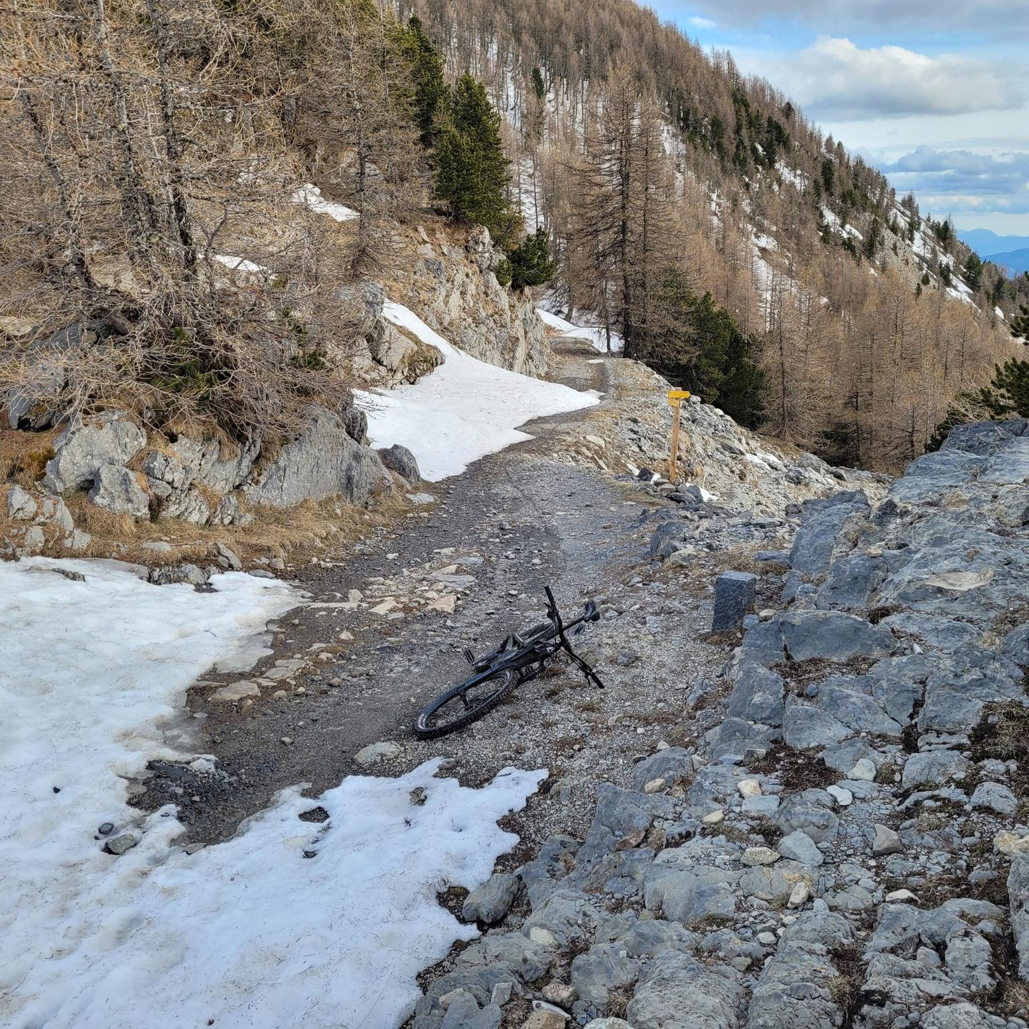
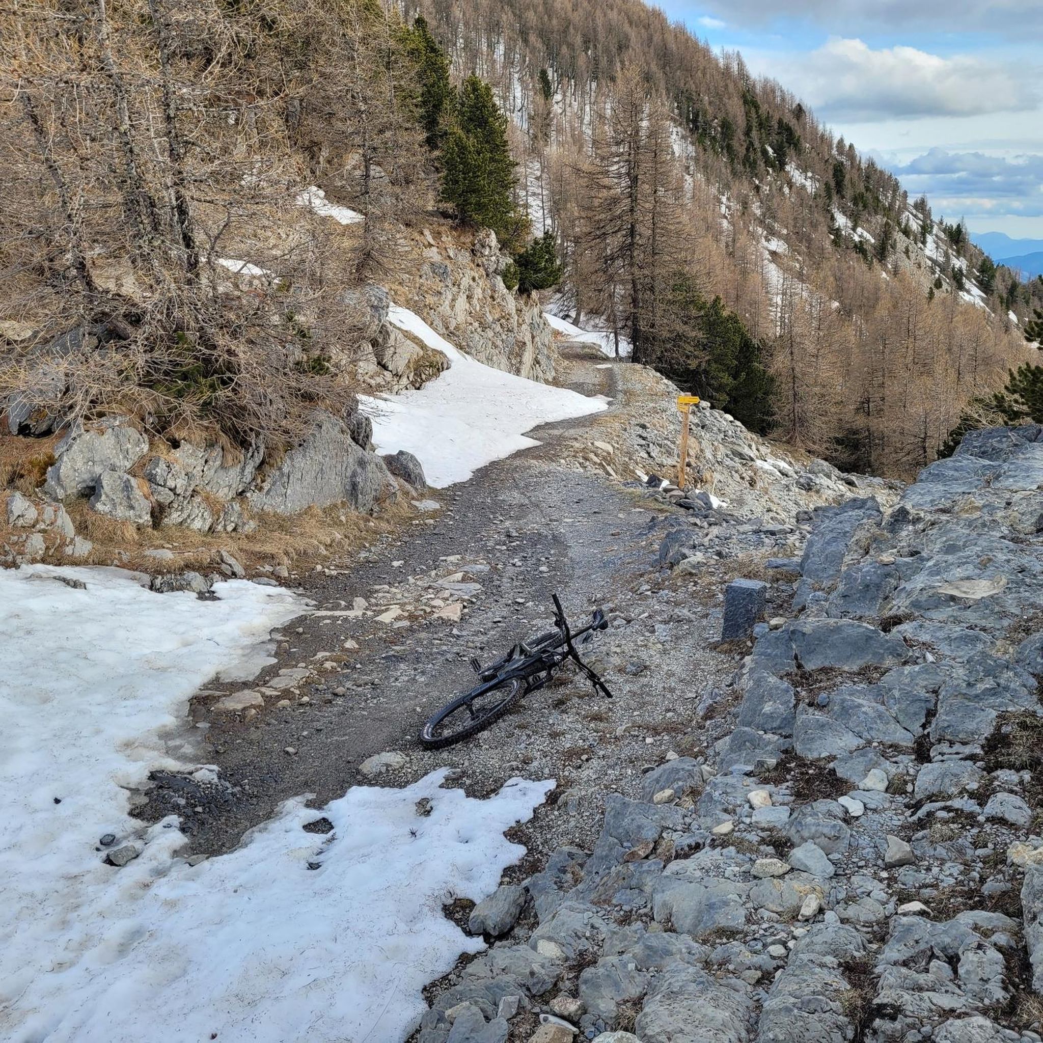
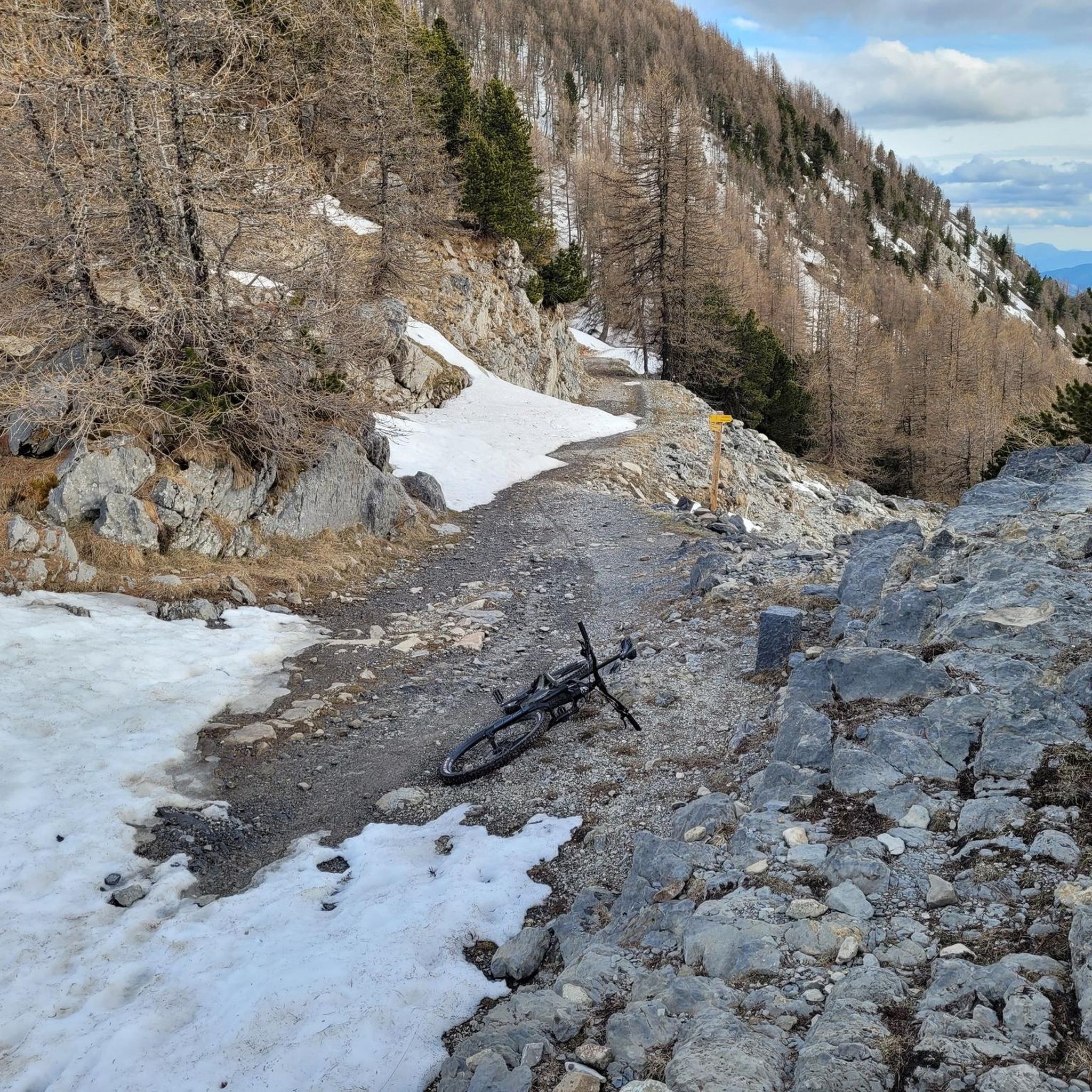
A climb with gentle slopes.
14
0

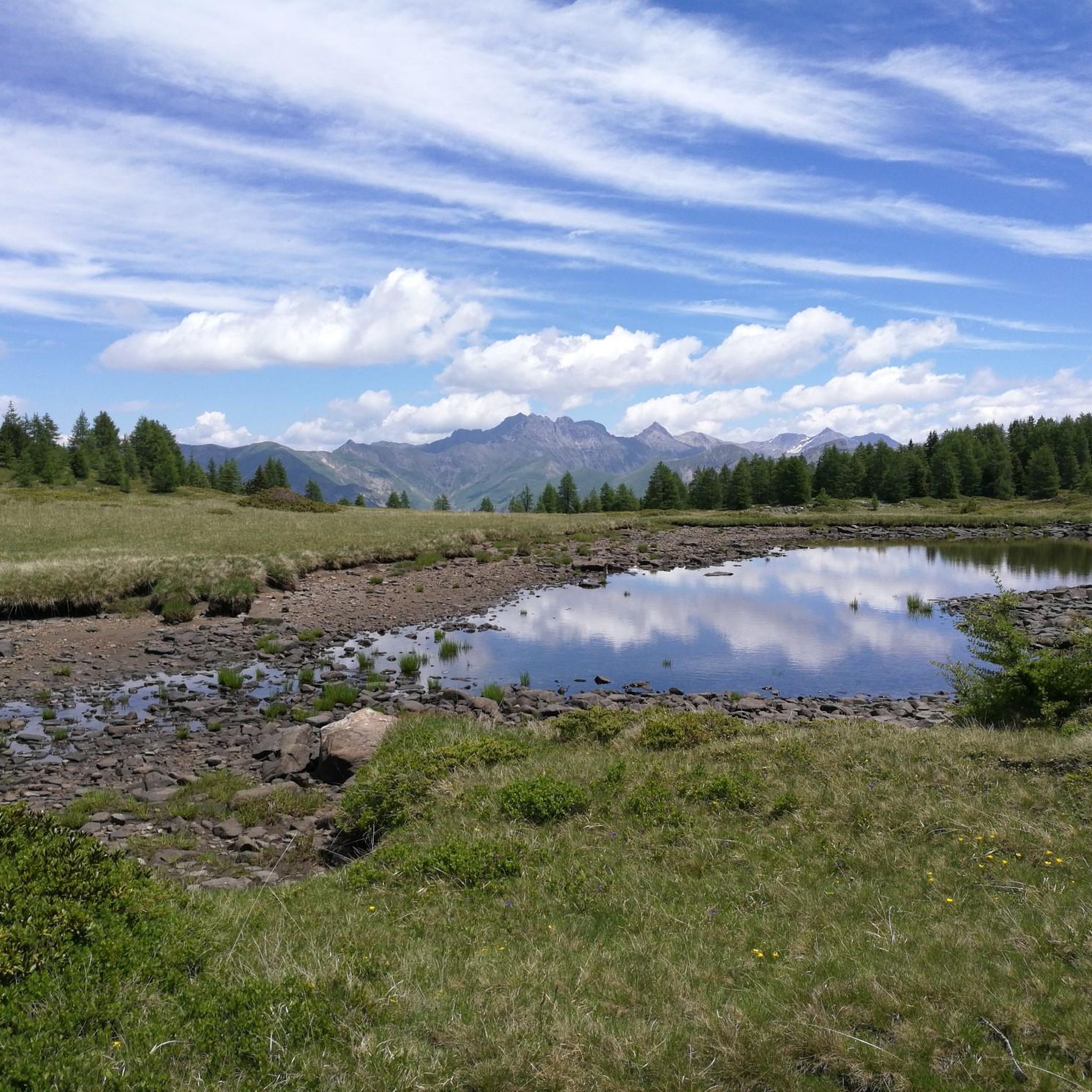
Lac Noir is the highest of the three Col Bas lakes. It is part of the site classified as a sensitive natural area due to its rich and fragile biodiversity.
2
0
Nestled between the Tête du Vallon du Loup and the Savernes peak, the Col Bas culminates at an altitude of 2,115 meters. It opens the way to the lakes of the same name located a little further below.
1
0
Frequently Asked Questions
How many running routes are available in Plateau De Dormillouse?
Plateau De Dormillouse offers a wide selection of running routes, with over 80 trails available for you to explore. These routes traverse diverse alpine landscapes, including high plateaus, deep blue lakes, and lush woodlands.
Are there any easy jogging routes suitable for beginners or families in Plateau De Dormillouse?
While many routes in Plateau De Dormillouse are rated as moderate or difficult, there are a few easier paths. The approximately hour-long walk from the Freissinières car park to Dormillouse village is relatively easy and suitable for a gentle jog. The region generally offers accessible paths perfect for various fitness levels, allowing for enjoyable and less strenuous jogs through woodlands and meadows.
What kind of natural features can I expect to see along the running trails?
The running trails in Plateau De Dormillouse are renowned for their stunning natural beauty. You'll encounter diverse alpine flora and fauna, spectacular waterfalls like the Biaysse waterfalls, and panoramic views of surrounding valleys and snow-capped peaks. Many routes also lead to serene, deep blue lakes such as Lac de Faravel and Lac Palluel, providing picturesque destinations for your runs.
Are there any circular running routes in Plateau De Dormillouse?
Yes, Plateau De Dormillouse features several circular running routes. For a challenging experience, consider the Pic de Charance – Roche Rousse loop from Le Lauzet-Ubaye, which is a difficult 30.8 km path. Another option is the Pic de Charance – Col de la Rousse loop from Le Lauzet-Ubaye, a difficult 22.3 km trail.
What are some notable landmarks or points of interest to see while jogging?
Beyond the natural landscapes, you can discover several interesting landmarks. The village of Dormillouse itself is a unique, inhabited hamlet within the Ecrins National Park, featuring a Protestant church and old school. You might also encounter remnants of ancient mining activities around Fangeas lake. For incredible views, consider visiting Col Bas or the Dormillouse Battery, which offers expansive panoramas of Lac de Serre-Ponçon.
What do other runners enjoy most about jogging in Plateau De Dormillouse?
The komoot community highly rates the running experience in Plateau De Dormillouse, with an average score of 4.3 stars from over 50 reviews. Runners often praise the varied terrain, the breathtaking views, and the immersive experience in nature, highlighting the alpine meadows, deep blue lakes, and impressive waterfalls as key attractions.
When is the best time of year to go running in Plateau De Dormillouse?
The best time for running in Plateau De Dormillouse is primarily during the summer months when most trails are open and accessible. In winter, snowshoeing with a mountain guide is recommended due to avalanche risks, and many trails may be impassable for jogging.
Are there any running routes that pass by waterfalls?
Yes, the region is known for its impressive waterfalls. The Lake Lauzet-Ubaye – Costeplane Waterfalls loop from Le Lauzet-Ubaye is a popular 6.2 km trail that leads through lush woodlands and past waterfalls, offering a refreshing experience for runners.
What is the typical difficulty level of running trails in Plateau De Dormillouse?
The running trails in Plateau De Dormillouse offer a range of difficulties. While there are some easier paths, the majority of routes are rated as moderate or difficult. This is due to the significant elevation gains and varied terrain, which can include steep sections, alpine meadows, and areas of scree, making it ideal for experienced trail runners.
Are there any lakes along the running routes where I can cool off?
Absolutely. Plateau De Dormillouse is home to several beautiful lakes that make for picturesque running destinations. Notable examples include Lac de Faravel and Lac Palluel, nestled in serene settings. The Black Lake (Lac Noir) is also a classified sensitive natural area, offering a stunning view along the Lac Noir – Col Bas loop from Parking du Col Bas.
Is parking available near the running trailheads?
Yes, parking is generally available at common starting points for trails. For instance, the approximately hour-long walk to Dormillouse village often starts from the Freissinières car park. Specific routes, like the Lac Noir – Col Bas loop, indicate starting from the Parking du Col Bas, suggesting designated parking areas.
Most popular routes in Plateau De Dormillouse
Most popular attractions in Plateau De Dormillouse

Get inspired with the komoot mobile app


Explore more
Browse the best Running Trails & Routes in other regions.
