The best running trails in Area Naturale Protetta Di Interesse Locale Valle Del Lato
4.5
(379)
14,950
runners
474
runs
Jogging in Area Naturale Protetta Di Interesse Locale Valle Del Lato offers diverse landscapes for runners. The region is characterized by extensive wooded areas, including sclerophyllous woods, chestnut groves, and Mediterranean scrub, providing varied scenery. The heart of the area is formed by the Valle del Torrente Lato, where the Lato stream flows, shaded by alders and surrounded by ferns. This combination of varied topography, from valleys to mountain slopes, and a network of established trails makes it suitable for…
Last updated: October 2, 2026
5.0
(1)
40
runners
18.3km
02:10
550m
550m
Hard run. Very good fitness required. Sure-footedness, sturdy shoes and alpine experience required.
19
runners
12.0km
01:24
370m
380m
Hard run. Very good fitness required. Mostly paved surfaces. Suitable for all skill levels.

16
runners
6.28km
00:39
50m
50m
Moderate run. Good fitness required. Mostly paved surfaces. Suitable for all skill levels.
5.0
(1)
14
runners
23.0km
02:48
760m
760m
Hard run. Very good fitness required. Sure-footedness, sturdy shoes and alpine experience required.
8
runners
Hard run. Very good fitness required. Sure-footedness, sturdy shoes and alpine experience required.
Get access to more routes and recommendations from other explorers.
Already have an account?
Our route recommendations are based on thousands of hikes, rides, and runs completed by other people on komoot.
Start today with a free account
Your next adventure awaits.
Popular around Area Naturale Protetta Di Interesse Locale Valle Del Lato
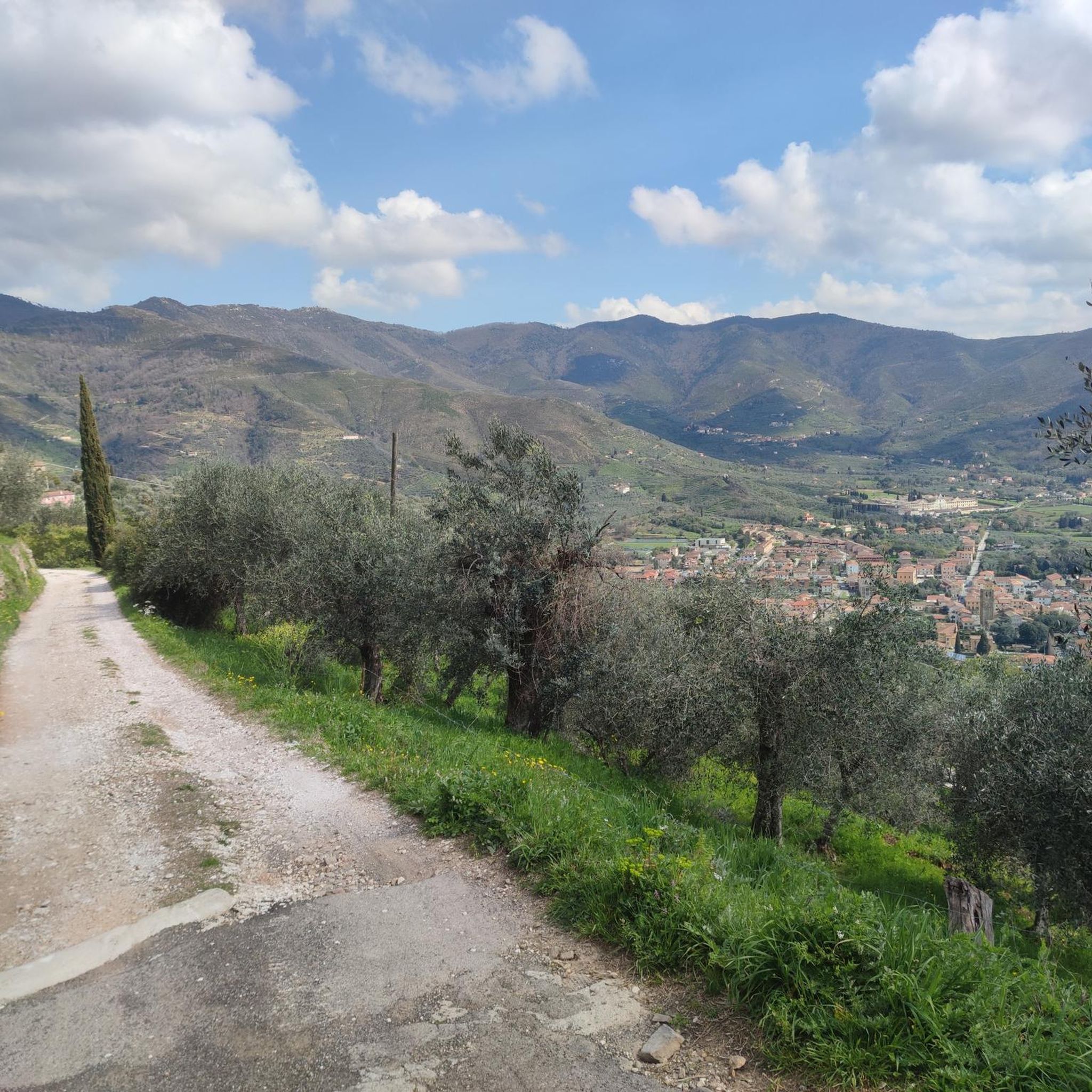
Hiking in Area Naturale Protetta Di Interesse Locale Valle Del Lato
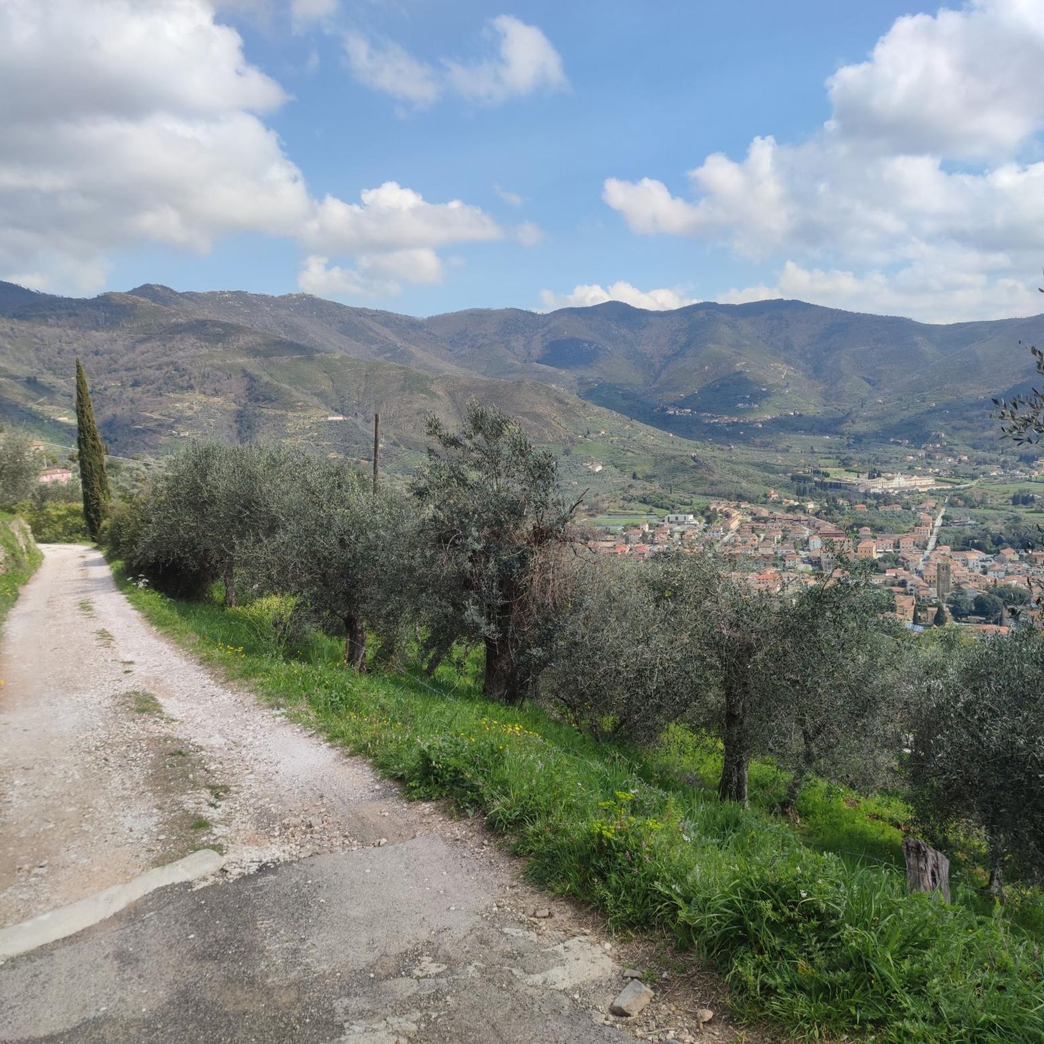
Road Cycling Routes in Area Naturale Protetta Di Interesse Locale Valle Del Lato
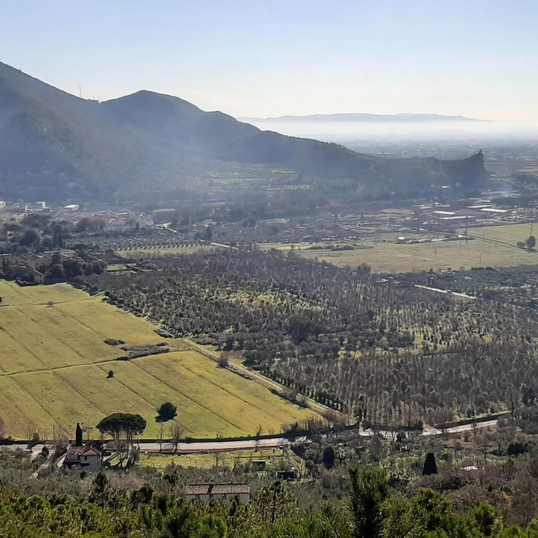
MTB Trails in Area Naturale Protetta Di Interesse Locale Valle Del Lato
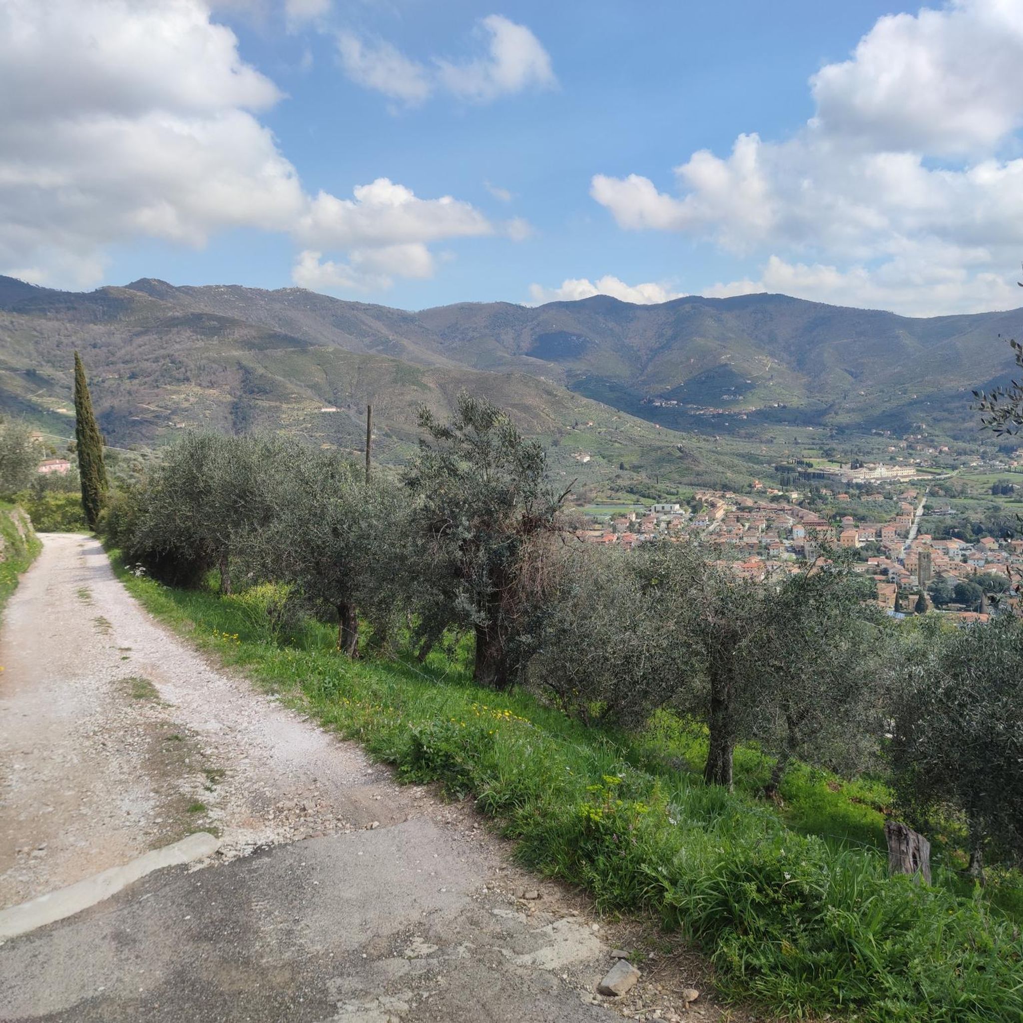
Cycling in Area Naturale Protetta Di Interesse Locale Valle Del Lato
Gravel biking in Area Naturale Protetta Di Interesse Locale Valle Del Lato
Tips from the Community

The Rocca della Verruca is an ancient ruined fortification located on the summit of Monte Verruca (537 meters above sea level), on the border between the municipalities of Calci and Vicopisano, in the province of Pisa. Main information Location: Monti Pisani, it dominates the Pisan plain with a view stretching to the Tyrrhenian Sea. History: The first traces date back to 780 AD, but the current structure was built in the 13th century by the Republic of Pisa as a defensive outpost ("eye of the Pisans"). It was renovated in 1509 by Antonio da Sangallo and Luca del Caprina
0
0
La Rocca della Verruca is an ancient ruined fortification located on the summit of Monte Verruca (537 meters above sea level), on the border between the municipalities of Calci and Vicopisano, in the province of Pisa. Main information Position: Monti Pisani, it dominates the Pisan plain with views stretching to the Tyrrhenian Sea. History: The first traces date back to 780 AD, but the current structure was built in the 13th century by the Republic of Pisa as a defensive outpost ("eye of the Pisans"). It was renovated in 1509 by Antonio da Sangallo and Luca del Caprina
0
0
The Certosa di Calci (also known as Certosa di Pisa or di Val Graziosa) is one of the most extraordinary historical and architectural complexes in Tuscany, located about 10 kilometers from Pisa, in the municipality of Calci. This ancient 14th-century Carthusian monastery, profoundly renovated in Baroque style in the 17th and 18th centuries, amazes with its enormous spaces, the elegance of its cloisters, and the richness of its frescoes.
0
0

La Rocca della Verruca is an ancient ruined fortification located on the summit of Monte Verruca (537 meters above sea level) in the municipality of Calci, in the province of Pisa. It was the most important strategic observation point of the Republic of Pisa on the Monti Pisani. From up there, the Pisan plain and the Arno valley were controlled. In case of danger, the garrison would warn Pisa and the nearby castles with fires and flags. The first evidence dates back to the year 780, but the current fortress was built in the 13th century and was long contested with Florence before falling in the 16th century.
1
0
The Rocca della Verruca is an ancient ruined fortification located on the summit of Monte Verruca (537 meters above sea level) in the municipality of Calci, in the province of Pisa. It was the most important strategic observation point of the Republic of Pisa on the Monti Pisani. From up there, the Pisan plain and the Arno valley were controlled. In case of danger, the garrison would warn Pisa and the nearby castles with fires and flags. The first evidence dates back to the year 780, but the current fortress was built in the 13th century and was long contested with Florence before falling in the 16th century.
1
0

It's a local Cerro Abajo, fun finale descending from the Verruca https://gopro.com/v/5ba980e6-060b-4e40-8220-e7a7066c3196
0
0

Great place to recharge your batteries and enjoy the view!
0
0

Beautiful, I often go there with my daughter. Anyone who comes to Pisa must absolutely visit it.
0
0
Frequently Asked Questions
How many running routes are available in Area Naturale Protetta Di Interesse Locale Valle Del Lato?
There are over 440 running routes in Area Naturale Protetta Di Interesse Locale Valle Del Lato. These include a variety of options, with approximately 35 easy routes, over 220 moderate routes, and more than 180 difficult trails, catering to all fitness levels.
What kind of terrain can I expect on the jogging trails in Valle Del Lato?
The terrain is quite diverse, ranging from varied topography with mountain slopes to valleys. You'll find extensive wooded areas, including sclerophyllous woods, chestnut groves, and Mediterranean scrub. Many routes also follow the refreshing
Valle del Torrente Lato, where the Lato stream flows, shaded by ancient alders and surrounded by ferns. This mix provides a constantly changing backdrop for your run.
Are there easy running routes suitable for beginners in the area?
Yes, Area Naturale Protetta Di Interesse Locale Valle Del Lato offers around 35 easy running routes perfect for beginners or those looking for a relaxed jog. These trails typically feature minimal elevation changes and provide a gentle introduction to the area's natural beauty.
Can I find challenging running trails in Valle Del Lato?
Absolutely. For experienced runners seeking a challenge, there are over 180 difficult running trails. Routes like Monte Bianco – Grotta del Cane di Uliveto loop from Calci, for instance, feature significant elevation gain through varied terrain, offering a demanding workout.
Are there circular running routes available in Area Naturale Protetta Di Interesse Locale Valle Del Lato?
Yes, many of the running routes in the area are circular, allowing you to start and finish at the same point. Examples include the moderate Grotta del Pippi K118 loop from Calci or the Buca triangolare loop from Calci, which leads through wooded areas.
What natural features or landmarks can I see while running?
While running, you can explore diverse forests, the tranquil
Valle del Torrente Lato with its ancient alders and ferns, and various springs. Notable points of interest include the Campo di Croce Trail Junction and the Monte Verruchino Summit, which offer scenic views and natural beauty.
Are the running trails in Valle Del Lato family-friendly?
Many of the easier and moderate trails are suitable for families, especially those with minimal elevation changes. The established network of paths provides safe and enjoyable options for a family outing, allowing everyone to experience the natural environment.
Can I bring my dog on the running trails?
The Area Naturale Protetta Di Interesse Locale Valle Del Lato is generally welcoming to dogs, given its natural setting. However, it's always advisable to keep your dog on a leash, especially due to the presence of wildlife like foxes and wild boars, and to respect other trail users and local regulations.
Where can I park when visiting the running routes?
The municipality of Calci has a public car park in Castelmaggiore, which serves as a starting point for several trails, including a didactic water path. This is a convenient option for accessing the running routes within the protected area.
Is public transport available to access the running trails?
While specific public transport routes directly to trailheads are not detailed, the area is located within the municipality of Calci. Checking local bus services connecting to Calci would be the best approach to determine public transport access to the trail network.
What do other runners enjoy about the trails in Area Naturale Protetta Di Interesse Locale Valle Del Lato?
The running trails in Area Naturale Protetta Di Interesse Locale Valle Del Lato are highly rated by the komoot community, with an average score of 4.5 stars from over 400 reviews. Runners often praise the diverse landscapes, the refreshing presence of the Lato stream, and the well-marked trails that cater to various ability levels.
Are there any viewpoints along the running trails?
Yes, several trails offer panoramic views. For instance, the Campo di Croce Trail Junction – Monte Faeta Summit View loop from Tre Colli provides excellent vistas. Additionally, the Monte Verruchino Summit is a highlight known for its scenic outlooks.
Are there cafes or places to refuel near the running routes?
The protected area is entirely within the municipality of Calci. While the trails themselves are natural, you can find cafes, pubs, and restaurants in Calci itself to refuel before or after your run. It's recommended to check local listings for specific establishments.
Most popular routes in Area Naturale Protetta Di Interesse Locale Valle Del Lato
Most popular attractions in Area Naturale Protetta Di Interesse Locale Valle Del Lato

Get inspired with the komoot mobile app


Explore more
Browse the best Running Trails & Routes in other regions.
