The best mountain hikes in Champlas - Colle Sestriere
4.5
(9)
133
hikers
14
hikes
Mountaineering routes in Champlas - Colle Sestriere are set within the Italian Alps, characterized by dramatic mountainous terrain and high-altitude features. The region includes significant peaks like Monte Fraiteve at 2,701 meters and Monte Albergian at over 3,000 meters, alongside mountain passes such as Col Basset (2,421 meters) and Colle del Sestriere. Diverse landscapes feature dense forests, alpine meadows, and rocky slopes, providing varied environments for challenging ascents and exploration.
Best mountaineering routes in Champlas - Colle Sestriere
- The most…
Last updated: July 7, 2026
5.0
(1)
12
hikers
14.6km
07:21
1,180m
1,180m
Hard mountaineering route. Very good fitness required. Sure-footedness, sturdy shoes and alpine experience required.
5.0
(1)
11
hikers
19.4km
07:22
1,080m
1,080m
Hard mountaineering route. Very good fitness required. Mostly accessible paths. Sure-footedness required.

Sign up for free
4.0
(1)
30
hikers
6.22km
03:18
410m
410m
Hard mountaineering route. Good fitness required. Sure-footedness, sturdy shoes and alpine experience required.
10
hikers
18.2km
07:35
1,410m
1,410m
Hard mountaineering route. Very good fitness required. Mostly accessible paths. Sure-footedness required.
12
hikers
5.90km
02:56
510m
510m
Hard mountaineering route. Good fitness required. Sure-footedness, sturdy shoes and alpine experience required.
Get access to more routes and recommendations from other explorers.
Sign up for free
Already have an account?
Our route recommendations are based on thousands of hikes, rides, and runs completed by other people on komoot.
Start today with a free account
Your next adventure awaits.
Login or Signup
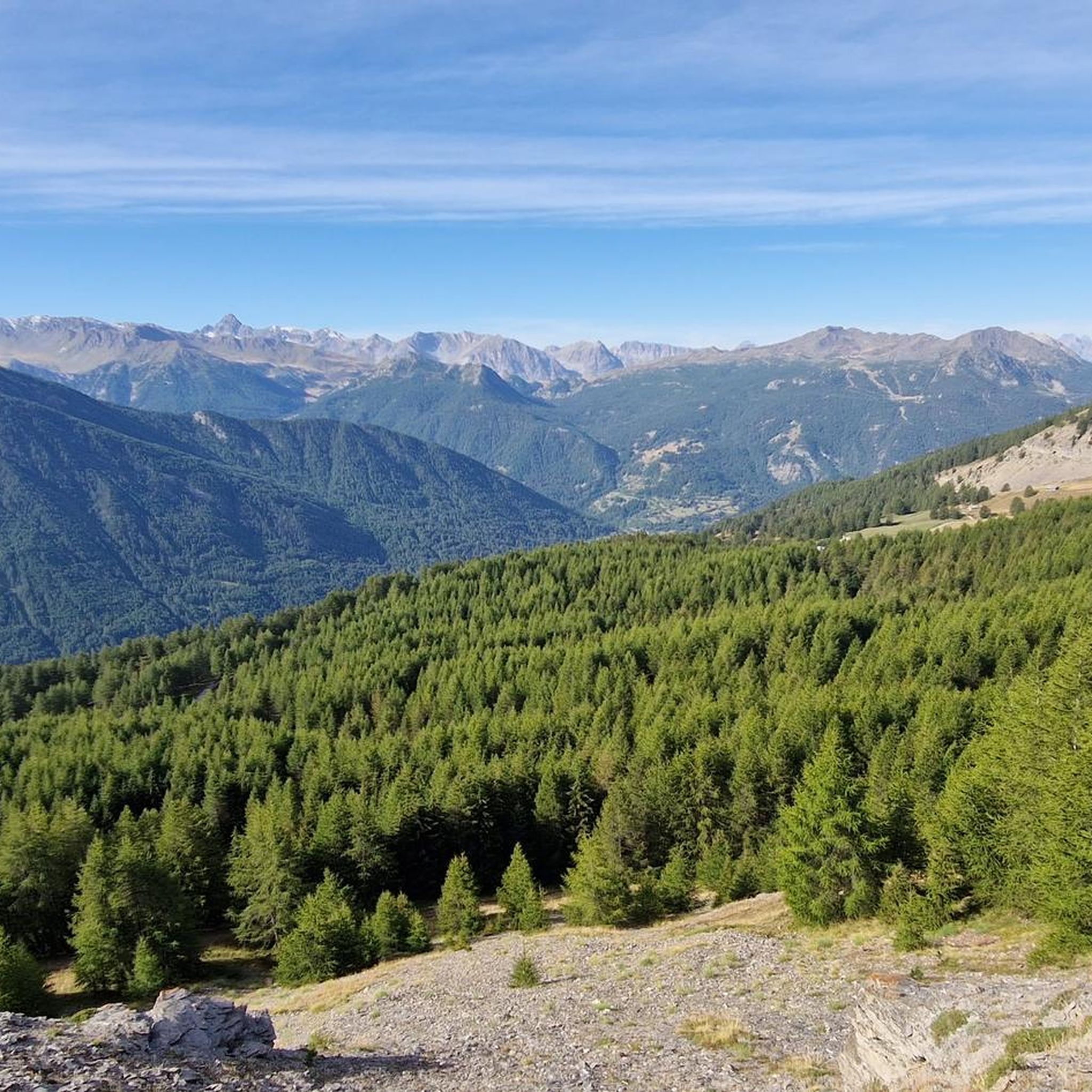
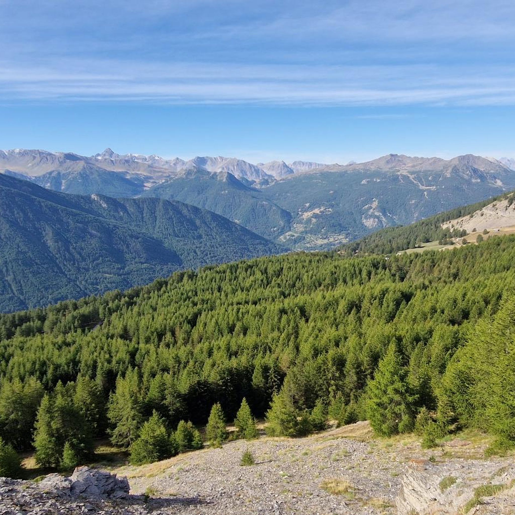

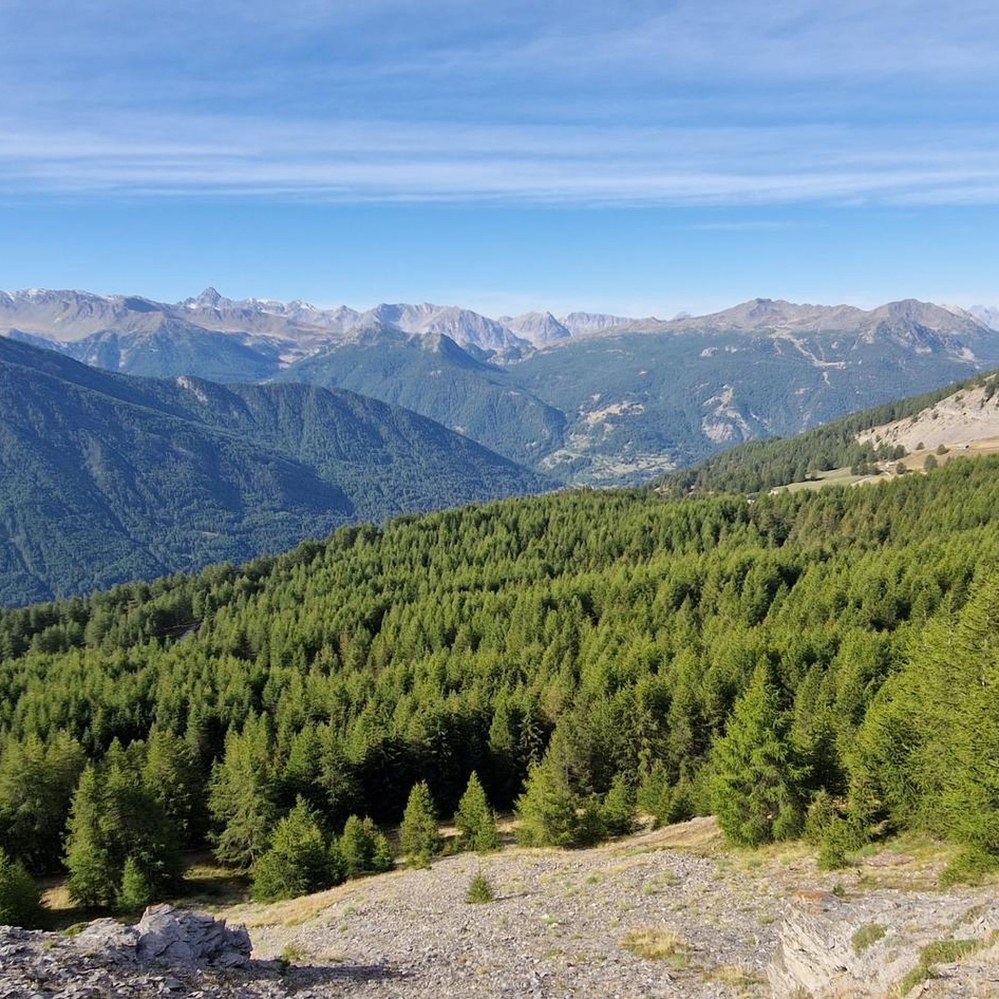
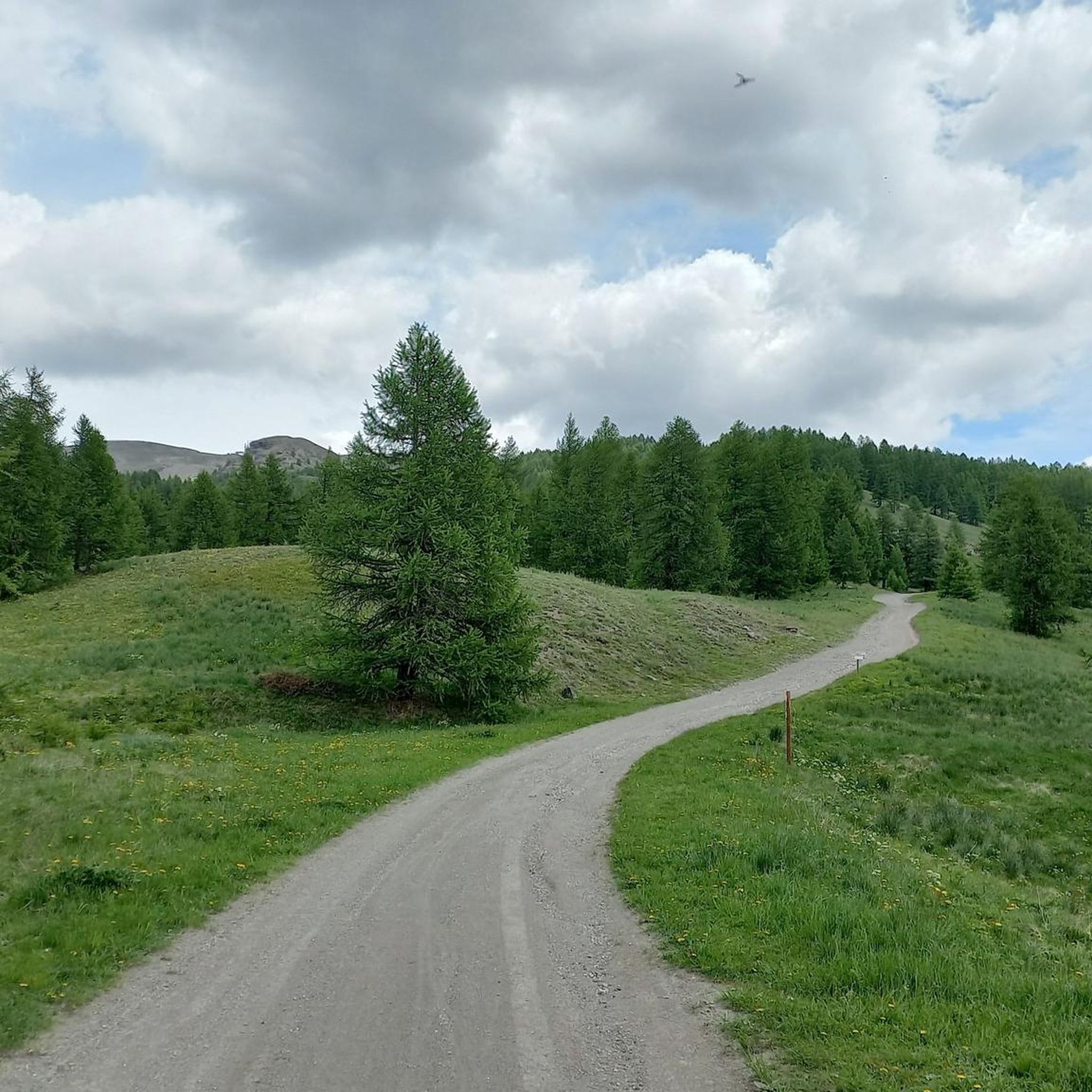
Tips from the Community

A summit offering a stunning 360-degree view! Highly recommended for a beautiful sunset!
0
0

as soon as you arrive at the high battery you will see a semi-ruined building...go in and admire the 224 steps that lead you directly to the highest point of the battery...bring a small torch
0
0

It can be reached starting from Thures with a simple walk suitable for everyone
0
0

Easy walk, low altitude difference and paths accessible to all. Fascinating springs of ferruginous water, very beautiful valley and landscape. Too bad there is no real destination to reach where you can stop to eat and rest a bit.
0
1

Very characteristic and pretty village both in winter and summer.
0
0

Nice village of Cesana, where access by motor vehicles, lately, is allowed only to residents. If we want to go on an excursion that passes through here, we have to start 2 km before, at the beginning of the dirt road, on the bend of the road that goes to Thures
0
0

beautiful waterfall at the base of the start of the bunker via ferrata
0
0

Frequently Asked Questions
How many mountaineering routes are available in Champlas - Colle Sestriere?
There are over 15 dedicated mountaineering routes in Champlas - Colle Sestriere, offering a variety of challenges across the Italian Alps. These routes are highly rated by the komoot community, with an average score of 4.4 stars.
What kind of terrain can I expect on mountaineering routes in Champlas - Colle Sestriere?
Mountaineering routes in Champlas - Colle Sestriere feature dramatic mountainous terrain, high-altitude passes, and significant peaks. You'll traverse diverse landscapes including dense forests, alpine meadows, and rocky slopes, providing varied environments for challenging ascents and exploration.
Are there any moderate mountaineering routes for those looking for a less strenuous climb?
Yes, while many routes are difficult, there are moderate options available. For example, the Cima del Bosco loop from Thures is a moderate 8.3 km (5.1 miles) trail that takes about 4 hours, leading through forested areas with views of the surrounding peaks.
What are some of the more challenging mountaineering routes in the region?
For experienced mountaineers, routes like the Laghetto del Chiosonetto – Chisonetto Springs loop from Sestriere offer a significant challenge. This difficult 14.6 km (9.0 miles) route involves over 1180 meters of elevation gain and takes around 7 hours 20 minutes to complete, exploring high-altitude terrain with expansive views.
Are there any circular mountaineering routes in Champlas - Colle Sestriere?
Yes, many routes are designed as loops, allowing you to start and finish in the same location. The Monte Giassiez loop from Thures is a challenging 19.3 km (12.0 miles) circular path with over 1080 meters of elevation gain, traversing rugged alpine landscapes.
What natural features or landmarks can I see along the mountaineering routes?
The region is rich in natural beauty and historical sites. You can encounter features like Monte Fraiteve (2,701m), Col Basset (2,421m), and the Gran Bosco di Salbertrand Nature Park. Historical points of interest include the Forte Seguin Ruins and the scenic Grange Elp viewpoint.
What is the best time of year for mountaineering in Champlas - Colle Sestriere?
The best time for mountaineering in Champlas - Colle Sestriere is typically during the warmer months, from late spring to early autumn, when trails are clear of snow and weather conditions are more stable. However, the region is also known for ski mountaineering in winter, offering a different kind of alpine adventure.
Are there any routes that lead to mountain huts or bivouacs?
Yes, some routes provide access to mountain shelters. The Bivacco Matteo Corradini loop from Thures is a challenging 14.5 km (9.0 miles) route that leads to this bivouac, offering a high-alpine experience with significant elevation gain.
What kind of views can I expect on these mountaineering routes?
The mountaineering routes in Champlas - Colle Sestriere offer breathtaking panoramic views of the surrounding Italian Alps. From high-altitude passes like Col Basset, you can often see the Monviso Massif, the Cottian Alps, Mount Rocciamelone, and Gran Paradiso.
Are there any specific climbing routes for more technical mountaineering?
While many routes are challenging hikes, some cater to more technical ascents. The Fungo Magico Climbing Route loop from Claviere is a difficult 6.6 km (4.1 miles) route that includes elements of climbing, making it suitable for those seeking a more technical experience.
What makes Champlas - Colle Sestriere a unique mountaineering destination?
Champlas - Colle Sestriere stands out due to its dramatic alpine landscapes, including significant peaks over 2,700 meters, and its extensive network of trails that cater to various difficulty levels. The region's blend of challenging ascents, stunning panoramas, and rich natural and historical features provides a comprehensive mountaineering experience in the Italian Alps.
Most popular routes in Champlas - Colle Sestriere
Most popular attractions in Champlas - Colle Sestriere

Get inspired with the komoot mobile app


Explore more
Browse the best Mountain Hikes & Routes in other regions.
