The best road cycling routes in Riserva Naturale Valli Di Sant'Antonio
4.6
(294)
18,102
riders
83
rides
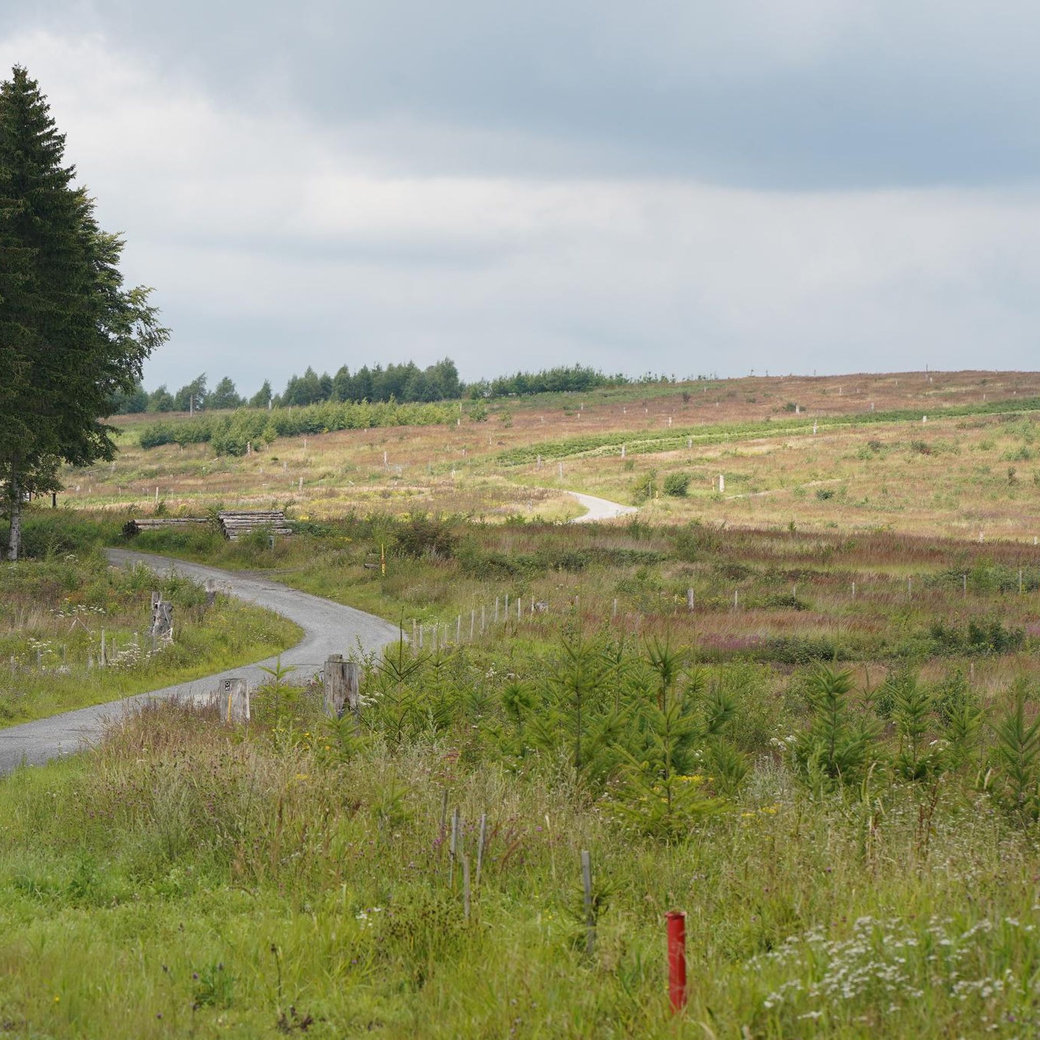
Road cycling routes in Riserva Naturale Valli Di Sant'Antonio traverse the eastern Orobic Alps, characterized by two valleys, Val Brandet and Valle di Campovecchio. The terrain features torrents, diverse forest ecosystems, and alpine scenery, with initial paved sections leading to the village of Sant'Antonio. Beyond this point, routes often transition to dirt roads, offering a mix of surfaces and varying elevation profiles. Cyclists encounter green meadows, forests, and opportunities to extend rides towards higher altitudes.
Best road cycling routes in…
Last updated: September 27, 2026
4.5
(4)
134
riders
46.0km
02:44
1,140m
1,140m
Hard road ride. Very good fitness required. Some segments of this route may be unpaved and difficult to ride.
4.7
(3)
117
riders
37.1km
02:08
850m
850m
Moderate road ride. Good fitness required. Some segments of this route may be unpaved and difficult to ride.

132
riders
35.0km
01:49
630m
640m
Moderate road ride. Good fitness required. Mostly well-paved surfaces and easy to ride.
16
riders
56.8km
03:31
1,550m
1,560m
Hard road ride. Very good fitness required. Mostly well-paved surfaces and easy to ride.
8
riders
18.9km
01:03
370m
370m
Moderate road ride. Good fitness required. Some segments of this route may be unpaved and difficult to ride.
Get access to more routes and recommendations from other explorers.
Already have an account?
Our route recommendations are based on thousands of hikes, rides, and runs completed by other people on komoot.
Start today with a free account
Your next adventure awaits.
Popular around Riserva Naturale Valli Di Sant'Antonio

Peaks, rock carvings and mountain huts – hike Italy’s Val Camonica
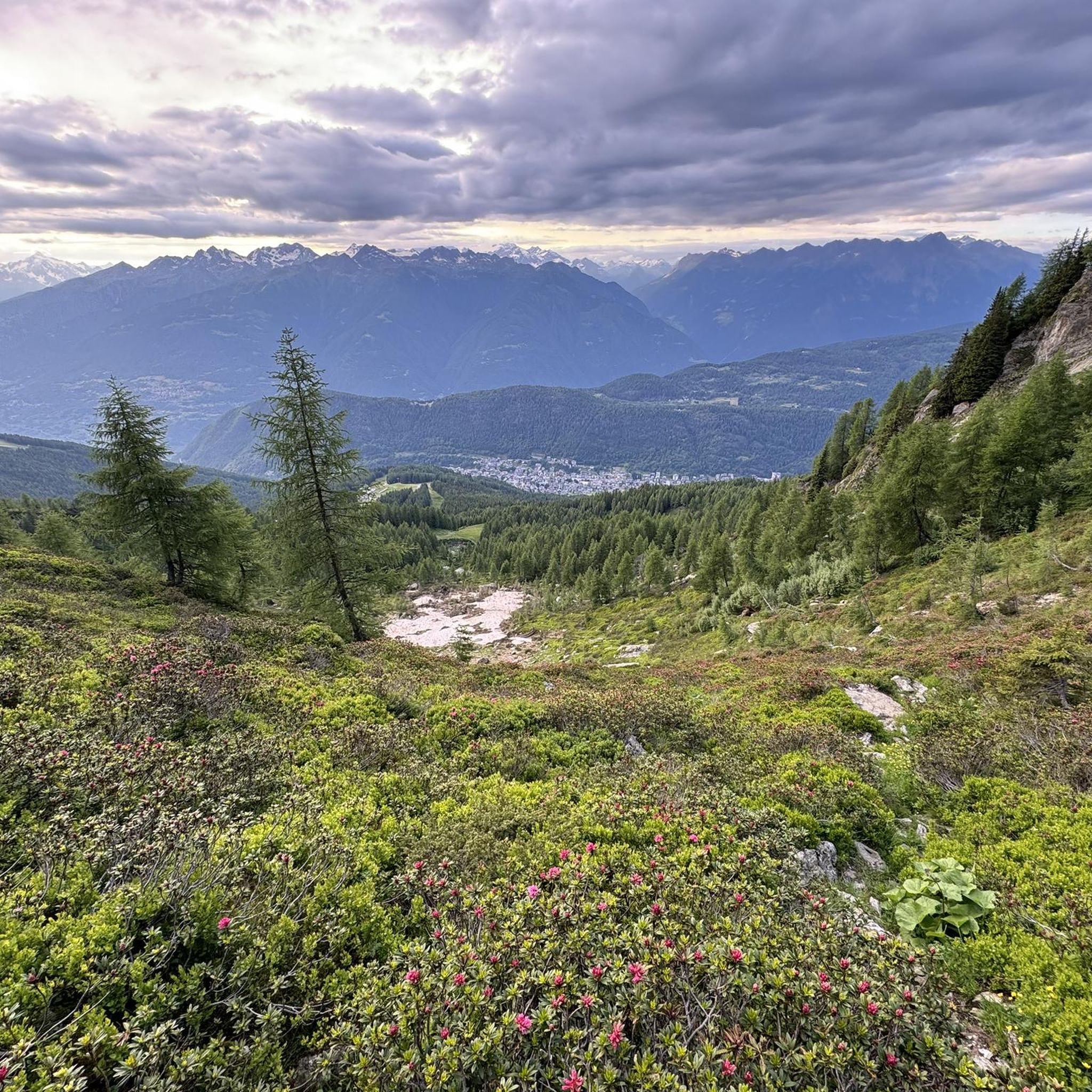
Hiking in Riserva Naturale Valli Di Sant'Antonio
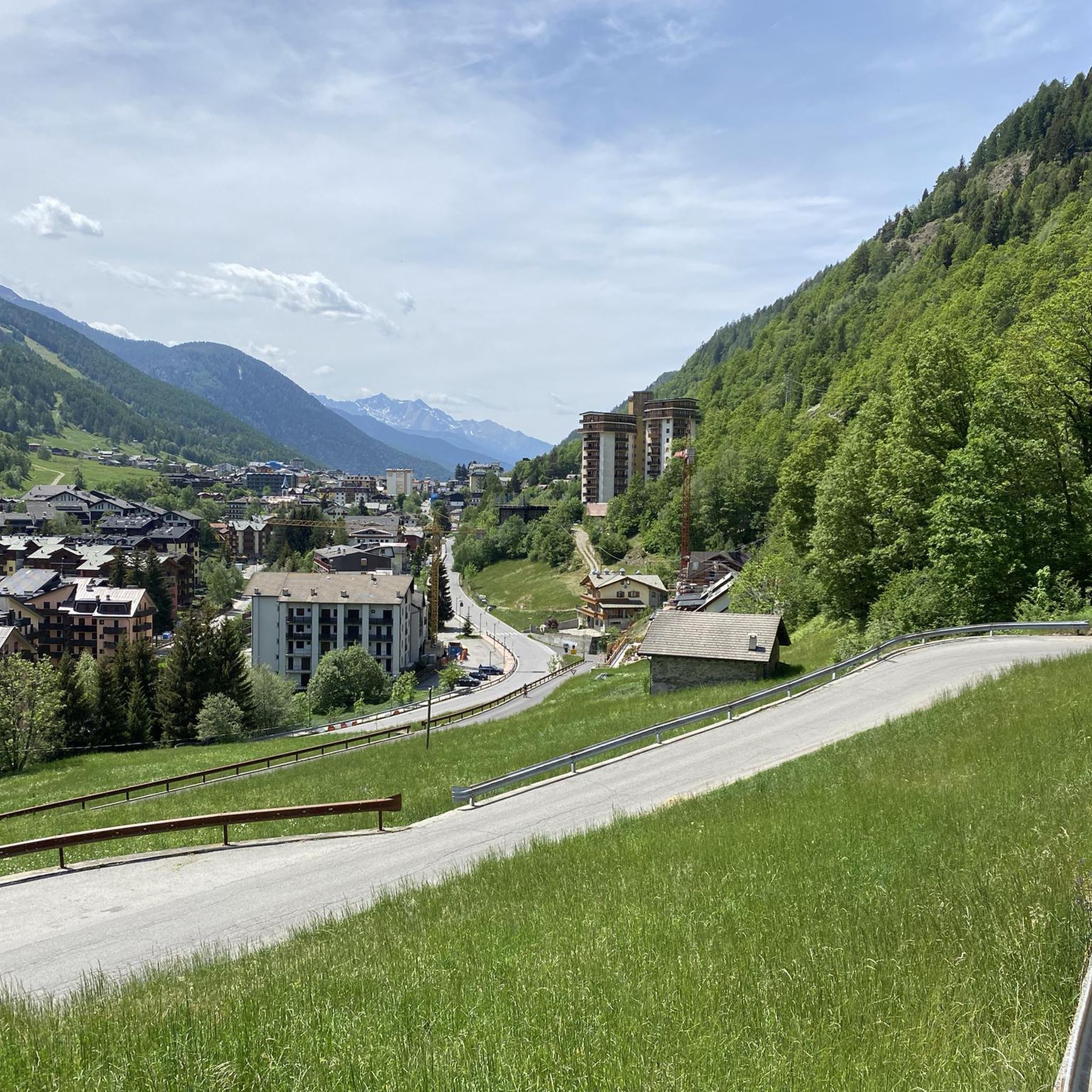
Running Trails in Riserva Naturale Valli Di Sant'Antonio
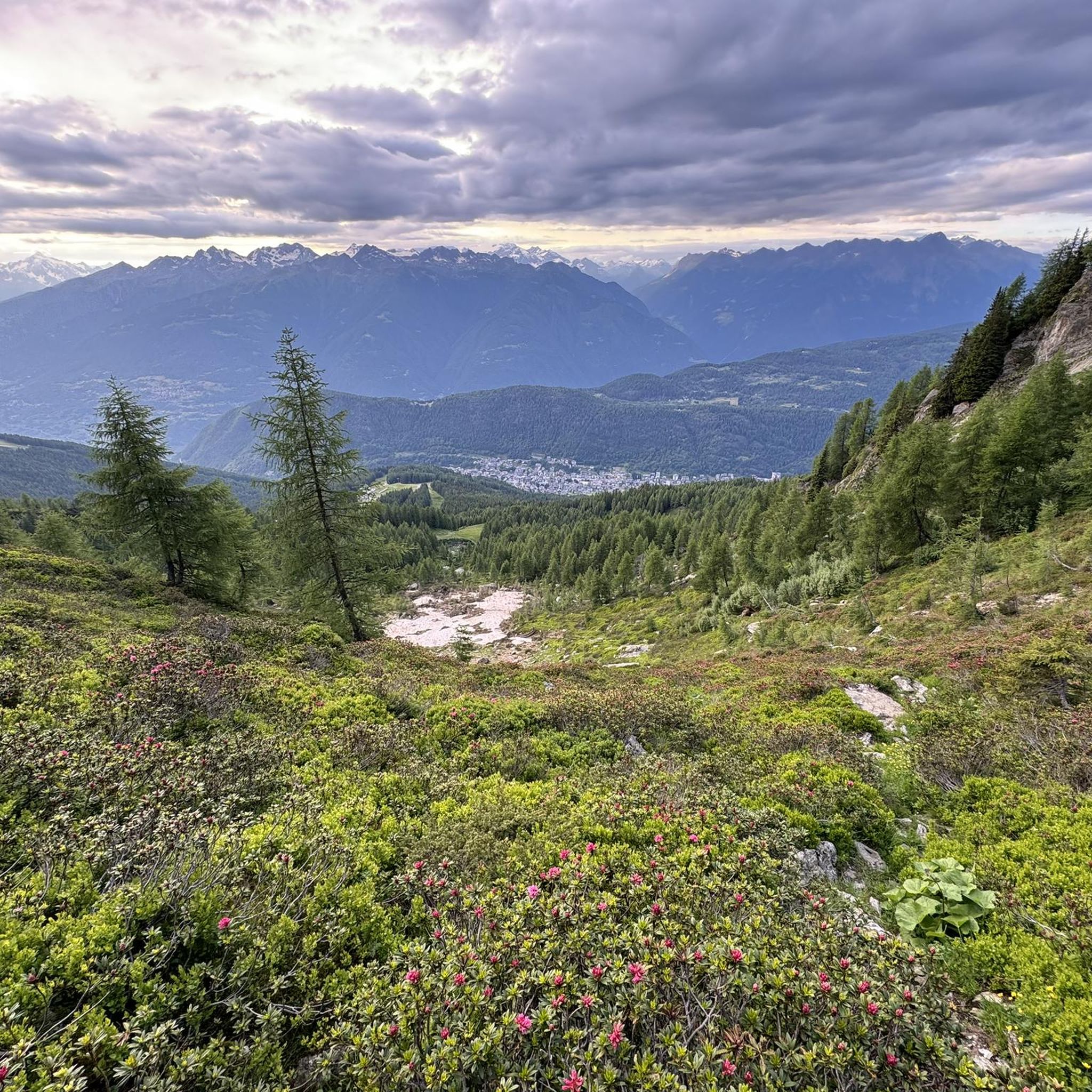
MTB Trails in Riserva Naturale Valli Di Sant'Antonio
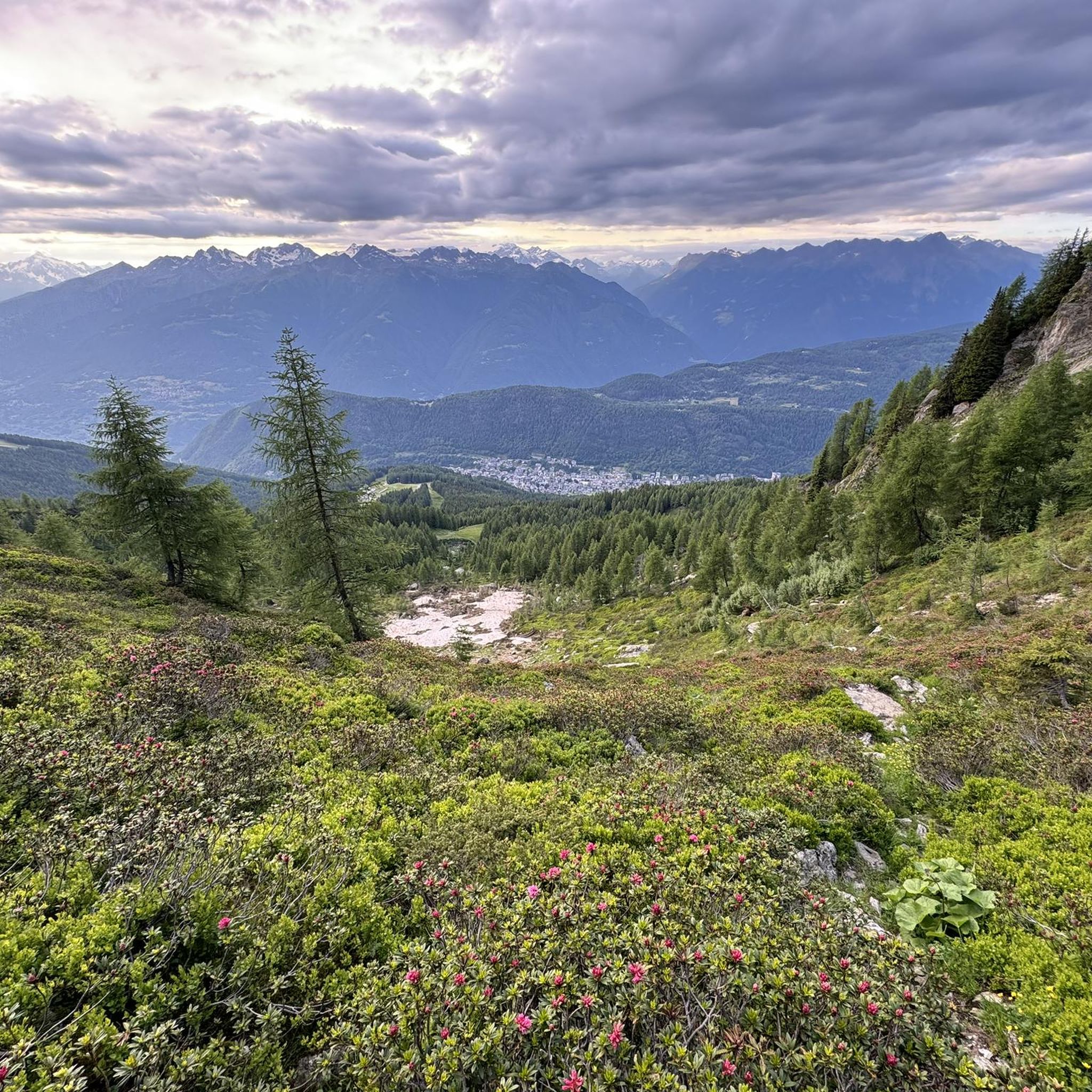
Cycling in Riserva Naturale Valli Di Sant'Antonio
Gravel biking in Riserva Naturale Valli Di Sant'Antonio
Other adventures in Riserva Naturale Valli Di Sant'Antonio

Tips from the Community

Section of trail between Stazzona and Tirano.
0
0

A village in the upper Camonica Valley at the confluence of the Oglio and Ogliolo rivers. Tonale and Val di Sole to the east, Aprica and Valtellina to the west, and Mortirolo to the north.
0
0

Arrival pass of the stage of many international races and above all essential for passing various passes such as Passo Cristina, Passo Mortirolo and Tonale
0
0

historic bridge of Edolo, from which you take the cycle/pedestrian path to Ponte di Legno/Tonale
0
0

Lago di Poschiavo / Puschlav Lake The Lago di Poschiavo, or Puschlav Lake in German, is located in the southern Graubünden municipality of Poschiavo/Puschlav. The natural reservoir is 962 meters above sea level. The lake is approximately 2.5 km long in a north/south direction and one kilometer wide. The Poschiavino river is both an inflow and outflow of the lake, which is up to 80 m deep at most. The Rhaetian Railway line runs along the western shore towards Brusio and Tirano in Italy. The village center of Poschiavo is about five kilometers north of the Puschlav Lake. On the lake itself are the villages of Miralago in the south and Le Prese in the north end. Both villages have Rhaetian Railway stops. The approximately seven-kilometer circular route around the Lago di Poschiavo can be completed in just under two hours. Since 2016, the "Sassalbo" has been a rentable boat on Lake Poschiavo. It is considered the largest passenger ship in the canton of Graubünden. Text / Source: schweizersee.ch https://www.schweizersee.ch/lago_di_poschiavo/
15
0

Beautiful mountain village, rich in nature and activities that can be done both in winter and summer
0
0

Rest area with several tables, a place to light a fire and right next to the Pian di Gembro car parks. The tables are all in the sun and there is no fountain, so be prepared (although for those who are thirsty there are places on the road or in the flat area on the path a short distance away).
0
0

Simply wonderful on the shore in Mirolago
0
0
Frequently Asked Questions
How many road cycling routes are available in Riserva Naturale Valli Di Sant'Antonio?
There are over 70 road cycling routes in Riserva Naturale Valli Di Sant'Antonio, offering a diverse range of experiences for cyclists. These include 14 easy routes, 33 moderate routes, and 27 difficult routes, catering to various skill levels.
What kind of terrain can I expect on road cycling routes in Riserva Naturale Valli Di Sant'Antonio?
The terrain in Riserva Naturale Valli Di Sant'Antonio offers a mix of surfaces. You'll typically find an initial asphalted road from Corteno Golgi leading up to Sant'Antonio village. Beyond this point, routes often transition to dirt roads, providing a blend of road and gravel cycling. Expect varied elevation profiles, including steep ascents on some unpaved sections, all set within alpine valleys and diverse forest ecosystems.
What are some of the most scenic road cycling routes in the area?
For breathtaking alpine landscapes, consider the Aprica Pass – Aprica Pass loop from Corteno Golgi, which features significant elevation gain. Another popular choice offering views of Aprica and varied terrain is the Aprica Pass – View of Aprica loop from Corteno Golgi. These routes allow you to immerse yourself in the wild nature, forests, and along the torrents that define the region.
Are there any challenging road cycling routes for experienced riders?
Yes, Riserva Naturale Valli Di Sant'Antonio offers several challenging routes. The Aprica Pass – Aprica Pass loop from Corteno Golgi is rated as difficult, featuring over 1000 meters of elevation gain. Another demanding option is the Aprica, Santa Cristina – loop tour in the Orobie Valtellinesi Park, which includes over 1500 meters of ascent, ideal for those seeking a significant physical challenge.
What natural features or landmarks can I see while cycling in Riserva Naturale Valli Di Sant'Antonio?
While cycling, you'll encounter numerous natural features. The valleys are carved by impressive torrents, forming small waterfalls and emerald pools. Higher up, forests transition from spruce and larch to rhododendron and blueberry shrubs. You might also spot alpine lakes like Lago di Picol and Lago del Torsolazzo. The charming Sant'Antonio village, where the two valleys converge, is also a notable point of interest.
When is the best time of year for road cycling in Riserva Naturale Valli Di Sant'Antonio?
The best time for road cycling in Riserva Naturale Valli Di Sant'Antonio is generally during the warmer months, from late spring through early autumn. This period offers more favorable weather conditions and ensures that higher elevation routes are free from snow. The region's green meadows and forests are particularly vibrant during these seasons.
Are there any family-friendly road cycling options in Riserva Naturale Valli Di Sant'Antonio?
While many routes involve varied terrain and elevation, the initial asphalted sections leading into the valleys from Corteno Golgi towards Sant'Antonio village can be suitable for families or those looking for a less strenuous ride. It's advisable to check individual route details for specific difficulty levels and surface types to ensure they align with your family's cycling abilities.
What do other road cyclists enjoy most about cycling in Riserva Naturale Valli Di Sant'Antonio?
The area is highly rated by the komoot community, with an average score of 4.4 stars from over 150 reviews. Cyclists often praise the stunning alpine scenery, the peaceful atmosphere of the valleys, and the diverse terrain that offers both smooth paved sections and challenging dirt roads. The abundant water features, including torrents and emerald pools, are frequently highlighted as a defining element of the region's beauty.
Are there circular road cycling routes available?
Yes, there are several circular road cycling routes. For example, the Edolo Town Center – Edolo loop from Corteno Golgi is a popular circular trail that takes you through the Edolo area. Many routes are designed as loops, allowing cyclists to start and finish in the same location while exploring different parts of the valleys.
Where can I find parking for road cycling routes in Riserva Naturale Valli Di Sant'Antonio?
Cyclists typically start their journey from Corteno Golgi, where you can find parking options before heading into the reserve. As you venture further, especially towards Sant'Antonio village, parking availability might become more limited, particularly for larger vehicles. It's recommended to plan your starting point and check for suitable parking in advance.
Are there any places to stop for refreshments or accommodation near the cycling routes?
The charming Sant'Antonio village, located where Val Brandet and Valle di Campovecchio converge, offers a central point for visitors. While specific cafes or pubs are not detailed, mountain huts like Rifugio Alpini Campovecchio historically provided resting points and local hospitality. It's advisable to check current operating status for any facilities before your ride.
What is the typical elevation gain on road cycling routes in Riserva Naturale Valli Di Sant'Antonio?
Elevation gain varies significantly depending on the route. Moderate routes like the Aprica Pass – View of Aprica loop from Corteno Golgi can have around 560 meters of ascent. More difficult routes, such as the Aprica Pass – Aprica Pass loop from Corteno Golgi, feature over 1000 meters of elevation gain, providing a substantial climbing challenge.
Most popular routes in Riserva Naturale Valli Di Sant'Antonio

Get inspired with the komoot mobile app


Explore more
Browse the best Road cycling routes in other regions.
