The best walks and hikes in Sic S. Giovenale E Civitella Cesi
4.4
(422)
1,697
hikers
46
hikes
Hiking trails in Sic S. Giovenale E Civitella Cesi traverse a landscape shaped by volcanic bedrock, featuring distinctive tuff plateaus and deep ravines known as "forre." The Torrente Vesca winds through this terrain, creating "vegetal tunnels" and lush riparian vegetation. The region is also rich in historical significance, with ancient Etruscan settlements and hollow roads carved into the tufa. This protected area, part of the Natura 2000 network, offers diverse habitats and archaeological sites for exploration.
Best hiking trails in…
Last updated: October 8, 2026
4.0
(2)
22
hikers
Hard hike. Good fitness required. Sure-footedness, sturdy shoes and alpine experience required.
4.7
(7)
8
hikers
16.3km
04:35
340m
340m
Moderate hike. Good fitness required. Easily-accessible paths. Suitable for all skill levels.

4.5
(2)
12
hikers
29.7km
08:01
370m
370m
Hard hike. Very good fitness required. Sure-footedness, sturdy shoes and alpine experience required.
4.5
(2)
28
hikers
Hard hike. Good fitness required. Sure-footedness, sturdy shoes and alpine experience required.
4.7
(6)
32
hikers
5.22km
01:38
80m
80m
Moderate hike. Great for any fitness level. Mostly accessible paths. Sure-footedness required.
Get access to more routes and recommendations from other explorers.
Already have an account?
Our route recommendations are based on thousands of hikes, rides, and runs completed by other people on komoot.
Start today with a free account
Your next adventure awaits.
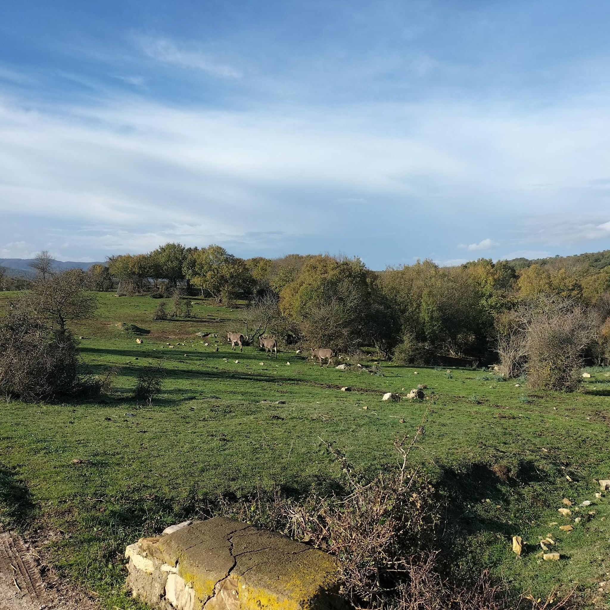
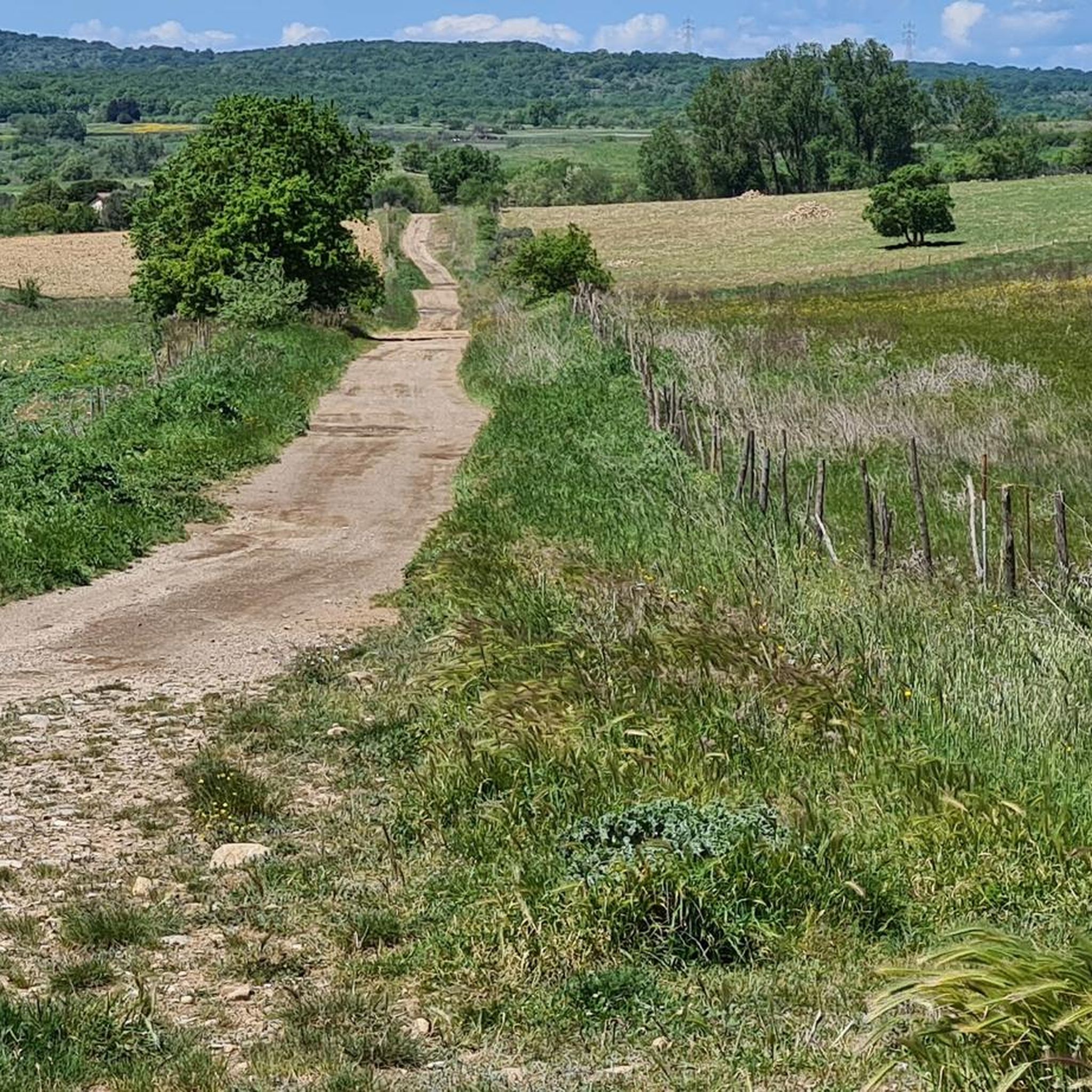
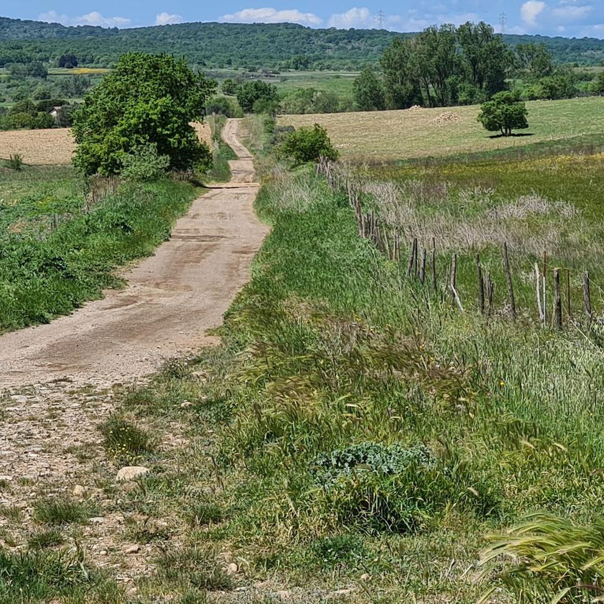

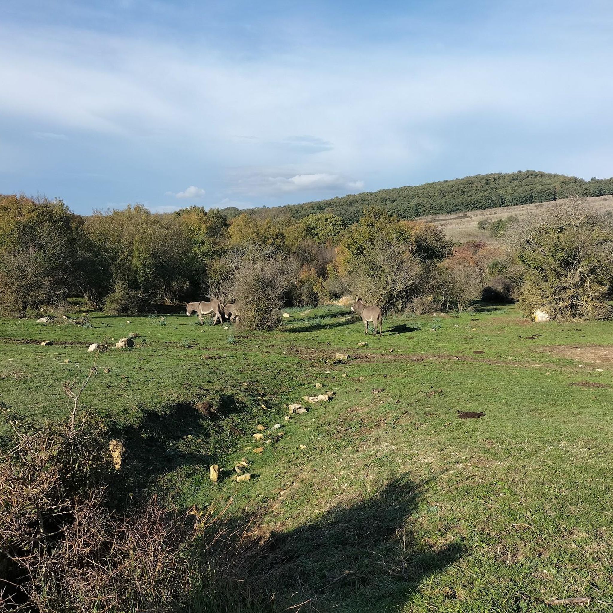
Tips from the Community

A route that presents many points of interest. It keeps the traveler's curiosity alive by combining the beauty and uniqueness of the landscape and the material traces of man.
0
0


Staircase to Barbarano Romano
1
0

Bridge over the Mignone where the Old Civitavecchia-Orte railway passes. Splendid panoramic point
0
0

Very nice hiking trail. Only doable by bike with a lot of carrying and pushing. But it's definitely worth it!
1
0

Beautiful village of Tuscia barbarano romano to visit absolutely
0
0

Wonderful place, worth visiting!
0
0

May 2023 - the path is not really developed but rather a wild path - so go on the adventure with long pants and sturdy shoes. My tip would be to go to the ruins of the third mill. It is an ancient dam with two breakthroughs and therefore two waterfalls. Carefully go over the wall (!) Crashing wouldn't be a good idea...then go right. into the ancient man-made aqueduct. The tunnel is over 2 meters high and was probably a regulated inflow/outflow from the mill. The top highlight of this valley.
1
1
Frequently Asked Questions
How many hiking trails are available in Sic S. Giovenale E Civitella Cesi?
There are over 45 hiking trails in Sic S. Giovenale E Civitella Cesi. These routes offer a diverse range of experiences, from exploring ancient Etruscan sites to traversing deep ravines and volcanic landscapes.
What kind of terrain can I expect on hikes in Sic S. Giovenale E Civitella Cesi?
The terrain is uniquely shaped by volcanic bedrock, featuring distinctive tuff plateaus and deep ravines, locally known as "forre." You'll encounter paths winding along the Torrente Vesca, often through "vegetal tunnels," and ancient Etruscan hollow roads carved into the tufa. Expect a mix of natural beauty and historical elements.
Are there any historical or archaeological sites to explore while hiking?
Yes, the region is rich in history. You can explore the ancient San Giovenale Necropolis, an Etruscan center with remains dating back to the Bronze Age, including archaic houses and extensive necropolises. Hikers can also traverse ancient Etruscan hollow roads like the "via della Dogana" and "Tagliata delle Poggette," deeply carved paths between towering tufa walls. The charming hamlet of Civitella Cesi also features a medieval castle.
Can I find circular hiking routes in the area?
Many of the trails in Sic S. Giovenale E Civitella Cesi are circular, allowing you to start and end at the same point. For example, the Necropolis of Luni sul Mignone – Monteromano Abandoned Station loop from Monte Romano is a challenging 15.7-mile circular path that takes you through historical necropolis sites and past an abandoned railway station.
What are the difficulty levels of the trails in Sic S. Giovenale E Civitella Cesi?
The trails range in difficulty. Out of 45 routes, there are 6 easy, 30 moderate, and 9 difficult options. This variety ensures there are paths suitable for different experience levels, from leisurely walks to more strenuous hikes through varied terrain.
Are there any family-friendly hiking options?
While many trails explore historical sites and natural ravines, some shorter and less strenuous routes can be suitable for families. For instance, the Cave – Start of Sentiero Valloni loop from Blera is a moderate 3.4-mile hike that might be a good option for families looking for a shorter adventure.
What are the best times of year to go hiking in Sic S. Giovenale E Civitella Cesi?
The region offers pleasant hiking conditions for much of the year. Spring and autumn are particularly ideal, with milder temperatures and lush landscapes. Summer can be warm, so early morning or late afternoon hikes are recommended. Winter hiking is also possible, offering a different, more tranquil experience of the ancient sites and natural features.
Is there parking available near the trailheads?
Parking availability varies by trailhead. Many routes, especially those starting from Civitella Cesi or other small hamlets, will have designated or informal parking areas. It's advisable to check specific route details on komoot for parking information related to your chosen trail.
How can I reach Sic S. Giovenale E Civitella Cesi using public transport?
Public transport options to Sic S. Giovenale E Civitella Cesi are limited, given its remote character. The charming hamlet of Civitella Cesi serves as a gateway to the area, and while direct public transport links might be scarce, it's often accessible via bus services from larger towns like Viterbo. Planning your journey in advance is recommended.
What do other hikers enjoy most about hiking in Sic S. Giovenale E Civitella Cesi?
The area is highly rated by the komoot community, with an average score of 4.5 stars from over 400 reviews. Hikers often praise the unique blend of rich historical exploration, particularly the Etruscan sites and hollow roads, with breathtaking natural beauty. The tranquil environment and diverse terrain, from volcanic plateaus to deep river valleys, are frequently highlighted as key attractions.
Are there any viewpoints or scenic overlooks in the region?
Yes, the volcanic landscape provides several scenic viewpoints. From certain plateaus, you can enjoy expansive views towards the Lazio coast, and the distant silhouette of the Tolfa Mountains is often visible from areas like San Giovenale. Trails like the View of Barbarano Romano – Staircase to Barbarano Romano loop from Civitella Cesi offer varied terrain with specific views towards Barbarano Romano.
What is the significance of the Torrente Vesca in the hiking experience?
The Torrente Vesca (Vesca stream) is a central natural feature, winding through the distinctive tuff ravines. Its banks are lined with lush riparian vegetation, forming picturesque "vegetal tunnels" that add to the scenic beauty of the trails. Naturalistic paths often follow its course, leading hikers through dramatic ravines and sometimes requiring crossings via "guadi" (fords), enhancing the adventurous feel of the hike.
Most popular routes in Sic S. Giovenale E Civitella Cesi

Get inspired with the komoot mobile app


Explore more
Browse the best Hikes in other regions.
