The best running trails in Sic S. Giovenale E Civitella Cesi
71
runners
9
runs
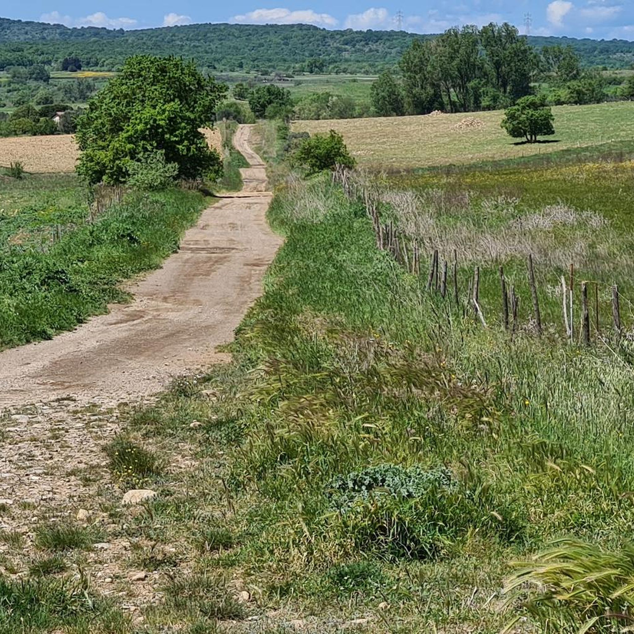
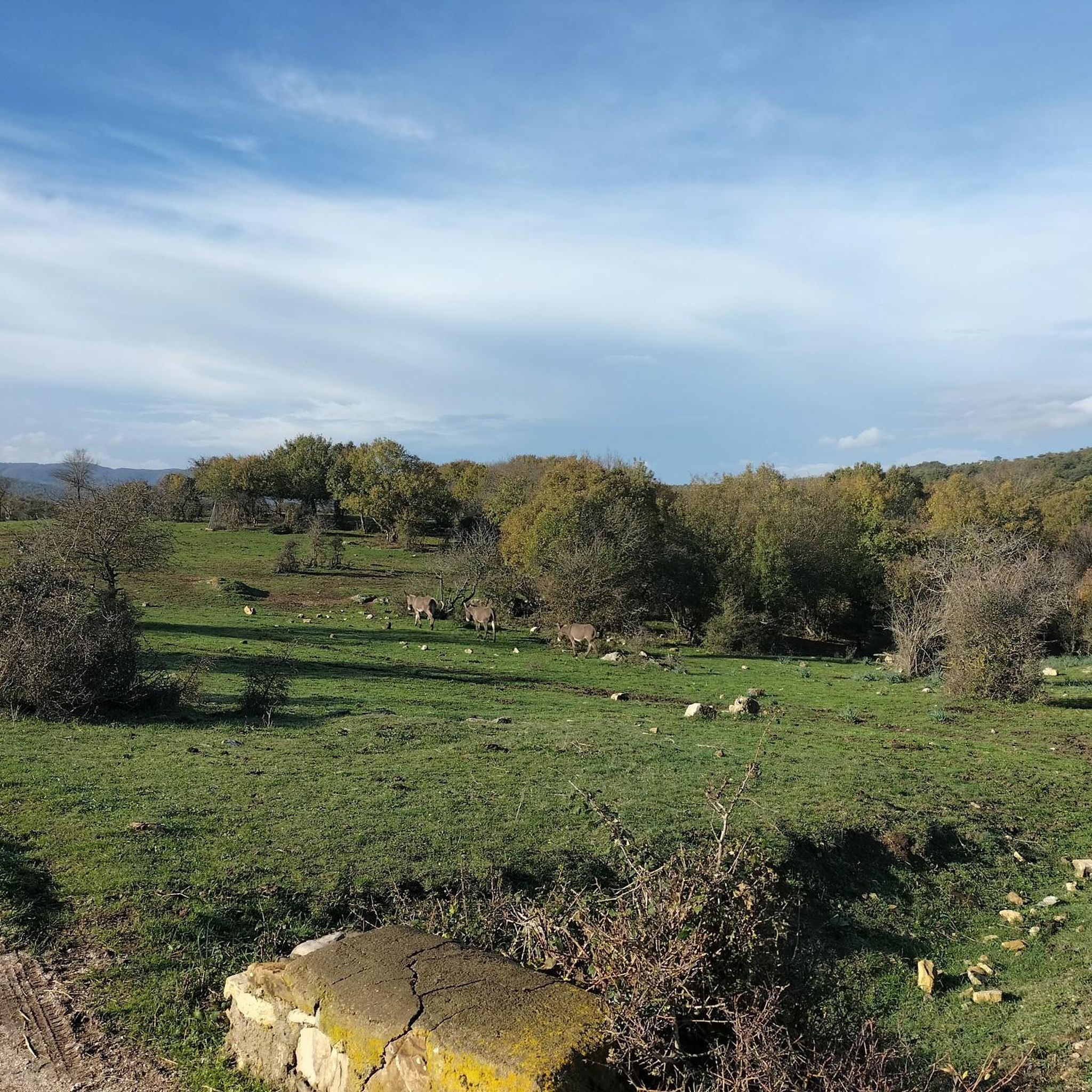
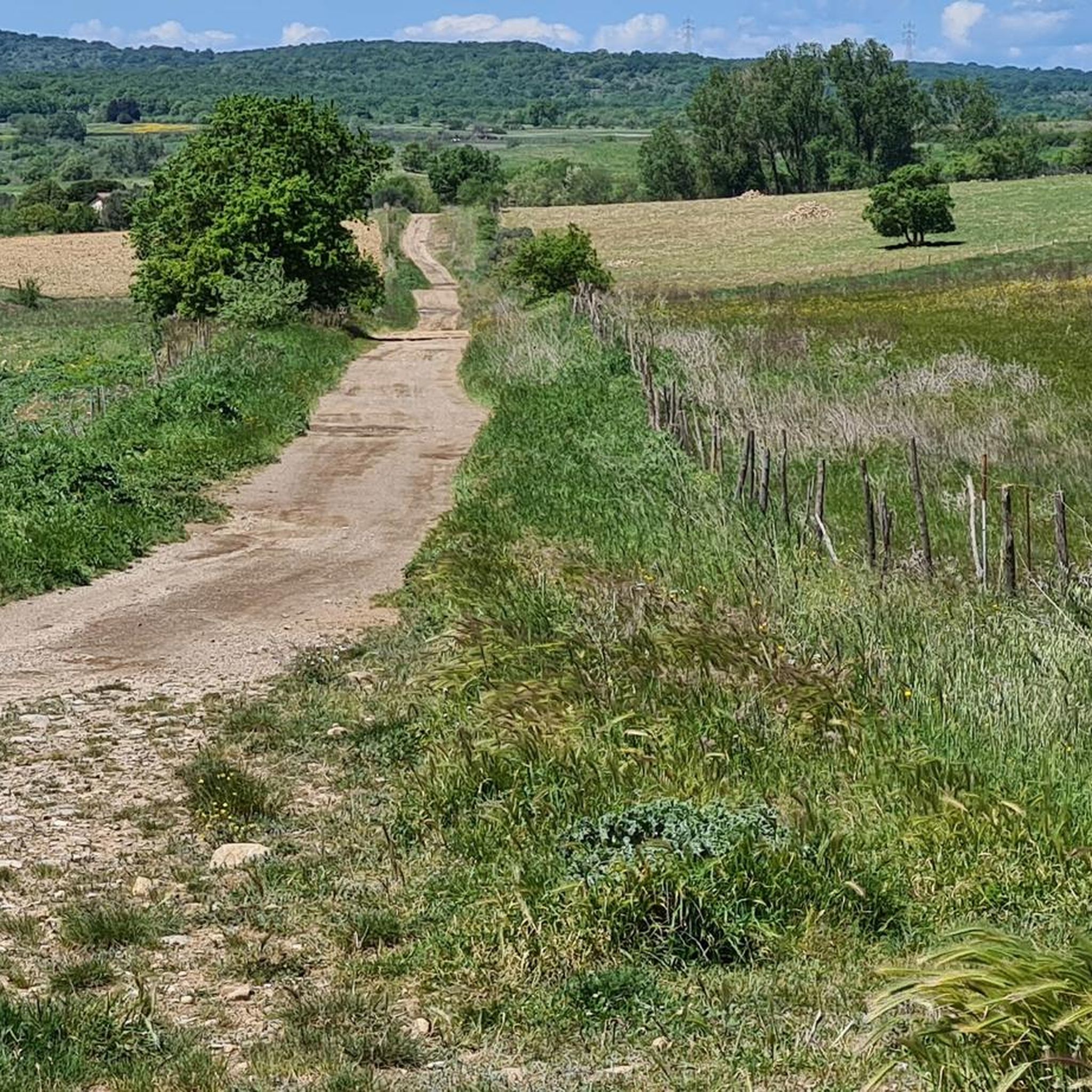
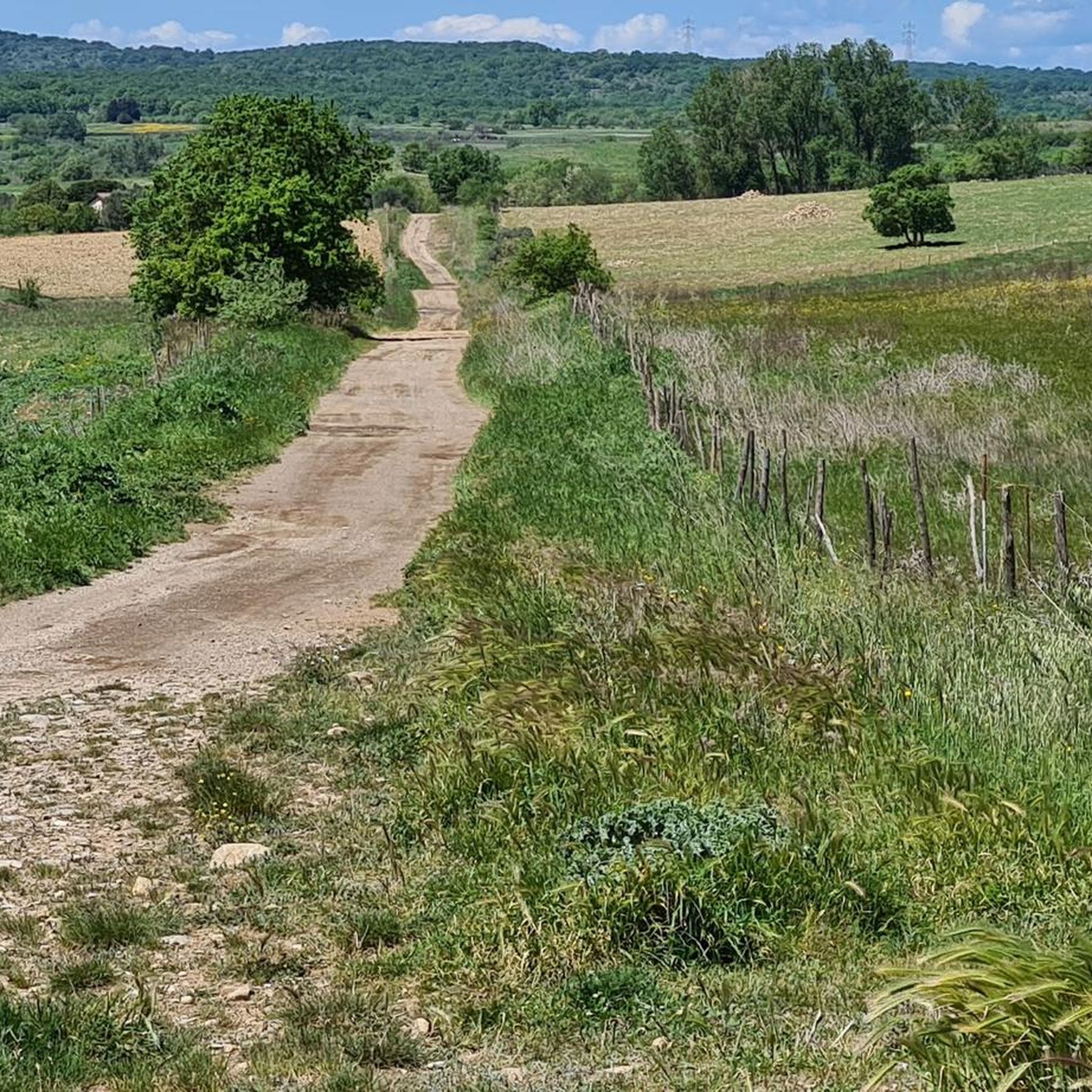
Jogging routes in Sic S. Giovenale E Civitella Cesi traverse a landscape characterized by varied terrain, including rural paths and areas with water features. The region offers a mix of gentle slopes and more challenging ascents, with elevation gains up to 300 meters. Runners can explore trails that wind through natural settings, providing opportunities for different fitness levels. The area's natural environment makes it suitable for outdoor running activities.
Best jogging routes in Sic S. Giovenale E Civitella Cesi
- The…
Last updated: July 5, 2026
5
runners
3.55km
00:23
50m
50m
Easy run. Great for any fitness level. Mostly paved surfaces. Suitable for all skill levels.
4
runners
11.3km
01:24
160m
160m
Hard run. Good fitness required. Sure-footedness, sturdy shoes and alpine experience required.

Sign up for free
2
runners
21.1km
02:34
310m
310m
Hard run. Very good fitness required. Mostly accessible paths. Some sure footedness required.
3
runners
7.97km
01:01
200m
200m
Moderate run. Good fitness required. Mostly accessible paths. Some sure footedness required.
7
runners
14.0km
01:29
110m
110m
Moderate run. Good fitness required. Mostly paved surfaces. Suitable for all skill levels.
Get access to more routes and recommendations from other explorers.
Sign up for free
Already have an account?
Our route recommendations are based on thousands of hikes, rides, and runs completed by other people on komoot.
Start today with a free account
Your next adventure awaits.
Login or Signup

Tips from the Community

The old railway line is almost completely overgrown.
0
0

Very nice hiking trail. Only doable by bike with a lot of carrying and pushing. But it's definitely worth it!
1
0

Old Capranica Civitavecchia railway
0
0

The oak tree quarry offers wonderful naturalistic views. To fully enjoy what surrounds us, we need to take the time to look around
1
0

A fascinating MTB itinerary winds its way through the heart of Lazio Etruria along the disused tracks of the Capranica-Civitavecchia railway line. A 50 km route, ideal for mountain bike enthusiasts, offers unspoiled nature with slight changes in altitude.
2
0

The "vie Cave" of the Viterbo area, evocative and fascinating. A must visit
2
0
Another town in the Viterbo area perched on a tufa spur. Its "vie cave" and its necropolis are famous
1
0
Frequently Asked Questions
How many running routes are available in Sic S. Giovenale E Civitella Cesi?
There are 7 dedicated running routes in Sic S. Giovenale E Civitella Cesi, ranging from easy loops to more challenging long-distance trails.
Are there any easy running routes suitable for beginners in the area?
Yes, beginners can enjoy the Il laghetto loop from Blera. This easy route is just 2.2 miles (3.5 km) long with minimal elevation gain, perfect for a gentle run around a small lake.
What are the typical lengths of running trails in Sic S. Giovenale E Civitella Cesi?
Running trails in this region vary significantly in length. You can find shorter routes like the 2.2-mile (3.5 km) Il laghetto loop from Blera, up to longer, more challenging runs such as the 13.1-mile (21.1 km) Red Path.
Are there any circular running routes in Sic S. Giovenale E Civitella Cesi?
Yes, many of the routes are circular, offering convenient start and end points. Examples include the Il laghetto loop from Blera and the Le Mattonelle loop from Poggio Casalavio.
Are the running trails in Sic S. Giovenale E Civitella Cesi dog-friendly?
Generally, the rural paths and natural settings of Sic S. Giovenale E Civitella Cesi are suitable for running with dogs. However, it's always recommended to keep your dog on a leash, especially in areas with wildlife or near agricultural land, and to check local regulations for specific routes.
What kind of terrain can I expect on the running routes?
The terrain in Sic S. Giovenale E Civitella Cesi is diverse, featuring rural paths, areas with water features, and rolling hills. You'll encounter a mix of gentle slopes and more challenging ascents, with some routes like the Red Path having significant elevation changes.
Are there any running routes suitable for families with children?
For families looking for an easier run, the Il laghetto loop from Blera is a great option. Its short distance and minimal elevation make it accessible for younger runners or those pushing strollers suitable for off-road terrain.
What is the best season for running in Sic S. Giovenale E Civitella Cesi?
Spring and autumn generally offer the most pleasant conditions for running in Sic S. Giovenale E Civitella Cesi, with milder temperatures and beautiful natural scenery. Summer mornings or evenings can also be enjoyable, while winter runs are possible but may require appropriate gear for cooler, potentially wetter conditions.
Are there any scenic viewpoints or natural attractions along the running trails?
The routes often traverse natural settings with water features and rolling hills, offering picturesque views of the rural landscape. While specific named viewpoints are not detailed, the natural environment itself provides a scenic backdrop for your run.
What do other runners enjoy most about the trails in Sic S. Giovenale E Civitella Cesi?
Runners frequently praise the varied terrain and natural beauty of the area. With over 40 komoot users having explored these routes, the mix of rural paths, water features, and rolling hills provides a rewarding experience for different fitness levels.
Is there public transport access to the running trails?
While specific public transport links directly to trailheads are not detailed, the routes often start near towns like Blera, Barbarano Romano, Poggio Casalavio, and Allumiere. It is advisable to check local bus schedules to these towns for potential access points.
Where can I find parking near the running routes?
Many routes, being loops, typically start and end in or near villages such as Blera, Barbarano Romano, Poggio Casalavio, and Allumiere. You can usually find parking available in these towns, often near the starting points of the trails.
Are there any longer, more challenging running routes for experienced runners?
Yes, experienced runners can tackle routes like the Red Path, which is 13.1 miles (21.1 km) with over 300 meters of elevation gain, or the Mill Trail – Blera loop from Barbarano Romano, a difficult 11.3-mile (18.2 km) route.
Most popular routes in Sic S. Giovenale E Civitella Cesi

Get inspired with the komoot mobile app


Explore more
Browse the best Running Trails & Routes in other regions.
