The best walks and hikes in Elora Gorge Conservation Area
4.9
(8)
106
hikers
15
hikes
Hiking in Elora Gorge Conservation Area offers routes through a deep gorge carved by glacial meltwaters, where the Grand River flows between towering limestone cliffs. The terrain features bedrock estimated to be around 450 million years old, alongside lush woodlands. Elevation changes are generally moderate, with trails tracing clifftops and riverside paths. The area provides a diverse natural setting for outdoor activities.
Best hiking trails in Elora Gorge Conservation Area
- The most popular hiking route is Elora Gorge – Tree Roots Over Rock Formation loop from Elora Gorge, a 5.9 miles (9.5 km) trail that takes 2 hours 27 minutes to complete. This route explores the gorge's natural formations and riverside views.
- Another top favourite among local hikers is Elora Distillery – Elora Gorge loop from Elora, a moderate 5.6 miles (9.1 km) path. This trail connects the town of Elora with the scenic gorge, offering varied landscapes.
- Local hikers also love the Tree Roots Over Rock Formation – Elora Gorge loop from Elora, a 3.8 miles (6.0 km) trail leading through the unique "Hole in the Rock" formation and along the gorge, often completed in about 1 hour 34 minutes.
- Hiking in Elora Gorge Conservation Area is defined by its deep gorge, limestone cliffs, and the Grand River, alongside dense woodlands. The network offers options for both easy and moderate ability levels.
- The routes in Elora Gorge Conservation Area are highly rated by the komoot community with an average score of 4.8 stars from over 6 reviews. More than 90 hikers have used komoot to explore Elora Gorge Conservation Area's varied terrain.
Last updated: October 7, 2026
4.3
(3)
28
hikers
Moderate hike. Good fitness required. Easily-accessible paths. Suitable for all skill levels.
5.0
(1)
10
hikers
9.03km
02:21
70m
60m
Moderate hike. Good fitness required. Easily-accessible paths. Suitable for all skill levels.

8
hikers
8.32km
02:10
50m
50m
Moderate hike. Good fitness required. Easily-accessible paths. Suitable for all skill levels.
5.0
(1)
13
hikers
2.82km
00:44
20m
20m
Easy hike. Great for any fitness level. Easily-accessible paths. Suitable for all skill levels.
5.0
(1)
10
hikers
5.54km
01:26
30m
30m
Easy hike. Great for any fitness level. Easily-accessible paths. Suitable for all skill levels.
Get access to more routes and recommendations from other explorers.
Already have an account?
Our route recommendations are based on thousands of hikes, rides, and runs completed by other people on komoot.
Start today with a free account
Your next adventure awaits.
Popular around Elora Gorge Conservation Area
Tips from the Community

The rock above the mouth of Irvine Creek into the Grand River is called Lover’s Leap; the name „Liebessprung“ goes back to various legends. During our visit on June 18, 2026, the brick viewing platform was flooded and inaccessible.
1
0
Victoria Park is a small, public park on the outskirts of the town of Elora. The mostly wooded park is located above the Elora Gorge, a limestone canyon. From vantage points, you can see the Elora Gorge Falls in the town center and the Grand River below. On the west side of the park, a steep staircase leads down to Irvine Creek, a tributary of the Grand River; the last few meters are on a rocky path to the rushing stream. (Visit on June 18, 2026)
0
0
A staircase reinforced with stones and cement leads through the "Hole-in-the-Rock" and a further metal staircase down to a viewpoint above the Grand River – a few meters above the water level on a ledge of the limestone cliff.
0
0
Some of the oldest trees in the Grand River park system grow along the cliffs in the Elora Gorge Conservation Area. Some of these ancient Eastern White Cedars are over 500 years old. Due to difficult growing conditions, these trees are often small and stunted.
0
0
The Grand River flows as a wild mountain stream through the Elora Gorge. The 22-meter high rock gorge is not part of the Niagara Escarpment; it lies further west and was formed by glacial meltwater in the limestone. The Grand River's source area is near Georgian Bay, part of Lake Huron; it flows through southwestern Ontario and empties into Lake Erie after 275 kilometers. https://www.grandriver.ca/outdoor-recreation/conservation-areas/elora-gorge/
0
0

Elora Gorge is a popular destination partly due to the natural beauty of the 22-meter (72-ft) high limestone cliffs that rises above the Grand River and partly due to the activities and amenities available. There is a network of scenic trails, many fishing spots and camping pitches too. You can get on the river and go tubing or kayaking through the rapids too.
0
0
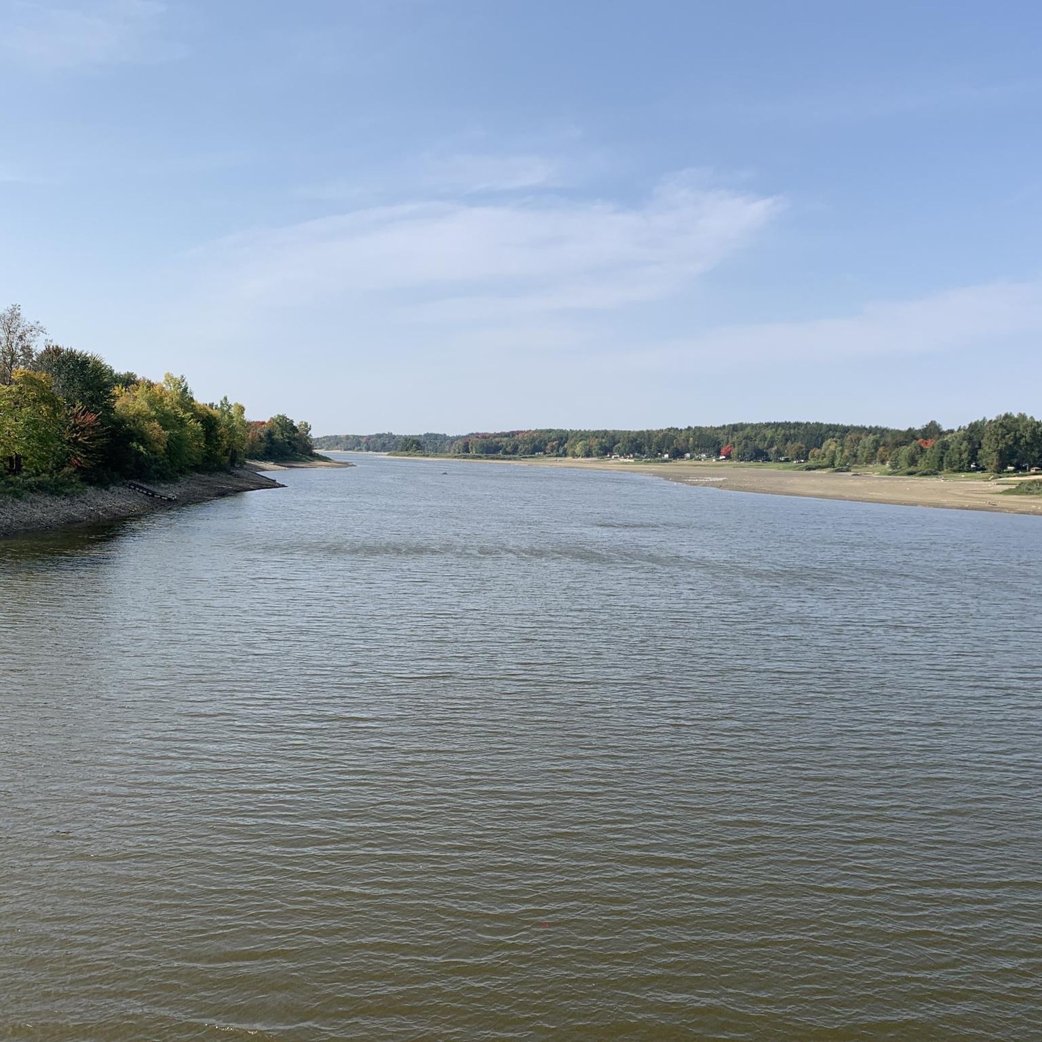
This bridge crosses Grand River just to the south of Elora Gorge. The gorge is one of the valley's most spectacular spots and is a conservation area. The river rushed beneath 22-metre (72-ft) high limestone cliffs and a range of marked trails explore its natural beauty.
0
0

Frequently Asked Questions
What kind of terrain and natural features can I expect to see while hiking in Elora Gorge Conservation Area?
Elora Gorge Conservation Area is defined by its dramatic landscapes, featuring towering 22-meter-high limestone cliffs carved by the Grand River. You'll encounter ancient bedrock, estimated to be around 450 million years old, and lush woodlands. A distinctive attraction is the "Hole in the Rock," where a staircase descends through a massive boulder, allowing you to walk beneath a natural land bridge and observe unique rock formations and tree roots.
Are there any easy hiking trails suitable for beginners or casual walkers?
Yes, there are several easy options. For instance, the Tree Roots Over Rock Formation – Elora Gorge loop from Elora is an easy 6.0 km (3.8 miles) trail that takes about 1 hour 34 minutes to complete. This route leads through the unique "Hole in the Rock" formation and along the gorge, offering accessible views.
Are the trails in Elora Gorge Conservation Area suitable for families with children?
Many trails in Elora Gorge Conservation Area are family-friendly, offering generally easy to moderate difficulty with some inclines and declines. The gorge-side trails provide continuous, varying views, and safety barriers are in place. The area also features amenities like a splash pad and sports fields, making it a great destination for a family outing.
Can I bring my dog on the hiking trails?
Yes, the trails within Elora Gorge Conservation Area are dog-friendly. It's a great option for families with pets, but always ensure your dog is on a leash and you follow park regulations regarding pet waste.
What are some notable viewpoints or scenic spots along the trails?
The conservation area offers numerous riverside trails and designated scenic overlooks that provide stunning views of the gorge and the Grand River below. The clifftop paths offer continuous vistas of the 22-meter-high limestone cliffs and the river where kayakers and tubers navigate. The "Hole in the Rock" also provides a unique perspective of the geological formations.
Are there any circular hiking routes in Elora Gorge Conservation Area?
Yes, many of the trails are designed as loops. For example, the Elora Gorge – Tree Roots Over Rock Formation loop from Elora Gorge is a popular 9.5 km (5.9 miles) circular route that explores the gorge's natural formations and riverside views. Another option is the Elora Distillery – Elora Gorge loop from Elora, a 9.1 km (5.6 miles) path connecting the town with the gorge.
What is the best time of year to go hiking in Elora Gorge Conservation Area?
Elora Gorge Conservation Area is beautiful throughout the warmer months. Spring brings lush greenery, while summer allows for additional activities like tubing and kayaking. Fall offers vibrant foliage. Always check the conservation area's official website for current operating hours and seasonal conditions, as some activities or access points may vary.
What do other hikers enjoy the most about hiking in Elora Gorge Conservation Area?
The area is highly rated by the komoot community, with an average score of 4.8 stars. Reviewers often praise the dramatic gorge scenery, the unique geological features like the "Hole in the Rock," and the diverse trails that cater to various fitness levels while offering continuous views of the Grand River and its towering cliffs.
Is there parking available at Elora Gorge Conservation Area?
Yes, parking is available within the Elora Gorge Conservation Area. However, it is a popular destination, especially during peak season, so it's advisable to arrive early. There are admission fees to enter the conservation area, which typically cover parking.
What is the longest hiking trail available in the area?
One of the longer routes within the immediate area is the Elora Gorge – Tree Roots Over Rock Formation loop from Elora Gorge, which spans 9.5 km (5.9 miles) and typically takes about 2 hours 27 minutes to complete. For even longer excursions, the Elora Cataract Trailway, a 47-kilometer (29-mile) trail, can be accessed from Elora, extending through the countryside and nearby villages.
Are there any challenging trails for experienced hikers?
While the majority of trails are easy to moderate, the rugged clifftop paths and some sections along the Grand River offer a good workout with inclines and declines. The longer routes, such as the 9.5 km Elora Gorge – Tree Roots Over Rock Formation loop from Elora Gorge, provide a more extended hiking experience with varied terrain.
Most popular routes in Elora Gorge Conservation Area

Get inspired with the komoot mobile app


Explore more
Browse the best Hikes in other regions.
