The best running trails in Ukerdiko Erreserba Integrala/Reserva Integral De Ukerdi
5.0
(1)
341
runners
33
runs
Jogging in Ukerdiko Erreserba Integrala/Reserva Integral De Ukerdi offers diverse and challenging mountainous landscapes. The region is characterized by rugged terrain, featuring limestone precipices, dramatic ravines, and deep valleys. This topography provides varied routes with both ascents and descents, as well as more level paths within its forests. The area's natural park setting in the Pyrenees enhances the outdoor running experience.
Best jogging routes in Ukerdiko Erreserba Integrala/Reserva Integral De Ukerdi
- The most popular jogging route is Larra-Belagua Ski Center…
Last updated: October 2, 2026
9
runners
6.33km
00:49
130m
130m
Moderate run. Good fitness required. Mostly paved surfaces. Suitable for all skill levels.
4
runners
5.11km
01:07
550m
550m
Hard run. Very good fitness required. Mostly paved surfaces. Suitable for all skill levels.

5.0
(1)
1
runners
10.5km
01:26
330m
330m
Hard run. Very good fitness required. Mostly paved surfaces. Suitable for all skill levels.
8.81km
01:11
260m
260m
Moderate run. Good fitness required. Mostly accessible paths. Some sure footedness required.
16
runners
12.6km
02:32
970m
970m
Hard run. Very good fitness required. Sure-footedness, sturdy shoes and alpine experience required.
Get access to more routes and recommendations from other explorers.
Already have an account?
Our route recommendations are based on thousands of hikes, rides, and runs completed by other people on komoot.
Start today with a free account
Your next adventure awaits.
Popular around Ukerdiko Erreserba Integrala/Reserva Integral De Ukerdi
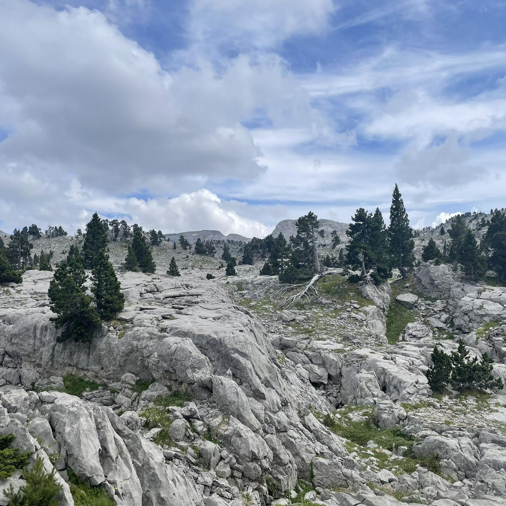
Hiking in Ukerdiko Erreserba Integrala/Reserva Integral De Ukerdi
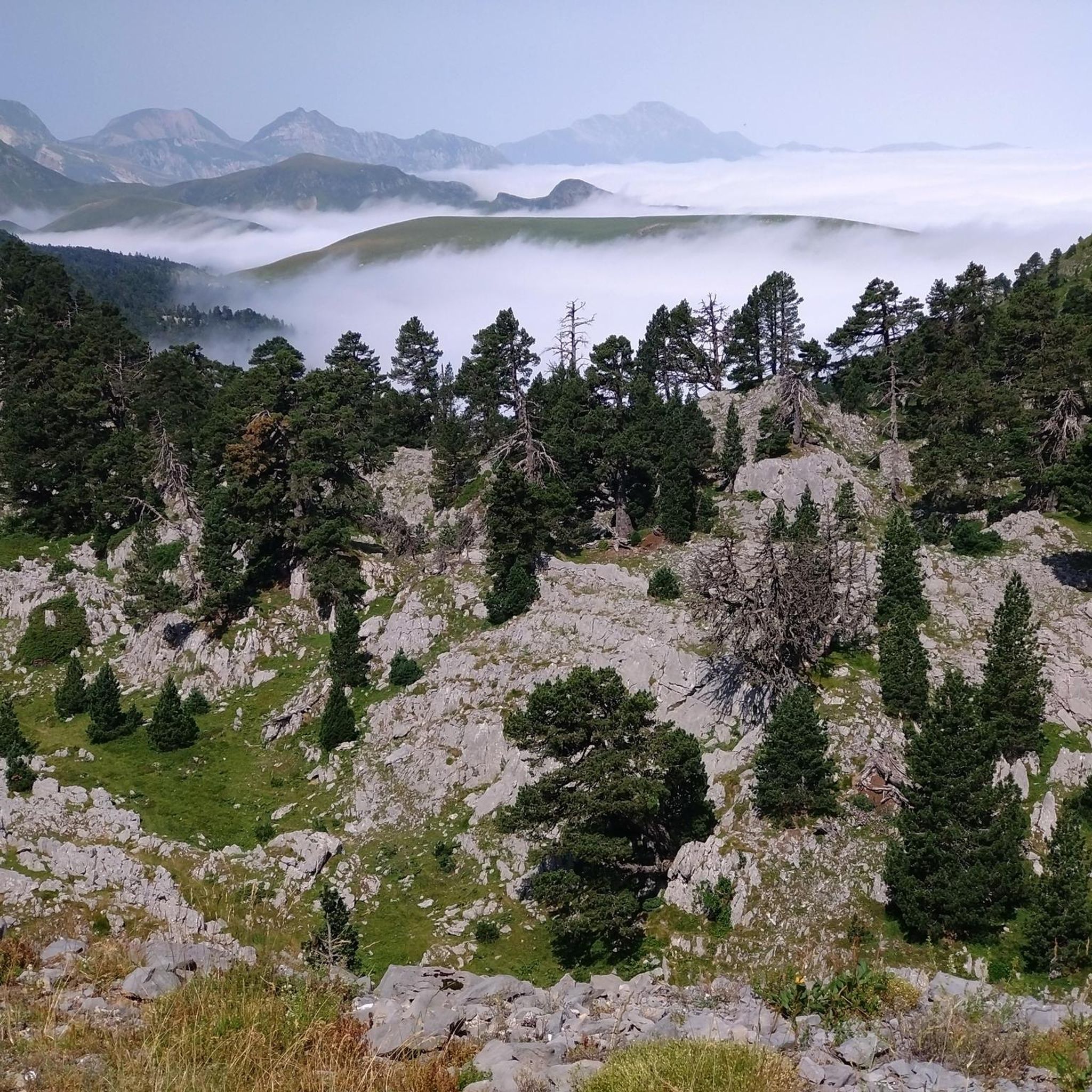
Road Cycling Routes in Ukerdiko Erreserba Integrala/Reserva Integral De Ukerdi
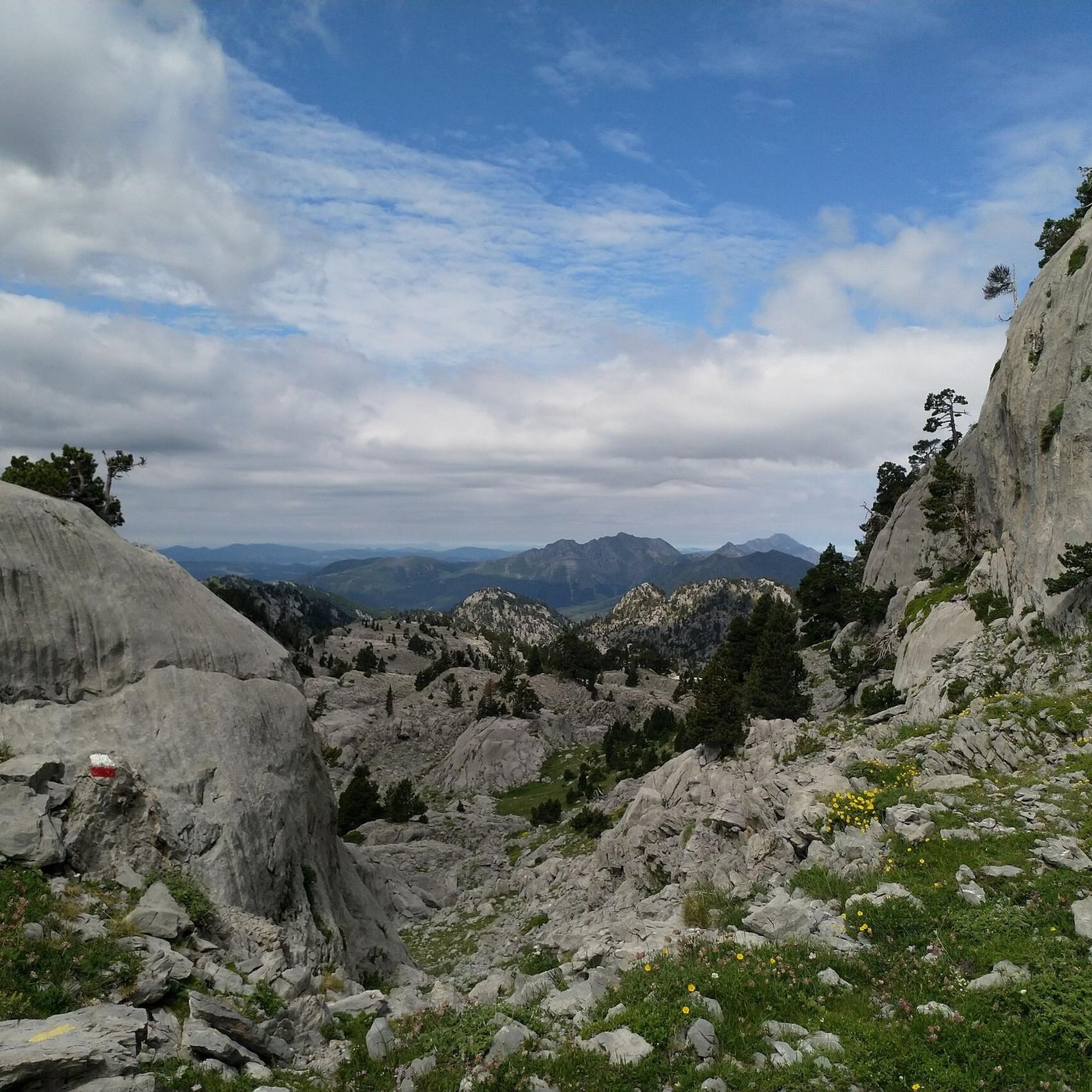
Cycling in Ukerdiko Erreserba Integrala/Reserva Integral De Ukerdi

Mountain Hikes in Ukerdiko Erreserba Integrala/Reserva Integral De Ukerdi
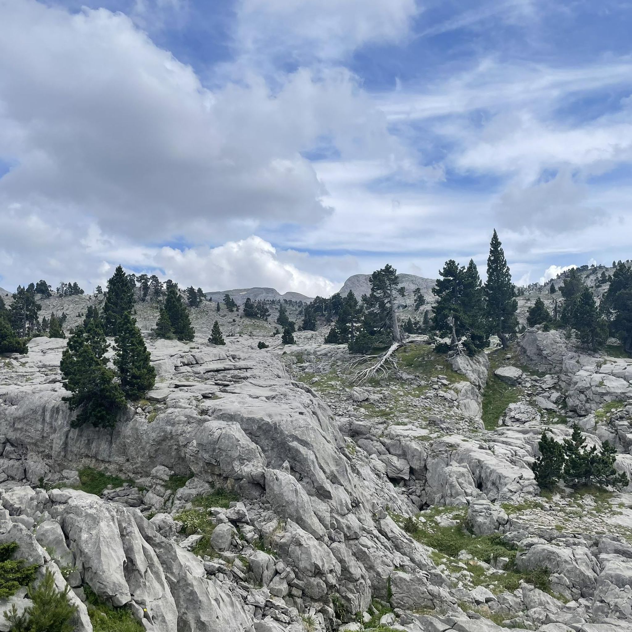
MTB Trails in Ukerdiko Erreserba Integrala/Reserva Integral De Ukerdi
Tips from the Community


Refuge in a beautiful location and starting point for numerous hikes
0
0

After breakfast, it closes for a while for cleaning. Fill up your water bottle before heading up, as it's a scarce resource up there.
0
0

The best starting point for the route to the Table of the 3 Kings, and many other itineraries.
3
0

Departure for many excursions. Resting place on the way back to regain strength.
3
0

Located in the heart of the Navarrese Pyrenees near the Spain-France border at the head of the Roncal Valley, it is a renowned ski center that is visited in summer by hikers and runners who want to enjoy a beautiful landscape. You have all the necessary services to make a stop on your route. For more information you can visit the official website: esquilarrabelagua.com.
2
0
A beautiful waterfall a few meters from the road that crosses the Spain-France border. It is worth a visit especially if you are on your way to the Belagua refuge.
4
0

This 1,945 m high peak is known in Aragonese as "Punta Maz". Its vertex separates the Belagua valley, in Navarra, from the Ansó valley, in Aragón.
3
0
Frequently Asked Questions
What kind of terrain can I expect on the running trails in Ukerdiko Erreserba Integrala/Reserva Integral De Ukerdi?
The region features diverse and challenging mountainous landscapes, characterized by rugged terrain, limestone precipices, dramatic ravines, and deep valleys. You'll find varied routes with both ascents and descents, as well as more level paths within its forests. The natural park setting in the Pyrenees offers a visually stimulating and physically engaging environment.
Are there running routes suitable for beginners or those looking for an easier jog?
While many routes are challenging, there are options for various ability levels. The region offers some paths suitable for all skill levels, with less than two hours of duration and under 1,000 feet of elevation gain, ideal for a leisurely jog. For example, the Larra-Belagua Ski Center loop from Drundagaña is a moderate 3.9-mile (6.3 km) trail.
What are the typical distances and difficulty levels of the running routes?
Running routes in Ukerdiko Erreserba Integrala/Reserva Integral De Ukerdi vary significantly. You can find easily accessible paths under two hours, moderate to challenging routes up to five hours with significant elevation gains, and even hard mountaineering routes for experienced trail runners. The guide lists 33 routes, with 1 easy, 5 moderate, and 27 difficult options.
Are there any circular running routes in the reserve?
Yes, there are circular running routes available. A popular option is the Larra-Belagua Ski Center loop from Drundagaña, which is a moderate 3.9-mile (6.3 km) trail. Another challenging circular route is the Txamantxoia Loop from Linza Refuge, covering 3.2 miles (5.1 km) with significant elevation.
Can I find routes that feature waterfalls?
Yes, the region's diverse landscape includes natural features like waterfalls. The Cascada de Arrako via the Rio Belagua is a 6.5-mile (10.5 km) trail that leads through a river valley and features a waterfall, offering a scenic running experience.
What do other runners say about the trails in Ukerdiko Erreserba Integrala/Reserva Integral De Ukerdi?
The running routes in Ukerdiko Erreserba Integrala/Reserva Integral De Ukerdi are highly rated by the komoot community, with an average score of 4.5 stars from 2 reviews. Over 320 runners have used komoot to explore the varied terrain, often praising the challenging yet rewarding mountainous environment.
Are there any specific landmarks or viewpoints along the running trails?
The mountainous terrain offers numerous scenic viewpoints. Peaks like the Summit of Anie (2504m) provide 'mega panorama' views for those undertaking more strenuous routes. Other notable areas include Pic d'Ansabère/Petrechema and Acherito, which are part of popular mountaineering routes and offer breathtaking scenery.
Is it possible to reach the running routes by public transport?
The provided information does not specify public transport options directly to the trailheads within Ukerdiko Erreserba Integrala/Reserva Integral De Ukerdi. Access is typically by car, with parking often available near popular starting points like the Larra-Belagua Ski Center or Linza Refuge.
Are there any family-friendly running options in the reserve?
For families, routes with less than two hours of duration and under 1,000 feet of elevation gain would be most suitable. These paths are generally more accessible and offer a leisurely experience. Always check the specific route details for suitability before heading out with children.
When is the best time of year to go running in Ukerdiko Erreserba Integrala/Reserva Integral De Ukerdi?
The best time to go running depends on your preference for conditions. Spring and autumn offer milder temperatures and vibrant scenery. During winter, some higher-altitude routes may require alpine experience and specific gear due to snow and ice, while lower paths might still be accessible. Summer can be warm, especially at lower elevations.
What kind of equipment or footwear is recommended for running in this region?
Given the rugged and mountainous terrain, sturdy trail running shoes with good grip are highly recommended. For more challenging or technical routes, especially those with significant elevation changes, sure-footedness is essential. Layered clothing is advisable due to varying weather conditions in mountainous environments.
Are there any longer, more challenging running routes for experienced trail runners?
Absolutely. The reserve is known for its challenging terrain. Many trails require good fitness, with durations up to five hours and elevation gains of up to 3,000 feet. For example, the Cascada de Arrako via the Rio Belagua is a difficult 6.5-mile (10.5 km) route, and the Lakartxela loop from GR 12 Euskal Herriko ur-mugaren ibilaldia is a difficult 10.8 km route with significant elevation gain.
Most popular routes in Ukerdiko Erreserba Integrala/Reserva Integral De Ukerdi

Get inspired with the komoot mobile app


Explore more
Browse the best Running Trails & Routes in other regions.
