The best walks and hikes in Mt. Macpherson Cross-Country Trails Recreation Site
4.3
(326)
2,413
hikers
36
hikes
Hiking in Mt. Macpherson Cross-Country Trails Recreation Site offers an extensive network of trails through forested and undulating landscapes near Revelstoke. The recreation site features rolling terrain that winds through forests and cutblocks, providing varied scenery for hikers. This area is known for its well-maintained trails, suitable for year-round outdoor activities.
Best hiking trails in Mt. Macpherson Cross-Country Trails Recreation Site
- The most popular hiking route is Mount Begbie — Revelstoke, a 10.4 miles (16.8 km) trail that takes 8 hours 30 minutes to complete. This difficult route features a significant elevation gain of over 6,500 feet (1,998 m).
- Another top favourite among local hikers is Beaver Lake loop from Big Eddy Park, a moderate 7.4 miles (11.9 km) path. This trail offers a loop around Beaver Lake with an elevation gain of over 1,000 feet (330 m).
- Local hikers also love the Begbie Falls – Begbie Falls loop from Malakwa, a 3.2 miles (5.1 km) trail leading through forested areas to the falls, often completed in about 1 hour 30 minutes.
- Hiking in Mt. Macpherson Cross-Country Trails Recreation Site is defined by forested paths, rolling terrain, and well-maintained singletrack trails. The network offers options for various ability levels, including easy, moderate, and difficult routes.
- The routes in Mt. Macpherson Cross-Country Trails Recreation Site are highly rated by the komoot community with an average score of 4.5 stars from over 250 reviews. More than 2,000 hikers have used komoot to explore Mt. Macpherson Cross-Country Trails Recreation Site's varied terrain.
Last updated: October 5, 2026
5.0
(3)
21
hikers
16.8km
08:31
2,000m
2,000m
Hike the difficult Mount Begbie Trail, a 10.4-mile route with 6556 feet of elevation gain, offering alpine views near Revelstoke.
4.6
(24)
161
hikers
5.16km
01:33
170m
170m
Easy hike. Great for any fitness level. Easily-accessible paths. Suitable for all skill levels.

4.5
(8)
82
hikers
Easy hike. Great for any fitness level. Easily-accessible paths. Suitable for all skill levels.
4.5
(6)
25
hikers
11.9km
03:28
330m
330m
Moderate hike. Good fitness required. Easily-accessible paths. Suitable for all skill levels.
4.2
(12)
25
hikers
Moderate hike. Good fitness required. Easily-accessible paths. Suitable for all skill levels.
Get access to more routes and recommendations from other explorers.
Already have an account?
Our route recommendations are based on thousands of hikes, rides, and runs completed by other people on komoot.
Start today with a free account
Your next adventure awaits.
Popular around Mt. Macpherson Cross-Country Trails Recreation Site
Tips from the Community

Nice waterfall. Unfortunately, lots of mosquitoes.
0
0

Begbie Falls is an impressive double waterfall surrounded by gorgeous, mossy forest and towering cliffs. They're easy to reach: you can hike here on the Bluff Trail that starts at the nearby highway, or you can drive on the service road and park quite close to the falls. On the way here, you pass a few viewing points, mainly from above, but this spot gives you the best frame of the falls; it's stunning.
0
0
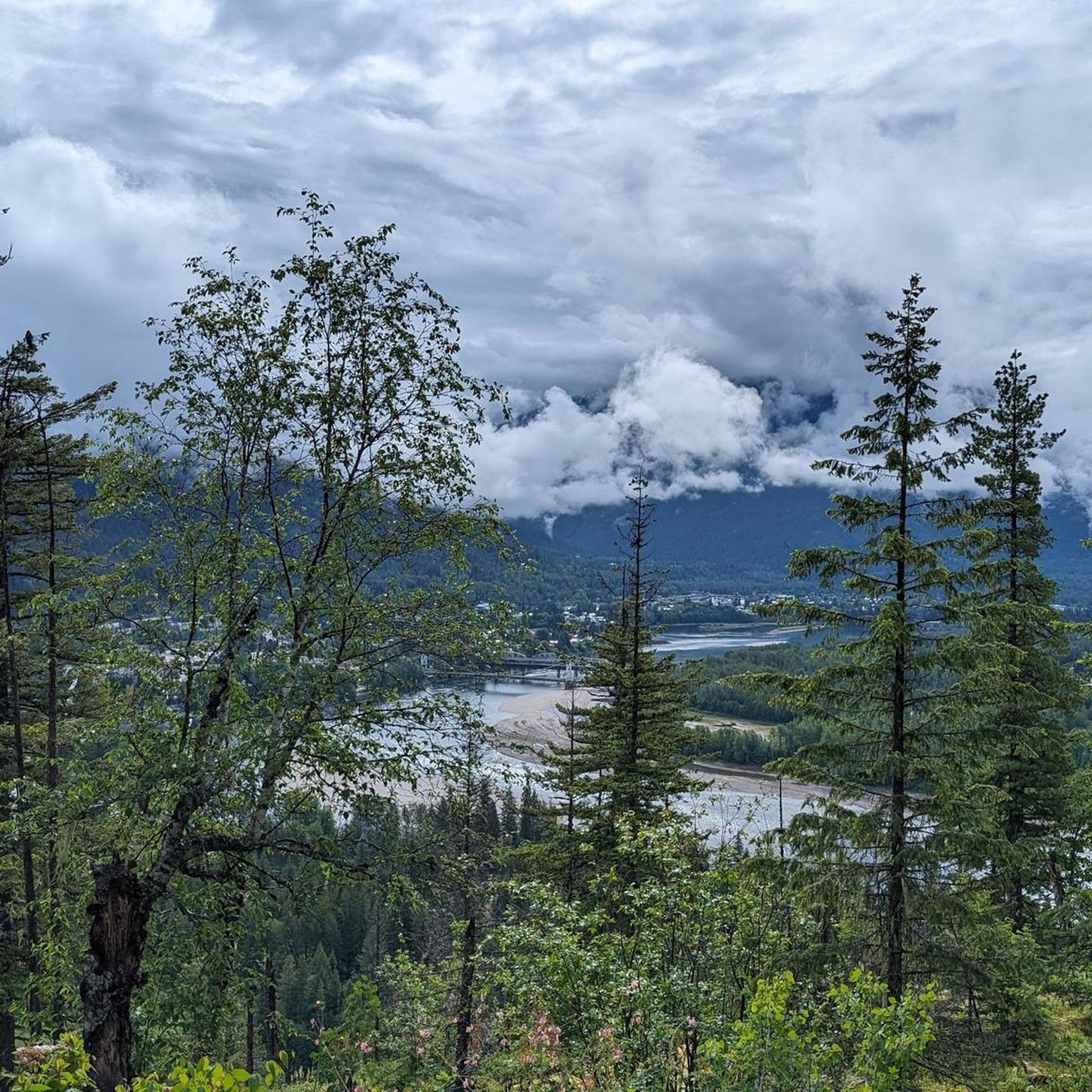
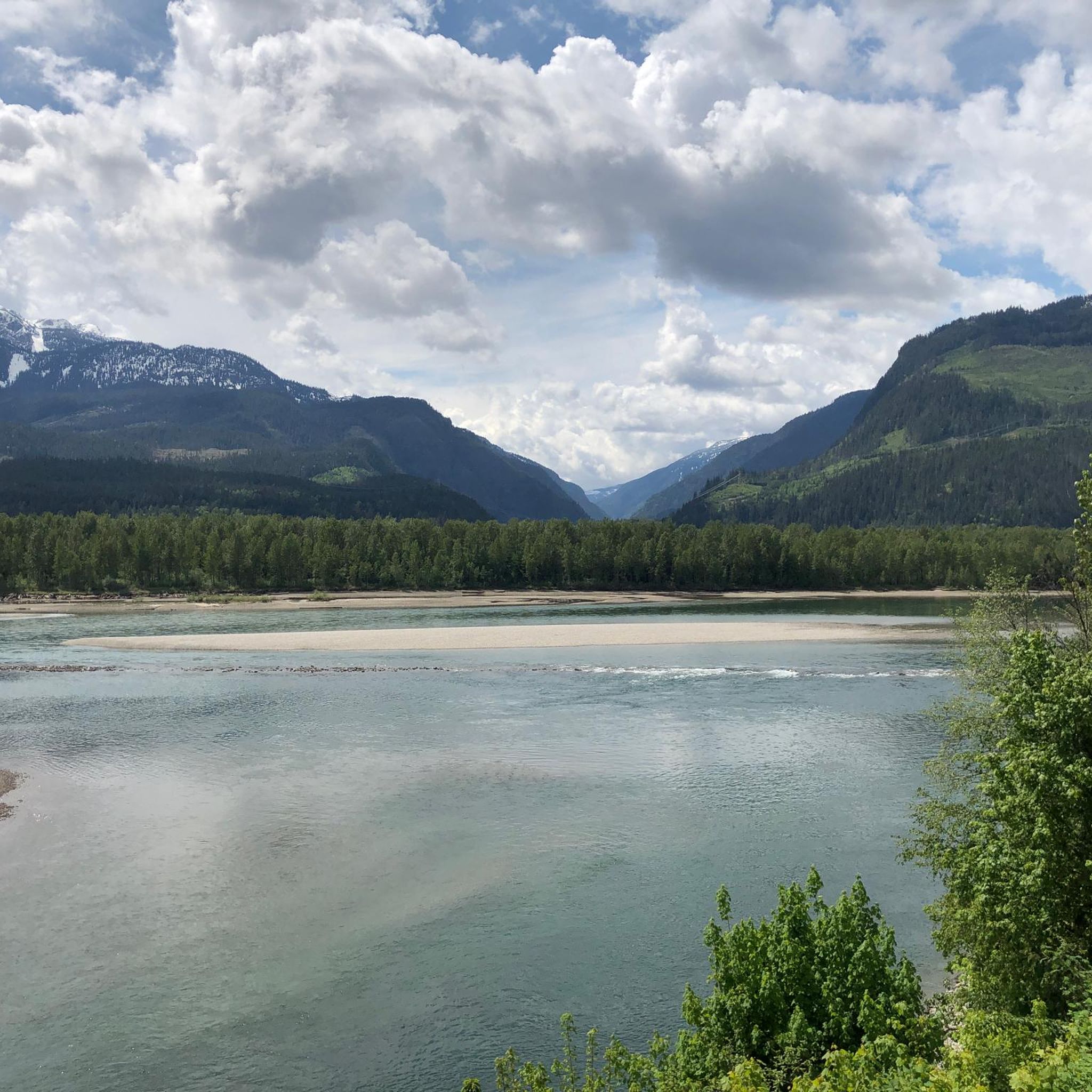
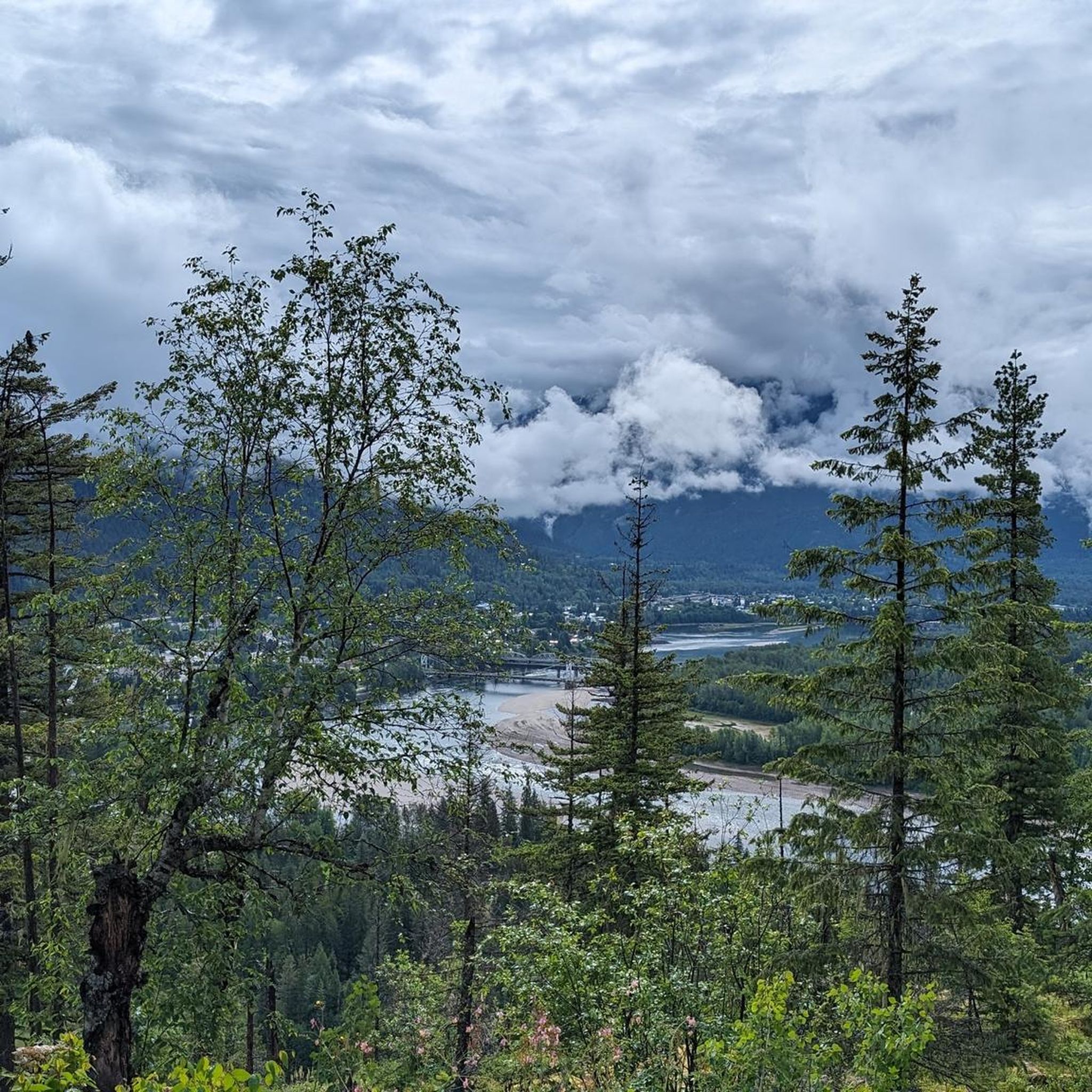
Here, you can see Begbie Creek run into Columbia River. The views are great, and there's even a picnic table in case you want to relax and enjoy the view a little longer. The river with Mount Cartier in the background is really postcard perfect.
1
0

This is a small backpacker campground that sits just below the glacier on Mount Begbie. The campground consists of four tent pads and a toilet.
0
0
Mount Begbie sits above the town of Revelstoke at 2,733 m in the Gold Range of the Monashee Mountains. The views from the summit are incredible, with the Monashees on one side and looking down on Revelstoke from the other.
0
0
Mount Begbie Trailhead sits approximately 10 km south of Revelstoke. The trailhead offers a few tent pads for camping and an outhouse.
0
0


In mid-September we were able to observe salmon coming up the river to spawn.
2
1
Frequently Asked Questions
How many hiking trails are available in Mt. Macpherson Cross-Country Trails Recreation Site?
The Mt. Macpherson Cross-Country Trails Recreation Site offers an extensive network of over 30 hiking trails. These routes cater to various skill levels, including easy, moderate, and difficult options, winding through forested and undulating landscapes.
Are there dog-friendly hiking trails in Mt. Macpherson Cross-Country Trails Recreation Site?
Yes, the site is very dog-friendly, offering designated trails where your canine companions are welcome. Some popular dog-friendly options include Roadway Ramble, Easy Al's, BCIT, Short Hop, and Ellie's. Please ensure you adhere to leash policies in specific areas.
What is the best time of year to go hiking in Mt. Macpherson Cross-Country Trails Recreation Site?
The warmer months are ideal for hiking, as the site offers a comprehensive system of trails. However, the area is versatile and can be enjoyed year-round. During winter, it transforms into a hub for Nordic skiing and snowshoeing, with some trails potentially suitable for winter hiking depending on conditions.
Are there any family-friendly hiking options in the area?
Yes, the Mt. Macpherson Cross-Country Trails Recreation Site includes several easy trails suitable for families. For example, the Begbie Falls – Begbie Falls loop from Malakwa is a 3.2-mile (5.1 km) easy trail that leads through forested areas to the falls, making it a great option for a shorter family outing.
What kind of terrain can I expect on the hiking trails?
Hikers can expect rolling terrain that winds through forests and cutblocks. The trails are well-maintained, offering varied scenery and a mix of forested paths and singletrack routes. The overall environment is diverse, providing a classic Pacific Northwest hiking experience.
Are there any circular hiking routes available?
Yes, several circular routes are available. A popular moderate option is the Beaver Lake loop from Big Eddy Park, which is 7.4 miles (11.9 km) long. Another moderate choice is the Beaver Lake loop from Malakwa, spanning 6.1 miles (9.8 km). For an easier circular walk, consider the Beaver Lake loop from Beaver Lake, which is 3.4 miles (5.4 km).
What are the parking facilities like at Mt. Macpherson Cross-Country Trails Recreation Site?
The recreation site offers convenient access with multiple parking lots available for visitors. This makes it easy to find a spot and begin your hike without hassle.
Are there any waterfalls to see along the hiking trails?
Yes, you can visit Begbie Falls. The Begbie Falls – Begbie Falls loop from Malakwa is a 3.2-mile (5.1 km) trail that specifically leads through forested areas to these falls, offering a scenic destination for hikers.
What do other hikers enjoy most about the trails in Mt. Macpherson Cross-Country Trails Recreation Site?
The area is highly rated by the komoot community, with an average score of 4.5 stars from over 250 reviews. Hikers frequently praise the well-maintained trails, the varied terrain through forests and cutblocks, and the extensive network that offers options for all ability levels.
How far is Mt. Macpherson Cross-Country Trails Recreation Site from Revelstoke, and are there amenities nearby?
The Mt. Macpherson Cross-Country Trails Recreation Site is located a short drive from Revelstoke, making it easily accessible. Revelstoke offers various amenities, including cafes, pubs, and accommodation options for visitors before or after their hikes.
Do I need any permits or have to pay fees to hike in Mt. Macpherson Cross-Country Trails Recreation Site?
The provided information does not indicate that permits or fees are required for hiking at the Mt. Macpherson Cross-Country Trails Recreation Site. It is generally accessible for public use.
What is the most challenging hike available in the area?
For experienced hikers seeking a significant challenge, the Mount Begbie — Revelstoke trail is a difficult 10.4-mile (16.8 km) route. It features a substantial elevation gain of over 6,500 feet (1,998 m) and typically takes around 8 hours 30 minutes to complete.
Most popular routes in Mt. Macpherson Cross-Country Trails Recreation Site

Get inspired with the komoot mobile app


Explore more
Browse the best Hikes in other regions.
