The best cycling routes in Whistler Interpretive Forest
4.2
(54)
1,311
riders
23
rides
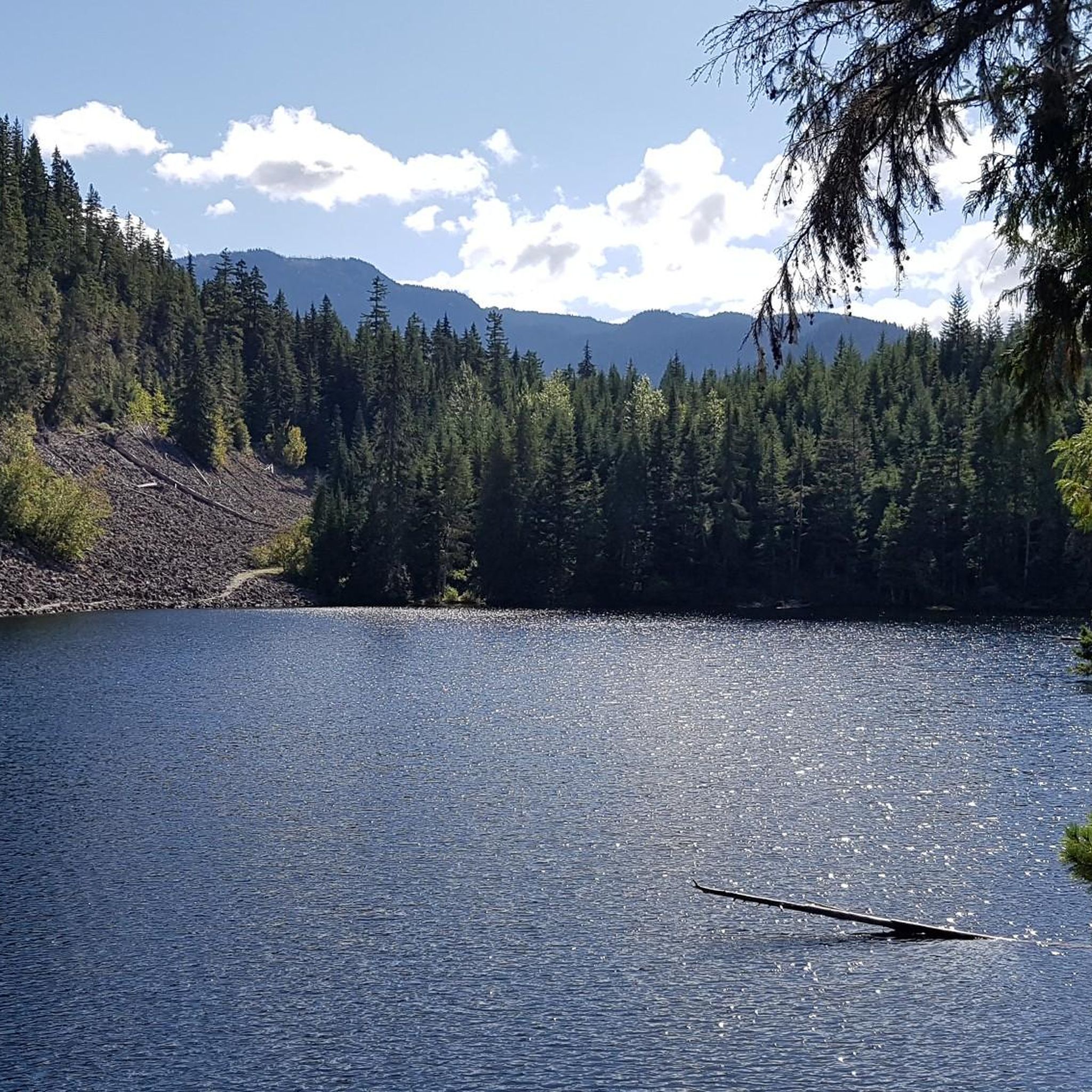
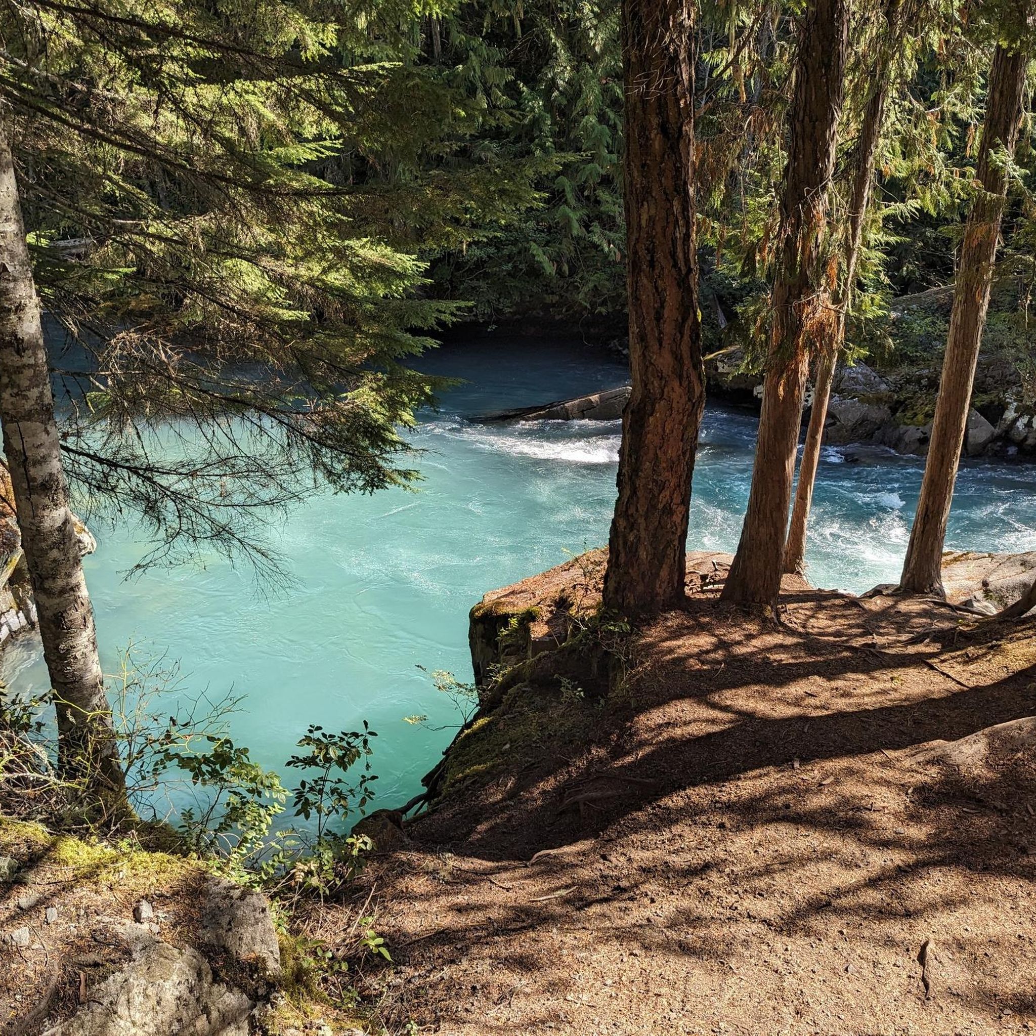
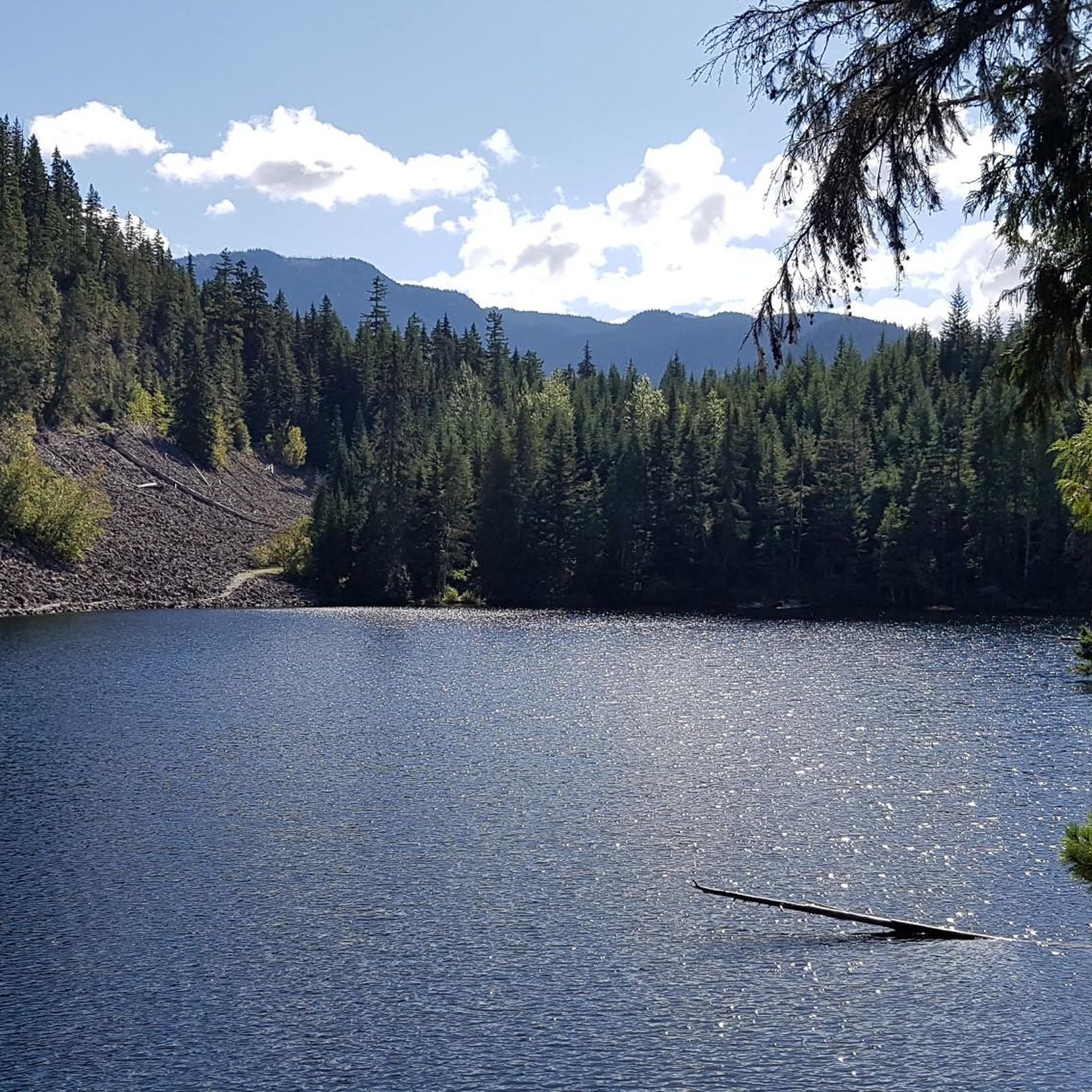
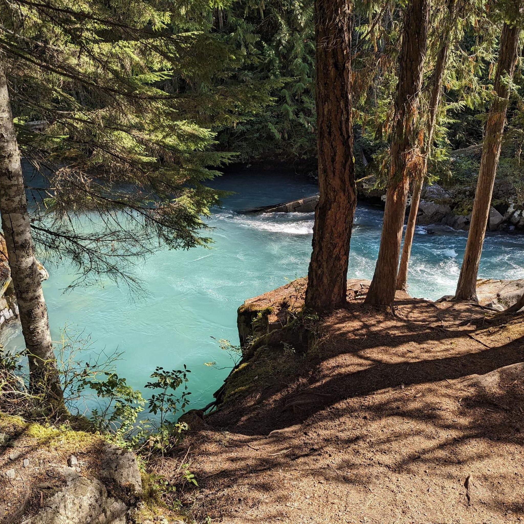
Touring cycling in Whistler Interpretive Forest offers a diverse landscape characterized by the turquoise Cheakamus River, picturesque mountain lakes like Alta Lake and Loggers Lake, and tranquil forests including old-growth stands. The region features a varied topography with trails winding through river valleys and around lake shores, providing engaging routes for cyclists. While not explicitly within the forest, many trails offer views of the nearby Coast Mountains. This area provides a mix of terrain suitable for various touring cycling experiences.
Best touring cycling routes in Whistler Interpretive Forest
- The most popular touring cycling route is Nita Lake loop from Cheakamus Crossing, a 7.5 miles (12.1 km) trail that takes about 48 minutes to complete. This moderate route circles Nita Lake, offering scenic views of the water and surrounding forest.
- Another top favourite among local touring cyclists is Rainbow Falls Trailhead – Elephant Bridge loop from Whistler Station, a moderate 19.7 miles (31.8 km) path. This route provides a longer ride through varied terrain, including sections near the Cheakamus River.
- Local touring cyclists also love the Nita Lake – Whistler Train Wreck loop from Whistler Station, a 65.3 miles (105.1 km) trail leading through diverse landscapes including Nita Lake and the unique Train Wreck site, often completed in about 7 hours 54 minutes.
- Touring cycling in Whistler Interpretive Forest is defined by the Cheakamus River, mountain lakes, and diverse forests. The extensive network offers options for easy, moderate, and difficult routes, catering to various ability levels.
- The routes in Whistler Interpretive Forest are highly rated by the komoot community with an average score of 4.4 stars from over 40 reviews. More than 1,200 touring cyclists have used komoot to explore Whistler Interpretive Forest's varied terrain.
Last updated: September 3, 2026
8
riders
12.2km
00:49
170m
170m
Moderate bike ride. Good fitness required. Mostly paved surfaces. Suitable for all skill levels.
4.8
(28)
354
riders
31.2km
02:11
400m
400m
Moderate bike ride. Good fitness required. Mostly paved surfaces. Suitable for all skill levels.

Sign up for free
54
riders
21.6km
01:24
280m
280m
Moderate bike ride. Good fitness required. Mostly paved surfaces. Suitable for all skill levels.
5.0
(5)
54
riders
15.9km
00:59
120m
120m
Easy bike ride. Great for any fitness level. Mostly paved surfaces. Suitable for all skill levels.
4.5
(4)
53
riders
14.6km
00:55
140m
140m
Easy bike ride. Great for any fitness level. Mostly paved surfaces. Suitable for all skill levels.
Get access to more routes and recommendations from other explorers.
Sign up for free
Already have an account?
Our route recommendations are based on thousands of hikes, rides, and runs completed by other people on komoot.
Start today with a free account
Your next adventure awaits.
Login or Signup

Other adventures in Whistler Interpretive Forest

Tips from the Community

Memorial Rock has become an informal place of remembrance. There are often flowers, handwritten notes, and painted stones left in memory of loved ones. Please enjoy this unofficial area peacefully and respectfully, as it is important to the community.
1
0

The lakes around Whistler, Alta Lake, Nita Lake, and Lost Lake, aren't that great to look at: swimming lakes, built-up areas, etc. Canada has something completely different to offer.
0
0

Lakeside Park is located on the southeast shore of Alta Lake. During the summer months, the beach is used for swimming. https://www.whistler.ca/parks-recreation-culture/parks/lakeside-park/
2
0
Alta Lake was formed by glacial retreat and subsequent sediment deposition, creating depressions that filled with meltwater. Alta Lake and other nearby lakes, such as Green Lake, are part of a large watershed whose waters flow north to the Lillooet River and south to the Cheakamus River. Historically, water flowed both north and south from Alta Lake, which lies at the top of the pass. This natural dual drainage system of the lake ended with the arrival of settlers. https://fireandicegeoregion.ca/geosite/whistler-valley-lakes-and-watershed-divide/
2
0
Green Lake is the largest lake in the Whistler region. To the north, it is the source of the Green River, which drains into the Lillooet River. Green Lake was formed during the last Ice Age, when sediment was deposited in the U-shaped valley, forming lake basins. The lake's green color is due to the glacial silt of Fitzsimmons Creek. From the wooden boardwalk on the southwest shore, we have a magnificent view of the lake and the seaplane landing. In the background, we can see the peaks of the Garibaldi Range, from Wedge Mountain to Mount Currie, including Mount Weart with the Armchair Glacier. https://www.piquenewsmagazine.com/local-news/naturespeak-awesome-geology-sites-around-whistlergreen-lake-part-2-7576124
2
0
The Lost Lake PassivHaus is the first passive house in Canada. It is located at the main entrance of Lost Lake Park. The building was initially used as accommodation for the Austrian Olympic Committee and Austrian Broadcasting, which broadcasted live to Austrian audiences during the 2010 Winter Olympics. After the Games, the Austrian Passive House Group donated it to the Municipality of Whistler. The building now serves as a day lodge, office and meeting space for the Whistler Off-road Cycling Association (WORCA) and Whistler Nordics, as well as a cross-country ski and mountain bike rental shop and a café. Source: https://www.passivehousecanada.com/projects/lost-lake-passive-house/
3
0
Two airlines offer scenic flights over the mountains, glaciers, and fjords during the summer months of May to September from the Green Lake Floatplane Dock. Flights to Vancouver and Vancouver Island are also available during this period. https://harbourair.com/locations/whistler/ https://www.whistlerreservations.com/summer-activities/whistler-float-plane-tour
2
1

A quiet place next to the river to remember. Our Spirits are Free like the Rivers that flow from the Mountains to the Sea. Live your Dreams.
0
0
Frequently Asked Questions
How many touring cycling routes are available in Whistler Interpretive Forest?
Whistler Interpretive Forest offers a diverse network of nearly 30 touring cycling routes. These routes cater to various skill levels, with options ranging from easy to difficult.
What are the difficulty levels of the touring cycling routes in Whistler Interpretive Forest?
The routes are well-balanced across difficulty levels. You'll find 11 easy routes, 9 moderate routes, and 9 difficult routes, ensuring options for cyclists of all experience levels.
Are there any easy touring cycling routes suitable for families or beginners?
Yes, there are several easy routes perfect for families and beginners. For example, the Nita Lake – View of Alta Lake loop from Whistler Station is an easy 15.8 km ride, offering scenic views. Another great option is the Nita Lake – Alta Lake loop from Southbound Hwy 99 at Alta Lake Road, which is 14.6 km and also rated easy.
What kind of terrain can I expect while touring cycling in Whistler Interpretive Forest?
You can expect a varied topography, with trails winding through river valleys, around picturesque mountain lakes like Alta Lake and Loggers Lake, and through tranquil forests, including old-growth stands. Many trails also offer spectacular views of the nearby Coast Mountains.
What natural features and landmarks can I see along the touring cycling routes?
The region is rich in natural beauty. You can experience the stunning turquoise Cheakamus River, ride past Logger's Lake (situated in a volcanic crater), and cross the impressive Cheakamus River Suspension Bridge. Many routes also offer viewpoints like the Old Viewpoint of the Coast Mountains or a View of the Tantalus Range. Don't miss the unique Train Wreck site, accessible via a scenic suspension bridge, featuring vibrant graffiti-covered train cars.
Are there any long-distance touring cycling options in the area?
Yes, for experienced cyclists looking for a longer ride, the Nita Lake – Whistler Train Wreck loop from Whistler Station is a challenging 105.1 km route that takes you through diverse landscapes, including Nita Lake and the Train Wreck site, typically completed in about 7 hours 54 minutes.
What do other touring cyclists enjoy the most about cycling in Whistler Interpretive Forest?
The area is highly rated by the komoot community, with an average score of 4.4 stars from over 40 reviews. Cyclists often praise the diverse landscapes, the stunning Cheakamus River, and the well-maintained trail network that offers options for all skill levels.
When is the best time of year to go touring cycling in Whistler Interpretive Forest?
The best time for touring cycling is generally from spring through fall when the weather is mild and trails are clear of snow. The region's glacial-fed rivers and lakes are particularly vibrant during warmer months. Always check local weather conditions before heading out.
Are there circular touring cycling routes available?
Yes, many of the touring cycling routes in Whistler Interpretive Forest are loops. For example, the popular Nita Lake loop from Cheakamus Crossing is a moderate 12.1 km circular route, and the Rainbow Falls Trailhead – Elephant Bridge loop from Whistler Station offers a longer 31.8 km loop through varied terrain.
Is parking available near the touring cycling trailheads?
Yes, the Whistler Interpretive Forest has various access points, and parking is generally available near popular trailheads and access points to the extensive trail network. Specific parking details can often be found on individual route pages or local Whistler tourism resources.
Can I reach the touring cycling trails by public transport?
Whistler has a public transit system that connects various neighborhoods and attractions. Many routes, such as those starting from Whistler Station, are accessible via public transport, making it convenient to reach the trailheads without a car.
Are dogs allowed on the touring cycling trails in Whistler Interpretive Forest?
Many trails in Whistler Interpretive Forest are dog-friendly, but it's always best to check specific trail regulations before you go. Generally, dogs should be kept on a leash, and owners are expected to clean up after their pets to maintain the natural environment for everyone.
Most popular routes in Whistler Interpretive Forest
Most popular attractions in Whistler Interpretive Forest

Get inspired with the komoot mobile app


Explore more
Browse the best Cycling routes in other regions.
