The best cycling routes in Capital Springs State Park
4.5
(156)
1,998
riders
138
rides
Touring cycling in Capital Springs State Park features an extensive network of paved trails, including sections of the Capital City State Trail and the Lower Yahara River Trail. The region is characterized by diverse landscapes such as marshlands, prairies, woodlands, and lakes, offering varied scenic routes. These trails connect to broader regional networks, providing accessible recreational facilities for cyclists. The terrain is generally easy to moderate, with some routes featuring up to 500 feet of elevation gain.
Best touring cycling…
Last updated: July 12, 2026
5.0
(6)
16
riders
12.2km
00:48
40m
40m
Easy bike ride. Great for any fitness level. Mostly paved surfaces. Suitable for all skill levels.
21
riders
Moderate bike ride. Good fitness required. Mostly paved surfaces. Suitable for all skill levels.

Sign up for free
5.0
(3)
18
riders
Easy bike ride. Great for any fitness level. Mostly paved surfaces. Suitable for all skill levels.
4.0
(1)
11
riders
Easy bike ride. Great for any fitness level. Mostly paved surfaces. Suitable for all skill levels.
5.0
(3)
10
riders
Easy bike ride. Great for any fitness level. Mostly paved surfaces. Suitable for all skill levels.
Get access to more routes and recommendations from other explorers.
Sign up for free
Already have an account?
Our route recommendations are based on thousands of hikes, rides, and runs completed by other people on komoot.
Start today with a free account
Your next adventure awaits.
Login or Signup


Tips from the Community

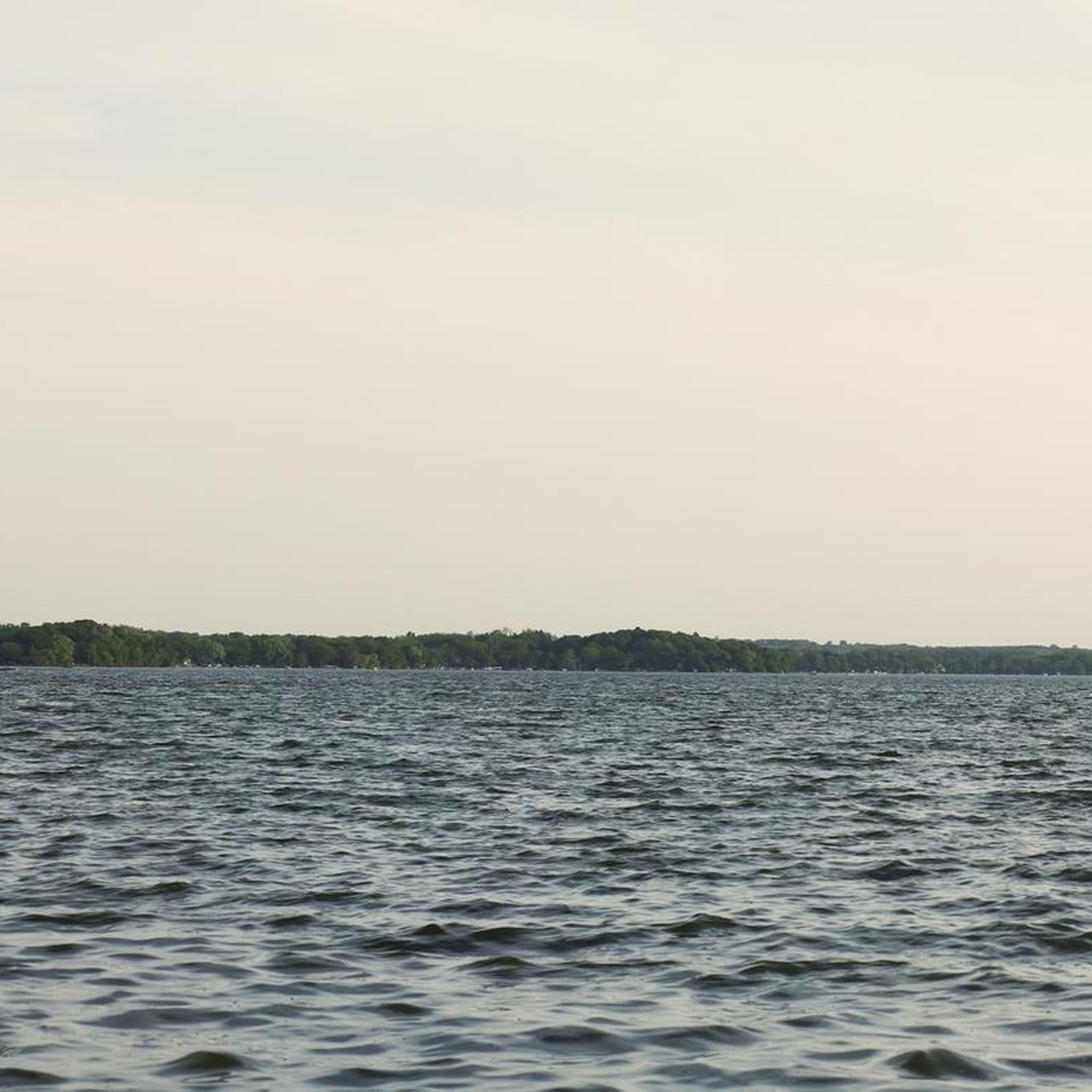
Long before it became the Frank Allis estate, the San Damiano site was a gathering and ceremonial place for Indigenous peoples, especially the Ho-Chunk Nation. The land sits along a natural rise overlooking Lake Monona—part of a sacred landscape once lined with effigy and burial mounds. One of those mounds still remains within the park today, protected and marked off from foot traffic. It stands as a quiet but powerful reminder that this shoreline was not just scenic, but spiritual ground long before Monona existed.
0
0
Lake Monona ( mih-NOH-nə) is a freshwater drainage lake in Dane County, Wisconsin, surrounded on three sides by the city of Madison, Wisconsin, and on the south east side by the city of Monona, Wisconsin. It is the second-largest of a chain of four lakes along the Yahara River (also including Mendota, Kegonsa, and Waubesa) in the area and forms the south shore of the isthmus that forms downtown Madison. The name 'Monona' is a word believed to mean 'beautiful', although the lake was originally named by the Ho-Chunk (Winnebago) 'Tchee-ho-bo-kee-xa-te-la' or 'Teepee Lake'.
0
0
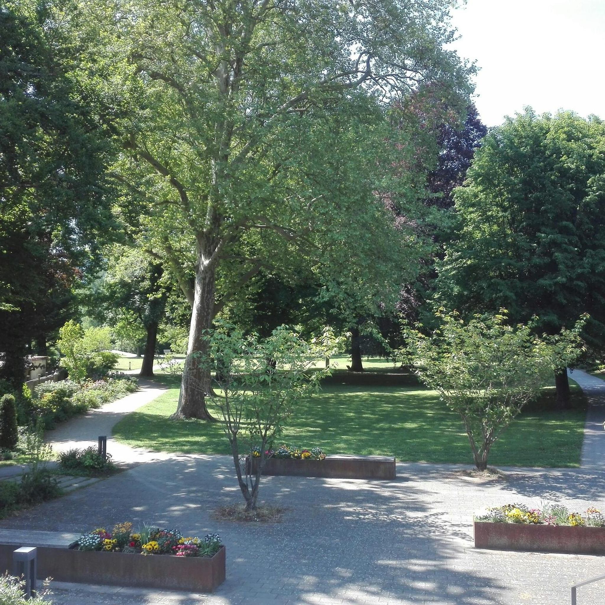
San Damiano Park in Monona, Wisconsin is a peaceful 10-acre lakefront property with over 1,000 feet of shoreline on Lake Monona, offering stunning views of the Madison skyline. Once the historic Frank Allis estate and later a Franciscan retreat, it’s now a public park blending nature, history, and quiet relaxation. You’ll find picnic tables, bike racks, and walking paths beneath big old trees, plus a few interpretive signs about its Indigenous and cultural past. The city’s long-term plan includes improved trails, native plantings, and better lake access, but even now it’s a perfect low-key stop for cyclists or anyone wanting a calm scenic break along the lake.
0
0
Repairstan bike station also.
0
0

The E-Way Unit of Capital Springs State Recreation Area features 625 acres of wetlands, prairies, and woodlands, providing a vital corridor for wildlife and outdoor recreation. There are miles of hiking, biking, and skiing trails, with scenic views of Nine Springs Creek. Envisioned initially as an environmental study model, the E-Way is a fantastic space for education and conservation.
0
0

From this spot along John Nolan Drive, you can see sweeping views of Lake Monona with the short skyline of Madison the background.
0
0
The Capital City State Trail is a 17-mile paved multi-use path open year-round. A state trail pass is required to bike the nine-mile portion of the trail that passes through the Capital Springs E-way south of Madison between Verona Road and Nob Hill near Industrial Drive, but the remainder is free to access.
0
0
Frequently Asked Questions
What kind of terrain can I expect on touring cycling routes in Capital Springs State Park?
The routes in Capital Springs State Park are primarily on paved trails, including sections of the Capital City State Trail and the Lower Yahara River Trail. You'll cycle through diverse landscapes such as marshlands, prairies, woodlands, and along lakes. While generally easy to moderate, some routes feature up to 500 feet of elevation gain.
Are there many touring cycling routes available in Capital Springs State Park?
Yes, Capital Springs State Park offers a wide selection for touring cyclists. There are over 130 touring cycling routes available, with the majority (around 99) being classified as easy, making them accessible for various skill levels.
What are some notable natural features or viewpoints along the cycling trails?
Cyclists can enjoy sweeping vistas of Lake Monona and the Madison skyline, particularly from routes along John Nolan Drive. The Lower Yahara River Trail features a 0.9-mile-long boardwalk bridge over prairies and marshes, offering picturesque views across Lake Waubesa and opportunities for wildlife observation. The park's diverse habitats, including wetlands and prairies, also provide excellent birding opportunities.
Are there any family-friendly touring cycling routes in Capital Springs State Park?
Many of the routes are suitable for families due to their paved surfaces and generally easy difficulty. The Lower Yahara River Trail loop from Terravessa is an easy 7.6-mile path that traverses prairies and marshlands, including a long boardwalk section, which can be a fun and accessible option for families. The Jenni and Kyle Preserve within the park is also designed to be fully accessible.
Can I find circular touring cycling routes in the park?
Yes, many routes in Capital Springs State Park are designed as loops. For example, the Monona Terrace Rooftop – Yahara River loop from Capital Springs State Park is a popular 13.8-mile option offering views of Lake Monona. Another great choice is the Lower Yahara River Trail – Capital City State Trail loop from Hog Island, which combines two major trails into a 13.3-mile ride.
What do other touring cyclists think about the routes in Capital Springs State Park?
The touring cycling routes in Capital Springs State Park are highly rated by the komoot community, with an average score of 4.4 stars from over 180 reviews. Cyclists often praise the well-maintained paved trails, the diverse scenery through marshlands and woodlands, and the connections to broader regional networks.
Are there any historical or cultural points of interest along the trails?
Yes, the Lake Farms Archaeological District, recognized for its cultural importance and listed on the National Register of Historic Places, adds a historical dimension to the natural environment. While not directly on every cycling route, its proximity enriches the overall experience of the park.
Where can I find parking for the touring cycling trails?
Parking is generally available at various access points to the trails within Capital Springs State Park. The Lussier Family Heritage Center can serve as a potential starting point with facilities. For specific parking information related to the Capital City State Trail, you may find details on the Wisconsin DNR website: Wisconsin DNR - Capital Springs Recreation.
What is the best time of year to go touring cycling in Capital Springs State Park?
The trails are open year-round, but the best time for touring cycling is typically during spring, summer, and fall when the weather is mild and the natural scenery is vibrant. Spring brings blooming prairies, summer offers lush greenery, and fall showcases beautiful foliage. Winter cycling is possible, but conditions may vary with snow and ice.
Are there any long-distance connections from Capital Springs State Park trails?
Yes, the Capital City State Trail, which runs through the park, serves as a central hub. It links to other major biking routes such as the Military Ridge State Trail, Badger State Trail, and local Madison and Fitchburg trail corridors, allowing for extended touring cycling adventures beyond the park's immediate boundaries.
What kind of wildlife can I expect to see while cycling?
The park's diverse habitats, including wetlands, prairies, and woodlands, support a variety of wildlife. You can often spot various bird species, especially shorebirds and waterfowl, particularly from observation points like the MMSD Wildlife Observation Deck & Boardwalk. Keep an eye out for other small mammals and local fauna as you cycle through the natural areas.
Is there a route that combines both the Lower Yahara River Trail and the Capital City State Trail?
Absolutely. The Lower Yahara River Trail – Capital City State Trail loop from Hog Island is a 13.3-mile route that seamlessly connects these two prominent trails, offering a comprehensive experience of the park's diverse landscapes and key cycling infrastructure.
Most popular routes in Capital Springs State Park

Get inspired with the komoot mobile app


Explore more
Browse the best Cycling routes in other regions.
