The best walks and hikes around Donaueschingen
4.5
(17132)
63,941
hikers
325
hikes
Hiking trails around Donaueschingen are situated in the Baar basin, at the eastern edge of the Southern Black Forest, offering a varied natural landscape. The region is notable for being the symbolic source of the Danube River, with numerous trails following its water-rich environment. Hikers can explore diverse terrain, from the gentle heights of the Baar to areas bordering the Black Forest, characterized by streams, rivers, and moor lakes. This geographical position provides a range of routes suitable for various…
Last updated: October 9, 2026
4.1
(10)
34
hikers
9.22km
02:23
50m
40m
Moderate hike. Good fitness required. Easily-accessible paths. Suitable for all skill levels.
4.8
(4)
51
hikers
4.19km
01:04
10m
10m
Easy hike. Great for any fitness level. Easily-accessible paths. Suitable for all skill levels.

4.4
(114)
433
hikers
7.46km
01:53
10m
10m
Easy hike. Great for any fitness level. Easily-accessible paths. Suitable for all skill levels.
4.6
(89)
505
hikers
Easy hike. Great for any fitness level. Easily-accessible paths. Suitable for all skill levels.
4.7
(7)
43
hikers
8.09km
02:08
70m
70m
Moderate hike. Good fitness required. Easily-accessible paths. Suitable for all skill levels.
Get access to more routes and recommendations from other explorers.
Already have an account?
Our route recommendations are based on thousands of hikes, rides, and runs completed by other people on komoot.
Start today with a free account
Your next adventure awaits.
Popular around Donaueschingen
bwegt-Wanderwege – travel in a flexible way, experience more
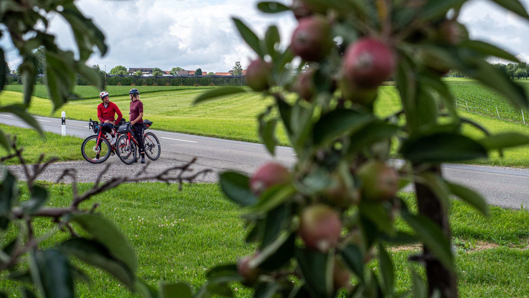
SEND IT! Germany by bike with two mountain bike pros
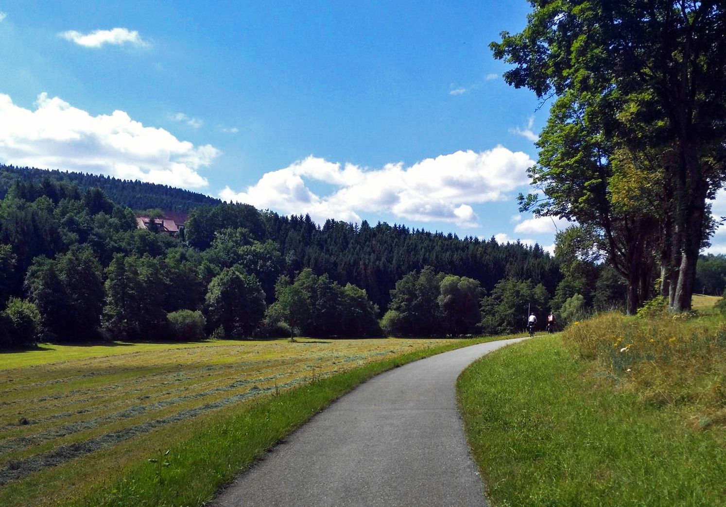
The Heidelberg-Schwarzwald-Bodensee-Radweg
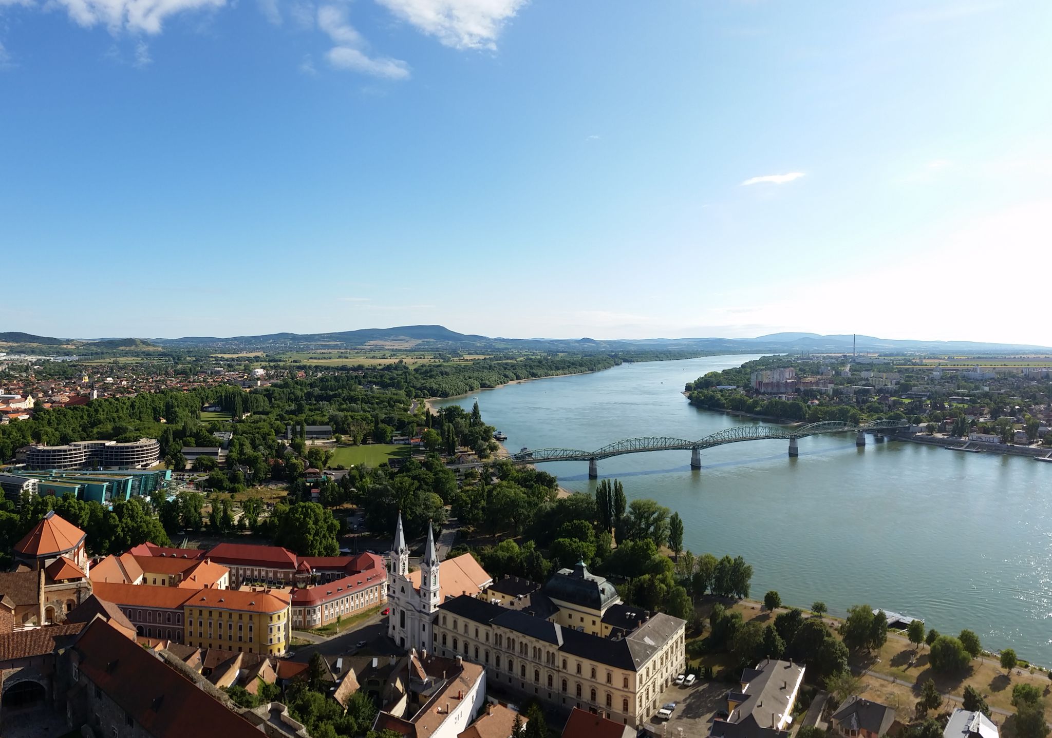
The Danube Cycle Path – From Donaueschingen to Budapest
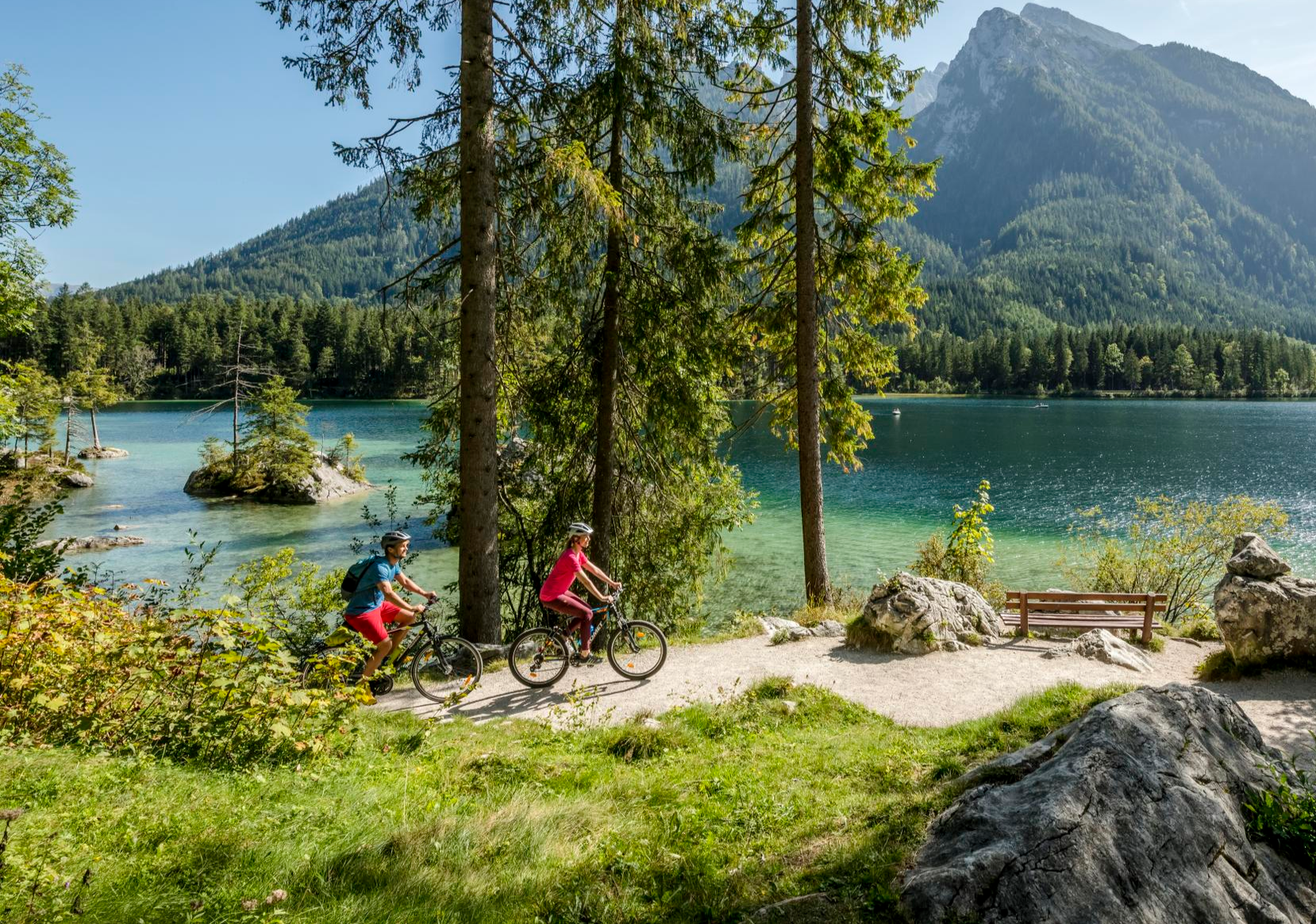
Discover Germany's diversity on enchanting cycling routes
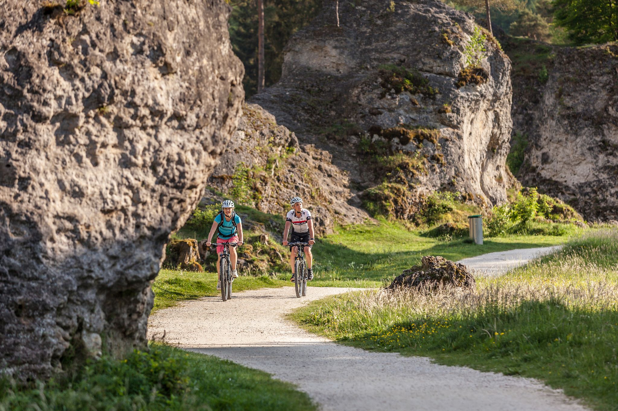
Experience nature by bike in the Swabian Jura
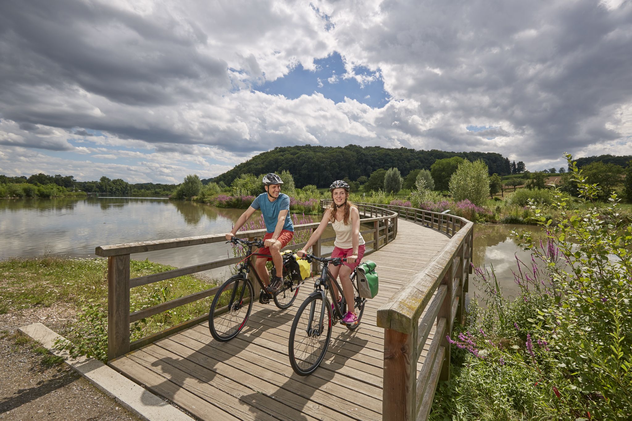
Long-distance cycle routes in Baden-Württemberg – endless rivers and lakes
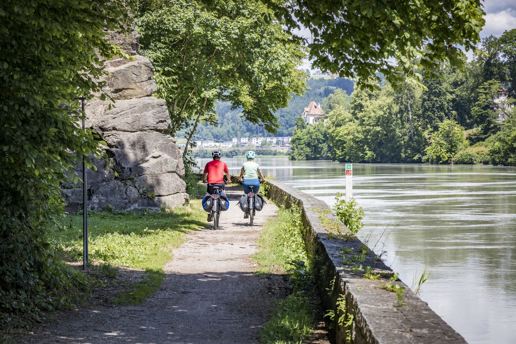
Kilometres of cycling fun – long-distance cycle routes in Bavaria
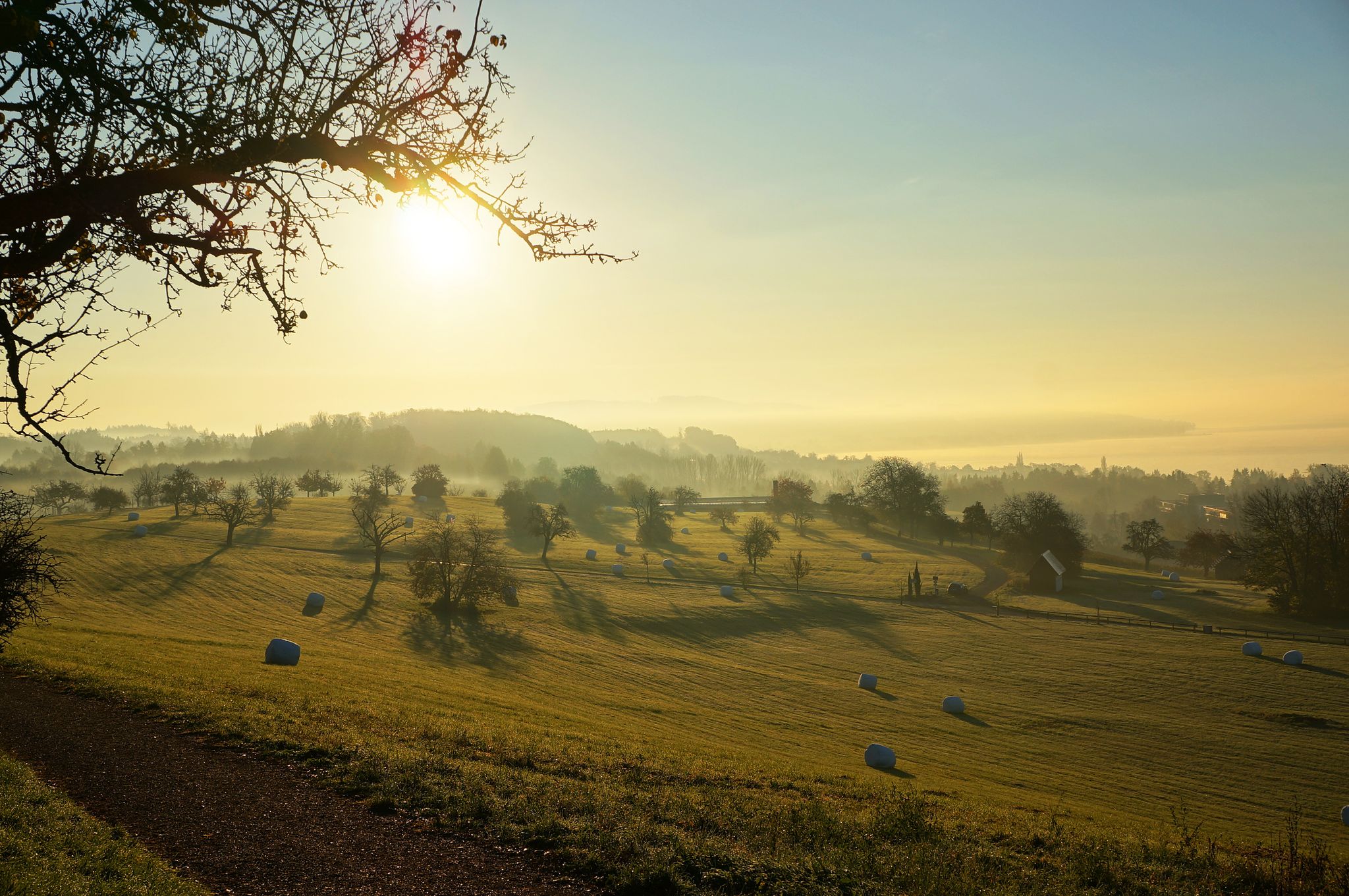
The Heidelberg-Schwarzwald-Bodensee-Radweg
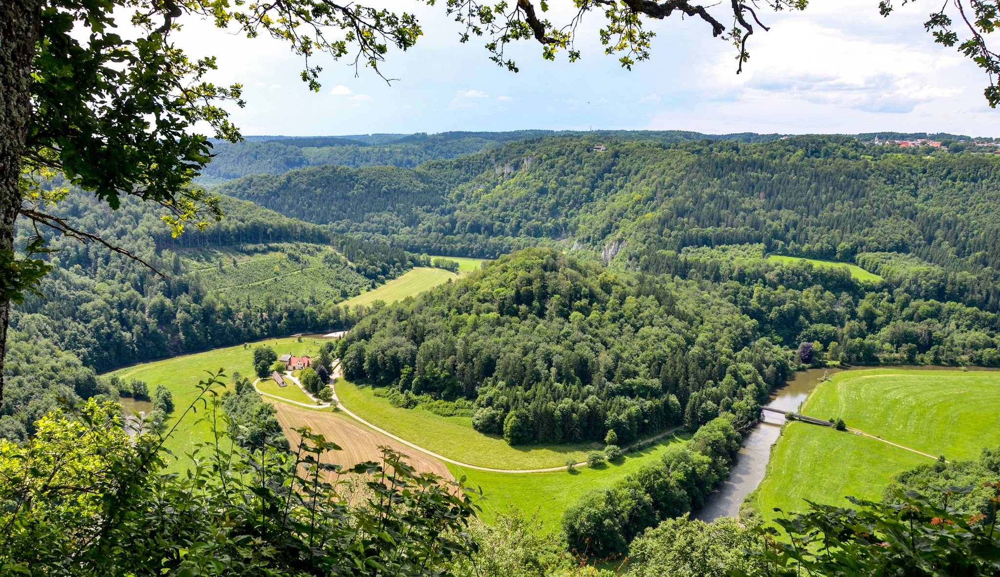
A long weekend along the young Danube — the Danube Cycle Path
Other adventures around Donaueschingen


Tips from the Community

Es erinnert an Ereignisse, die mit der ungarischen Nation und ihrer Kultur verbunden sind, z. B. an die Flucht ungarischer Freiheitskämpfer nach der Revolution von 1848/49 oder an andere historische Bezüge zwischen Donaueschingen und Ungarn.
0
0

great old town Donaueschingen with the official Danube spring
0
0

Water wheel as an optical element on the house and without function because the sluice board in the water inlet cannot be opened due to the rusted threaded rod. The right and former sluice board for regulating the water level in front of the water inlet has been replaced by a concrete wall, and thus also the usual walkway as access to the sluice board at the water inlet. I worked in hydropower for 20 years.
0
0

The cross is located in the castle park on the Brigach near the Parkrestaurant.
0
0

A traditional Kneipp hydrotherapy pool in the Naturpark Südschwarzwald. Free to use and great for cooling tired legs mid-ride — a refreshing treat on warm days.
0
0

The "Wooden Throne" in Donaueschingen is a popular destination for strollers and hikers, which impresses above all with its charming "upcycling" idea. It is a massive tree stump that was not simply removed, but transformed into a stately armchair or throne by a skilled wood artist (presumably with a chainsaw) directly on site. The throne is located near the Schlosspark Fürstenberg, often mentioned in connection with hiking routes towards the Donautempel or along the Brigach. It is a typical "highlight" on platforms like Komoot, as it offers a perfect photo opportunity.
0
0

Even if you don't play golf yourself, it's fascinating to circle this course.
1
0

Hungary Cross (Crown of Saint Stephen) This cross with a bell was erected in memory of the following fateful events of Hungarian history. July 22, 1456: Battle of Nándor-Fehérvár (Belgrade) between Hungarian troops under the leadership of Imperial Field Marshal and Regent János Hunyadi against the troops of the Turkish Sultan Mehmed II. The victory of the Hungarians saved Christian Europe from Islamic rule. In extreme distress, Pope Callixtus III, on June 29, 1456, ordered the so-called noon ringing, also called the ringing of dread or Turkish bells, and prayer for heavenly help. For this reason, church bells still ring at 12 noon today. 1956: The People's Uprising in Hungary for independence and democracy was suppressed by Russian occupation troops. Many people in Hungary lost their lives, were punished with long prison sentences, or left their homeland. 1989: The "Iron Curtain" between East and West was torn down by Hungary after the collapse of the Soviet empire. This enabled many Germans to flee to freedom, promoted the reunification of Germany, and ultimately led to the town twinning between Vác and Donaueschingen, which was sealed in 1994. The memorial cross was donated by S.D. Prince Max zu Fürstenberg. The installation was initiated by the then representative of the Hungarians in the Danube source region, Ferenc v. Rónay from Zombor. It was inaugurated on July 22, 1956. A first renovation was carried out in 1983 by the Princely Fürstenberg Fusilier Guard. In 2001, the town of Donaueschingen and the Vác Friends' Circle had the cross renovated. June 2001
0
0
Frequently Asked Questions
How many hiking trails are available around Donaueschingen?
Donaueschingen offers a wide variety of hiking experiences, with over 320 routes available. These trails cater to different preferences, ranging from easy strolls to more challenging paths.
What is the general difficulty level of hikes in Donaueschingen?
The majority of hikes in Donaueschingen are considered easy or moderate. There are over 200 easy routes and more than 100 moderate routes, making the area accessible for most hikers. A small number of more difficult trails are also available for those seeking a challenge.
Are there family-friendly hiking options in Donaueschingen?
Yes, Donaueschingen is very suitable for family hikes, especially given the abundance of easy routes. Many trails wind through the scenic Baar basin and the Fürstenberg Palace Park, offering gentle terrain and beautiful surroundings. For example, the Riedsee Lakeside Trail loop from Pfohren is an easy option with views of Riedsee lake.
Can I bring my dog on hikes around Donaueschingen?
Generally, dogs are welcome on hiking trails in Donaueschingen. The diverse natural landscape, with its streams and open areas, provides a great environment for walks with your canine companion. However, it's always advisable to keep dogs on a leash, especially in nature reserves or near livestock, and to check local regulations for specific trails.
Are there circular hiking routes in Donaueschingen?
Yes, many of the hiking routes in Donaueschingen are designed as circular trails, allowing you to start and end at the same point. This is convenient for exploring the varied terrain without needing to arrange transport back to your starting location. An example is the Öschberghof Golf Course – Öventhütte loop.
Are there any waterfalls to see on hikes near Donaueschingen?
The region around Donaueschingen is characterized by its water-rich environment, and you can indeed find impressive waterfalls. Notable examples include the Gauchach Waterfall and the Schleifenbach Waterfalls. Some trails also lead through picturesque gorges like the Wutach Gorge and Rötenbach Gorge, where water features are prominent.
What natural landmarks or points of interest can I explore while hiking?
Donaueschingen is famous as the symbolic source of the Danube River. You can visit the Donauquelle in the Fürstenberg Palace Park, which is a significant natural landmark. The Fürstenberg Palace Park – View of the Danube Temple loop is a great way to explore this area. Other points of interest include the serene Riedsee lake and the diverse landscapes of the Baar basin at the edge of the Black Forest.
What do other hikers say about the trails in Donaueschingen?
The hiking trails in Donaueschingen are highly regarded by the komoot community, with an average rating of 4.6 out of 5 stars from over 5,000 reviews. More than 20,000 hikers have explored the varied terrain, often praising the well-maintained paths, the beautiful natural scenery, and the unique experience of hiking near the Danube's source.
What makes Donaueschingen a unique hiking destination?
Donaueschingen's uniqueness stems from its location as the symbolic source of the Danube River, nestled in the Baar basin at the eastern edge of the Southern Black Forest. This geographical position creates a diverse and water-rich landscape, offering a blend of gentle heights, picturesque river valleys, and glimpses of the rugged Black Forest. The integration of natural beauty with cultural and historical sites, such as the Fürstenberg Palace Park, further enhances the hiking experience.
Is parking available near the hiking trails in Donaueschingen?
Yes, parking is generally available at or near the starting points of many hiking trails in Donaueschingen and the surrounding areas. Specific parking information can often be found on individual route descriptions on komoot, or by checking local signage upon arrival.
How accessible are the hiking trails by public transport?
Donaueschingen has good public transport connections, and some trailheads are accessible via local buses or trains. While not all routes may start directly at a public transport stop, many are within reasonable walking distance. It's recommended to check local bus and train schedules in advance to plan your journey to specific trail starting points.
What is the best time of year for hiking in Donaueschingen?
The spring, summer, and early autumn months (roughly April to October) are generally the best times for hiking in Donaueschingen. During these periods, the weather is typically mild and pleasant, and the natural landscape is vibrant. Spring brings blooming flora, summer offers warm days, and autumn showcases beautiful foliage. Winter hiking is also possible, but some trails might be affected by snow or ice, requiring appropriate gear.
Most popular routes around Donaueschingen
Most popular attractions around Donaueschingen

Get inspired with the komoot mobile app


Explore more
Browse the best Hikes in other regions.
