The best gravel rides around Freudental
4.7
(134)
748
riders
68
rides
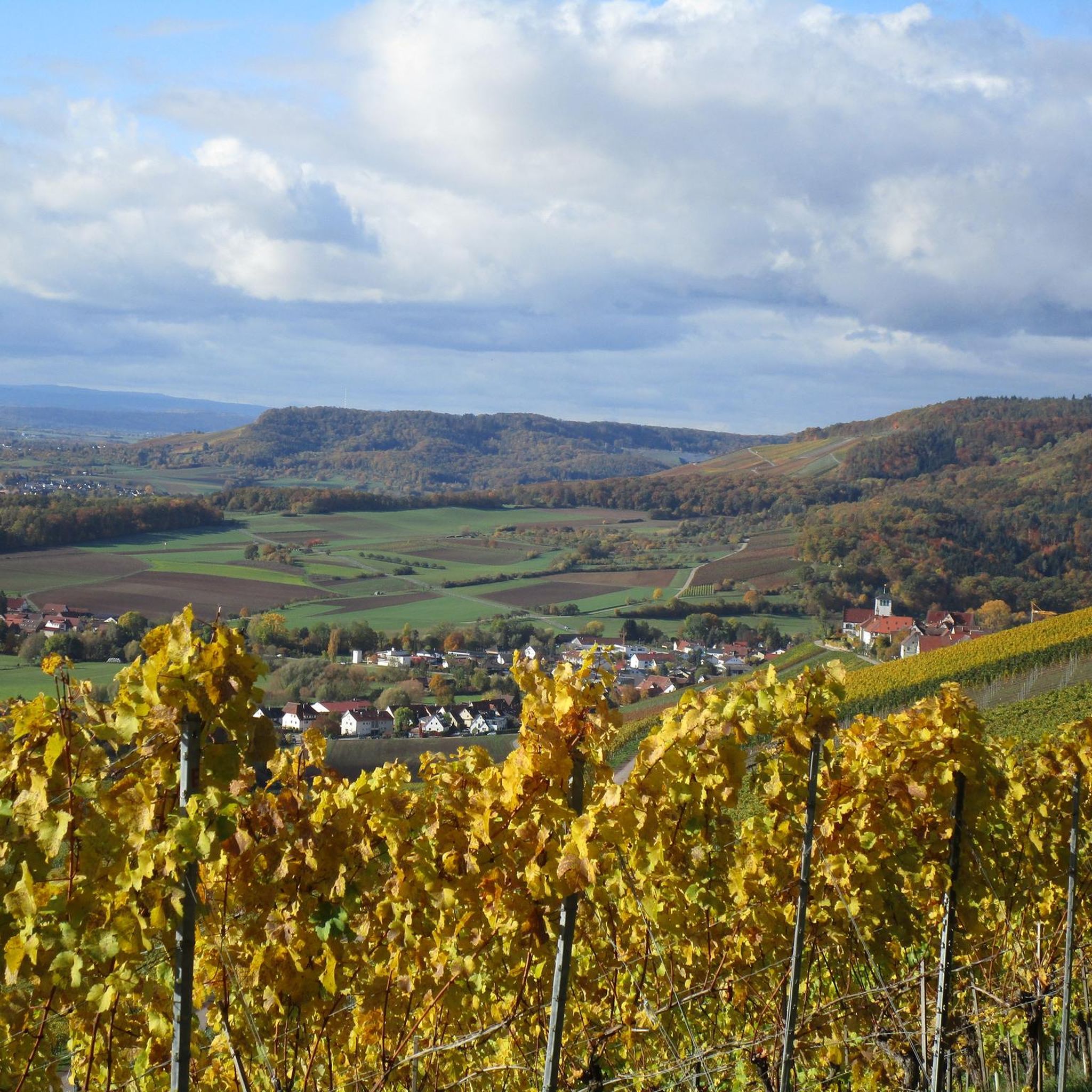
Gravel biking around Freudental offers diverse landscapes within the Stromberg region, often referred to as the "Land of 1,000 Hills." The terrain features a mix of forest tracks, vineyard trails, and rolling hills, providing varied elevations suitable for gravel bikes. Riders can explore protected natural areas within the Naturpark Stromberg-Heuchelberg, encountering geological formations and scenic views. The area's extensive cycling network includes routes with both paved and unpaved surfaces.
Best gravel bike trails around Freudental
- The most popular gravel bike…
Last updated: October 13, 2026
5.0
(4)
31
riders
49.7km
04:18
820m
820m
Hard gravel ride. Very good fitness required. Mostly paved surfaces. Suitable for all skill levels.
4.8
(5)
18
riders
50.0km
03:46
600m
600m
Hard gravel ride. Very good fitness required. Some segments of this route may be unpaved and difficult to ride.

4.5
(2)
14
riders
74.1km
06:10
1,170m
1,160m
Hard gravel ride. Very good fitness required. Mostly paved surfaces. Suitable for all skill levels.
4.7
(7)
37
riders
52.6km
03:27
740m
740m
Hard gravel ride. Very good fitness required. Mostly paved surfaces. Suitable for all skill levels.
4.8
(5)
14
riders
48.6km
02:50
560m
560m
Hard gravel ride. Very good fitness required. Mostly paved surfaces. Suitable for all skill levels.
Get access to more routes and recommendations from other explorers.
Already have an account?
Our route recommendations are based on thousands of hikes, rides, and runs completed by other people on komoot.
Start today with a free account
Your next adventure awaits.
Popular around Freudental

Spring in the land of 1,000 hills – Kraichgau-Stromberg in Germany

Wander3Klänge: Einfach Los Wandern im Naturpark Stromberg-Heuchelberg

Zu Fuß durchs Land der 1000 Hügel
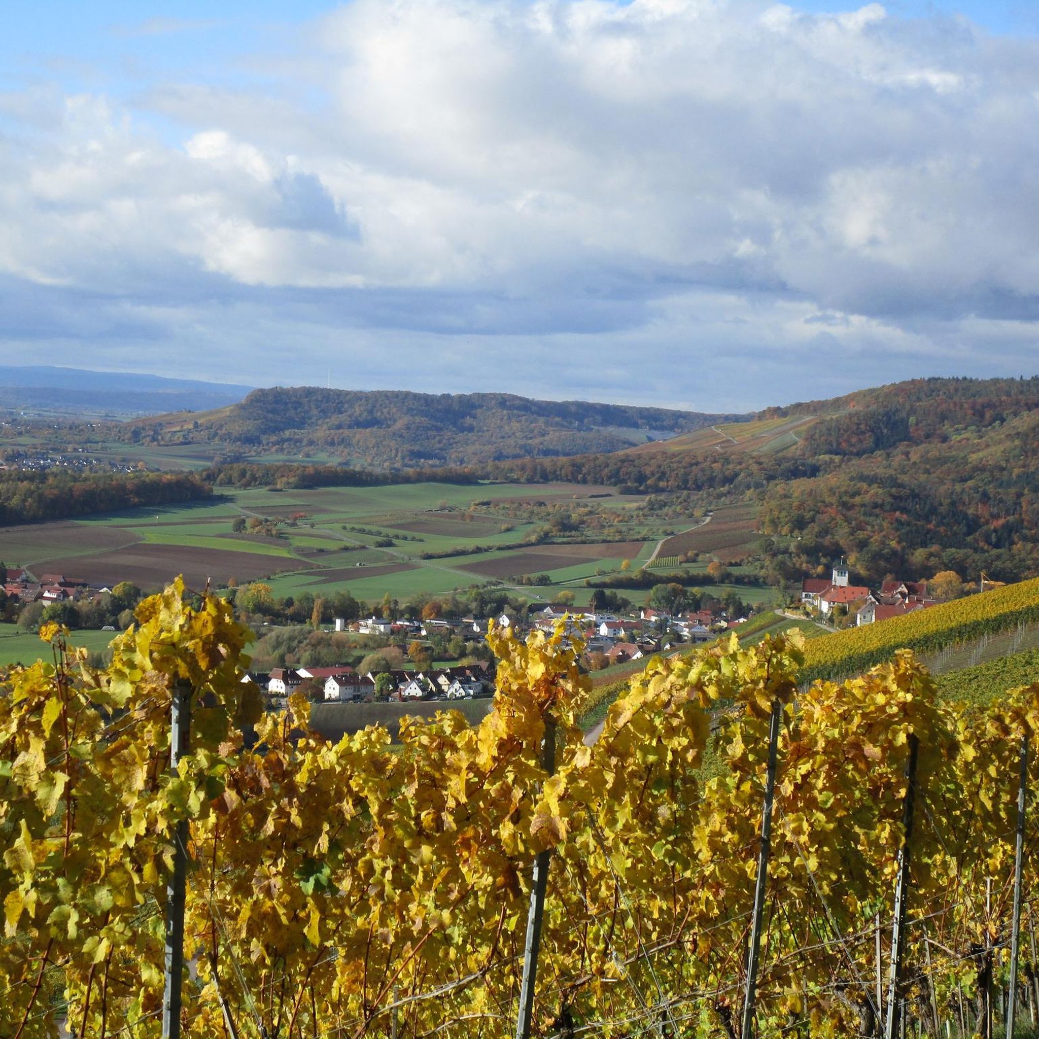
Hiking around Freudental
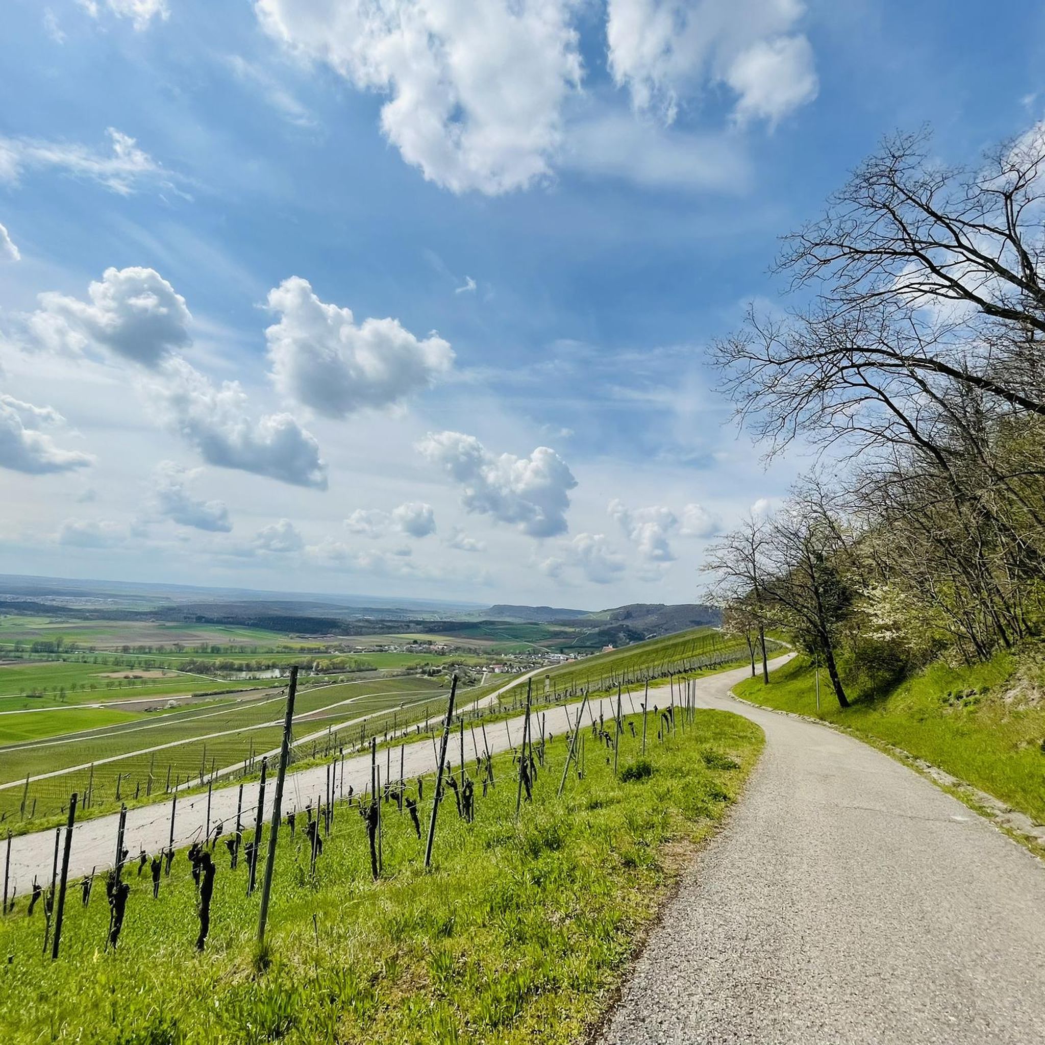
MTB Trails around Freudental
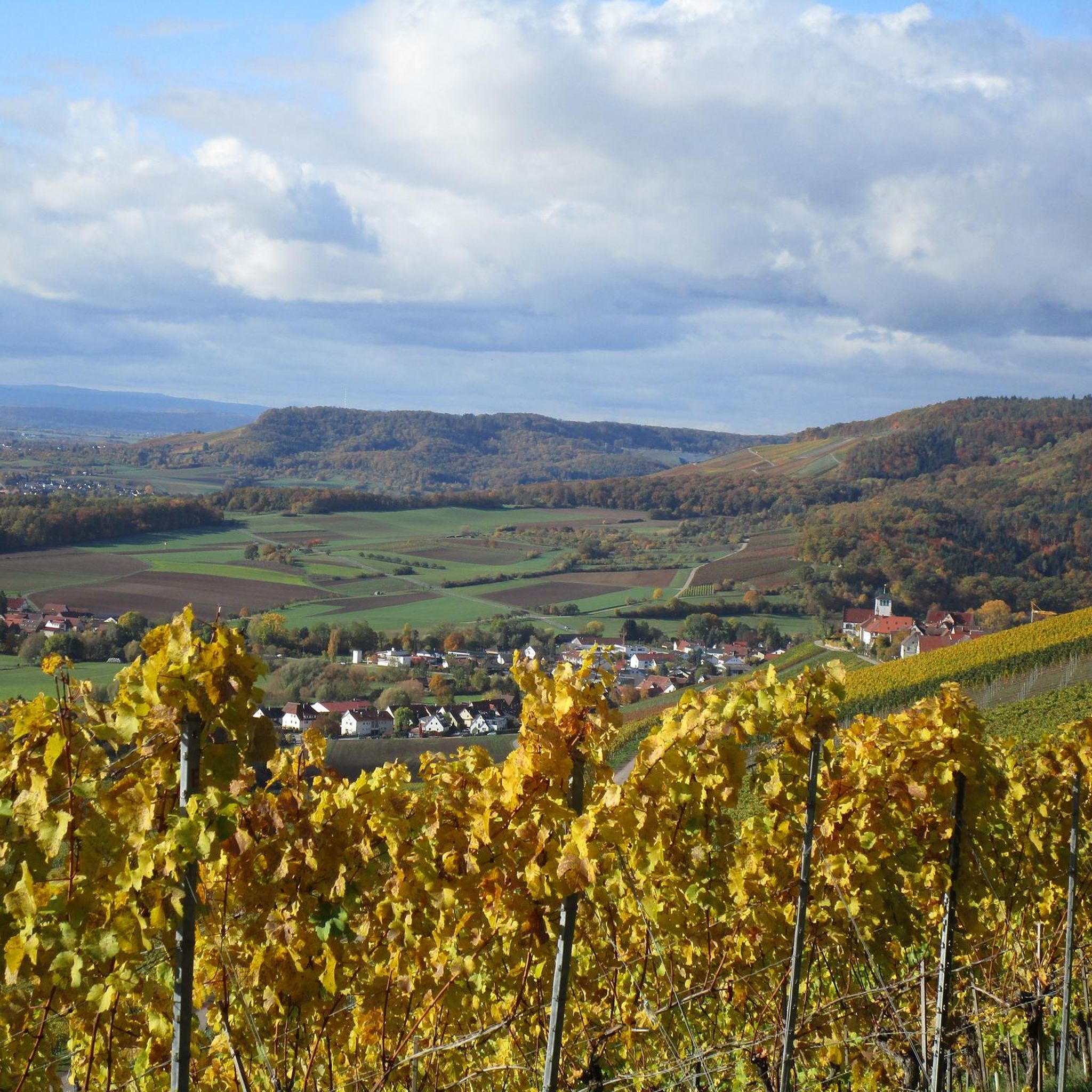
Road Cycling Routes around Freudental
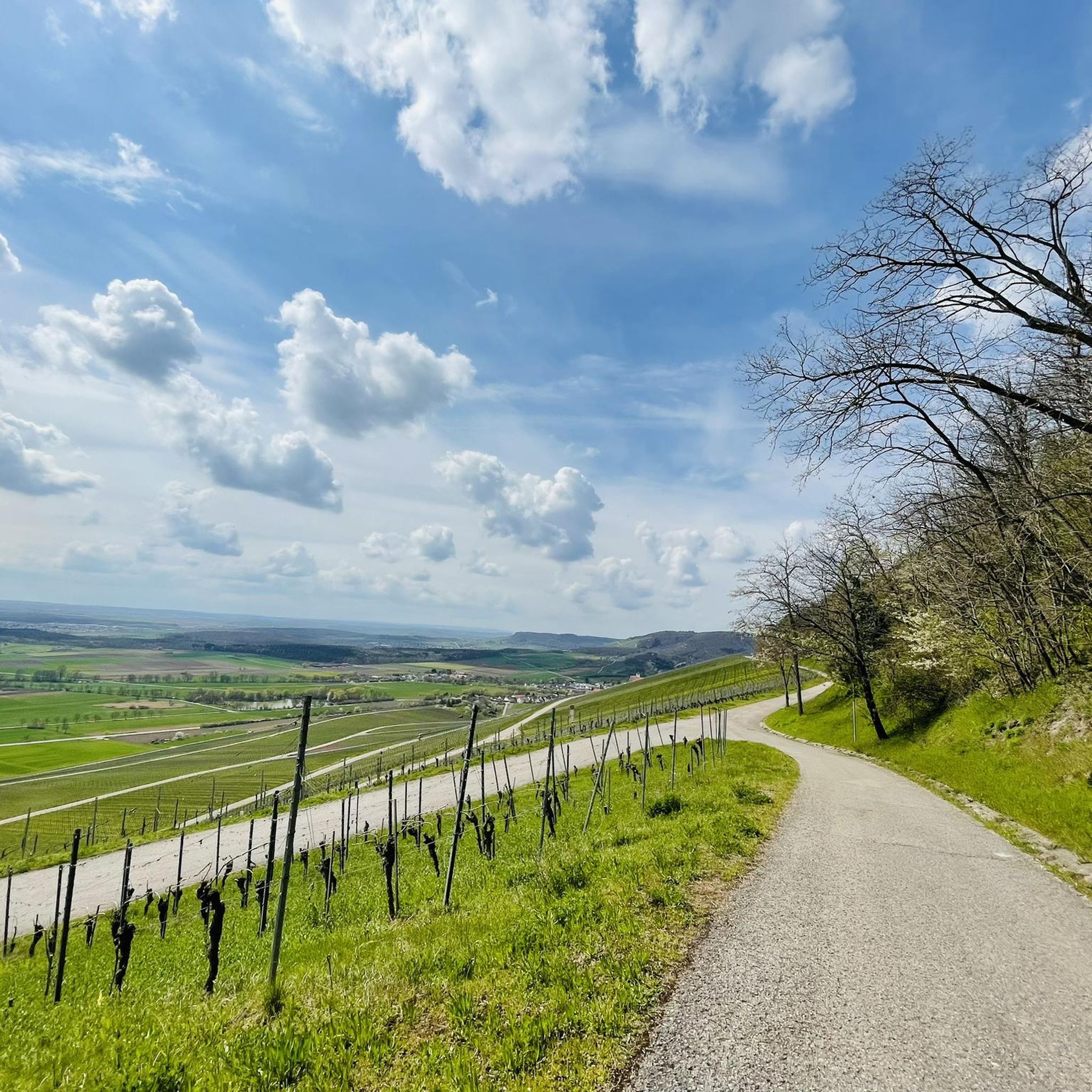
Running Trails around Freudental
Cycling around Freudental
Other adventures around Freudental

Tips from the Community

The Bannhalde is a 417 m high, wooded summit of the Stromberg, a ridge in the Stromberg-Heuchelberg Nature Park, which extends between Bretten in the west and the Neckar in the east. It rises above Sternenfels and houses the Stromberg operational site of the Lake Constance Water Supply Association and a mobile phone transmission mast. Only a few meters away, the K 4514 crosses its highest point. Quelle: https://www.quaeldich.de/paesse/bannhalde/
0
0

Sausteil, best ridden with an MTB
0
0

A new cycle and pedestrian bridge now leads across the Enz with a view of the weir.
5
1

From the Schlossbergturm, you have a panoramic view over large parts of Northern Baden and Northern Wuerttemberg. Depending on the weather and visibility, you can recognize, among other things: To the west: the Rhine plain and, in very clear conditions, the Vosges mountains in France. To the southwest: the Northern Black Forest. To the south: the Stromberg, whose highest elevation is the Baiselsberg. To the east: the hilly landscape of the Kraichgau and towards the Heckengäu. To the north: the Odenwald forest, but only with exceptionally good long-distance visibility. On particularly clear days, the visibility extends up to 70–100 km. Therefore, the tower is a popular viewpoint for photographers and hikers. Tip: The best long-distance visibility is often in the morning after a cold front or on dry autumn and winter days when the air is particularly clear.
1
0

Great cycle path along the Neckar River. Idyllic and peaceful.
1
0

The hill break is the official rest stop for road and gravel cyclists. Birdy’s Wirtshaus offers a suitable bike rack that puts no strain on the spokes or wheels, as well as a free lock to borrow – arrive relaxed, take a short breather, and continue your ride.
0
0

View of the houses of Löchgau
0
0
Most beautiful wine view 2012 Baden-Württemberg
0
0
Frequently Asked Questions
What kind of terrain can I expect when gravel biking around Freudental?
Freudental, nestled in the "Land of 1,000 Hills" within the Stromberg region, offers a diverse mix of terrain. You'll encounter forest tracks, vineyard trails, and rolling hills, providing varied elevations suitable for gravel bikes. The routes feature both paved and unpaved surfaces, making it ideal for versatile gravel cycling.
How many gravel bike trails are available in the Freudental area?
There are over 150 gravel bike trails around Freudental, offering a wide range of options for different skill levels and preferences. This includes 8 easy routes, 75 moderate routes, and 71 difficult routes, ensuring there's something for every gravel biker.
Are there any family-friendly gravel bike routes near Freudental?
Yes, Freudental offers several routes suitable for families. While specific 'easy' routes are available, a good option to consider is the View of Erligheim and surroundings – Hill Pass "Hohe Reute" loop from Erligheim. This moderate 17.9 km route provides scenic views without being overly strenuous, making it enjoyable for a family outing.
What are some scenic viewpoints or natural features I might encounter on the trails?
The region is rich in scenic spots. You can find stunning views from various peaks and passes. For example, the Michaelsberg, Cleebronn and Baiselsberg — Highest Point in the Stromberg offer panoramic vistas. You might also encounter the unique geological features of the Hessigheimer Felsengärten in the wider vicinity, or enjoy reservoir views on routes like the Katzenbachsee – Ehmetsklinge Reservoir loop from Bönnigheim.
Are there any challenging gravel bike routes for experienced riders?
Absolutely. For experienced riders seeking a challenge, Freudental offers several difficult routes with significant elevation changes. A notable option is the Lake Kraich – Derdinger Horn Barbecue Area loop from Bönnigheim, a 52.9 km route with substantial climbs. Another demanding ride is the Michaelsberg Picnic Area – Krummes Steigle loop from Bönnigheim, which covers 41.1 km with varied terrain and elevation.
What do other gravel bikers say about the trails in Freudental?
The gravel biking routes around Freudental are highly regarded by the komoot community, with an impressive average rating of 4.7 stars from over 160 reviews. Over 1100 gravel bikers have explored the area using komoot, often praising the diverse landscapes, well-maintained paths, and the rewarding mix of forest tracks and vineyard trails.
Can I find circular gravel routes in Freudental?
Yes, many of the gravel routes in Freudental are designed as loops, allowing you to start and end at the same point. For instance, the Katzenbachsee – Ehmetsklinge Reservoir loop from Bönnigheim is a popular circular route, offering a convenient and scenic ride.
Are there any specific mountain passes or climbs to look out for?
The region features several mountain passes and climbs that add to the challenge and scenery of gravel biking. You can find highlights such as the Hill Pass "Hohe Reute", the Hohenhaslach–Güglingen Climb, and the Gündelbacher Steige hill pass. These offer rewarding ascents and often lead to great views.
What is the best time of year to go gravel biking in Freudental?
The "Land of 1,000 Hills" is beautiful year-round, but spring and autumn generally offer the most pleasant conditions for gravel biking in Freudental. During these seasons, the weather is typically mild, and the natural landscapes, from blooming vineyards to colorful forests, are at their most vibrant. Summer can also be great, especially in the cooler forest sections, while winter rides are possible but may require more preparation for potentially muddy or icy conditions.
Are there any long-distance gravel routes for extended rides?
Yes, if you're looking for longer rides, Freudental has options that will keep you on the saddle for several hours. The Baiselsberg tour in the Kraichgau-Stromberg region is a challenging 49.7 km route that takes over 4 hours to complete, winding through extensive landscapes.
What kind of natural parks or protected areas can I explore?
Freudental is located within or very close to the Naturpark Stromberg-Heuchelberg, which provides access to extensive protected natural areas. This means you can enjoy tranquil forest tracks and diverse natural environments, making for a truly immersive gravel biking experience.
Most popular routes around Freudental
Most popular attractions around Freudental

Get inspired with the komoot mobile app


Explore more
Browse the best Gravel rides in other regions.
