The best gravel rides around Axstedt
4.8
(9)
43
riders
20
rides
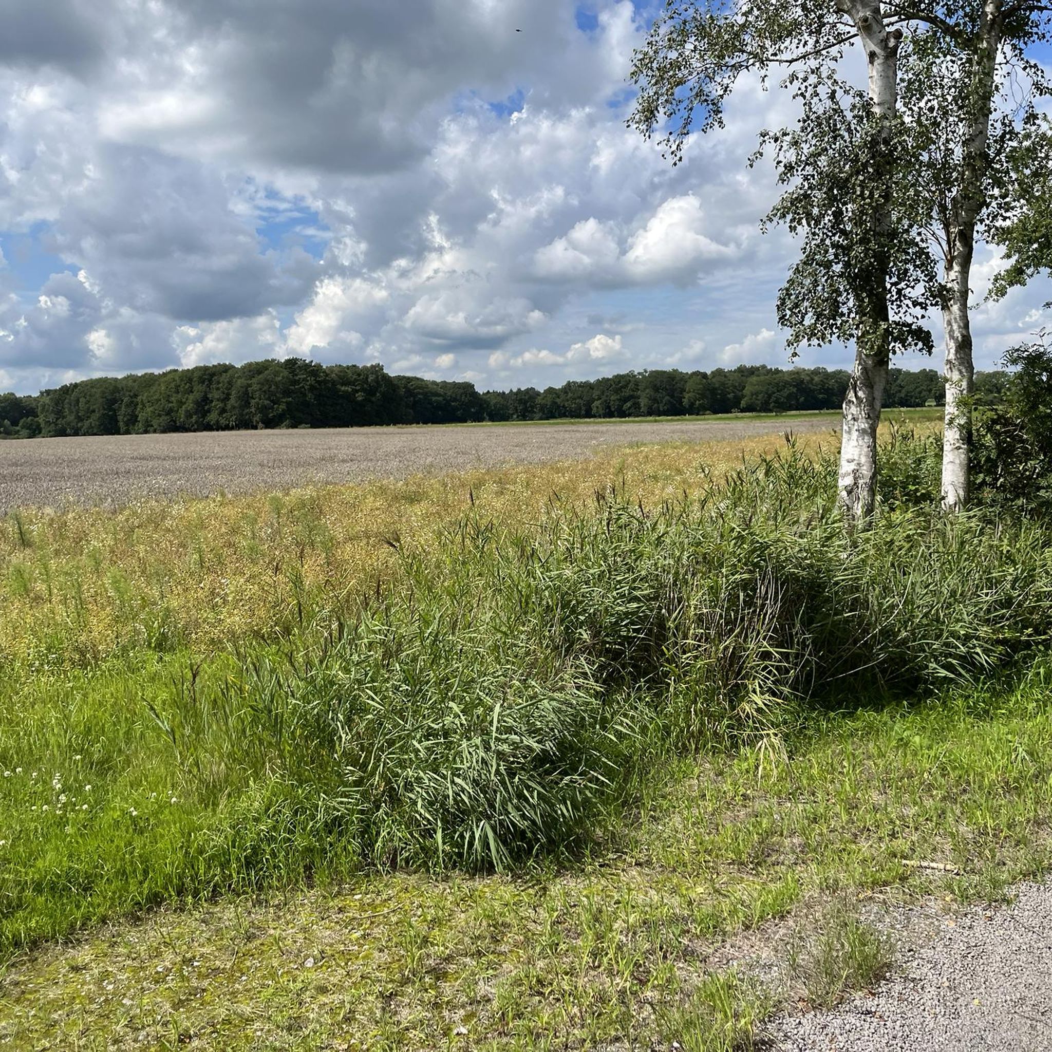
Gravel biking around Axstedt offers diverse landscapes in Lower Saxony, characterized by expansive moors, forests, and wetlands. The region features varied terrain, including tranquil moorland and birch swamp forests, providing a dynamic and scenic riding experience. The area's topography includes minimal elevation changes, making it accessible for various skill levels. These natural environments provide a mix of solid paths and more challenging sections.
Best gravel bike trails around Axstedt
- The most popular gravel bike trail is Wet Birch Forest Wetland…
Last updated: October 6, 2026
5.0
(1)
4
riders
39.7km
02:24
100m
100m
Moderate gravel ride. Good fitness required. Mostly paved surfaces. Suitable for all skill levels.
5.0
(2)
7
riders
Easy gravel ride. Great for any fitness level. Mostly paved surfaces. Suitable for all skill levels.

3
riders
56.0km
03:32
160m
160m
Moderate gravel ride. Good fitness required. Mostly paved surfaces. Suitable for all skill levels.
4.0
(1)
2
riders
21.5km
01:24
50m
50m
Easy gravel ride. Great for any fitness level. Mostly paved surfaces. Suitable for all skill levels.
5.0
(3)
5
riders
31.5km
01:49
90m
90m
Easy gravel ride. Great for any fitness level. Mostly paved surfaces. Suitable for all skill levels.
Get access to more routes and recommendations from other explorers.
Already have an account?
Our route recommendations are based on thousands of hikes, rides, and runs completed by other people on komoot.
Start today with a free account
Your next adventure awaits.
Tips from the Community

This is one of the many radar towers along the Weser waterway. This way, the control center in Bremerhaven always has a complete overview of ship traffic and can advise the ships' pilots. Full of technology and of course NOT to be climbed.
0
0


The 17-meter-high lower light consists of a white steel tube with a red pyramid-shaped roof. It stands directly on the Weser bank on the beach at Sandstedt. The 35-meter-high upper light stands 420 meters inland behind the dike and consists of a red-and-white striped steel tube.
0
0
The 58-meter-high radar tower is a popular tourist destination on the Weser River between Bremen and Bremerhaven. Built in 1978, it monitors shipping traffic. The radar station, along with seven other stations, forms a land-based radar network for the Weser River.
0
0

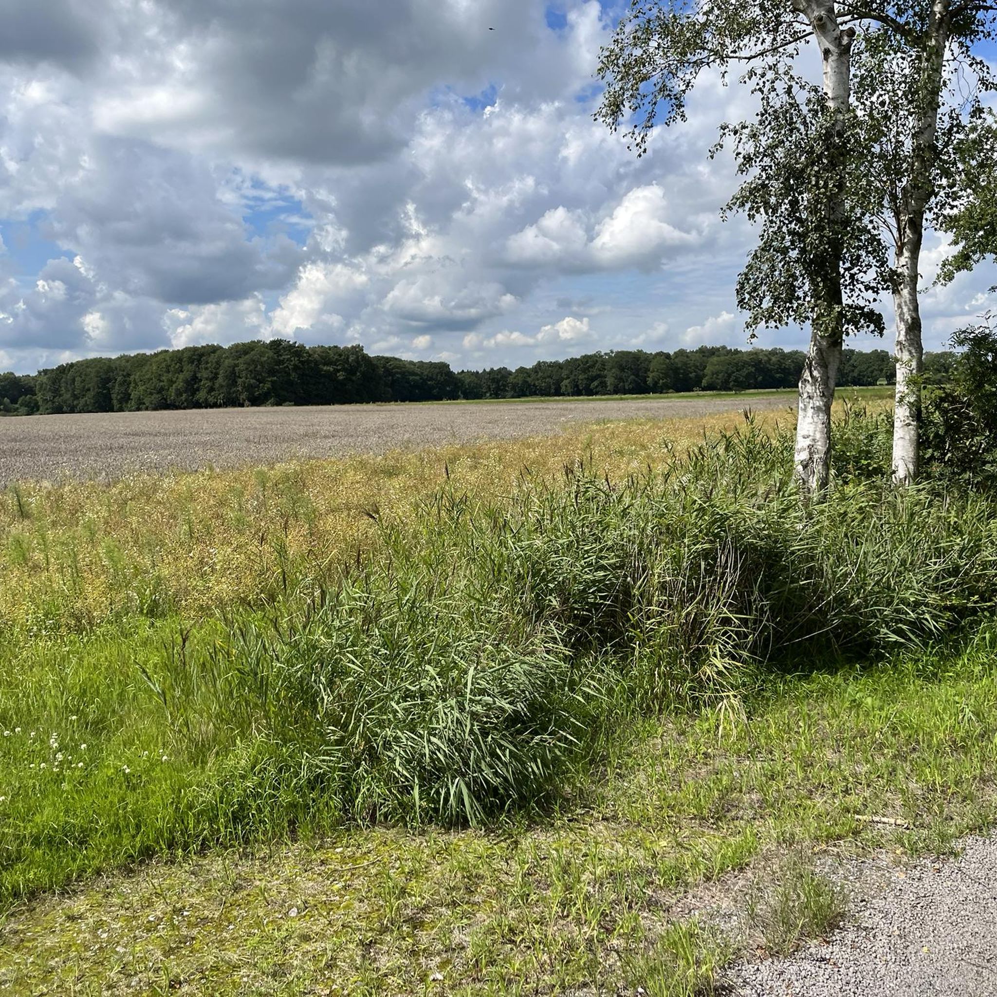
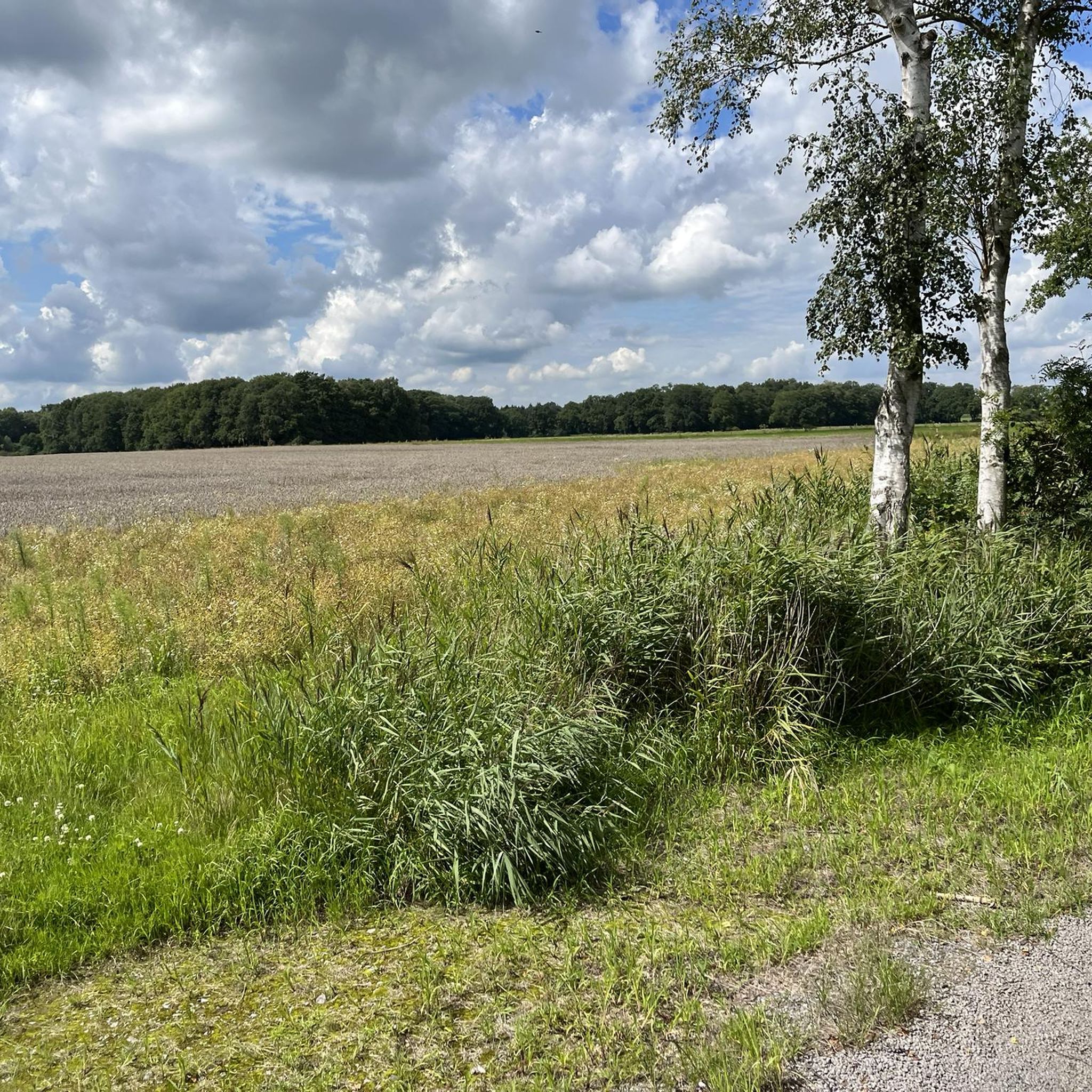
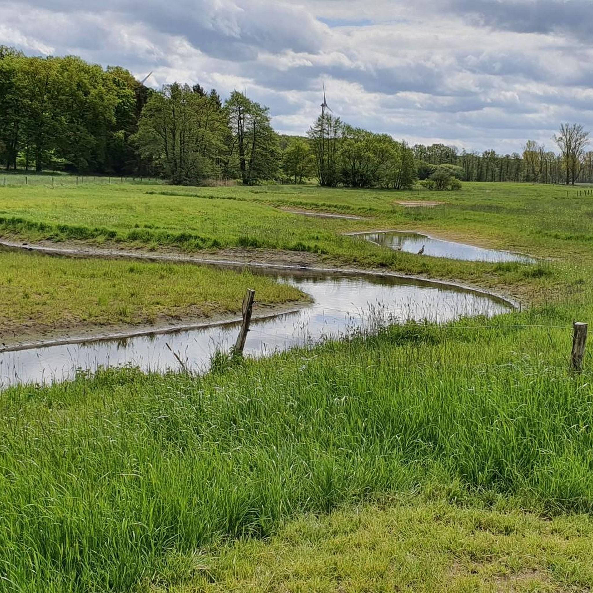
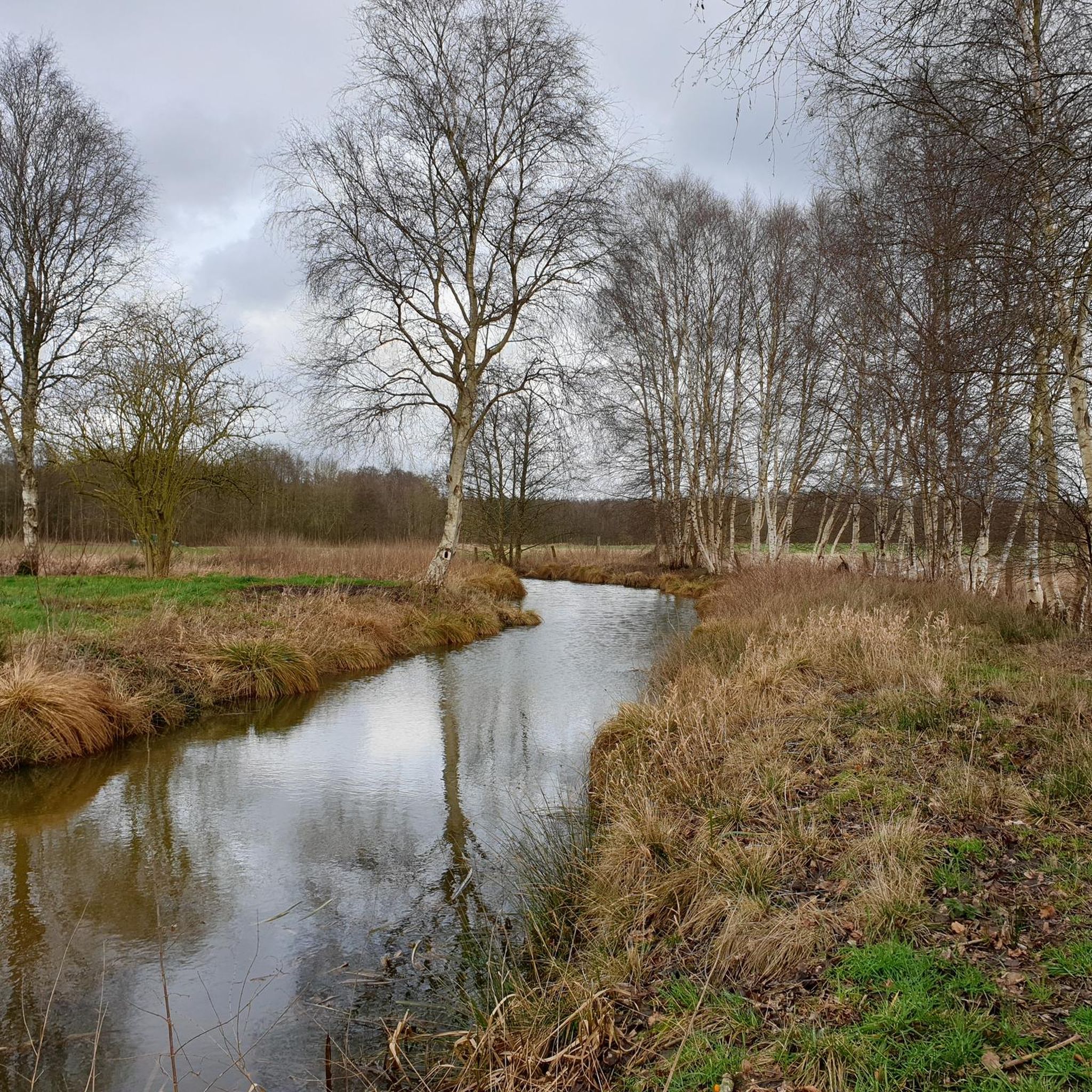
This is truly a nature experience
0
0

Take a break with a beautiful view of the floodplain. Or simply relax, breathe deeply, and enjoy the silence.
0
0

Few potholes and therefore easy to drive.
0
0

Opening hours: Weekends from 2pm - 6pm
0
0
Frequently Asked Questions
How many gravel bike trails are available around Axstedt?
There are over 40 gravel bike trails around Axstedt, offering a wide range of options for different skill levels. You'll find routes varying from easy, short rides to more challenging, longer excursions through the diverse landscapes of Lower Saxony.
Are there easy gravel bike trails suitable for beginners in Axstedt?
Yes, Axstedt offers several easy gravel bike trails perfect for beginners or those looking for a relaxed ride. For example, the Gut Wittenborgh – Hagen loop from Hagen im Bremischen is an easy route that provides a pleasant experience with minimal elevation gain.
What kind of terrain can I expect on gravel bike trails in the Axstedt region?
The Axstedt region is characterized by diverse terrain, including expansive moors, forests, and wetlands. You can expect a mix of solid paths, gravel tracks, and potentially some softer sections, especially within nature reserves like the Heilsmoor. The topography generally features minimal elevation changes, making it accessible for various skill levels.
Are there any family-friendly gravel biking routes in Axstedt?
Many of the easier and moderate routes around Axstedt are suitable for families, especially those with minimal elevation and well-maintained paths. The region's flat terrain and scenic natural areas provide a great environment for family outings. Always check the route details for specific difficulty and length to ensure it matches your family's capabilities.
Can I bring my dog on the gravel bike trails around Axstedt?
Generally, dogs are welcome on most public trails in the Axstedt region, especially on gravel paths through forests and open landscapes. However, when cycling through nature reserves like the Heilsmoor, it's crucial to keep dogs on a leash to protect wildlife and sensitive ecosystems. Always be mindful of local regulations and other trail users.
What are some notable natural attractions or landmarks along the gravel bike routes?
The region offers several interesting natural attractions. You can explore the tranquil moorland of the Heilsmoor Nature Reserve, which features unique raised bog vegetation and diverse ecosystems. Along the trails, you might encounter the Heilsmoor Nature Reserve Information Board, providing insights into the area, or the picturesque Moor Lake with Wildlife Observation Hut.
Are there any circular gravel bike routes in the Axstedt area?
Yes, many of the gravel bike routes around Axstedt are designed as loops, allowing you to start and end at the same point. A popular example is the Sandstedt Marina – Hagen loop from Hagen im Bremischen, which offers a scenic circular ride through open landscapes and rural scenery.
What is the best time of year for gravel biking in Axstedt?
The best time for gravel biking in Axstedt is typically from spring to autumn (April to October). During these months, the weather is generally mild, and the trails are in good condition. Spring brings blooming nature, while autumn offers beautiful foliage. Winter rides are possible but can be challenging due to colder temperatures and potentially muddy or icy conditions, especially in moorland areas.
Where can I find parking for gravel biking trails in Axstedt?
Parking is generally available at various starting points for the gravel bike trails around Axstedt. Many routes begin near villages or designated recreational areas where public parking facilities can be found. For specific routes, checking the komoot tour details will often provide information on recommended starting points and parking options.
Can I reach the gravel bike trails using public transport with my bike?
Public transport options in the Axstedt region, particularly regional trains and buses, often allow for bicycle transport, though specific rules and peak hour restrictions may apply. It's advisable to check the local transport provider's website for current regulations and to confirm bike carriage availability before planning your trip.
Are there cafes or pubs near the gravel bike trails for a break?
Yes, you'll find local amenities such as cafes and pubs in the villages and towns surrounding the gravel bike trails. For a delightful refreshment, consider stopping at Tanjas Melkhus – Eis- und Milchladen, known for its homemade ice cream and cake, which can be a perfect break during a ride.
What do other gravel bikers enjoy most about gravel biking in Axstedt?
The area is highly rated by the komoot community, with an average score of 4.8 stars. Reviewers often praise the diverse landscapes, including the tranquil moorland and forests, and the variety of routes suitable for different skill levels. The scenic beauty and peaceful atmosphere are frequently highlighted as key attractions.
Most popular attractions around Axstedt

Get inspired with the komoot mobile app


Explore more
Browse the best Gravel rides in other regions.
