The best gravel rides around Langweiler Wald
4.5
(32)
157
riders
24
rides
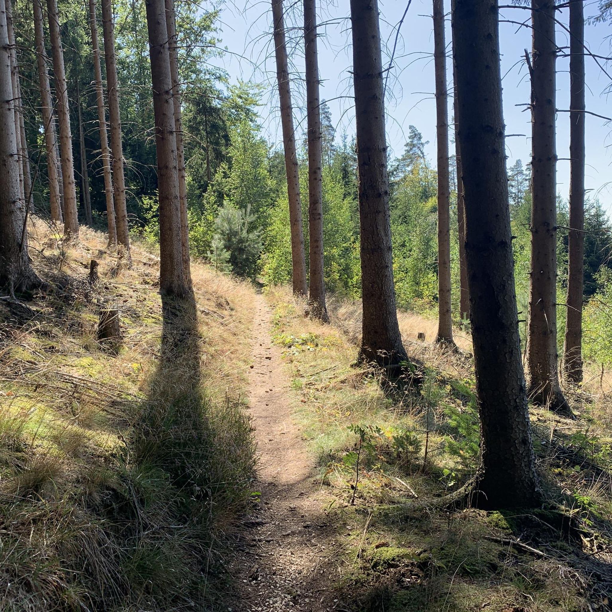
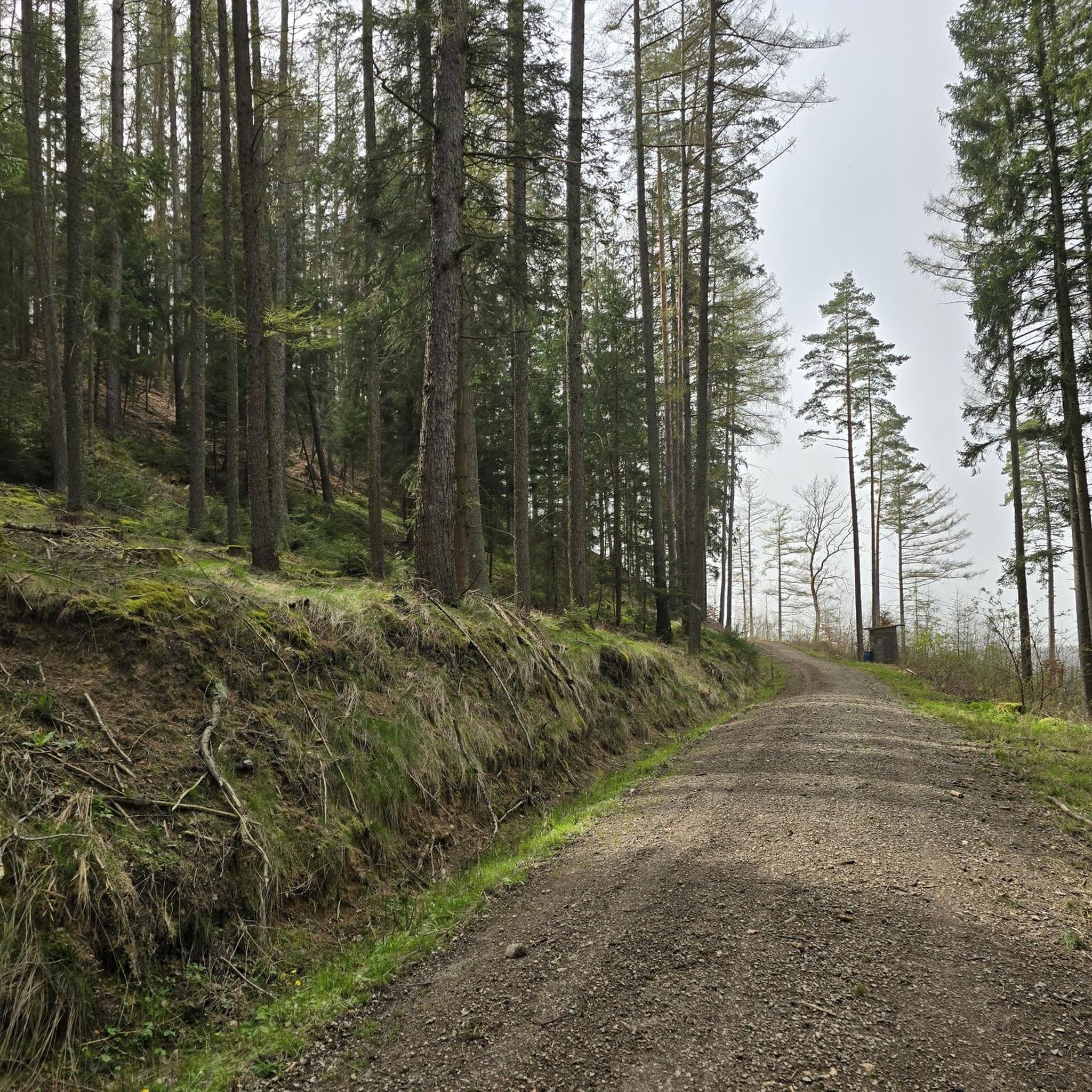
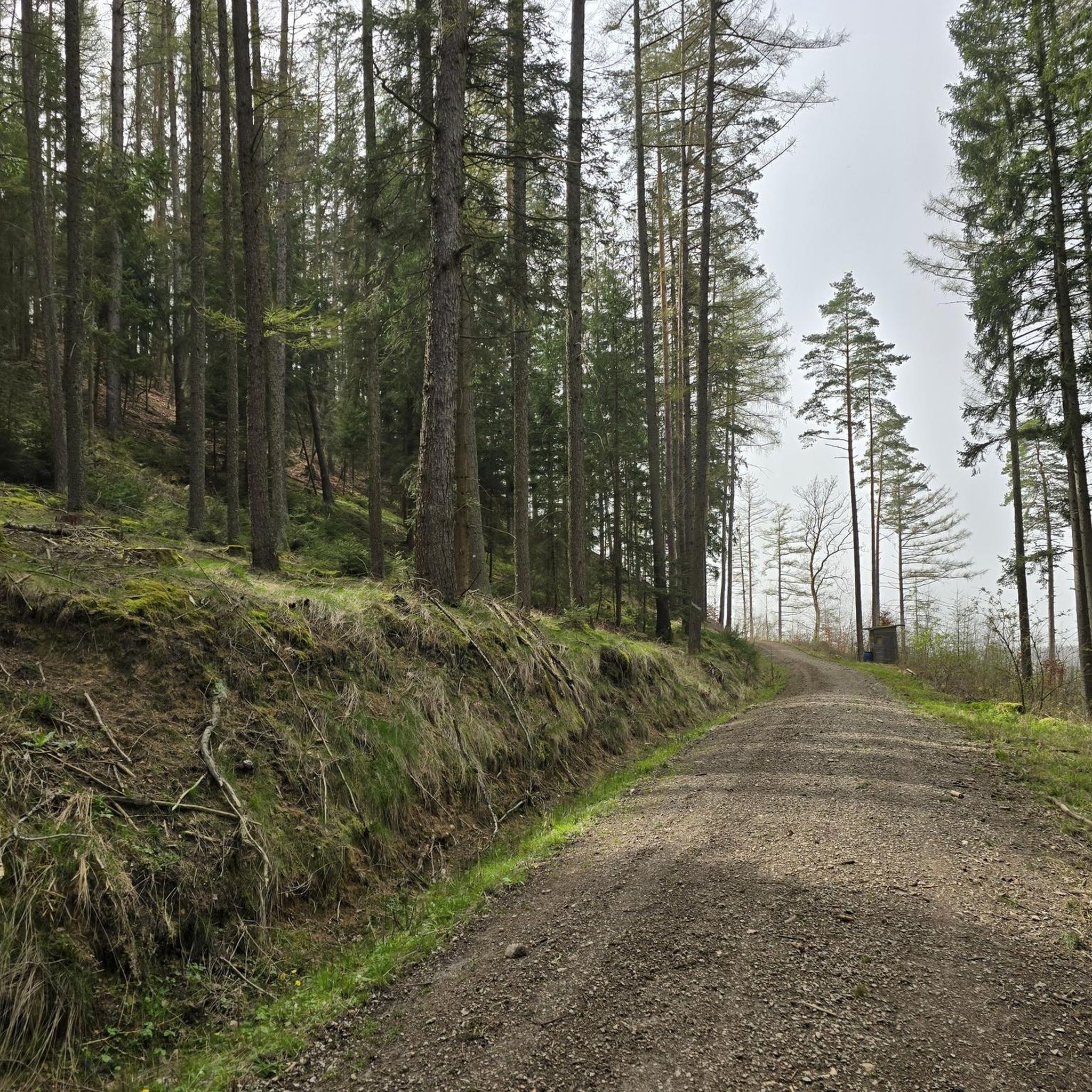
Gravel biking around Langweiler Wald offers a diverse landscape in Upper Franconia, Bavaria, Germany. This densely forested area, situated at approximately 452 meters altitude, provides a scenic environment for cycling. The region, encompassing parts of Franconian Switzerland and Franconian Jura, features varied terrain including solid paths, unpaved segments, and extensive field and forest trails. These characteristics make it suitable for gravel bikes, which are designed for both paved and rugged routes.
Best gravel bike trails around Langweiler Wald
- The most…
Last updated: October 6, 2026
4.8
(5)
31
riders
41.7km
02:36
350m
350m
Hard gravel ride. Good fitness required. You may need to push your bike for some segments of this route.
4.5
(4)
15
riders
28.8km
02:04
320m
320m
Moderate gravel ride. Good fitness required. Mostly paved surfaces. Suitable for all skill levels.

4.4
(5)
20
riders
46.2km
02:47
430m
430m
Moderate gravel ride. Good fitness required. Mostly paved surfaces. Suitable for all skill levels.
3.0
(1)
8
riders
Hard gravel ride. Very good fitness required. Mostly paved surfaces. Suitable for all skill levels.
5
riders
Hard gravel ride. Very good fitness required. You may need to push your bike for some segments of this route.
Get access to more routes and recommendations from other explorers.
Already have an account?
Our route recommendations are based on thousands of hikes, rides, and runs completed by other people on komoot.
Start today with a free account
Your next adventure awaits.
Tips from the Community

Anyone who follows the Wiesent downstream from the historic Eichenmühle mill experiences one of the most untouched and picturesque sections of the entire valley. This section of the trail combines spectacular geology, centuries-old cultural history, and a vibrant river ecosystem in a confined space and is best explored on foot or by bike on the paved, natural farm track. The adventure begins directly below the old mill property at the Truppach confluence. Here, the upper Wiesent valley celebrates a small, quiet river spectacle when the Truppach, coming from the direction of Obernsees, joins from the left. Framed by dense alder stands and willows, the confluence area has an almost enchanted atmosphere. Looking back from the small Truppach bridge, you are offered a fantastic panorama: in the foreground, the water merges, while in the background, the historic half-timbered mill and the imposing dolomite walls rise up. Continuing along the river course in the shade of these mighty, bright rock formations, you reach the historic river weir on the Wiesent. Where the water now gently babbles over the barrier, the economic heart of the valley once beat. For centuries, the weir regulated the water level for the so-called "Wässerwiesen" – a sophisticated irrigation system that is now a UNESCO World Heritage site. At the same time, the facility was used for fishing, which is reflected in the name of the subsequent hamlet, Aalkorb. The designation, over a thousand years old, goes back to wooden fish traps that were hung in the flowing Wiesent at precisely these weirs. Today, the former barrier has been ecologically redesigned so that rare fish species such as the brown trout can once again easily pass the obstacle on their migrations. Behind the weir, the valley widens slightly, and the path leads along striking, vertical climbing rocks directly into the elongated district of Waischenfeld, Nankendorf. Here, the Wiesent flows quietly and peacefully through the village, past old willows, and invites you to stop for a well-deserved refreshment after an eventful passage through nature.
4
0


A broad, wide valley with a gently hilly landscape.
0
0

The cycle path between Hollfeld and Stechendorf is officially known as the Franconian Switzerland High Trail. The path follows the former railway line between Bayreuth and Hollfeld, which was closed in 1974. Thanks to the use of the old railway line, the route is largely flat and gently sloping. From Hollfeld, the path leads along the Wiesent Valley towards Stechendorf and on to Bayreuth. It is often also referred to as a leisure cycle path or a railway line path.
2
0


great rest area with a view of the Aufseßtal
0
1
at the Adalbert Hollfelder rest area
0
1
Frequently Asked Questions
How many gravel bike trails are available in the Langweiler Wald area?
There are over 35 gravel bike trails around Langweiler Wald. These routes offer a mix of moderate and difficult options, catering to various skill levels.
What kind of terrain can I expect on the gravel bike trails around Langweiler Wald?
The terrain around Langweiler Wald is diverse, featuring solid paths, unpaved segments, and extensive field and forest trails. You'll encounter rolling hills and wooded expanses, characteristic of the Franconian Switzerland and Franconian Jura regions.
Are there any easy gravel bike trails for beginners in Langweiler Wald?
The gravel bike trails in Langweiler Wald are generally rated as moderate to difficult. There are no routes specifically categorized as easy, so riders should be prepared for some challenging sections.
What are some notable natural attractions I can see while gravel biking in the region?
The area boasts several impressive natural formations. You can explore the dramatic Riesenburg Collapse Cave, or marvel at the unique Tüchersfeld Rock Formations and Half‑Timbered Village. The Devil’s Hole Waterfalls and the scenic Upper Püttlach Valley also offer beautiful sights.
Are there any historical landmarks or castles along the gravel routes?
Yes, the region is rich in history. You can pass by the charming Pottenstein — Old Town and Castle, or discover the impressive Rabenstein Castle. Another notable landmark is Pottenstein Castle.
What do other gravel bikers enjoy most about the trails in Langweiler Wald?
The komoot community highly rates the gravel biking experience in Langweiler Wald, with an average score of 4.6 stars. Riders often praise the diverse terrain, the quiet woodlands, and the scenic beauty of the Franconian Switzerland and Franconian Jura landscapes.
Are there any circular gravel bike routes available?
Yes, many of the routes are designed as loops. For example, the Rabenstein Castle – Sophien Cave loop from Waischenfeld is a moderate 9.9 km route that offers a circular experience.
What is the best time of year for gravel biking in Langweiler Wald?
The region's varied terrain and forested environment make it enjoyable for gravel biking throughout much of the year. Spring and autumn offer pleasant temperatures and beautiful scenery, while summer provides shaded routes through the dense woodlands. Winter conditions may vary, so checking local weather is advisable.
Are there any gravel routes that offer views of rock formations?
Absolutely. The region is known for its unique geological features. The View of Taschnerfelsen – Aufseß Castle Church loop from Obernsees is a difficult 47 km route that provides scenic views, including rock formations like Taschnerfelsen.
Can I find routes that combine natural beauty with historical sites?
Yes, many routes in the area offer a blend of natural landscapes and historical points of interest. The View of Taschnerfelsen – Greifenstein Castle loop from Plankenfels is a difficult 39.1 km route that allows you to experience both scenic views and a historic castle.
Are there any routes that follow river valleys?
Yes, the region features beautiful river valleys perfect for gravel biking. The Aufseßtal Valley – Wiesent Riverside Trail loop from Waischenfeld is a moderate 41.3 km trail that follows a picturesque valley and riverside path.
Most popular routes around Langweiler Wald
Most popular attractions around Langweiler Wald

Get inspired with the komoot mobile app


Explore more
Browse the best Gravel rides in other regions.
