The best MTB trails around Langweiler Wald
4.5
(1092)
3,482
riders
335
rides
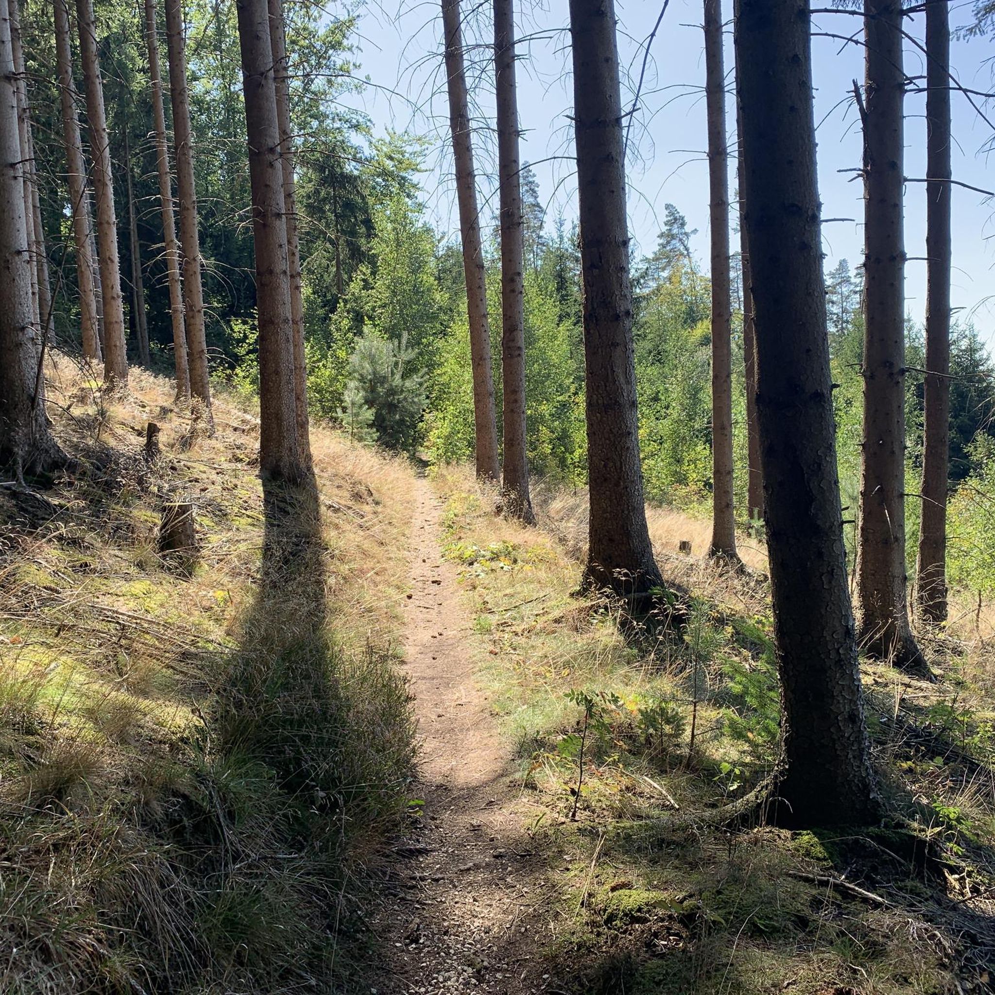
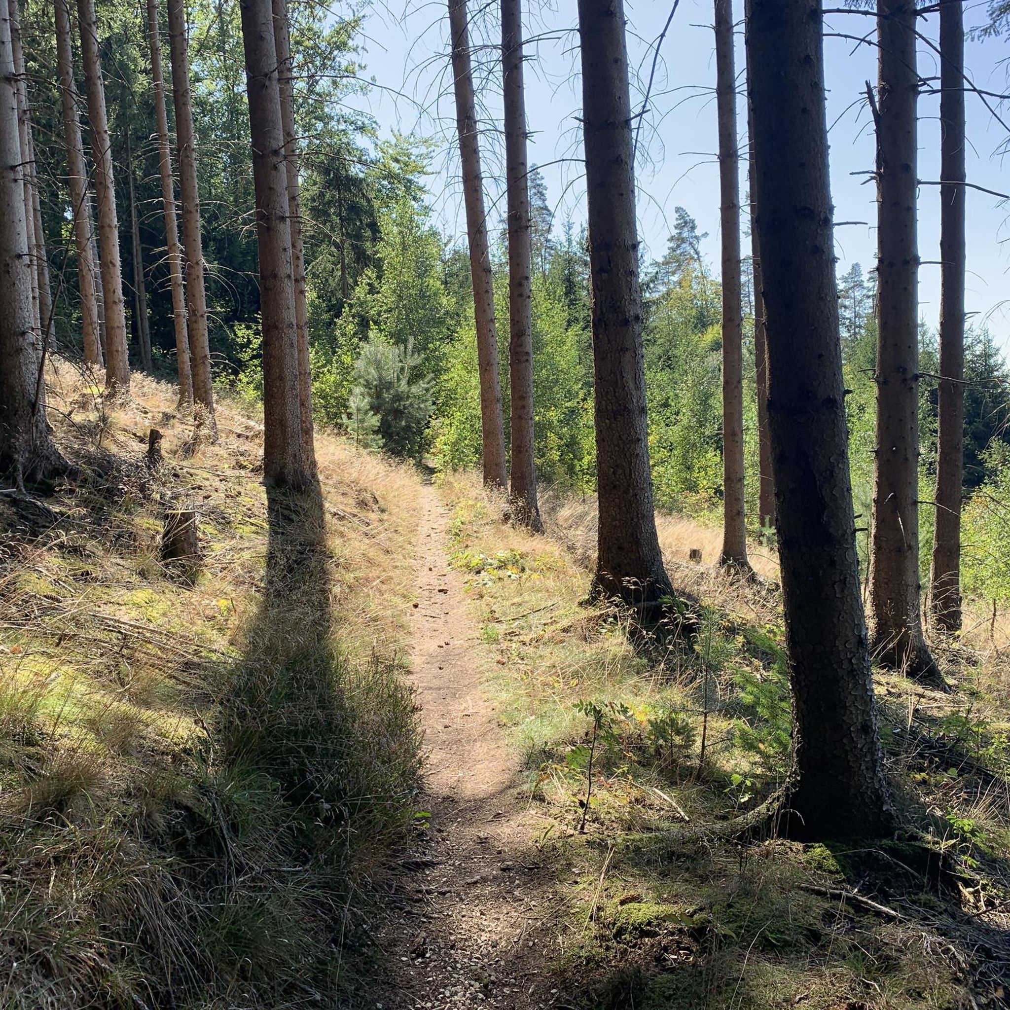
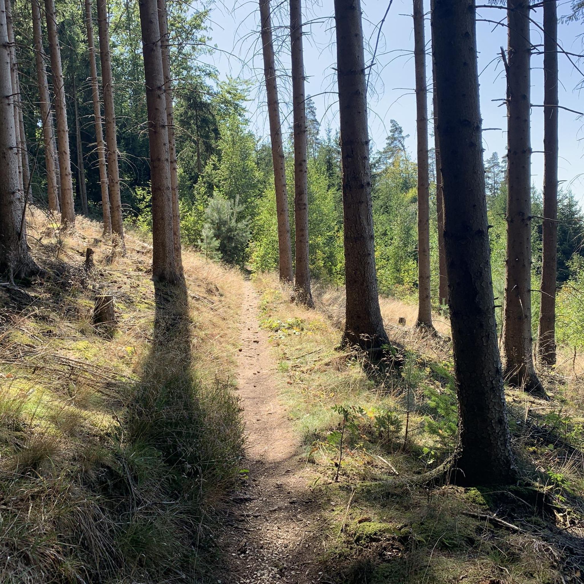
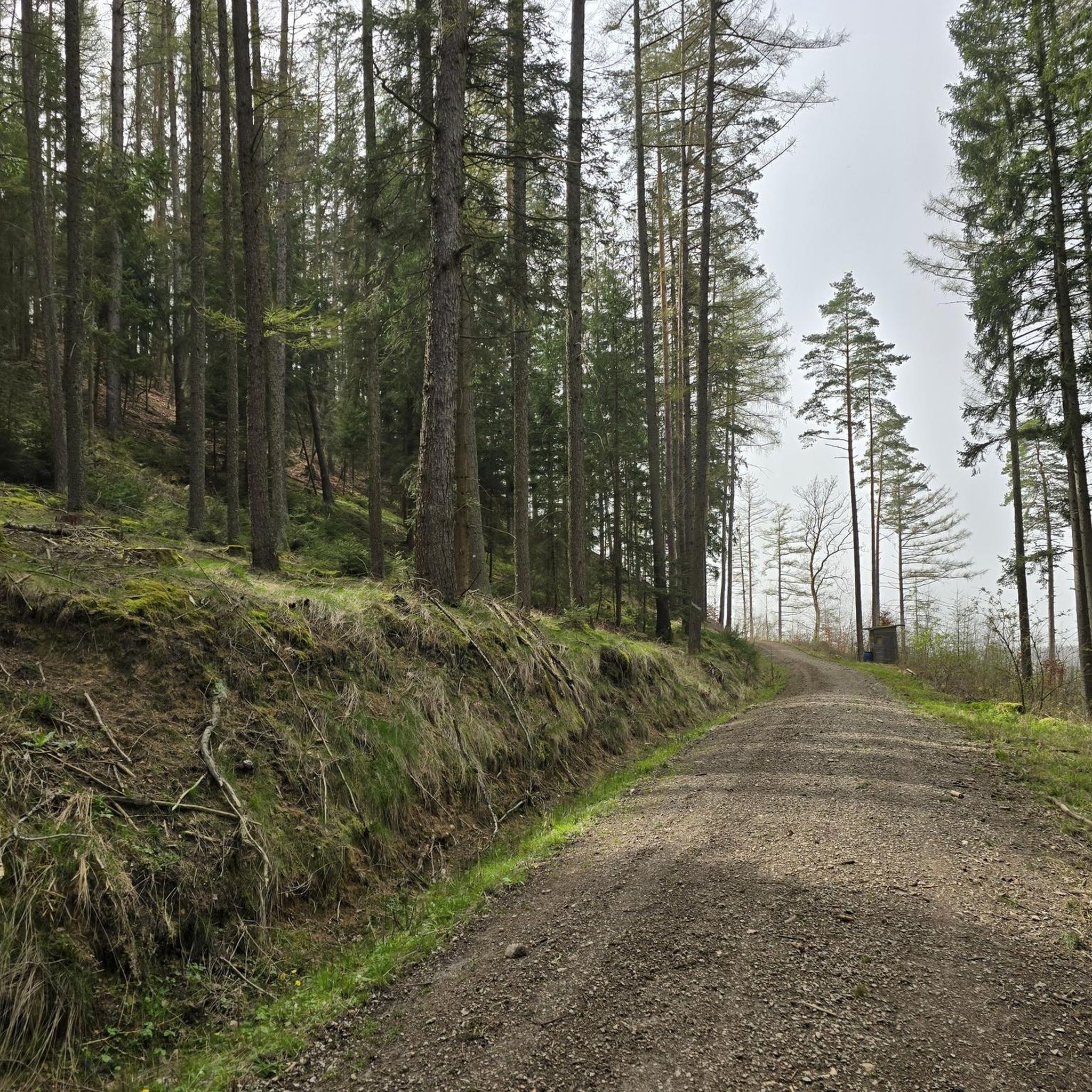
Mountain biking around Langweiler Wald offers diverse routes through an entirely wooded state forest in Upper Franconia, Germany. The region is characterized by extensive woodlands and notable geological formations, including impressive rock formations and valleys carved by rivers. This varied landscape provides a range of terrain suitable for mountain biking. The area's natural features contribute to a dynamic outdoor experience for riders.
Best mountain bike trails around Langweiler Wald
- The most popular mountain bike trail is Oberwaizer Höhe viewpoint –…
Last updated: October 1, 2026
4.5
(16)
58
riders
40.2km
02:28
300m
300m
Moderate mountain bike ride. Good fitness required. Advanced riding skills necessary.
4.6
(15)
38
riders
56.9km
04:35
920m
920m
Hard mountain bike ride. Very good fitness required. Advanced riding skills necessary.

4.1
(53)
51
riders
34.6km
01:59
230m
230m
Moderate mountain bike ride. Great for any fitness level. Advanced riding skills necessary.
4.9
(7)
16
riders
21.0km
01:41
290m
290m
Moderate mountain bike ride. Great for any fitness level. Advanced riding skills necessary.
4.3
(4)
13
riders
65.9km
04:40
730m
730m
Moderate mountain bike ride. Good fitness required. Advanced riding skills necessary.
Get access to more routes and recommendations from other explorers.
Already have an account?
Our route recommendations are based on thousands of hikes, rides, and runs completed by other people on komoot.
Start today with a free account
Your next adventure awaits.
Tips from the Community

A hidden natural gem awaits explorers just a few steps below the historic oak mill in Plankenfels. Here, Franconian Switzerland celebrates a small, quiet river spectacle: the Truppach, coming from Obernsees, flows into the clear waters of the Wiesent from the left. Directly opposite the hamlet of Kaupersberg, perched on the slope, the two bodies of water merge, forming a wonderfully untouched river valley. Framed by dense alder forests and the mighty, bright rocks of the Eichenmühler Wände, this place exudes an almost magical tranquility. For hikers and cyclists, the section of the path around the confluence is one of the most beautiful routes in the region. The idyllic path leads directly along the riverbank and connects Plankenfels with Nankendorf on gentle trails. Anyone who crosses the small bridge over the Truppach should definitely pause for a moment: the quiet splashing of the confluence and the view of the wildlife on the riverbank make the Truppach estuary a perfect spot for a short break in the green.
3
0
Anyone looking for the characteristic natural beauty and deep-rooted history of the Franconian Switzerland will find a particularly impressive ensemble at the foot of the Hirtenberg near Plankenfels. Here, on the picturesque upper reaches of the Wiesent, lies the historic Eichenmühle. The historically protected isolated farmstead looks back on a centuries-old tradition as a grist and saw mill and is now a significant regional monument under protection. The historic estate is now privately owned and the idyllic courtyard is closed to through traffic, but this does not detract from the experience: From the nearby river bridge, visitors are offered one of the most famous and beautiful postcard motifs of the Wiesent Valley. Directly behind the venerable mill buildings, the imposing Eichenmühler Wände rise steeply into the sky. This mighty rock face of light Franconian dolomite – a typical mass limestone from the Jurassic period – forms a rugged, majestic backdrop. In calm weather and clear sunshine, the historic half-timbering of the mill and the white rock formations are perfectly reflected on the mirror-smooth water surface of the Wiesent. For active holidaymakers and mountaineers, the striking geotop is primarily known as a challenging climbing area in the Franconian Jura. Divided into the two sectors "Linke Wand" and "Rechter Turm", the rock offers varied routes. The narrow approach branches off shortly before the Plankenfels town sign (coming from the direction of Nankendorf). However, as the foot of the wall is very narrow, steep, and covered with scree, the area directly below the rocks is not suitable for families with children. Hikers and leisure cyclists will get their money's worth on the comfortable, asphalted valley path, which bypasses the mill and guarantees the safest and most impressive view of this fascinating interplay of man and nature.
3
0


Small spot to rest and catch your breath.
0
0
A broad, wide valley with a gently hilly landscape.
0
0

This is our recommendation for a stop. Delicious food and super friendly service. In summer, there's lovely seating in the beer garden.
0
0

It is pointless to speculate which of the numerous saints venerated in the Catholic (and partly also in the Protestant) Church holds the highest place in the hearts of children: Is it Saint Martin (Bishop of Tours), under whose venerable patronage this church is placed, who served as a soldier in the Roman army before his calling; and whose generous sharing of his cloak with the poor beggar is still commemorated today in lantern processions on his feast day (November 11). Or perhaps it is rather Saint Nicholas (Bishop of Myra), who, as is well known, bestows gifts upon good children during the Advent season on the eve of his feast day (December 6).
2
0
The present-day Baroque church of St. Martinus in Nankendorf was built between 1746 and 1748, and its 42-meter-high steeple towers over the small village. It is no longer possible to say with certainty how many church buildings stood in Nankendorf before this time. However, the parish of Nankendorf is one of the oldest in Upper Franconia and existed even before the founding of the Diocese of Bamberg in 1007. The patron saint of the parish church is St. Martin (Martinus). St. James was added as a second patron saint later. The highlight of the liturgical year is the "Perpetual Adoration" at the end of the year, followed by a candlelight procession. Bengal lights, wax candles, and wood fires illuminate the surrounding slopes and rocks. The houses are decorated with candles, and the waters of the Wiesent River are lit.
5
1
Frequently Asked Questions
What kind of terrain can I expect on mountain bike trails in Langweiler Wald?
Langweiler Wald is an entirely wooded state forest, so you can expect extensive forest trails. The region is also characterized by significant geological formations, including impressive rock formations and river valleys carved by the Püttlach river. This diverse landscape means trails can range from smooth forest paths to more technical sections near rocky outcrops, offering a dynamic riding experience.
What are the difficulty levels of mountain bike trails in Langweiler Wald?
The trails in Langweiler Wald cater to various skill levels. Out of over 350 routes, you'll find options for easy, moderate, and difficult rides. Specifically, there are 34 easy routes, 294 moderate routes, and 30 difficult routes, ensuring there's something for every mountain biker.
Are there any family-friendly mountain bike trails in Langweiler Wald?
Yes, there are family-friendly options available. While specific routes are not designated as 'family-only,' the 34 easy routes are generally suitable for families looking for a less strenuous ride. These trails typically feature gentler inclines and smoother surfaces, making them enjoyable for riders of all ages.
Can I find circular mountain bike routes in Langweiler Wald?
Many of the mountain bike routes in Langweiler Wald are designed as loops, allowing you to start and finish at the same point. For example, the Oberwaizer Höhe viewpoint – Zum Lausbub Beer Garden loop from Glashütten is a popular circular route that covers 24 km and includes a viewpoint and a beer garden stop.
What natural features or landmarks can I see along the mountain bike trails?
The region around Langweiler Wald is rich in natural wonders and historical sites. You might encounter impressive geological formations like the Riesenburg Collapse Cave, one of Bavaria's most beautiful geotopes, or the unique Tüchersfeld Rock Formations and Half-Timbered Village. Some routes also pass by viewpoints such as the Neubürg Plateau and Sculpture Park, offering scenic vistas.
Are there any historical sites or castles accessible from the trails?
Yes, the area boasts several historical attractions. You could explore the Pottenstein Old Town and Castle, known for its half-timbered houses and valley views. Another notable site is Rabenstein Castle, a well-preserved castle offering guided tours, which can be a great stop during or after your ride.
What do other mountain bikers say about the trails in Langweiler Wald?
The mountain bike trails in Langweiler Wald are highly regarded by the komoot community, holding an average rating of 4.6 stars from over 800 reviews. More than 3000 mountain bikers have explored the varied terrain, often praising the extensive wooded areas and the diverse natural features that make for an engaging outdoor experience.
What is the best time of year to go mountain biking in Langweiler Wald?
The extensive woodlands of Langweiler Wald make it enjoyable for mountain biking through much of the year. Spring and autumn offer pleasant temperatures and beautiful scenery with changing foliage. Summer is also popular, though some trails might be busier. Winter conditions can vary, so it's advisable to check local weather and trail conditions if planning a ride during colder months.
Are there any trails with significant downhill sections?
Yes, some routes include notable downhill sections. For instance, the Buchstein Downhill Trail – Röhrensee Animal Park loop from Glashütten is a moderate route that specifically features a downhill section, providing an exciting challenge for riders.
Are there options for longer mountain bike tours in the area?
Absolutely. While many routes are around 20-30 km, you can find longer tours. The Buchstein Downhill Trail – Röhrensee Animal Park loop from Glashütten, for example, extends to nearly 39 km, offering a more extensive ride through the region's diverse landscapes.
Where can I find parking for mountain biking in Langweiler Wald?
While specific parking locations are not detailed, many routes, particularly those starting from areas like Glashütten or Glashüttener Forst, typically have designated parking areas nearby. It's common for trailheads in such popular outdoor regions to offer parking facilities for visitors.
Are there any routes that pass by a mill or other unique points of interest?
Yes, some routes offer unique points of interest. The Jägerstein Trail at Hollerberg – Nankendorf Mill loop from Glashüttener Forst is a great example, leading you through forested areas and past the Nankendorf Mill, adding a touch of local charm to your ride.
Most popular routes around Langweiler Wald
Most popular attractions around Langweiler Wald

Get inspired with the komoot mobile app


Explore more
Browse the best MTB trails in other regions.
