The best gravel rides around Niedert
4.1
(13)
59
riders
6
rides
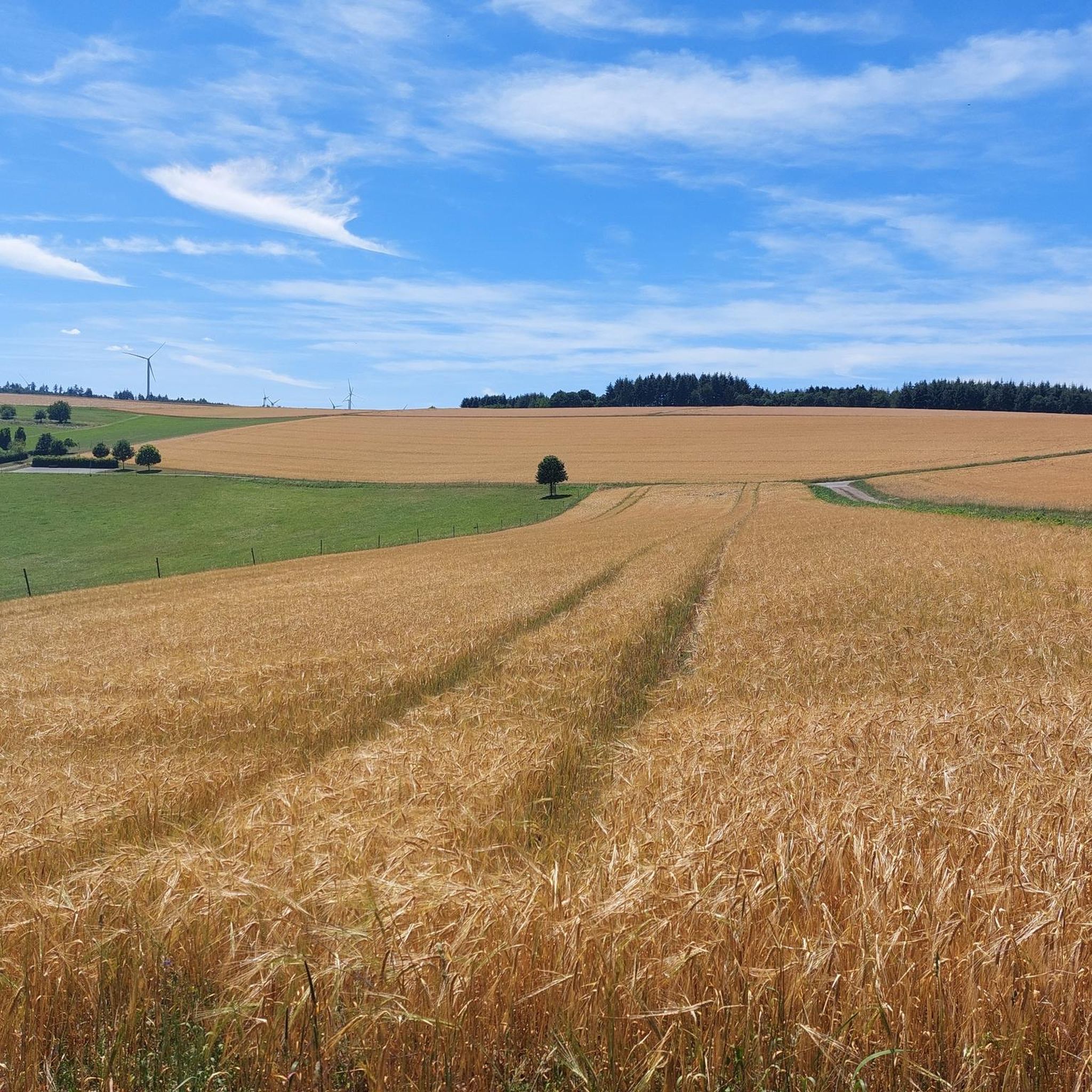
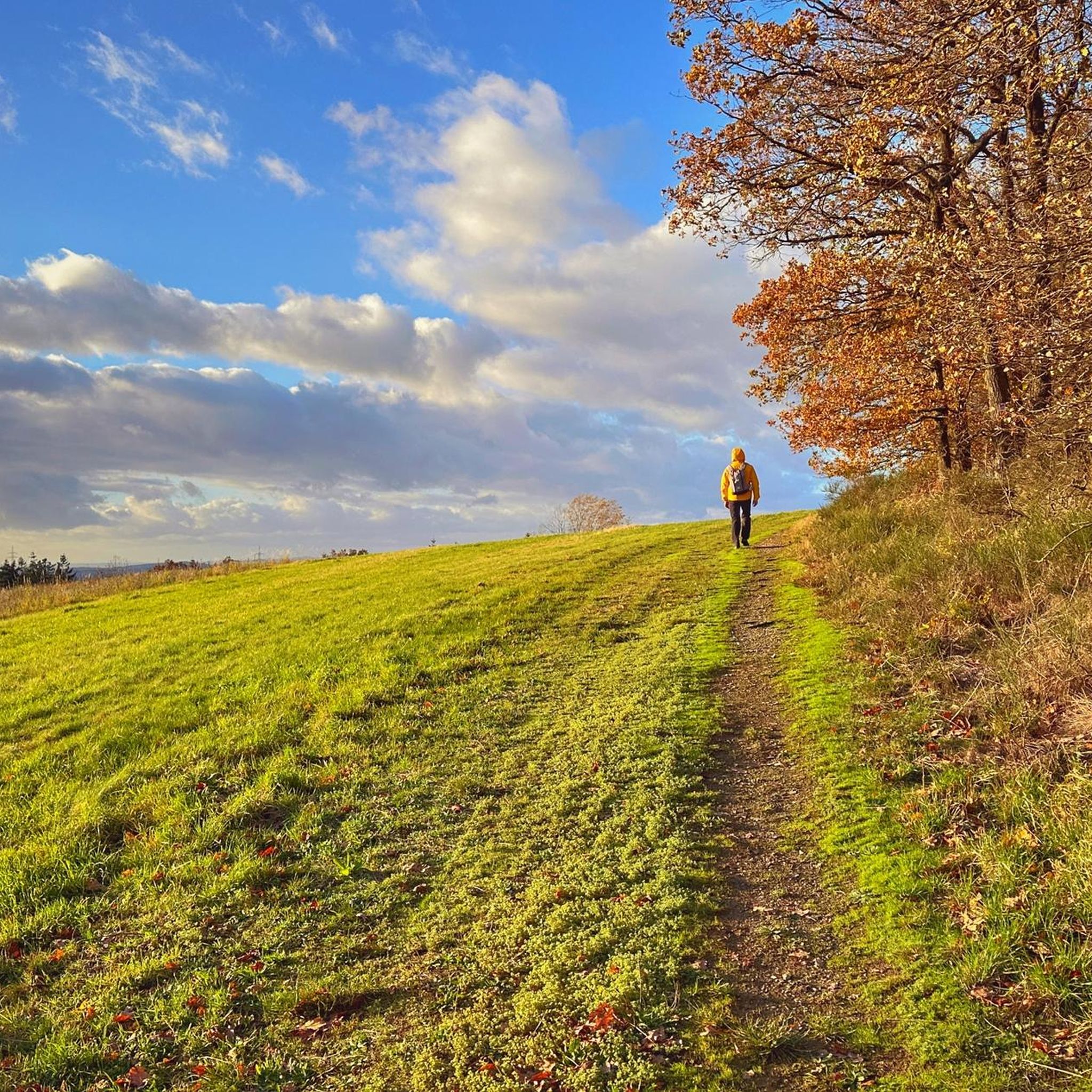
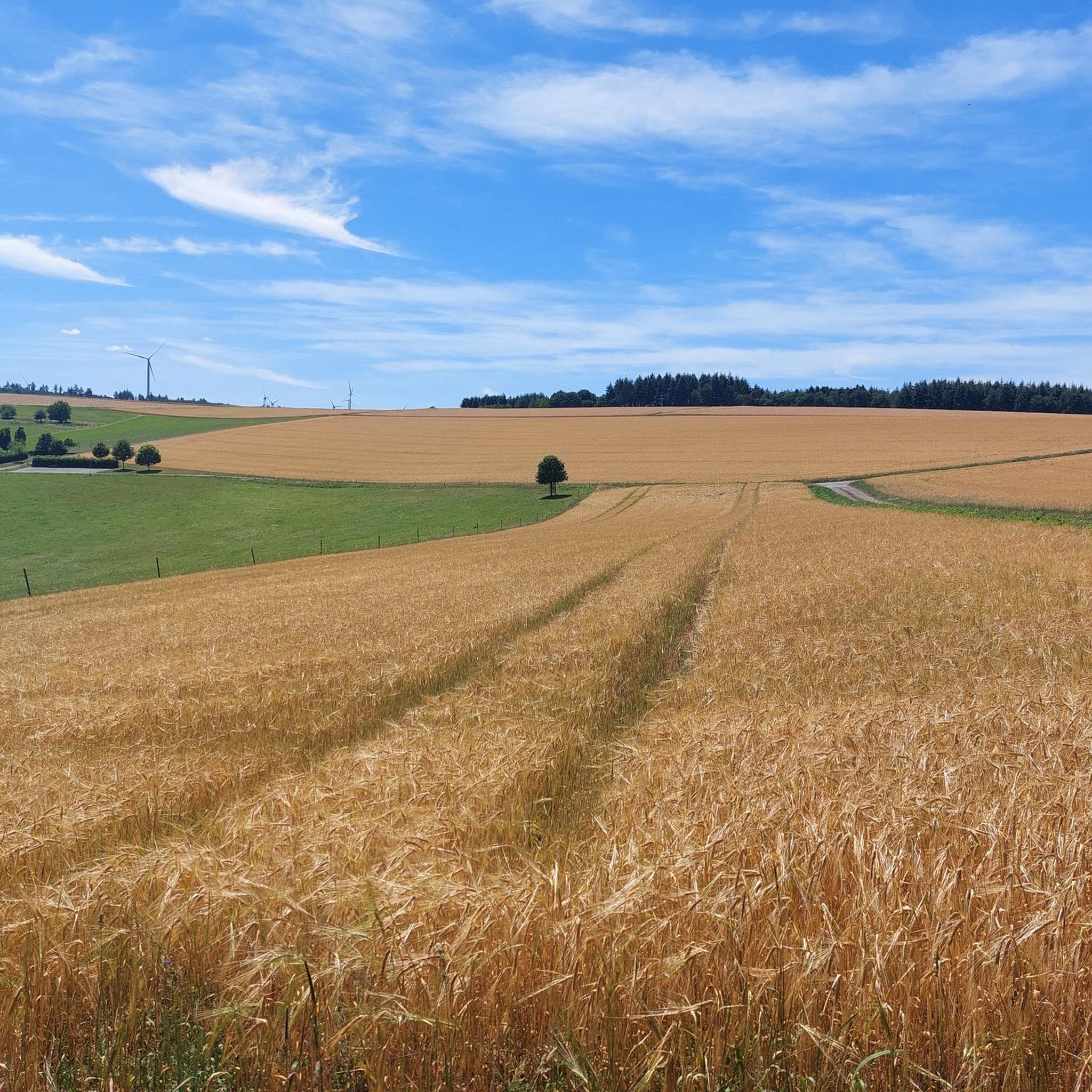
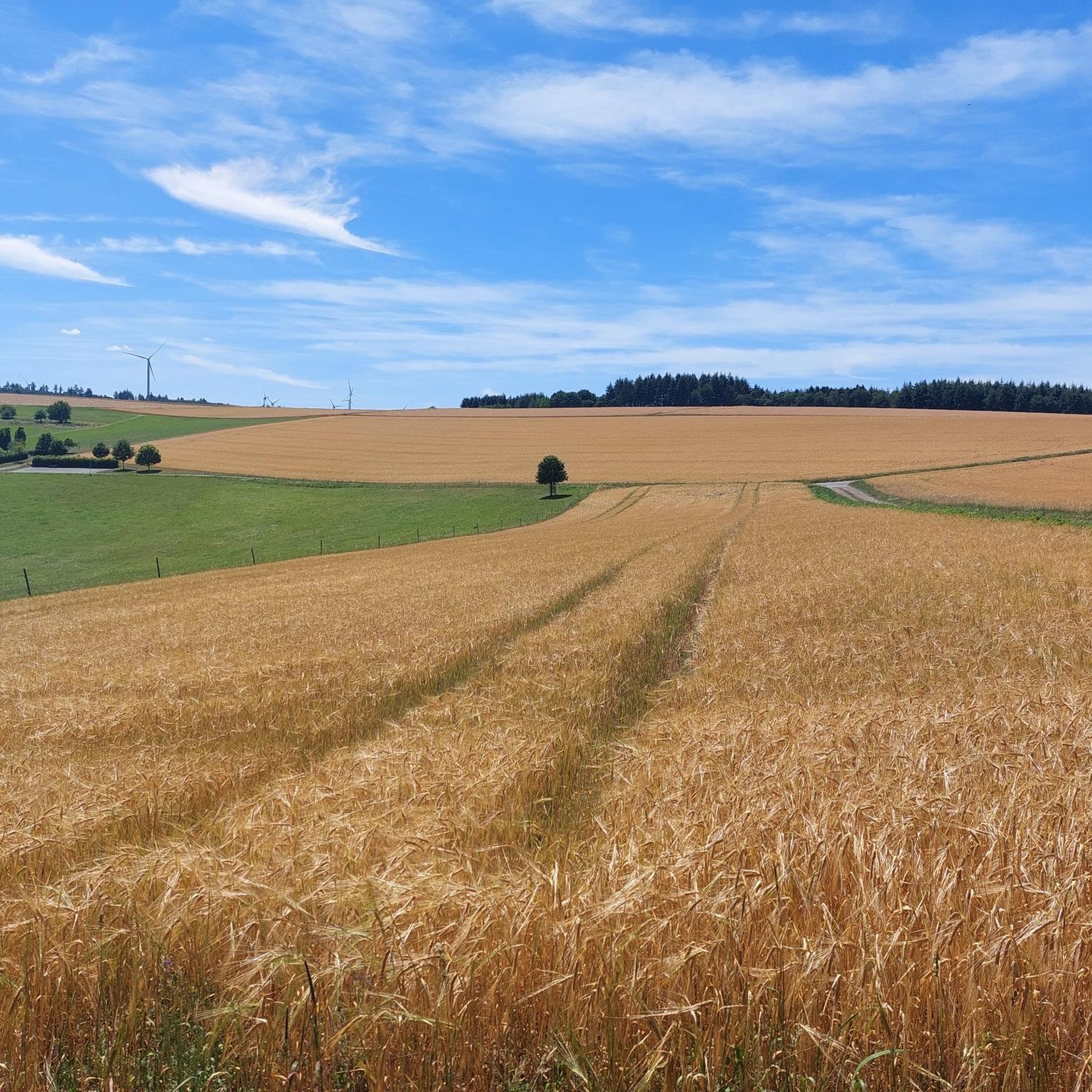
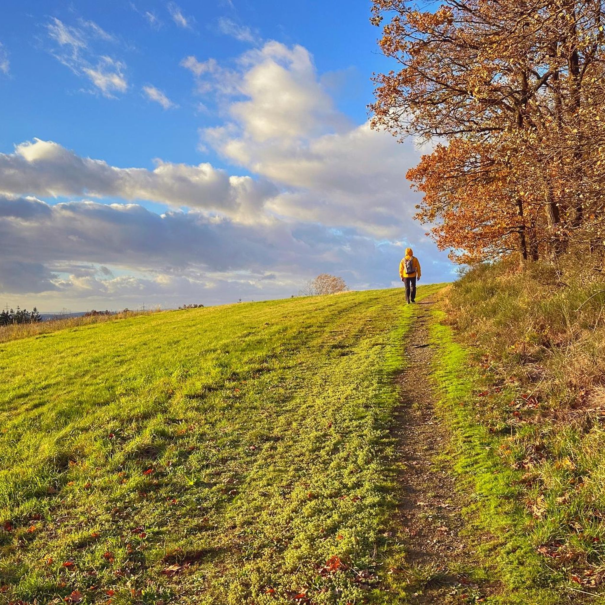
Gravel biking around Niedert offers a diverse landscape characterized by rolling hills, dense woodlands, and scenic river valleys, including areas near the Moselle. The region features a network of established cycle paths and quieter gravel tracks, providing varied terrain for off-road cycling. Elevations range from gentle inclines to more challenging climbs, with several routes incorporating historical landmarks and viewpoints. The varied topography, unpaved roads, and forests create an environment suitable for diverse gravel biking experiences.
Best gravel bike trails around…
Last updated: July 16, 2026
4.6
(7)
18
riders
Moderate gravel ride. Good fitness required. Mostly paved surfaces. Suitable for all skill levels.
5.0
(1)
13
riders
Moderate gravel ride. Good fitness required. Mostly paved surfaces. Suitable for all skill levels.

Sign up for free
4.8
(4)
14
riders
37.2km
02:21
420m
420m
Moderate gravel ride. Good fitness required. Mostly paved surfaces. Suitable for all skill levels.
2.0
(1)
11
riders
Moderate gravel ride. Good fitness required. Mostly paved surfaces. Suitable for all skill levels.
3
riders
18.0km
01:14
380m
380m
Moderate gravel ride. Good fitness required. Mostly paved surfaces. Suitable for all skill levels.
Our route recommendations are based on thousands of hikes, rides, and runs completed by other people on komoot.
Start today with a free account
Your next adventure awaits.
Login or Signup
Tips from the Community

Very good opportunity to cool down with a refreshing drink on hot days or to eat something delicious
0
0

I don't have
0
0

Great excursion restaurant, and a stop during hiking
0
0

Nicely laid out, looks nice.
0
0
It's always a pleasure to drive.
0
0

We started in Cochem. Right from the start, the road climbed steeply. Then it descended back into the valley, only to then climb the next mountain again. A real challenge for us flatlanders from the Rhineland. The finish line involved a walk across the Geierlay suspension bridge. Not recommended for those with a fear of heights. We looked for the way back off the road and found it in the forest. The last stretch then led us past the Moselle River again.
4
0
Very nice MTB route with many possibilities
0
0

Beautiful cycle path highly recommended
0
0
Frequently Asked Questions
How many gravel bike routes are available around Niedert?
There are over 15 gravel bike routes available around Niedert, catering to various skill levels. The komoot community has explored these trails extensively, with over 200 gravel bikers using komoot to discover the region's diverse terrain.
What kind of terrain can I expect on gravel bike trails around Niedert?
Gravel biking around Niedert features a diverse landscape of rolling hills, dense woodlands, and scenic river valleys, particularly near the Moselle. You'll encounter a mix of established cycle paths and quieter gravel tracks, with elevations ranging from gentle inclines to more challenging climbs.
Are there any easy gravel bike routes suitable for beginners in Niedert?
Yes, Niedert offers some routes suitable for beginners. While many routes are moderate to difficult, there is at least one easy route available. For example, the Pfalzfeld Water Tower – Pfalzfeld station loop from Ehr is a moderate trail that offers a good introduction to the region's gravel paths.
Are there challenging gravel bike routes for experienced riders in Niedert?
Absolutely. Niedert has several challenging gravel bike routes for experienced riders, with 8 routes rated as difficult. A notable option is the Pfalzfeld station – The Schinderhannes Cycle Path loop from Ehr, a demanding 55.5-mile (89.4 km) path that follows a well-known cycle route, offering extensive views and challenging sections.
Are there circular gravel bike routes in Niedert?
Many of the gravel bike routes in Niedert are designed as loops, allowing you to start and finish at the same point. Examples include the Burgen Castle (Moselle) – Hubertus Heights Viewpoint loop from Emmelshausen and the Geierlay by bike – Cycle Path to Buch loop from Laubach.
What are some interesting landmarks or attractions I can see near the gravel bike trails?
The region around Niedert is rich in natural beauty and historical sites. Along your rides, you might encounter attractions such as the Ehrbachklamm Gorge, the picturesque Baybachklamm Waterfall, or the historic Daubisberger Mill. Many routes also pass by notable viewpoints.
Are there any places to stop for food or drinks along the gravel routes?
Yes, you can find places to stop for refreshments. The area features various huts and shelters, some of which offer food and drinks. For instance, the Schmausemühle is a restaurant that could be a good stop, and there are several huts like Uschi's Hiking Station that might provide options.
What do other gravel bikers say about the trails in Niedert?
The gravel biking routes in Niedert are highly rated by the komoot community, with an average score of 4.2 stars from over 30 reviews. Riders often praise the diverse landscapes, the mix of established cycle paths and forest trails, and the opportunities to explore historical landmarks and scenic viewpoints.
How long are the gravel bike routes in Niedert?
The gravel bike routes in Niedert vary significantly in length. You can find shorter rides, such as the Horner Castle (Old Ring Wall) – Schmiedel Tunnel (Simmern) loop from Laubach at about 19.7 miles (31.7 km), up to much longer and more challenging routes like the Pfalzfeld station – The Schinderhannes Cycle Path loop from Ehr, which is 55.5 miles (89.4 km).
Can I bring my dog on gravel bike trails in Niedert?
While many outdoor trails in Germany are dog-friendly, it's always best to check specific route regulations. Generally, dogs are welcome on forest paths and cycle routes if kept on a leash. Be mindful of wildlife and other users, especially on popular trails or in nature reserve areas.
Are there family-friendly gravel biking options in Niedert?
For families, it's advisable to look for routes with gentler inclines and well-maintained surfaces. While specific 'family-friendly' designations aren't always available, easier and moderate routes, particularly those on established cycle paths, would be most suitable. Consider routes with shorter distances and fewer challenging sections.
What is the best season for gravel biking in Niedert?
The best seasons for gravel biking in Niedert are typically spring and autumn. During these times, the weather is generally mild, and the natural scenery, with blooming flowers or vibrant fall foliage, is particularly beautiful. Summer can also be pleasant, but be prepared for warmer temperatures, especially in open areas. Winter riding is possible but may involve colder temperatures and potentially muddy or icy conditions on unpaved sections.
Most popular attractions around Niedert

Get inspired with the komoot mobile app


Explore more
Browse the best Gravel rides in other regions.
