The best MTB trails around Niedert
4.5
(1560)
3,665
riders
237
rides
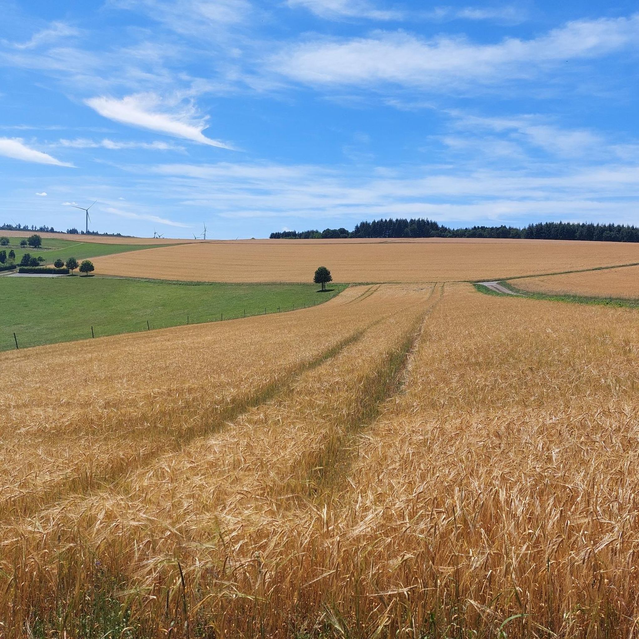
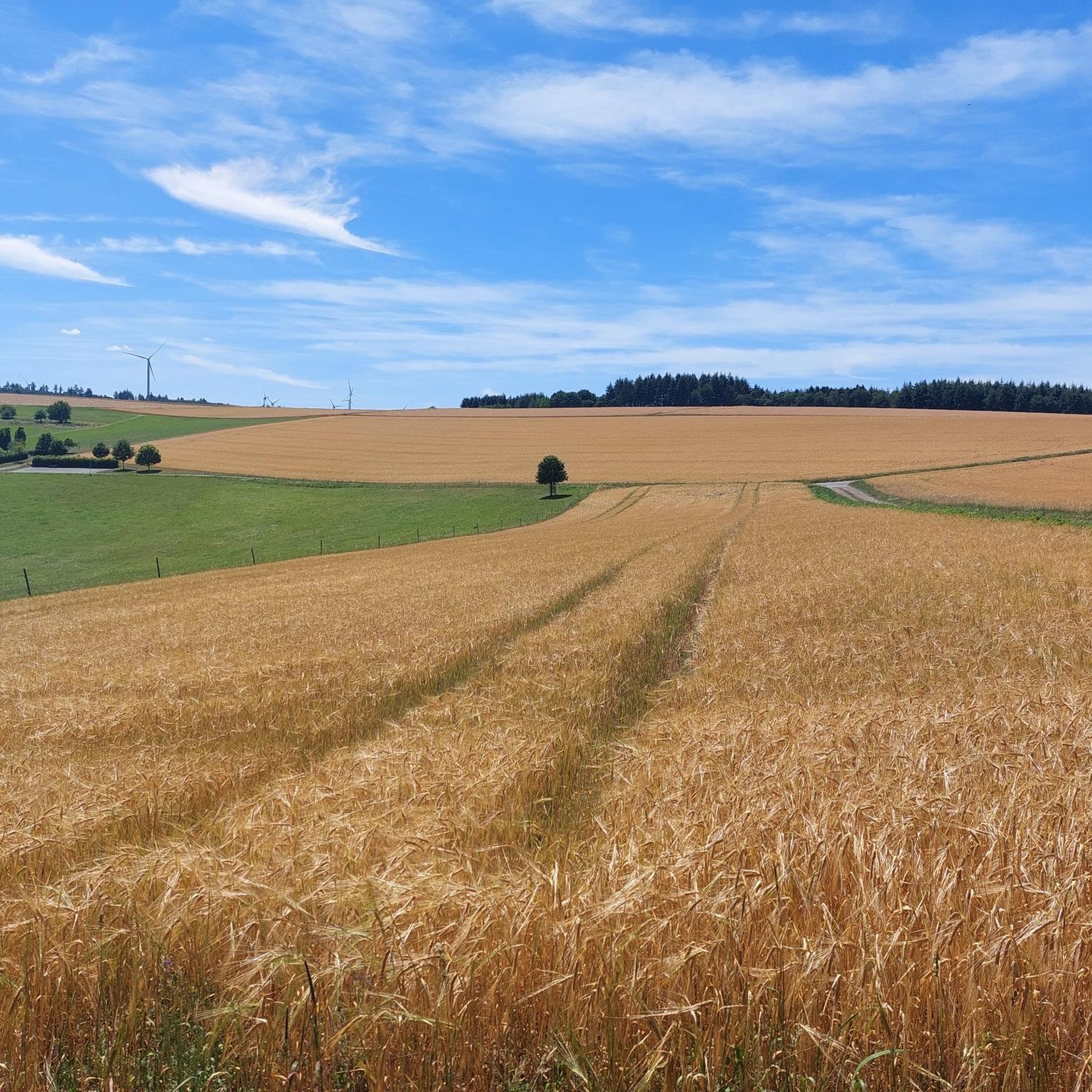
Mountain bike trails around Niedert are set within the Hunsrück region of Rhineland-Palatinate, Germany. The area is characterized by its diverse landscapes, including woodlands and elevated terrain, offering a natural setting for outdoor pursuits. Niedert itself is situated at an elevation of 415 meters, providing access to regional trail networks and scenic routes. The Hunsrückhöhenstraße, a scenic road, also traverses the area, indicating varied topography suitable for mountain biking.
Best mountain bike trails around Niedert
- The most popular mountain bike…
Last updated: July 1, 2026
4.4
(28)
39
riders
34.7km
02:16
320m
320m
Moderate mountain bike ride. Good fitness required. Advanced riding skills necessary.
4.0
(5)
19
riders
40.3km
03:15
700m
700m
Moderate mountain bike ride. Good fitness required. Advanced riding skills necessary.

Sign up for free
5.0
(2)
8
riders
42.1km
03:39
720m
720m
Moderate mountain bike ride. Good fitness required. Advanced riding skills necessary.
4
riders
32.0km
02:49
550m
550m
Moderate mountain bike ride. Good fitness required. Advanced riding skills necessary.
3
riders
21.5km
01:51
350m
350m
Moderate mountain bike ride. Good fitness required. Advanced riding skills necessary.
Get access to more routes and recommendations from other explorers.
Sign up for free
Already have an account?
Our route recommendations are based on thousands of hikes, rides, and runs completed by other people on komoot.
Start today with a free account
Your next adventure awaits.
Login or Signup
Tips from the Community


Even on my last tour, the mill with the small chapel looked abandoned, but now there is also a "For Sale" sign next to it. A real shame, by the way, for these historic buildings in a fantastic natural landscape.
0
0

The name Loreley-Felsen originated from the myths and legends of, among others, Clemens Brentano, who wrote a romantic ballad named Loreley. In a 19th-century legend, it is told that the blonde beauty Loreley enchanted the skippers on the Rhine with her singing from the rock, and therefore, despite the dangerous current, they no longer paid attention to their course and the ships crashed against the rock reefs.
2
0
The Loreley is a slate rock formation and is located in the UNESCO World Heritage site Upper Middle Rhine Valley south of Sankt Goarshausen on the eastern right bank of the Rhine at river kilometer 555. With its height of 132 meters (193.14 m above sea level), it towers high on the inside of the Rhine bend, but also has shallows up to 100 meters in the middle of the river. This makes this section of the river one of the most dangerous on the Rhine.
2
0
The BUGA 2029 will offer its visitors the opportunity to experience the beauties of this unique landscape in a new way. For this purpose, garden landscapes and parks are to be created, each with its own character and its own story to present. The program will be complemented by guided tours of historical castles or wine tastings, where guests will be introduced to the history of wine cultivation in the region.
0
0
Located in the beautiful Middle Rhine Valley, very close to the famous Loreley rock, the Rheinfels Castle ruins today attract guests from near and far with their picturesque setting. Previously, the fortress was considered one of the safest and most impregnable castles in Germany.
1
0

Great hiking trail through the gorge, adventurous over stones, bridges and rope-secured climbing sections. Very rustic and natural landscape with a few waterfalls.
0
0
Frequently Asked Questions
How many mountain bike trails are available around Niedert?
There are over 240 mountain bike trails around Niedert, offering a wide range of options for different skill levels and preferences. The region's diverse landscapes, including woodlands and elevated terrain, provide a natural setting for outdoor pursuits.
Are there easy mountain bike trails suitable for beginners in Niedert?
Yes, Niedert offers a good selection of trails suitable for beginners. There are 39 easy mountain bike routes available, allowing new riders to enjoy the Hunsrück landscape at a comfortable pace.
What are some longer mountain bike routes for experienced riders?
For those seeking longer rides, routes like the H. Rechmann-Weg Rest Area – Sevenicher Bauernmühle loop from Hausbay cover approximately 43.3 km and typically take around 3 hours 43 minutes. Another option is the Mannebach Fish Ponds – Schinderhannes Cycle Path loop from Hausbay, which is 34.7 km long.
Are there any mountain bike trails that feature waterfalls or gorges?
Yes, the region around Niedert is known for its natural beauty, including waterfalls and gorges. You can explore routes like the Ehrbachklamm Waterfalls – Schönecker Stahlbrunnen loop from Norath, which passes by the Ehrbachklamm Waterfalls. Other notable natural attractions include the Ehrbachklamm Gorge and the Baybachklamm Waterfall.
What do other mountain bikers enjoy most about the trails in Niedert?
The mountain bike trails around Niedert are highly rated by the komoot community, with an average score of 4.6 stars from over 1,300 reviews. Riders often praise the diverse landscapes, quiet woodlands, and the varied terrain that defines the Hunsrück region.
Are there family-friendly mountain bike routes in the Niedert area?
While specific 'family-friendly' designations can vary, many of the 39 easy routes around Niedert are suitable for families looking for less challenging rides. These trails often feature smoother paths and gentler inclines, allowing for a pleasant experience for all ages.
Can I find circular mountain bike routes around Niedert?
Yes, many of the mountain bike trails around Niedert are designed as circular routes, allowing you to start and end at the same point. Examples include the Baybach Valley – Pfalzfeld Water Tower loop from Hausbay and the Kehlenmühle – Medieval Cart Path loop from Emmelshausen.
Are there any historical landmarks or castles to see along the mountain bike trails?
Yes, the Hunsrück region has a rich history. Some routes may offer views of historical sites. For example, you can find highlights such as the View of the Rauschenburg castle ruins from Peterslay or the Waldeck Castle Ruins in the broader area.
What is the best time of year for mountain biking in Niedert?
The Hunsrück region, where Niedert is located, offers pleasant conditions for mountain biking from spring through autumn. The diverse landscapes are particularly beautiful during these seasons, with lush greenery in spring and vibrant colors in autumn. While some trails may be accessible in winter, conditions can be more challenging due to snow or ice.
Are there mountain bike trails with scenic viewpoints near Niedert?
Many trails in the elevated terrain around Niedert offer scenic views of the Hunsrück landscape. The region's position on the Hunsrückhöhenstraße suggests varied topography, providing opportunities for panoramic vistas. Look for routes that traverse higher elevations or pass by designated viewpoints for the best scenery.
Is it possible to reach mountain bike trails in Niedert using public transport?
Niedert is a small municipality, and while direct public transport links to specific trailheads might be limited, the broader Hunsrück region has some public transport options. It's advisable to check local bus schedules for connections to larger towns like Emmelshausen, which may offer better access to regional trail networks. However, for ultimate flexibility, traveling by car is often preferred.
Are dogs allowed on the mountain bike trails around Niedert?
Generally, dogs are welcome on most public trails in Germany, especially in natural areas like the Hunsrück. However, it's always recommended to keep dogs on a leash, especially in nature reserves, near wildlife, or when encountering other trail users. Always check local signage for specific regulations on individual trails.
Most popular attractions around Niedert

Get inspired with the komoot mobile app


Explore more
Browse the best MTB trails in other regions.
