The best gravel rides around Sant'Antonino Di Susa
4.2
(53)
481
riders
29
rides
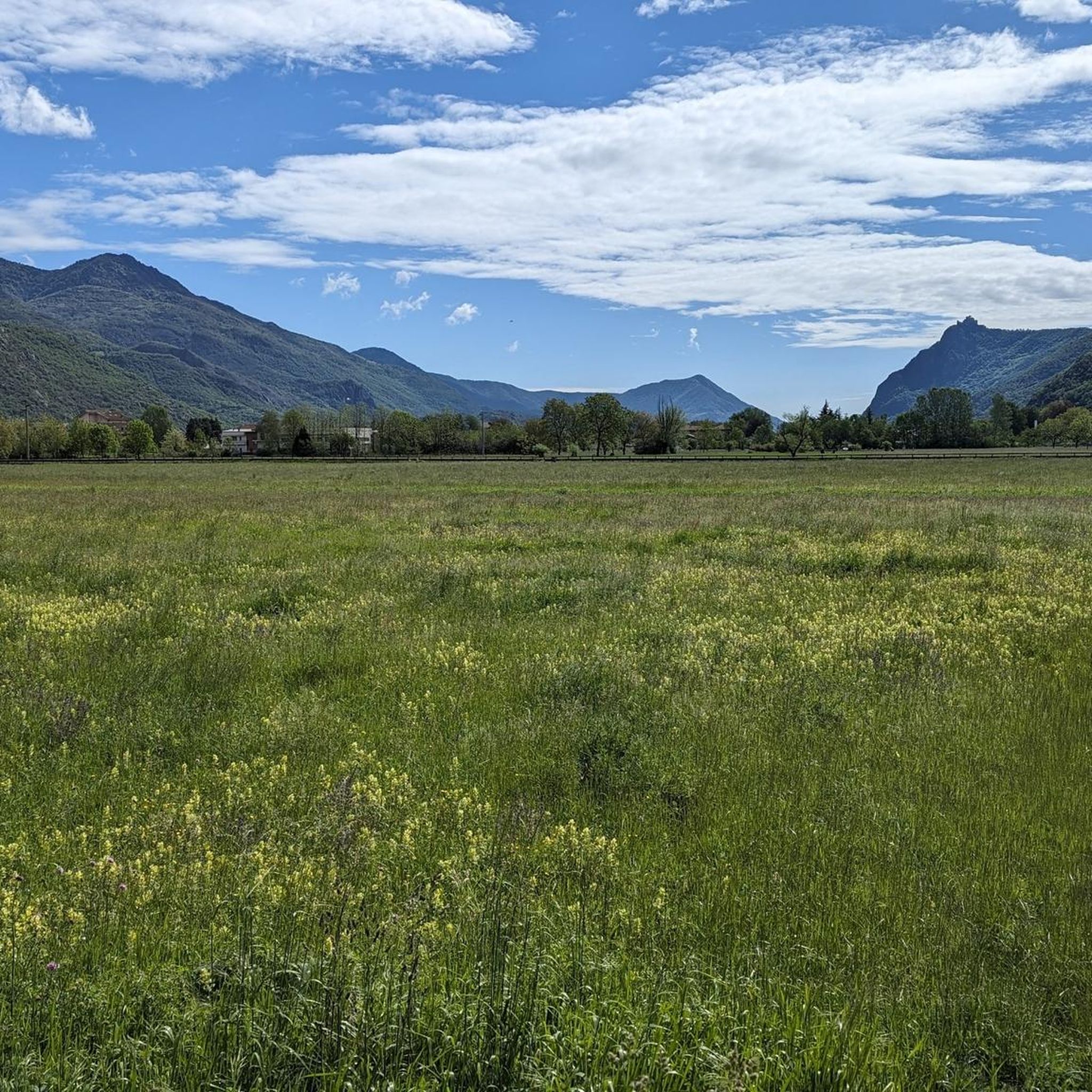
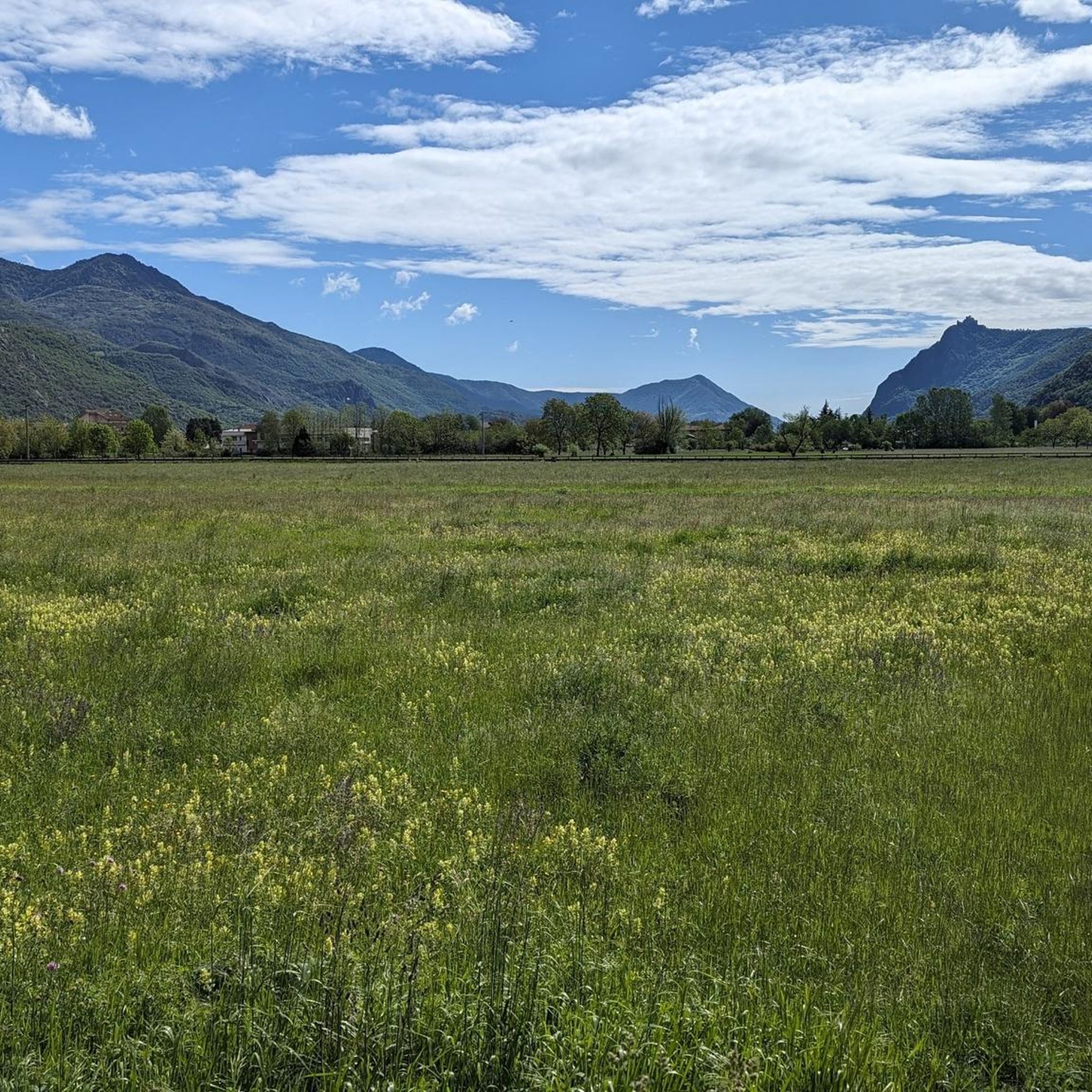
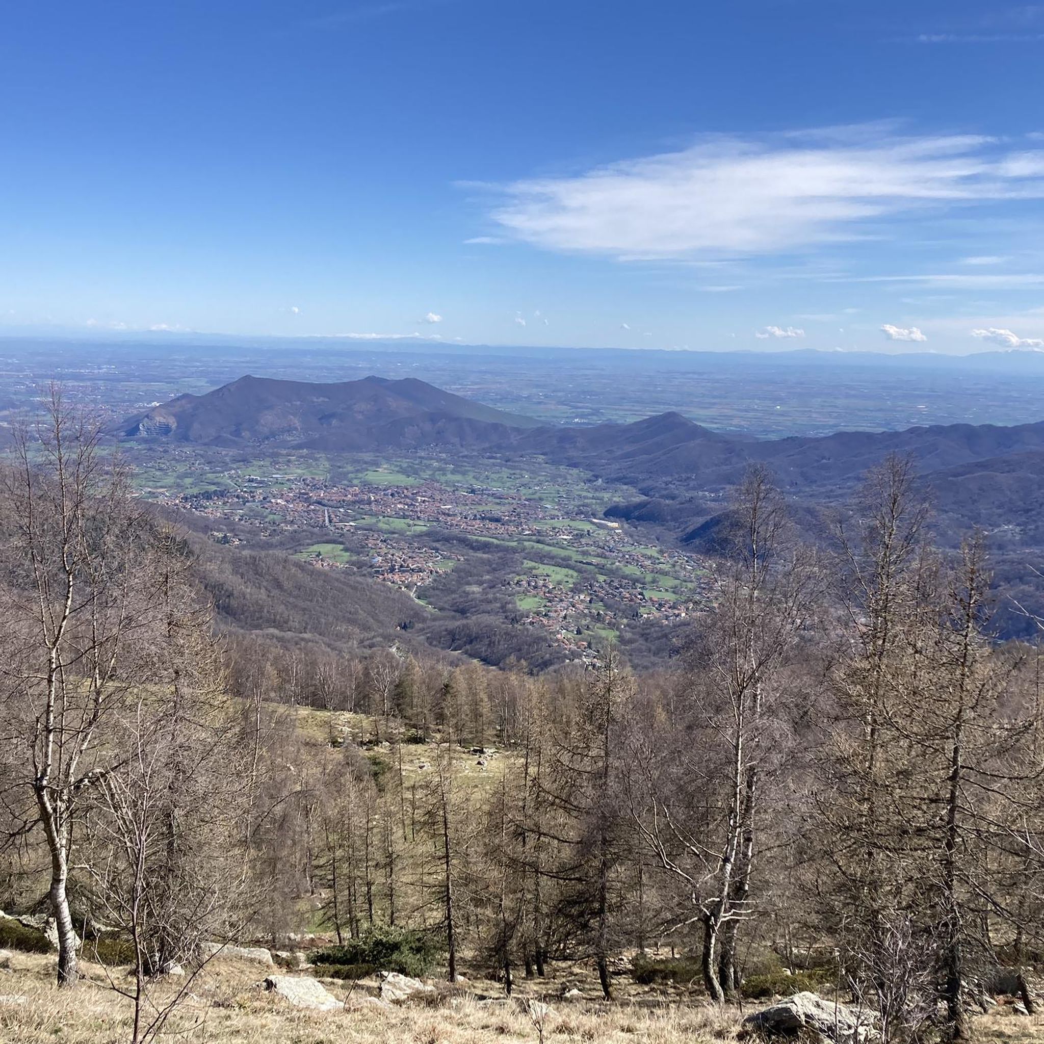
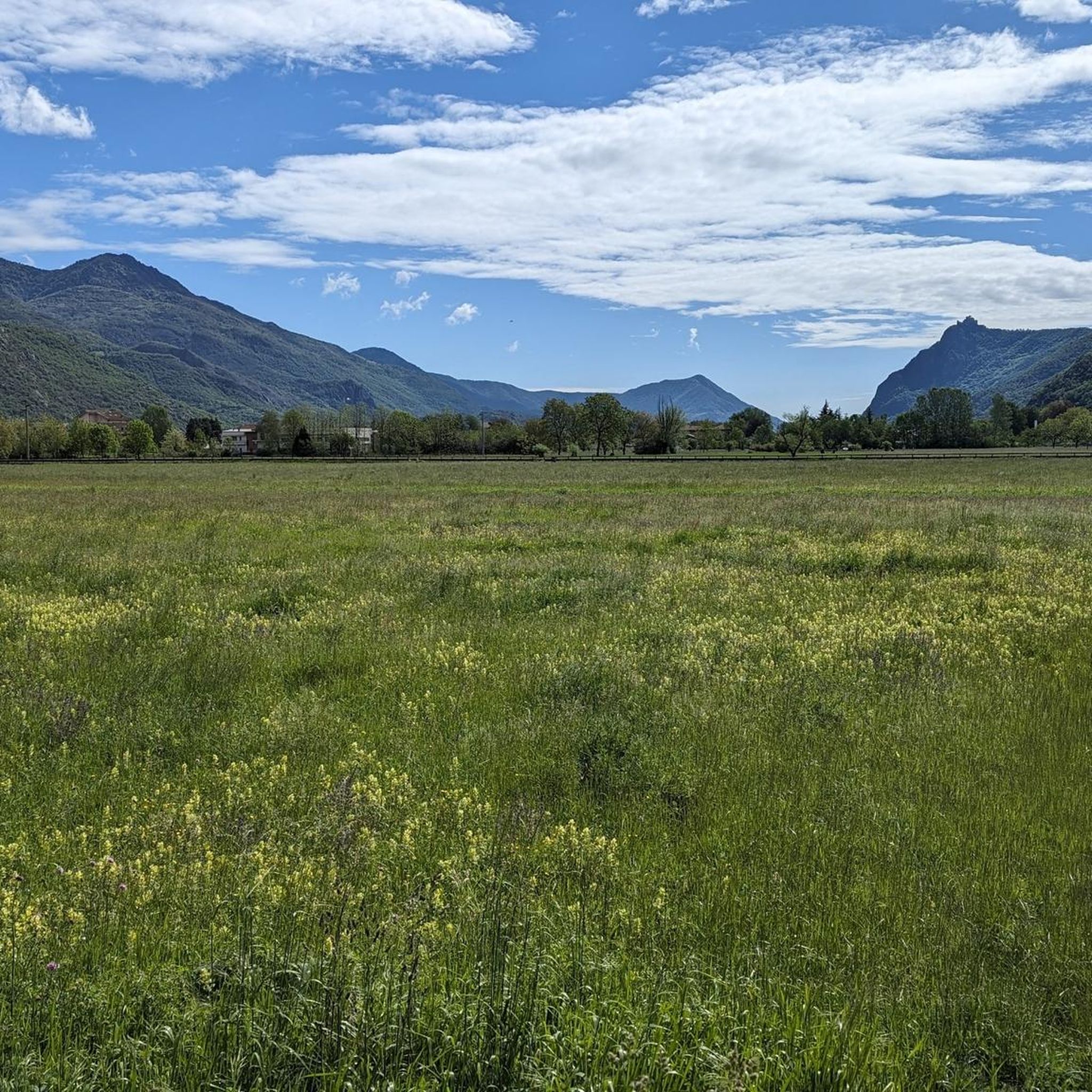
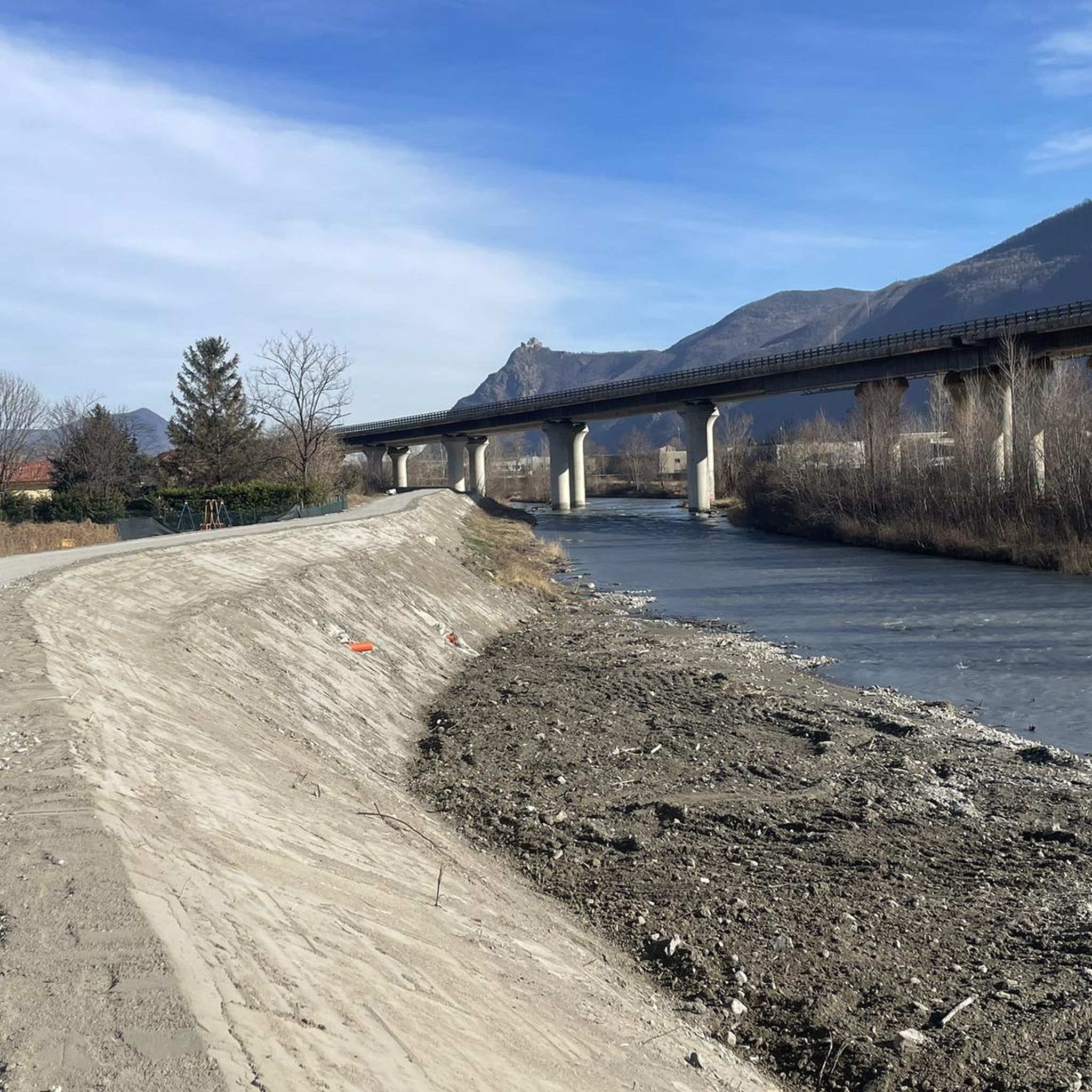
Gravel biking around Sant'Antonino Di Susa offers diverse terrain for riders. The region is characterized by its proximity to mountain passes like Lys Pass and Forno Pass, alongside historical routes such as the Via Francigena. Riders can expect a mix of challenging ascents, scenic paths along canals, and routes connecting to lakes and towns. The landscape provides varied surfaces suitable for gravel bikes, from compacted dirt to more rugged mountain trails.
Best gravel bike trails around Sant'Antonino Di Susa
- The…
Last updated: October 24, 2026
4.5
(6)
70
riders
Moderate gravel ride. Good fitness required. Mostly paved surfaces.
4.7
(3)
42
riders
84.2km
06:59
2,960m
2,960m
Hard gravel ride. Very good fitness required. Mostly paved surfaces.

31
riders
93.9km
07:10
2,510m
2,510m
Hard gravel ride. Very good fitness required. Mostly paved surfaces.
4.0
(2)
37
riders
64.5km
03:47
590m
590m
Hard gravel ride. Very good fitness required. Mostly paved surfaces.
5.0
(1)
26
riders
42.2km
02:29
470m
470m
Hard gravel ride. Very good fitness required. You may need to push your bike for some segments of this route.
Get access to more routes and recommendations from other explorers.
Already have an account?
Our route recommendations are based on thousands of hikes, rides, and runs completed by other people on komoot.
Start today with a free account
Your next adventure awaits.

Tips from the Community


Quite good to ride.
3
0

From the Castle square, beautiful view of Rivoli, corso Francia, Turin, and the hill. Impressive to get there, but worth it.
1
0

Simple route with several fountains and some shade, a beautiful landscape over the Susa Valley, also passing below San Michele....
0
0

Track almost entirely paved, allows you to reach several dirt roads of the Rivalta and Villarbasse trails
1
0

Great starting point for many hikes
2
0

A beautiful bike path connects Villaggio Aurora to the Rivoli hospital area. Surrounded by fields, it's pleasant and quiet.
1
0
An ideal spot to see the large Avigliana lake: a convenient stop, it offers spectacular views. You couldn't ask for more.
0
0
Frequently Asked Questions
How many gravel bike trails are available around Sant'Antonino Di Susa?
There are over 35 gravel bike routes in the Sant'Antonino Di Susa area, catering to various skill levels. You'll find a good mix of easy, moderate, and challenging options to explore.
Are there any easy or beginner-friendly gravel bike routes?
Yes, while many routes are challenging, there are 4 easy gravel bike trails suitable for beginners. These routes typically feature less elevation gain and smoother surfaces, perfect for getting started.
What are the most challenging gravel bike trails in the region?
For experienced riders seeking a challenge, there are 21 difficult gravel bike routes. One notable option is the Exposed Rock Formation – Lys Pass loop from Sant'Ambrogio, which covers 52.3 miles (84.2 km) with significant elevation gain through mountain landscapes.
Can I find circular gravel bike routes around Sant'Antonino Di Susa?
Many of the gravel bike trails in the area are designed as loops, allowing you to start and finish at the same point. For instance, the La Bizzarria – Rivoli → Rivalta cycle route loop from Sant'Ambrogio offers a long, varied circular ride.
What kind of scenery can I expect on these gravel bike trails?
The region offers diverse scenery, from mountain passes like Lys Pass and Forno Pass to historical paths along the Via Francigena and scenic routes connecting to lakes and towns. You'll encounter a mix of natural landscapes and cultural points of interest.
Are there any routes that pass by lakes or water features?
Yes, some routes connect to local lakes. The Lake Grande of Avigliana – Lago Grande di Avigliana loop from Giaveno is a great option if you're looking to cycle around a beautiful lake.
What are some interesting landmarks or attractions along the gravel routes?
Beyond the trails, you can explore several highlights. Consider visiting the Path of the Princes or enjoying the View of Turin from Frassinere. For natural wonders, the Goja del Pis Waterfall is also accessible.
What do other gravel bikers say about the trails in Sant'Antonino Di Susa?
The gravel biking routes in Sant'Antonino Di Susa are highly rated by the komoot community, with an average score of 4.6 stars from nearly 40 reviews. Riders often praise the varied terrain, from compacted dirt to more rugged mountain trails, and the blend of natural and historical scenery.
Are there any routes that follow historical paths?
Absolutely. The region is known for its historical routes, including sections of the Via Francigena. The Via Francigena Along the Canal – Susa loop from Sant'Ambrogio is a prime example, offering a blend of cultural and natural scenery along ancient paths and canals.
What is the typical duration for a gravel bike ride in this area?
Ride durations vary significantly based on the route's length and difficulty. Shorter, easier routes might take a couple of hours, while longer, more challenging ones, such as the Exposed Rock Formation – Lys Pass loop from Sant'Ambrogio, can take around 8 to 9 hours to complete.
Are there any routes that go through mountain passes?
Yes, the area is characterized by its proximity to significant mountain passes. The Borgata Ciandet – Forno Pass (1,100 m) loop from Giaveno is an example of a route that takes you through a mountain pass, offering challenging climbs and rewarding views.
Most popular routes around Sant'Antonino Di Susa
Most popular attractions around Sant'Antonino Di Susa

Get inspired with the komoot mobile app


Explore more
Browse the best Gravel rides in other regions.
