The best cycling routes around Sant'Antonino Di Susa
4.6
(221)
4,020
riders
23
rides
Touring cycling routes around Sant'Antonino Di Susa traverse the diverse landscapes of Italy's Susa Valley, characterized by verdant fields, dense woods, and mountainous terrain. The region features the Dora Riparia river and offers routes that connect to historic pathways like the Via Francigena. Cyclists encounter a mix of valley floors and ascents into higher elevations, providing varied challenges and scenic backdrops.
Best touring cycling routes around Sant'Antonino Di Susa
- The most popular touring cycling route is Mocchie Square – Road…
Last updated: November 1, 2026
54
riders
43.6km
03:57
1,360m
1,360m
Hard bike ride. Very good fitness required. Mostly paved surfaces.
4.0
(1)
39
riders
Hard bike ride. Very good fitness required. Mostly paved surfaces.

11
riders
Hard bike ride. Very good fitness required. Mostly paved surfaces.
4.0
(2)
32
riders
Easy bike ride. Mostly paved surfaces.
5.0
(1)
19
riders
Easy bike ride. Mostly paved surfaces.
Get access to more routes and recommendations from other explorers.
Already have an account?
Our route recommendations are based on thousands of hikes, rides, and runs completed by other people on komoot.
Start today with a free account
Your next adventure awaits.
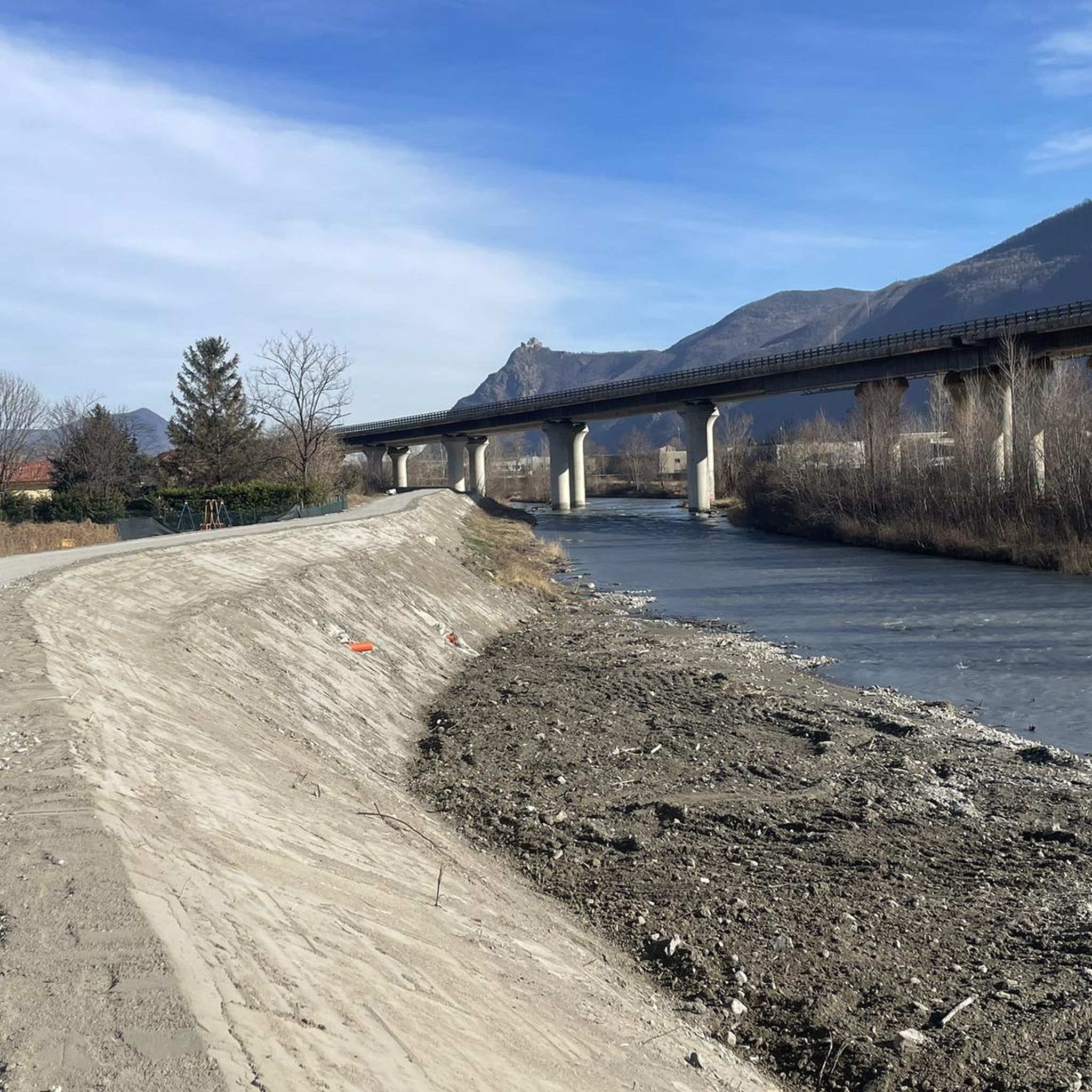

Tips from the Community

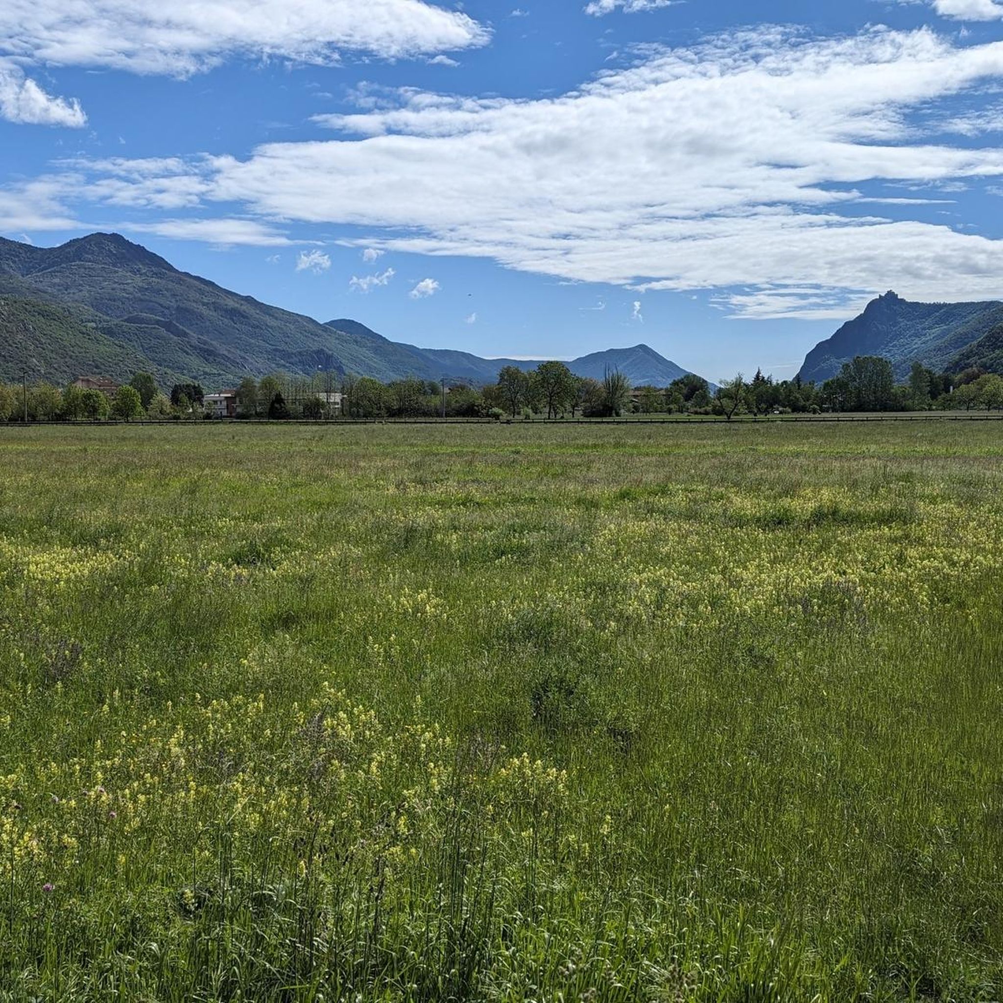
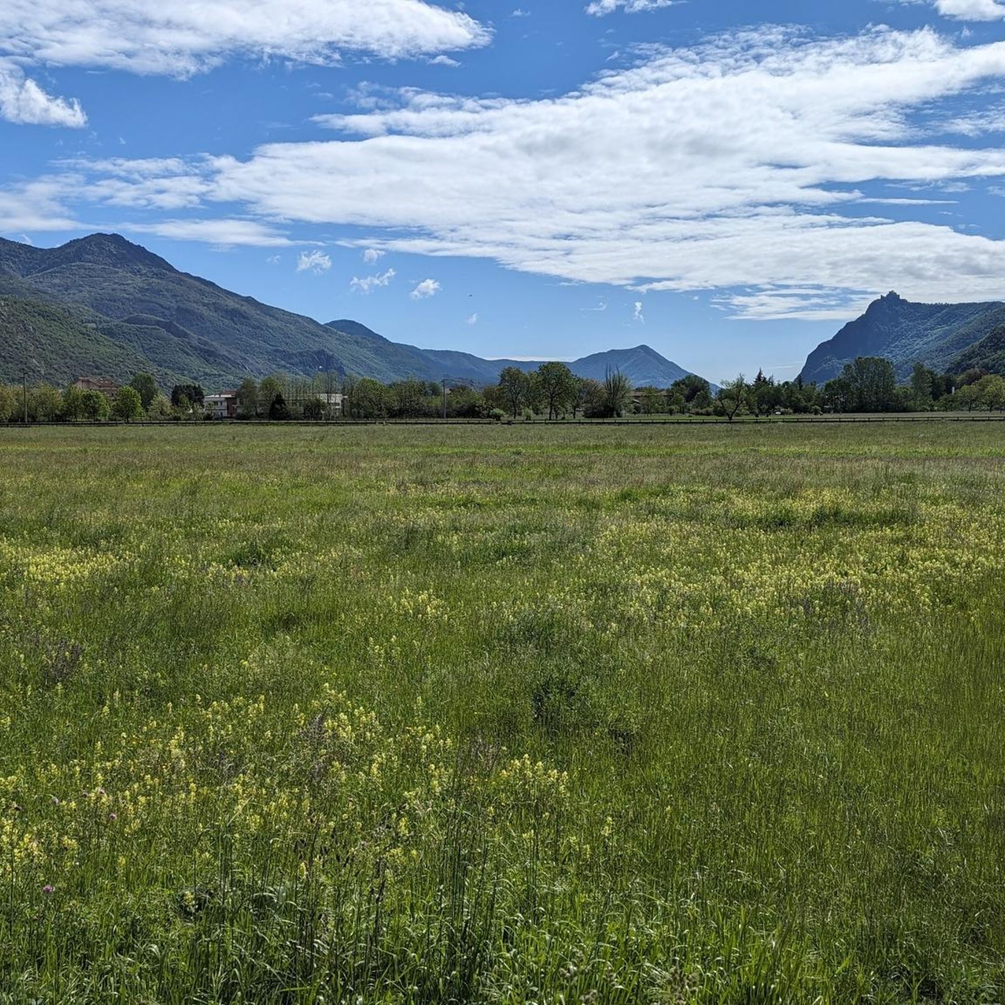
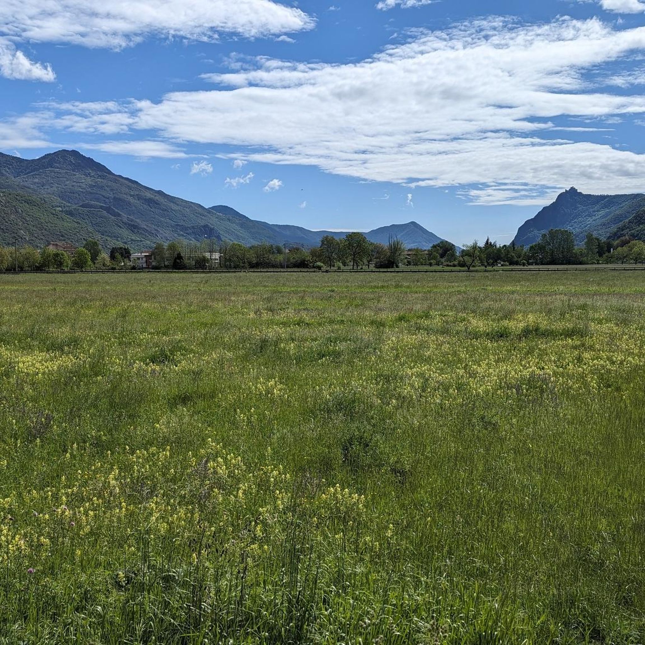
Simple route with several fountains and some shade, a beautiful landscape over the Susa Valley, also passing below San Michele....
0
0

Beautiful route surrounded by the splendid mountains of Val Susa with the supervision of Mount Musinè and the Sacra di S.Michele.
0
0

The square of Mocchie, enhanced by the evocative statue dedicated to the labors of the farming world and dominated by the beautiful baroque-style church, is the ideal starting point for numerous excursions, both towards the hamlets around Mocchie, and towards the Alotto, Frassiniere and Prarotto area, locations reachable by beautiful mule tracks also suitable for MTB. There is a small parking lot, a fountain, benches and, not too far away, a bar that becomes an excellent meeting point for after-hikes!
0
0

A fortress worth seeing, unfortunately very busy.
1
0

Panoramic viewpoint, church and monument
1
0

Between the late 4th and early 5th centuries, the Roman Empire strengthened its Alpine defenses with a system of "locks," fortifications blocking the valleys at key crossing points on the main communication routes to the passes. These were later used by the Goths and Byzantines and were repeatedly restored by the Lombard kings, still interested in maintaining the fortifications and controlling traffic along the border areas. It is highly unlikely that these wall remains, visible for example near the village of Chiusa di San Michele, actually represent the remains of the ancient lock. After the fall of the Lombard kingdom, the lock remained a geographical and liminal landmark, only to eventually lose this function as well during the 12th century. (cit. from M. Palese, Mondi Medievali website)
0
0

This cycle path, part of several networks (Ciclostrada Segreta del Diacono Martino, AIDA, Via Francigena, etc.), connects Vaie to Chiusa San Michele, passing along quiet roads halfway up the hillside, with a pleasant up-and-down ride through the trees. On holidays, the roads are closed to motorized traffic. This stretch in particular is very pleasant.
0
0
A very picturesque stretch of cycle path connecting Vaie to Chiusa San Michele.
1
0
Frequently Asked Questions
How many touring cycling routes are available around Sant'Antonino Di Susa?
There are over 20 touring cycling routes around Sant'Antonino Di Susa, offering a variety of options for different skill levels. These routes are highly rated by the komoot community, with an average score of 4.9 stars.
What types of terrain can I expect on touring cycling routes in the Susa Valley?
The Susa Valley offers diverse terrain for touring cyclists. You'll find routes traversing verdant valley floors, dense woods, and mountainous areas. Some routes follow historic pathways like the Via Francigena, while others ascend into higher elevations, providing a mix of paved roads and possibly some gravel sections, especially on older paths.
Are there any easy touring cycling routes suitable for beginners?
Yes, Sant'Antonino Di Susa offers 7 easy touring cycling routes. These routes typically feature less elevation gain and are suitable for those new to touring cycling or looking for a more relaxed ride.
What challenging touring cycling routes are available for experienced riders?
For experienced touring cyclists seeking a challenge, there are 9 difficult routes. One such route is the Mocchie Square – Road to Mocchie loop from Sant'Antonino - Vaie, which covers 25.6 miles (41.2 km) with significant elevation gain. Another demanding option is the Certosa di Montebenedetto – Francigena Cycle Route loop from Sant'Antonino - Vaie.
What natural features and landmarks can I see along the cycling routes?
The Susa Valley is rich in natural beauty and historical landmarks. You can cycle past the Dora Riparia river, explore green woods, and encounter significant sites. Notable attractions include the iconic Sacra di San Michele, an ancient abbey perched on Mount Pirchiriano, and the picturesque Lago Grande di Avigliana and Lakes of Avigliana, which are part of a natural park. You might also discover the renovated Avigliana Castle.
Are there any family-friendly touring cycling routes in the area?
While specific 'family-friendly' routes are not explicitly detailed, the region's mix of valley floors and dedicated bike paths, especially along the Dora Riparia river and parts of the Via Francigena, can offer suitable options for families. Routes with moderate difficulty, like the Francigena Cycle Route – Bridge Over the River loop from Sant'Antonino - Vaie, might be manageable for families with some cycling experience, as it features less extreme elevation changes.
Can I find circular touring cycling routes around Sant'Antonino Di Susa?
Yes, many touring cycling routes in the area are designed as loops, allowing you to start and end in the same location. Examples include the Piana di Vaie – Colle Braida loop from Sant'Antonino - Vaie and the Castle of the Green Count – Celle Village loop from Sant'Antonino - Vaie.
What is the best time of year for touring cycling in Sant'Antonino Di Susa?
The Susa Valley is generally pleasant for cycling from spring through autumn. Spring offers lush greenery, while autumn provides beautiful foliage. Summer can be warm, especially in the valley, but higher elevation routes offer cooler temperatures. Winter cycling might be limited by snow, particularly on mountainous trails and passes.
Are there any waterfalls accessible or visible from touring cycling routes?
While not directly on every touring cycling route, the region around Sant'Antonino Di Susa features several beautiful waterfalls that can be incorporated into your cycling adventures or visited nearby. These include Goja del Pis Waterfall, Leuja Scura Waterfall, and Gravio Waterfall.
Is public transport available for cyclists in the Susa Valley?
The Susa Valley has public transport options, including train services that run through the valley. It's advisable to check with local transport providers regarding their policies on carrying bicycles, as space might be limited, especially during peak times. This can be useful for reaching starting points or returning from longer routes.
Are there places to stop for coffee or food along the touring cycling routes?
Yes, the Susa Valley is dotted with ancient villages and towns where you can find cafes, restaurants, and local shops. Many routes pass through or near these settlements, offering opportunities to refuel and experience local hospitality. Sant'Antonino di Susa itself provides various amenities for cyclists.
Are there specific permits required for cycling on trails in the Susa Valley?
Generally, no specific permits are required for touring cycling on public roads and marked trails in the Susa Valley. However, it's always good practice to respect private property, follow local regulations, and be aware of any specific rules for protected natural areas, such as the Avigliana Lakes Natural Park.
Most popular routes around Sant'Antonino Di Susa
Most popular attractions around Sant'Antonino Di Susa

Get inspired with the komoot mobile app


Explore more
Browse the best Cycling routes in other regions.
