The best gravel rides around Tilshead
4.6
(10)
148
riders
9
rides
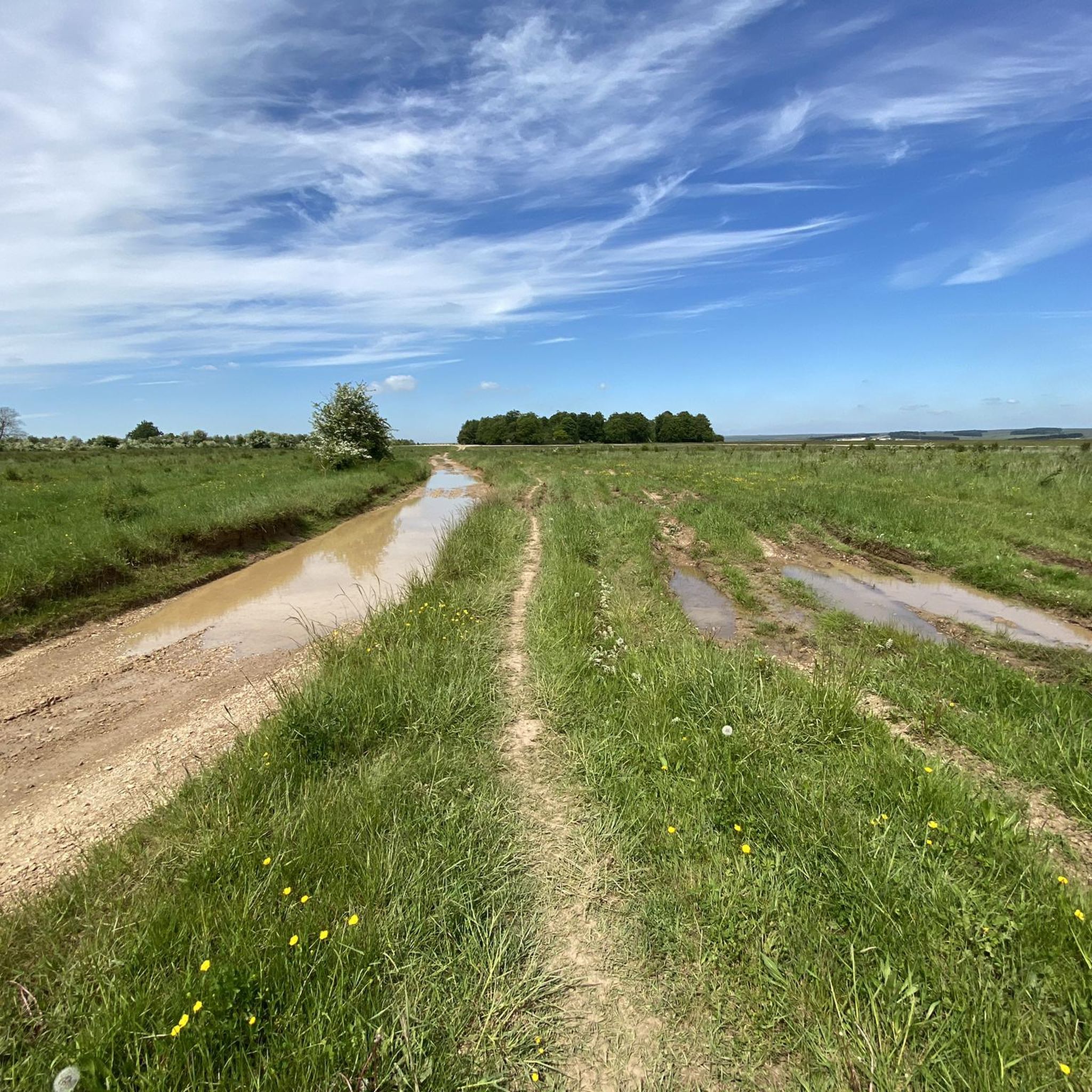
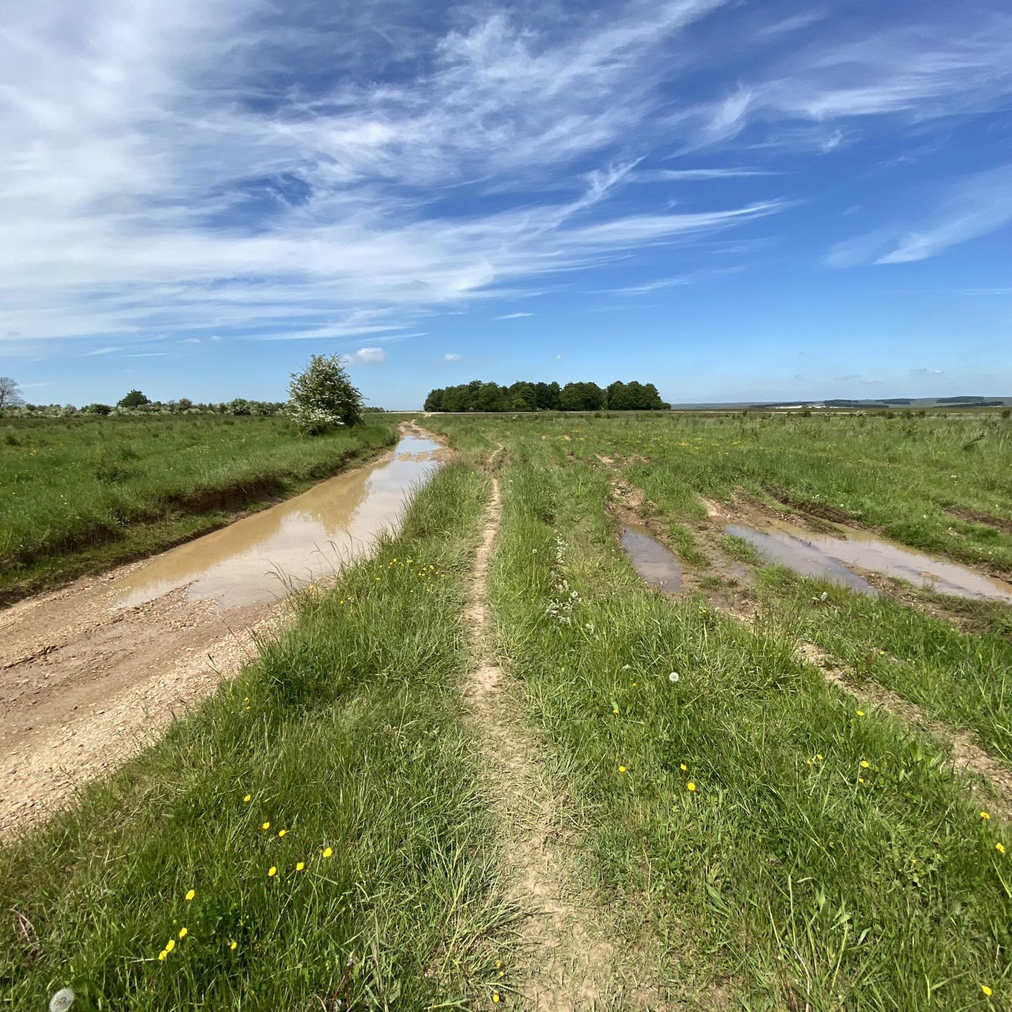
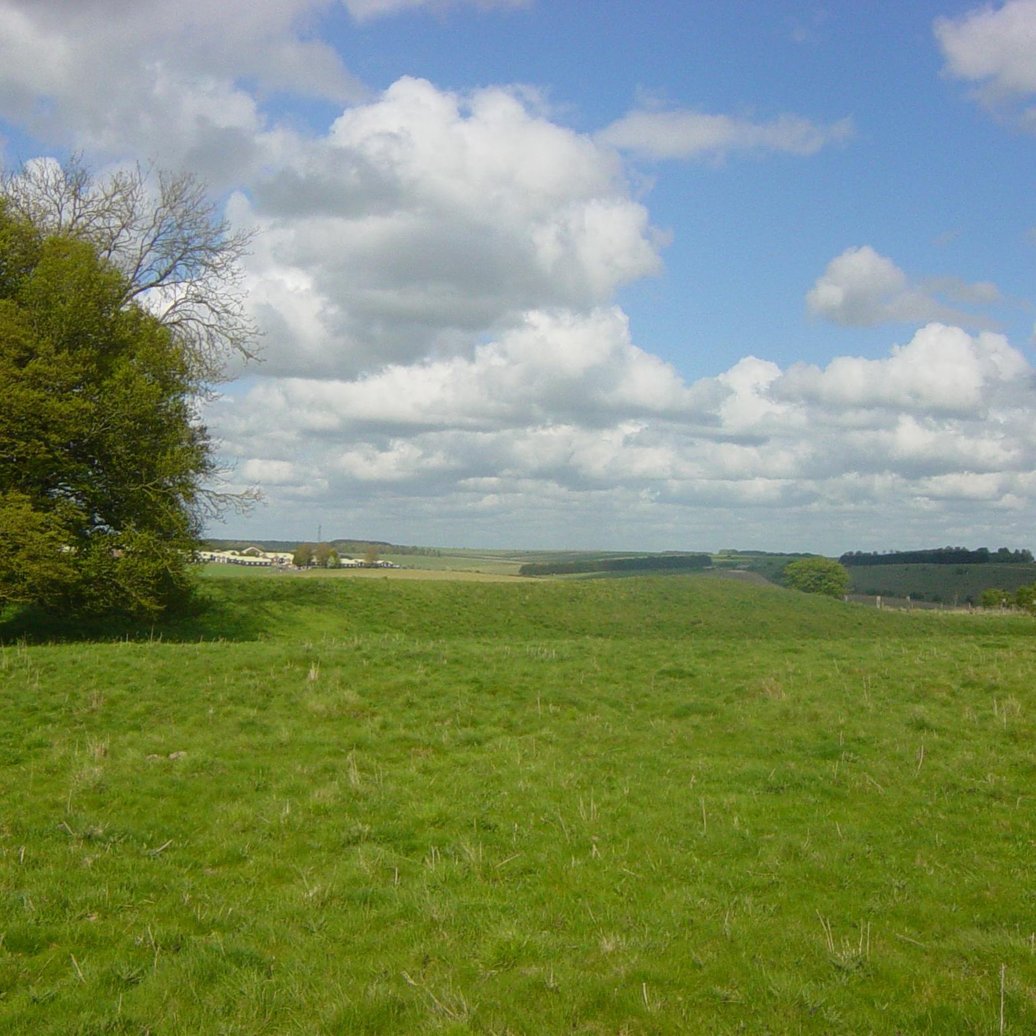
Gravel biking around Tilshead offers routes across the expansive Salisbury Plain, characterized by rolling chalk downs and open landscapes. The region features a network of bridleways and byways, providing varied terrain for gravel cyclists. These paths often traverse agricultural land and connect small villages within the Wylye Valley. The elevation changes are generally moderate, with some longer climbs on the more challenging routes.
Best gravel bike trails around Tilshead
- The most popular gravel bike trail is Wylye Valley Quiet Road…
Last updated: July 16, 2026
5.0
(4)
77
riders
62.3km
04:23
730m
730m
Hard gravel ride. Very good fitness required. Mostly paved surfaces. Suitable for all skill levels.
5.0
(1)
8
riders
64.3km
04:11
830m
830m
Hard gravel ride. Very good fitness required. Mostly paved surfaces. Suitable for all skill levels.

Sign up for free
4.5
(2)
12
riders
Hard gravel ride. Very good fitness required. Mostly paved surfaces. Suitable for all skill levels.
7
riders
Hard gravel ride. Very good fitness required. Mostly paved surfaces. Suitable for all skill levels.
6
riders
30.4km
01:57
380m
380m
Moderate gravel ride. Good fitness required. Mostly paved surfaces. Suitable for all skill levels.
Get access to more routes and recommendations from other explorers.
Sign up for free
Already have an account?
Our route recommendations are based on thousands of hikes, rides, and runs completed by other people on komoot.
Start today with a free account
Your next adventure awaits.
Login or Signup


Tips from the Community

The gardens of Stourhead are among the most famous 18th-century English landscape gardens and, for me, one of the most beautiful I have seen so far. The centerpiece is a large, artificially created lake, around which winding paths, temples, bridges, grottoes, and rare trees extend. The layout was designed so that new picturesque views open up at every turn of the path.
1
0

White Horse Westbury from Trowbridge Hilperton
0
0


A great view point, even on a murky day. As well as the White Horse, there is Bratton Camp, an old hill fort and the art installation behind.
0
0
Lovely ride - mostly quiet roads and tracks... Bath Arms good place to stop for a coffee. Good lunch in the White Hart after the ride.
0
0
mix of gravel and road best on a mountain bike
0
0

Good climb, was across fields but fine today as they’ve been harvested. Might have been tricky earlier in the year
0
0
Smooth surface climb at a steady gradient, very nice.
0
0
Frequently Asked Questions
What is the general difficulty level of gravel bike trails around Tilshead?
The gravel biking routes around Tilshead primarily cater to moderate to difficult skill levels. You'll find 6 moderate routes and 5 difficult routes, offering varied challenges across the chalk downs and plains.
What are the typical distances of gravel bike trails in the Tilshead area?
Gravel bike trails in the Tilshead area vary in length, with many routes being quite substantial. For example, the Wylye Valley Quiet Road – Honeypot Lane Trailhead loop from Codford is 38.7 miles (62.3 km), and the Imber Range Path – Salisbury Plain Perimeter Path loop from Enford covers 39.9 miles (64.3 km). There are also shorter options, such as the Old Chalk Way Detour – Tank Crossing loop from Enford at 18.9 miles (30.4 km).
Are there any beginner-friendly gravel bike routes in Tilshead?
While Tilshead's gravel trails are generally moderate to difficult, there are no routes specifically classified as 'easy' in this guide. However, some of the moderate routes, like the Old Chalk Way Detour – Tank Crossing loop from Enford, might be suitable for beginners looking for a slightly shorter challenge, keeping in mind the terrain can still be demanding.
What options are available for advanced gravel bikers in Tilshead?
Advanced gravel bikers will find plenty to challenge them around Tilshead. Many routes feature significant distances and elevation changes. Consider the Imber Range Path – View from Westbury White Horse loop from West Lavington, which is 44.1 miles (71.0 km) long and offers extensive views across the chalk downs.
When is the best time of year to go gravel biking around Tilshead?
The best time for gravel biking around Tilshead is typically from spring through autumn (April to October). During these months, the weather is generally milder, and the trails are less likely to be muddy, making for a more enjoyable ride across the open plains and bridleways.
Can I go gravel biking in Tilshead during winter?
Gravel biking in Tilshead during winter is possible, but riders should be prepared for challenging conditions. The chalk trails can become very muddy and slippery, especially after rain or frost. It's advisable to check local weather forecasts and trail conditions before heading out and to ensure your bike is equipped for adverse terrain.
Are there scenic viewpoints or landmarks along the gravel bike trails?
Yes, the routes around Tilshead offer several scenic viewpoints and historical landmarks. Many trails provide extensive views across the open Salisbury Plain. You might also catch distant views of the iconic Stonehenge or the Westbury White Horse, depending on the route. The area is rich in ancient history, with sites like Cursus Barrows also nearby.
Are there circular gravel bike routes available around Tilshead?
Yes, many of the gravel bike routes around Tilshead are designed as circular loops, allowing you to start and finish at the same point. Examples include the Imber Range Path – View from Westbury White Horse loop from Market Lavington and the Old Chalk Way Detour – Tank Crossing loop from Enford.
What do other gravel bikers enjoy the most about gravel biking in Tilshead?
The komoot community highly rates the gravel biking experience around Tilshead, with an average score of 4.7 stars from over 9 reviews. Riders often praise the expansive open landscapes, the quiet valley roads, and the varied terrain that makes for an engaging ride across the Salisbury Plain.
How many gravel bike trails are there in Tilshead?
There are over 10 gravel bike trails available around Tilshead, offering a good selection for exploring the region's unique landscape. These routes range from moderate to difficult in terms of challenge.
Are the gravel trails around Tilshead suitable for families?
Given that most routes are classified as moderate to difficult, and often cover significant distances with elevation changes, the gravel trails around Tilshead might be challenging for younger children or families new to gravel biking. Families with older, experienced riders may find suitable options, but it's important to review individual route details carefully.
Most popular attractions around Tilshead

Get inspired with the komoot mobile app


Explore more
Browse the best Gravel rides in other regions.
