The best gravel rides around Manningford
4.5
(2)
43
riders
11
rides
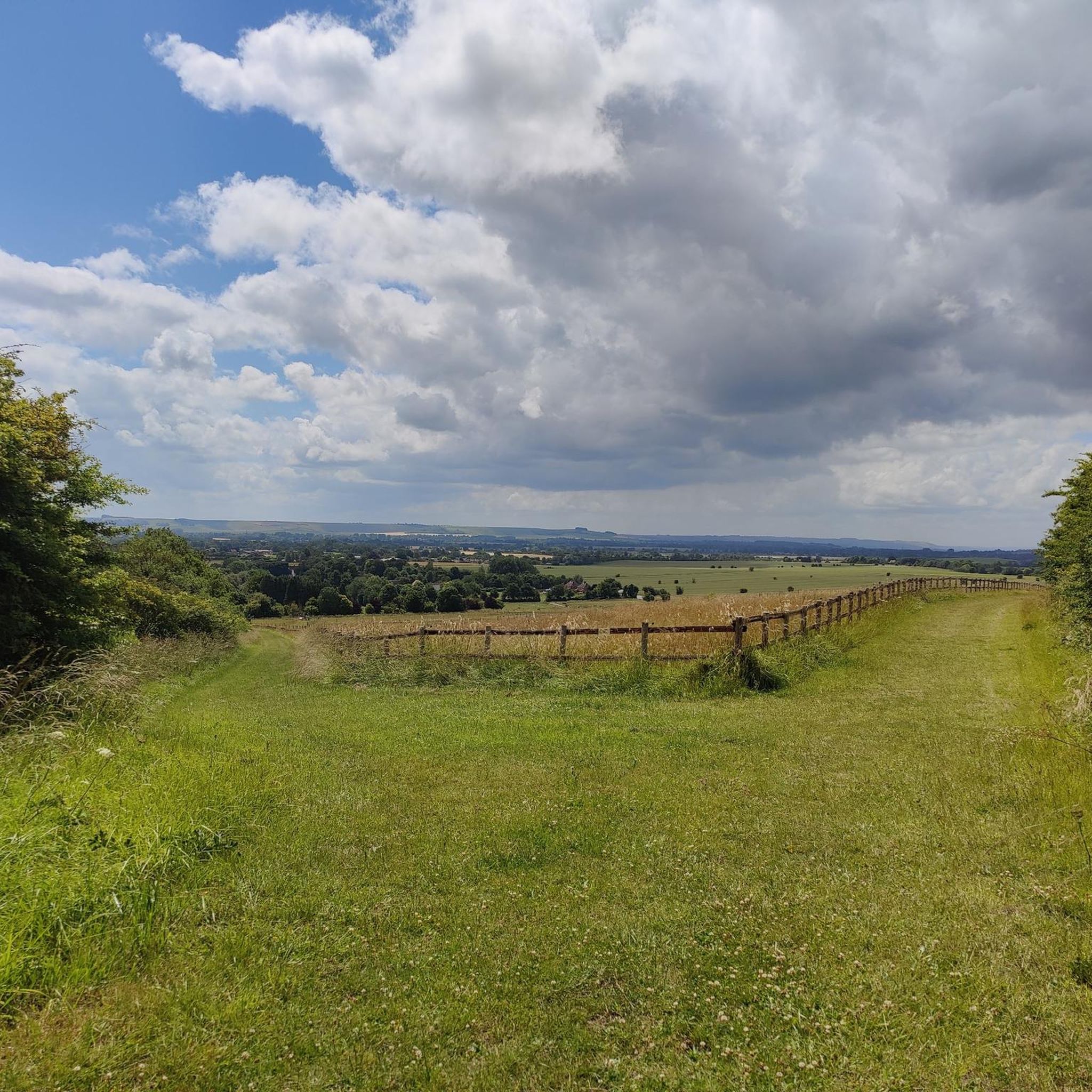
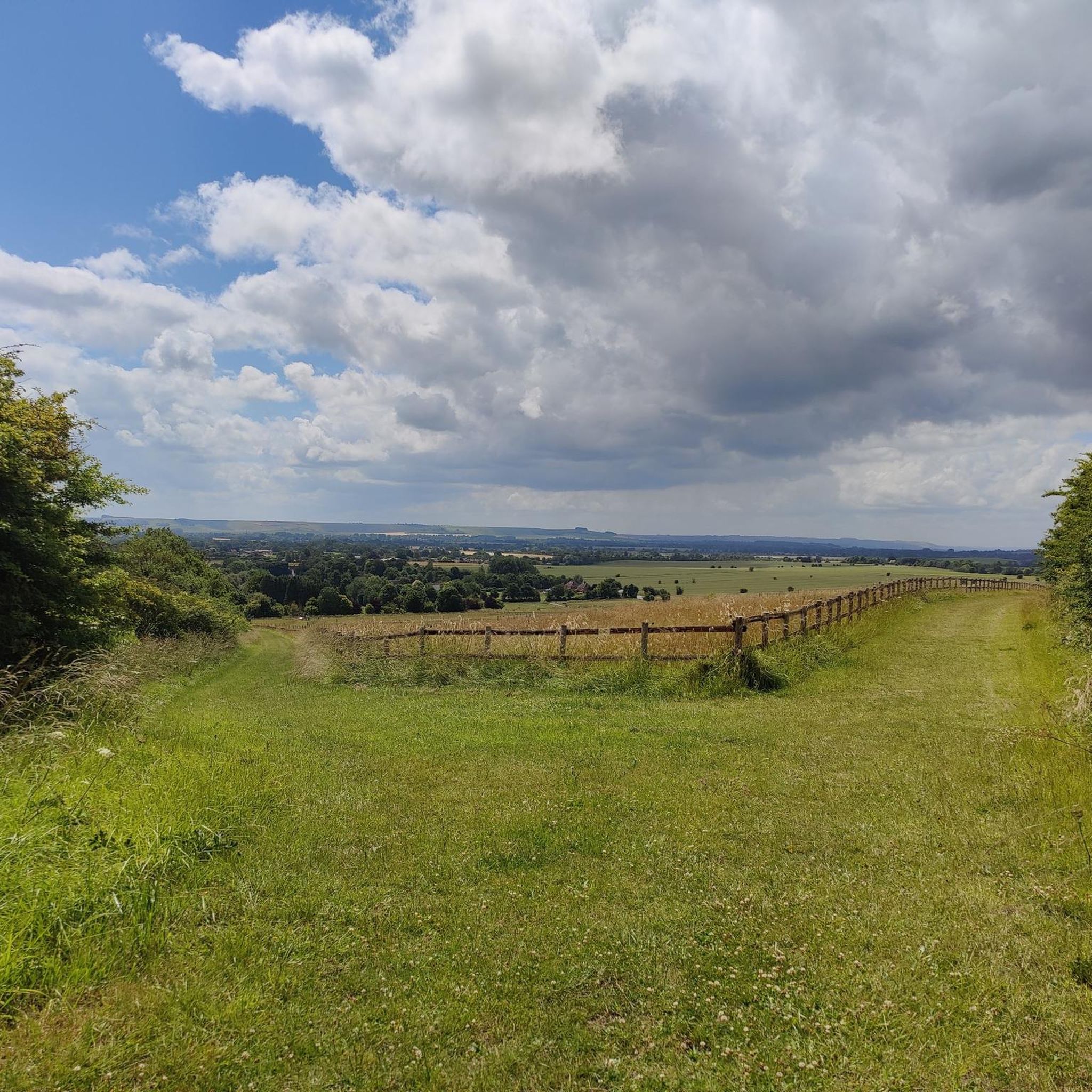
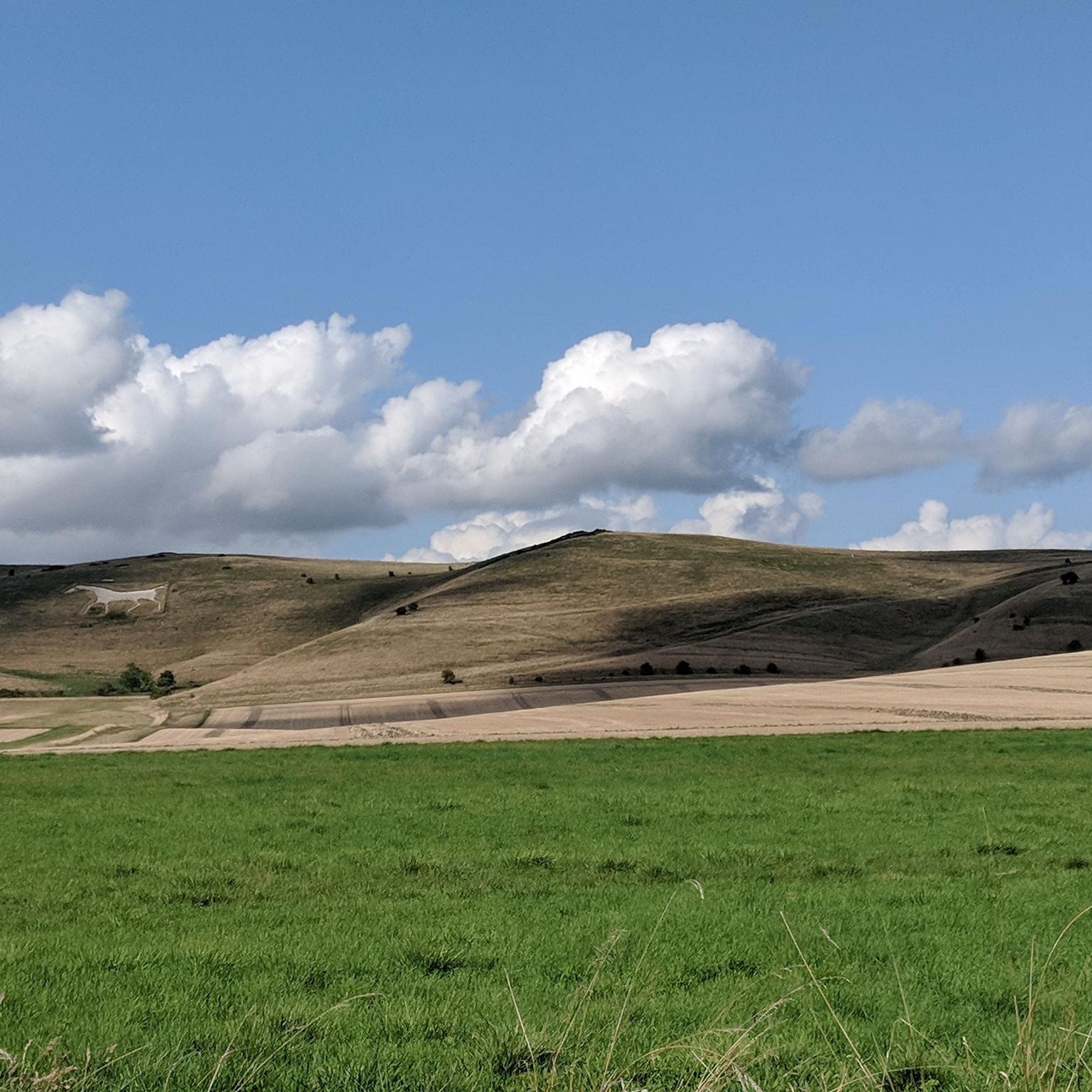
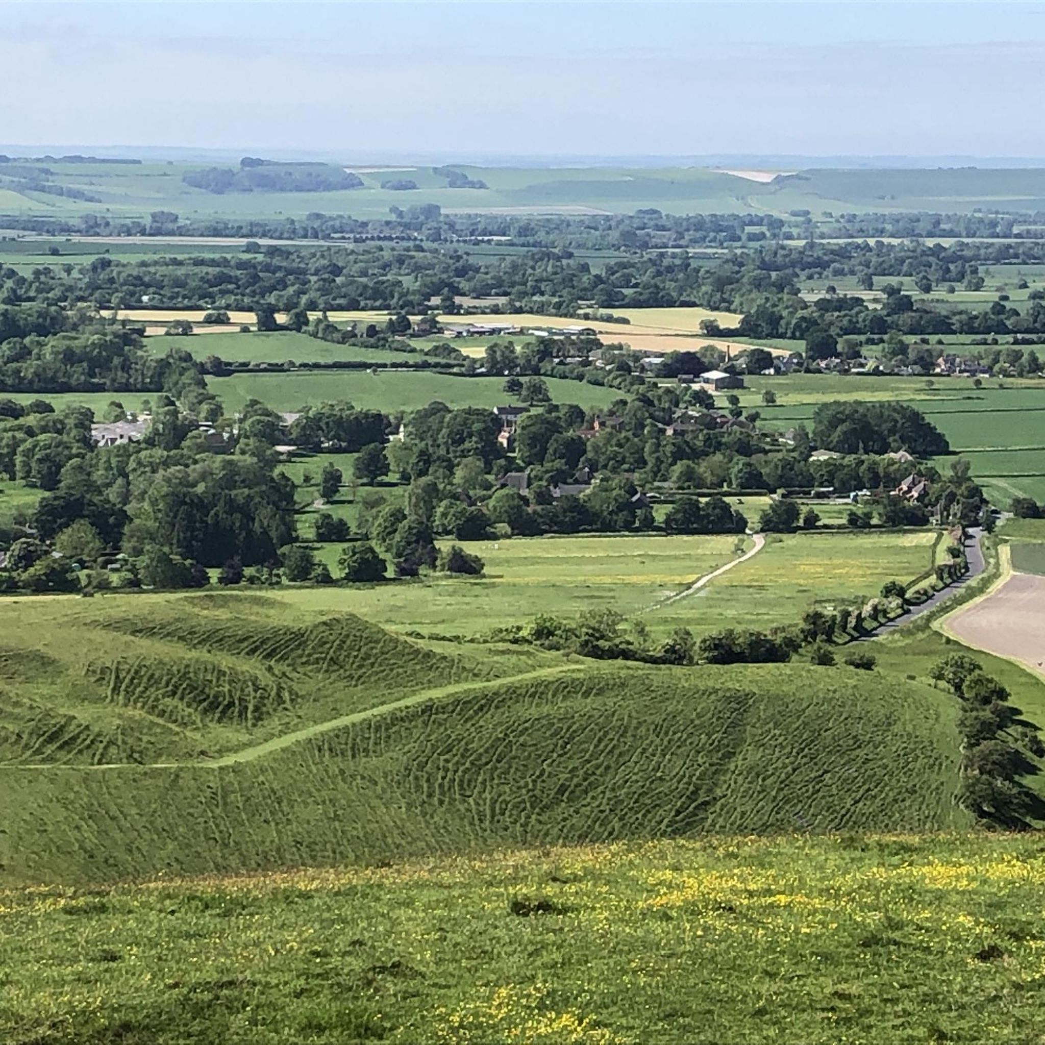
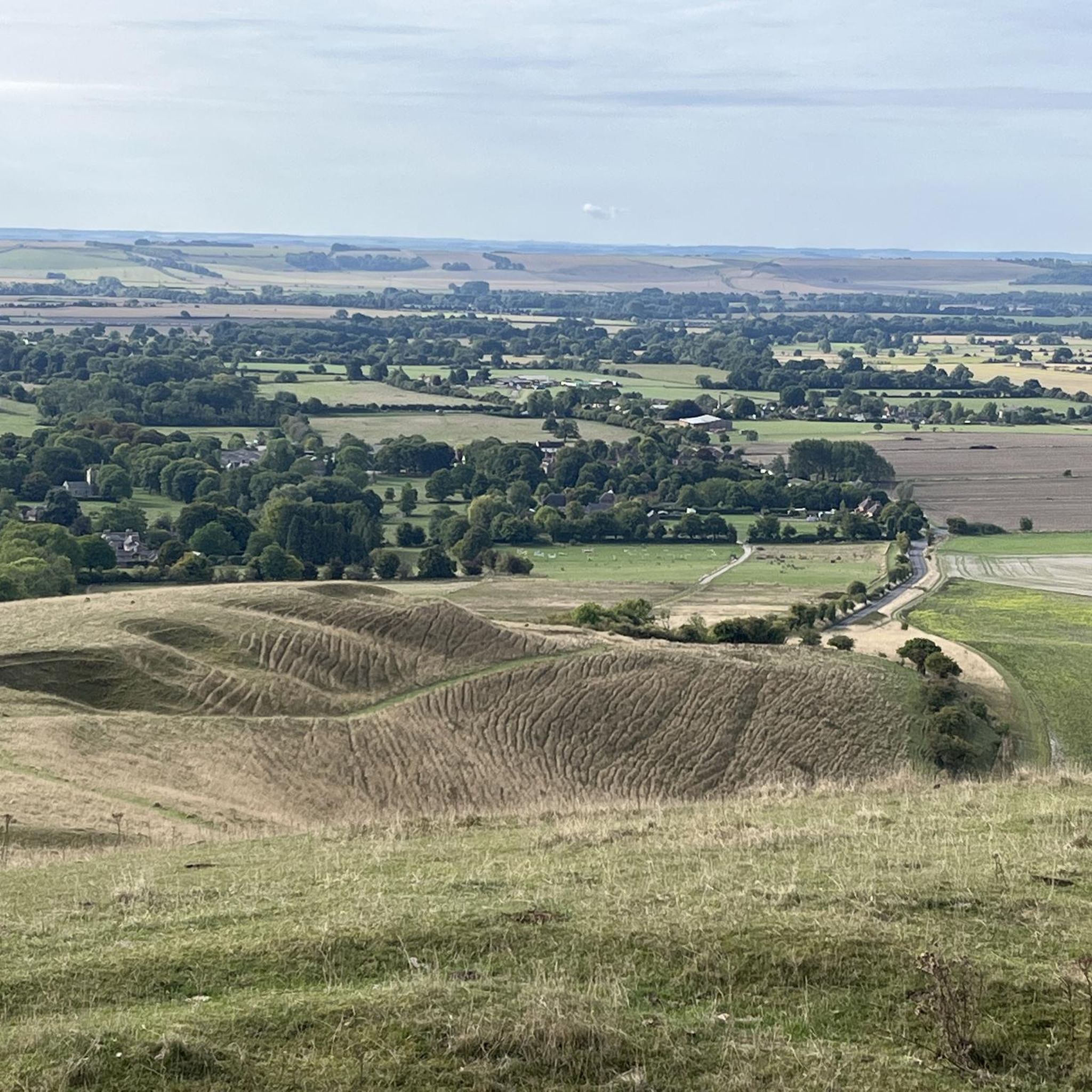
Gravel biking around Manningford features routes across the expansive Salisbury Plain, characterized by open byways and ancient chalk paths. The terrain includes rolling hills and agricultural landscapes, offering varied surfaces suitable for gravel bikes. Elevations are moderate, with routes often traversing historical tracks and military training areas. The region provides a network of trails that connect villages and offer views of the surrounding countryside.
Best gravel bike trails around Manningford
- The most popular gravel bike trail is Salisbury Plain Perimeter…
Last updated: July 16, 2026
4.0
(1)
12
riders
43.8km
02:54
490m
490m
Hard gravel ride. Very good fitness required. Mostly paved surfaces. Suitable for all skill levels.
5.0
(1)
8
riders
64.3km
04:11
830m
830m
Hard gravel ride. Very good fitness required. Mostly paved surfaces. Suitable for all skill levels.

Sign up for free
7
riders
32.6km
02:04
330m
330m
Moderate gravel ride. Good fitness required. Mostly paved surfaces. Suitable for all skill levels.
6
riders
30.4km
01:57
380m
380m
Moderate gravel ride. Good fitness required. Mostly paved surfaces. Suitable for all skill levels.
2
riders
38.5km
02:39
520m
520m
Hard gravel ride. Very good fitness required. Mostly paved surfaces. Suitable for all skill levels.
Get access to more routes and recommendations from other explorers.
Sign up for free
Already have an account?
Our route recommendations are based on thousands of hikes, rides, and runs completed by other people on komoot.
Start today with a free account
Your next adventure awaits.
Login or Signup
Tips from the Community


mix of gravel and road best on a mountain bike
0
0

Be aware that after Stonhenge the route takes you down hill on a grass path and you terminate at a double gate beside the A303. The route then indicates to go up the hill to the left apparently on the A303. However, I believe that if you cross over the A303 again ( traffic is pretty slow here usually but do exercise great caution). I think there is a foot path the other side of the A303 that you can ride on in safety up the hill before crossing back over to follow the track again I missed this foot path and rode on the verge, not as nice.
0
0
Fantastic summer ride. Highly recommended, just so beautiful on a warm sunny day. Navigation can be a little tricky but just use common sense. Such great views and such remote places. Really special. Also do stop at the lovely cafe at Berwick St James, a total surprise and a refreshment delight! This really is a great ride and one of the best that will stand out all summer. I used a hard tail mtb and would recommend this and quite tough tyres. As this is over a lot of pretty gnarly loose flint gravel which can give tyres a very hard time. Definitely carry spares and a pump. Great views of Stonehenge, couldn't believe the crowds and you want the little path just past the entrance road to the Stones not the entrance road. There is someone there usually to assist you. Cannot recommend this ride highly enough!. There is a steep hill just after Duck lane at Berwick St. James which tops out at 16% " Whitehill". Although the left hand fork on the approach leads to the same place.
0
0

Yeah unless you're a sicker for punishment this is proper gravel and should be ridden on 40mm+ tyres for best enjoyment. Some pretty steep inclines, it's not a flat ridgeway.
0
0

Outstanding views and the perfect place for a midride picnic or chill.
1
0

Frequently Asked Questions
How many gravel bike trails are available around Manningford?
There are over a dozen gravel biking routes around Manningford, offering a variety of experiences across Salisbury Plain.
Are there gravel bike trails suitable for beginners in Manningford?
While there are no routes specifically graded as 'easy,' Manningford offers several moderate gravel bike trails. These routes typically feature rolling hills and varied surfaces, making them suitable for riders with some gravel biking experience. An example is the Old Chalk Way Detour – Old Marlborough Road Byway loop from Tidworth, which is 20.2 miles long and rated moderate.
What kind of terrain can I expect on gravel bike trails in Manningford?
Gravel biking around Manningford is characterized by expansive Salisbury Plain, featuring open byways, ancient chalk paths, and rolling agricultural landscapes. You'll encounter varied surfaces, historical tracks, and military training areas, with moderate elevations throughout the region.
Are there any advanced gravel bike routes in Manningford?
Yes, Manningford has several challenging routes for experienced gravel bikers. These often involve longer distances and more significant elevation changes across the open landscapes of Salisbury Plain. Consider the Imber Range Path – Salisbury Plain Perimeter Path loop from Enford, a difficult 39.9-mile path, or the Old Marlborough Road Byway – View of Salisbury Plain loop from Tidworth, which is 38.5 miles long and also rated difficult.
What is the best time of year for gravel biking in Manningford?
The open byways and chalk paths of Salisbury Plain are generally accessible year-round. Spring and autumn offer pleasant temperatures and vibrant scenery. While winter riding is possible, be prepared for potentially muddy conditions on unpaved sections and colder, exposed stretches across the plain.
Are there any circular gravel bike routes in Manningford?
Many of the gravel bike routes in Manningford are designed as loops, allowing you to start and finish at the same point. For example, the Salisbury Plain Perimeter Path – Redhorn Hill Byway loop from Upavon is a popular circular option, as is the Old Chalk Way Detour – Tank Crossing loop from Enford.
What kind of attractions or landmarks can I see along the gravel bike trails?
The region around Manningford is rich in historical and natural landmarks. While riding, you might encounter ancient sites like Silbury Hill or West Kennet Long Barrow. Natural viewpoints such as Walkers Hill or Milk Hill offer expansive views of the plain and surrounding countryside.
What do other gravel bikers enjoy the most about gravel biking in Manningford?
The area is highly rated by the komoot community, with an average score of 4.5 stars. Reviewers often praise the extensive network of open chalk byways, the sense of remoteness on Salisbury Plain, and the opportunity to explore historical tracks and varied agricultural landscapes.
Are there any family-friendly gravel biking options in Manningford?
Given that all routes are graded moderate or difficult, gravel biking in Manningford is generally more suited for families with older children or those who are already comfortable with longer distances and varied terrain. There are no specifically 'easy' routes designed for very young children.
Where can I find parking for gravel bike trails in Manningford?
Many routes start from villages like Upavon, Enford, or Tidworth, where you can often find roadside parking or small public car parks. Always check local signage for parking restrictions and availability before you set out.
Are there pubs or cafes near the gravel biking routes in Manningford?
The routes often connect or pass through small villages in the region. You can typically find traditional pubs or small cafes in these settlements, offering opportunities for refreshments and breaks during your ride. It's advisable to check opening times, especially in smaller, more remote villages.
Most popular attractions around Manningford

Get inspired with the komoot mobile app


Explore more
Browse the best Gravel rides in other regions.
