The best gravel rides around Los Realejos
4.5
(8)
128
riders
12
rides
Gravel biking around Los Realejos offers diverse terrain on Tenerife's northern coast, characterized by its volcanic origin and significant elevation changes. The region features rugged landscapes with routes often including climbs exceeding 1,000 meters, transitioning from rocky paths to smooth red soil and black sand. Extensive laurel forests and Canary Island pine forests within the Corona Forestal Natural Park provide unique environments for exploration. Impressive ravines and dramatic coastal cliffs add to the challenging and picturesque nature of the trails.
Best gravel bike trails around Los Realejos
- The most popular gravel bike trail is Gravel in Tenerife from Aguamansa to La Montañeta, a 28.1 miles (45.1 km) trail that takes 4 hours 52 minutes to complete. This difficult route traverses varied volcanic terrain with significant elevation gain.
- Another top favourite among local gravel bikers is Forest double-track – View of Teide loop from La Orotava, a difficult 34.8 miles (56.0 km) path. This route offers extensive views of Teide and winds through dense pine forests.
- Local gravel bikers also love the La Caldera Recreation Area – Galería Pino Soler loop from Parking La Caldera, a 10.5 miles (16.9 km) trail leading through forested recreation areas, often completed in about 1 hour 39 minutes.
- Gravel biking around Los Realejos is defined by volcanic terrain, dense pine forests, and dramatic coastal views. The network offers options for both moderate and difficult routes, catering to various skill levels.
- The routes in Los Realejos are highly rated by the komoot community with an average score of 4.8 stars from more than 4 reviews. More than 90 gravel bikers have used komoot to explore Los Realejos's varied terrain.
Last updated: November 2, 2026
5.0
(1)
2
riders
45.1km
04:52
800m
1,000m
Hard gravel ride. Very good fitness required. Mostly paved surfaces.
4.0
(1)
17
riders
30.2km
02:35
580m
580m
Hard gravel ride. Very good fitness required. Mostly paved surfaces.

5
riders
56.4km
05:58
1,950m
1,950m
Hard gravel ride. Very good fitness required. Mostly paved surfaces.
4.7
(3)
5
riders
Moderate gravel ride. Good fitness required. Mostly paved surfaces.
7
riders
36.6km
03:51
1,090m
1,090m
Hard gravel ride. Very good fitness required. Mostly paved surfaces.
Get access to more routes and recommendations from other explorers.
Already have an account?
Our route recommendations are based on thousands of hikes, rides, and runs completed by other people on komoot.
Start today with a free account
Your next adventure awaits.
Popular around Los Realejos
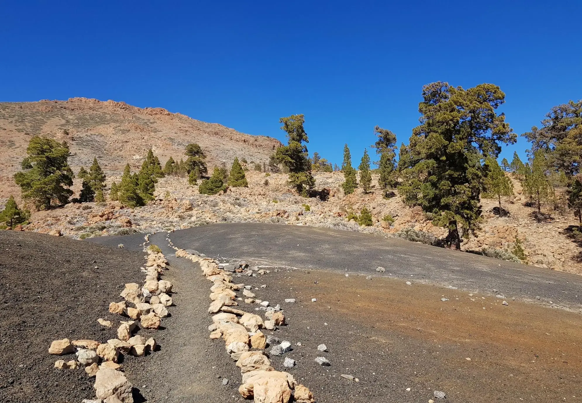
From the coast to the Teide - Tenerife Bluetrail by UTMB
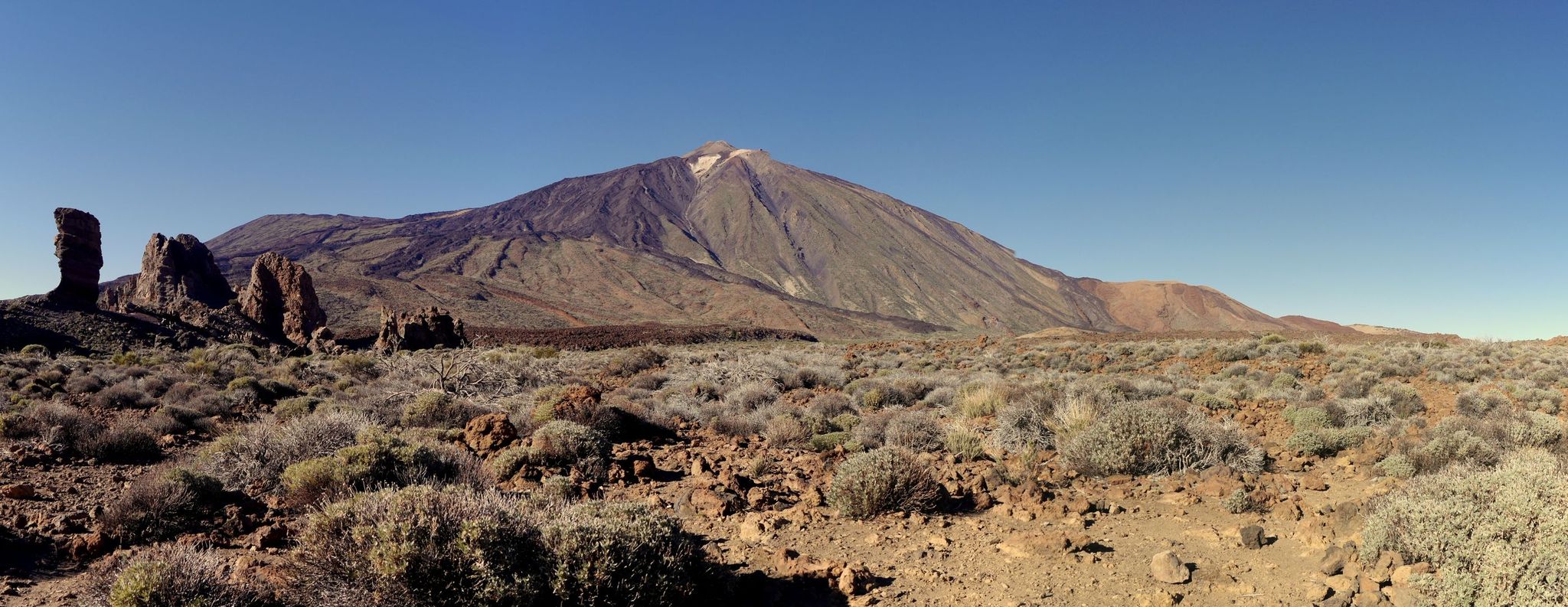
The giant of Tenerife — around Teide by road bike
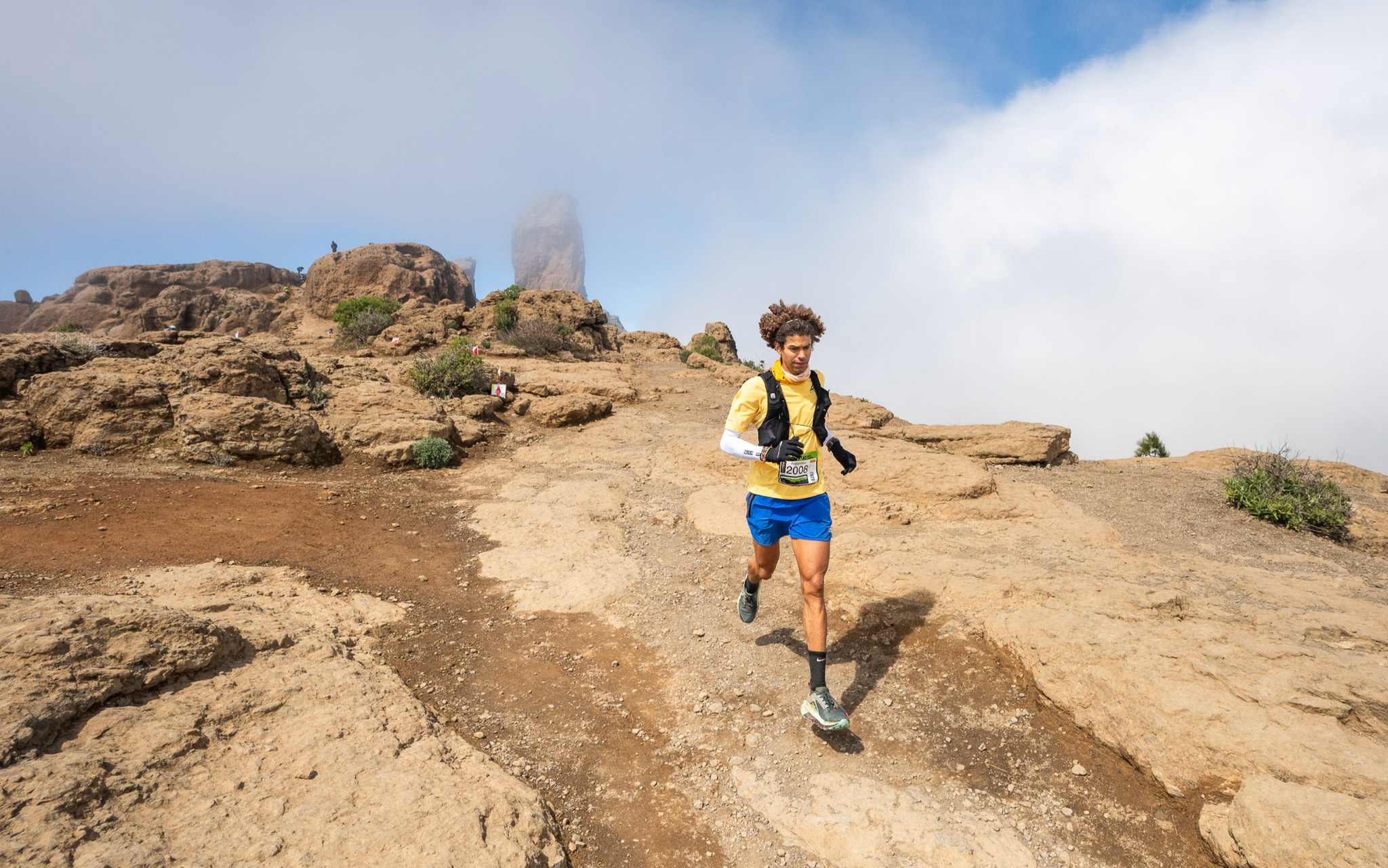
Trail on the Canary Islands – discover the legendary races!
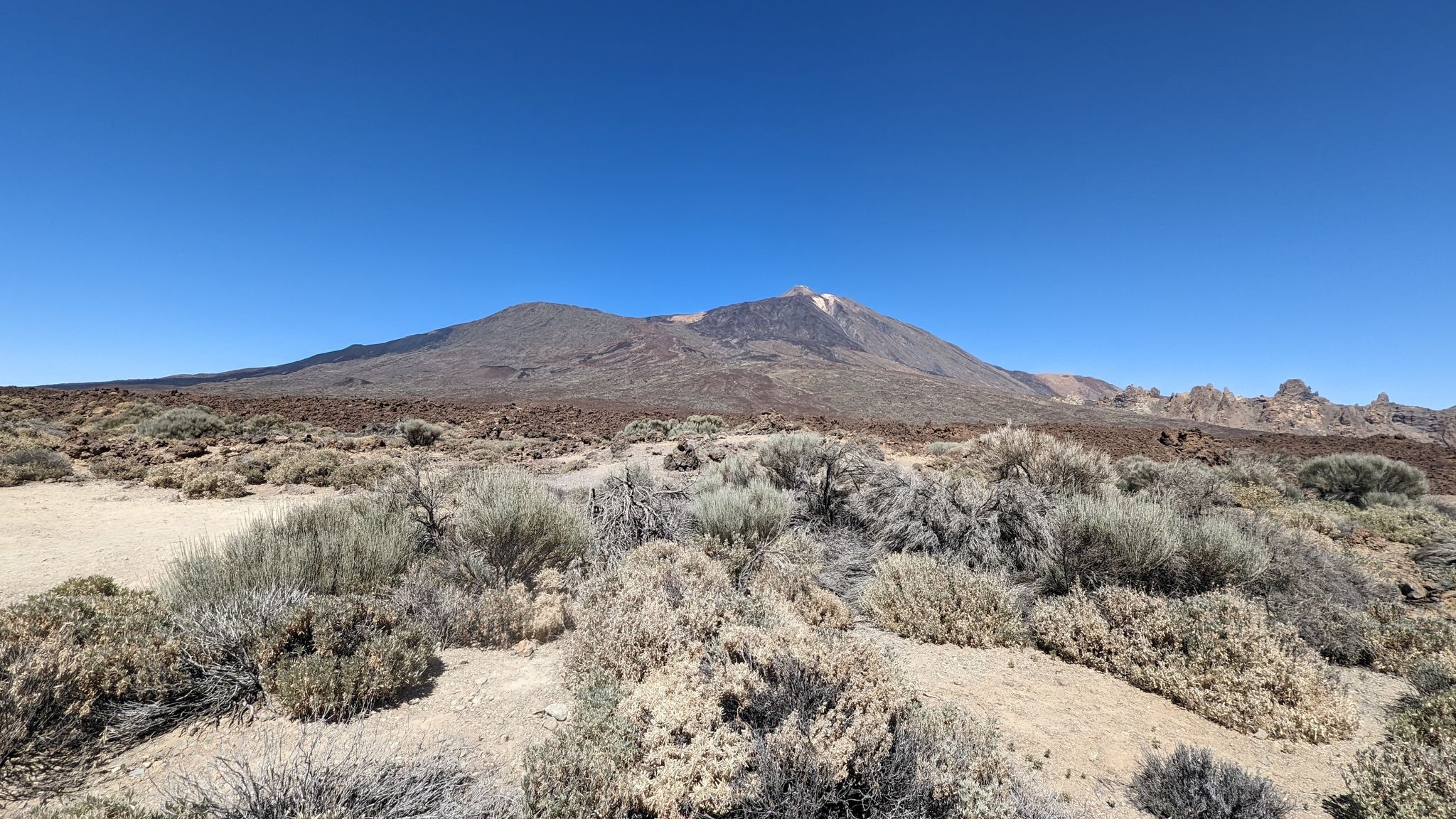
The green heart of Tenerife – Natural Path of Anaga-Chasna

Trail running in Tenerife – dreamy routes between sea and mountain
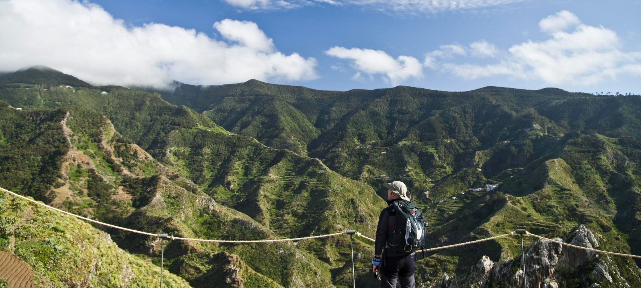
Tenerife's interior – discover fascinating hiking routes
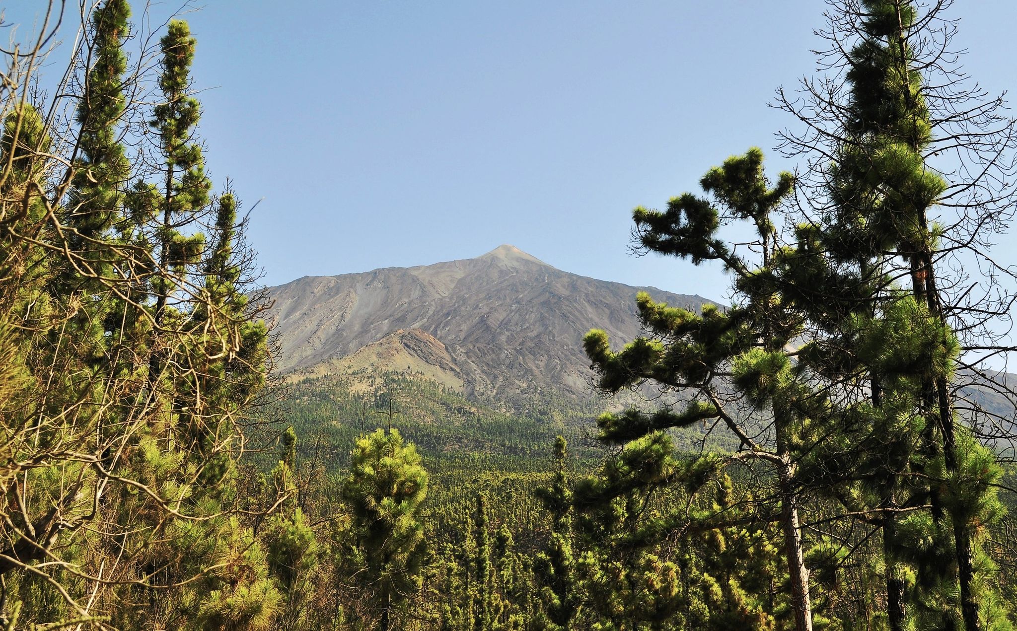
An island pilgrimage – Camino de Santiago de Tenerife
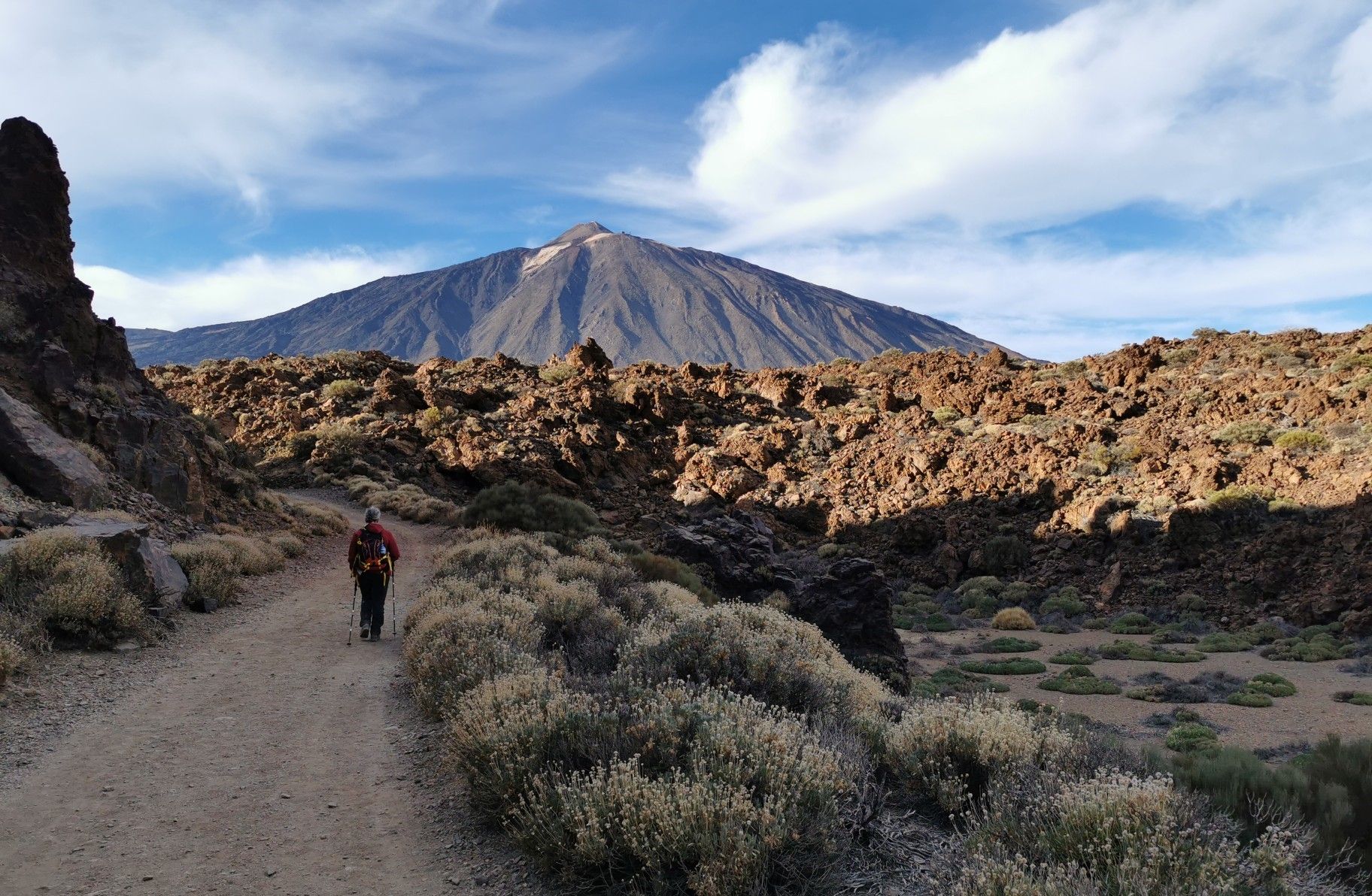
Tenerife from north to south – Camino Natural de Anaga-Chasna
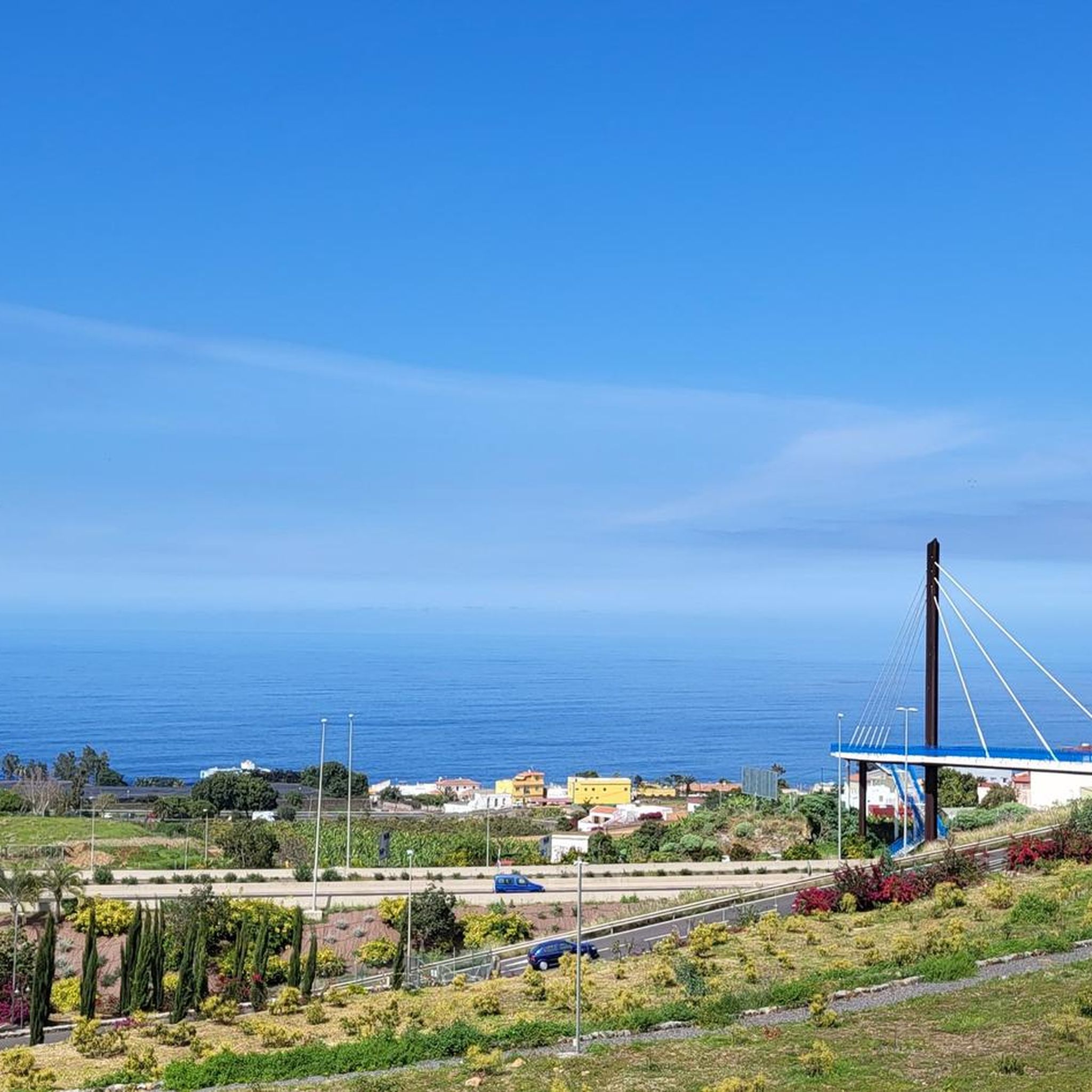
Hiking around Los Realejos
Running Trails around Los Realejos
Other adventures around Los Realejos


Tips from the Community

This viewpoint offers a spectacular panoramic view of the Anaga Mountains and its laurel-covered slopes. It's an ideal place to take photos and appreciate Tenerife from above.
0
0

Beautiful views, easy access from Puerto de la Cr5uz
0
0

Pino Soler Gallery, a gallery to extract water
0
0

A gigantic view of the mountains all the way to the sea. Great to drive.
0
0

Popular stopping point for all hikes in the area. Simple, tasty and inexpensive typical food.
0
0

The El Lagar camping area is located at an altitude of 1,000 meters, in the heart of the humid forest of Icod de los Vinos. It has plots where you can sleep in tents, an adapted vehicle or in a bivouac, although you must book in advance. You can also find toilets, showers and places to cook.
1
0
Roque Chico is a curious stone tower that rises up in the forest. The vegetation has occupied all the available space. The trees fill the environment and the humidity favors the proliferation of ferns, lichens and mosses that dye everything they cover in different shades of green.
2
0
Frequently Asked Questions
What kind of terrain can I expect on gravel bike trails in Los Realejos?
Los Realejos, situated on Tenerife's northern coast, offers a diverse and often challenging volcanic landscape. You'll encounter rugged, undulating terrain with significant elevation changes, including climbs exceeding 1,000 meters. The trails transition from rocky paths to smooth red soil and even black sand, particularly near the Chinyero volcano natural reserve. Many routes also traverse dense pine forests and lush laurel forests within the Corona Forestal Natural Park.
Are there any beginner-friendly gravel bike routes in Los Realejos?
While many routes in Los Realejos are challenging, there are options suitable for those seeking a more moderate experience. For example, the La Caldera Recreation Area – Galería Pino Soler loop from Parking La Caldera is a moderate 10.5-mile (16.9 km) trail that leads through forested recreation areas, offering a less strenuous ride.
What are the best routes for experienced gravel bikers looking for a challenge?
Experienced gravel bikers will find plenty of demanding routes. The Gravel in Tenerife from Aguamansa to La Montañeta is a difficult 28.1-mile (45.1 km) trail with significant elevation gain across varied volcanic terrain. Another top choice is the Forest double-track – View of Teide loop from La Orotava, a difficult 34.8-mile (56.0 km) path offering extensive views of Teide and winding through dense pine forests.
Are there any circular gravel bike routes in Los Realejos?
Yes, several routes in the area are designed as loops, allowing you to start and finish at the same point. Examples include the La Caldera Recreation Area – Galería Pino Soler loop from Parking La Caldera and the Forest double-track – View of Teide loop from La Orotava. These are great for exploring without needing a return trip arrangement.
What natural features and viewpoints can I see along the gravel bike trails?
Los Realejos offers stunning natural beauty. Many routes provide panoramic vistas from viewpoints like the Mirador de La Corona, offering views of the Orotava Valley, the northern coast, and the Atlantic Ocean. You'll also ride through lush laurel forests and extensive Canary Island pine forests within the Corona Forestal Natural Park. Impressive ravines like the Ruiz Ravine and dramatic coastal cliffs are also prominent features. For iconic volcanic landscapes, routes often offer views towards Teide National Park, with highlights such as Roque Cinchado and the Pico Viejo Crater.
What do other gravel bikers enjoy most about gravel biking in Los Realejos?
The gravel biking routes in Los Realejos are highly rated by the komoot community, with an average score of 4.8 stars. Reviewers often praise the diverse volcanic terrain, the challenging climbs, and the breathtaking views of the Orotava Valley, the Atlantic, and Teide. The unique experience of riding through dense pine and laurel forests is also frequently highlighted.
Are there any places to stop for food or accommodation near the trails?
While specific cafes directly on every trail might vary, the region has options for refreshments and accommodation. For instance, the Parador de Las Cañadas del Teide is a notable restaurant in the vicinity. There are also several huts and shelters, such as the Altavista Refuge and Pedro Gil Hut, which can serve as rest points or overnight stays for longer adventures.
What is the best time of year for gravel biking in Los Realejos?
Tenerife generally enjoys a mild climate year-round, making gravel biking possible in most seasons. However, the northern coast, including Los Realejos, can experience more cloud cover and occasional rain, especially in winter. For the most consistently pleasant weather, spring and autumn are often ideal, offering comfortable temperatures and clear skies for enjoying the panoramic views. Always check local weather forecasts before heading out.
How many gravel bike trails are available in Los Realejos?
There are over 10 gravel bike routes documented in Los Realejos, catering to various skill levels. These include a mix of moderate and difficult trails, ensuring there's something for every gravel biking enthusiast.
Can I access the gravel bike trails using public transport or find parking easily?
While specific public transport links directly to every trailhead might be limited, Los Realejos is a well-connected municipality. Many routes, such as the La Caldera Recreation Area – Galería Pino Soler loop, start from designated parking areas like Parking La Caldera, making it convenient for those arriving by car. It's advisable to research specific trailhead access points and parking availability for your chosen route.
Are there any routes that offer views of Teide National Park?
Absolutely. Los Realejos's proximity to Teide National Park means many gravel routes offer spectacular views of Spain's highest peak and its surrounding volcanic landscapes. The Forest double-track – View of Teide loop from La Orotava is specifically designed to provide extensive views of Teide as it winds through dense pine forests.
Most popular routes around Los Realejos
Most popular attractions around Los Realejos

Get inspired with the komoot mobile app


Explore more
Browse the best Gravel rides in other regions.
