The best gravel rides around Reiningen
4.6
(51)
486
riders
98
rides
Gravel biking around Reiningen offers diverse terrain within the Grand Est region of France, characterized by its proximity to the Vosges mountains and the Thur River valley. The landscape features significant elevation changes, including mountain passes like Col Amic, and extends to lower-lying areas with riverine paths and lakes such as Michelbach Lake. This region provides a mix of unpaved roads and forest trails suitable for gravel biking.
Best gravel bike trails around Reiningen
- The most popular gravel bike trail…
Last updated: October 6, 2026
4.5
(6)
22
riders
70.9km
04:18
580m
580m
Hard gravel ride. Very good fitness required. Mostly paved surfaces. Suitable for all skill levels.
3.7
(3)
38
riders
41.0km
02:51
790m
790m
Hard gravel ride. Very good fitness required. Mostly paved surfaces. Suitable for all skill levels.

4.5
(2)
19
riders
25.4km
01:59
720m
720m
Hard gravel ride. Very good fitness required. You may need to push your bike for some segments of this route.
4.7
(6)
15
riders
Moderate gravel ride. Good fitness required. Mostly paved surfaces. Suitable for all skill levels.
12
riders
32.4km
02:21
120m
120m
Moderate gravel ride. Good fitness required. Mostly paved surfaces. Suitable for all skill levels.
Get access to more routes and recommendations from other explorers.
Already have an account?
Our route recommendations are based on thousands of hikes, rides, and runs completed by other people on komoot.
Start today with a free account
Your next adventure awaits.
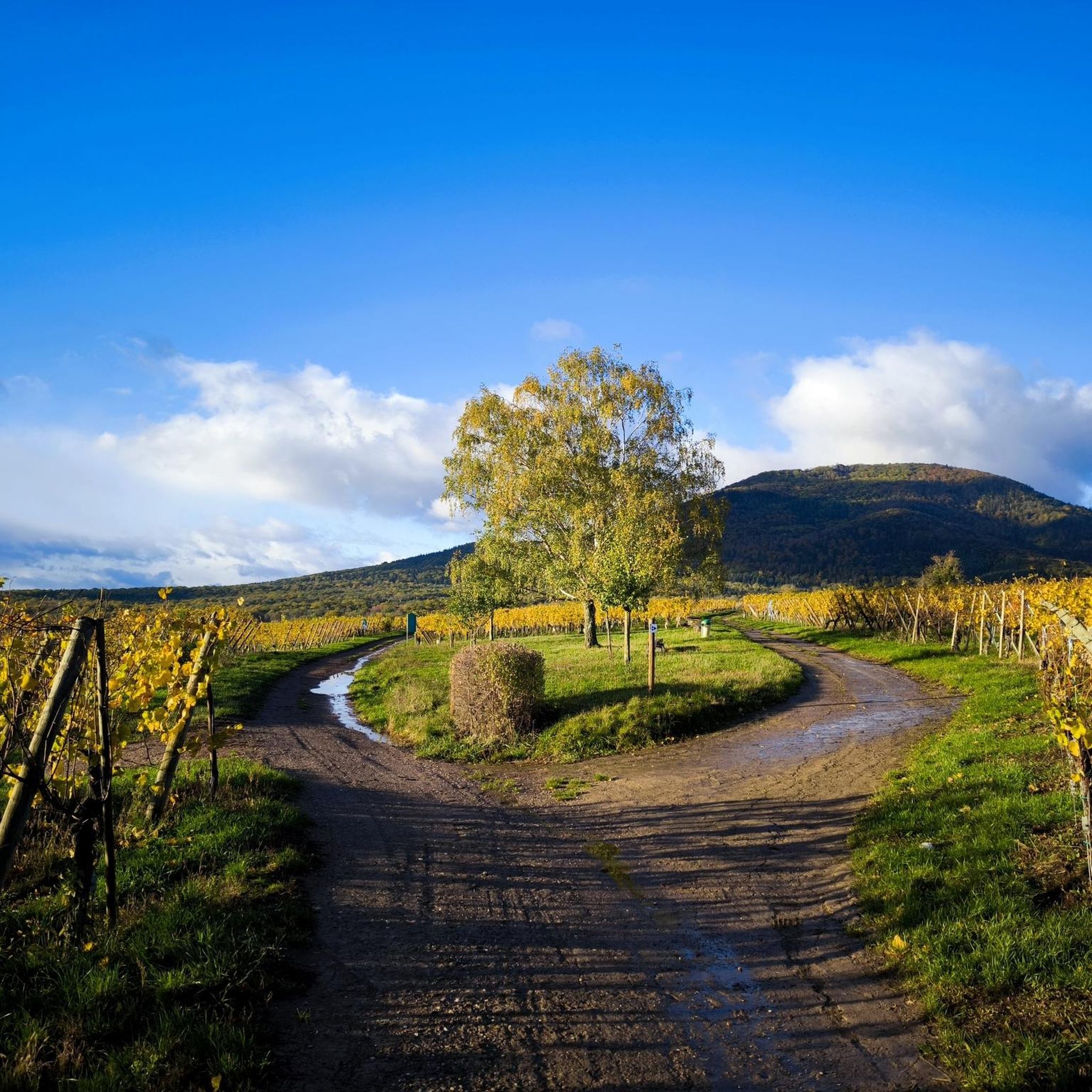
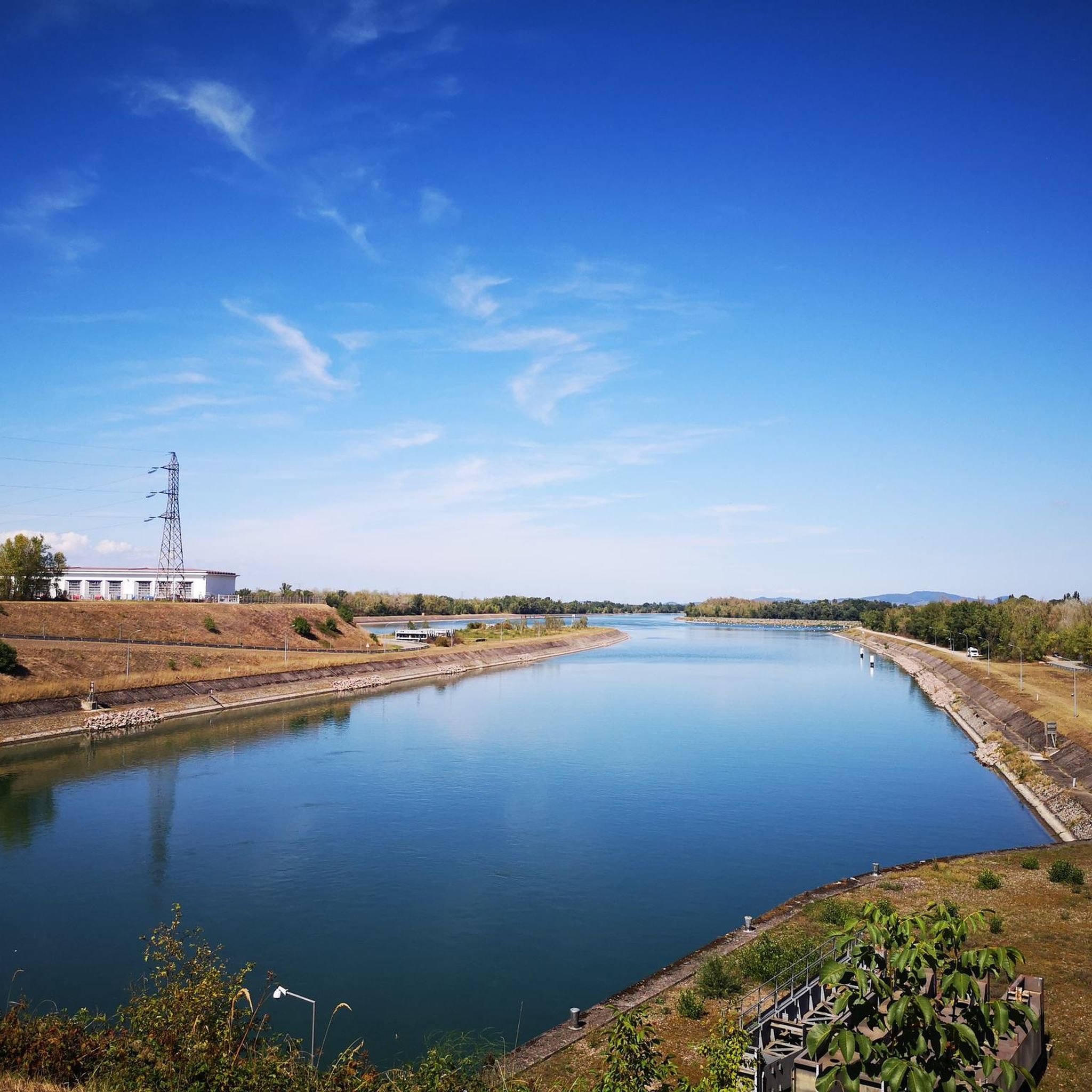
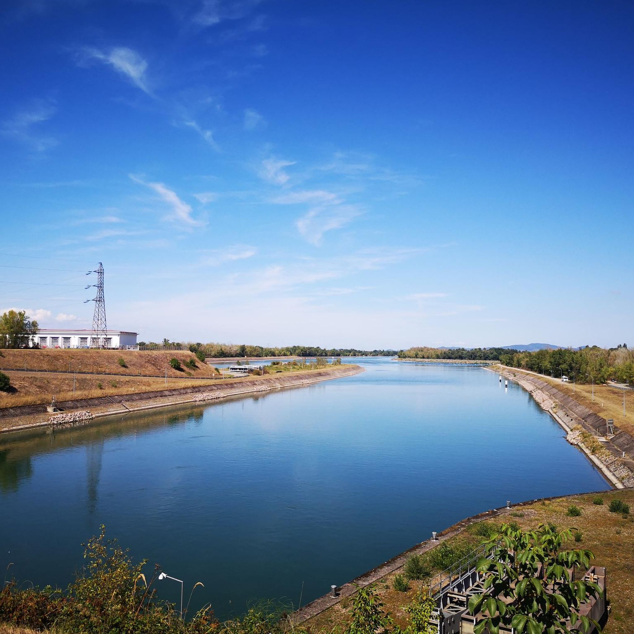
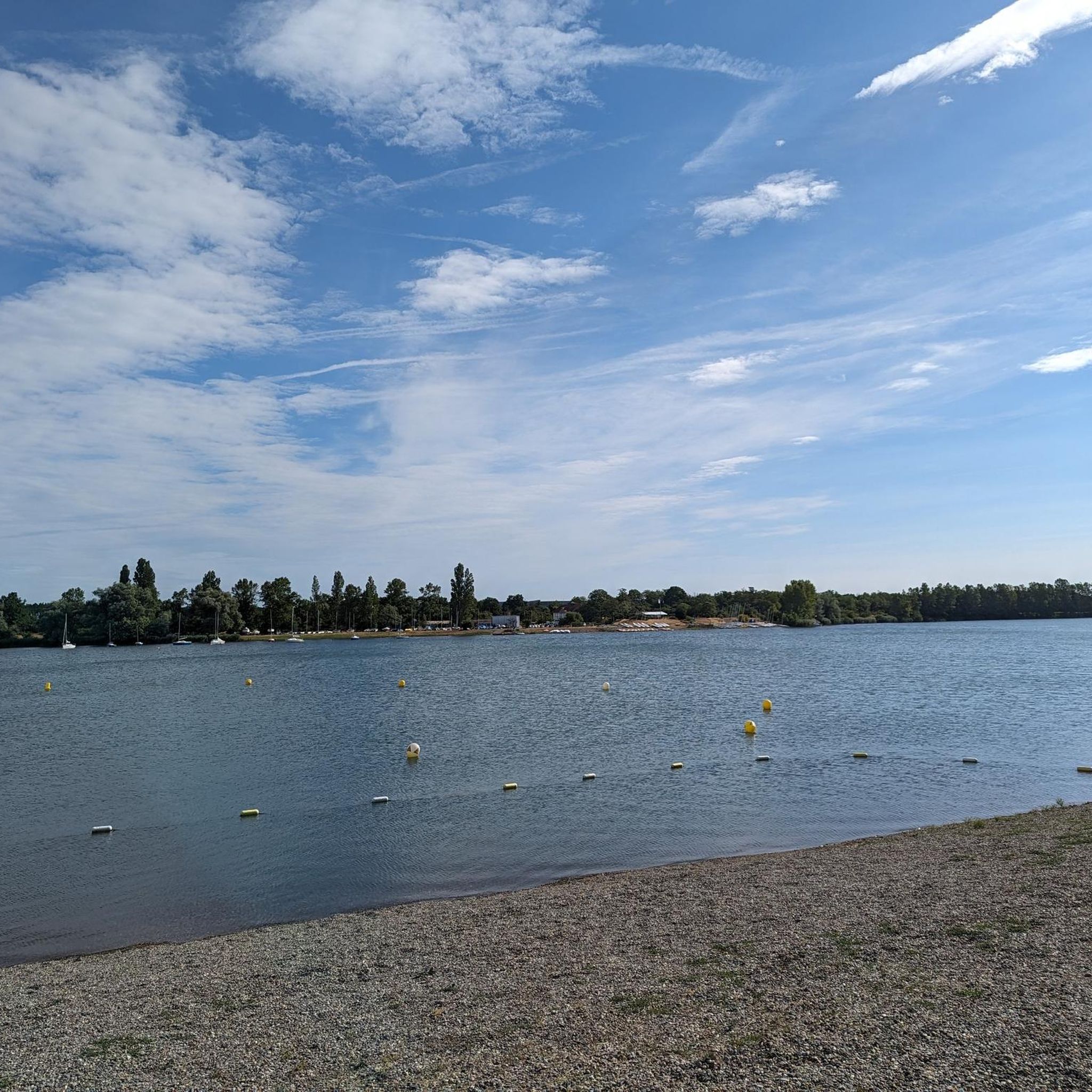
Tips from the Community

Anyone who wants to know more about this should visit this page: https://sundgaufront.pharmafix.com/index.php/interaktive-frontkarte
1
0

sights again and again towards Cernay
0
0

beautiful view there at the spot
0
0

The Cernay National Cemetery is a memorial dedicated to the soldiers who fell during the battles of Vieil-Armand and Steinbach in the summer of 1914. Created in 1920, it was designed to house the bodies exhumed from temporary military cemeteries in the region and was reorganized after World War II to include soldiers who died between 1940 and 1945. This cemetery contains 2,238 French bodies, as well as Czech, Russian, British, and Serbian combatants. Two ossuaries contain the remains of 938 combatants.
0
0

The oldest surviving mention of Lutterbach dates back to 735. It already had a church at that time. The village was dependent on the Murbach Abbey. From the beginning of the 14th century until the French Revolution, Lutterbach belonged to the Cistercian monastery of Lützel.
0
0

Great ascent route, away from the main roads, lots of forest = shade, moderate, steady climb between 6-9.5%, asphalt, few but great views
0
0

The gate was part of the city fortifications; the other two gates were demolished in the 19th century. Only the lower part of the Porte de Thann dates back to the 13th century; the superstructure with its battlements and battlements was added in the 16th century. After the destruction in the First World War, the city gate was restored, and only three of its four floors were rebuilt. A museum was established in the building (Wikipedia).
6
0
Frequently Asked Questions
How many gravel bike trails are available in Reiningen?
Reiningen offers a wide selection of gravel biking routes, with over 125 trails available. This includes a diverse range of difficulties, from easier paths to challenging mountain ascents.
What are the difficulty levels of gravel biking routes around Reiningen?
The gravel biking routes around Reiningen cater to various skill levels. You'll find 12 easy routes, 58 moderate routes, and 55 difficult routes, ensuring options for beginners and experienced riders alike. The terrain varies from riverside paths to high-altitude mountain trails.
Are there any loop gravel bike trails in Reiningen?
Yes, many gravel bike trails in Reiningen are designed as loops, allowing you to start and end at the same point. For example, the Ascent to Col Amic – Col Amic Pass loop from Graffenwald offers a challenging circular ride through varied landscapes.
When is the best time of year for gravel biking in Reiningen?
The Grand Est region, where Reiningen is located, generally offers pleasant conditions for gravel biking from spring through autumn. Summer provides warmer weather, while spring and autumn offer cooler temperatures and beautiful scenery. Winter riding might be possible on lower elevation paths, but higher mountain routes could be affected by snow or ice.
What kind of terrain can I expect on gravel bike trails in Reiningen?
Gravel biking in Reiningen features diverse terrain, from unpaved roads and forest trails to significant elevation changes. You'll encounter mountain passes like Col Amic, riverine paths along the Thur River, and routes around lakes such as Michelbach Lake. The landscape is characterized by its proximity to the Vosges mountains and the Thur River valley.
What natural sights can I see along the gravel bike trails in Reiningen?
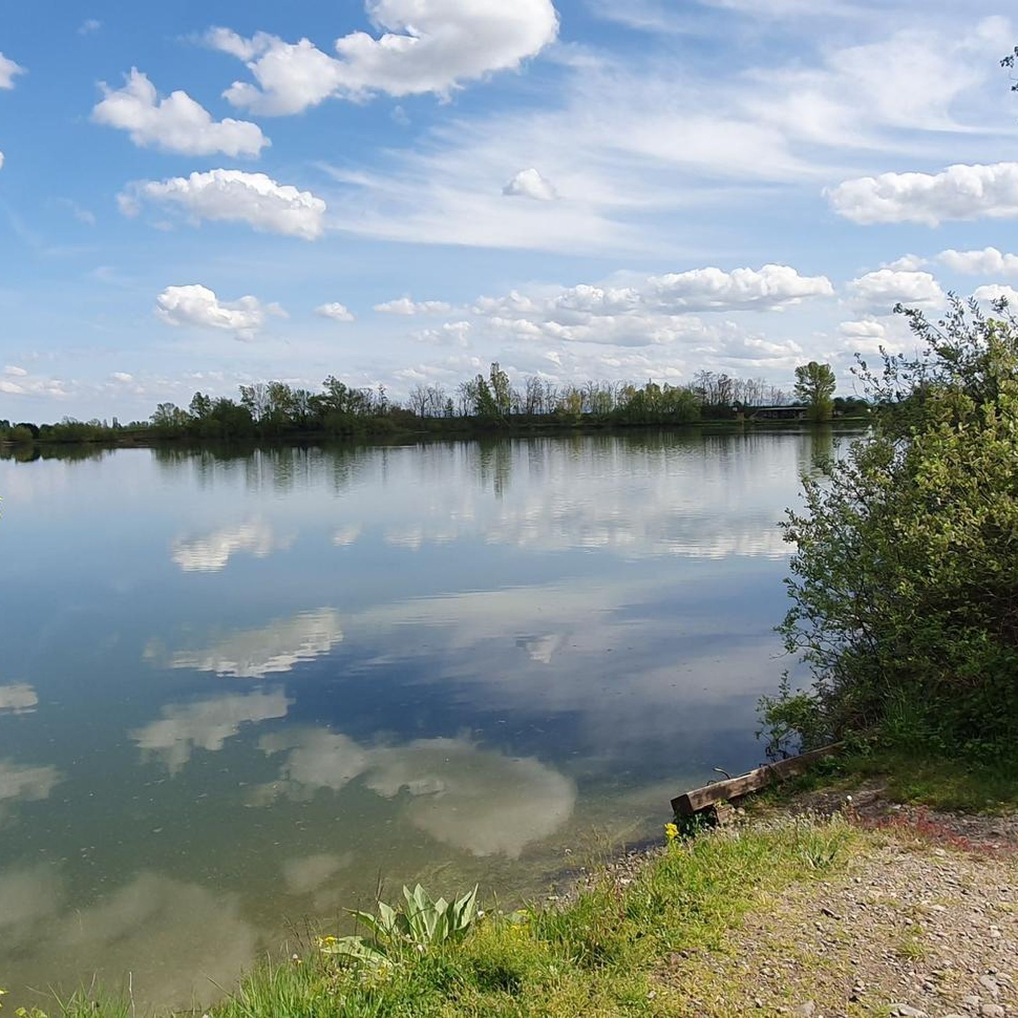
Many routes pass by beautiful natural features. You might encounter the serene Michelbach Lake, explore the unique Lower Rehfelsen Tunnels, or discover the Steinbach Square. The region's natural beauty is a highlight for many riders.
Are there any historical landmarks or interesting places to explore near the gravel routes?
Yes, the area around Reiningen has several interesting landmarks. You could pass by the historic Zillisheim Drawbridge and Lock No. 35, or even catch a glimpse of the intriguing The Witch's Eye (Engelbourg Castle). These add a cultural dimension to your ride.
Are there options for advanced gravel bikers looking for a challenge?
Absolutely. Reiningen offers challenging routes with significant elevation gains, perfect for advanced gravel bikers. The Grand Ballon – Hohneck loop from Cernay, for instance, is a difficult 58.0-mile path traversing high-altitude mountain terrain with over 2,000 meters of ascent.
Is parking available near the gravel bike trails in Reiningen?
While specific parking information for every trailhead isn't detailed, many routes start from towns or villages like Cernay, Mulhouse, or Aspach-le-Bas, where public parking is generally available. It's advisable to check the starting point of your chosen route for local parking options.
What do other gravel bikers say about the trails in Reiningen?
The gravel biking routes in Reiningen are highly rated by the komoot community, with an average score of 4.4 stars from over 30 reviews. More than 280 gravel bikers have explored the area, often praising the varied terrain, scenic views, and the mix of challenging ascents and pleasant riverside paths.
Are there family-friendly gravel biking options in Reiningen?
While many routes involve significant elevation, there are easier options suitable for families or those seeking a more relaxed ride. Look for routes categorized as 'easy' or those that follow river valleys, which tend to have less demanding terrain. The Along the Thur River – Beautiful blue metal bridge loop from Mulhouse Musées is a moderate option that follows a river, offering a more gentle experience.
Can I find routes with cafe stops or places to rest?
Many gravel routes in Reiningen pass through or near small towns and villages in the Grand Est region. These often provide opportunities for cafe stops, bakeries, or restaurants where you can refuel and rest. Planning your route with komoot allows you to identify such points of interest along the way.
Most popular attractions around Reiningen

Get inspired with the komoot mobile app


Explore more
Browse the best Gravel rides in other regions.
