The best gravel rides around Sassenage
4.6
(171)
1,179
riders
34
rides
Gravel biking around Sassenage offers diverse terrain at the foot of the Vercors massif and at the gateway to the Chartreuse Regional Natural Park. The region features a mix of asphalt and dirt tracks, traversing riverbanks, gorges, and mountain foothills. Riders can explore varied landscapes, from the banks of the Furon canal and Isère River to routes offering views of the surrounding massifs. This area provides a compelling blend of natural beauty and accessible trails for gravel cyclists.
Best gravel…
Last updated: October 6, 2026
4.7
(38)
177
riders
Moderate gravel ride. Good fitness required. Mostly paved surfaces. Suitable for all skill levels.
5.0
(3)
43
riders
45.3km
03:02
320m
320m
Moderate gravel ride. Good fitness required. Mostly paved surfaces. Suitable for all skill levels.

4.6
(14)
55
riders
23.3km
01:49
570m
570m
Hard gravel ride. Very good fitness required. You may need to push your bike for some segments of this route.
4.8
(5)
32
riders
Moderate gravel ride. Good fitness required. Mostly paved surfaces. Suitable for all skill levels.
4.8
(24)
122
riders
25.2km
01:12
40m
40m
Easy gravel ride. Great for any fitness level. Mostly paved surfaces. Suitable for all skill levels.
Get access to more routes and recommendations from other explorers.
Already have an account?
Our route recommendations are based on thousands of hikes, rides, and runs completed by other people on komoot.
Start today with a free account
Your next adventure awaits.

Tips from the Community

Superb gravel track to reach Lans-en-Vercors and Villars-de-Lans.
0
0

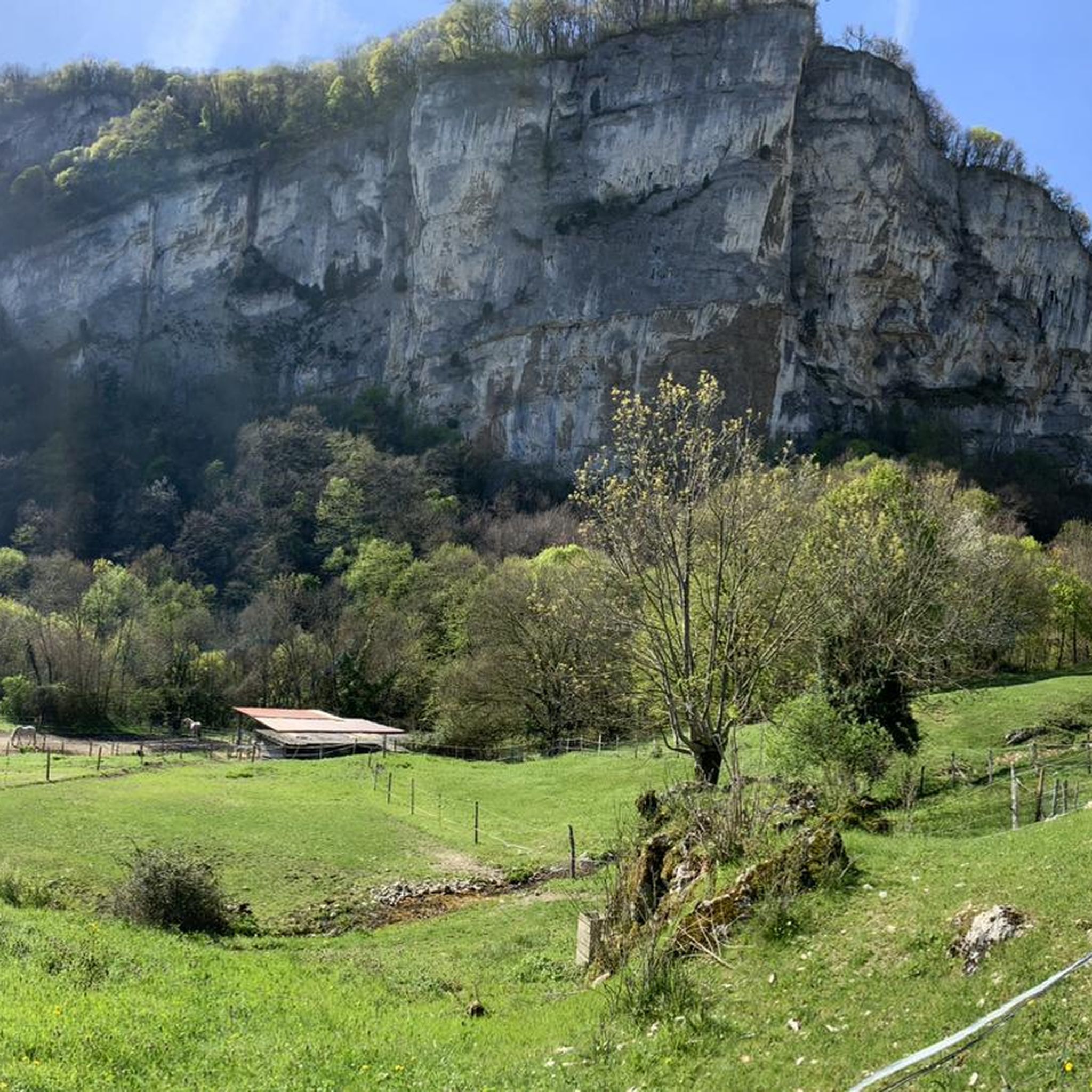
La ViaVercors, the first gentle route in the mountains, offers a discovery itinerary for tourism and leisure purposes over nearly 55 km. Located in the Vercors Regional Natural Park, it connects the municipalities in the area to form an inter-municipal link for eco-mobility. Engins, Saint-Nizier-du-Moucherotte, Lans-en-Vercors, Villard-de-Lans, Corrençon-en-Vercors, Autrans-Méaudre en Vercors, no municipality is forgotten.
0
0
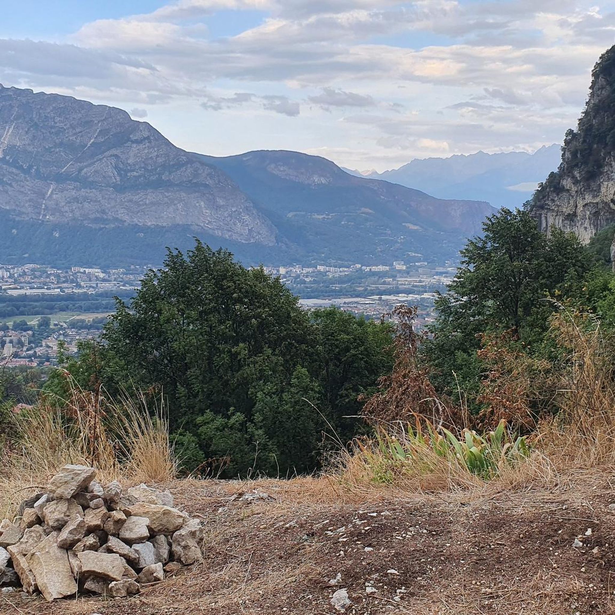
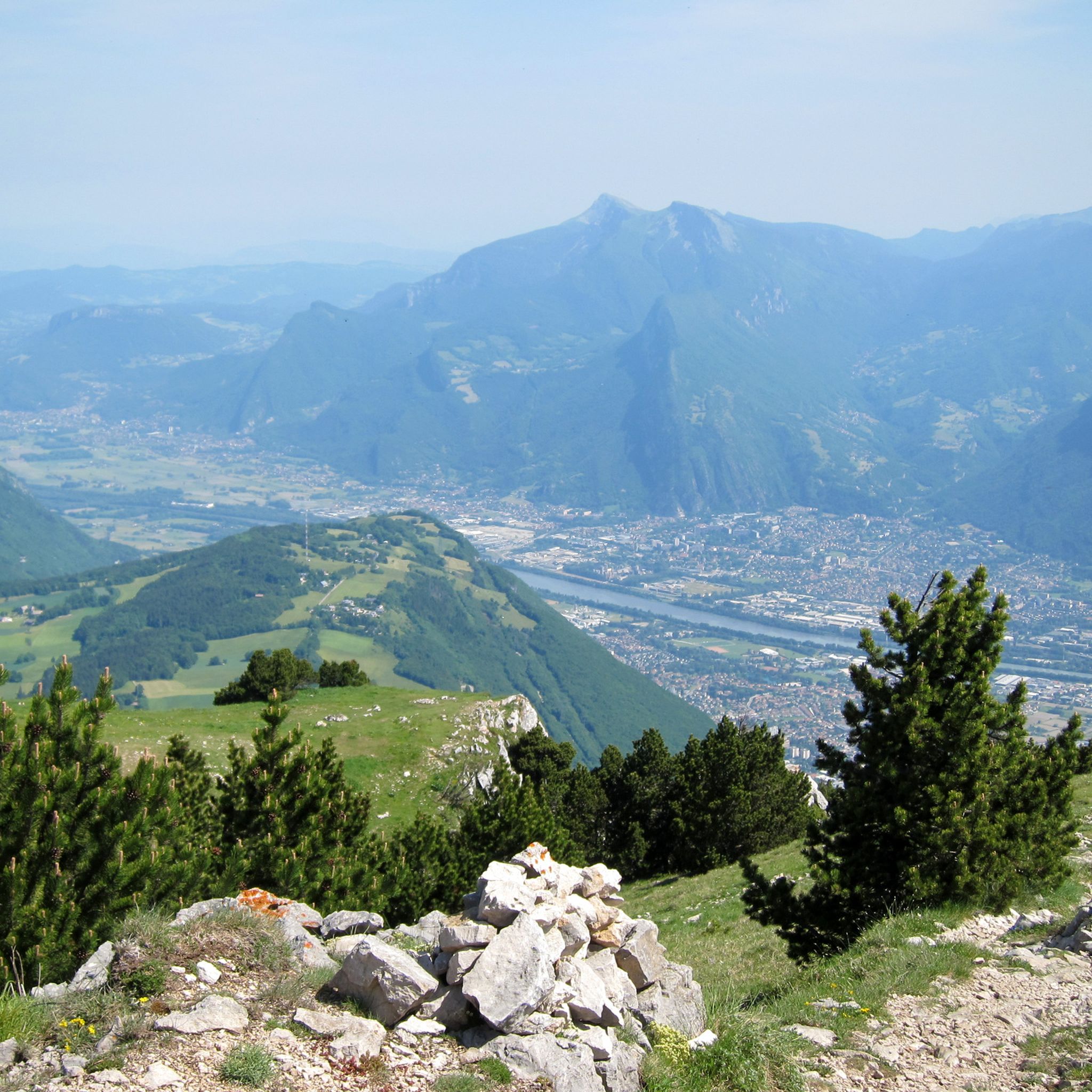
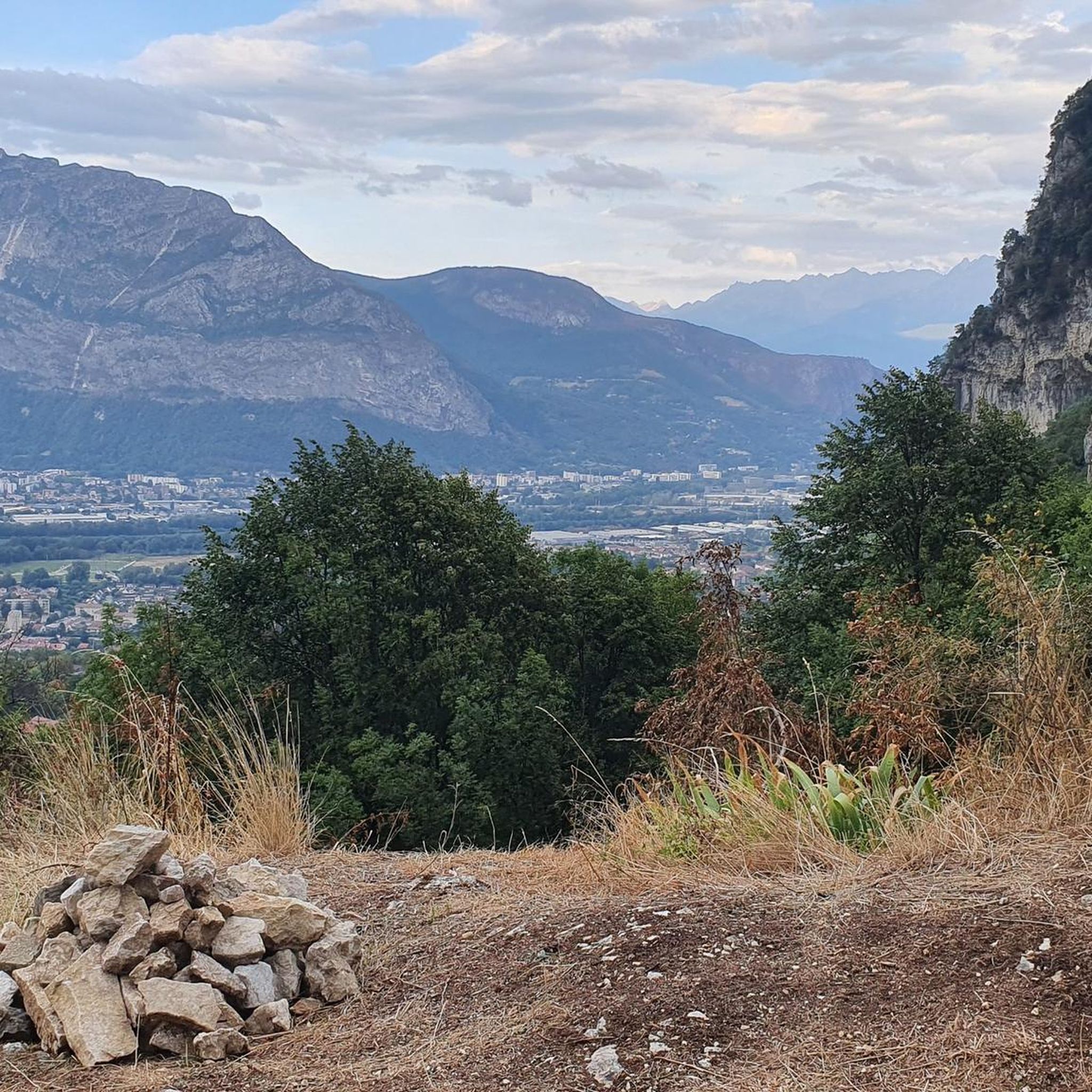
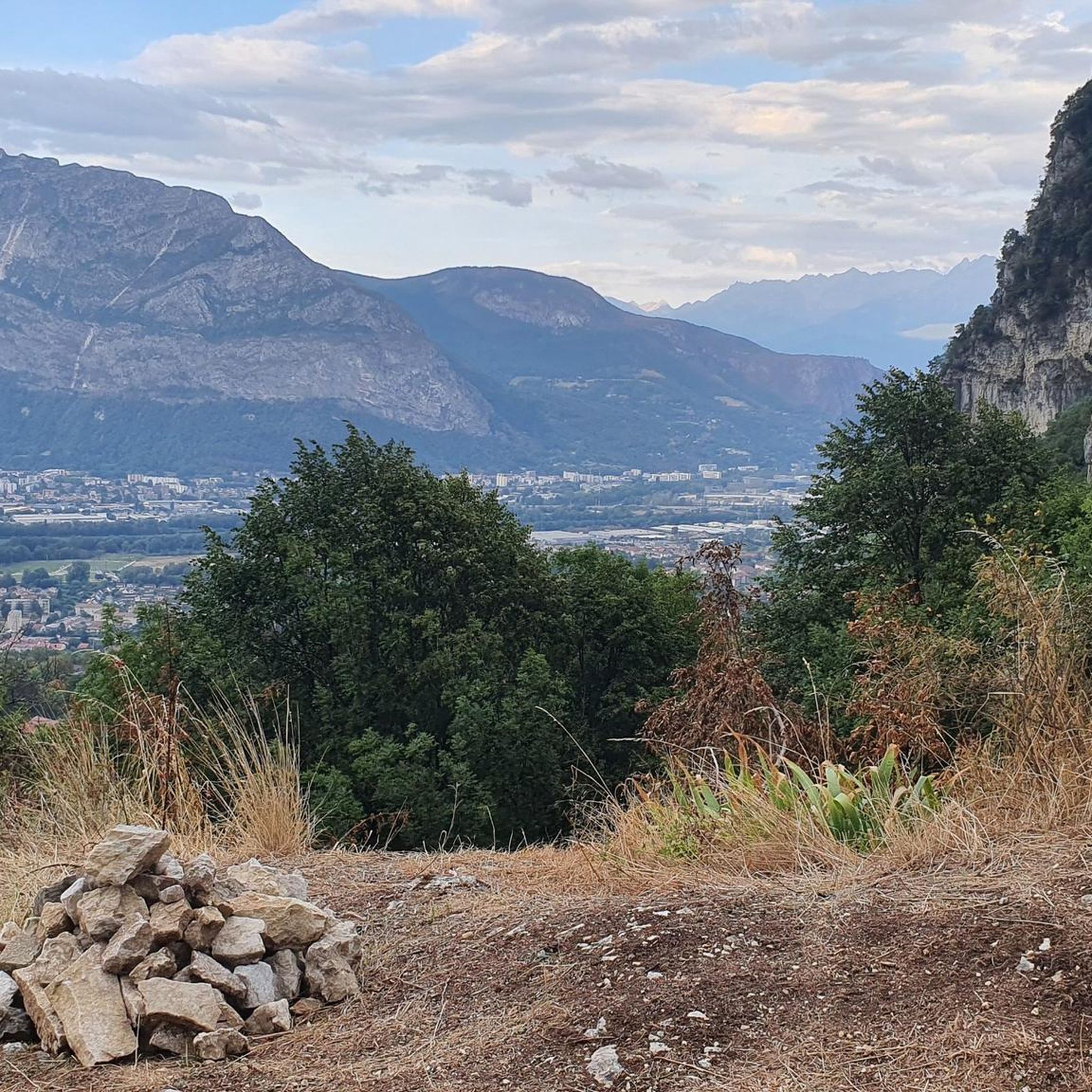
Because at an altitude of 1100m, St Nizier du Moucherotte is the highest village in the Vercors. Located on a natural promontory, it offers a breathtaking view of the entire Grenoble valley, proudly dominated by the mythical summit of the "trois Pucelles".
0
0
Because at an altitude of 1100m, St Nizier du Moucherotte is the highest village in the Vercors. Situated on a natural promontory, it offers a breathtaking view of the entire Grenoble valley, which the mythical "three Virgins" summit proudly overlooks.
0
0
The Vercors is a vast mid-mountain massif located between Isère and Drôme in the Auvergne-Rhône-Alpes region. The main missions of the Regional Natural Park are: to preserve and enhance natural environments, to support the sustainable development of its territory in the fields of agriculture, tourism, culture, energy, mobility, urban planning... and much more.
0
0
The expression « Arche Végétale » refers to different concepts depending on the context, ranging from garden design to urban ecological initiatives.
0
0
La ViaVercors, the first mountain greenway, offers a discovery route for tourism and leisure purposes over nearly 55 km. Located in the Vercors Regional Natural Park, it connects the municipalities of the territory to form an inter-municipal link for ecomobility. Engins, Saint-Nizier-du-Moucherotte, Lans-en-Vercors, Villard-de-Lans, Corrençon-en-Vercors, Autrans-Méaudre en Vercors, no municipality is forgotten.
0
0

The most direct passage to leave Grenoble by the South following the Drac Decathlon Comboire is just to the south
0
0
Frequently Asked Questions
How many gravel bike trails are available around Sassenage?
There are over 70 gravel bike trails around Sassenage, offering a wide range of options for different skill levels and preferences. The komoot community has explored more than 1,500 gravel biking adventures in the area.
Are there gravel routes suitable for beginners or families in Sassenage?
Yes, Sassenage offers several routes with minimal gradients, ideal for beginners and families. The region research highlights the 'Boucle vélo de Sassenage' as a family-friendly option along the Furon canal and Isère River, featuring dedicated cycling paths. The guide also notes that the network includes options for easy family routes.
What kind of natural landscapes can I expect to see on gravel bike trails near Sassenage?
Gravel biking around Sassenage offers incredibly diverse natural landscapes. You'll traverse riverbanks, gorges, and mountain foothills, with routes providing views of the majestic Vercors and Chartreuse massifs. Expect to see stunning cliffs, forested areas, and unique geological formations, including the picturesque Furon gorges.
Are there any challenging gravel bike trails for advanced riders?
Absolutely. While there are easier options, Sassenage also caters to advanced riders with more challenging climbs and varied terrain. For example, the Proveysieux – Col de la Charmette loop from Grenoble is a difficult 70 km trail with significant elevation gain, perfect for experienced gravel bikers seeking a demanding adventure.
What are some notable landmarks or attractions I can visit along the gravel bike routes?
Many gravel routes offer access to fascinating landmarks and natural attractions. You can explore the historic Château de Sassenage with its beautiful park, or venture into the unique Sassenage Cisterns (Caves), a natural cave system. For panoramic views, consider routes that pass near The Moucherotte Summit or the Fort of Saint-Eynard.
Are there any loop gravel bike trails in the Sassenage area?
Yes, many of the gravel bike trails around Sassenage are designed as loops, allowing you to start and end at the same point. A popular option is the View of Grenoble – Old streetcar track loop from Grenoble, which offers scenic views and is a great way to explore the area without retracing your steps.
What do other gravel bikers enjoy most about Sassenage?
The komoot community highly rates gravel biking in Sassenage, with an average score of 4.5 stars from over 200 reviews. Riders often praise the diverse terrain, which blends asphalt and dirt tracks, and the stunning views of the Vercors and Chartreuse massifs. The variety of routes, from easy family rides to challenging climbs, is also a frequently highlighted positive aspect.
Can I access gravel bike trails near Sassenage using public transport?
Sassenage's proximity to Grenoble enhances its accessibility. While specific public transport connections to trailheads might vary, Grenoble itself is well-served by public transport. Many routes, like the Faucherand gallery – Old streetcar track loop from Grenoble, start from Grenoble, making them potentially accessible via public transport connections to the city.
Are there any routes that feature waterfalls or gorges?
Yes, the region is known for its dramatic natural features. The town's old center is nestled near the picturesque Furon gorges, and the Eagle's Beak and Coup de Sabre Gorge are nearby. You can also find a Waterfall and Rocky Stream in Parc Naturel Régional du Vercors, offering beautiful natural sights along some routes.
What is the best time of year for gravel biking in Sassenage?
The diverse terrain around Sassenage makes it suitable for gravel biking across multiple seasons. However, spring and autumn generally offer the most pleasant conditions with mild temperatures and vibrant scenery. While winter conditions can occur, especially at higher elevations in the Vercors and Chartreuse massifs, many lower-lying routes along riverbanks remain accessible.
Are there any routes that offer views of Grenoble?
Yes, some routes provide excellent panoramic views of Grenoble and the surrounding valley. The View of Grenoble – Old streetcar track loop from Grenoble is specifically designed to offer such vistas, following an old streetcar track with expansive outlooks.
Can I find routes that explore the Vercors region?
Absolutely. Sassenage is at the foot of the Vercors massif and serves as a gateway to the Vercors Regional Natural Park. The ViaVercors via Lans-en-Vercors – Lans-en-Vercors loop from Saint-Nizier-du-Moucherotte is a moderate path that specifically explores the Vercors region, featuring varied terrain and scenic mountain backdrops.
Most popular routes around Sassenage
Most popular attractions around Sassenage

Get inspired with the komoot mobile app


Explore more
Browse the best Gravel rides in other regions.
